The Road to 65, Mile 358: Positivity Outside

6

November 21, 2015, Prescott- I looked, to no avail, for a parking spot near the point where I left off on Prescott Circle, last Saturday.  I have an ethic about such things:  Never park on a business lot, unless patronizing said business.  So, the second half of Segment 7 will wait until after Thanksgiving, most likely until the afternoon of December 6.

That bit of irrelevance aside, the outdoors, as is well known to my readers, is a huge part of my life.  Positivity arises from the mountains, the desert, the beaches, the grasslands and the serene forests.  Even the ocean has given me a sense of serenity.

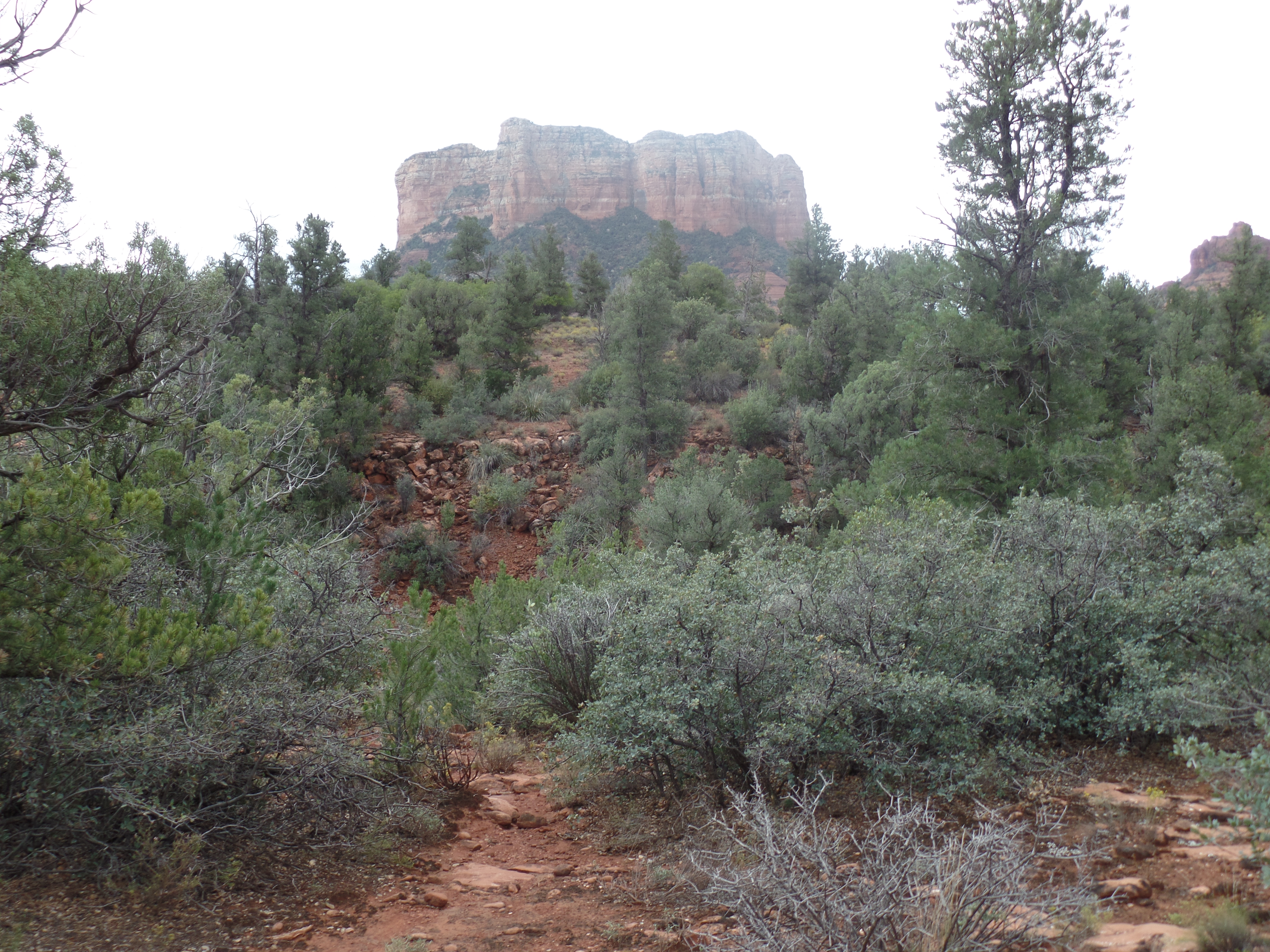
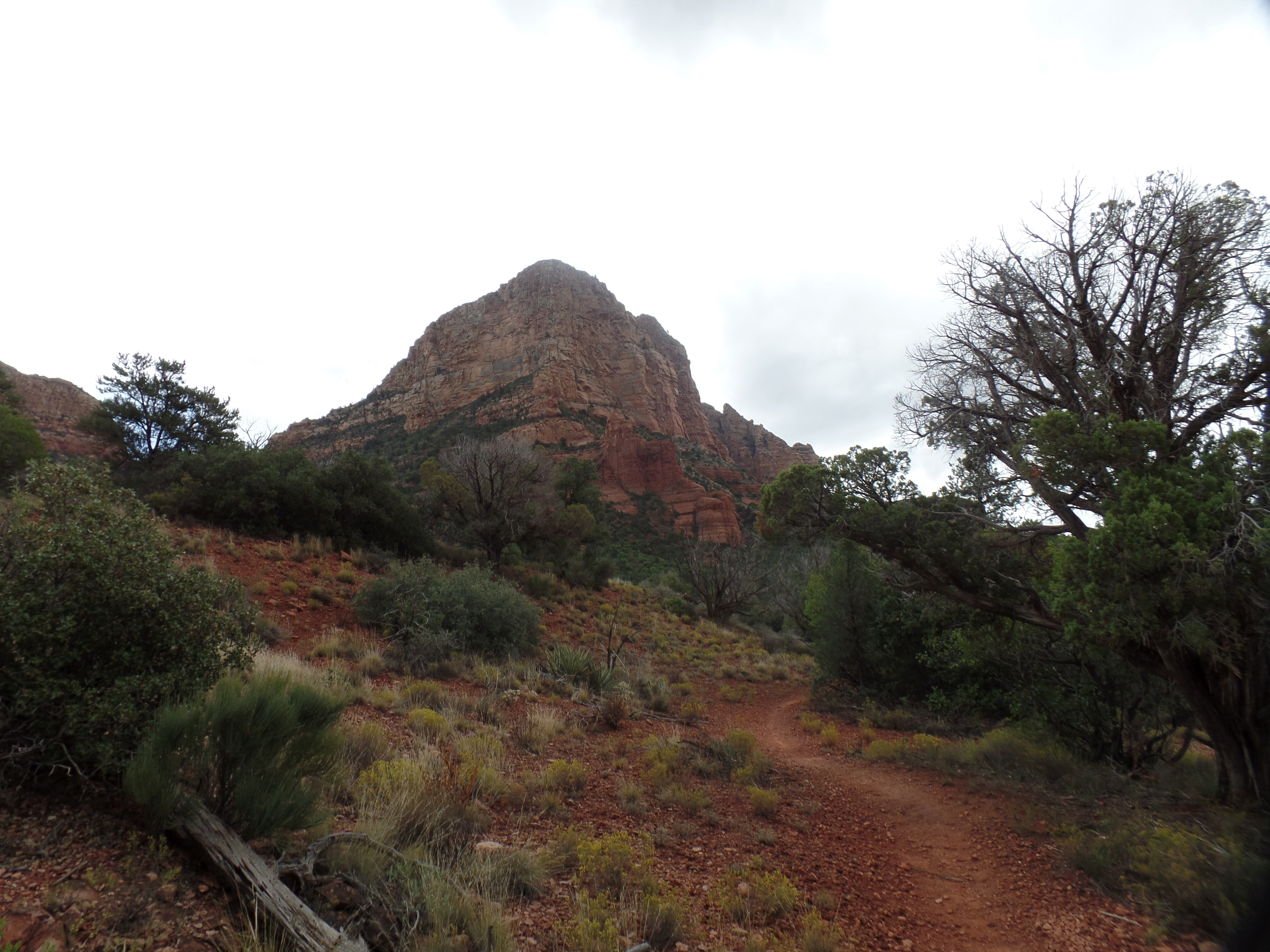
Sedona’s red rocks and pine forests abound in good vibrations, as do “our own” forests, lakes and grasslands, around Prescott and vicinity. The vortices of Sedona are closely matched by Thumb Butte.

I have felt similar vibrations elsewhere:  At Indian Gardens, along the Grand Canyon’s Bright Angel Trail; at both Spirit (“Devil’s”) Tower and Medicine Wheel, in northeast Wyoming; at Cahokia Mounds and at the Cairo Confluence, in southern Illinois; at Palo Duro Canyon, in northwest Texas; at Cape Flattery, Washington (the northwestern-most point in the contiguous United States; atop Harney Peak, South Dakota; at several points along Waikiki Beach, Hawai’i; and at more places than I can count, in southeast Alaska.  Then, too, Spirit knows no boundaries:  Stanley Park, Vancouver, the woods of Metz and Le Donjon, Rouen, France, held me in rapt respect.

The wind spoke to me, while on the ocean between Honolulu and San Diego and the rock along the River Trail glowed, in multicolours, when I first visited Palo Duro.  Spiders rode the breeze, on their webs, at Cathedral Rock, Sedona and spun exquisite places of rest in Olustee State Park, Florida, while I watched, in wonder.

There will, no doubt, be other encounters on the road ahead.  Nature eternally urges us onward.

The Road to 65, Mile 353: A Vacation Memory

9

November 16, 2015, Chino Valley- A friend online has set the week before Thanksgiving as Positivity Week.  No year is more apropos for such an event as this one is, in the wake of such misguided efforts by the disquiet among us, to sow the seeds of fear and doubt.

Her first day’s theme is A Vacation Memory.  Let me go back to 1961, when I was ten and Dad took me to Mt. Chocorua, New Hampshire.  It was my first real tent-camping experience, and my first real uphill climb.  I recall the scent of pines, the feeling of security in the morning, when I awoke to dryness underneath, thanks to our having placed sodcloth and groundcloth as the first layers of our tentsite and the sense of accomplishment at having helped my father build a campfire.

The hike up Mt. Chocorua, under a crystal-clear sky, established my love of the outdoors and of trails.  The chatter of chipmunks, and of blue jays, also made me feel at home.

We would visit the White Mountains several times thereafter, and I would hike the Presidential Range, alone, in 1975.  That week, though, established my father’s indelible presence in my life, and that made the biggest difference.

The Road to 65, Mile 351: Marmalade Chicken and Old Bullwhacker

6

November 14, 2015, Prescott- The nice thing about most Saturdays is that they tend to be the most open-ended day of the week.  Today, for example, gave me a chance for a haircut, though not to visit the Farmer’s Market.

The trade-off came with the commemoration of one of our greatest Holy Days:  The anniversary of the Birth of Baha’u’llah.  As I explained a day or so ago, we Baha’is now observe this Day in tandem with the anniversary of the Birth of Al-Bab.  The spiritual power of these “twin” Holy Days has yet to be seen by humanity-at-large, but it is felt by me, and millions of others around the world.

About twenty-five of us gathered at the home of a retired physician and a retired pharmacist.  We shared the account of Baha’u’llah’s early life and several prayers, then enjoyed yet another fine Persian repast, prepared by the ladies.  Among the particular delights were two types of chicken:  Rosemary and marmalade.  These give me two more ideas for the crock pot, this winter.  Lamb meatballs were also delectable, but it would take me lots more practice to get those done right.
After tarrying and conversing with my fellows-in-faith, a bit longer than usual on a beautiful afternoon, I headed home, changed clothes, and course, hitting the trail on Segment 7 of Prescott Circle Trail.  The northern half of this segment occupied me from 3-6:30 P.M., and takes in about 4.5 miles, between Watson Lake and State Highway 69.

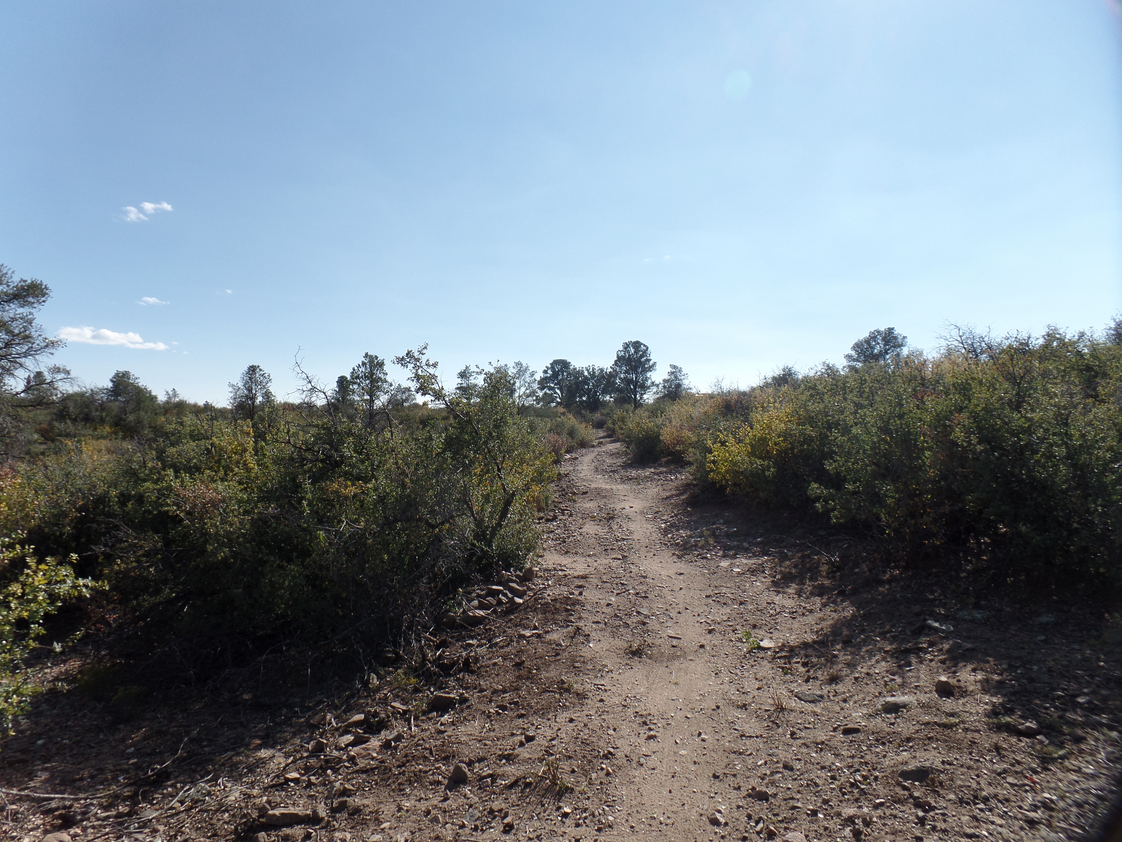
The area is one in which I have driven several times a week, while glancing over at the wilderness between several industrial parks and one of our major shopping plazas.  Today, I got to walk that wilderness.  Largely scrub oak forest and tall grass, it traverses an old city landfill, now home to a medium-sized herd of deer, and a pristine valley, looking somewhat like a bowl, carved by two creeks, over thousands of years. Here are some shots of the northern half of Segment 7.

SAMSUNG CAMERA PICTURES

This is a southern extension of the Peavine Trail, part of the Rails-to-Trails Project.  It follows an underpass at the junction with Prescott Lakes Boulevard, the connector road from northeast Prescott to State Highway 69.

SAMSUNG CAMERA PICTURES

This scene, and the next one, are atop the former Prescott landfill, now left to area wildlife, and their admirers.

SAMSUNG CAMERA PICTURES

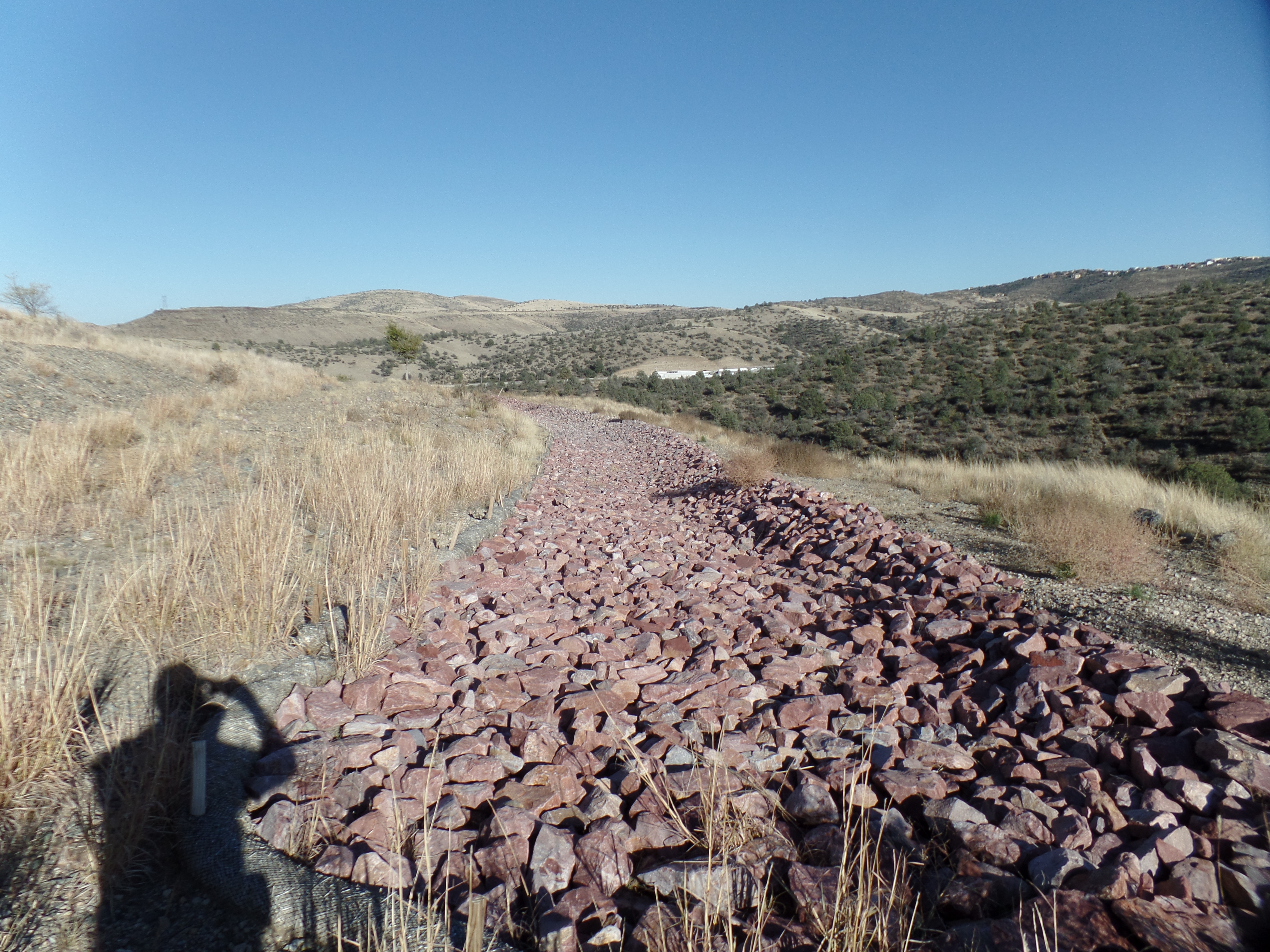
                                            This crushed rock bed serves as a drainage medium.

SAMSUNG CAMERA PICTURES

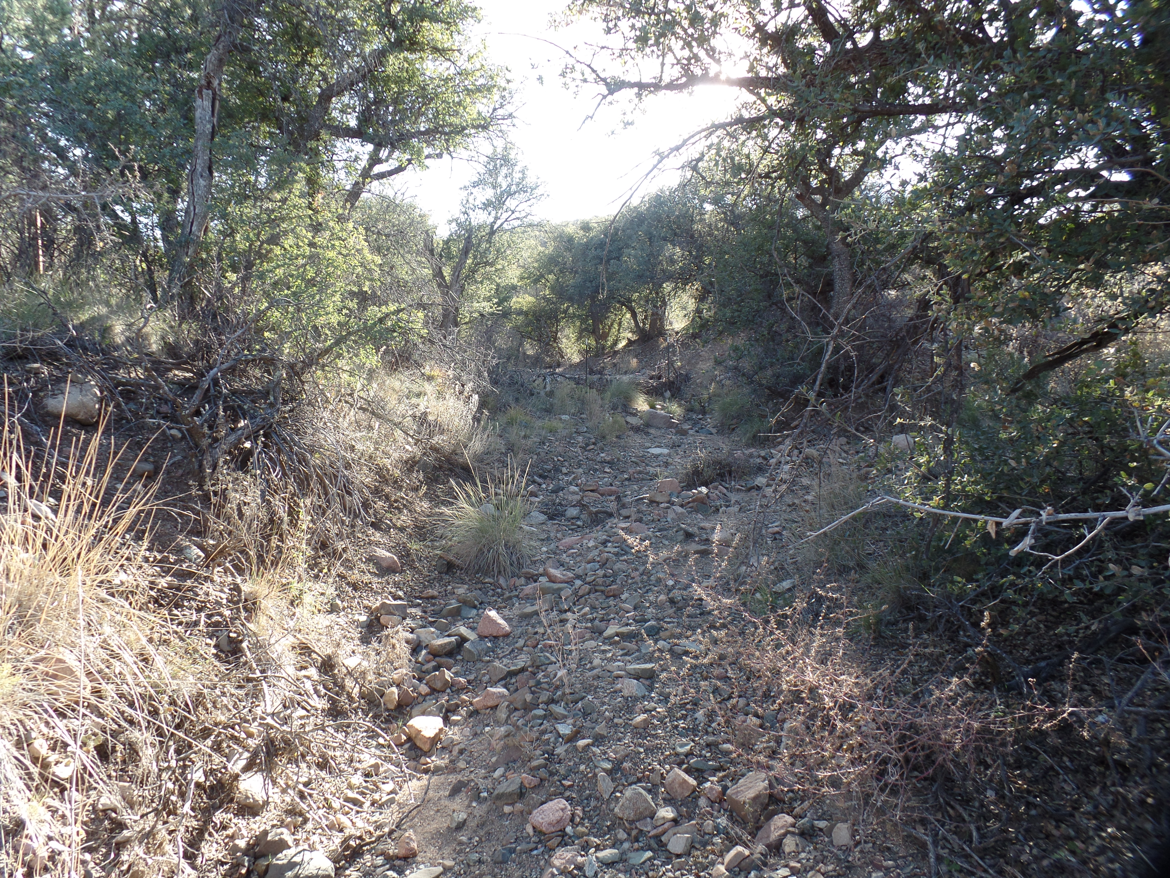
  Coming down off the landfill site, I crossed this dry wash, then went past the Yavapai County Justice Center,  a juvenile court.  There was no activity there, today.

SAMSUNG CAMERA PICTURES

                  Several bicyclists shared the trail with me today, coming quickly downhill, into washes like this.

SAMSUNG CAMERA PICTURES

This area, west of a WalMart, of all things, is as quiet and unassuming as any woodland in Prescott National Forest, some three miles further south.

SAMSUNG CAMERA PICTURES

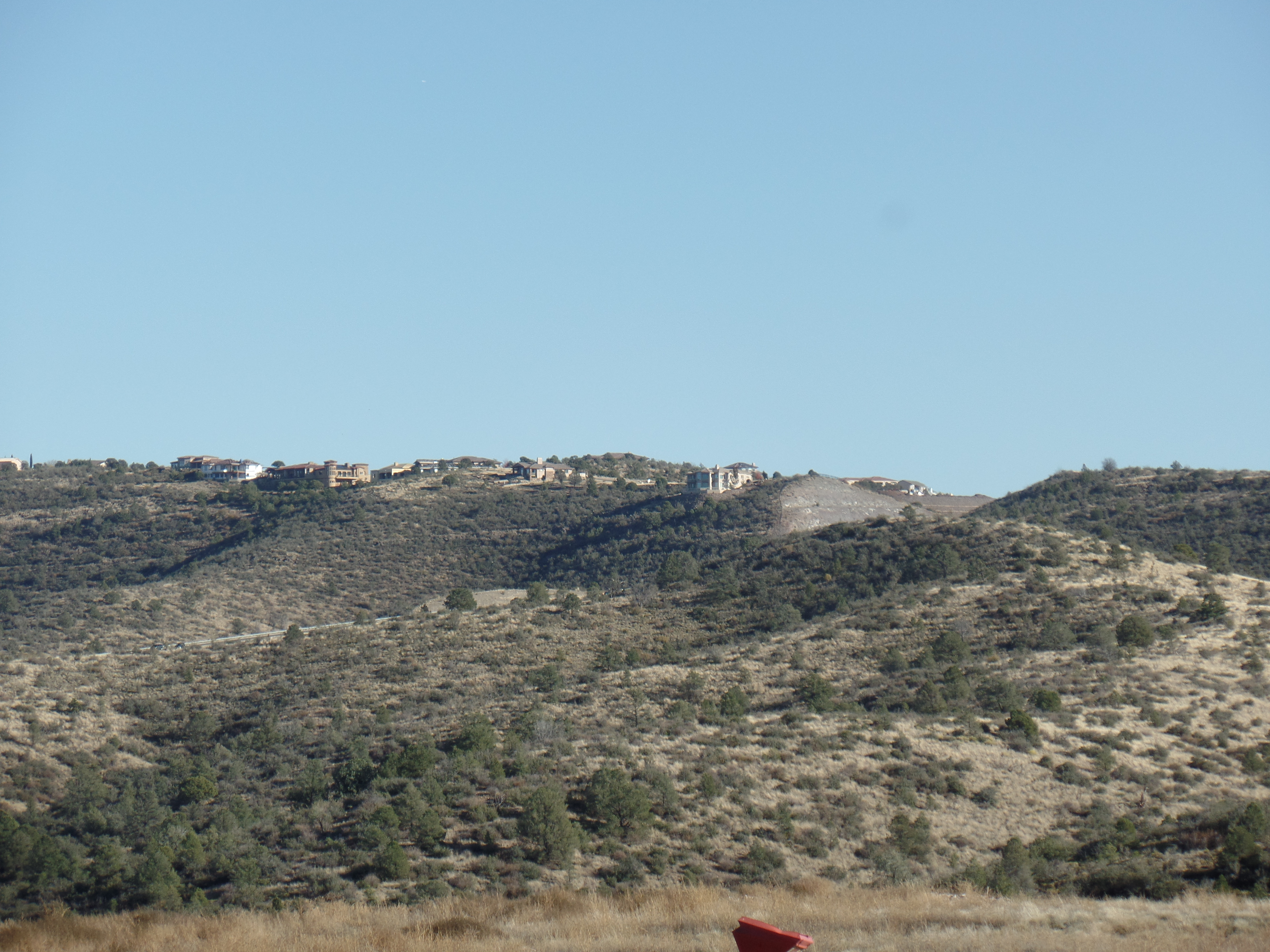
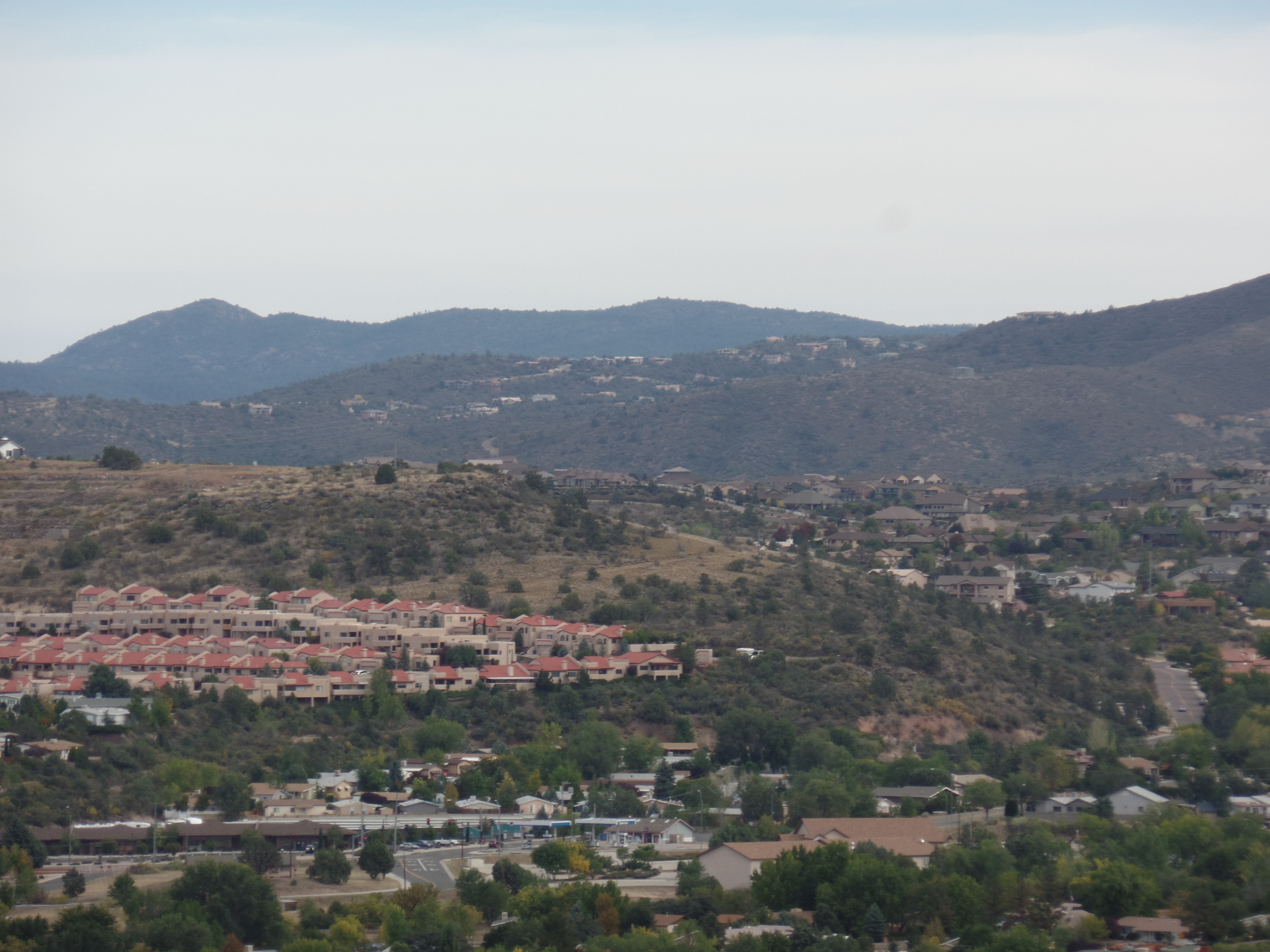
        From the ridge above the “bowl” seen above, I had this view of the hazy hills to the west and northwest.

SAMSUNG CAMERA PICTURES

                        Atop Old Bullwhacker Hill, I saw the southern half of Segment 7.

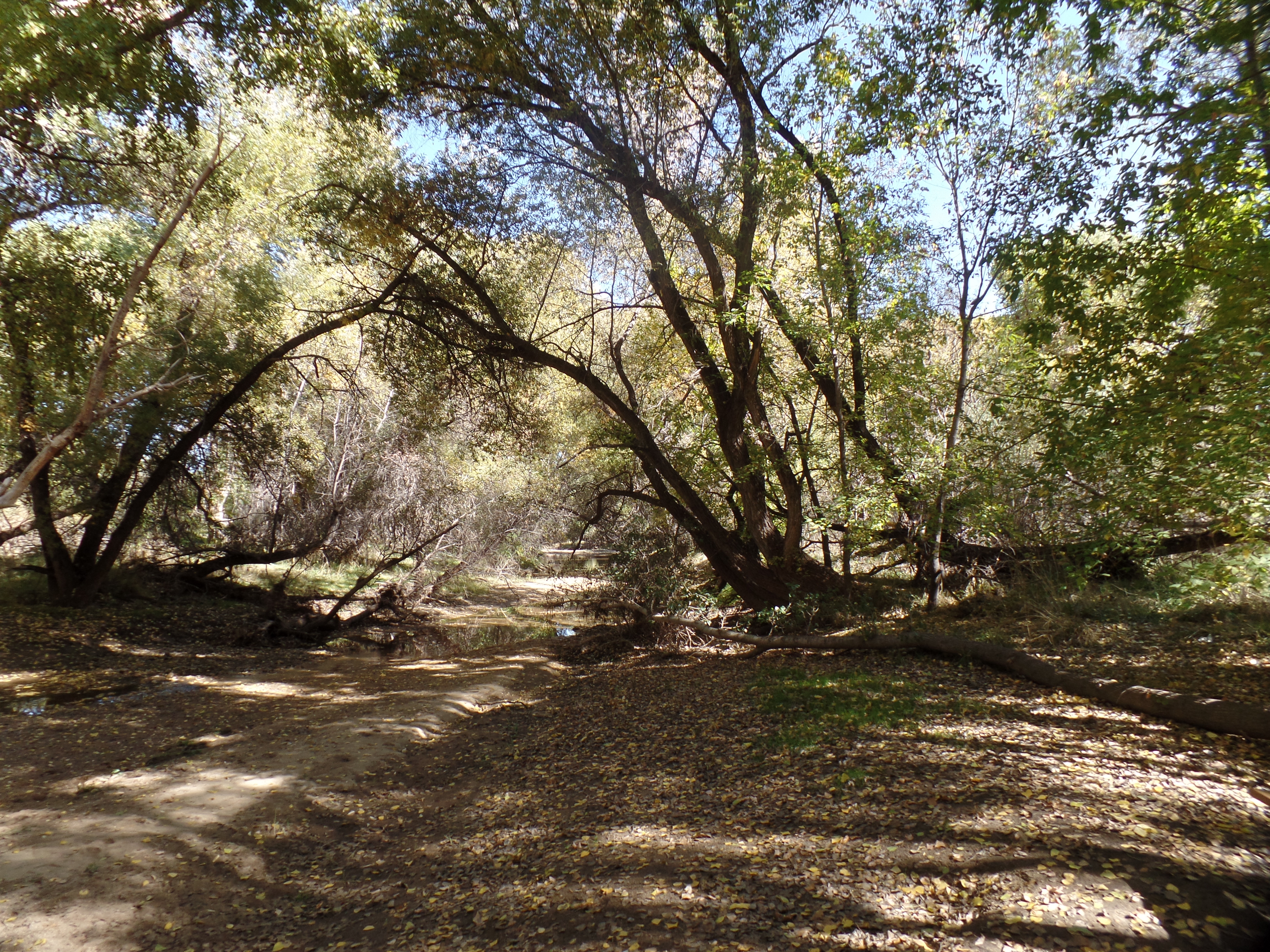
At the foot of Old Bullwhacker, I found another copse of trees and a dry creek bed, between two shopping centers.

SAMSUNG CAMERA PICTURES

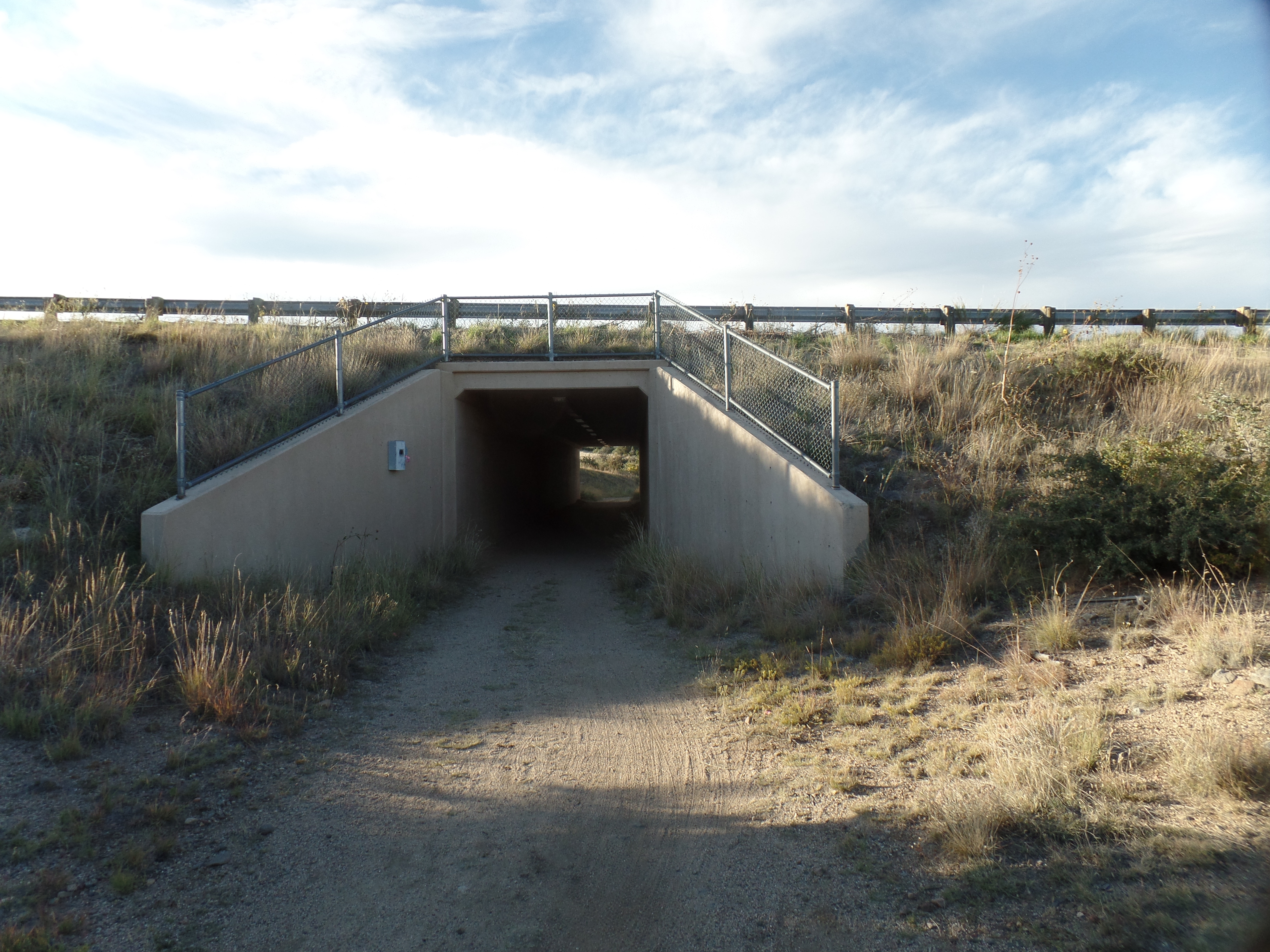
This trail leads to a culvert, through which one may pass under the busy AZ Highway 69.

As I was wending my way back to the Peavine Parking Lot, I got a call from Aram, filling me in on some news from his end.  After a ten-minute conversation, I looked down and saw this little affirmation, from the Universe.

SAMSUNG CAMERA PICTURES

The Road to 65, Mile 343: Brief Return

8

November 6, 2015, Prescott- Aram spent two days here, and we got all of his possessions packed and loaded for his return to San Diego.  He is standing on his own, in a full-fledged way. I could not be prouder of the powerful, clear-headed, forthright man he has become.  There are times when I wish I could stand as tall, figuratively, but I know it has come hard for him.

We ended his time here with an hour or so hiking in the Granite Dells, north of Watson Lake.  This is an exquisite side trail to Prescott Circle, and one of which I could never tire.

Here are a few scenes.

Granite Dells, north of Watson Lake

The above is the first sight of the Dells, along the Flume Trail, a vigourous hike, which takes the high road to Watson Dam.

SAMSUNG CAMERA PICTURES

SAMSUNG CAMERA PICTURES

                   The sad part is, there is no flow to Granite Creek here, and it’s algae ridden.

SAMSUNG CAMERA PICTURES

                                      I was able to make the trail, without a walking stick.

SAMSUNG CAMERA PICTURES

SAMSUNG CAMERA PICTURES

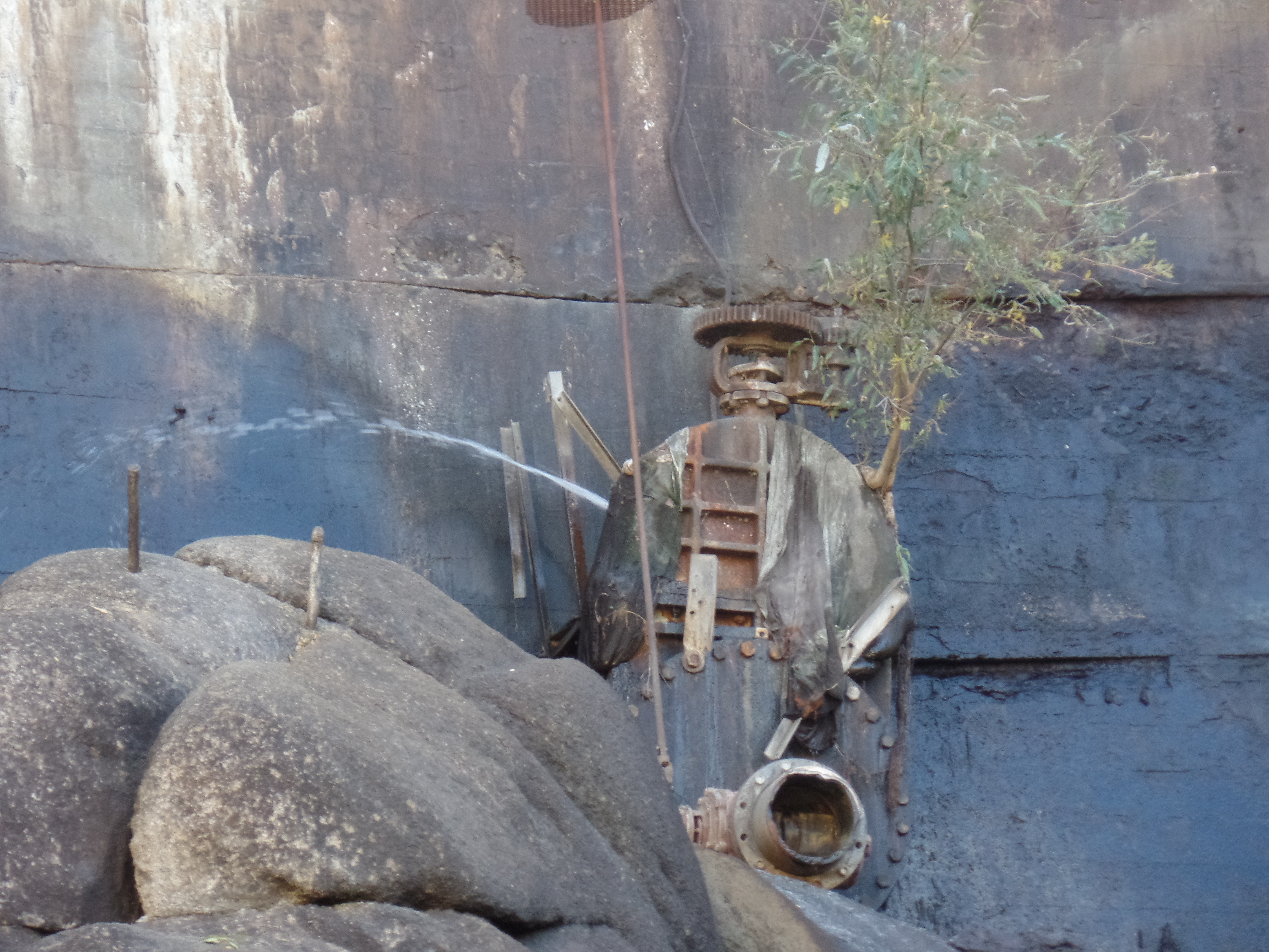
We spotted a leak in the feeder pipe, attached to the dam.  At least the structure itself is not leaking.

SAMSUNG CAMERA PICTURES

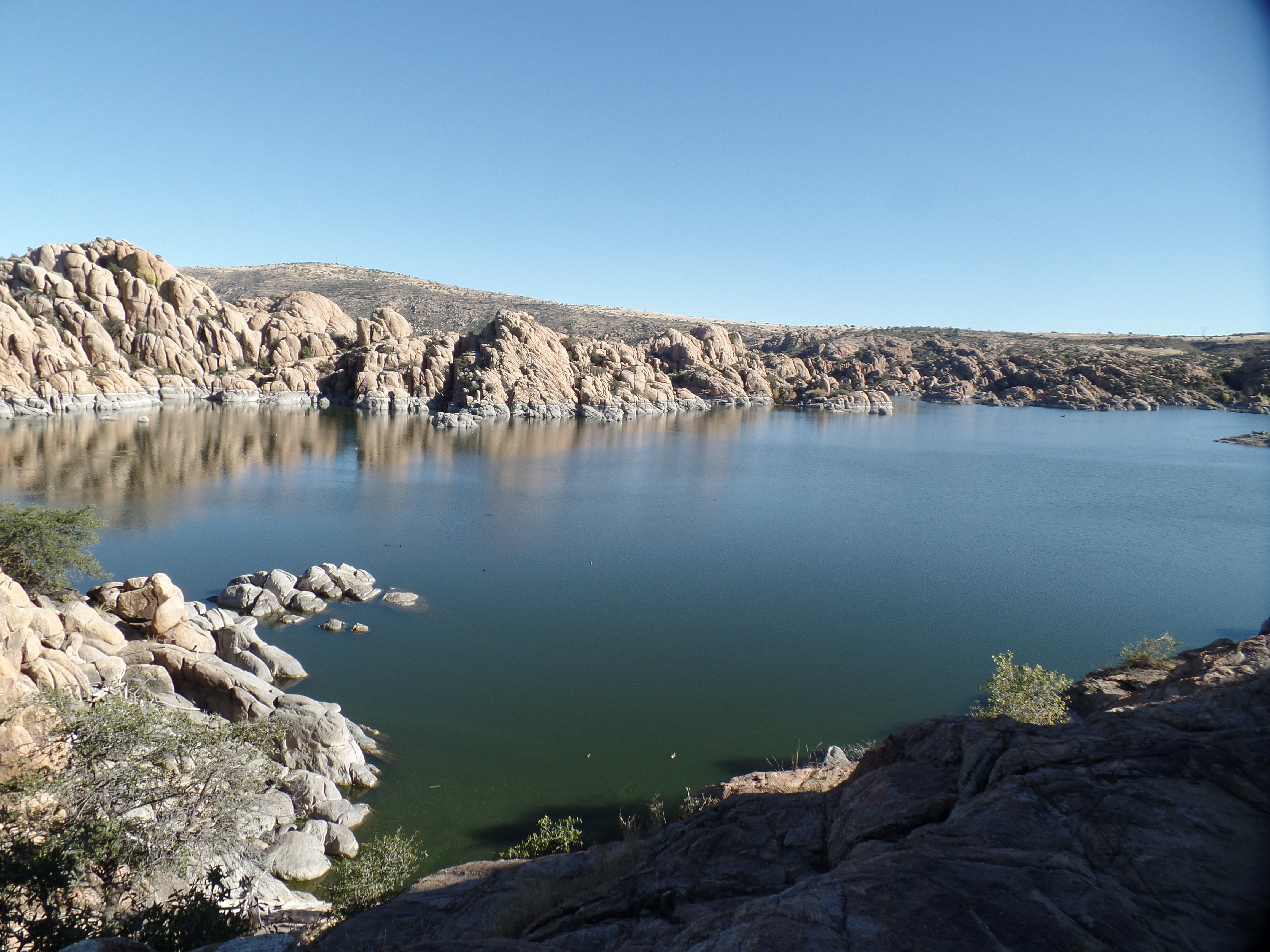
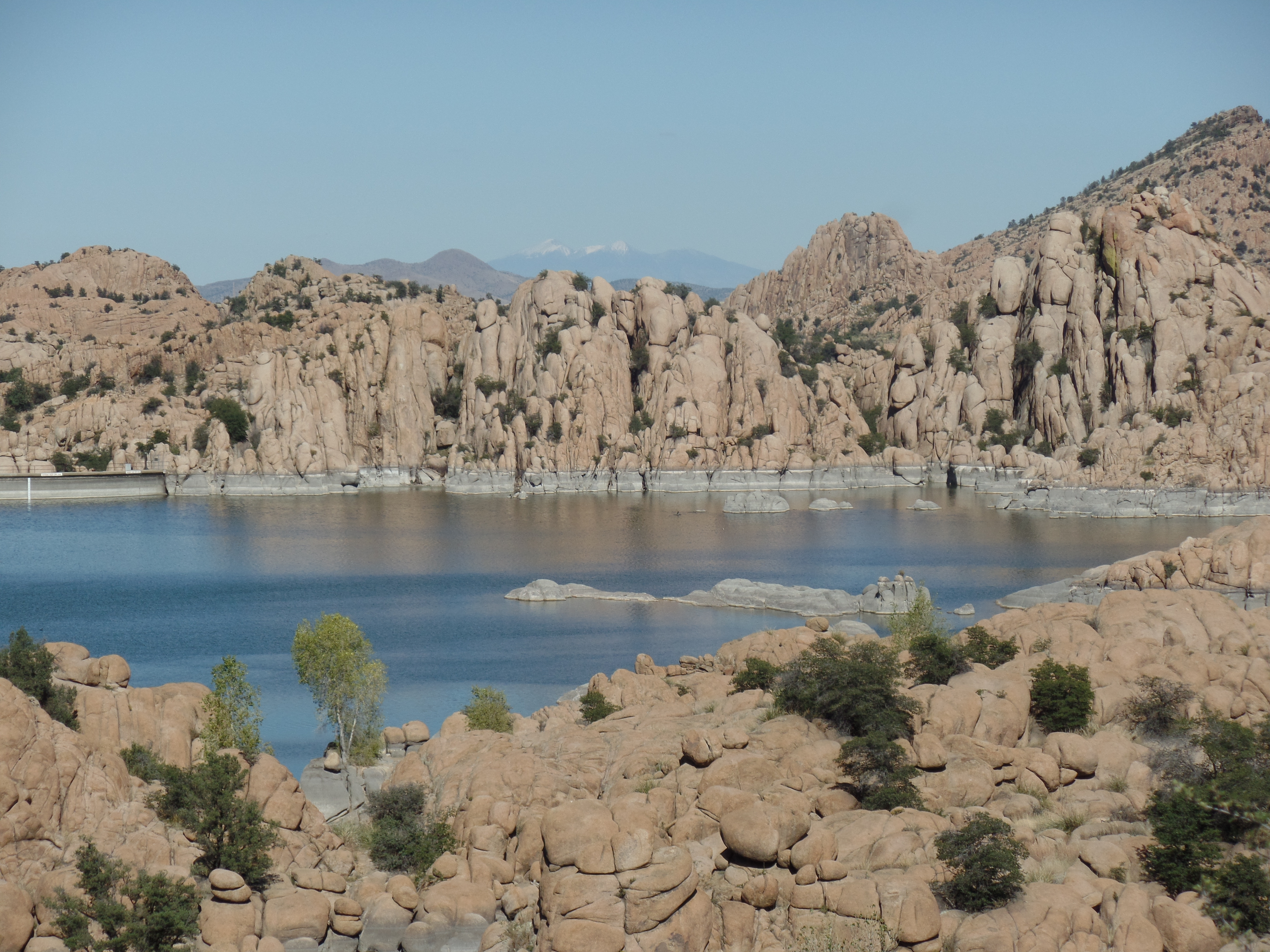
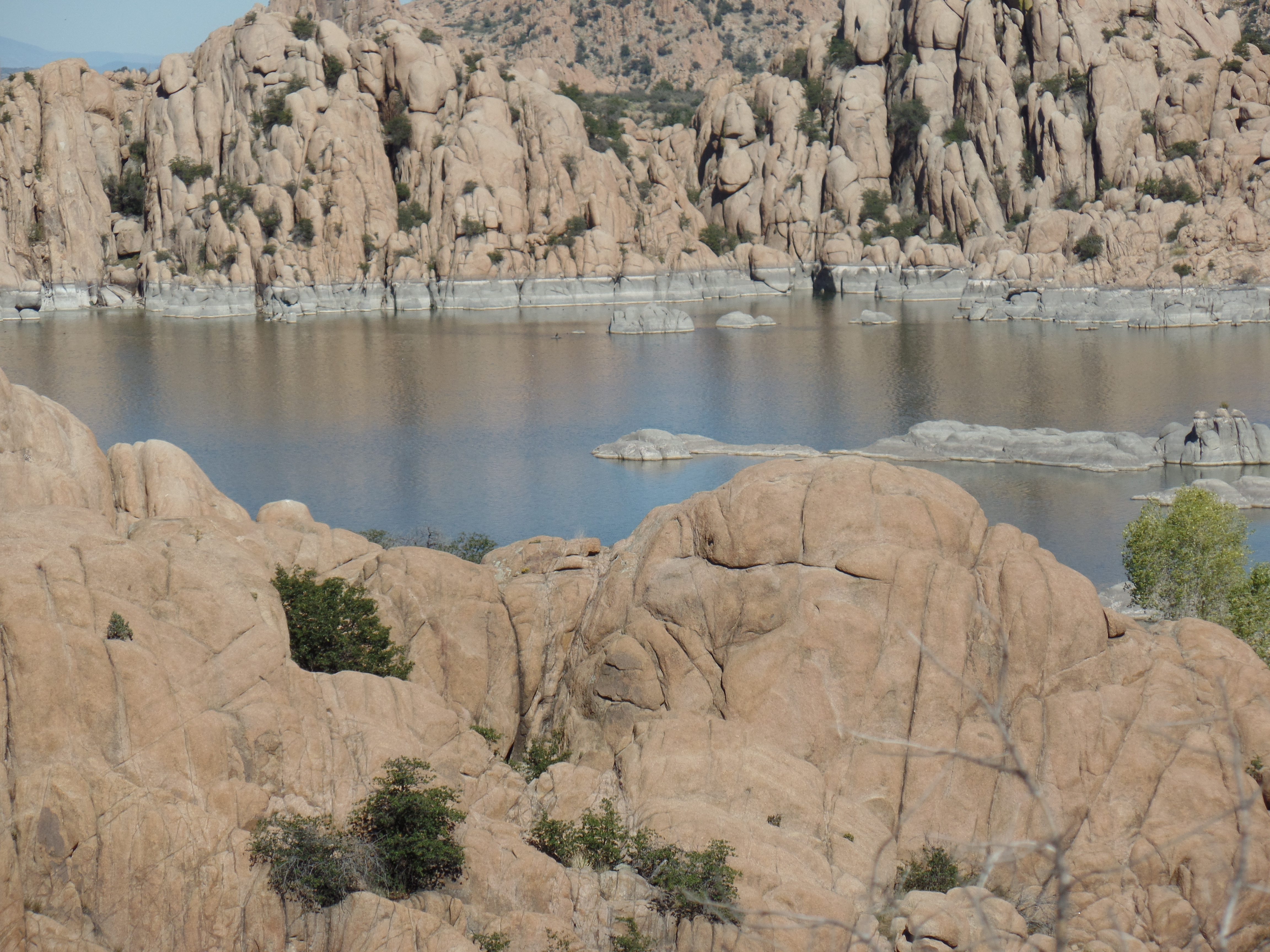
The next order of business was to head for the overlook.  The Dells and Watson are a divine match.

SAMSUNG CAMERA PICTURES

SAMSUNG CAMERA PICTURES

SAMSUNG CAMERA PICTURES

                                       I took a rest, among the boulders away from the trail, a bit.

SAMSUNG CAMERA PICTURES

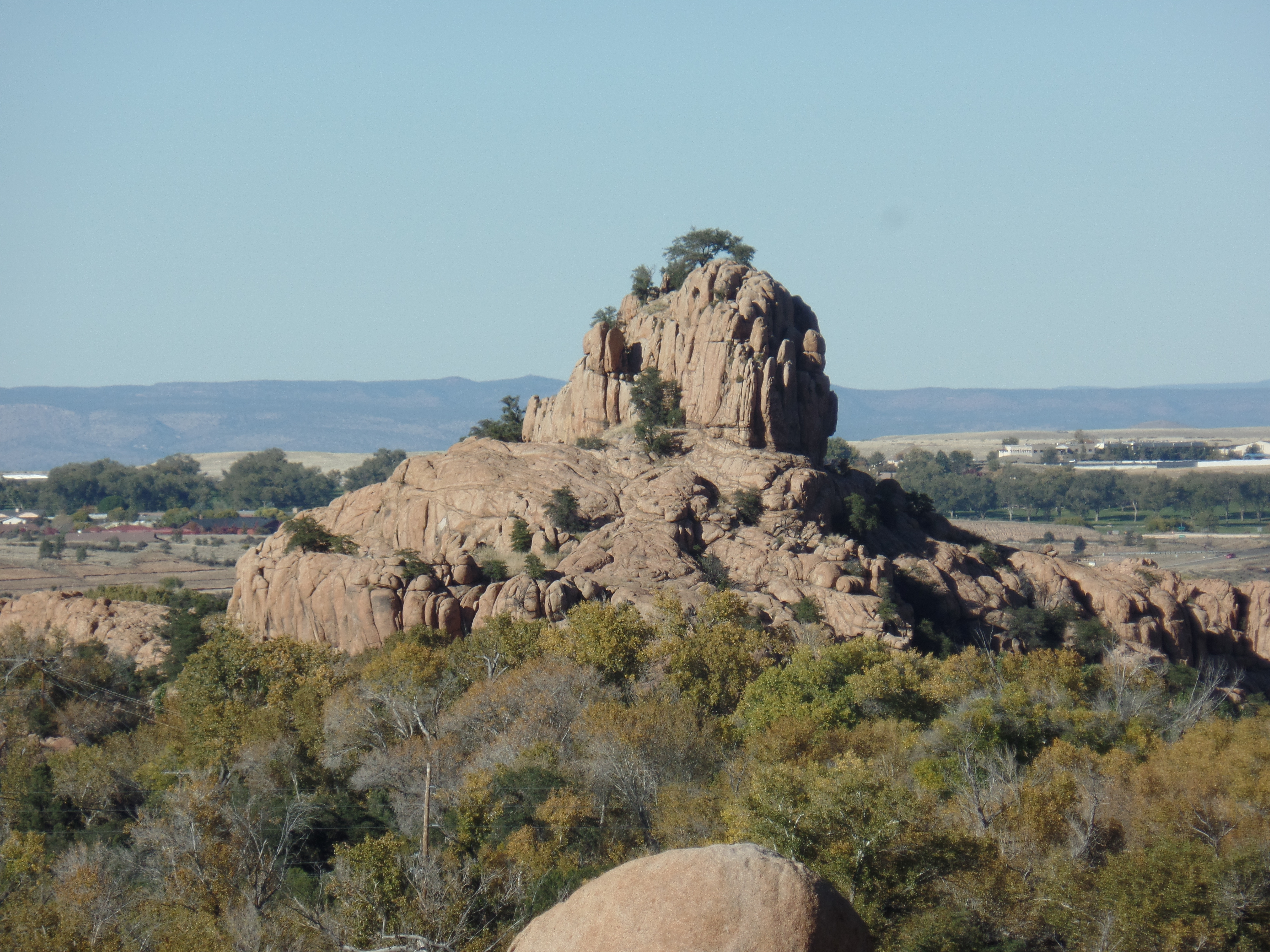
                          A lone butte, across the road from the trailhead, keeps watch on the Dells.

Our adventure ended around 3:30, then Aram headed back towards his place of maturity.  I tucked into a fine meal at the Legion, and enjoyed a drum circle with friends, later this evening.  It’s been a fantastic day.

The Road to 65, Mile 330: Prescott Circle Trail, Segment 8

10

October 24, 2015, Prescott- I spent a few hours walking the shortest segment of PC, from Willow Lake to Peavine Trail Head, alongside the north and west shores of Watson Lake.  This older and smaller of the twin reservoirs is bounded by  Granite Dells, to the north, Glassford Hill, to the east, and Granite Creek, to the south and west.

The first part of the segment follows Willow Lake Road, away from Willow Dells, to Highway 89, which I crossed, just north of a roundabout, when the near constant flow of traffic was abated, courtesy of traffic signals, some distance away, in either direction.  Highway 89 is a four-laner, and has crosswalks, so no overpass is needed.

I then came to Watson Lake Park, one of my favourites here.  The Dells make it an especially otherworldly place.

SAMSUNG CAMERA PICTURES

SAMSUNG CAMERA PICTURES

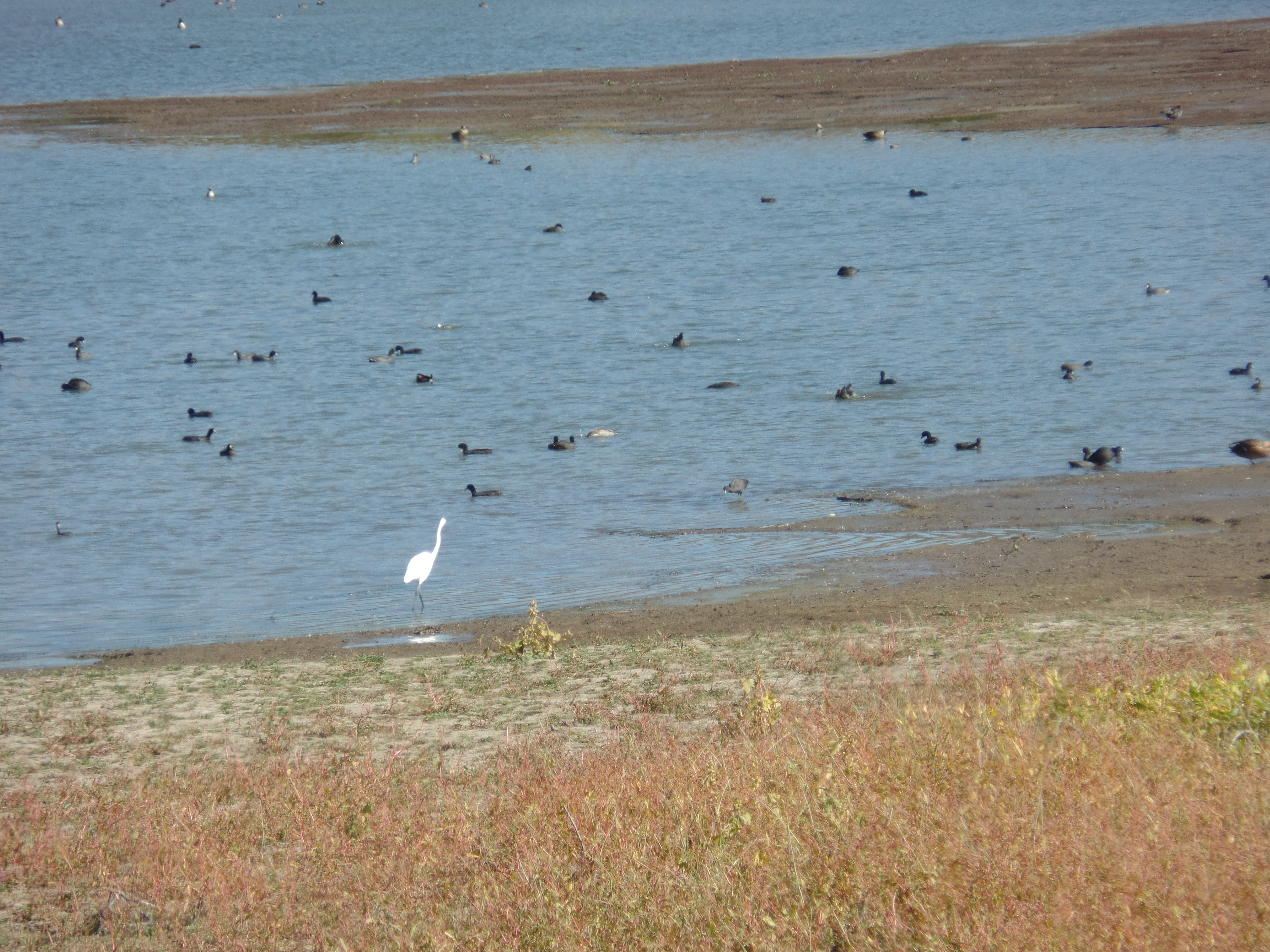
The trail took me away from the Dells, for a bit, along the west shore, where waterfowl were abundant.  Two Greater Sandhill Cranes were among the crowd.

SAMSUNG CAMERA PICTURES

SAMSUNG CAMERA PICTURES

SAMSUNG CAMERA PICTURES

As you can see above, at first, the female was being rather coy.The riparian trail then went off into the marshy terrain near Granite Creek, which is rather paltry at present.

SAMSUNG CAMERA PICTURES

SAMSUNG CAMERA PICTURES

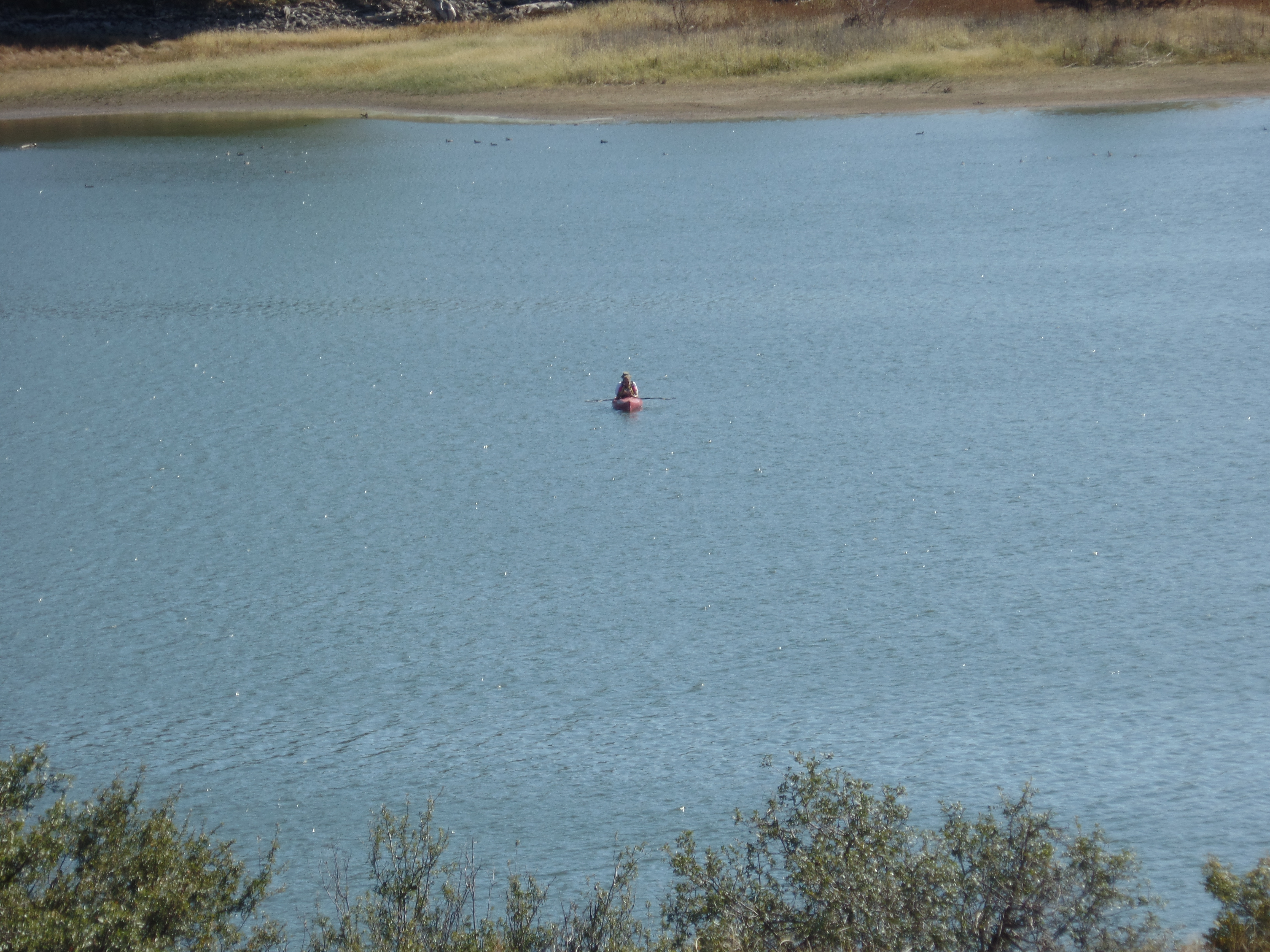
Upon coming to the rather mundane Peavine Trail Head, I resolved to return there and resume my hike, with segment 7.  Ambling back to Watson Lake, I spotted a lone kayaker.

The surreality of the Dells never gets old, so here we are again.

SAMSUNG CAMERA PICTURES

Next up:  The Peavine Trail Head to Highway 69. (First half of Segment 7).

The Road to 65, Mile 318: Prescott Circle, Segment 9.

6

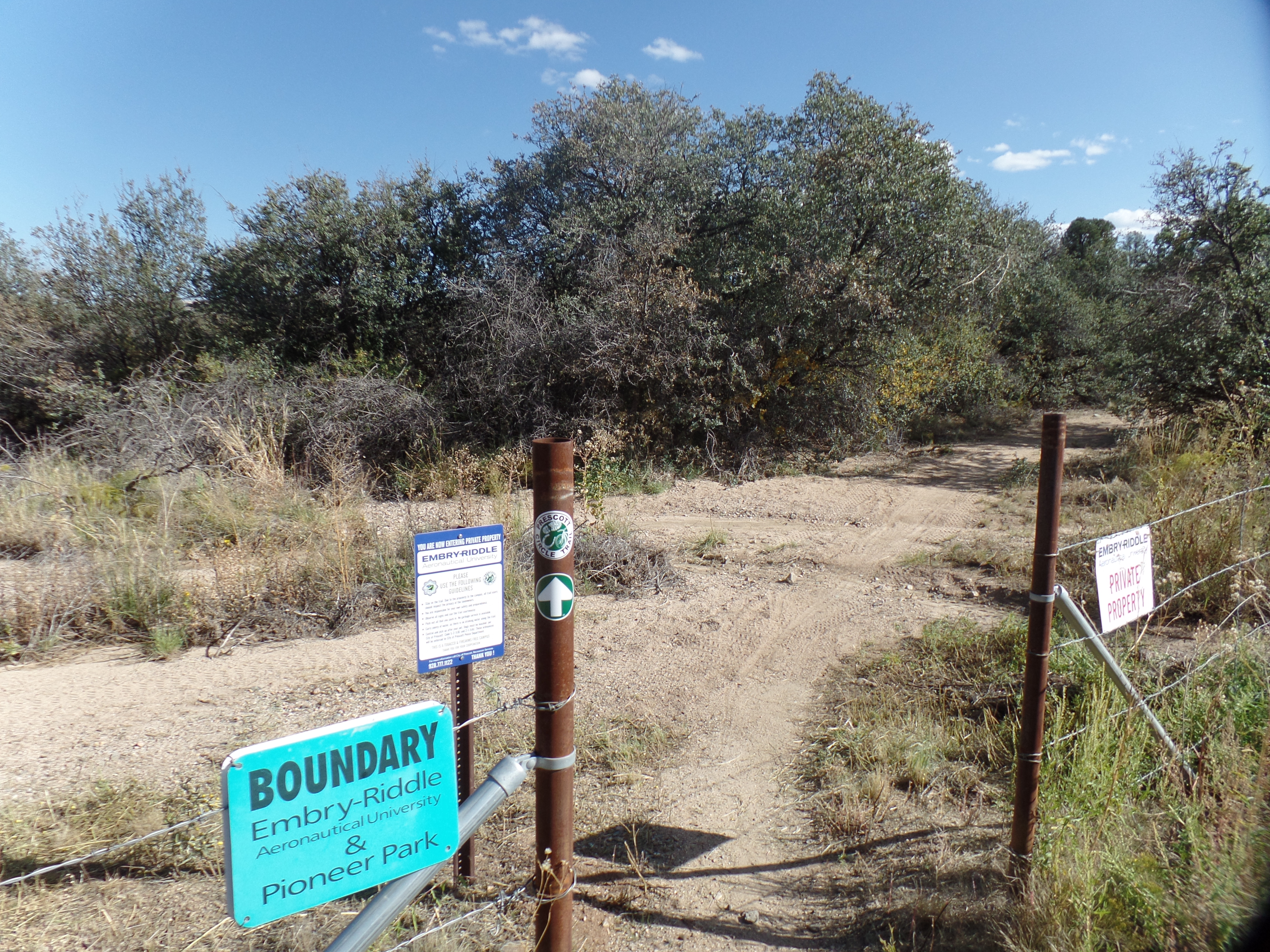
October 11, 2015, Prescott- The air was a bit warmer and drier today- 82, in mid-afternoon.  I had two gallons of water with me, so after tending to chores and visiting with friends, I headed out for the second installment of Prescott Circle.  This jaunt took me from Pioneer Park Ballfield, through a stretch of Gambel’s oak and juniper pine forest, on the campus of Embry-Riddle Aeronautical University, to Willow Lake, a man-made reservoir that is lined by cottonwood trees.  The lake area used to be the site of a Sinagua settlement, when Willow Creek was freely-flowing and there was plentiful game in the nearby Willow Dells, a western extension of the granite boulders that abound in northeast Prescott.

Now, one must go underneath the busy thoroughfare of Willow Creek Road, and cross two dirt fill yards, to get from the Embry-Riddle Preserve to the marshland that is drying up, south of Willow Lake.  I have hiked out to the lake shore, and had to walk logs, in order to hike the 1 1/2 mile round trip on Cottonwood Peninsula Spur Trail.  Today, the lake was a shadow of itself.  Hopefully, late Fall and Winter will bring a wet change.

Here are some views of the scenes I encountered, going all the way to the Willow Dells parking area., a distance of 8.8 miles, round trip.

SAMSUNG CAMERA PICTURES

SAMSUNG CAMERA PICTURES

SAMSUNG CAMERA PICTURES

SAMSUNG CAMERA PICTURES

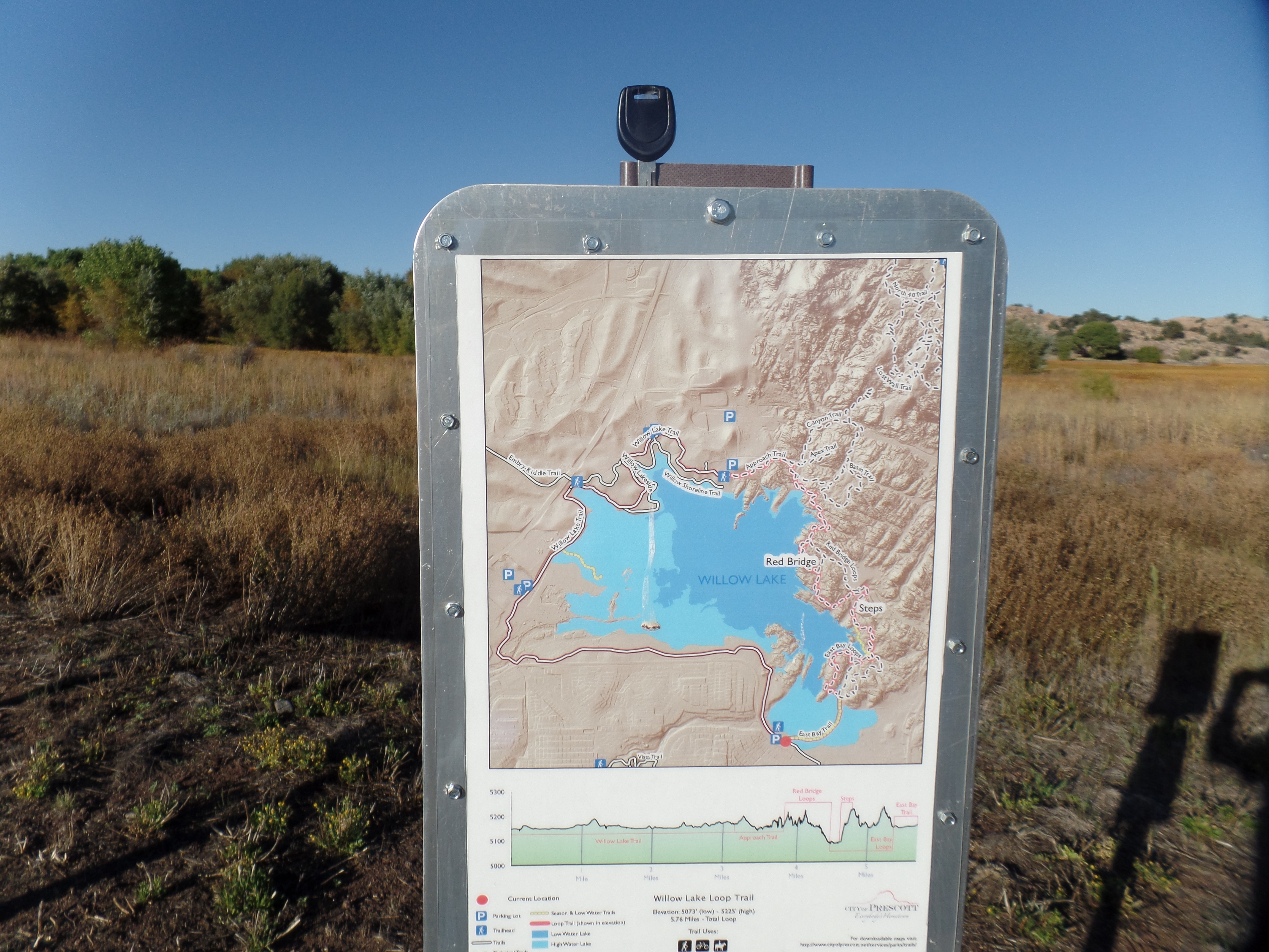
There are frequent maps, by which to chart one’s progress.  This one was at the turnaround point of my hike.

SAMSUNG CAMERA PICTURES

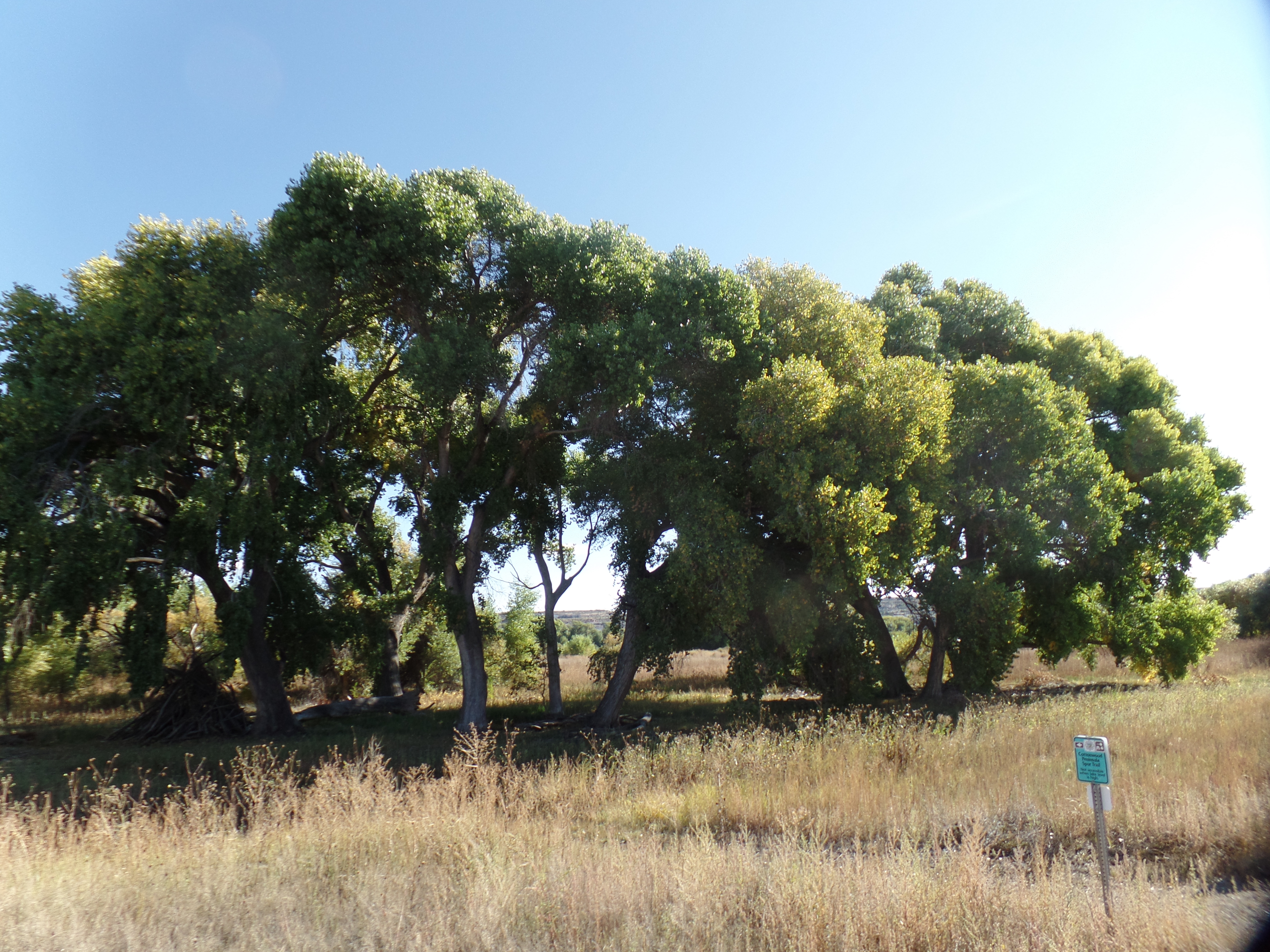
Here is the entrance to Cottonwood Peninsula Spur Trail.

SAMSUNG CAMERA PICTURES

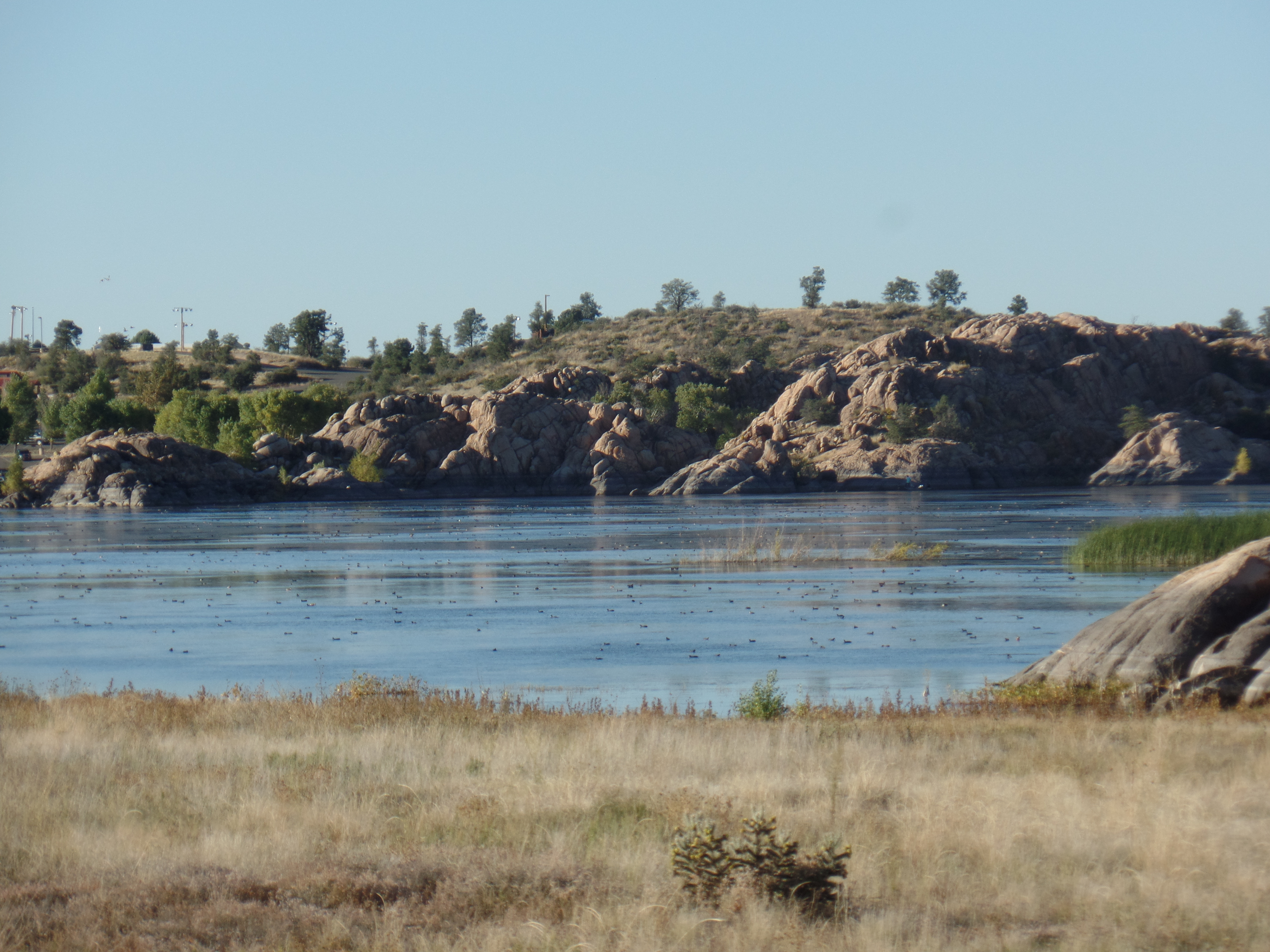
Here is a shallower Willow Lake, at the Dells.

The Road to 65, Mile 317: Prescott Circle, Segment 10.

5

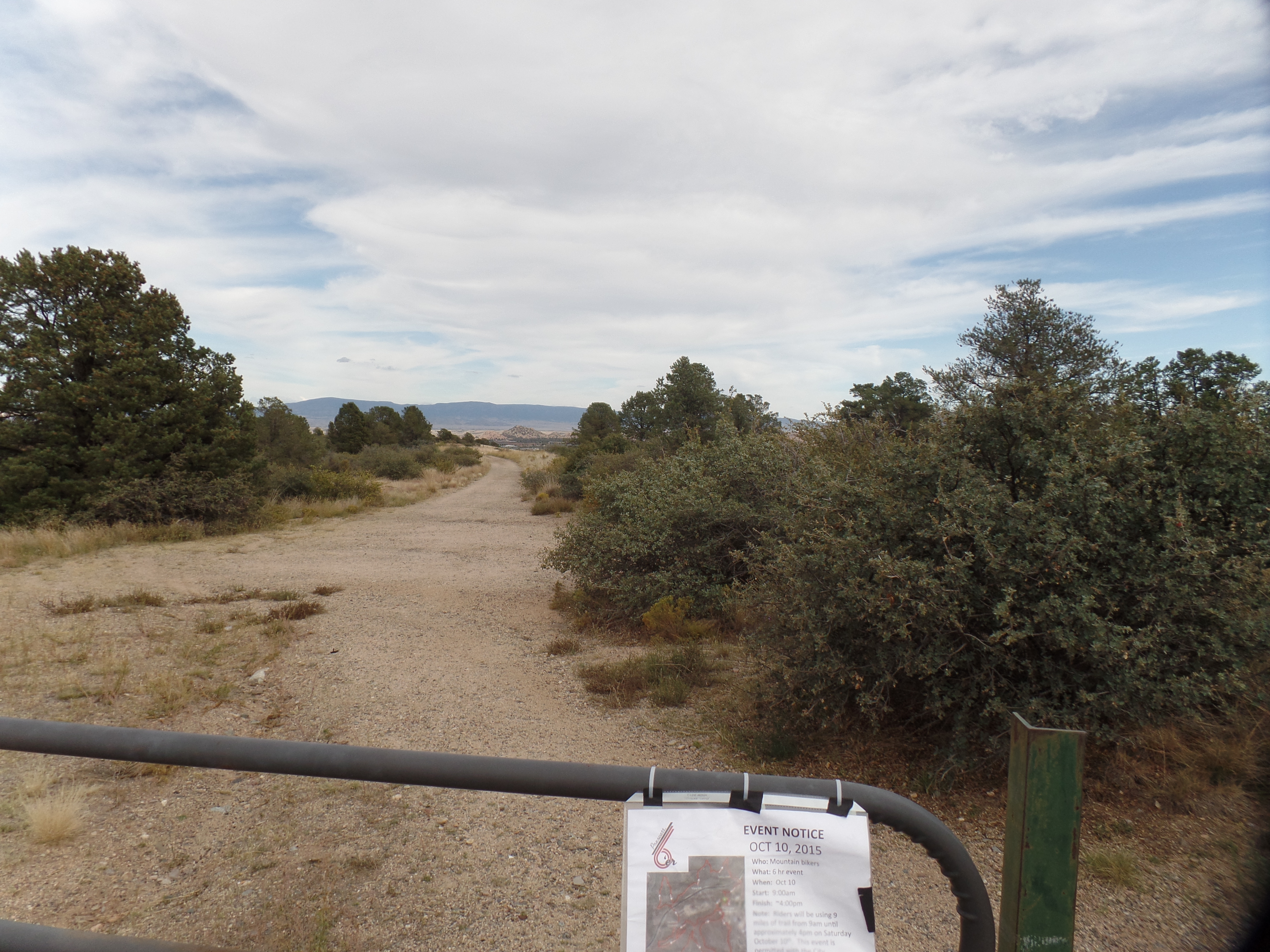
October 10, 2015, Prescott- I took three hours, this afternoon, to begin my series of hikes around Prescott Circle.  It is a 51-mile loop, that connects several of our area’s natural wonders.  As is my wont, I am doing the circuit in clockwise fashion.  So, I started with Segment 10, which takes in a very familiar stretch:  Pioneer Park.  This is a huge greenbelt in northeast Prescott, with a rim trail that looks down on a series of groves, comprised of juniper pine and scrub oak.  The park has 9 miles of hiking trails, in addition to Prescott Circle, which goes along the park’s northern edge, then dips down and passes through Pioneer’s ball field, before continuing on.

SAMSUNG CAMERA PICTURES

SAMSUNG CAMERA PICTURES

The surrounding mountain ranges, such as the Bradshaws, background left, are all visible from the rim trail.

I have hiked in this area several times, but looking at it as part of a whole gives Pioneer Park a fresher meaning.  The strength that comes from walking 9.6 miles round trip is an added benefit. Tomorrow, if my chores and acts of service are done, I will pursue the next segment, also in familiar areas:  The Embry-Riddle Forest Preserve and Willow Lake.

The Road to 65, Mile 313: Of Horses, Llamas and Bells

10

October 6, 2015, Sedona- After dealing with more computer work, regarding a legal matter, I headed out for a day’s respite, stopping first at Mortimer Family Farm, in Dewey.  The Fall is in full swing at this exhilarating place.  As you can see, the pumpkins,alone, will delight dozens of school children this season.

SAMSUNG CAMERA PICTURES

SAMSUNG CAMERA PICTURES

My other purpose was to pick up one of their delectable sandwiches, along with a piece of Pumpkin Pie Fudge and a mocha espresso, for a roadside picnic.  This ended up taking place at Crucifixion Point, a Forest Service Day-Use area, which was closed and locked.  Nothing prevented me from parking outside the gate and enjoying a pleasant meal, though.

Then, it was off to Sedona.  I stopped at the community college branch and inquired as to the road to Honanki, a Pueblo ruin on the West Side of town.  I was told that I was not to go in there unless riding in a commercial jeep.  I know this is a bunch of hooey, and figure the staff member must have some interest in the jeep outfit.  Rather than waste time, I headed to a tried and true hiking path: Little Horse Trail and Llama Trail.  Little Horse, which I last hiked three years ago, heads to Chicken Point (seen below) and Submarine Rock.

SAMSUNG CAMERA PICTURES

It also connects with a trail to the Chapel in the Red Rocks.

SAMSUNG CAMERA PICTURES

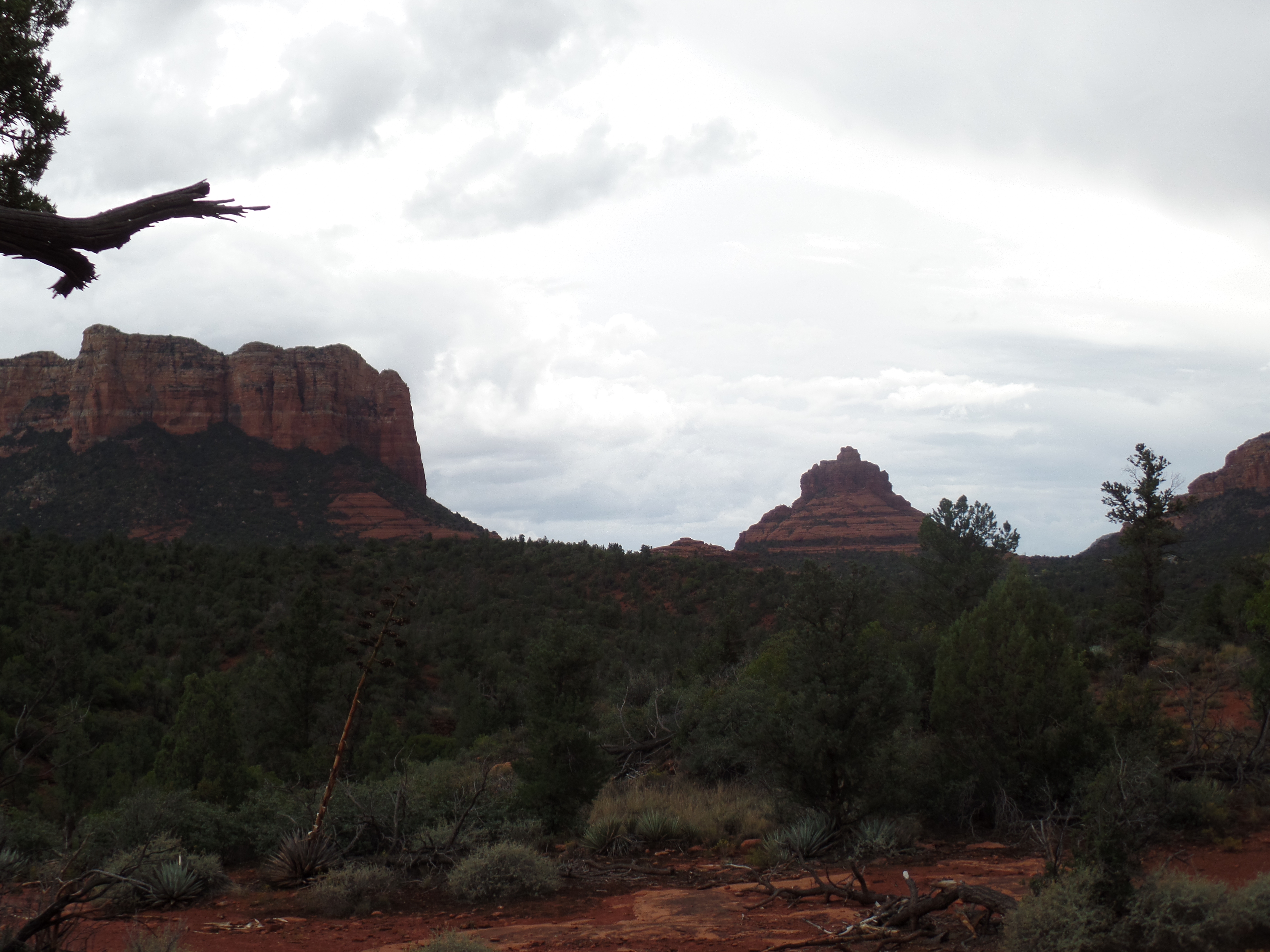
About 2/3 of the way to Chicken Point, I veered off Little Horse, and took Llama Trail.  This brings the hiker back around to the south, towards Courthhouse Butte and Bell Rock.  At one point, Llama Trail has one in a place that is equidistant from Cathedral Rock (west), Madonna and the Nuns (north), Courthouse Butte (east) and Bell Rock (south).  I chose that area to pray, take a drink from my water bottle and write reminiscences of my July trip to California.  Sedona has several vortices, and this felt like one of them.

While I was praying, I was greeted by some local residents.

SAMSUNG CAMERA PICTURES

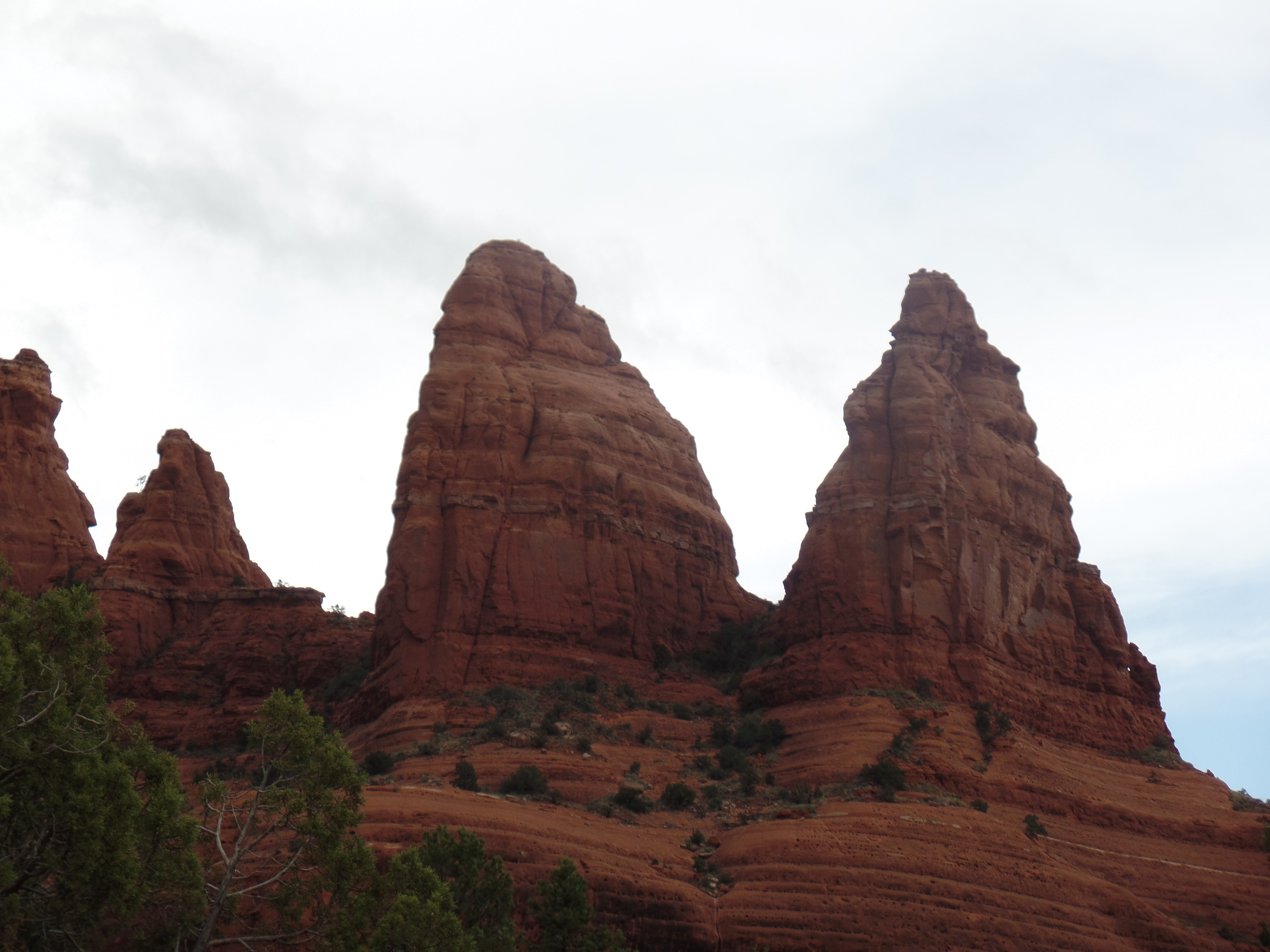
Here are two shots of  Madonna and The Nuns.

SAMSUNG CAMERA PICTURES

SAMSUNG CAMERA PICTURES

Courthouse Butte is not to be outdone.

SAMSUNG CAMERA PICTURES

Nor are Bell Rock,

SAMSUNG CAMERA PICTURES

or Cathedral Rock.

SAMSUNG CAMERA PICTURES

Llama Trail ends at Courthouse Vista, about 1 1/2 miles south of where my car was.  So, in the interests of not being caught up in an approaching thunderstorm or out after dark, I took Bail Trail, a 1/4 mile connector, to Bell Rock Path, then back to Little Horse and my way home.

As it happened, I drove through the rain easily, and got home in time for another fine Arizona scene.

SAMSUNG CAMERA PICTURES

The Road to 65, Mile 305: Gran Forno

5

September 28, 2015, Prescott- One of my outwardly less successful endeavours, over the years, was my principalship at Chilchinbeto Community School, between Chinle and Kayenta, on the Navajo Nation, in northeast Arizona.  It was, in more ways than one, a matter of being in the wrong place at the wrong time.

One of the silver linings, in that dark academic year, 1998-99, was the presence of Youth Empowerment Services, and Tom Riggenbach, who was my second-in-command.  YES, led by Tom, has empowered the youth of the Navajo Nation, for nearly twenty years.  Their Chuska Challenge, a bicycle marathon, through some of the Nation’s wildest and most beautiful country, has brought people from the world over into contact with local youth, in a far more up-close manner than is provided by jeep tours through Monument Valley, or the purchase of a rug at Hubbell Trading Post.  The Dineh’s traditional love of running has also been rekindled, through efforts such as this.

Tom refers to the enterprise variously as Tour de Rez and Gran Forno (an Italian term for the type of bicycle marathon, typified by Tour de France.  The Chuska Range is not for the faint of heart, and Tom has never been in that category.  We didn’t always see eye-to-eye, in the tumultuous aforementioned year, but I always commanded his respect, and he, mine.  He has given a tremendous amount of his energy and drive to the betterment of thousands of Native American youth, and so it continues.

To the extent that I was able to encourage YES, and see the program expand throughout the Four Corners region, my time in Chilchinbeto was not misspent. I look forward to seeing many more years of Gran Forno in the Chuska.

The Road to 65, Mile 298: Equinox and Equity

4

September 21, 2015, Granite Dells-  I spent the evening of the Autumnal Equinox, observing the International Day of Peace, with a host of kindred spirits, enjoying the music of a local artist, Celia, and of our host, Johnny Light.

Heaven on Earth, where I find myself fairly frequently these days, is the home of John and his beloved, Happy Oasis, whose poetry is another draw to the blessed Dells- one of three “Rainforest”-type environments I have found in Arizona.  Johnny built the place himself, from the ground up, after their earlier home was leveled by a forest fire, little more than a year ago.

Celia was moved to thus dedicate a song to the victims of northern California’s ongoing wildfires, arguably the worst natural disaster we have had in this country, since Hurricane Katrina.  Over 23,000 people have now been displaced, with many living in tent cities.  Her song was simple:  “Rain”, chanted over and over, for about five minutes, with a Chilean rain stick furnishing the percussion.

John and Celia are each in superbly equitable relationships.  Many others in the assemblage, this evening, are in that situation, as well.  I enjoyed equity, in my marriage, and know that it is hard work.  It is also the most satisfying effort there is.  Yet, perhaps, Celia’s song, “Everyday Goddess”, puts the whole matter of gender and roles into perspective:  “It’s no big deal”.  If we just be, and not cast ourselves into untenable roles, then it seems that true equity will come about, as a matter of course.

I arrive at an exquisite realization, every time I set foot in Heaven on Earth.