Black Canyon National Recreation Trail, Part 2: Old Sycamore Sector

4

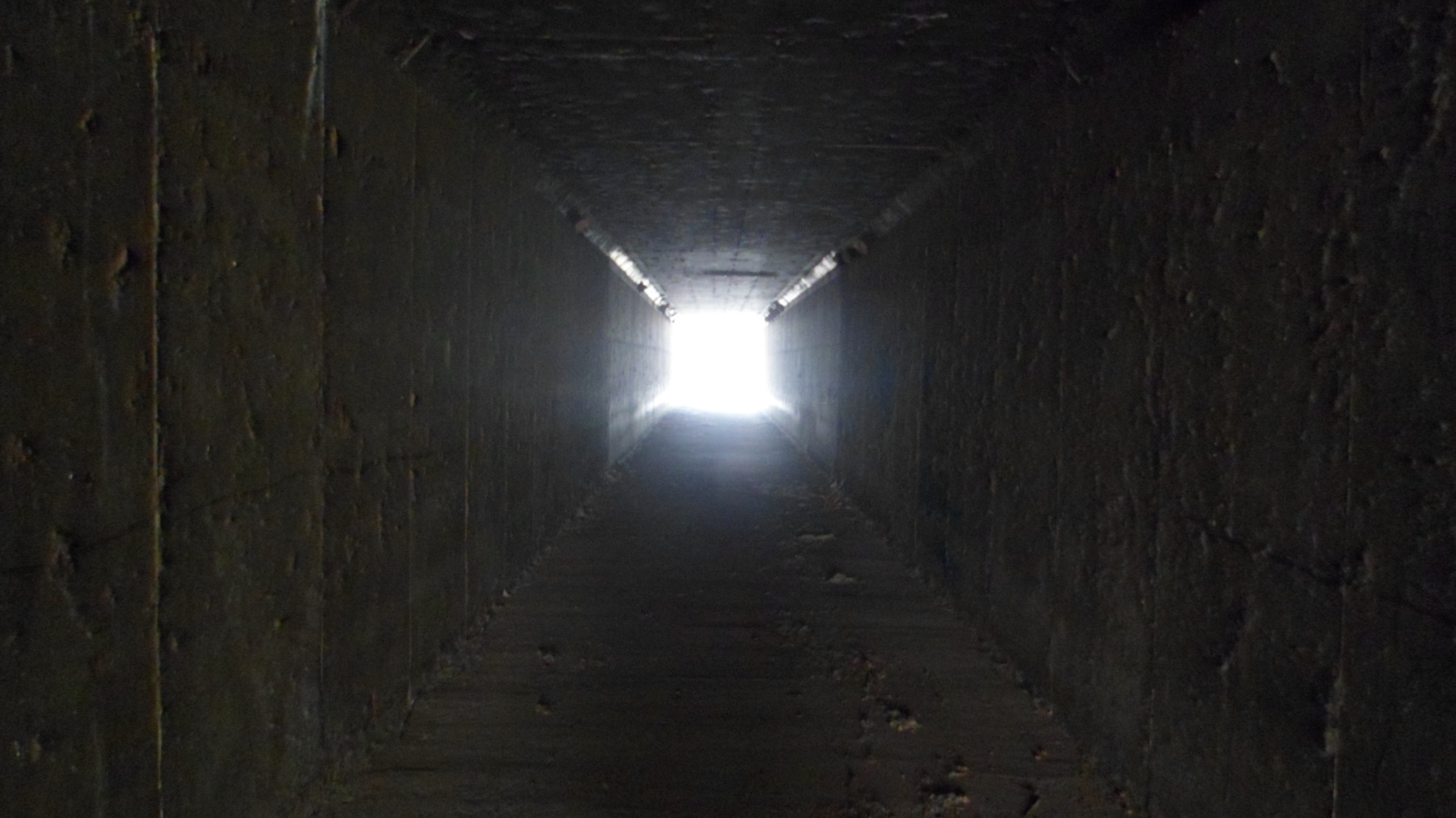
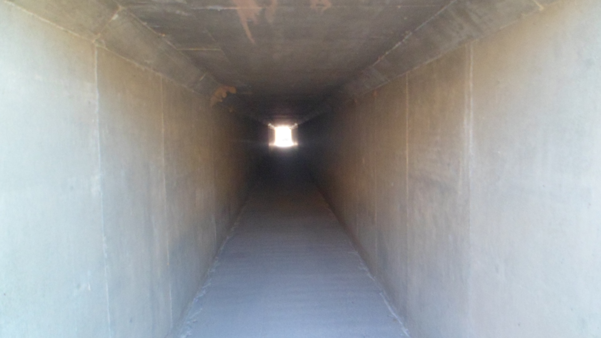
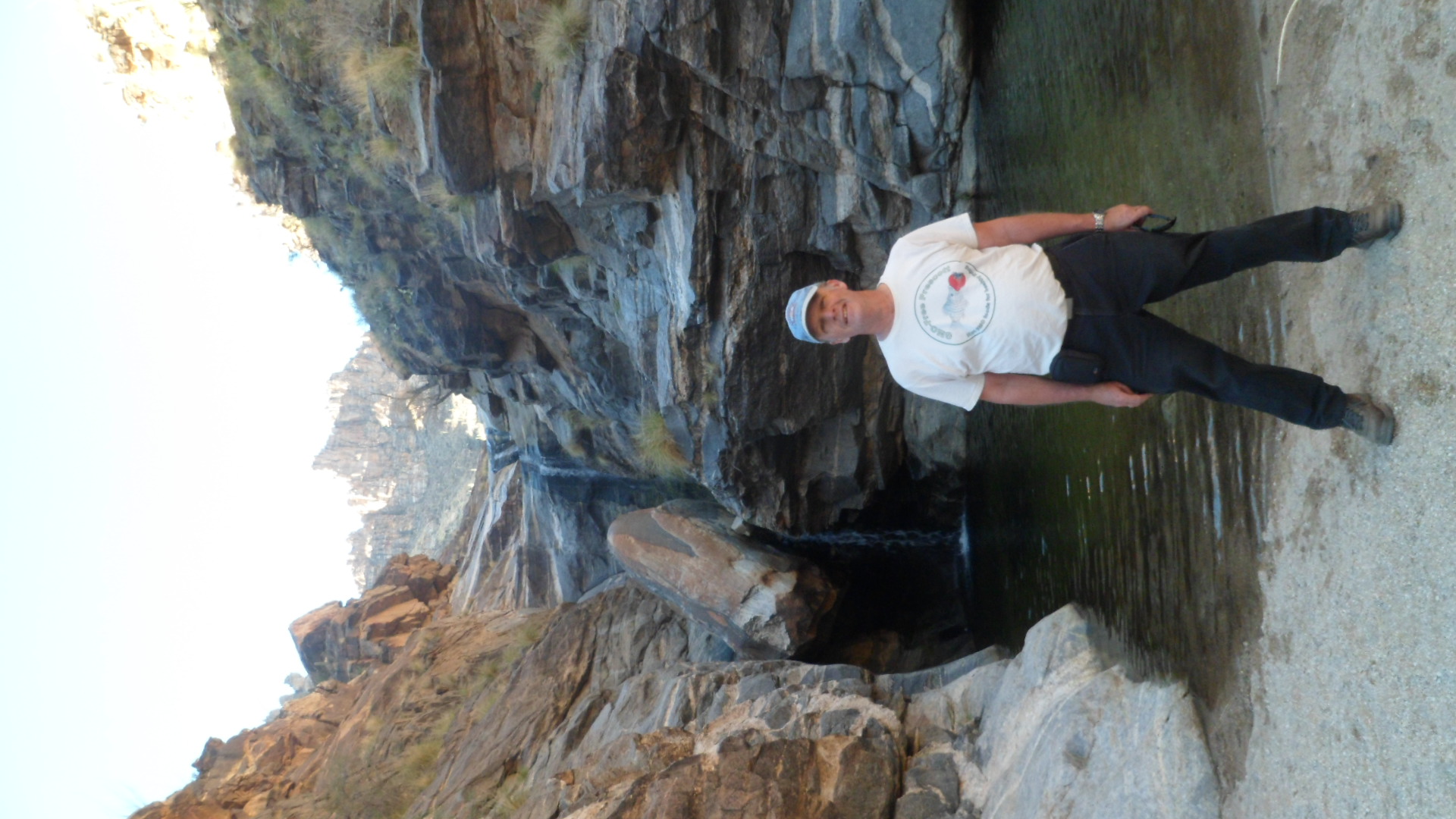
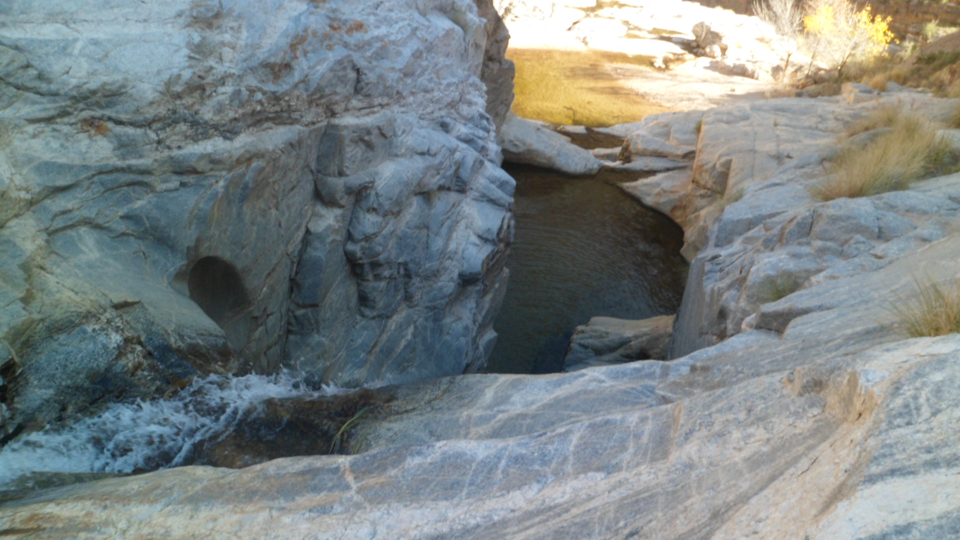
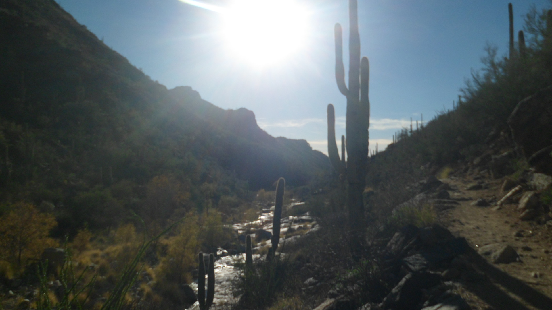
As the day started bright and sunny, after yesterday’s intermittent rain, I heard the call of the trail loud and clear.  So, after a brief visit to the Winter Farmer’s Market, I headed to Mayer, and the northernmost segment of Black Canyon Trail.  Old Sycamore Sector stretches from just north of the culvert that goes under AZ Rte. 69, past Old Sycamore Road, to a series of rises and buttes some 3 1/2 miles to the north and east.

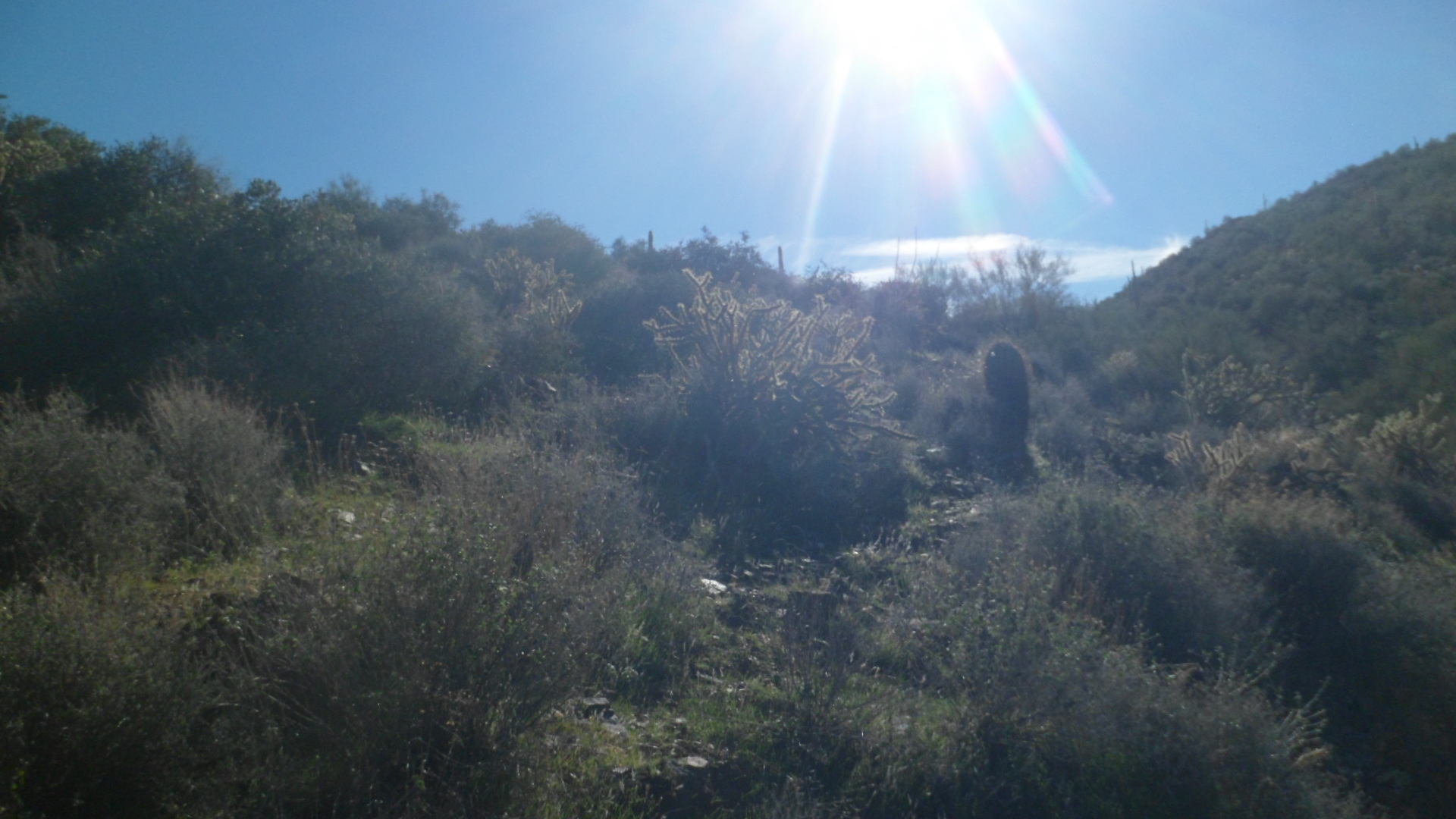
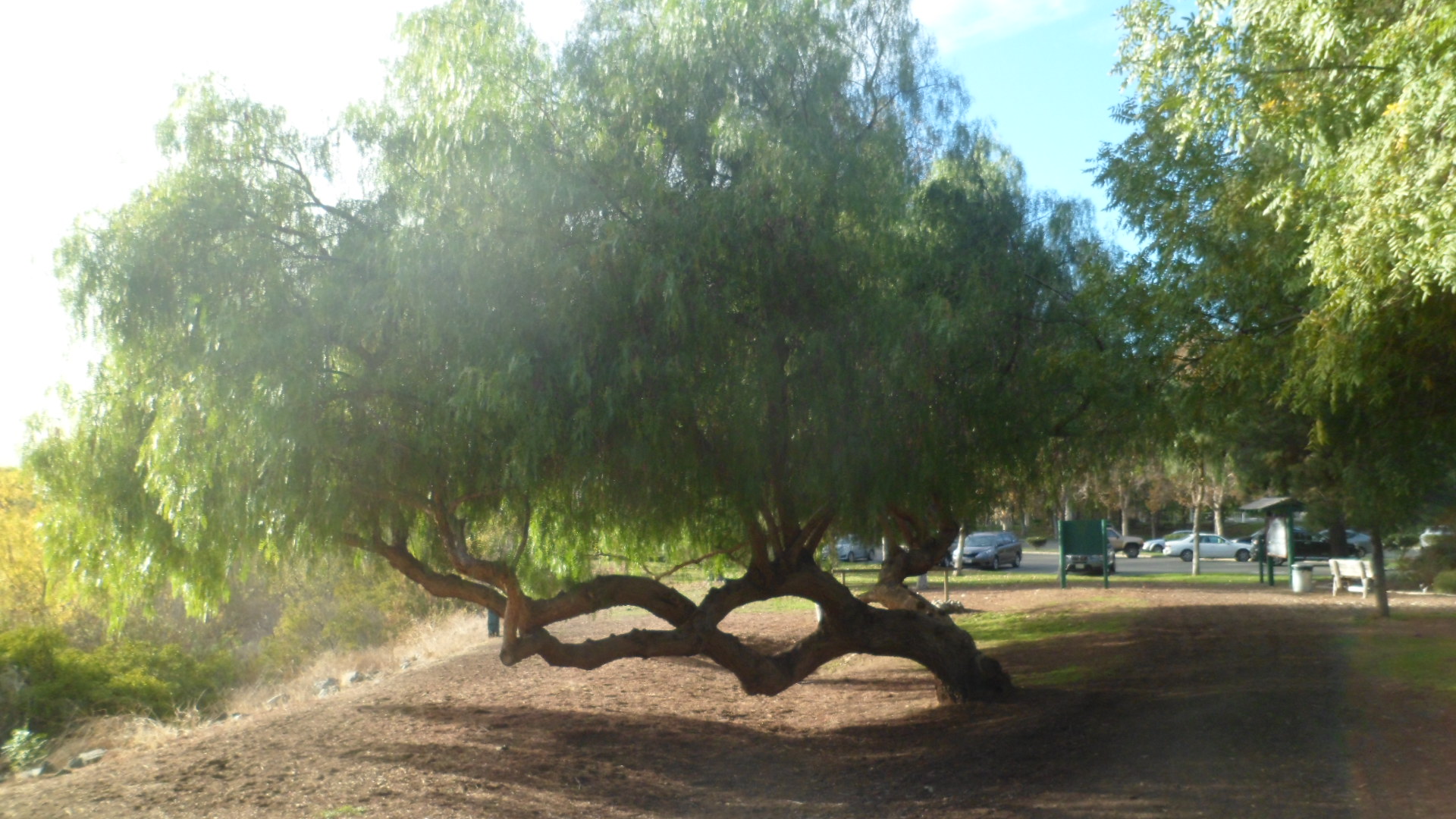
The first part of the trail heads up to old Sycamore Road, from Big Bug Wash, a distance of a half mile.

SAM_7964

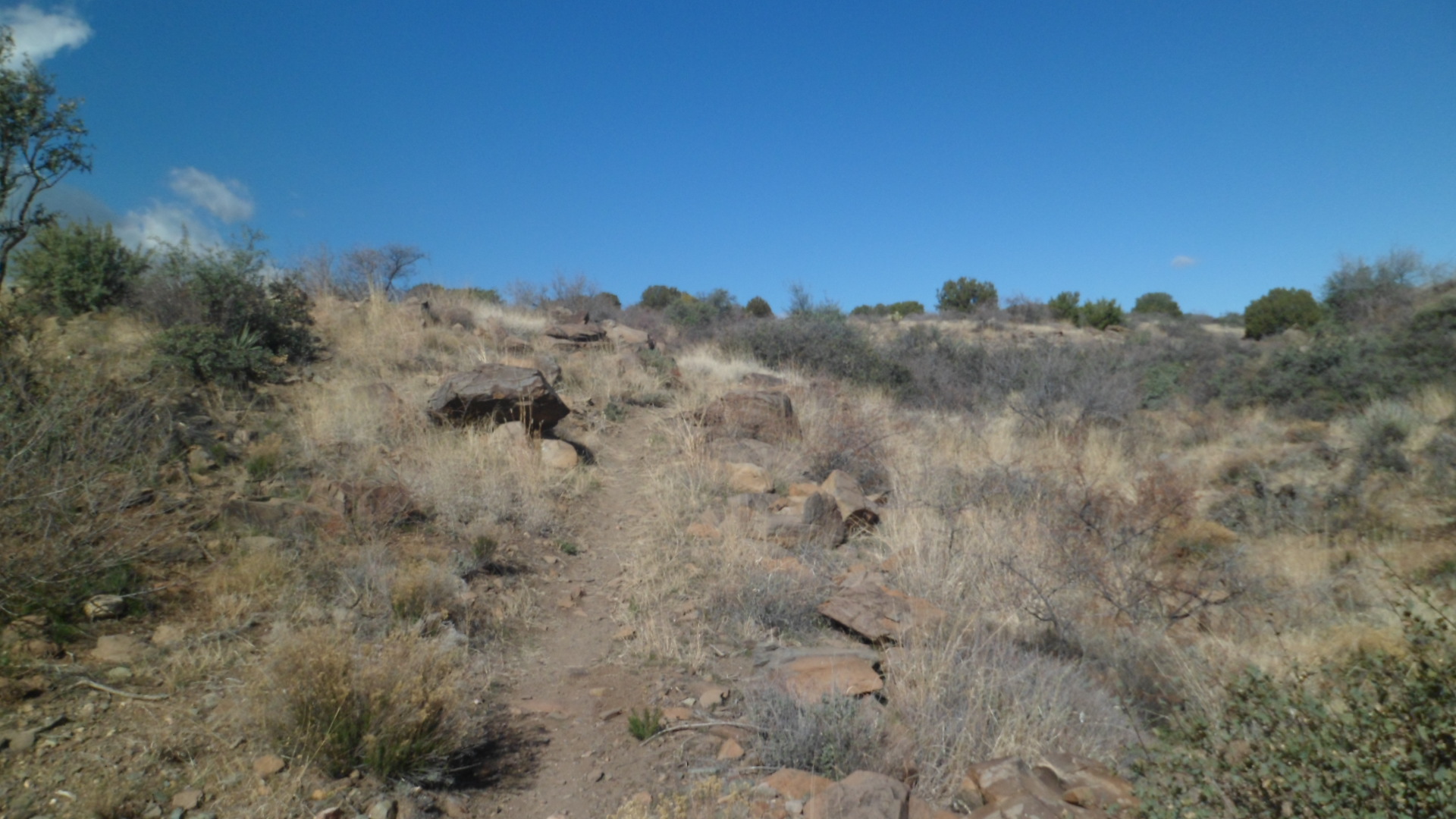
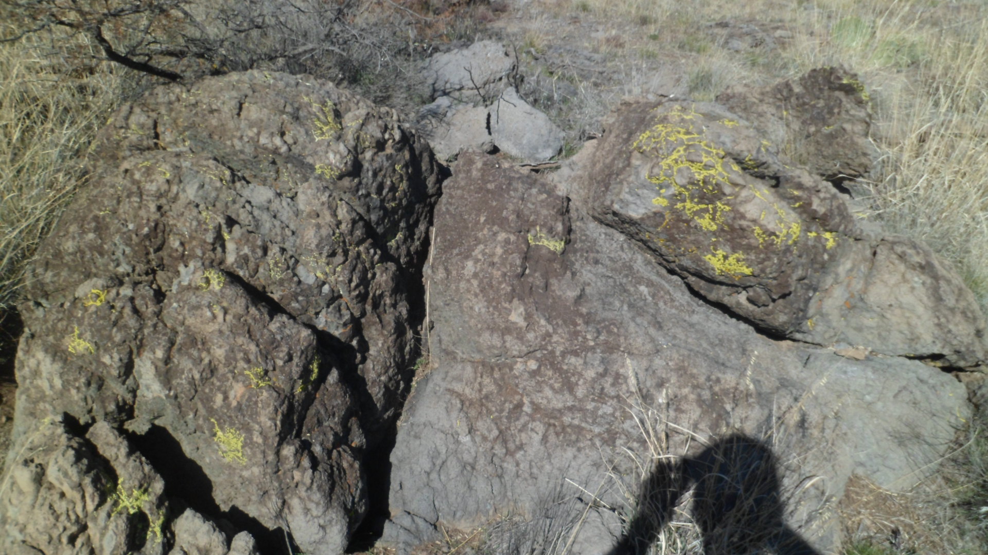
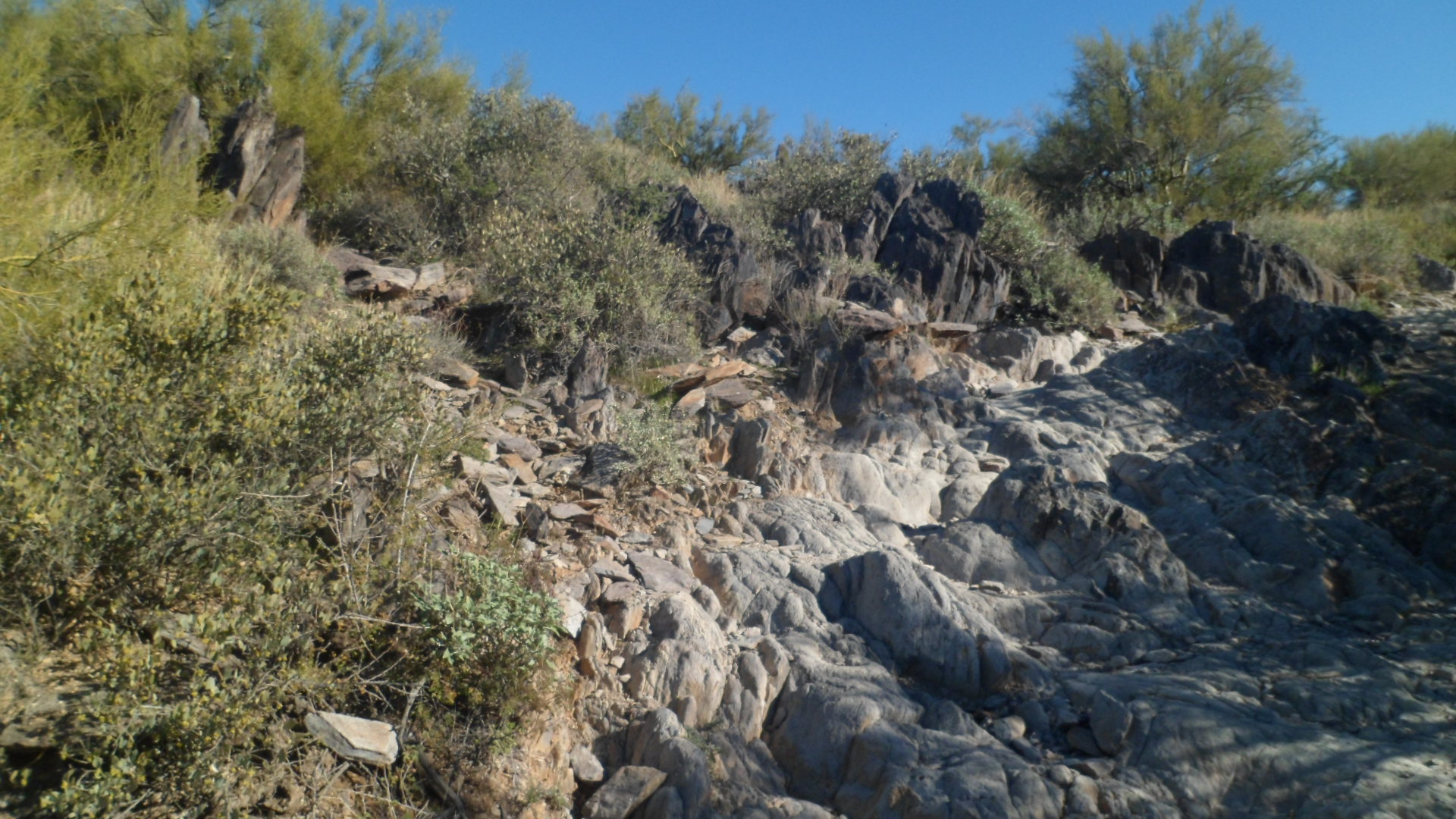
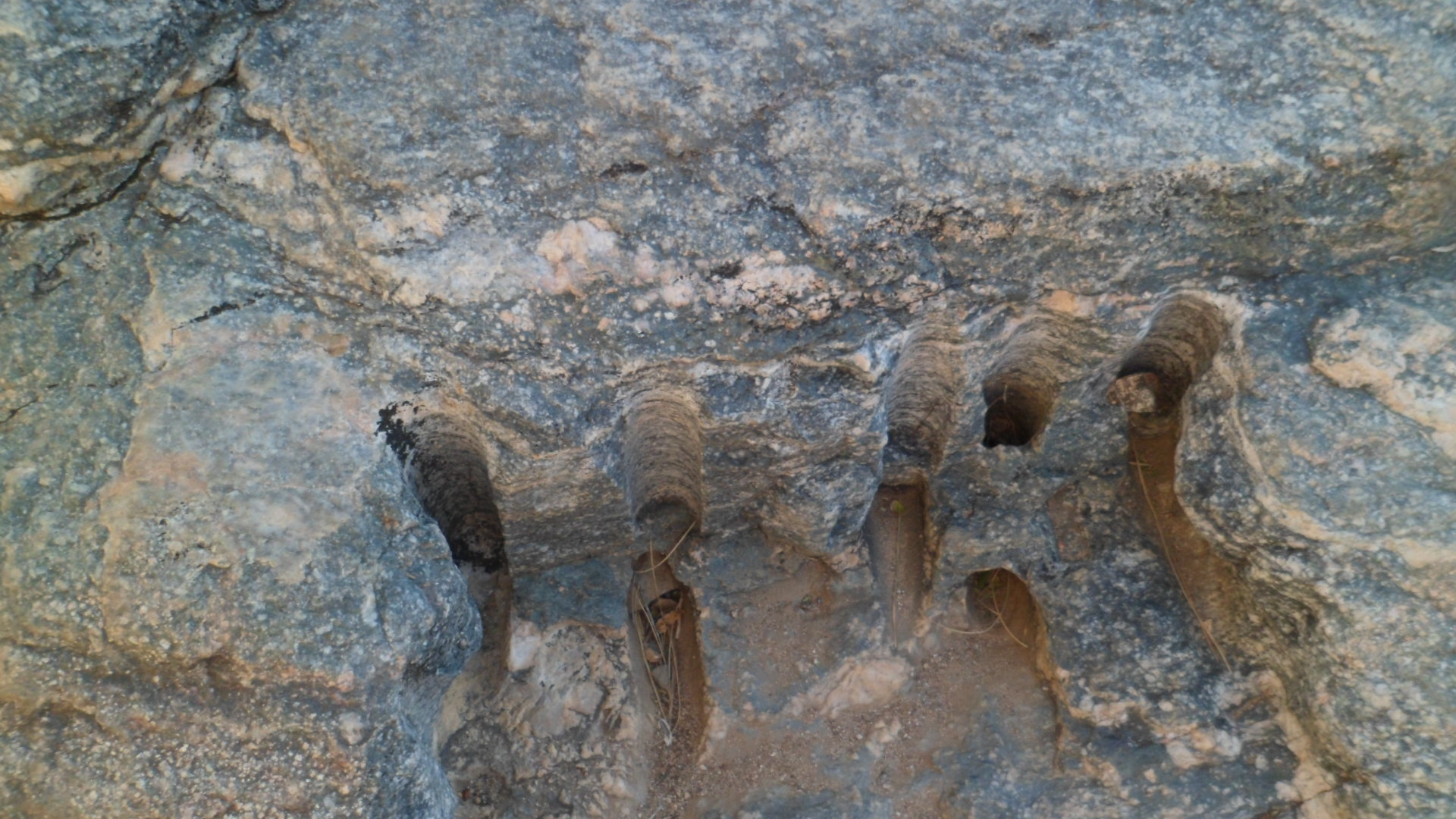
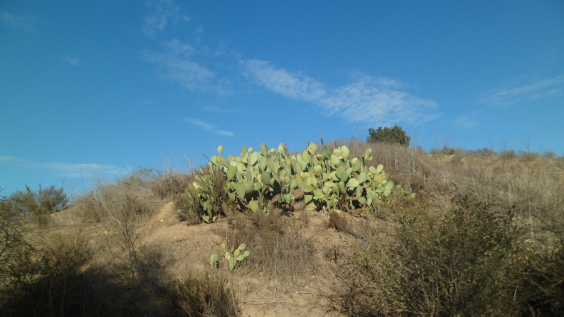
As with the lower elevated areas of Big Bug, the native lichen is a yellow sort.

SAM_7965

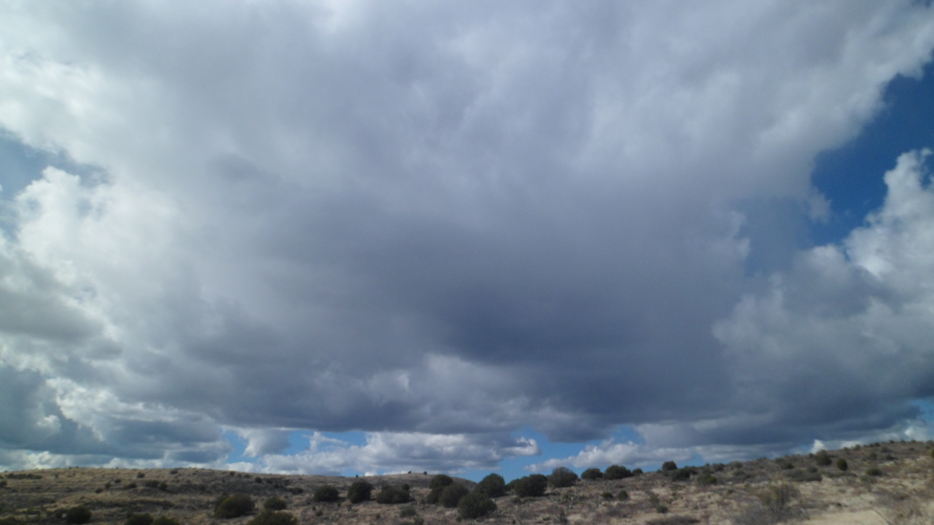
The weather looked to be a bit challenging, but that doesn’t stop a true Westerner from going forth.

SAM_7966

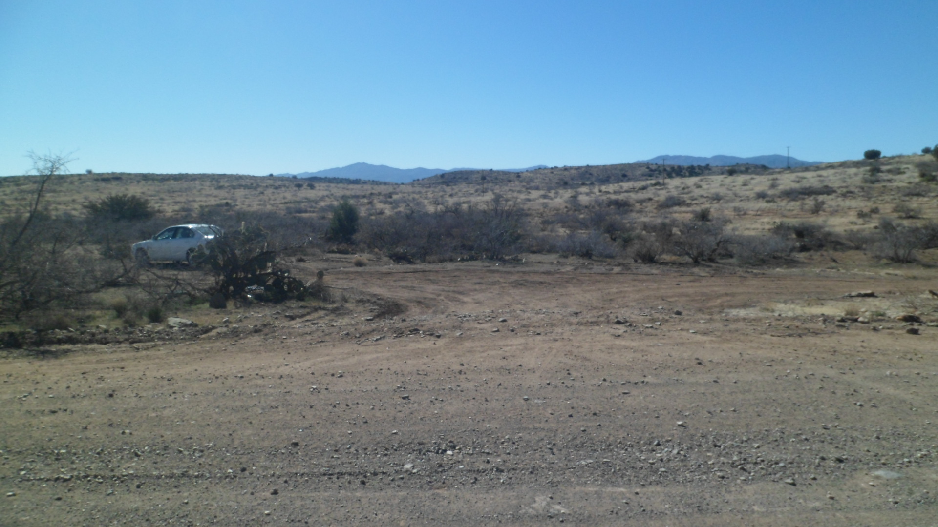
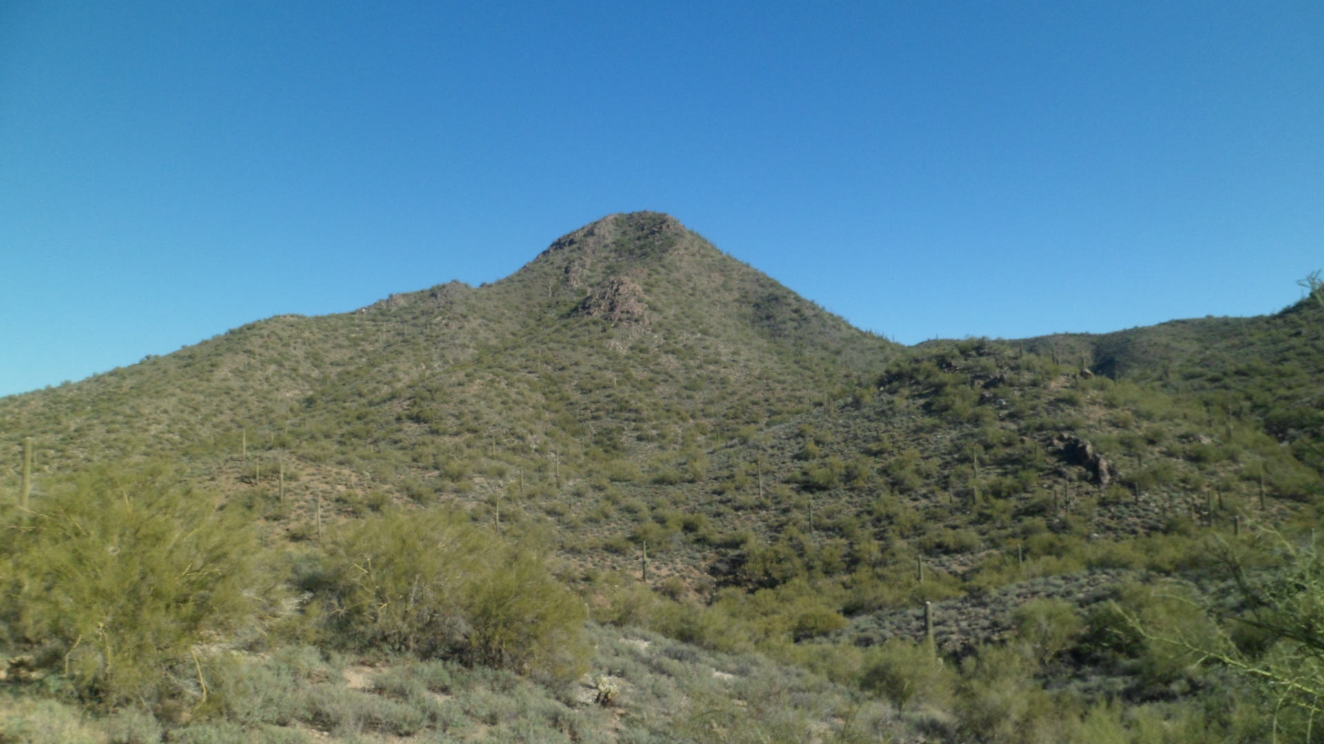
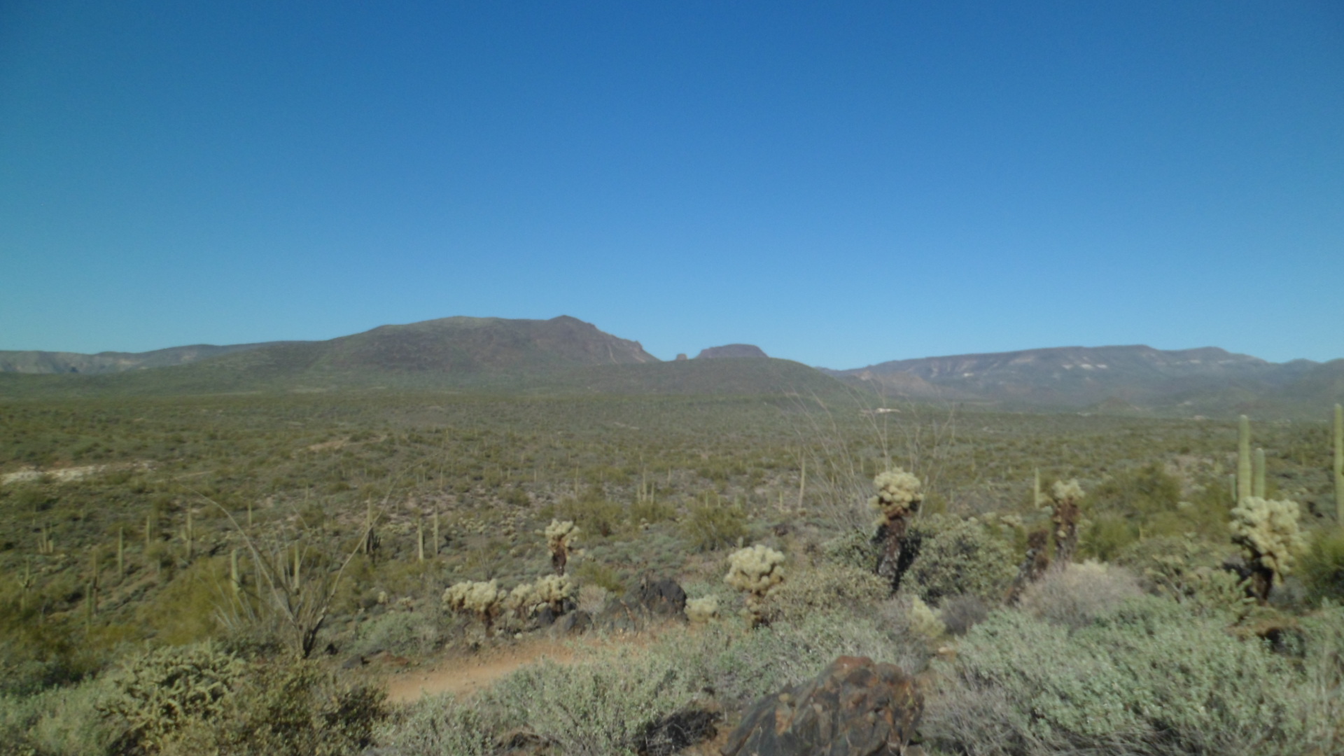
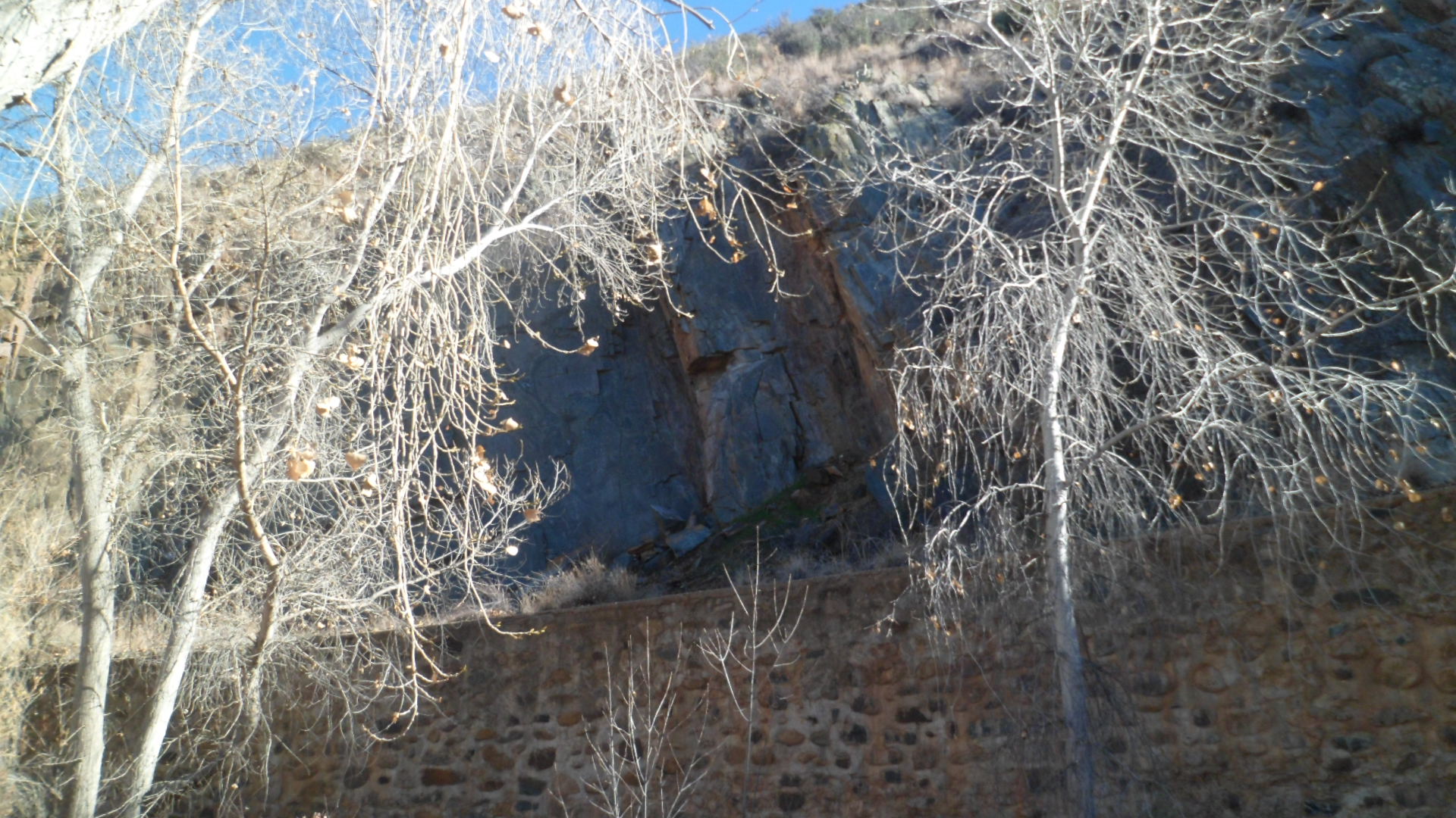
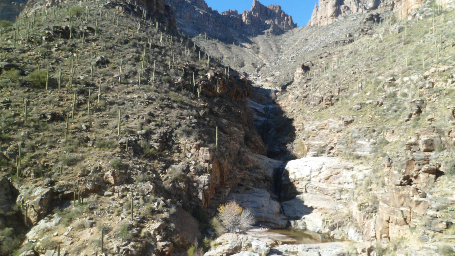
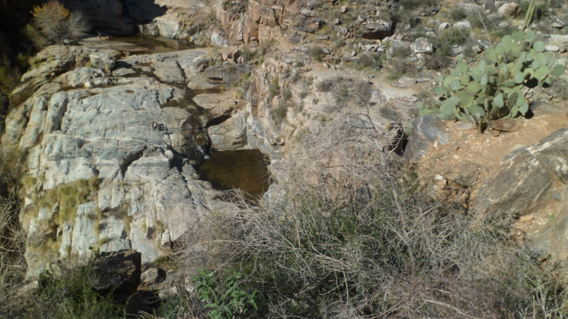
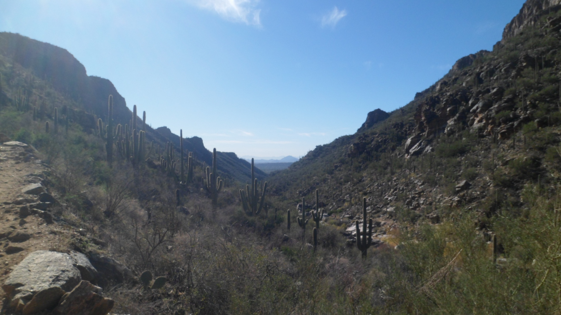
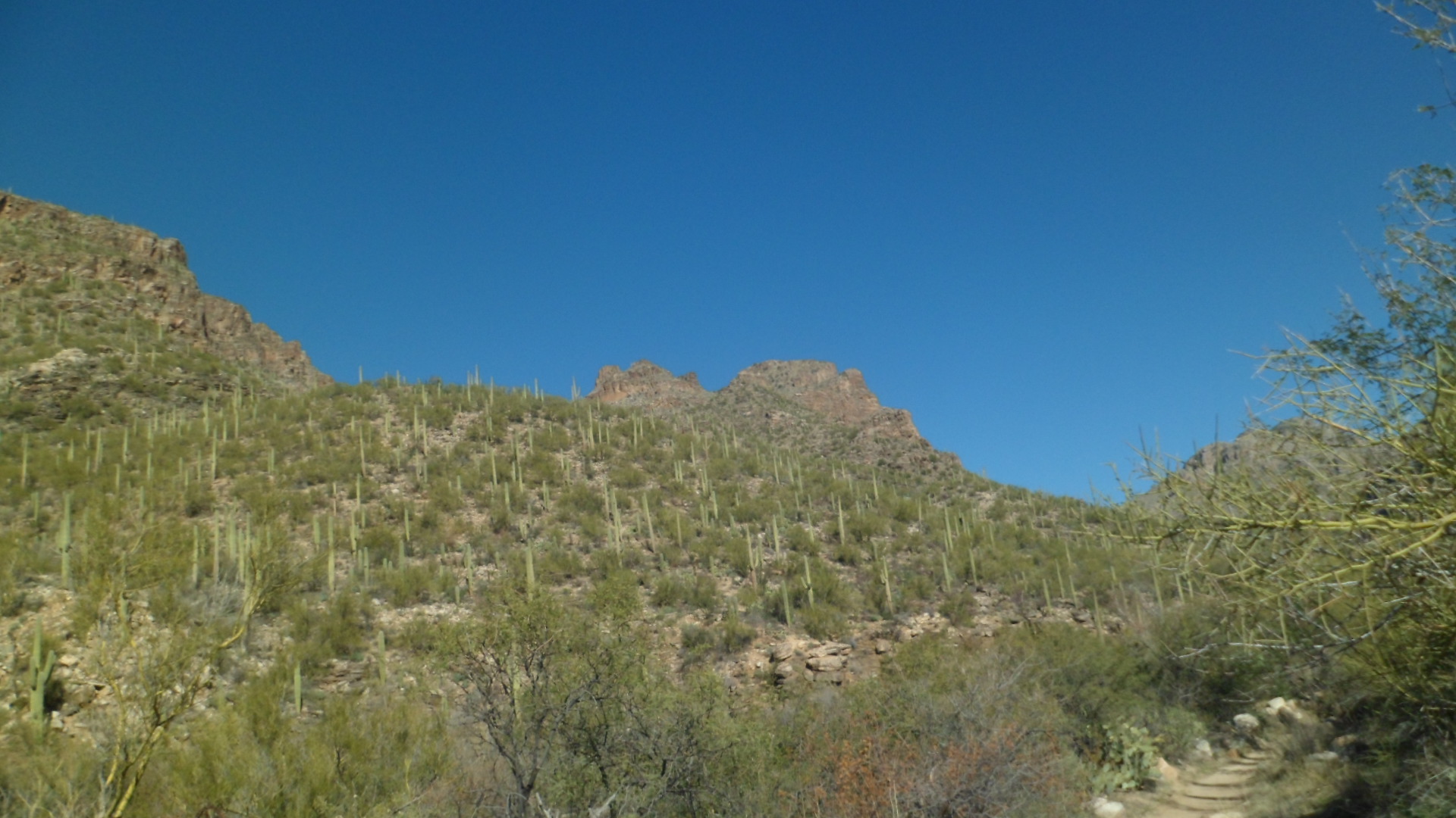
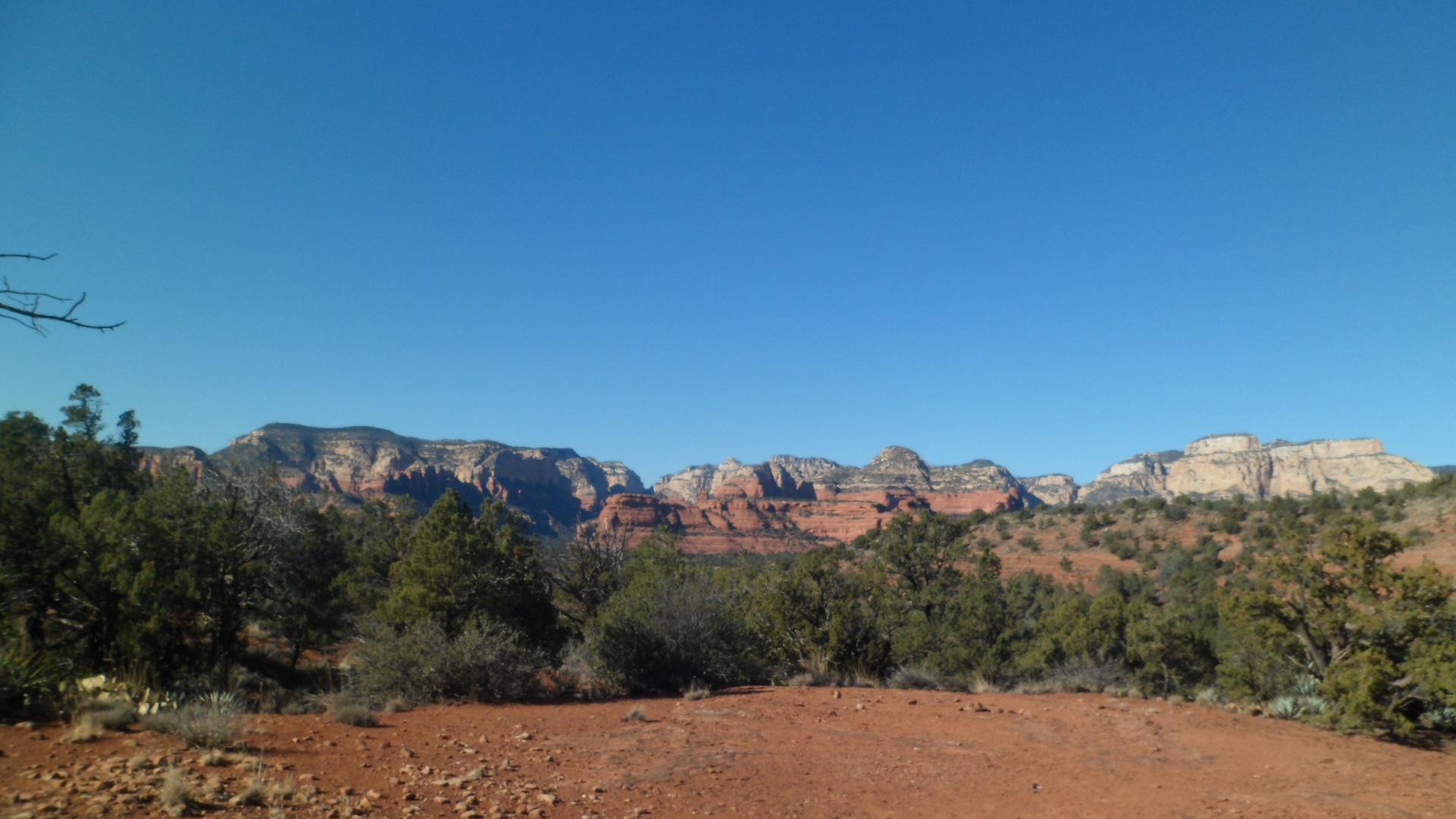
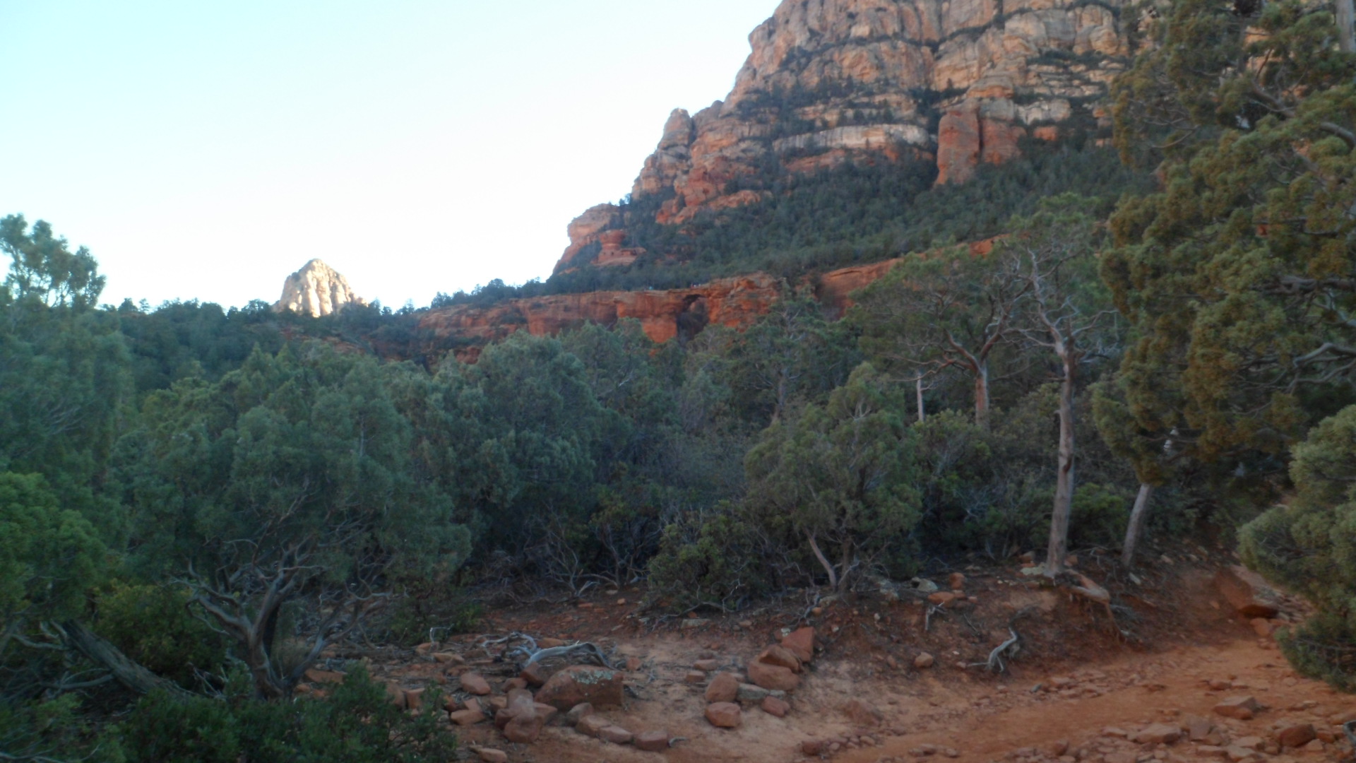
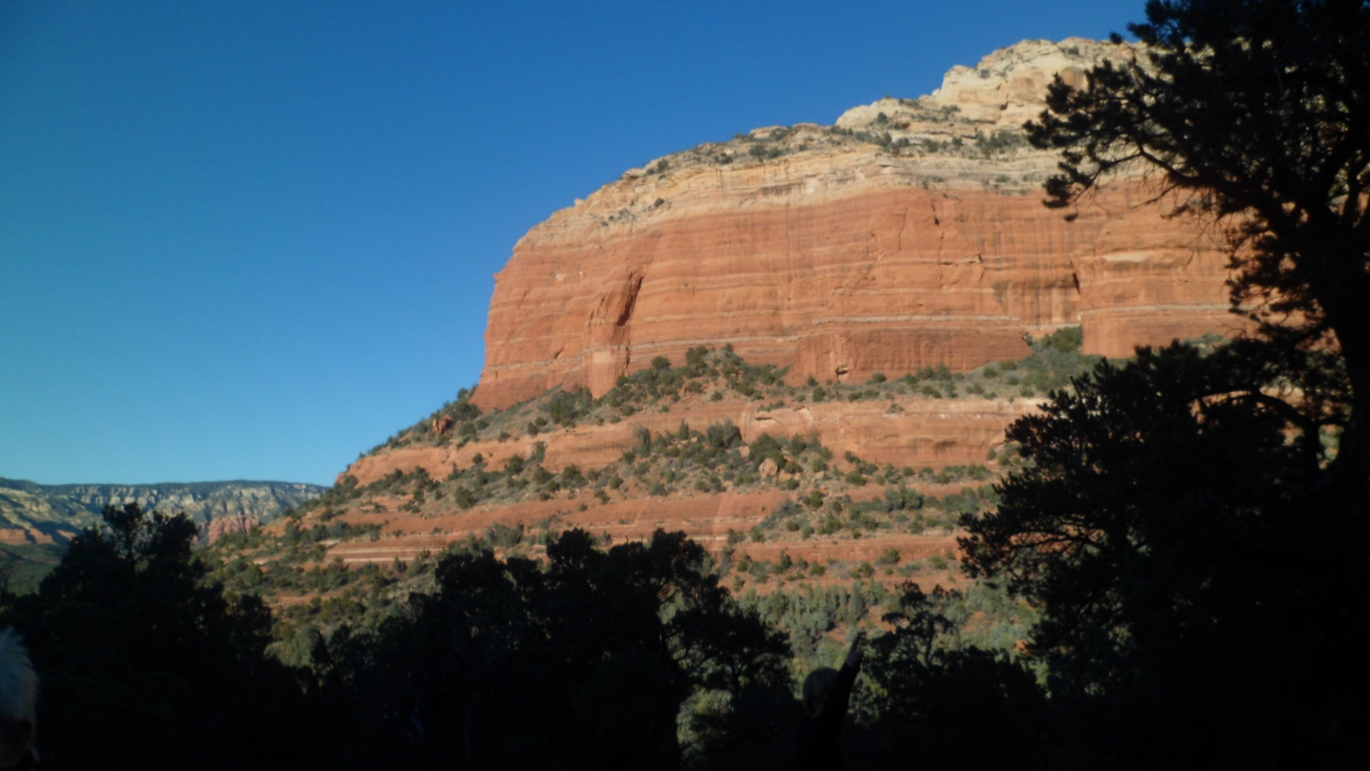
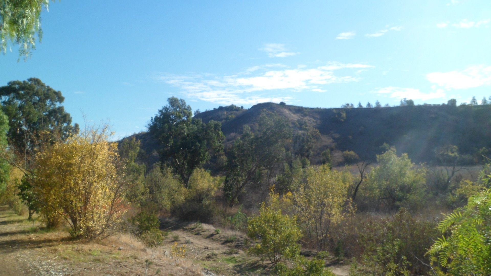
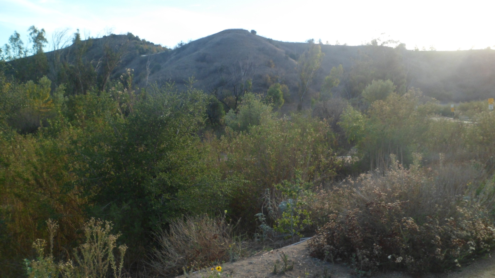
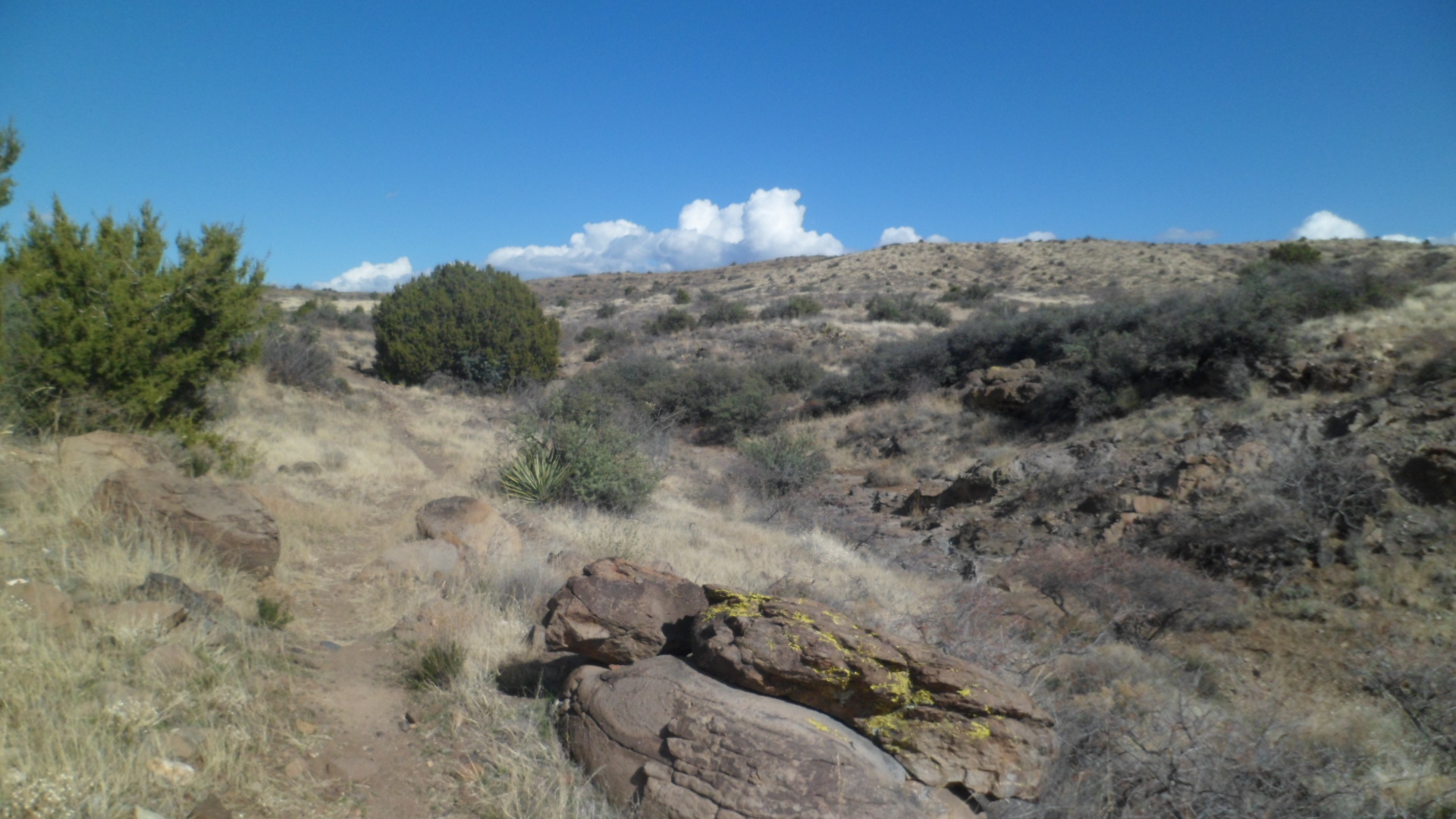
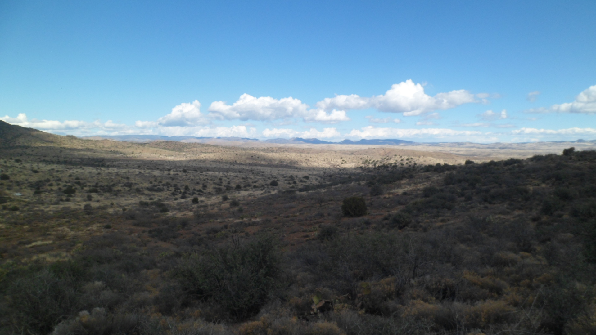
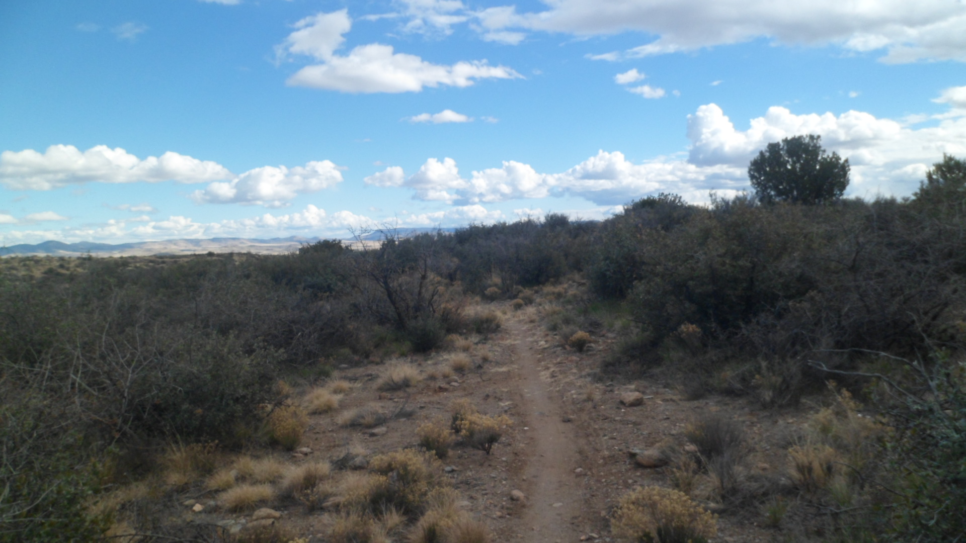
Here, one may see the far range of the Old Sycamore area.

SAM_7969

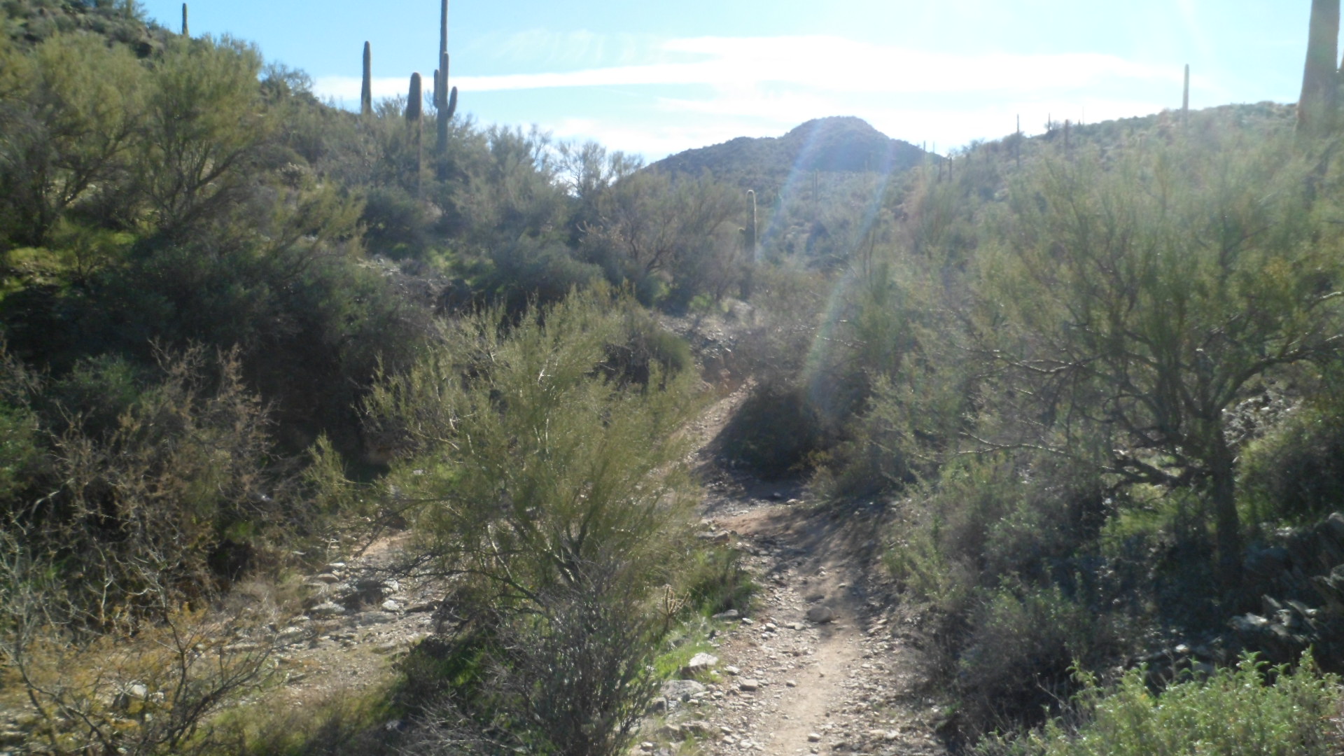
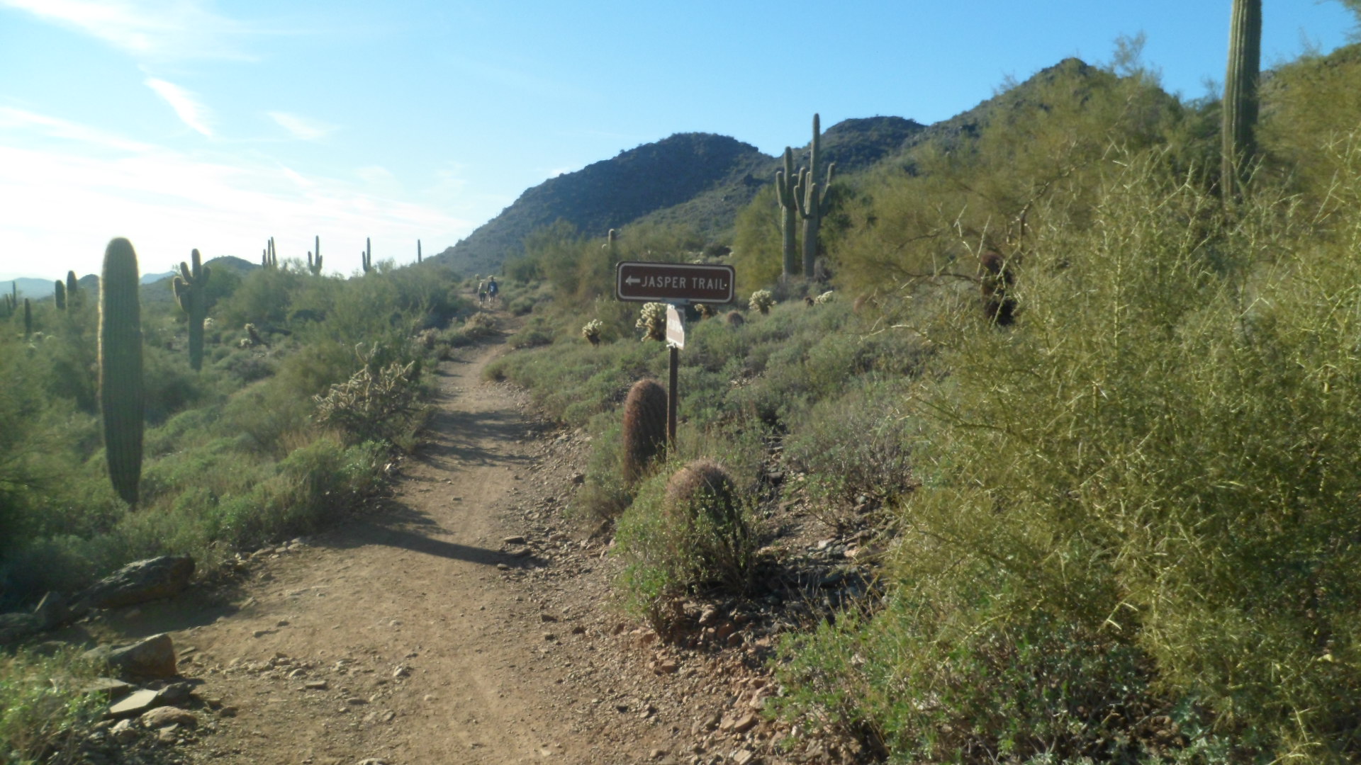
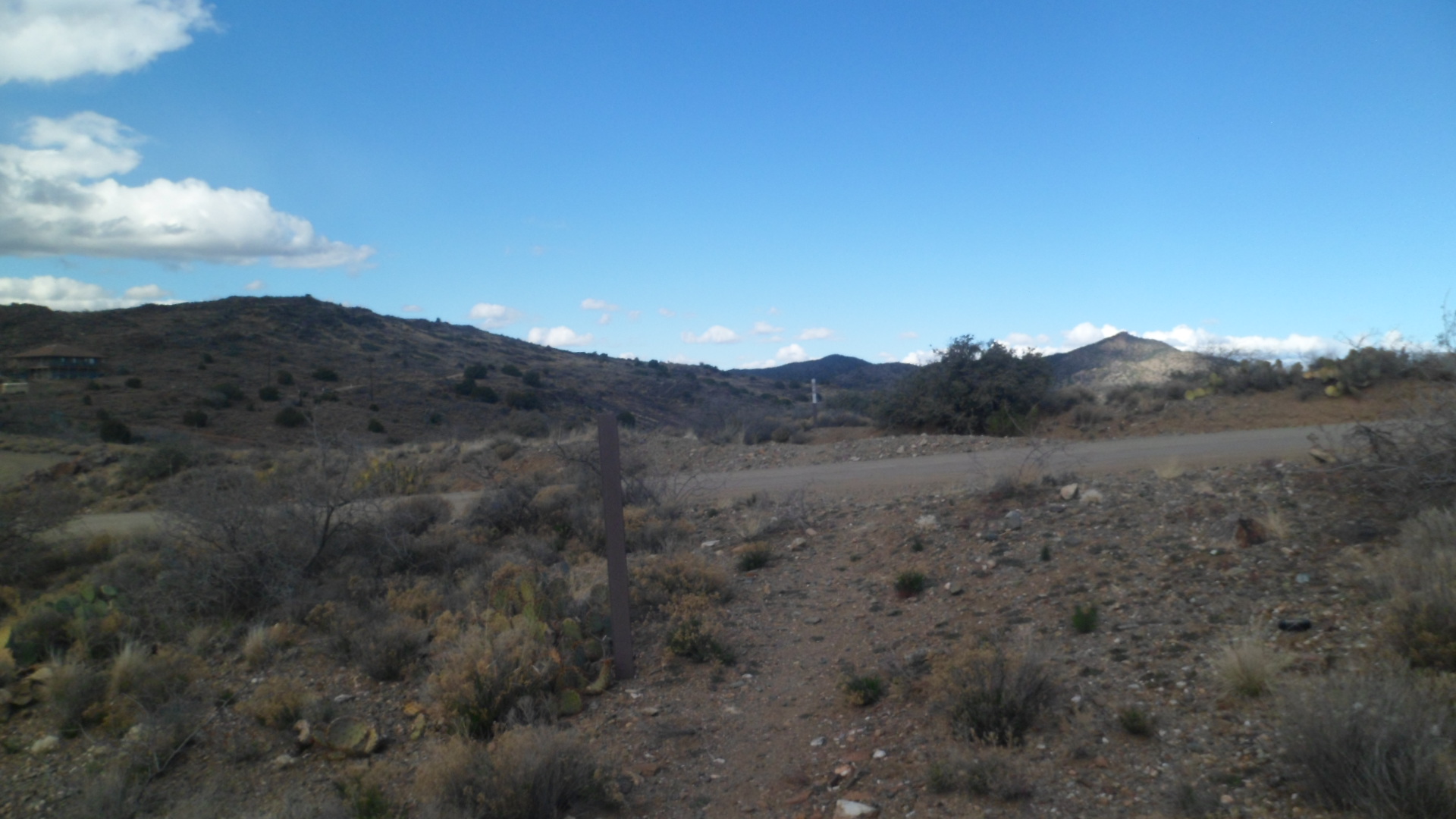
I reached Old Sycamore Road, my northernmost attainment in the area, to date, in about 10 minutes.  The trail signs were clearly visible at this point, about two miles further east from where I had hiked previously.

SAM_7970

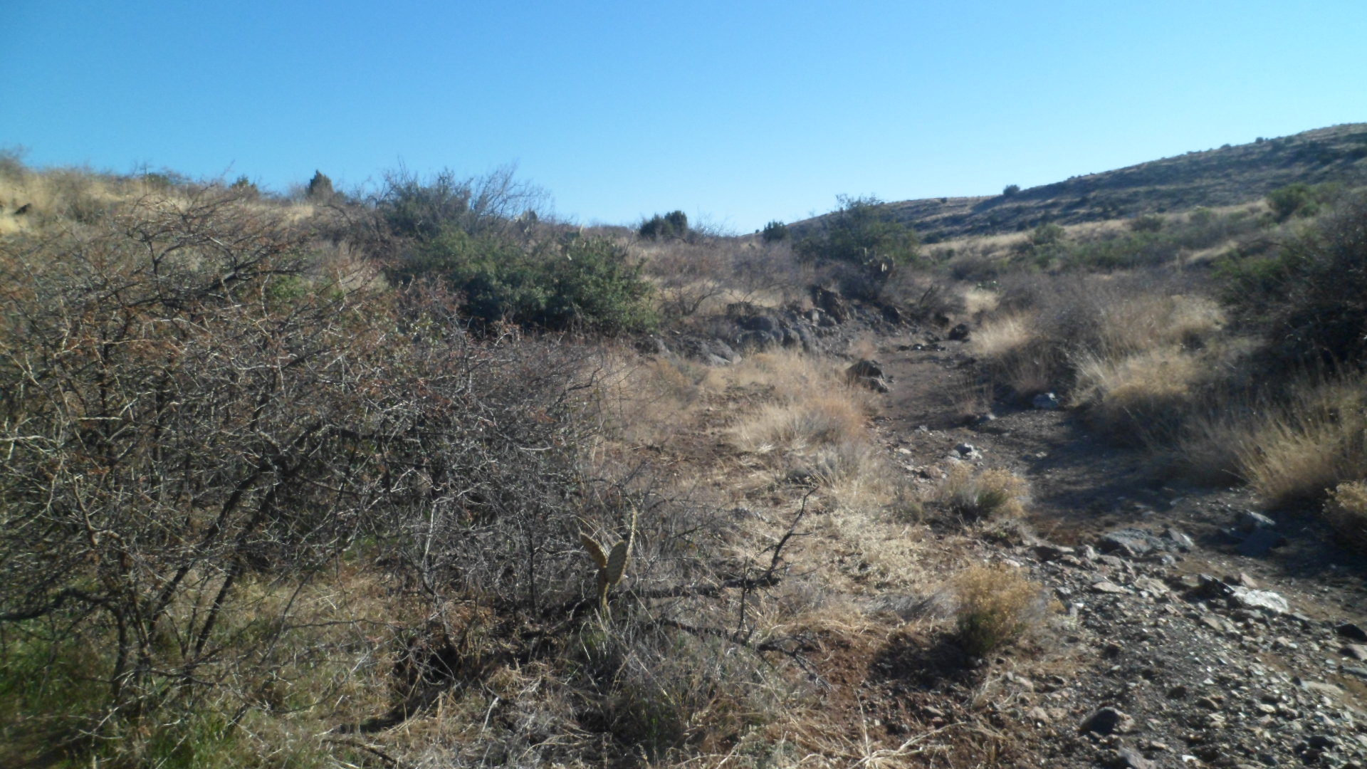
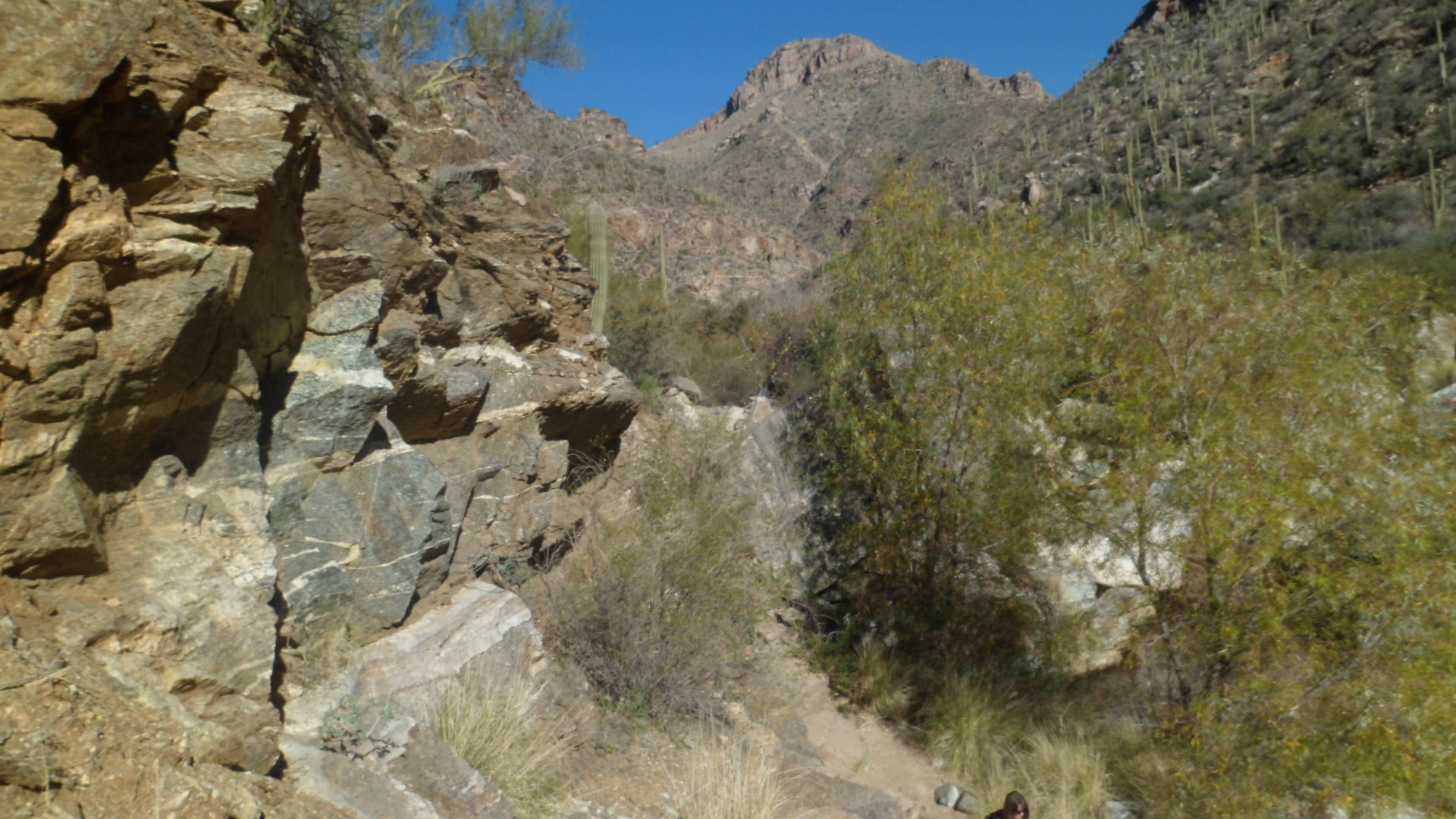
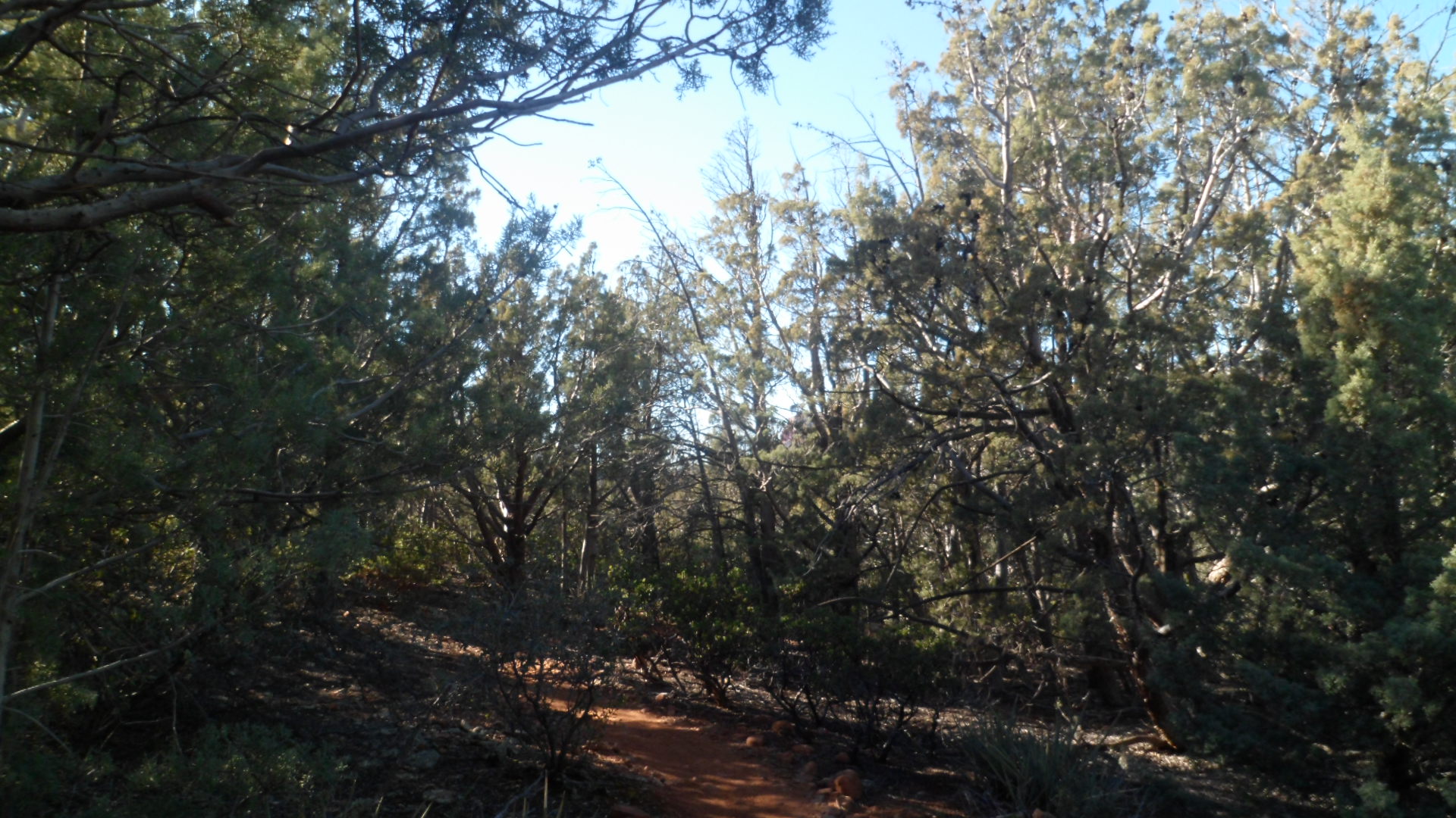
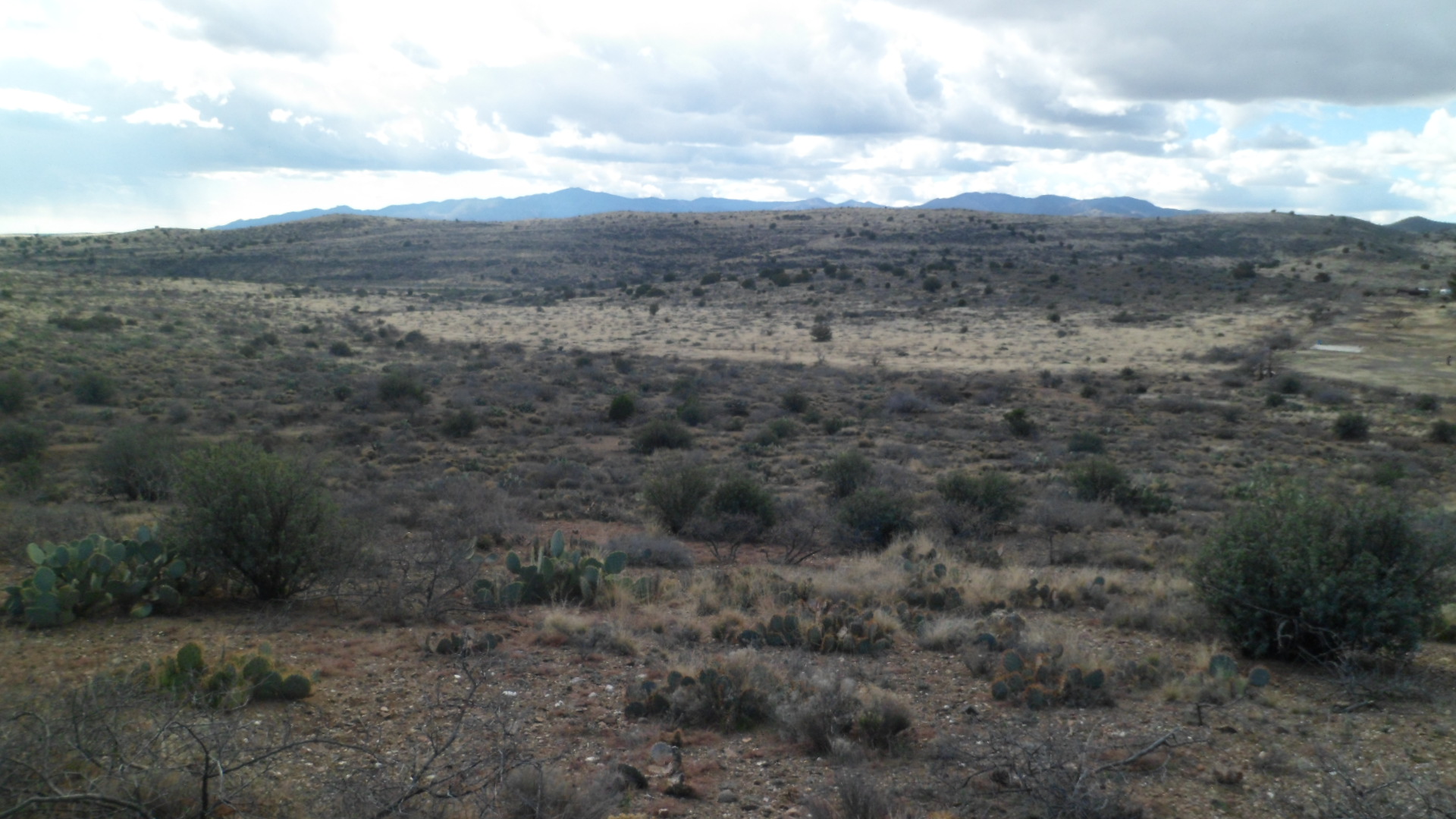
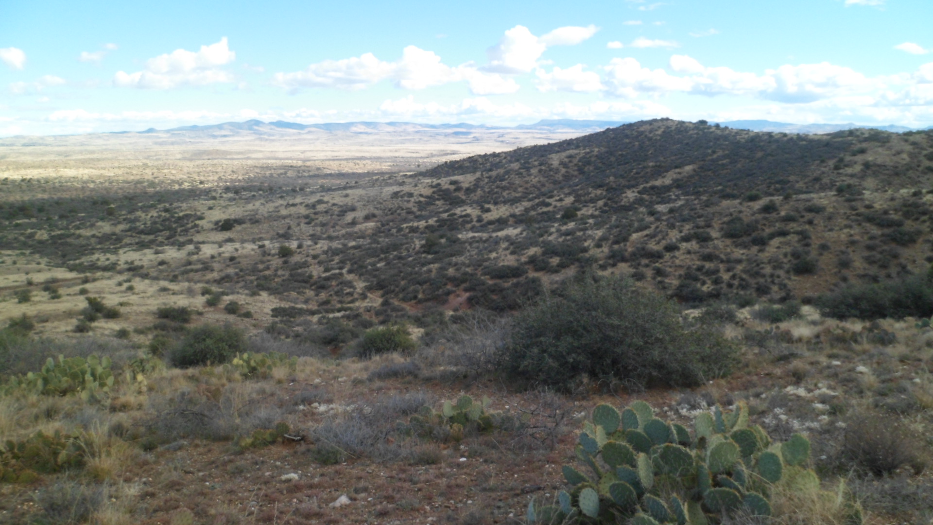
The trail led over and around a series of ridges, perfect exercise on a cool and windy day!

SAM_7971

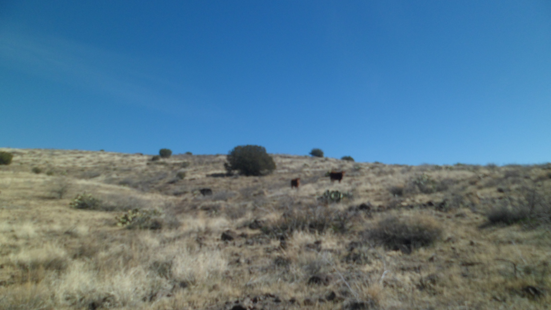
Looking straight ahead, I was delighted to watch a parade of pronghorns, unfortunately not visible through the camera lens, but a joy to behold, nonetheless.

SAM_7973

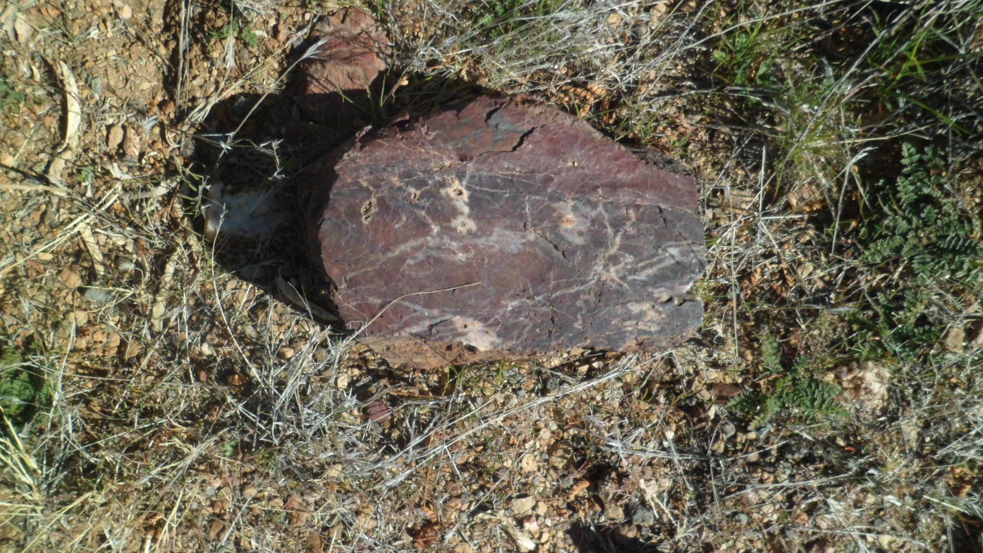
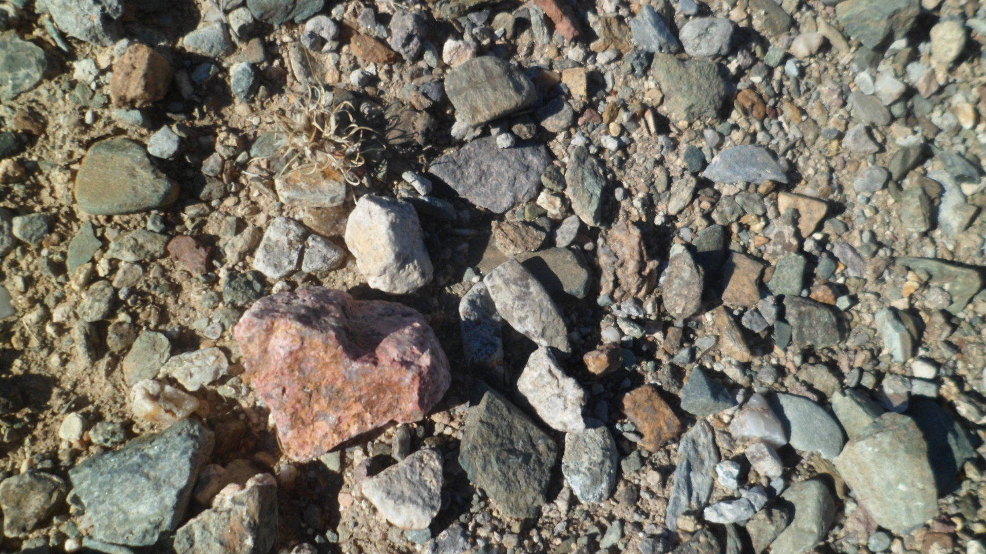
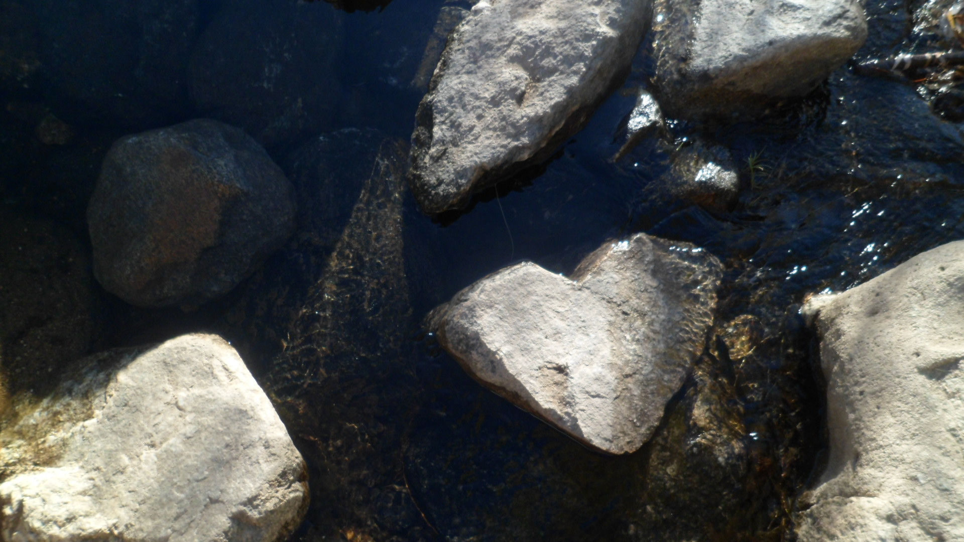
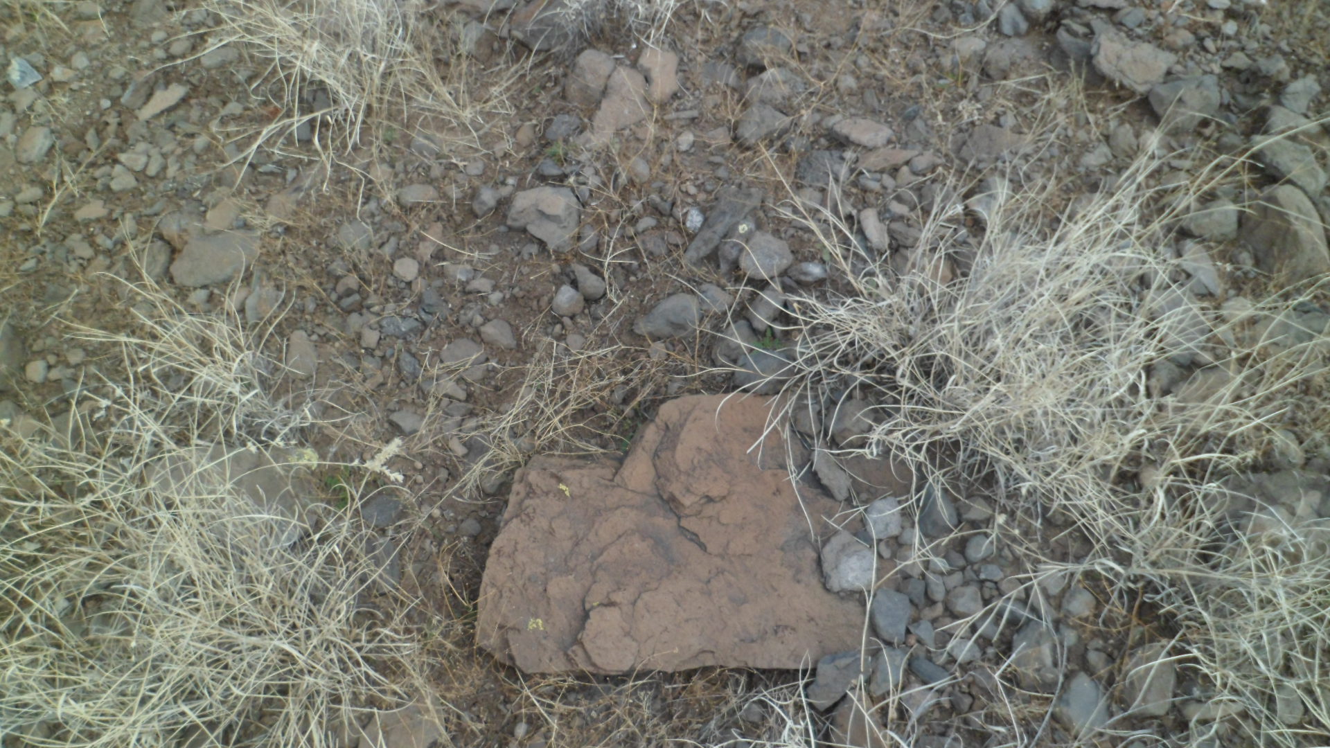
Heart rocks abounded here, including one embedded in the trail- a good sign for the road ahead.

SAM_7975

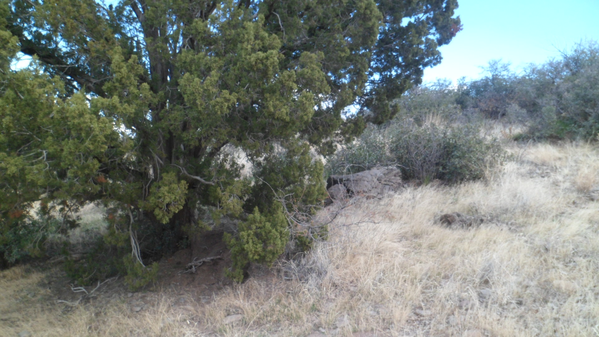
About 3/4 mile from Old Sycamore Road, I found this neat little picnic spot. Here, I enjoyed an energy bar and a healthy portion of the trail mix that I put together from various items I purchased from my friends, the Kaurs- owners of The Honeyman.

SAM_7976

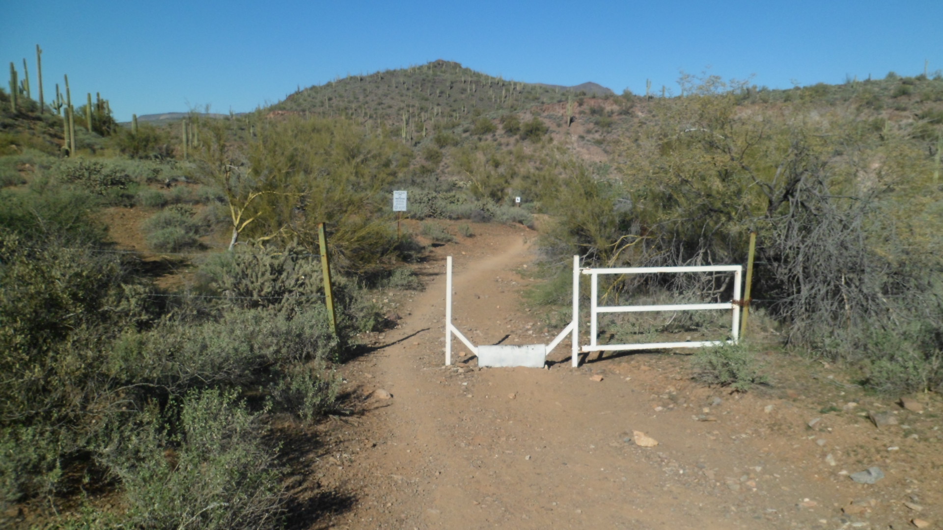
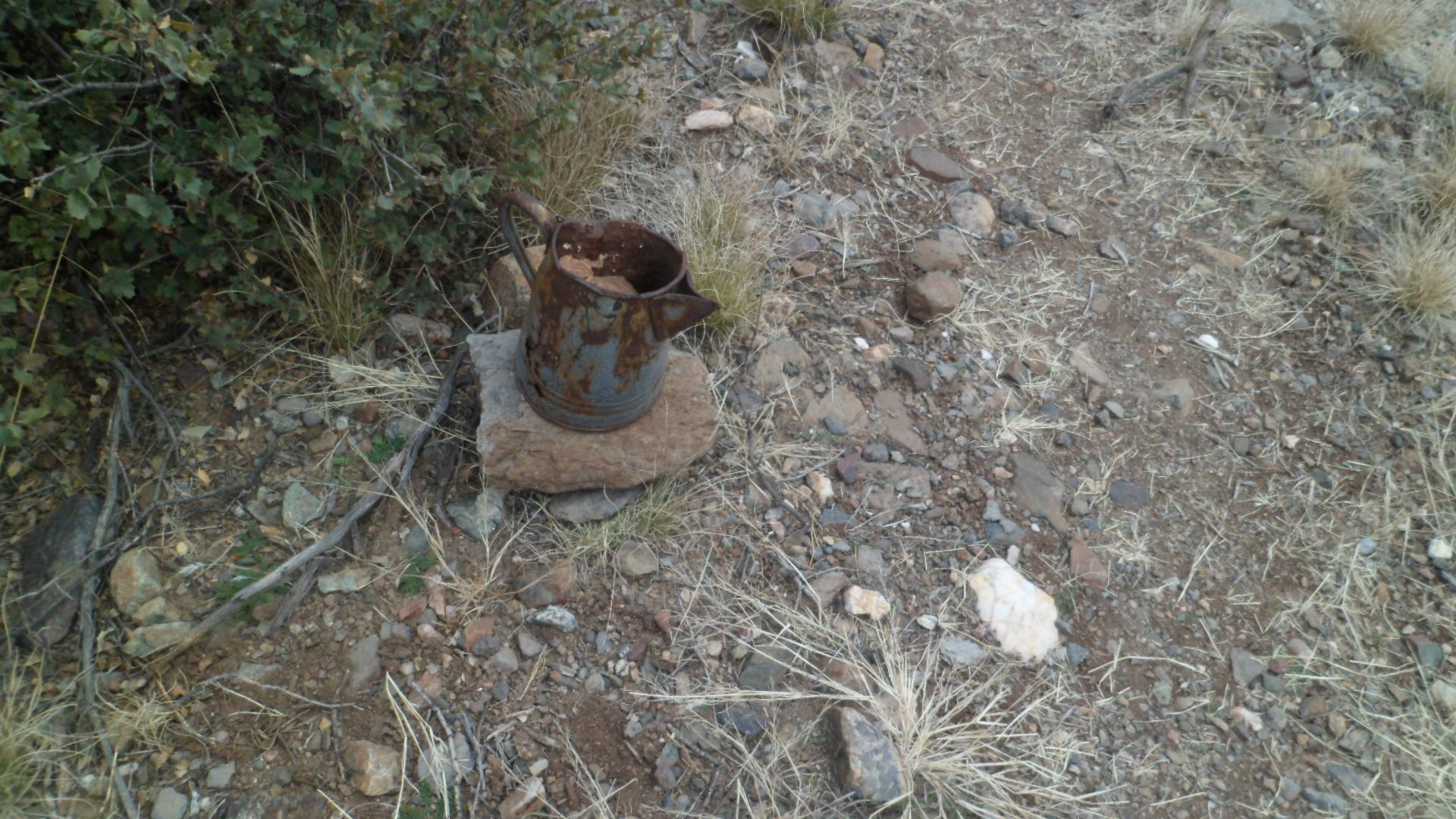
A gate separates the BLM area from a private ranch, and on the BLM side, there was a unique trail marker.

SAM_7979

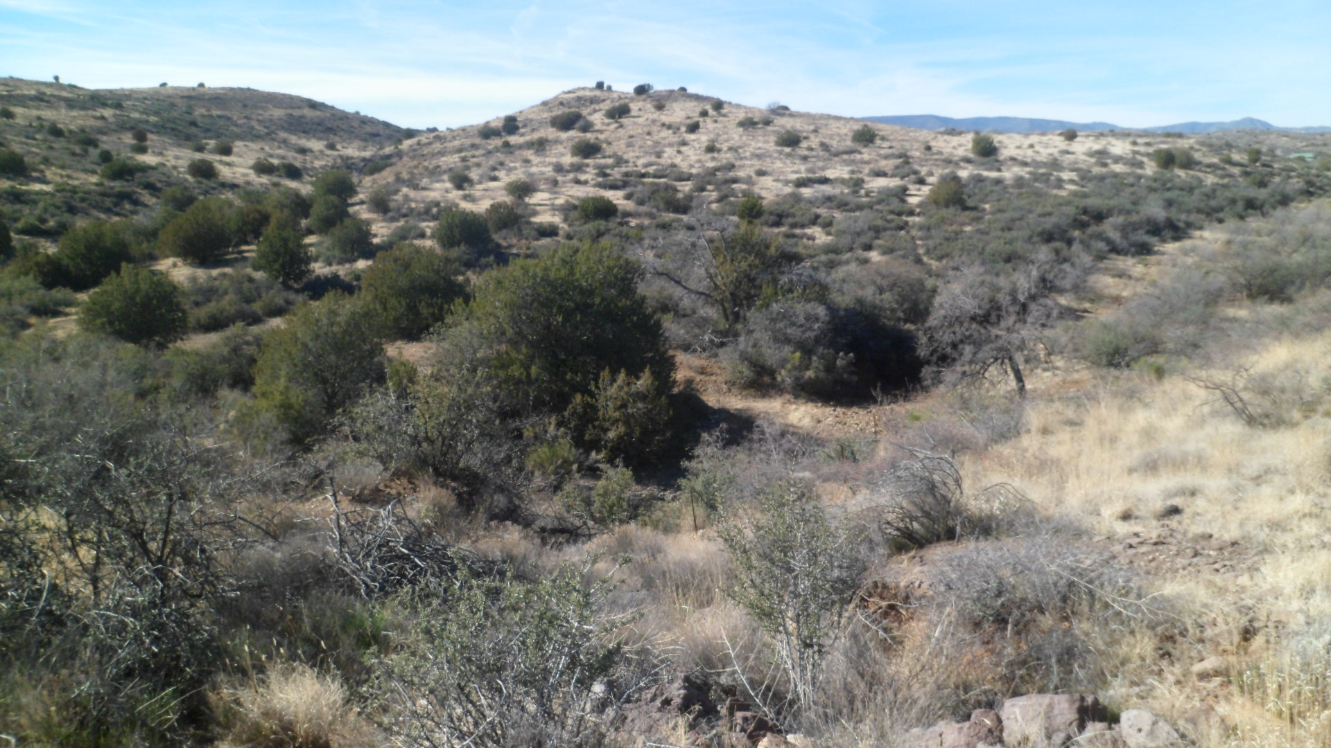
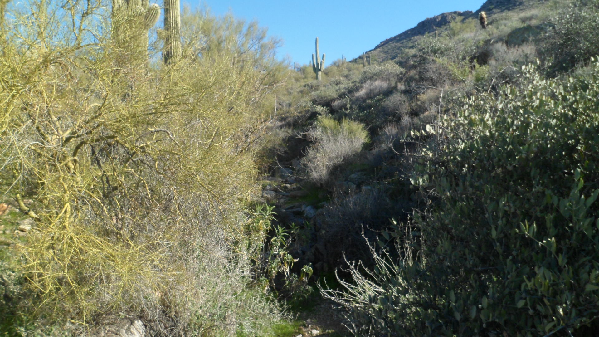
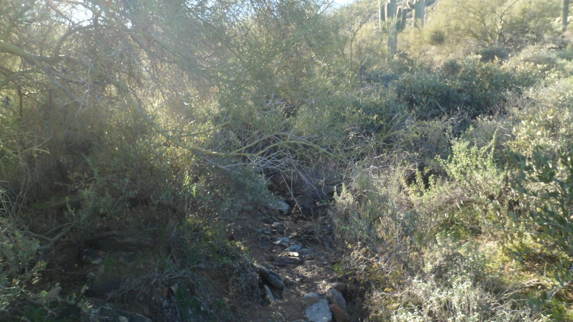
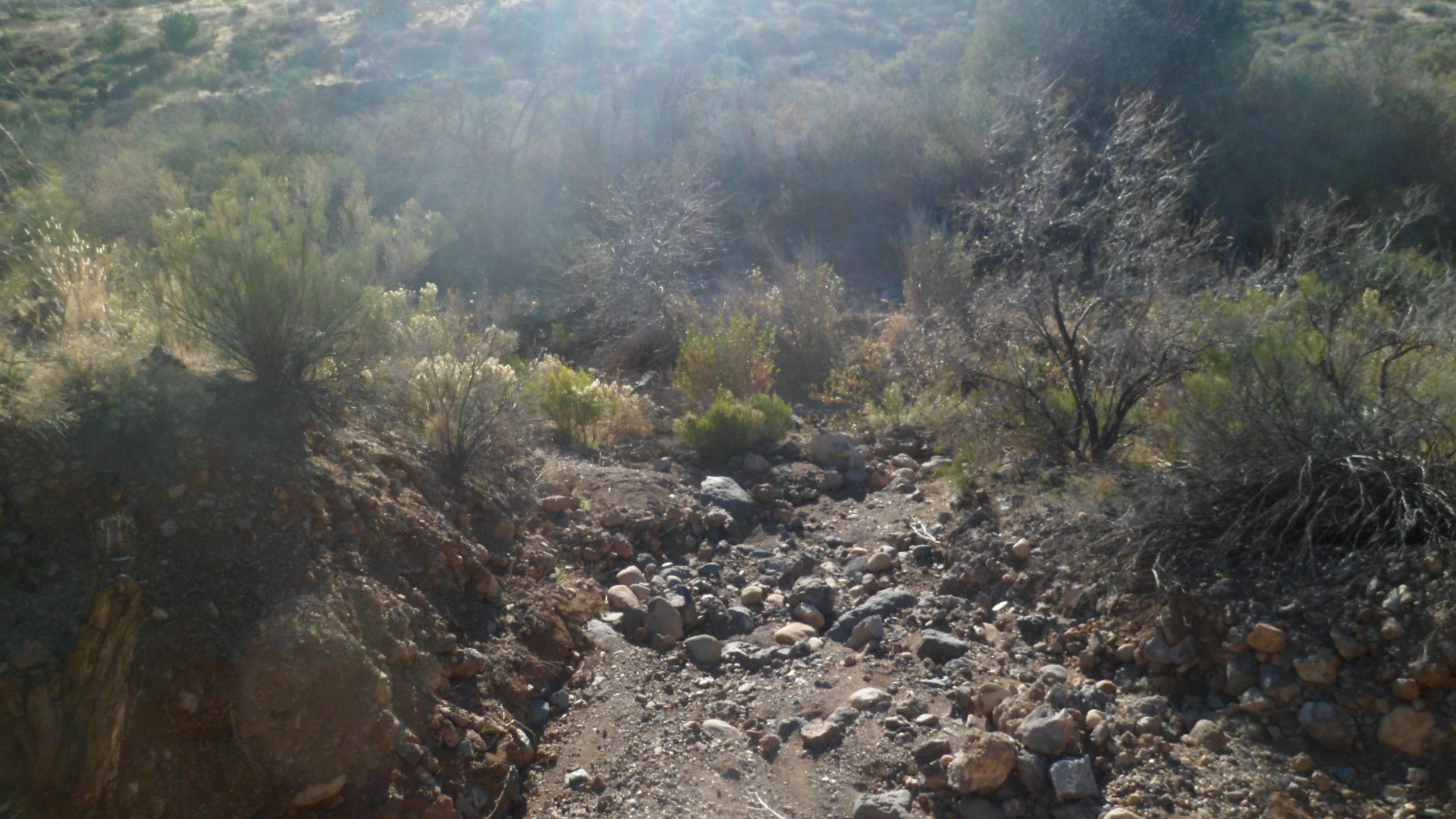
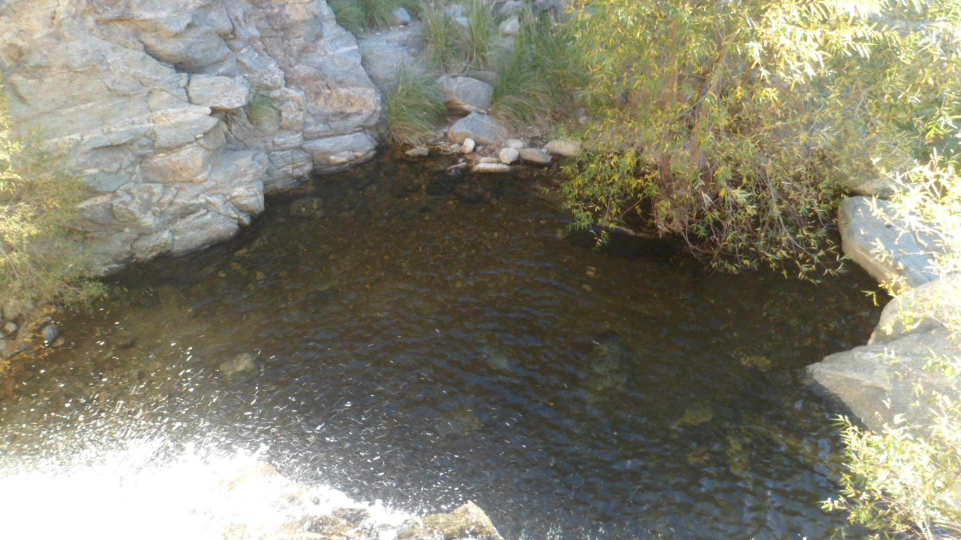
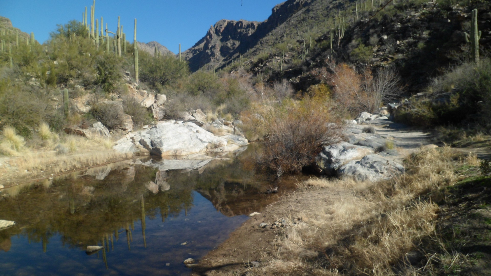
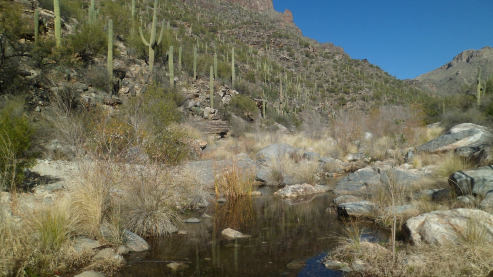
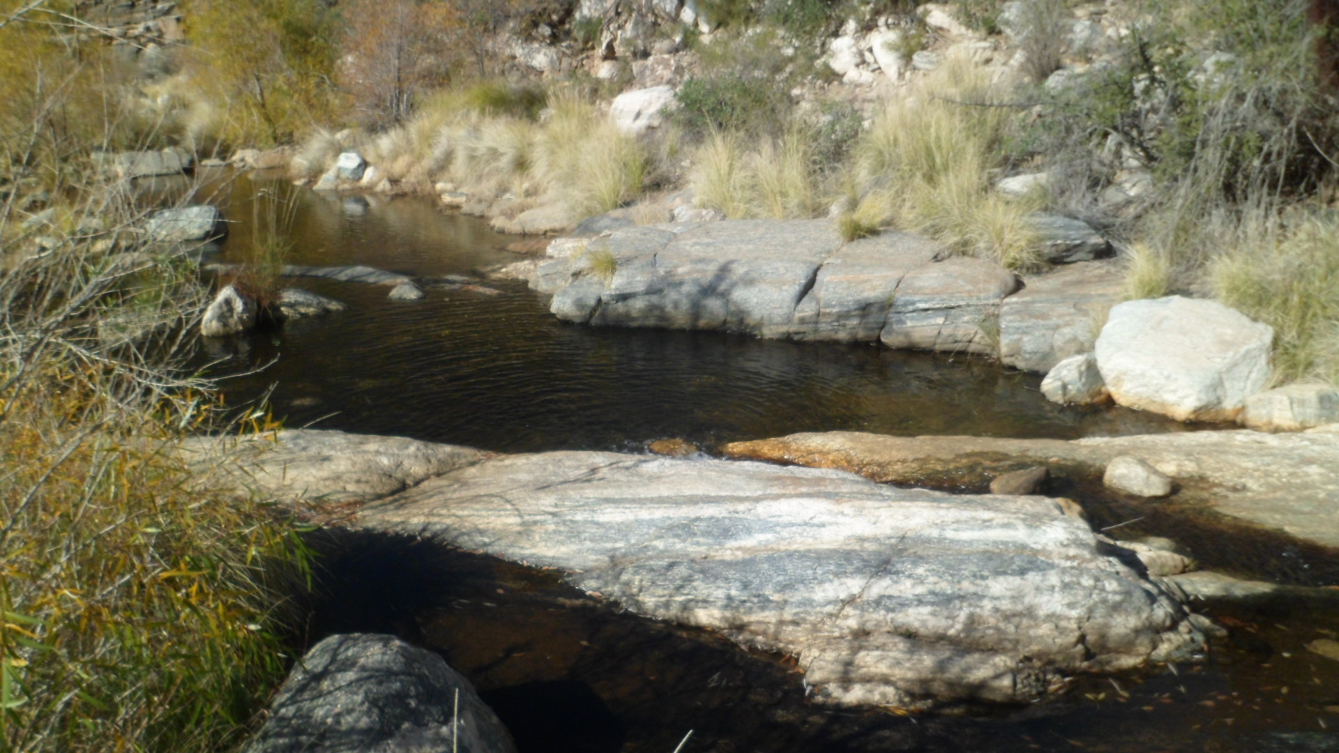
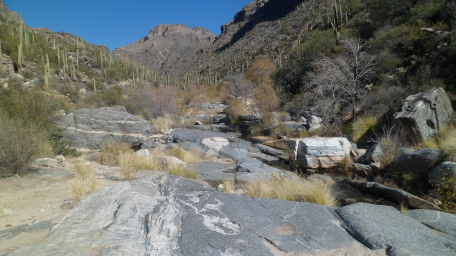
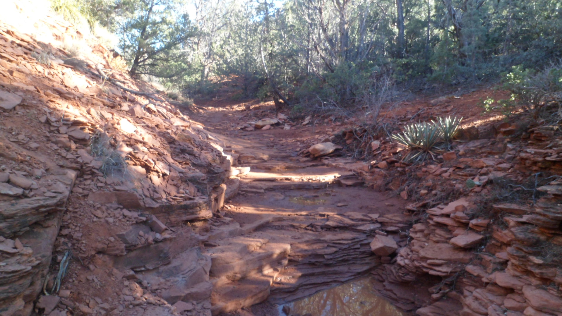
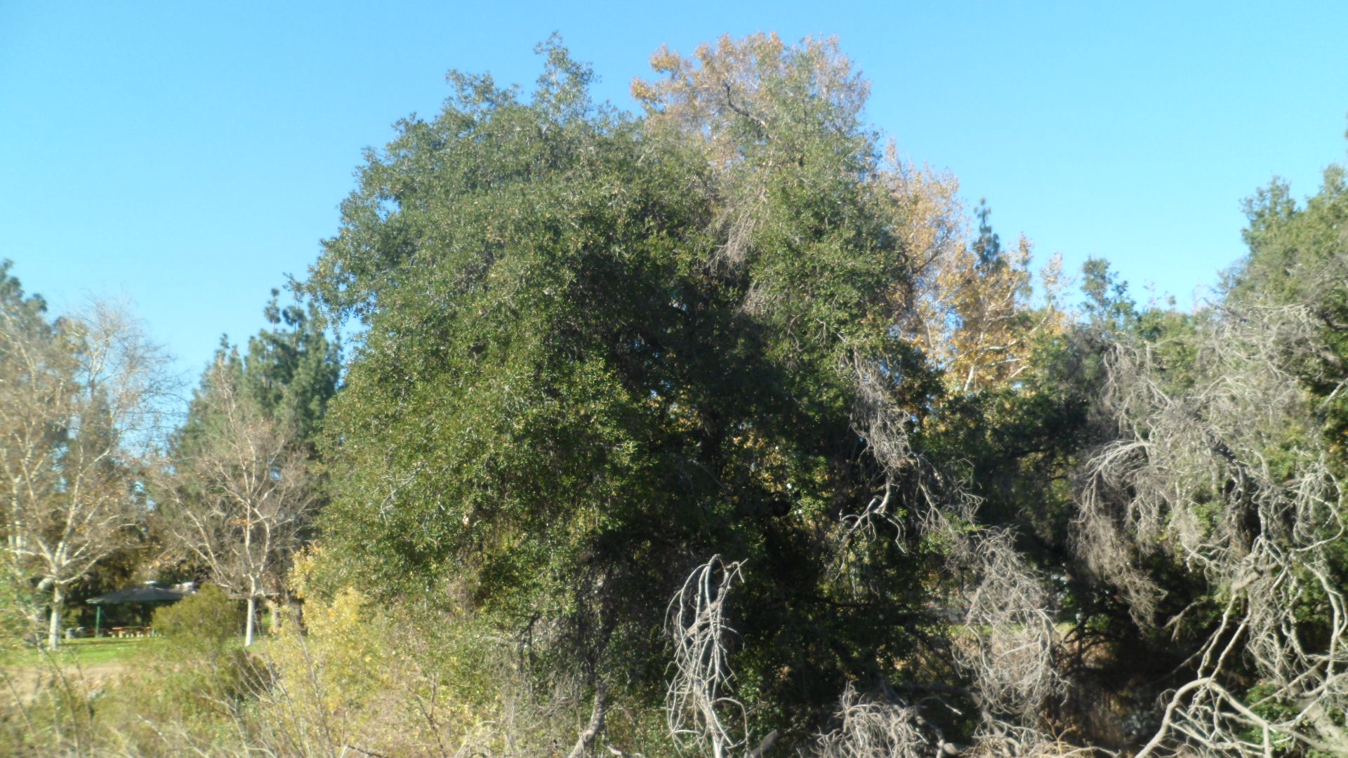
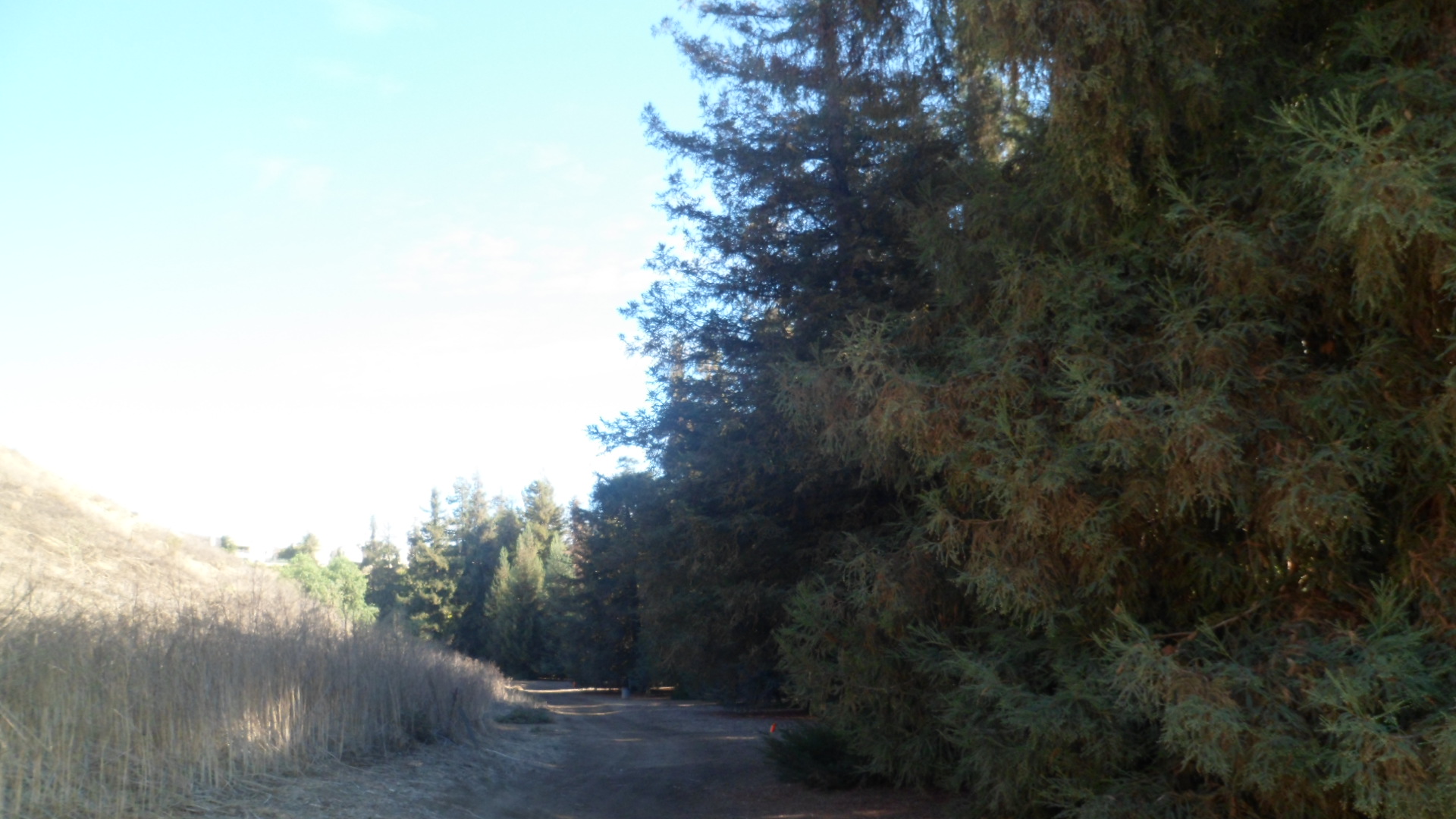
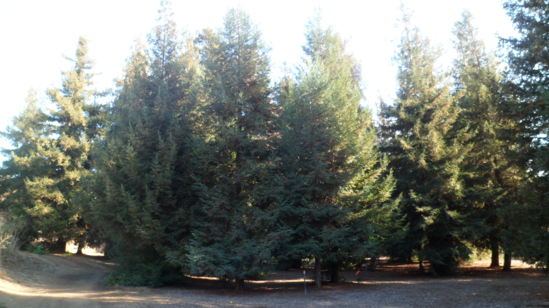
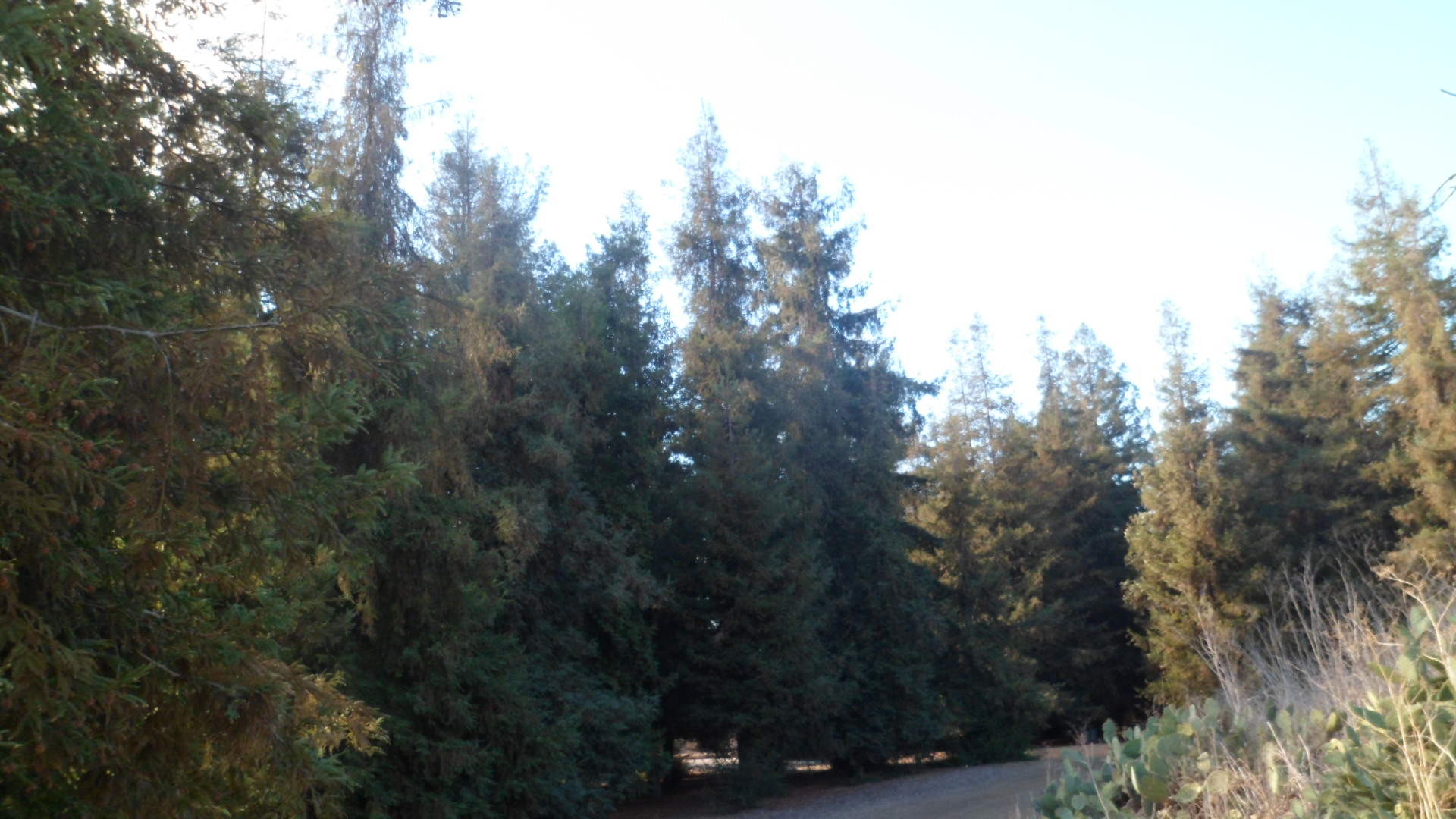
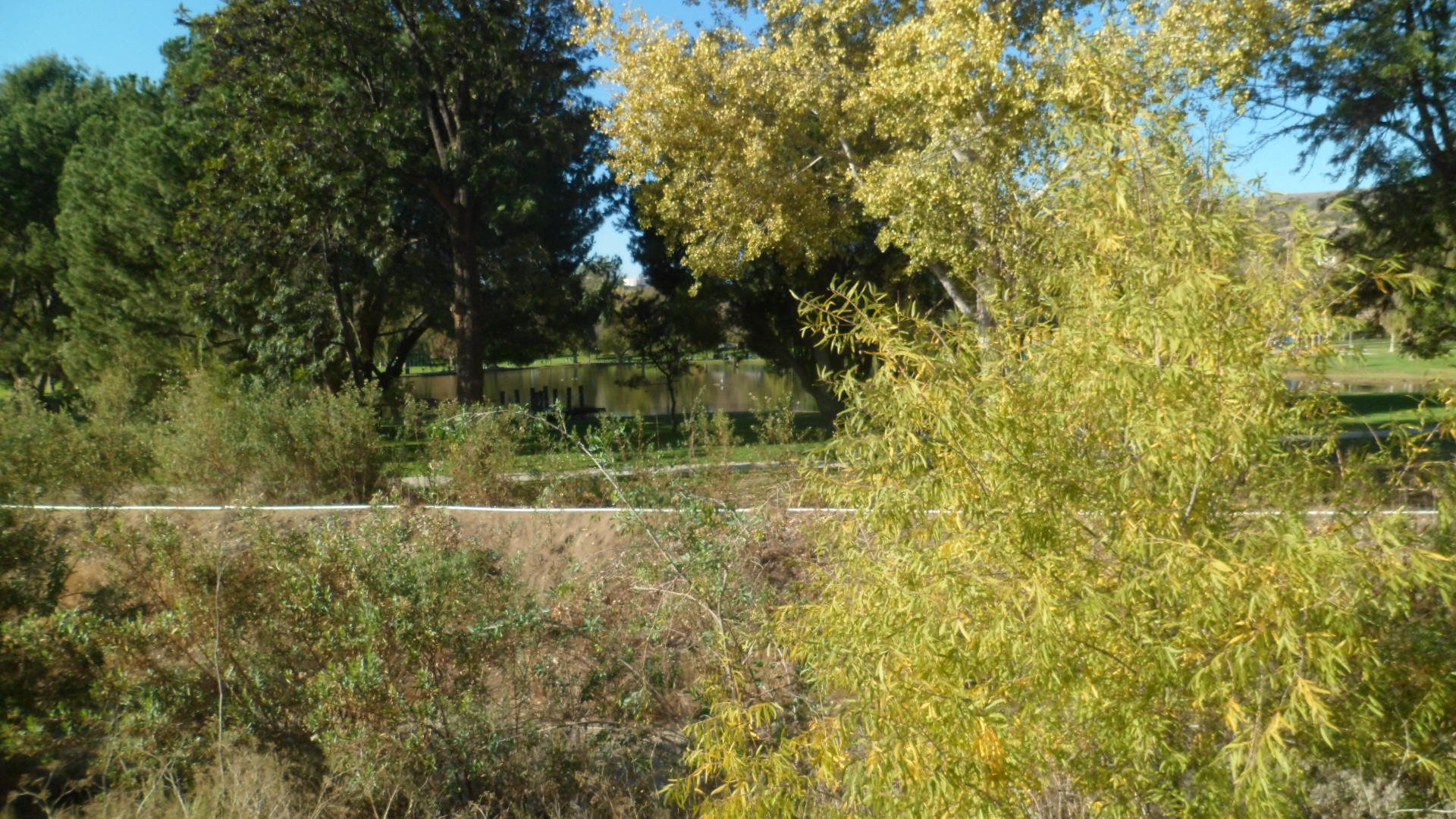
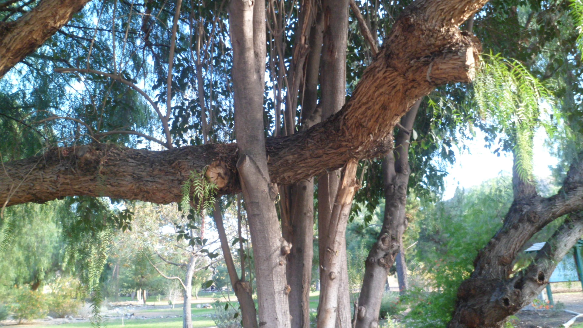
The northern fork of Big Bug Creek offers the most heavily-wooded area on the trail.  Here there is an abundance of chaparral, mulberry and Gambel’s oak.

SAM_7980

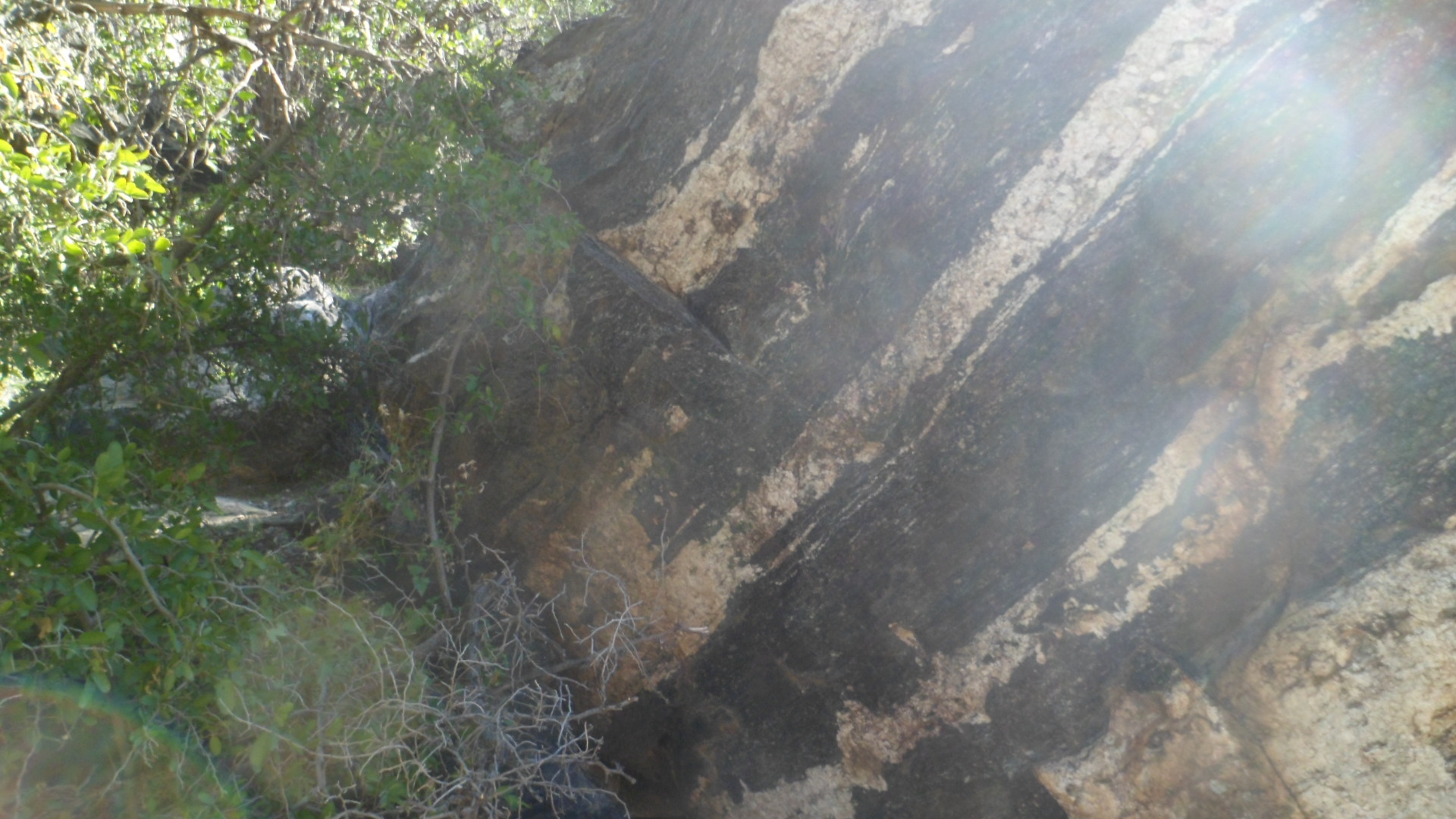
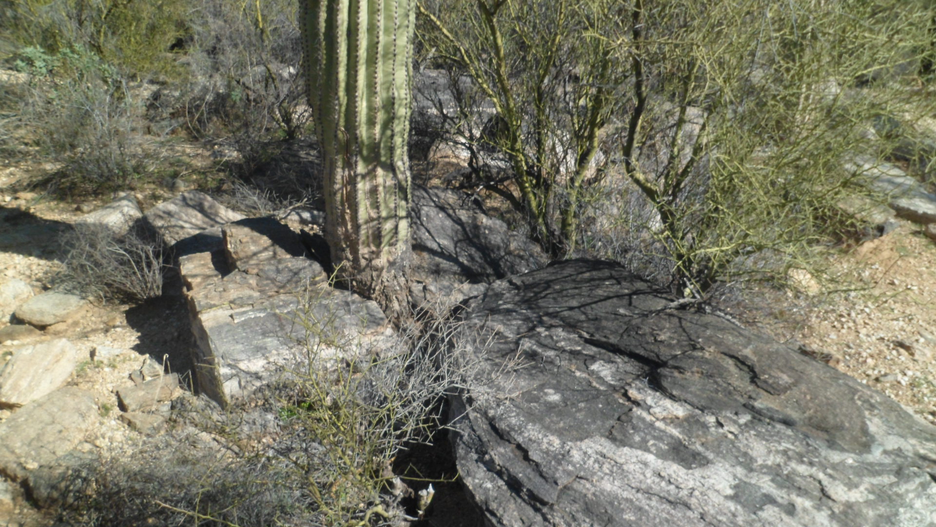
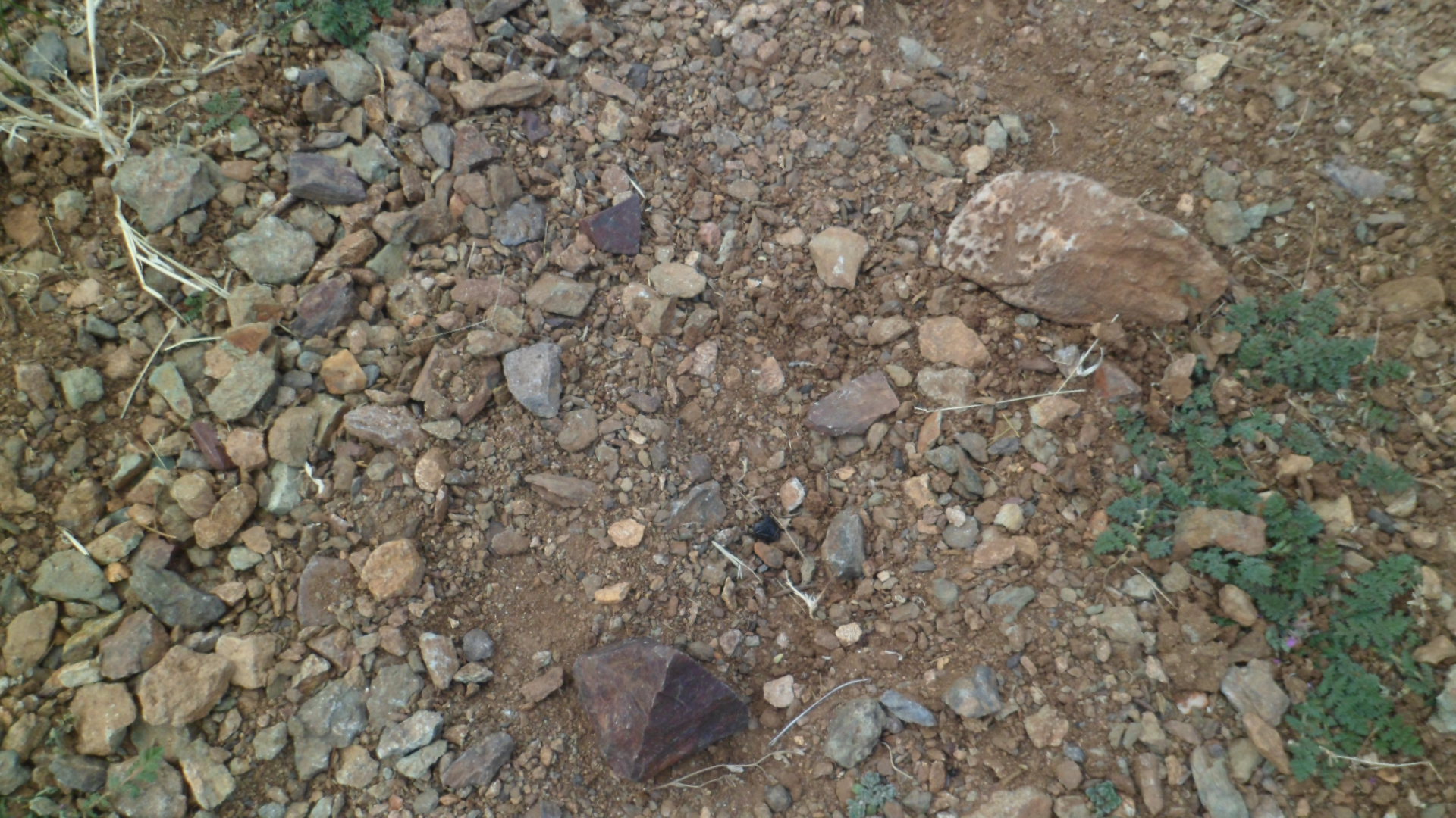
Once past the creek bed, I found a rare pyramid rock, in the middle of the trail.

SAM_7985

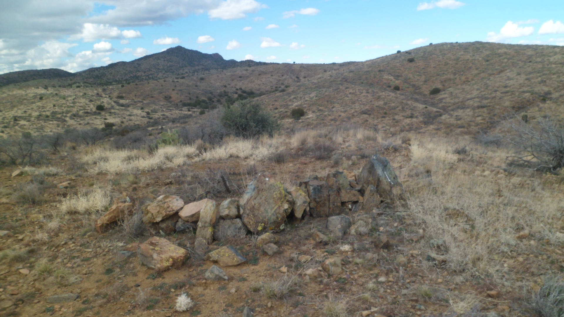
The northernmost cairn on the trail had been knocked down, quite a while ago, from the looks of it.

SAM_7988

From there, the trail was less clear, and came to an end atop a small butte, looking off towards I-17 and a series of power lines.

SAM_7989

So, now my curiosity about the foothills segments of Black Canyon is satisfied.  Next, it’ll be time to gradually explore the trail from Antelope Creek Road, southwards to Carefree Highway, or vice versa.

Black Canyon National Recreation Trail: Part 1, Big Bug sector

6

Black Canyon National Recreation Trail is one of several such trails, for multiple non-motorized use, set aside by the Bureau of Land Management.  It runs about 85 miles, south to north, from Lake Pleasant Road, in north Phoenix, to an area north of Mayer, AZ.

I plan to explore the trail, a sector at a time, during the course of this year.  Careful following of a recent map led me to the south trailhead of Big Bug sector, west of the small community of Spring Valley, twenty-five miles southeast of Prescott.  The sector is 2.5 miles, one way, from Antelope Creek Road to Highway 69.

This sector is an easy hike, going through range land and some mild desert badlands, before crossing through an underpass at Hwy 69, and continuing on north, for a few miles.  I include all sectors in this series of hikes.  Some will be rather barren; others will bring out the grandeur of the Bradshaw Mountains, whose base the Trail navigates.

Here is Big Bug sector.  All trails start at the parking area, these days.  This one is about two miles west of Spring Valley, on Antelope Creek Road.  It’s a rather busy road, popular with ATV enthusiasts and those headed up into the Bradshaws.

SAM_7934

The Black Canyon Trail, though, is sparsely used, at least on this end.  I only saw three other hikers, with their dogs.

SAM_7935

I did have other company, though, on the rangeland.

SAM_7938

Once past the herds, though, one could see forever.

SAM_7939

SAM_7940

The BLM restricts cattle to a point south of this gate.

SAM_7942

When vegetation is sparse, one’s attention is caught by features such as lichen- which here is yellow.

SAM_7943.

Some rocks have a glossy cover.

SAM_7944

Others are heart-shaped, letting me know I am being remembered in the Spirit World.

SAM_7949

Up here, the village of Spring Valley is put into better perspective.

SAM_7946

Big Bug Creek meanders in and out of the area, over five miles, east to west.  The creek bed has been dry since October.

SAM_7952

I feel comforted by cairns.  Besides providing direction, they hearken back to roots which I sometimes overlook, in my day-to-day progress.  This one was carefully placed, resembling a saucy cat.

SAM_7953

Where the water is not far underground, the chaparral and other bushes keep a green eminence.

SAM_7956

SAM_7961

Early wildflowers have started to grace the land.

SAM_7962

Underpass tunnels always cast an eerie glow.

SAM_7960

This one took me under Highway 69, to the beginning of the Old Sycamore sector, which I will more properly investigate, soon.

An early dinner, at LeffT’s, one of my favourite spots in the Dewey-Humboldt area, also proferred some wisdom to me.  “Old Men Rule” shared this:  “The older I get, the better I was.”  Of course, this was right next to a sign offering Fireball Cinnamon Whiskey.  That’d be quite a taste test, were I still the imbibing sort.

Hope this week turns out a sight better for all up north and east- not to mention the Deep South, which doesn’t seem either deep, or south, right around now.

Cave Creek 101

5

I made my first visit to the wilderness, northwest of Scottsdale, AZ, known as Cave Creek Regional Park, on Saturday.  Actually, the park is the southern tip of a region which will be featured frequently in my posts this year.  I began my exploration of the Cave Creek area by hiking Go John Trail, a loop which takes in the eastern two-thirds of the park.

No one seems to know the origin of the name “GoJohn”, but my guess is that it had something to do with the gold miners who thronged in this area, during the 1870’s.  At any rate, GoJohn Trail goes from the Cave Creek Nature Center’s picnic grounds, north as far as the boundary with a parcel of State Trust Land, then loops around to the east, goes  around  GoJohn Mountain ( a mild ascent) and down through a canyon, cut by a branch of Cave Creek, and southward, back to the parking lot.

Here are some views of the trail.

SAM_7874


SAM_7875


SAM_7877


SAM_7878


SAM_7883


Once at the junction with Overton Trail, which straddles the west side of the park, GoJohn heads north to the State Trust Land, which will lead any hiker with a permit to Spur Cross Ranch Conservation Area, a distance of 4.3 miles.


SAM_7885


SAM_7889


SAM_7888


SAM_7891


SAM_7893


From a ridge on the northeast end of GoJohn, one spots Elephant Mountain, the centerpiece of Spur Cross Ranch.


SAM_7894


The granite and basalt of Cave Creek Regional Park are most prominent on the east side of GoJohn.


SAM_7897


SAM_7900


SAM_7901


SAM_7903


The riparian character of the area is most pronounced, as the GoJohn heads back southward.


SAM_7911


Heart rocks greet me everywhere, and this trail is no exception.


SAM_7913


The trail turns into a Pink Carpet, of sorts, as the homestretch begins.


SAM_7914


GoJohn meets up with two eastward-bound trails, the Quartz and the Jasper, along its last mile.


SAM_7919


Lastly, the sunsets in the area do not disappoint.

SAM_7921


Much more remains to be seen, in the area drained by Cave Creek.

Big Bug Canyon

8

The past two hiking excursions have been to the Big Bug Canyon area, between Mayer and Spring Valley, AZ.  It is drained and informed by Big Bug Wash, which flows out of the Bradshaw Mountains, southeast of Prescott.  I have been in search of the most ill-defined section of Black Canyon National Recreation Trail, which starts in north Phoenix and goes to Big Bug Canyon- a distance of some 85 miles.  This section is the trail from the crags on the north side of Big Bug Canyon to Dripping Snake Spring.  I focused, the past two hikes, on  Big Bug Wash and on the ridge which is cut by Old Sycamore Road, north of the wash.

I may well have found the elusive, and seldom-used, trail sector.  Here is the creekbed of Big Bug Wash, just below the remnants of Granite Dells Trading Post.

SAM_7843


SAM_7845


SAM_7847


At the end of this segment of wash, lies Big Bug Dam, now little more than a retaining wall.

SAM_7849


SAM_7851


SAM_7852


This was the scene last Tuesday, at what had been Granite Dells Trading Post.


SAM_7853


This afternoon, I set out in search of the actual trailhead.  Walking along the north rim of Big Bug Canyon was one ploy.


SAM_7855


SAM_7857


The rim road goes as far as this ranch, whose owner may or may not let hikers on the premises.


SAM_7861


This road has lots of heart-shaped rocks, including  this little pink granite.

SAM_7865


Here is the apparent trail, between Old Sycamore Road and the tunnel under Highway 69.


SAM_7866


Here is the tunnel.

SAM_7868


On the south side of the tunnel, the climb down to, and past, the meandering Big Bug Wash awaits, for another day.

SAM_7869


SAM_7870


On the other side of the canyon, the ridges to the north are yet another beckoning site.

SAM_7871


Next up:  A day in Cave Creek.

More than Man Caves

6

I have wanted to visit Arizona’s largest known publicly-accessible caverns, located nine miles south of Benson, for several years now.  A few days ago, tickets to the two tour routes were purchased and I set aside Saturday, Jan. 4, as my Cave Man day.

After a pleasant night’s rest at Quarterhorse Motel, and a hearty breakfast at the Farm House Restaurant, I headed down the short stretch of U.S. 83.

I pulled into the gate, showed my ticket receipt and went to the Discovery Center, to get my actual tickets, which are collected by the tour guide and reused by many visitors.  I was unable to take my camera or cell phone with me, into the caverns, so my own photos are of the Whetstone Mountains, which serve as the roof of  Kartchner Caverns.

SAM_7779

SAM_7780

To the east, one can see the San Pedro River valley, southern Arizona’s most active riparian system.

SAM_7782

While I wasn’t able to take my own photos of the caverns, the Park itself graciously posts several, on Google.  Here are three  representative scenes.

Soda Straw Stalactites are made from the mineral deposits of  a single drop of water, suspending over time.

Kartchner caverns-1

^ @Copyright Arizona State Parks

Below is a drapery, which is a horizontal, rectangular mineral deposit.  This is called bacon drapery, for obvious reasons.

Kartchner Caverns-2

Finally, we see Kublai Khan, a stalagmite, named for the Mongol Emperor of China, celebrated in verse by Samuel Taylor Coleridge.  This formation, found in the Throne Room, is the centerpiece of a delightful laser-light show, at the end of the Throne Room tour.

Kartchner Caverns

^ @ Copyright Arizona State Parks

I also toured the Big Room, in the afternoon.  This room is closed, from May-October, as large colonies of bats roost here then, whilst giving birth and nursing their young.

Kartchner Caverns- Big Room

^ @ Copyright, GoCalifornia.com

The staff goes to great lengths to keep human oils, peeling skin and hair, as well as clothing lint, from getting in the cavern formations.  Visitors stay on a paved pathway, there are drain cups all along the paths in the caves and no animals are allowed in the caverns.

Ironically, the first exhibit that greets us, in the Discovery Center, is that of a Shasta Ground Sloth, one of the smaller ground sloths of Pleistocene North America.  The remains of one such sloth were found inside Kartchner, when the first two known explorers, Gary Tenen and Randy Tufts entered the caverns, in 1974.  A dead coyote was later found in the caverns.  These finds suggest an earlier passageway into the caverns, perhaps from Guindani Wash, which flows through the area, seasonally.

The Caverns, as mentioned earlier, are surrounded by the Whetstone Mountains, largely comprised of gray chert, which resembles the stone used in sharpening blades.  These small mountains may be explored further, by way of Foothills Loop Trail (2.5 miles) and the Guindani Trail (4.2 miles).  These two trails may be areas I explore later.  For Saturday, the caverns were more than enough to occupy my attention.

Tucson’s Seven Falls- Part 3

4

Reaching the turning point of any journey is nearly always fulfilling- and last Friday’s arrival at the Falls was no exception.  Getting up and in there is ALL the fun.

SAM_7755

There are three falls that are accessible to the casual hiker.  I imagine the rock climbers could manage to get permits to go down to the upper four cascades, but I was glad just to have a bear’s eye view to the top.

I spent about ten minutes examining the first cascade, and its pools- both the feeder and receiver.

SAM_7756

SAM_7761

SAM_7762

Climbing up a short ledge to Cascade # 2, we find this:

SAM_7763

SAM_7764

SAM_7765

Going up to Falls # 3 is a slight alley-oop, through a safe rock ledge, to the left of the creek flow.

SAM_7767

SAM_7766

There is a small beach here, at the hiker’s terminus.  I always count myself fortunate to find others at these sorts of places, so that I may take a photo of them as a couple or, as with the other day, a group of three.  I’m always glad to get a record of my own visit, in kind.

SAM_7770

Looking backwards, I feel blessed by the power of water.  For me, a child of fire, that’s huge.

SAM_7768

SAM_7769

Going down the trail, back towards Sabino Visitor Center, I was  always reminded that it has been a work in progress to keep this sacred spot in the state that it was known to the ancient Sonorans.

SAM_7772

The first people here made their marks, but no doubt found the passage to the top of the ridge as formidable as we do.

SAM_7773

I got a nice warning from Mr. Sun that our time together in this breathtaking canyon was getting short.  The flashlight in my day pack wasn’t too fazed.

SAM_7777

Besides, this is another place where I was being closely watched and guided.

SAM_7778

These Seven Falls, in a dryer climate and lower in elevation than their Colorado counterparts, nonetheless inspire, comfort and reassure- just as much as the falls to the north.

Tucson’s Seven Falls- Part 2, Upper Bear Canyon

2

The upper part of Bear Canyon features the last two creek crossings, then takes one up a moderate switchback and along a ledge trail, for the 2/3 mile remaining to Seven Falls themselves.  I found a few families returning from the Falls and at least one hiker looking exhausted.  Somehow, though, I did not get the feeling I was about to share his fate.

SAM_7736

SAM_7743

SAM_7745

SAM_7746

The striations on the boulders increase with the level of water activity, indicating heavier mineral deposits upstream.

SAM_7747

Here is a look westward, back at Bear Canyon.

SAM_7748

The wispy cloud rising up reminded me of Penny.  There has not been a time that she has been more missed than right now.

SAM_7751

Heart-shaped rocks always seem to pop up, when I start to get a bit down-hearted.  Guess it’s a message that I can get  over whatever is weighing me down.  This lovely canyon was just the right place, on that day.

SAM_7752

Next:  Seven Falls themselves

Tucson’s Seven Falls- Part 1, Lower Bear Canyon

2

I had the pleasure, on Friday of  this past week, of hiking the eight mile round trip, between Sabino Canyon Visitor Center and Seven Falls, in the Santa Catalina Range, northeast of Tucson.  Bear Canyon Trail provides a generally easy path, for the first 2.5 miles,then  7 crossings of Bear Canyon Creek, which are quite straightforward, and have MOSTLY stable steppingstones.  A walking stick, or two, are advisable for the stream crossings, though.  Here are some views of the first 2.5 miles, including a heart-shaped rock.

SAM_7695


Bridge crossing Sabino Creek.

SAM_7698


The trail to Bear Canyon diverges from Phone Line Trail here.


SAM_7703


Note the striations on the rocks, which result from centuries of hard water activity.


SAM_7706


Here are several shots of Bear Canyon Creek.


SAM_7709


SAM_7710


SAM_7714


SAM_7716


SAM_7718


SAM_7723


SAM_7727


SAM_7729


SAM_7733


There are some interesting rock overhangs, and the long view to the canyon rim, along the way.

SAM_7721


SAM_7712


Next, Upper Bear Canyon

Sedona’s Chuckwagon Trail

10

As with all things Sedona, this aptly-named trail, opened a few months ago, is a feast for the eyes.  The “Chuck” is a loop trail, of about 3 miles.  Yesterday, I took the segment that links with Devil’s Bridge Trail, so as to go up to Vultee Arch and get up close to that marvel of nature, also called Devil’s Bridge.

It is a moderate hike, in my estimation, not requiring much effort for most of the way- but asking the hiker to use caution on the final ascent to the Arch, as well as on the descent.  Along the way, much attention was focused on three rock climbers , perched on the south face of Mescal Mountain, across the canyon to the north.

Here are several shots of the Chuck, and of Vultee Arch.  First, is the Dry Creek Road Parking area.

SAM_7648

I took the segment of Chuckwagon that went towards the Bridge.

SAM_7650

The route to the Bridge goes east, through the scrub of the southern Great Basin, across Dry Creek (which actually had pockets of water, here and there) and back south a bit, to the Devils Bridge parking area ( a small dirt lot), off the four-wheel drive-only road.

Here, we can see the north section of Capitol Butte, which is home to the arch.

SAM_7651

Mescal Mountain and Doe Mountain are visible to the north.

SAM_7652

The trail is very easy here.

SAM_7654

True to form, I found not one, but three, heart-shaped rocks along the trail.

SAM_7656

SAM_7660

SAM_7668

There are riparian pockets along the way.

SAM_7657

SAM_7664

SAM_7661

One can see the arch from a fair distance, once on the Devils Bridge Trail.  That trail is about a mile long.

SAM_7666

The view from the sandstone bench, southwest of the bridge, is also worth the short climb.

SAM_7674

SAM_7677

Here is an interesting sandstone “slice”, near the Devils Bridge Trailhead parking lot.

SAM_7670

Finally, on the bridge itself, is an example of “Boys will be boys”.

SAM_7675

I find myself feeling best, when on the trail, whether surrounded by throngs or in isolation.  Hiking is one of the few things I haven’t messed up.  Besides, it keeps me healthy.

OC’s Wild Side

2

Saturday, November 30 led me up the coast to Orange County, as has been my wont, over the past several Southern California visits.  I’ve been to all but two of the OC beaches, and elected to return to San Clemente Beach, for a short while on Saturday morning, so as to enjoy an early lunch and breathe a bit of salt air.

SAM_7453 SAM_7455

Not knowing what the traffic situation would bring, I headed north a bit, along the coastal highway.  Glancing over at I-5, I spied, with my little eye, a line of traffic inching its way towards the Capistrano Beach exit.  So, the coastal drive continued, as far as just north of Dana Point.  I was able to easily cut over at Crown Valley, and followed the various highways up to Brea, leaving me plenty of time to enjoy Carbon Canyon, home to Orange County’s only remaining grove of Coastal Redwoods.  The area is in what was once the oil-producing town of Olinda, now submerged by a reservoir that was created by the Carbon Canyon Dam.

SAM_7456

The first part of the regional park is standard SoCal wilderness, with a fledgling botanic garden, for effect.  The dam has left two small reservoir ponds that are linked.  Standard SoCal means plenty of manzanitas and California Live Oaks, but there is the promise- of redwoods.

SAM_7458

SAM_7459

SAM_7461

SAM_7481

After a mile or so, there they are.  No, it’s not a Christmas tree farm. These are for posterity, and new trees are growing!

SAM_7465

SAM_7471

SAM_7476

The ponds are also a source of enjoyment to the people of Brea and Yorba Linda.  There were almost as many people along the shore as there were enjoying the redwoods.

SAM_7463

On the way back, one is reminded that this is still an extension of the Sonoran Desert.

SAM_7479

Immediately to the east of Carbon Canyon lies Chino Hills State Park, with several gems of its own, extending from Olinda to the town of Chino Hills, nearly 20 miles eastward.  This is a place to explore another time, but for now, here is the west end of Telegraph Canyon.

SAM_7483

Doubling back through Carbon Canyon park, on my way back out, I spotted a bit of tree hugging.

SAM_7486

It was a good point in time for time travel, of sorts, so I went to downtown Brea, and found some blasts from the past.  Next post:  Back to the seventies.