April 12, 2016, Prescott- I was determined to not let yesterday’s minor irritations be like rocks in my shoe. Today started out fresh, with the promise of being a full day- work would be followed by a professional workshop, then a meeting of Slow Food Prescott, with its vegetarian dinner.
I got to work, with plenty of time to spare, and a styrofoam box of freshly made pancakes, from Cupper’s Coffee House- hoping for breakfast time. As it happens, I did enjoy the pancakes, only in the automotive classroom, rather than with my charges in Resource Center. Well, things went smoothly enough, the auto shop students did their own project, and the three classes focused on the academic aspects of automotives were mostly dawdlers, but hardly difficult to manage.
That is one aspect of my current position- flexibility, that will only enhance my position. Be invaluable, the voice said during my meditation, last night, and so the flow took me to a place of worth. During the free hours, I found that my new colleagues were glad for what help I could offer them. It has been a long year for many, and being a voice of reason makes a person welcome, in these parts, by teachers and students alike.
Afterward, a workshop was offered, on the Google calendar, by two imaginative and tech-savvy teachers, one of whom I regard almost as a daughter. She will have a long and fabulous career as an educator. I picked up some good points from this workshop, and can organize my overall time, in a far clearer manner, using this tool.
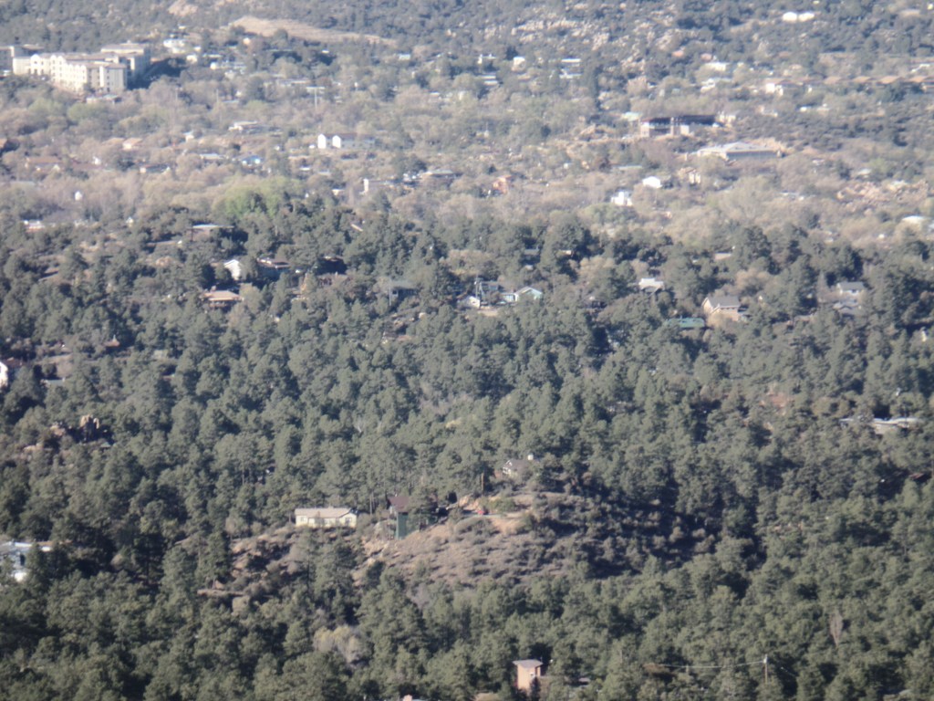
Slow Food’s April meeting transpired in an amazingly lovely Manzanita Village, a cooperative housing scheme, overlooking the city and some intervening valleys. I didn’t have my camera tonight, but will be sure to go back up there and take a few photos to share, in the not too distant future. The meal featured some fermented foods: Kimchi, sauerkraut, kefir and dosa- a crepe, made from fermented lentils and brown rice, soaked for 24 hours, then blended into a batter. It hails from south India, and was thoroughly delectable. I was even given some batter to take home. So guess what breakfast will be tomorrow!
This sort of feeling more connected has generally happened more in Spring, the past several years- and is what keeps me in growth mode. Friendships like these are worth growing.
April 9, 2016, Prescott- My companions today were about a dozen bicyclists, a few lone hikers, three herds of deer and birds-lots of them. A wild turkey, or two, could be heard gobbling in the woods above Manzanita Creek- about a mile from Copper Basin Road.
With my Saturday afternoon appointment canceled, due to illness, and with a break in the storms, the trail called-loudly. Who am I to turn down Mother Nature?
Choosing to use paved Thumb Butte Road, and one of its turnouts, as a safe place for my car, I opted to start the hike at the end point, and do the entire 10-mile round trip in an afternoon. The jaunt took 4 1/2 hours.
Miller Creek, near Thumb Butte Road
There are several creeks, coming off the Sierra Prieta, in this section of trail. Miller Creek is the northernmost, followed, north to south, by Butte, Aspen and Manzanita- which has the nicest little canyon in the area.
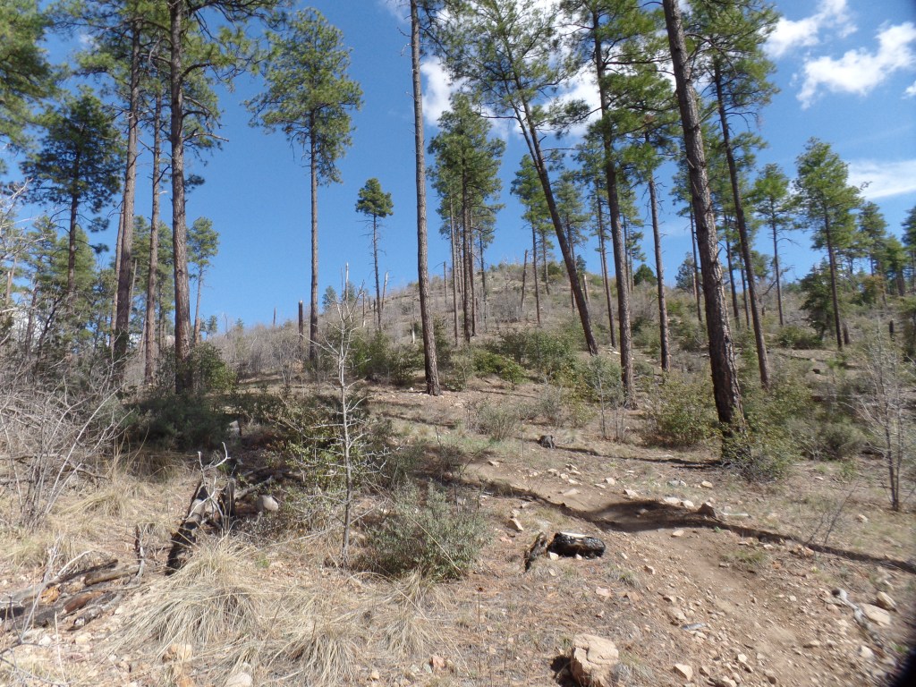
Sparse forest, north slope of Porter MountainRemnants of the Indian Fire (2002)
As I made my way up Porter Mountain’s northeast peak, also called Williams Peak, it was telling, just how severe the Indian Fire of 2002 was to this area, itself so close to the Granite Basin, which was later to be ravaged by 2013’s Doce Fire. These collective memories, compounded by the dire tragedy of Yarnell Hill (which followed Doce by two weeks), make us here in Prescott that much more grateful for this morning’s rain- and that which is expected to follow, this coming week.
Cloud, reaching up from base cirrus.
As if offering confirmation of my thoughts, a cirrus finger reached up from its base cloud, towards other clouds above.
Granite Mountain, from Williams Peak
Williams Peak offers a fine vantage point for the majesty of Granite Mountain.
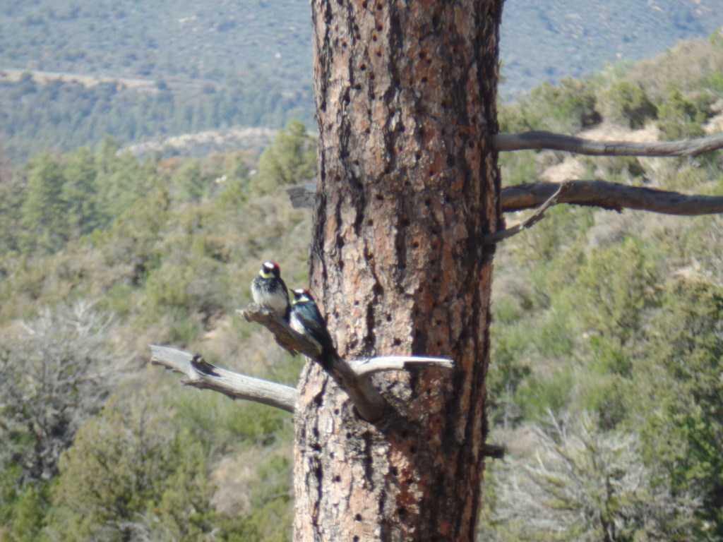
Arizona Woodpeckers, Williams Peak
A pair of Arizona Woodpeckers hung around, while I was admiring the scenery, so I obliged them with a portrait.
“Stormtrooper” Rock, Butte Creek Valley
As I headed into the Butte Creek watershed, I was watched by a Storm Trooper.
Butte Creek Road, atop Williams Peak, Porter Mountain
The trail follows Butte Creek Road, along the flat ridge of Williams Peak, until one reaches the area known as “Hilltop”, where three trails converge.
Thumb Butte, from Williams Peak
A clearing on Butte Creek Road afforded the best view of Thumb Butte, from the west. It is two miles northeastward, from here.
Butte Creek
Crossing Butte Creek, one heads into slightly more heavily forested, and somewhat more rugged, terrain.
South Ridge, Williams PeakManzanita Creek Canyon, near Dugan Camp, Copper Basin
Manzanita Creek Canyon is on my list of “picnic hike” spots, during the second half of June. Dugan Camp, about a half mile southwest, is still an active resting place for trailer campers.
Apparent ruin of miner’s cabin, south of Manzanita Creek
This area has been popular with campers and miners alike, especially during the heyday of Copper Basin, in the early 20th Century.
Heart-shaped granite, near Copper Basin Road
There was another confirmation, waiting for me, close to the turnaround point, near Copper Basin Road.
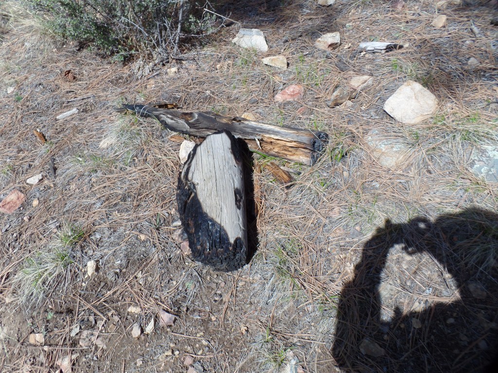
Stump, from 2002 Indian Fire
This stump stands as a silent sentinel, to warn humans of the lasting effects of careless camping and shooting.
Finally, in the spirit of Asian artists who leave a flaw in each of their works, here is a scene of one of the three herds of deer, who crossed my path on the hike back to Thumb Butte Road.
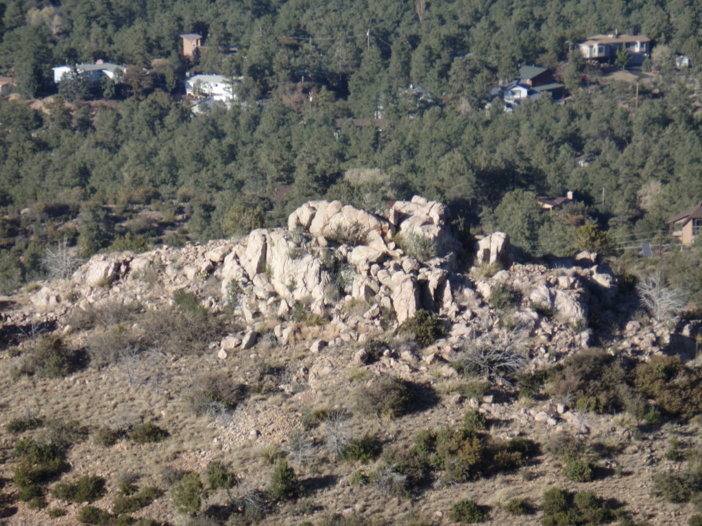
April 9, 2016, Prescott- Last Sunday, I threw in a 1-mile round trip side trail, to my Prescott Circle jaunt. Quartz Mountain is a unique promontory, in the mostly pine-clad, dry-soil terrain that is prominent in the western half of Prescott Circle. It appears to be the remnant of a volcano, which also makes sense, given that quartz is scattered from White Spar to an area just west of Thumb Butte.
I had the brief company of two men and three children, who had been atop the mountain for an hour or so, studying the quartz and learning of the different colour blends. Most, as you will see, are white quartz, though there is a fair amount of pink, and some two-tone.
East side of Quartz Mountain
I checked out this area, just below the summit, before heading up.
View from east slope of Quartz MountainGranite outcropping, north slope of Quartz Mountain
The views from any point near the summit are thrilling.
San Francisco Peaks, from Quartz Mountain
Now, here are several scenes of the summit.
Southwestward, from Quartz Mountain, towards Sierra PrietaView of Quartz Mountain summit crest, from just underneathAgave and prickly pear cacti, Quartz Mountain summit
As you can see, the desert aspects of Prescott’s status as a transition zone are quite prolific, even at 6,000 feet.
This little gem is one of several good reasons for side hikes, off the main Circle Trail system.
As it happened, today (April 9), was a good day for Segment 3 of the Circle. It’ll be featured in the next post.
April 6, 2016, Prescott- While we were living in Phoenix, in 2002, news came of a horrific wildfire, that was bearing down on Prescott: The Indian Fire. It could easily have swept through Thumb Butte and down Copper Basin, slamming full force into downtown Prescott. That didn’t happen, thanks to the Forest Service, and the fates of Nature. As it was, though, the Indian Fire seared a large area between White Spar and Copper Basin, leaving several square miles of sticks in its wake.
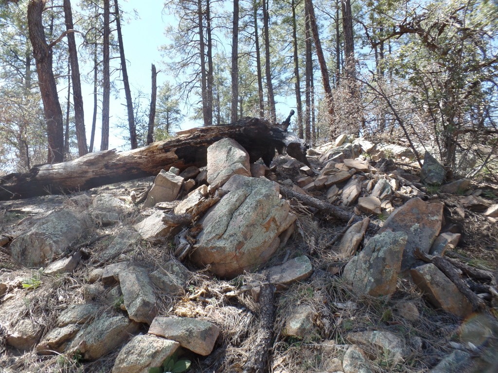
On Sunday afternoon, I walked in some of the same areas affected by the Indian Fire. Wolverton Mountain rises above the trail, though no family named Clowers lives there. Quartz Mountain is reached by a side trail, about 1/2 mile south of Wolverton. Both peaks were singed in 2002.
I began at the Copper Basin end of the segment, starting out on the Aspen Creek Trail. The creek comes down, from the western base of Wolverton Mountain, and flows down towards Granite Creek and downtown Prescott. The creek is barely flowing, and indeed, the ground in this area is badly in need of a soaking.
Trailhead, Aspen Creek TrailGray granite, Aspen Creek Trail
I came soon enough to the upper reach of Aspen Creek Canyon.
Aspen Creek CanyonAspen Creek Canyon, PrescottAspen Creek Canyon, Prescott
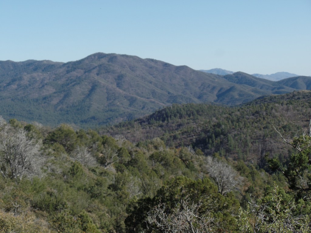
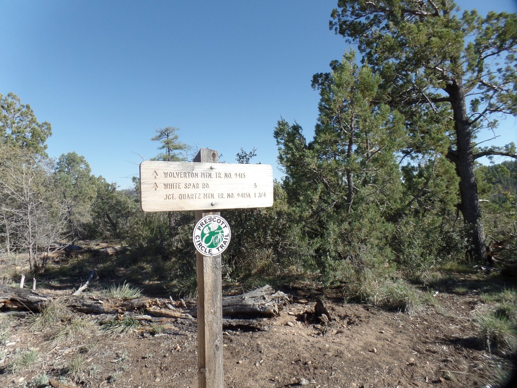
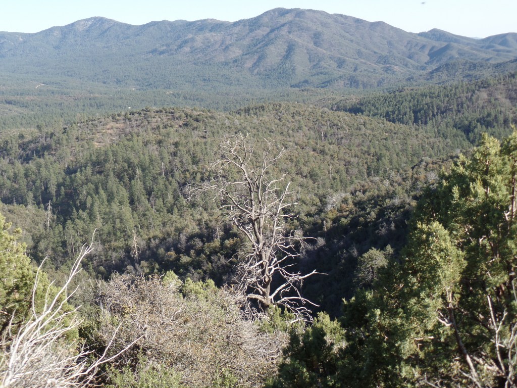
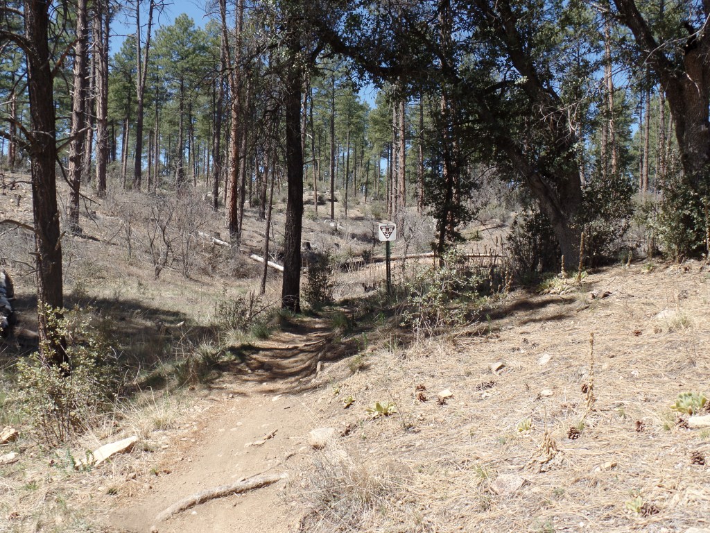
As the sun was getting a bit lower, I came to the junction with Wolverton Mountain Trail and Quartz Mountain side trail. Walking along the Wolverton, I had several fine views of the high ridge of the Sierra Prieta Range, of which these peaks are an eastern offshoot.
Sierra Prieta RangeJunction of three trailsSierra Prieta Range, from Wolverton Mountain Trail
A glimpse of Wolverton Mountain’s practical use was visible from the trail, though the summit itself will be the focus of a future hike.
Summit of Wolverton Mountain, from trail.
Shortly after passing Wolverton’s eastern edge, I came to Quartz Mountain Trail. This unique promontory will be the topic of the next post.
April 5, 2016, Prescott- This past weekend, I was able to break this 6-mile section of juniper pine forest, quartz and gray granite into two hikes. It was prudent, due to a commitment here in town, each day. It also gave me more time to focus on the features of each part of the segment.
Saturday’s jaunt began at White Spar North Trailhead, going 3.5 miles to the junction with Quartz Mountain Trail. The entire segment is Wolverton Mountain Trail, about which more later.
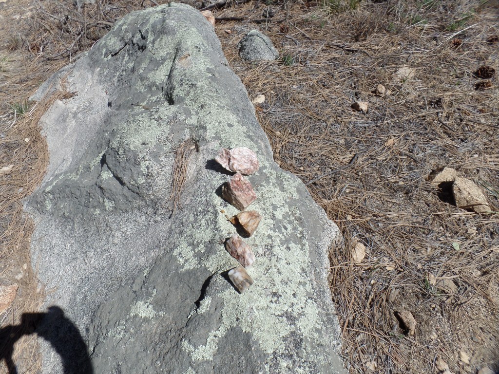
Trailhead, north of White Spar Road.Pink quartz arrangement, near White SparGray granite outcropping, 1/4 mile northeast of White Spar
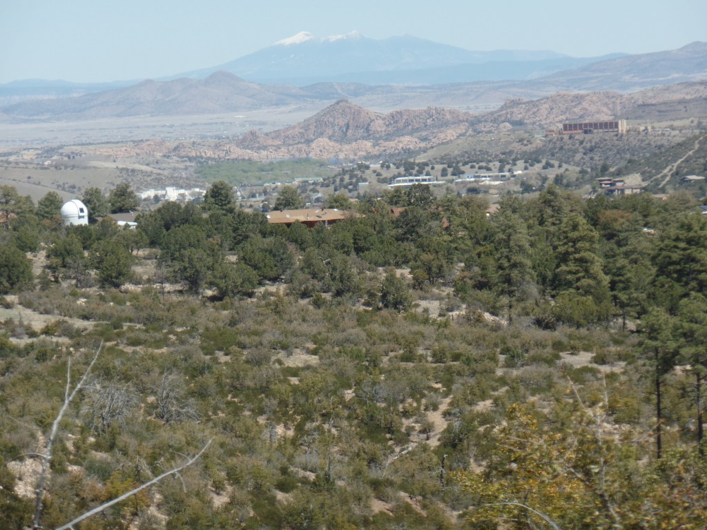
Above, are three scenes at the south end of the trail. Even this close to White Spar, there are many small fragments of pink quartz. The trail is rather flat, for the first 2 miles or so, until past this magnificent view of a local observatory, privately-run, and of the majestic San Francisco Peaks, seventy miles northeast, as the hawk flies. The Granite Dells may be seen, holistically, in the midground.
Northeastward view, from Wolverton Mountain Trail, Prescott
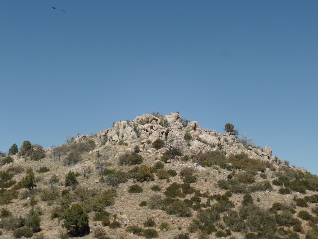
The East Peak of Quartz Mountain, seen in the next two frames, signals a slightly more rugged terrain.
East Peak, Quartz MountainEast Peak, Quartz Mountain
I noticed small wonders along the way, as well, including this white quartz(below) and the upper jaw bone of a hapless raccoon, which I have left out of this gallery.
White quartz, at foot of East Peak, Quartz Mountain
This area was filled with blooming manzanita, another special treat.
Manzanita in bloom, near Quartz Mountain
The stopping point gave me incentive for a Sunday completion of the segment, starting then from Aspen Creek Trailhead, off Copper Basin Road. As this was done after a Sunday brunch, I was grateful for a somewhat more strenuous trail.
April 4, 2016, Prescott- I got my photo loading device on the laptop fixed, this evening, so a hiking post, or two, is in the offing for tomorrow and Wednesday. Today, though, is a time for mentioning something unexpected.
I went to work at our intermediate school, this morning, only to be told my services were not needed there, due to the convoluted situation in which they found themselves. On a whim, I asked the secretary to call HR and see whether they had any other needs for the day. HR asked me to go to Prescott High School, and help in the Resource Center.
It turned out that the lead teacher there thought I was her new assistant, for the rest of the academic year. I said I would be available, about 90 % of the remaining time, given a few “word is my bond” obligations elsewhere. Both the teacher and the office manager seem fine with that, so I did my job today and will work three more days this week, and 4-5 days a week there, the rest of this month and all but five of the school days in May.
Those who wait, with open eyes and ears, can be rewarded.