Mesa Verde’s Wetherill Side- Part 1, The Gate to Step House

10

Wetherill Mesa, on the west side of the park, is one of the more patience-building areas in our National Park system.  This is because it’s off-limits, much of the year, and is only open 6 hours a day, when it is accessible.

I recognize the reason- the narrow road, with sheer drop-offs in spots, would be horrific places to end one’s life.

Here are some scenes from this final stop on my earlier spiritual quest, on August 1.

This is in two parts.  First, from the gate to the trailhead for Step House, one of two preserved ruins at Wetherill.

SAM_6289

SAM_6290

SAM_6292

A hawk graced the sky overhead, on that warm day.

SAM_6294

SAM_6295

SAM_6297

SAM_6298

SAM_6300

Much of the area was ravaged by wild fire, in 2011.

SAM_6303

Much of it is coming back, however.

SAM_6304

SAM_6306

SAM_6311

There are a fair number of pictographs and petroglyphs, along the approach to Step House.

SAM_6312

SAM_6314

SAM_6315

SAM_6319

Next: Step House’s Preserved Ruins

Chimney Rock National Monument

8

This abandoned settlement, east of Mesa Verde, predates the larger sets of ruins by 300-500 years.  The settlement was built by people known these days only as “Ancient Puebloans”. They are regarded as the ancestors of those who built Mesa Verde and of the modern Zuni,  Keresan and Tewa peoples, of New Mexico.

Here are some scenes of the area, taken during a guided tour, on August 1.  All tours begin and end HERE.

SAM_6253

Then, visitors pile into their vehicles and follow the guide, up the road.  Scenes like this may be had, from the upper parking lot, near the first ruins.

SAM_6255

SAM_6256

Here is an example of an unexcavated house site.

SAM_6257

It was pretty hazy on that day, but one could get a sense of the ruggedness of this area.

SAM_6265

SAM_6268

SAM_6257

Here’s a semi-excavated site. ^  Below, is a marker, used by the ancients, for astronomical positioning.

SAM_6258

Here is one of the granite formations near the first set of dwellings.

SAM_6259

Now, we are at the major set of structures, including the kivas and larger dwellings.

SAM_6260

This limestone bench made for a good resting place, for some of the disabled members of our tour group.

SAM_6270

SAM_6273

This alcove, on the south side of the Great House, was intended to provide support for the structure.

SAM_6278

SAM_6281

Here are some shots of the Grand Kiva, the major ceremonial site in the complex.

SAM_6282

SAM_6283

SAM_6285

These granite formations are among those which give Chimney Rock its name.

SAM_6288

Once I had finished here, one more goal remained on this spiritual journey:  Wetherill Mesa.

From Home to Home, and Back, Day 13: Gloucester, Part 2- Stacy Esplanade and Stage Fort Park

6

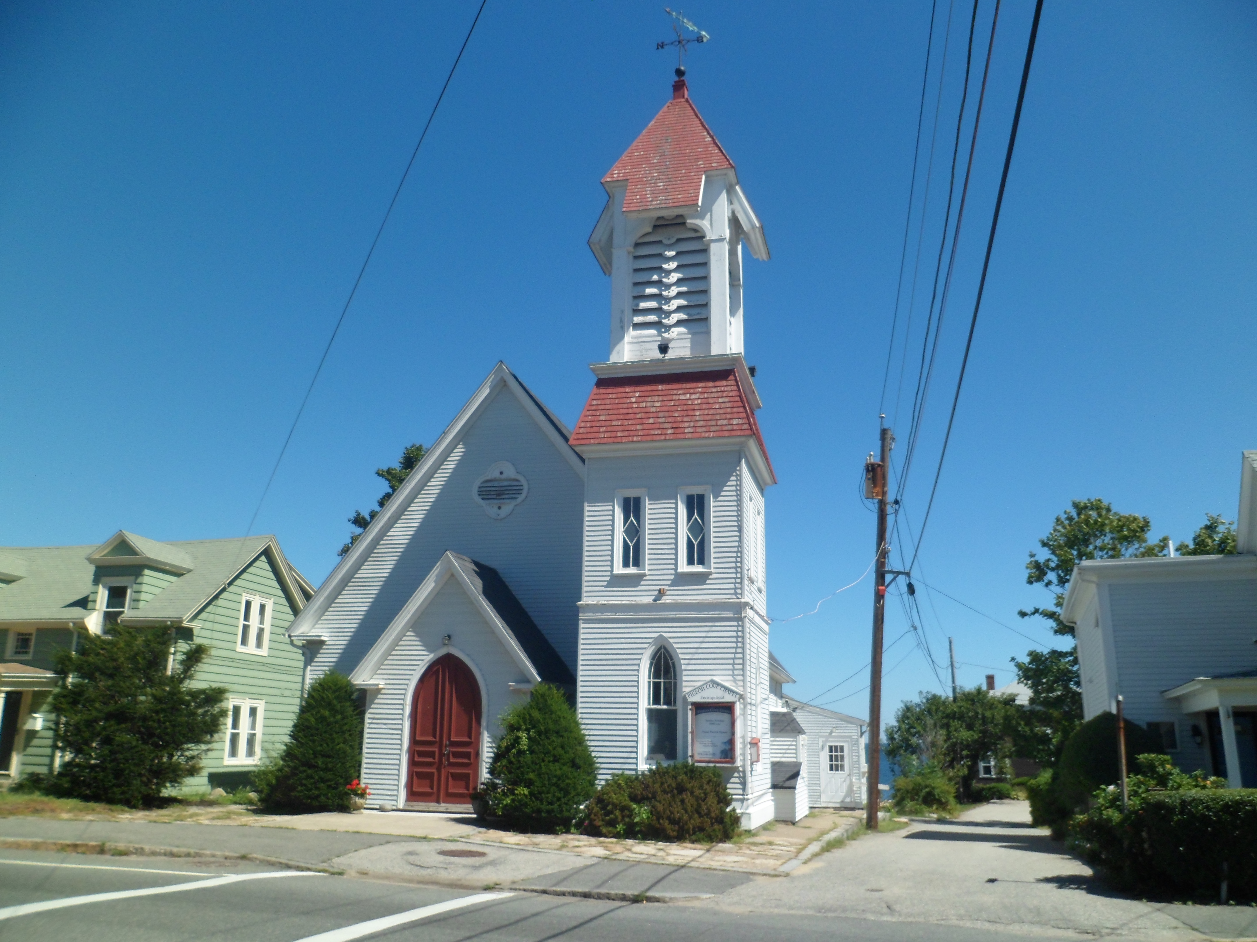
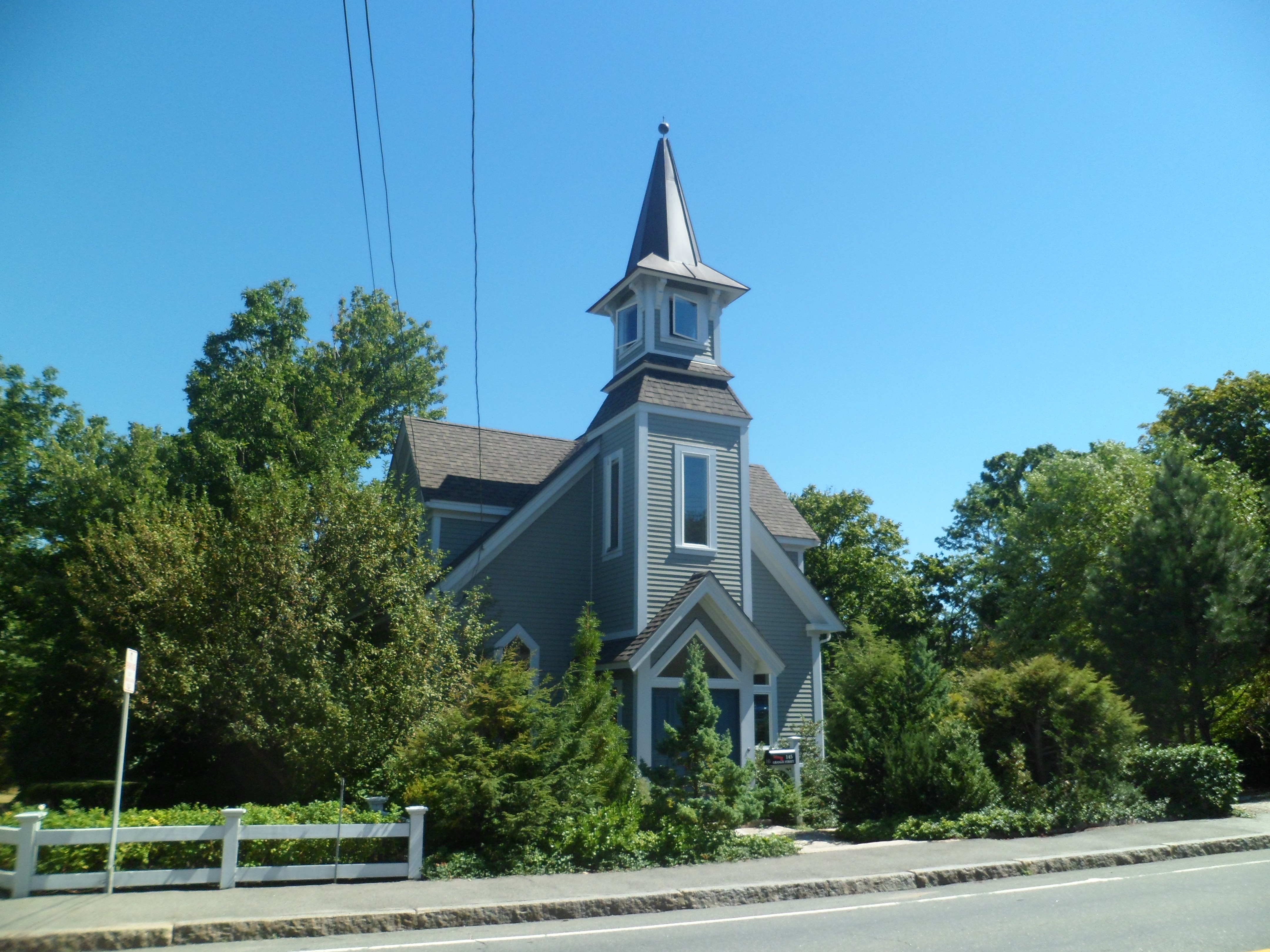
Gloucester is a walking town, though if it hadn’t been, I’d have made it so.  As it is, Stacey Promenade, named for a local hero, guides one along the harbor beach.  South of the beach, Stage Fort Park has trails that wind around, the cliffs above Gloucester Harbor.

Here we go- scenes from the afternoon of September 4.

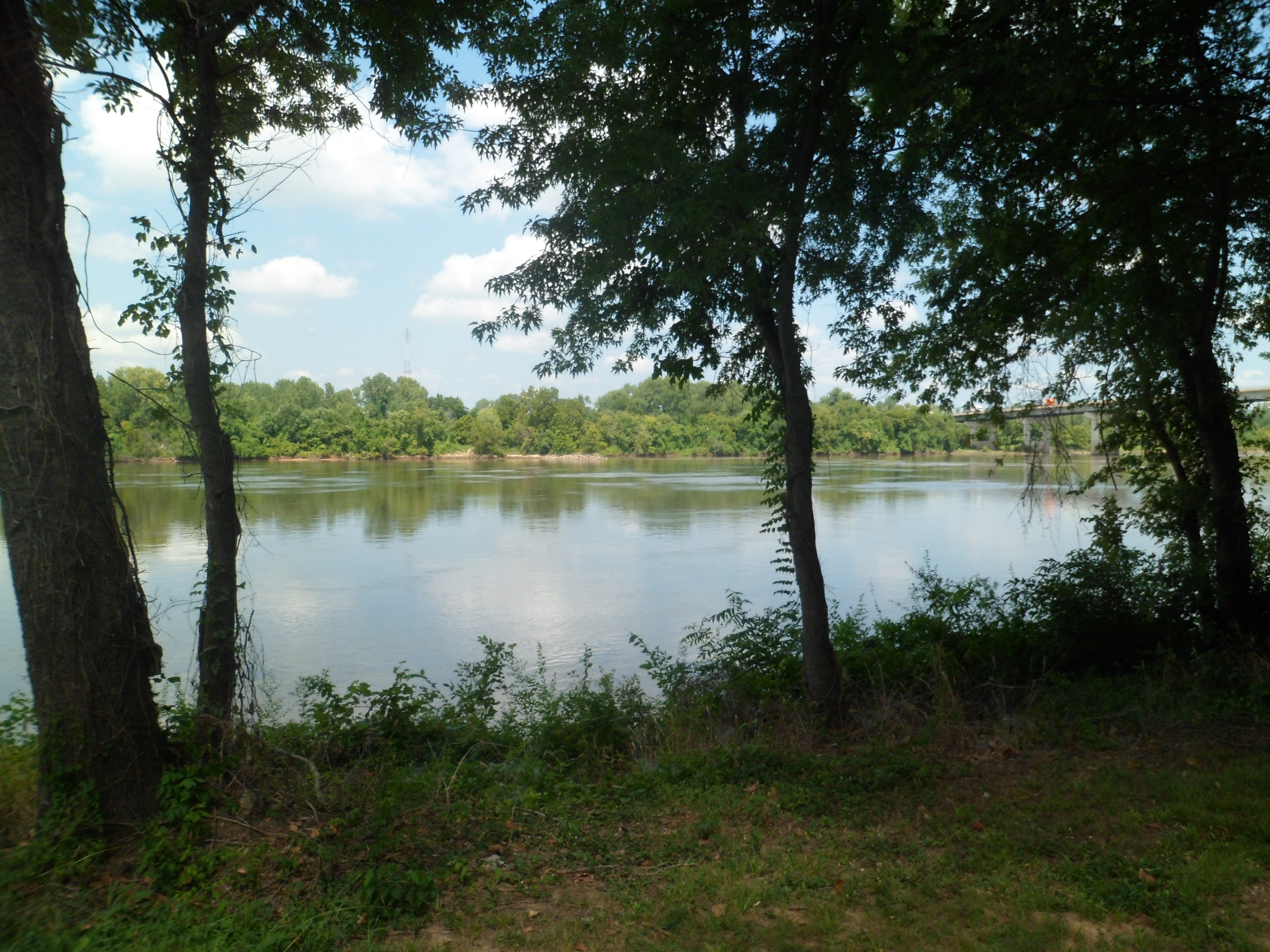
Meet Gloucester Harbor.

SAM_6742

SAM_6743

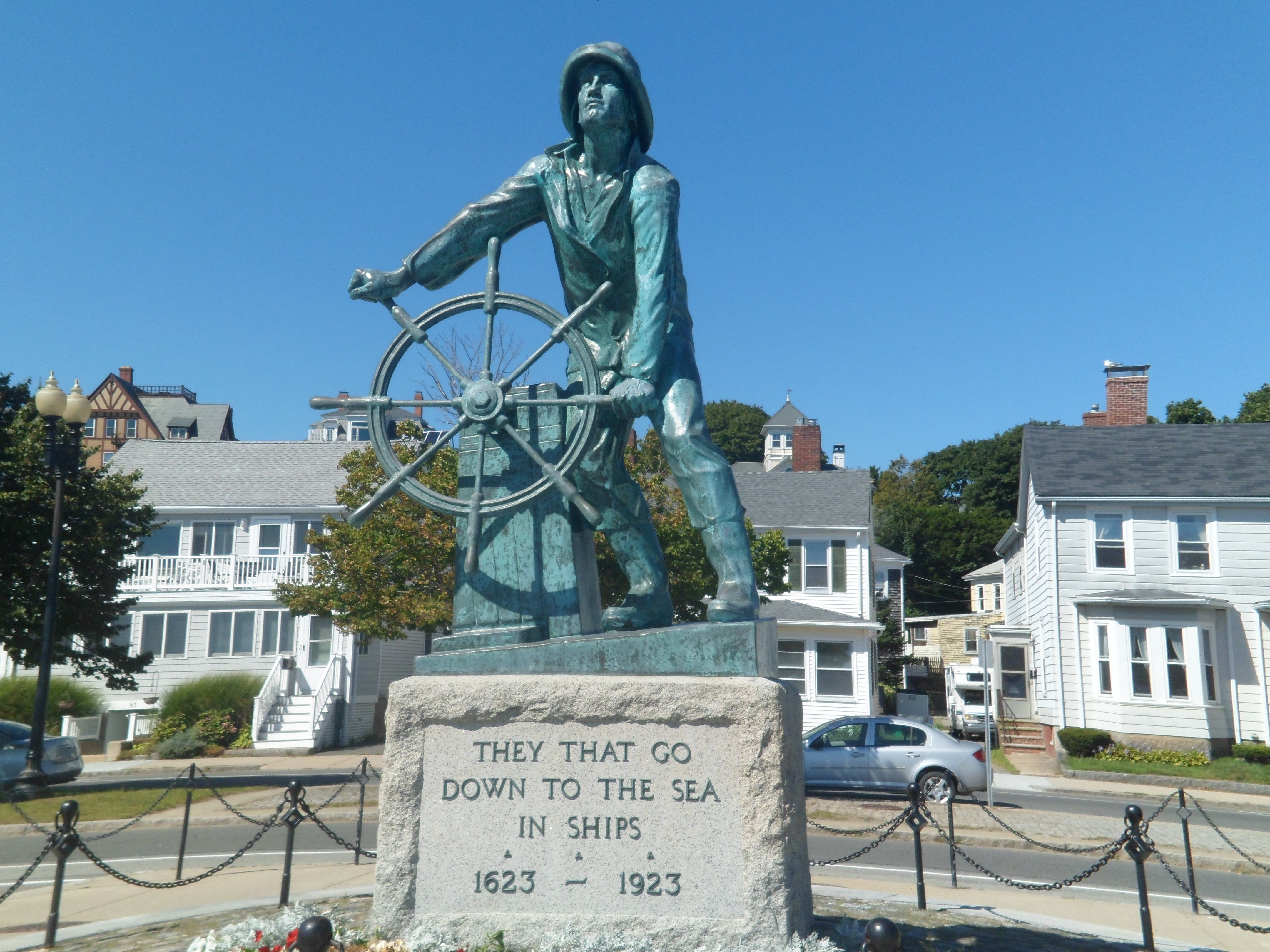
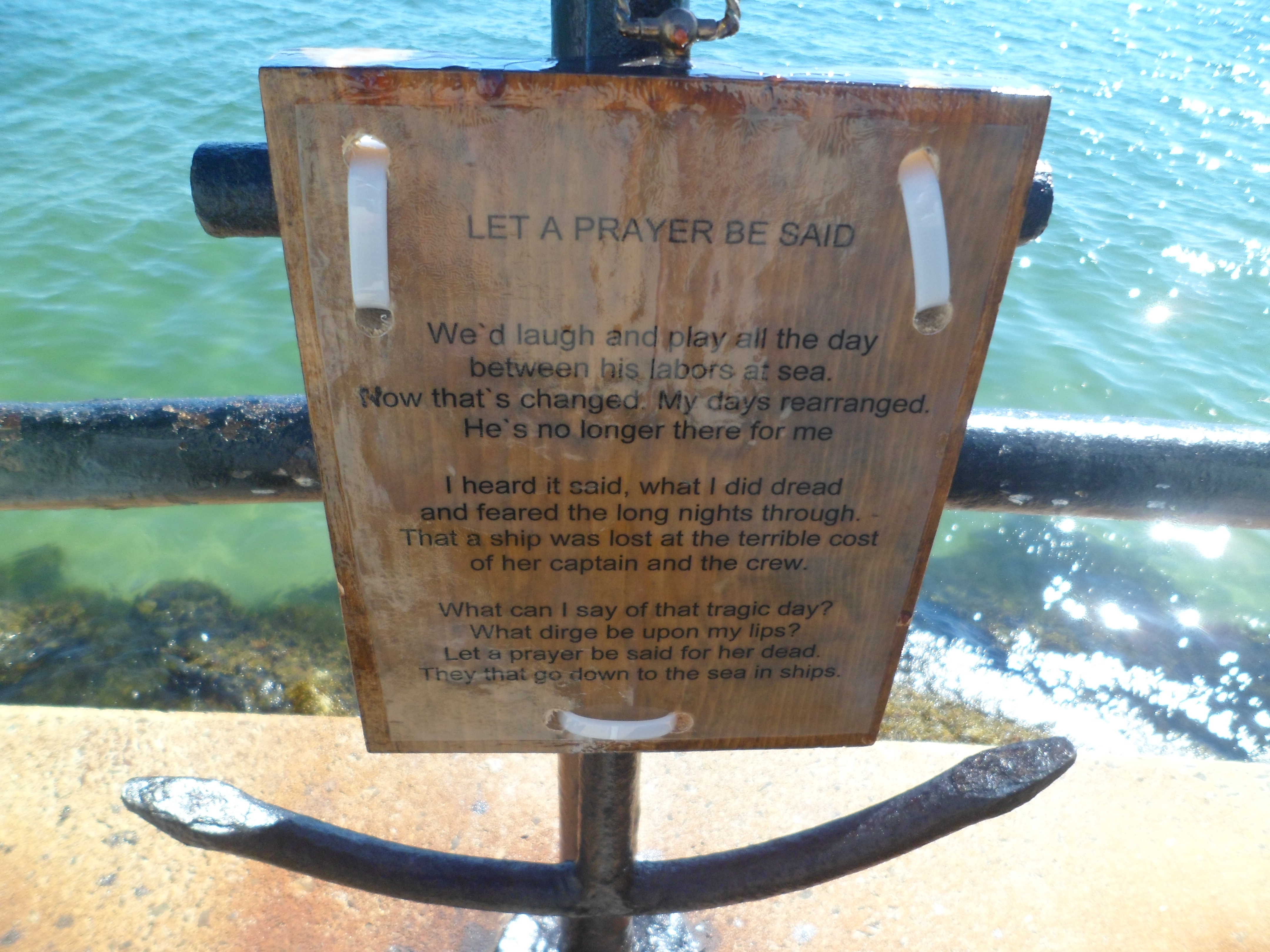
There are two stand-out statues along Stacy Esplanade.  The first is the Fishermen’s Memorial.

SAM_6745

SAM_6746

A shoutout is here, to George O. Stacy, for whom the Esplanade is named.

SAM_6747

The second important statue commemorates the wives of fishermen.

SAM_6749

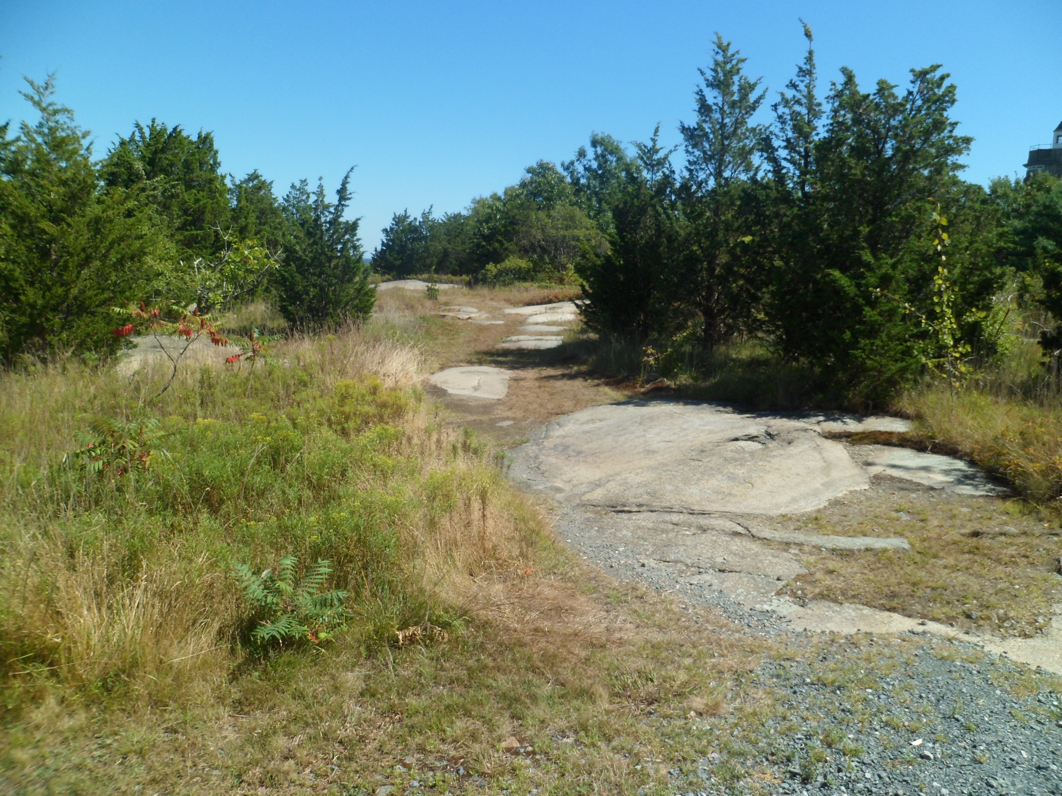
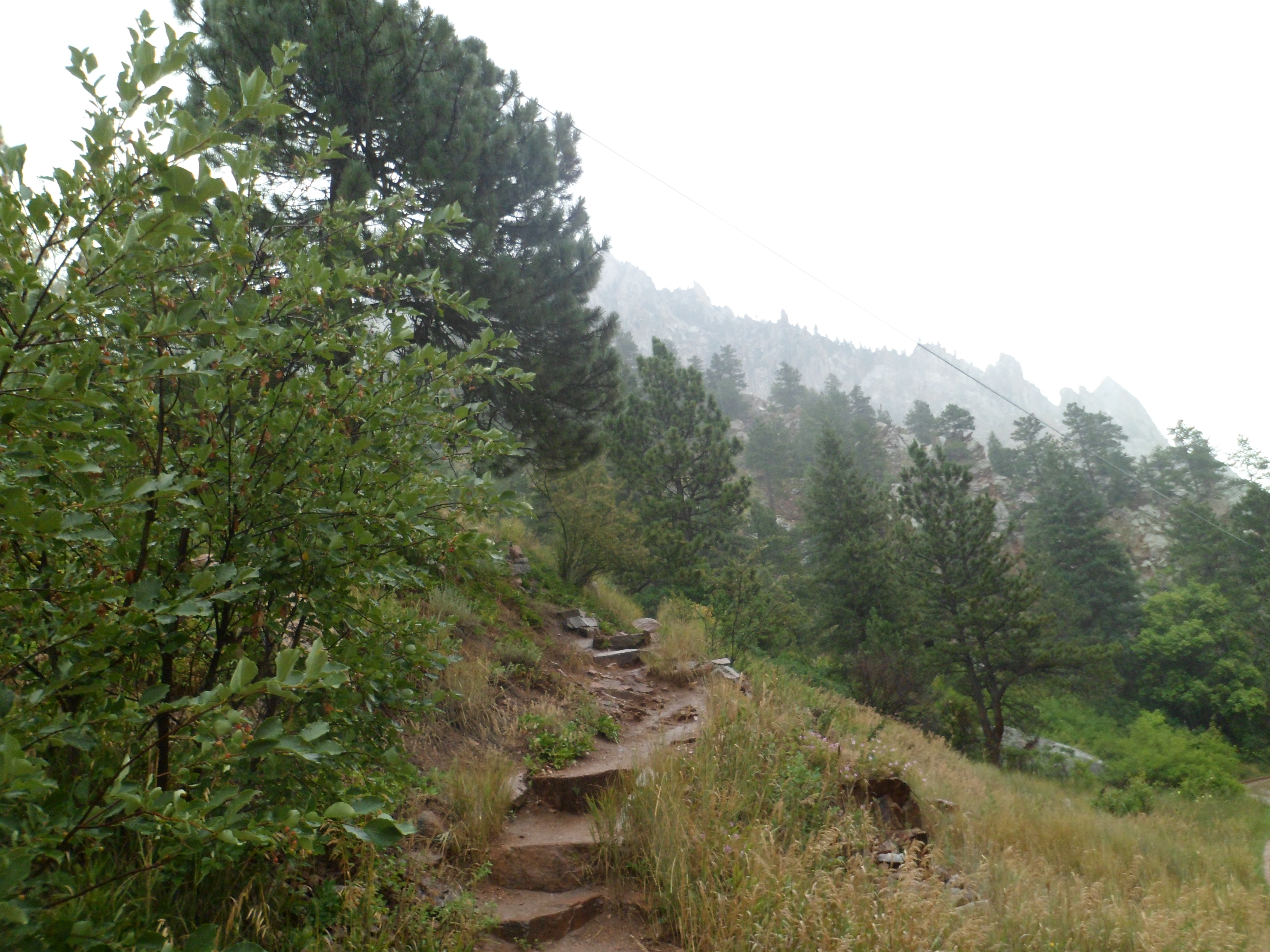
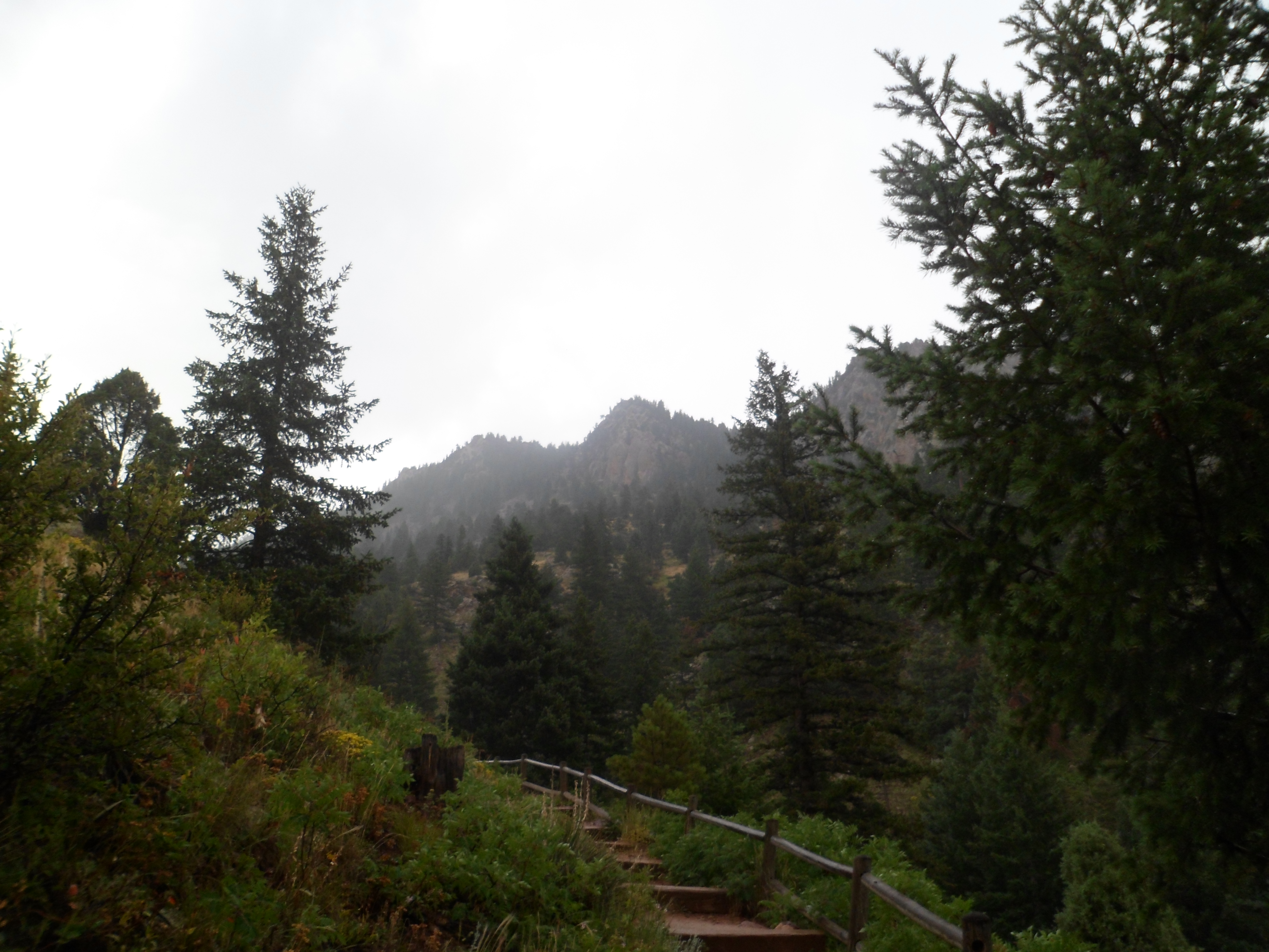
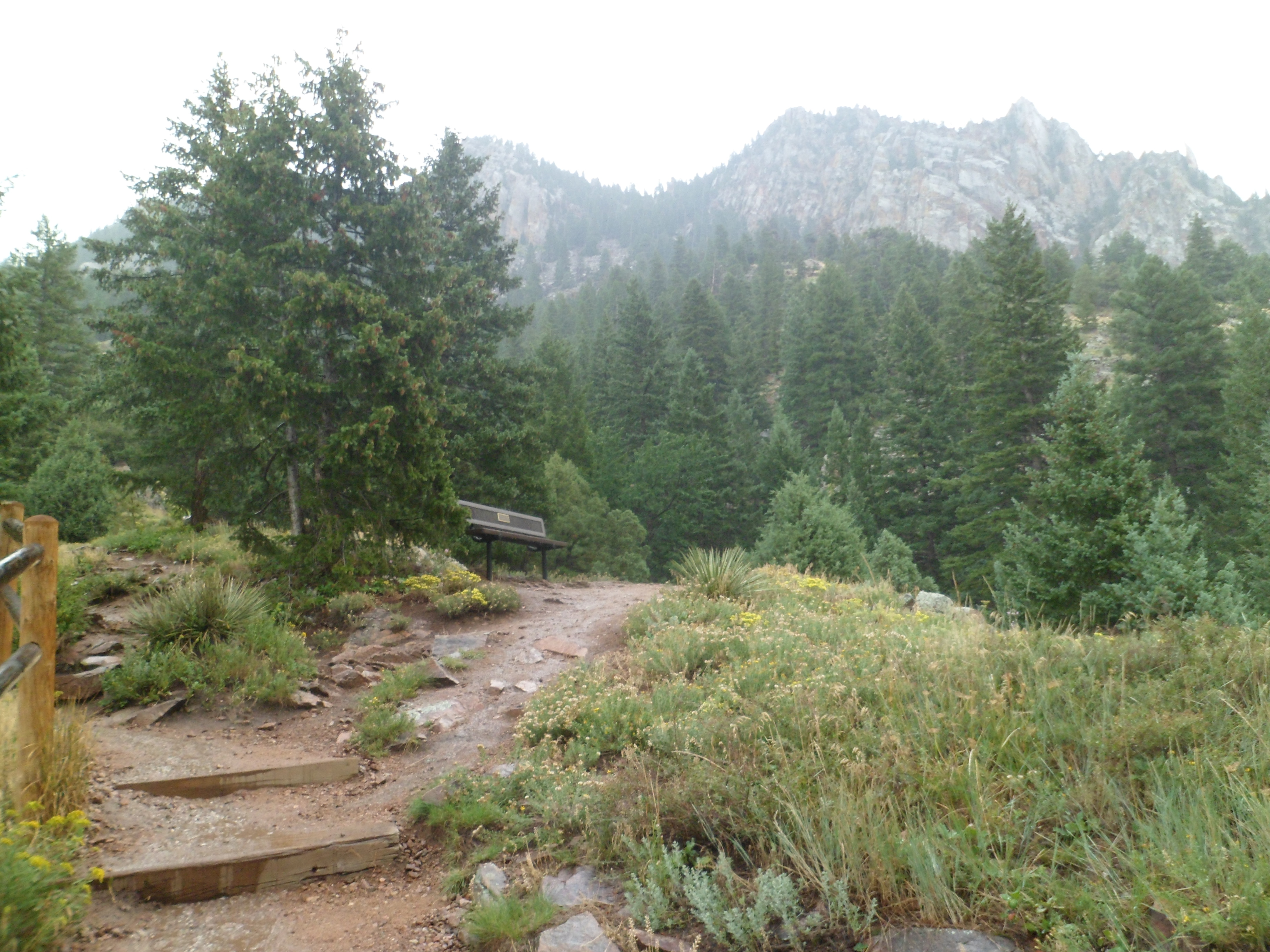
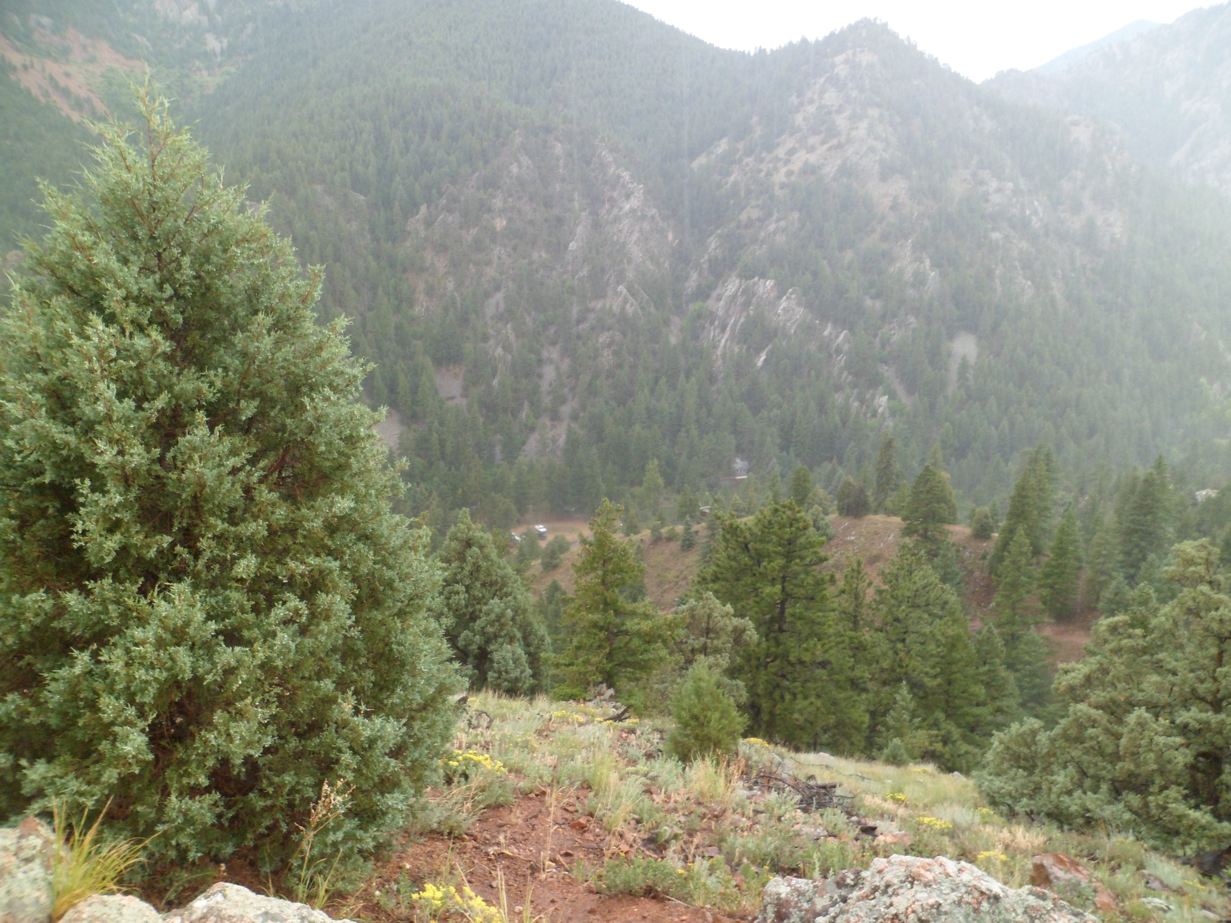
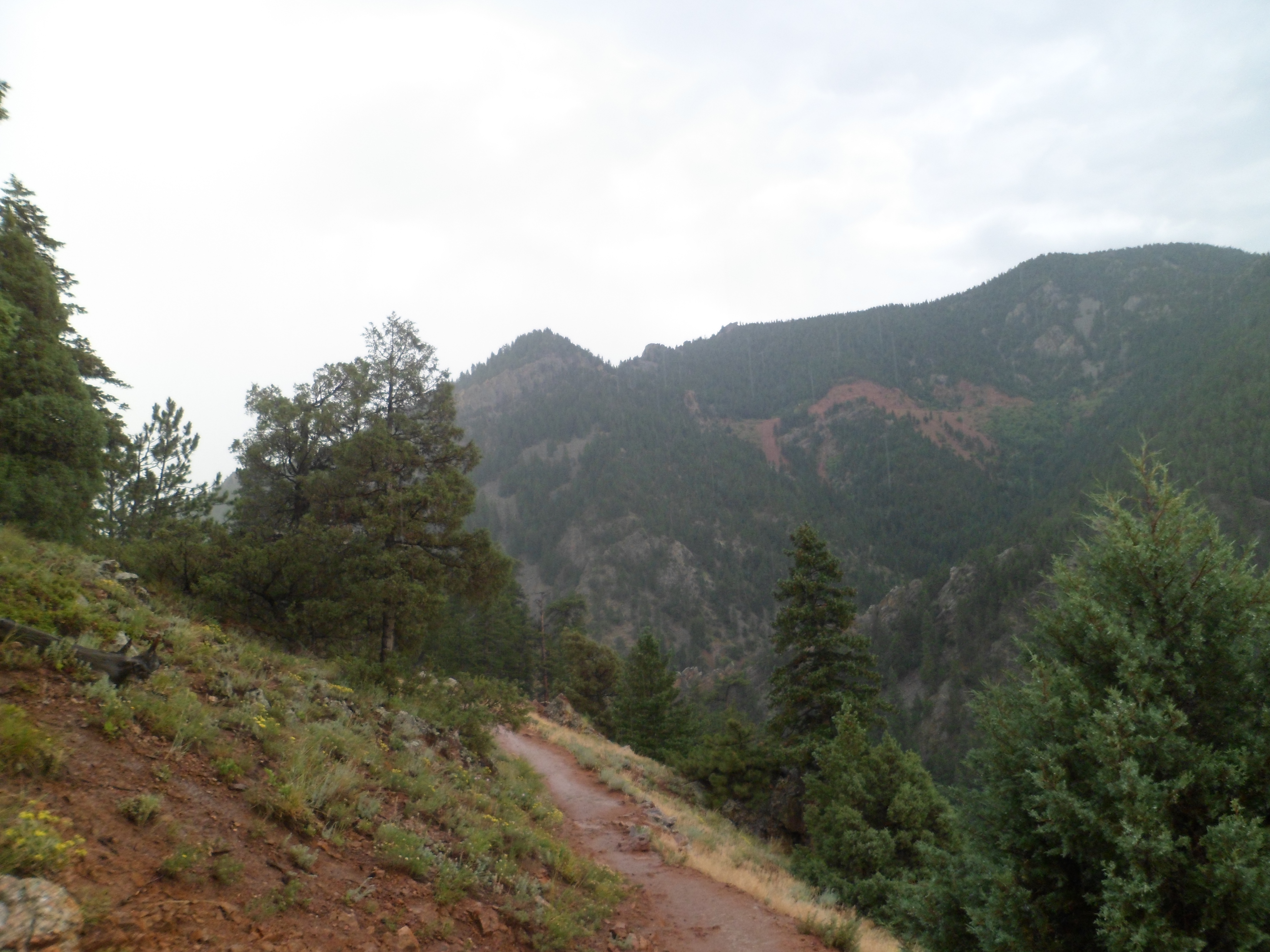
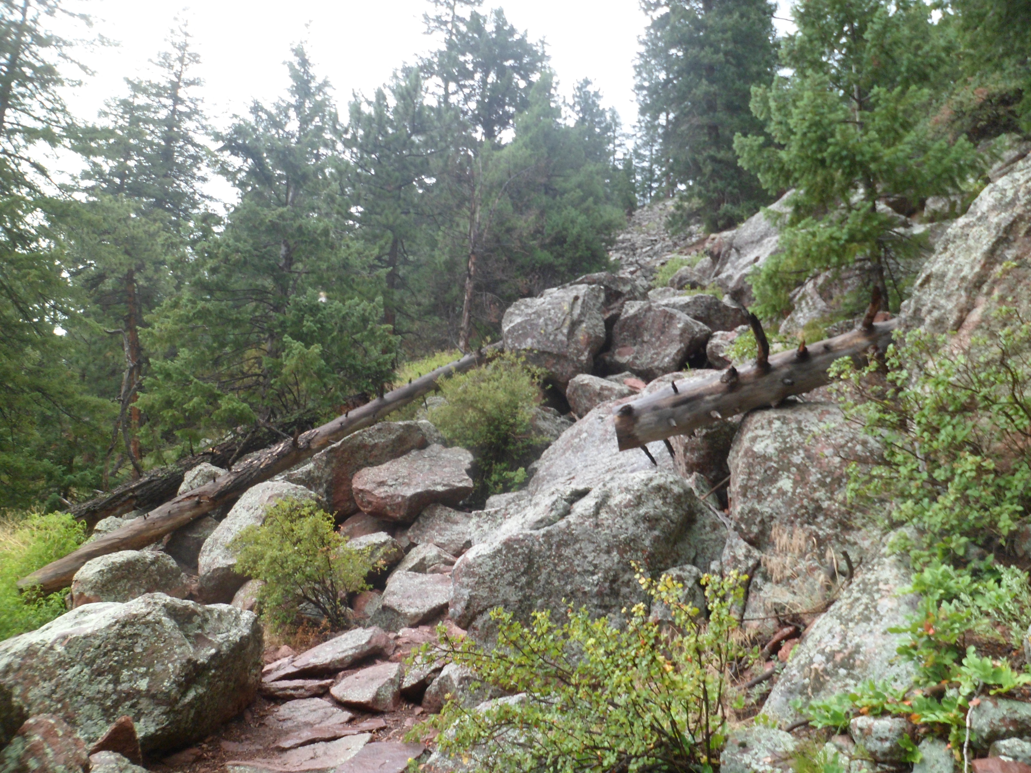
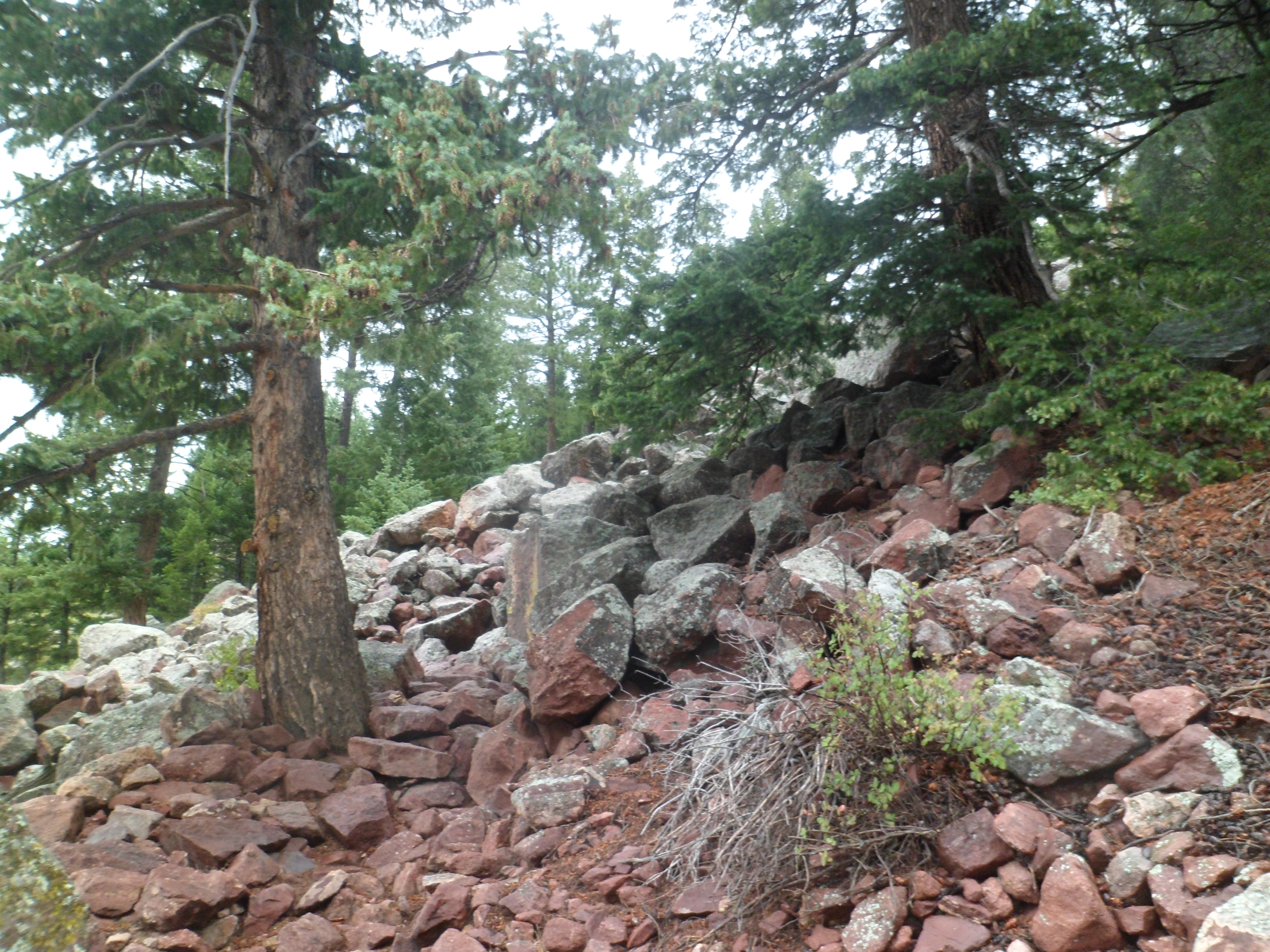
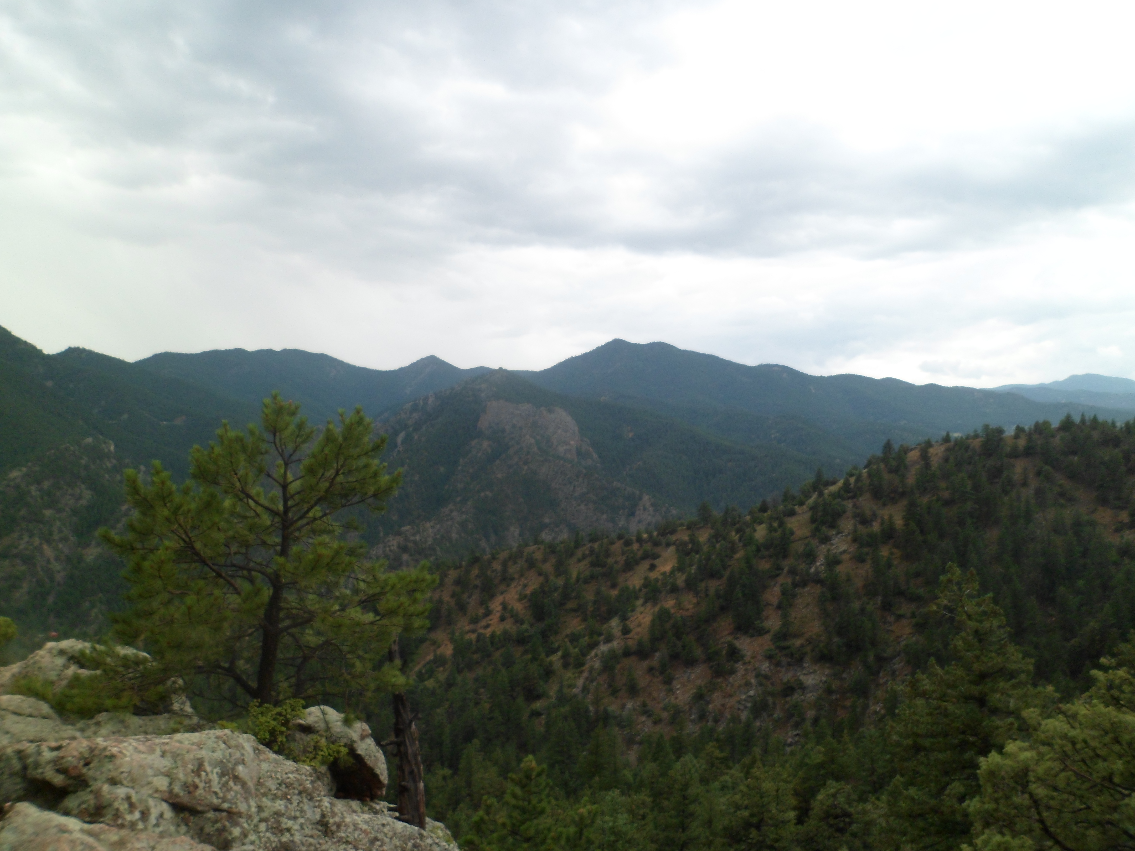
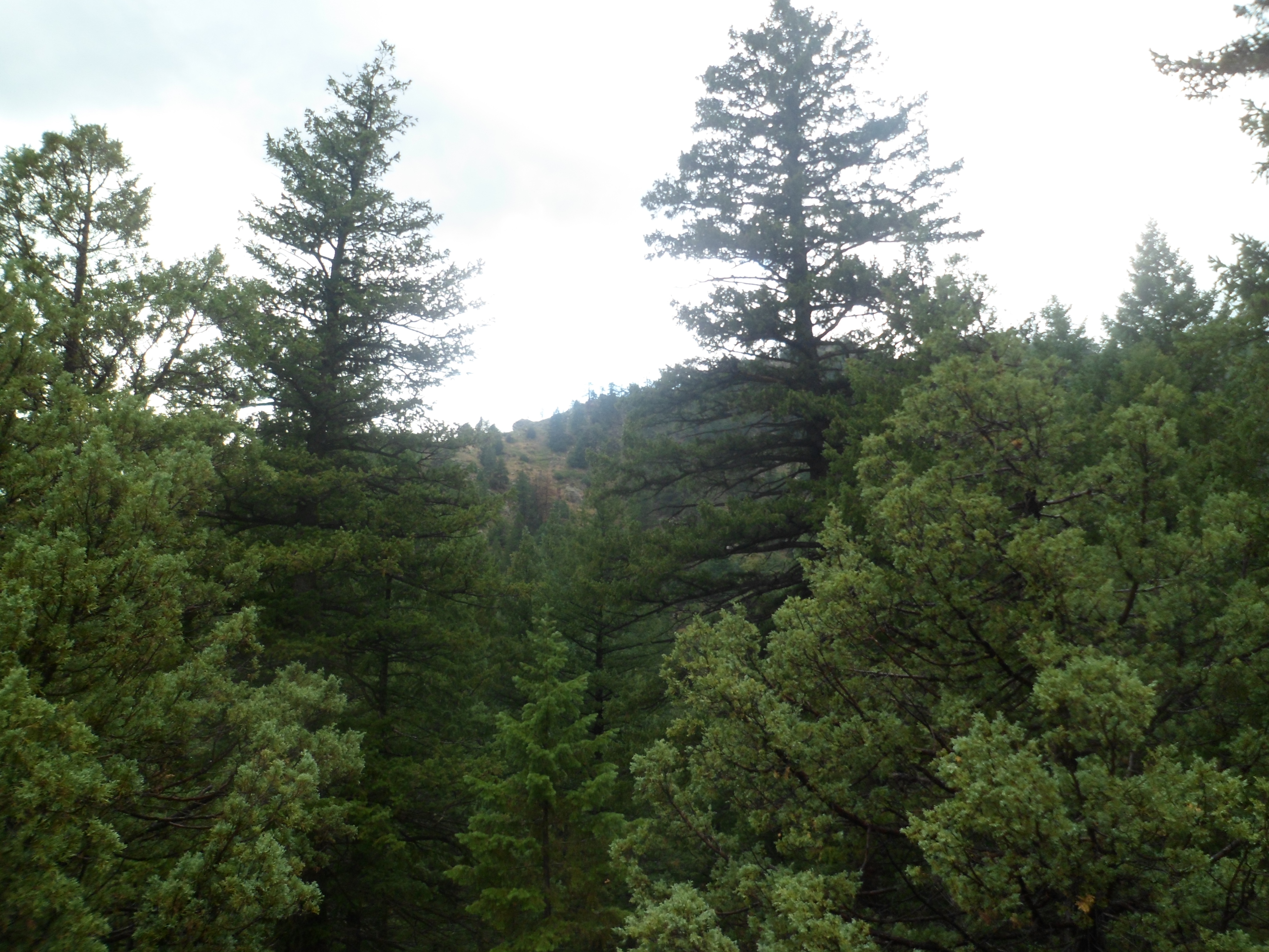
Once the Esplanade ends, Lucy Brown Trail begins, and takes one into Stage Fort Park.

SAM_6751

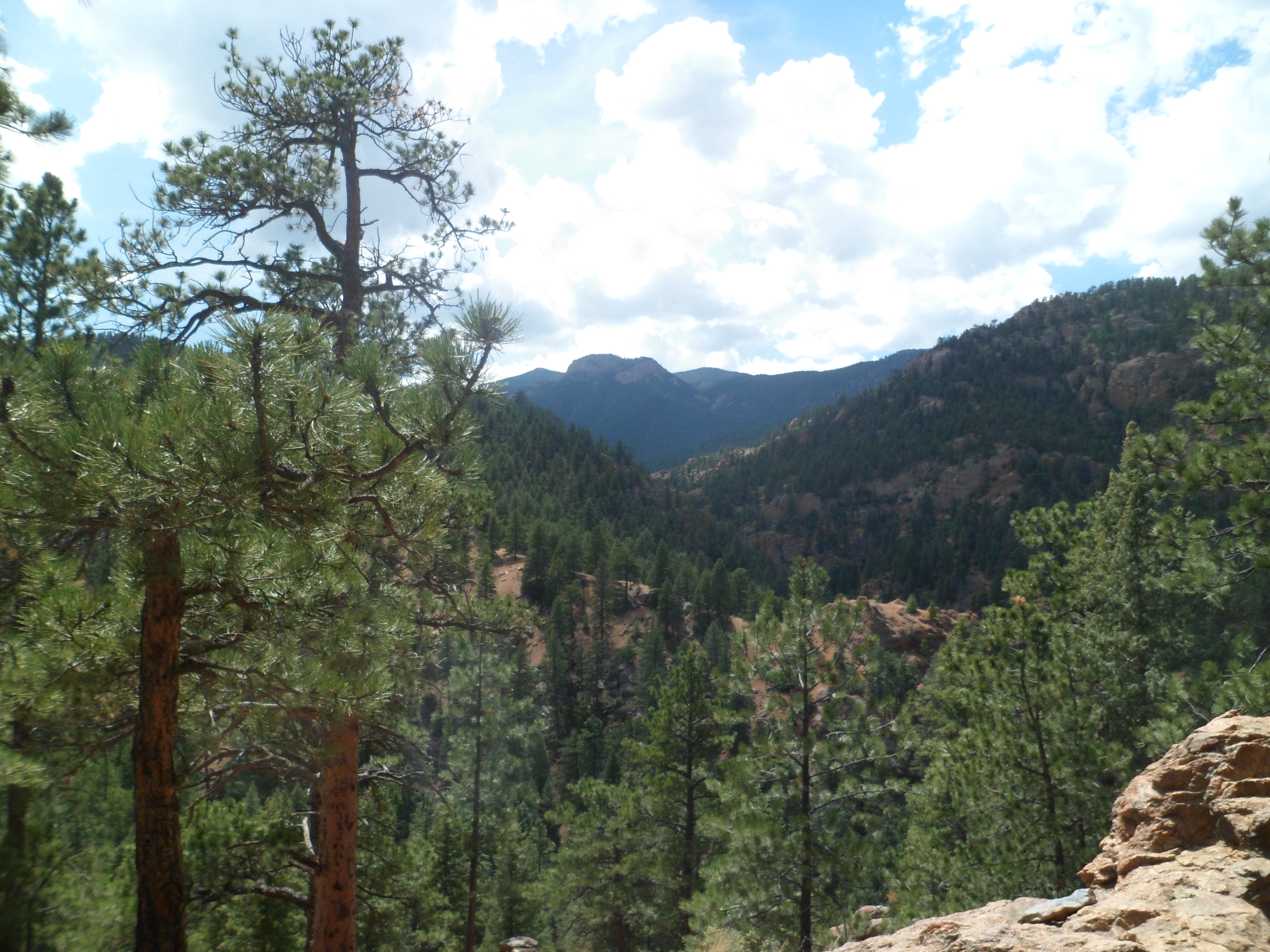
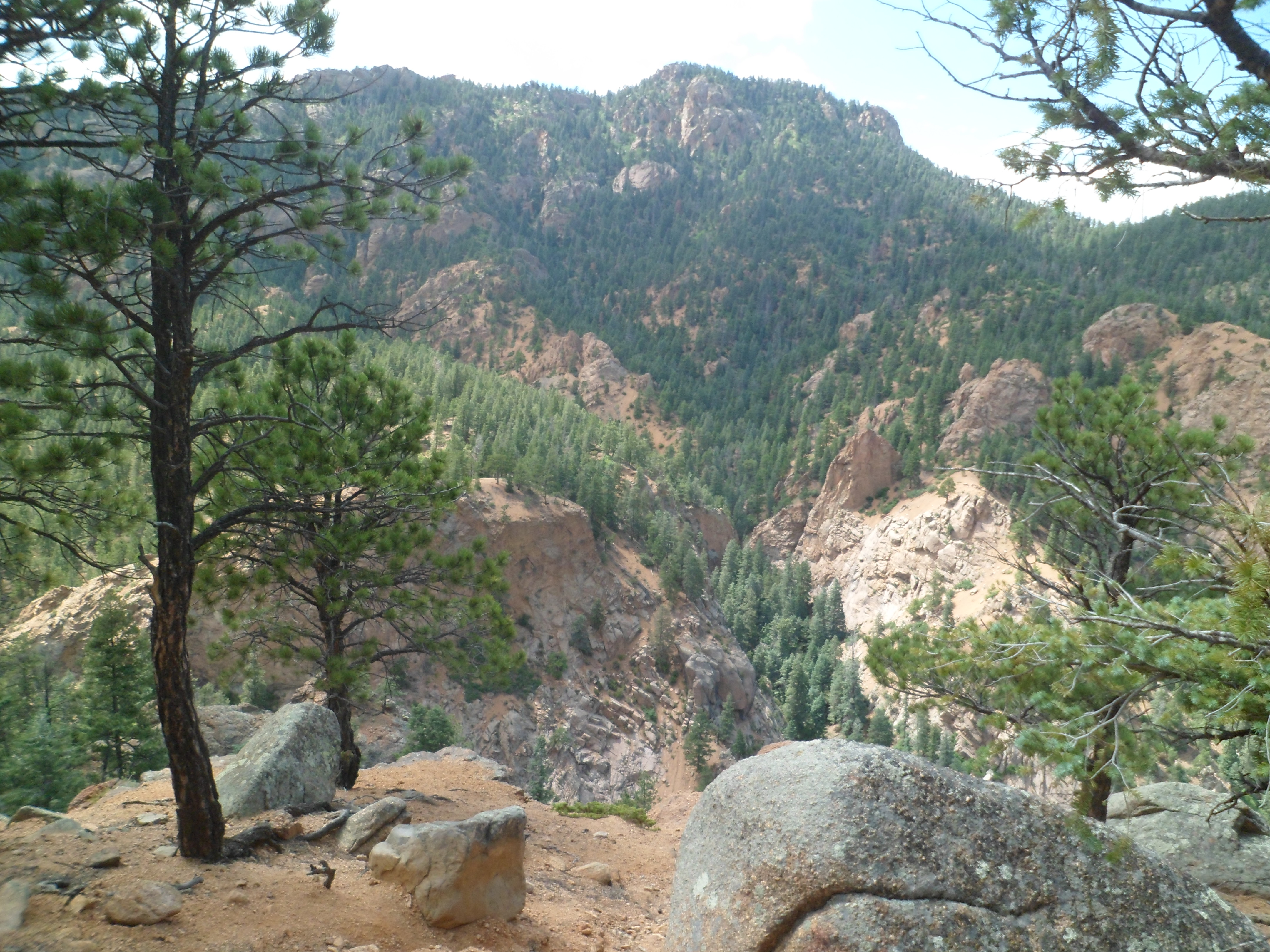
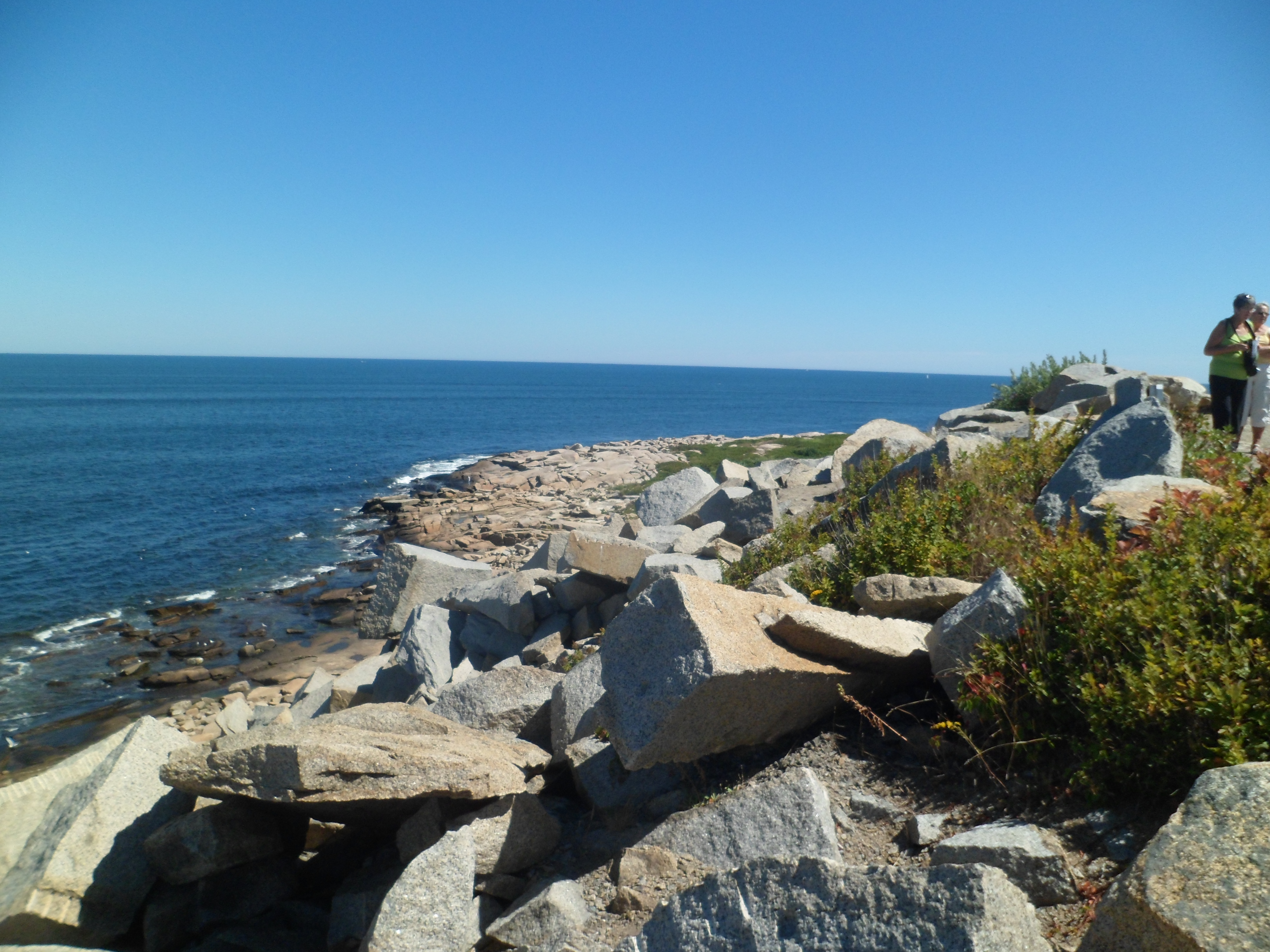
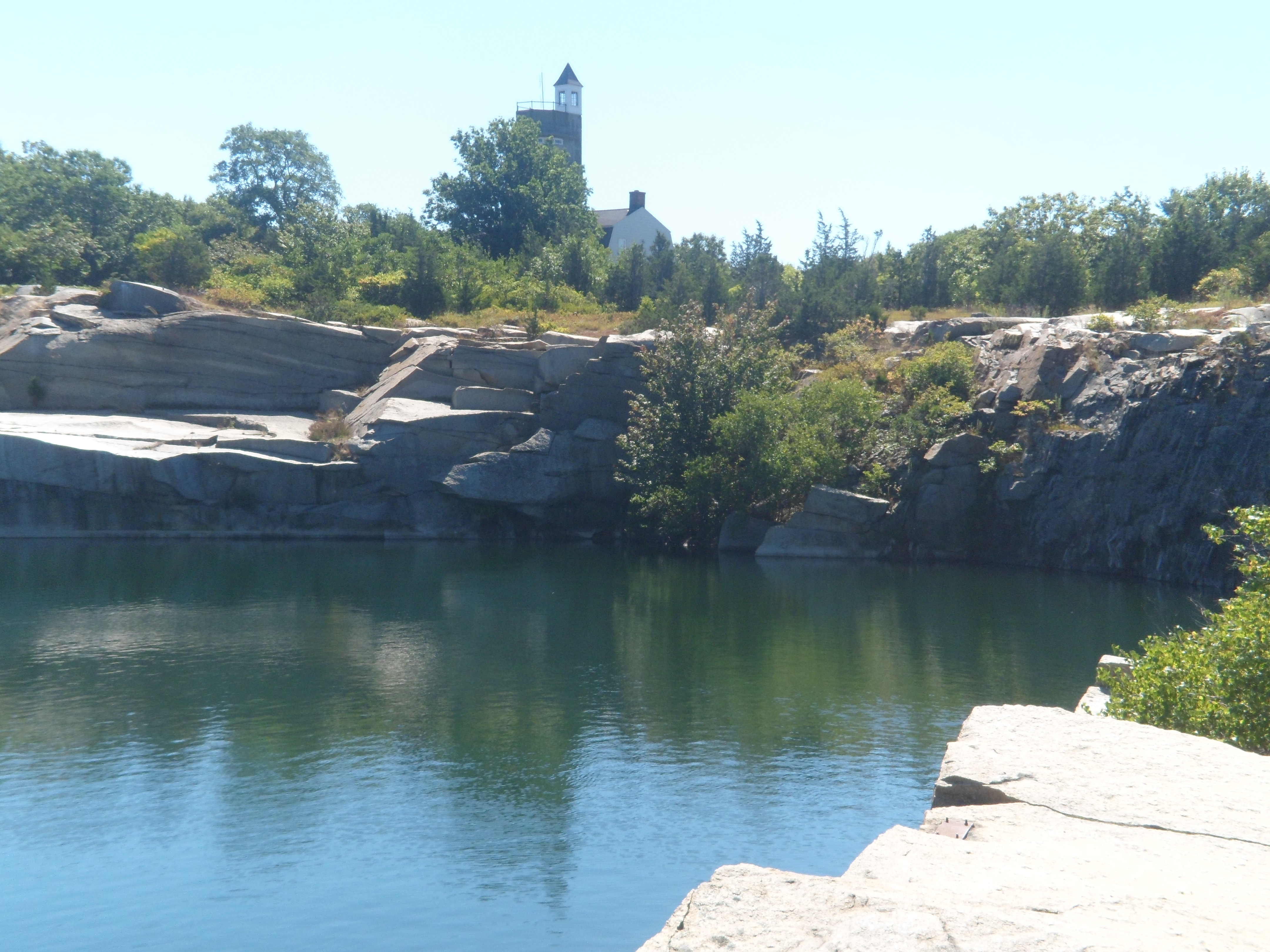
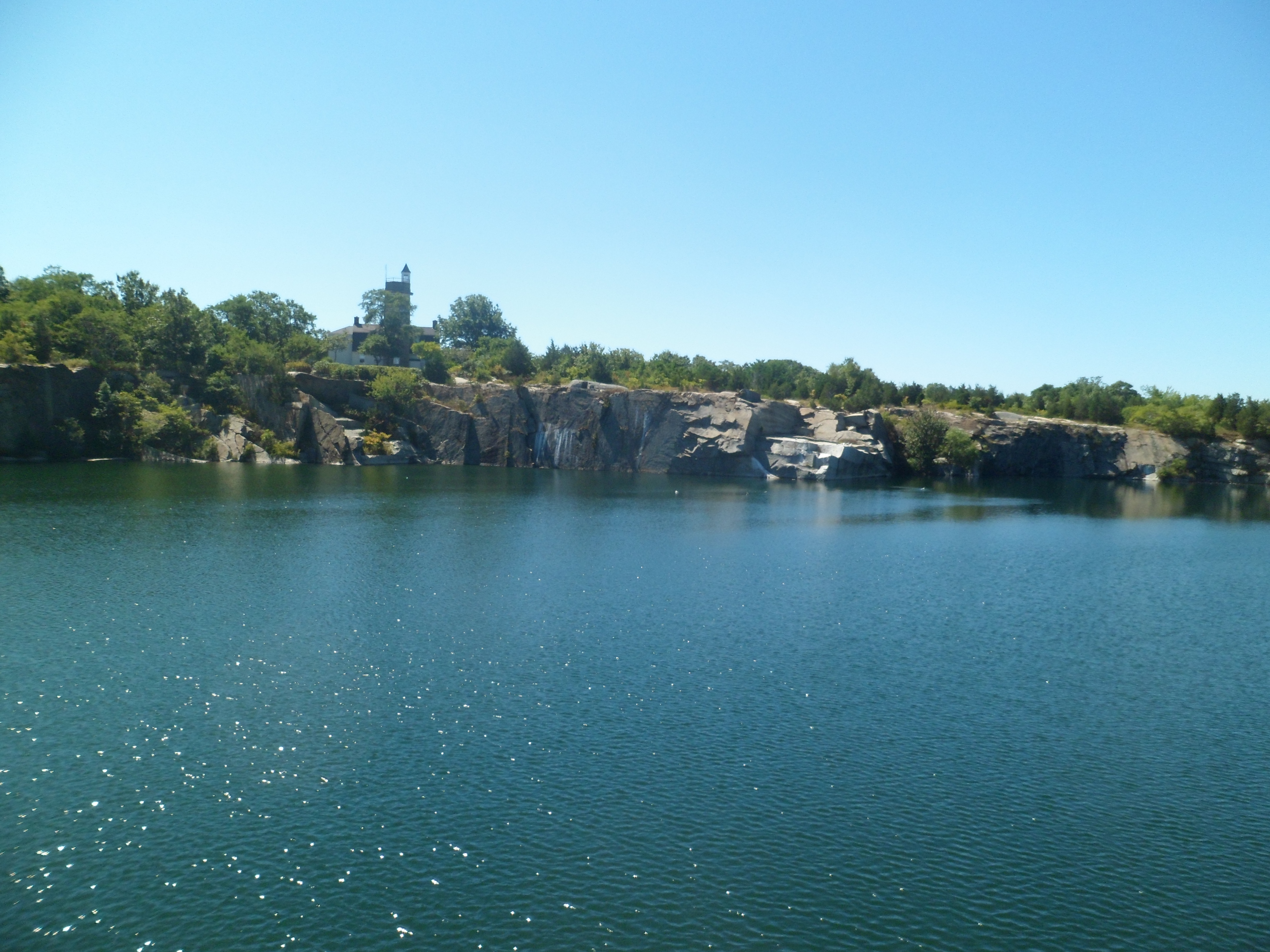
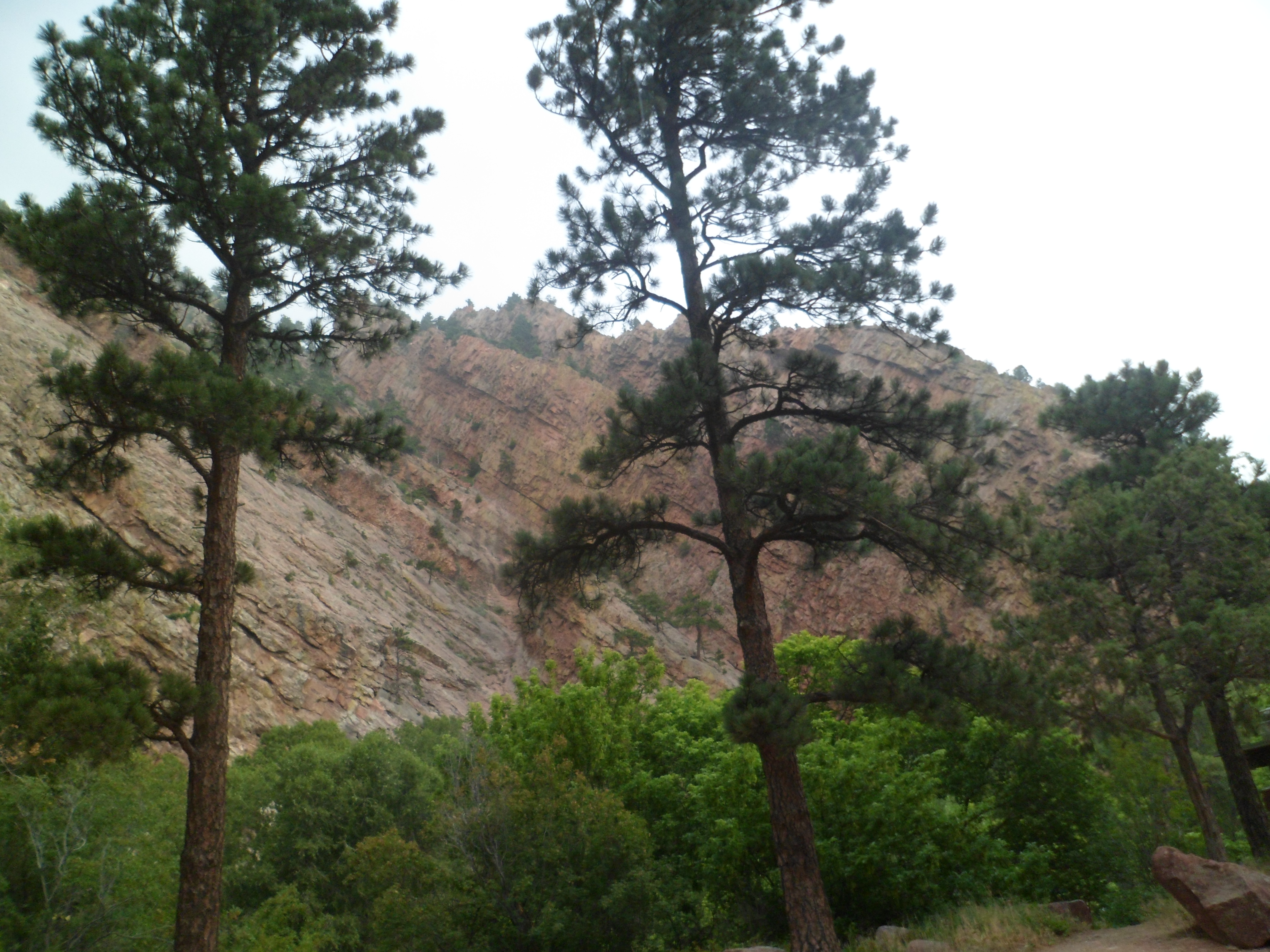
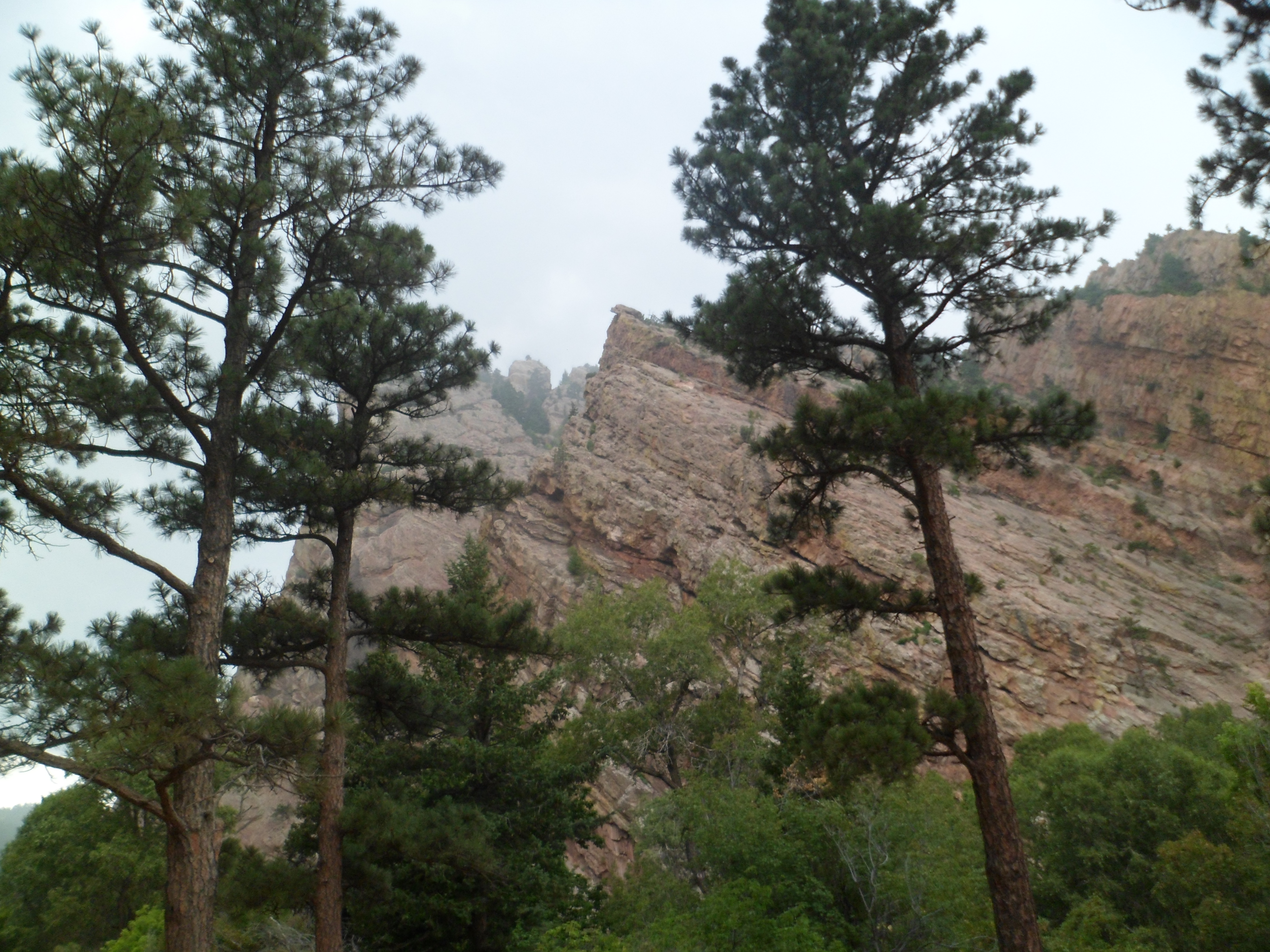
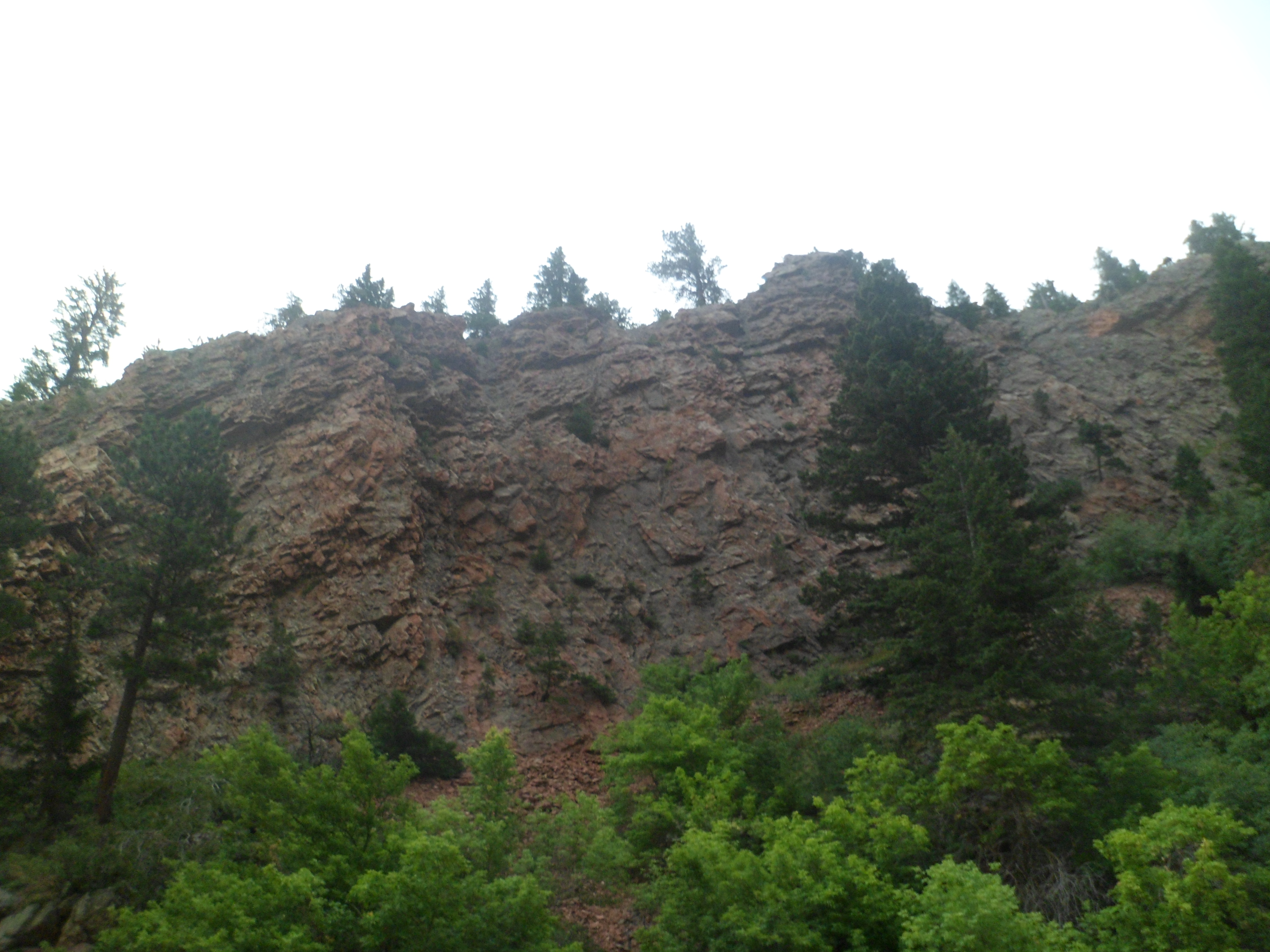
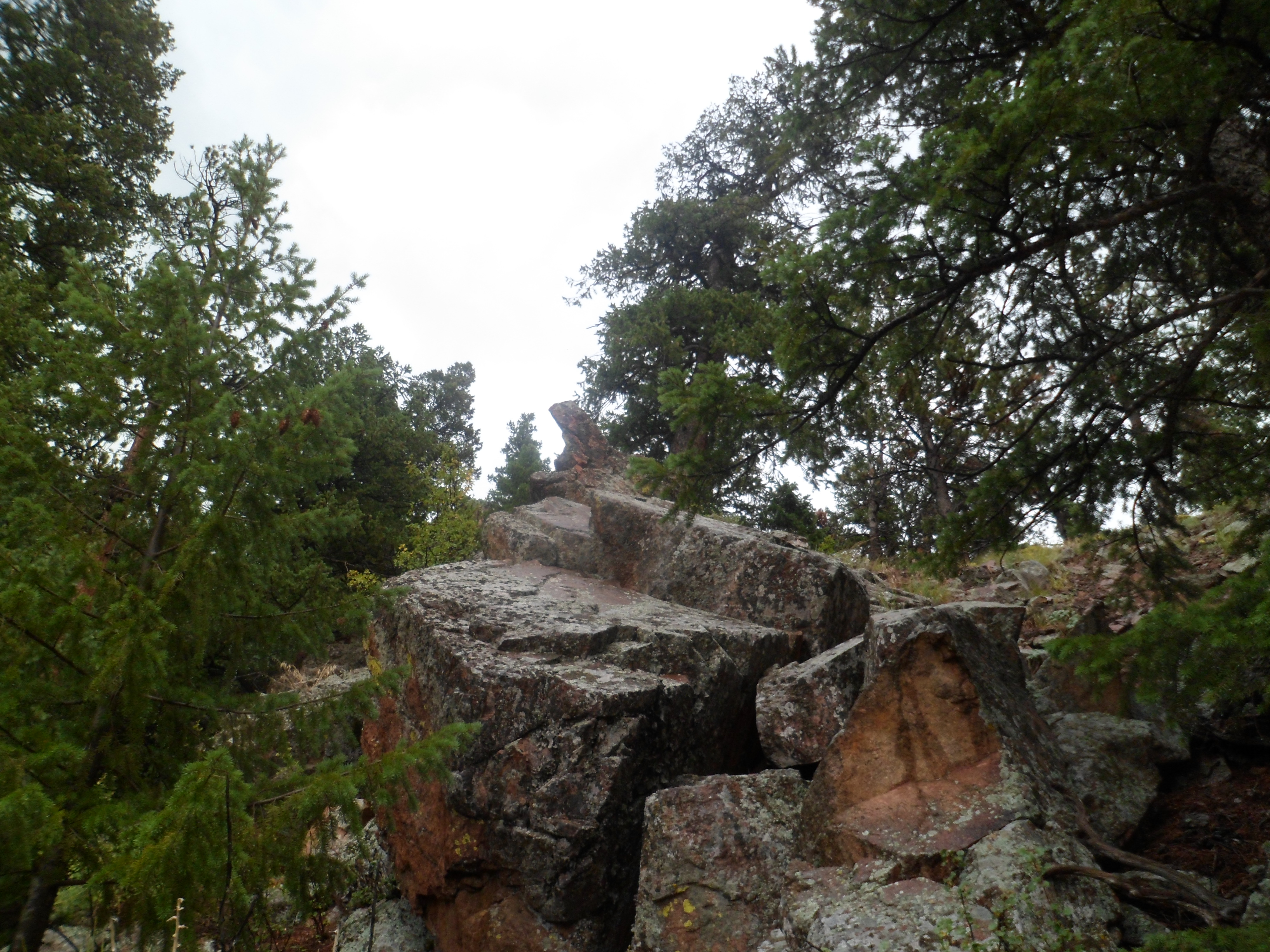
This remarkable cliffside path reminds me of Golden Gate Park, in San Francisco.

SAM_6752

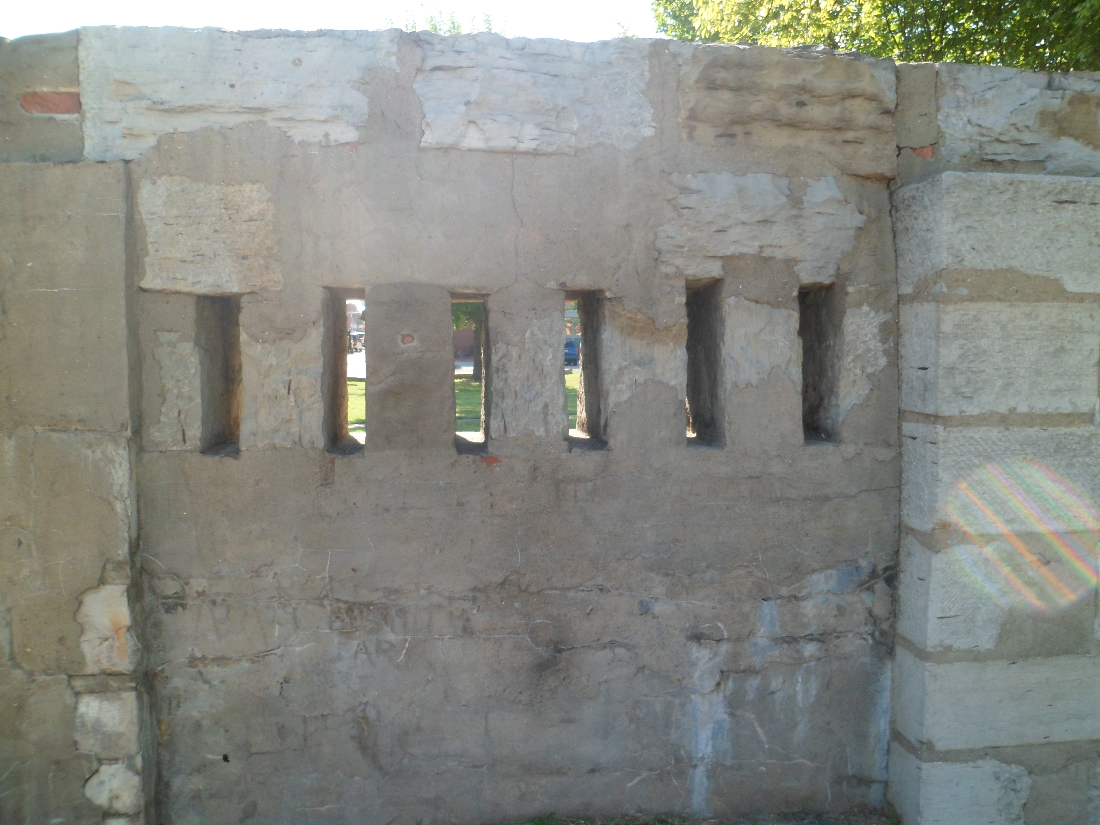
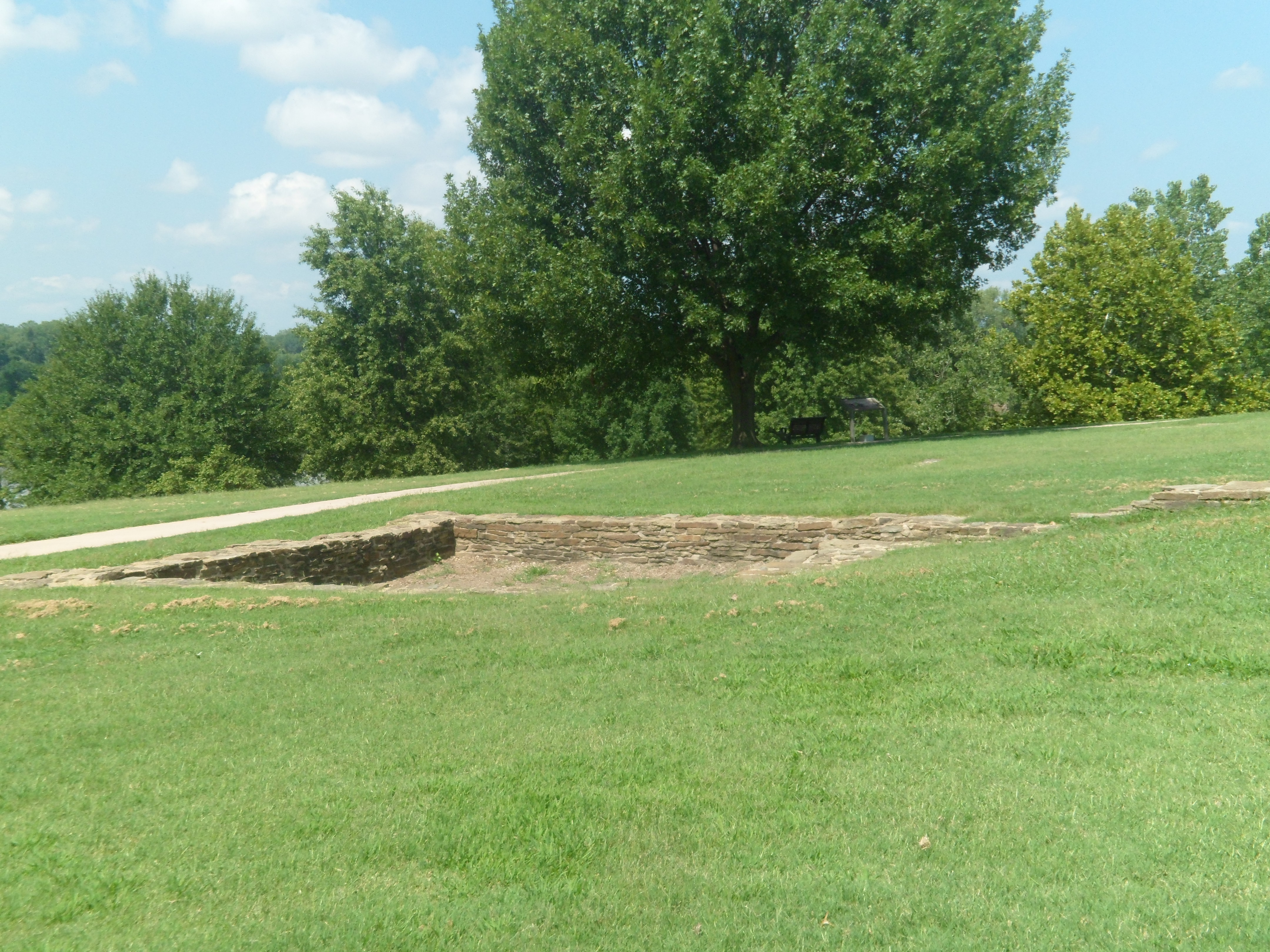
These cannonades are reminders of the War of 1812.

SAM_6754

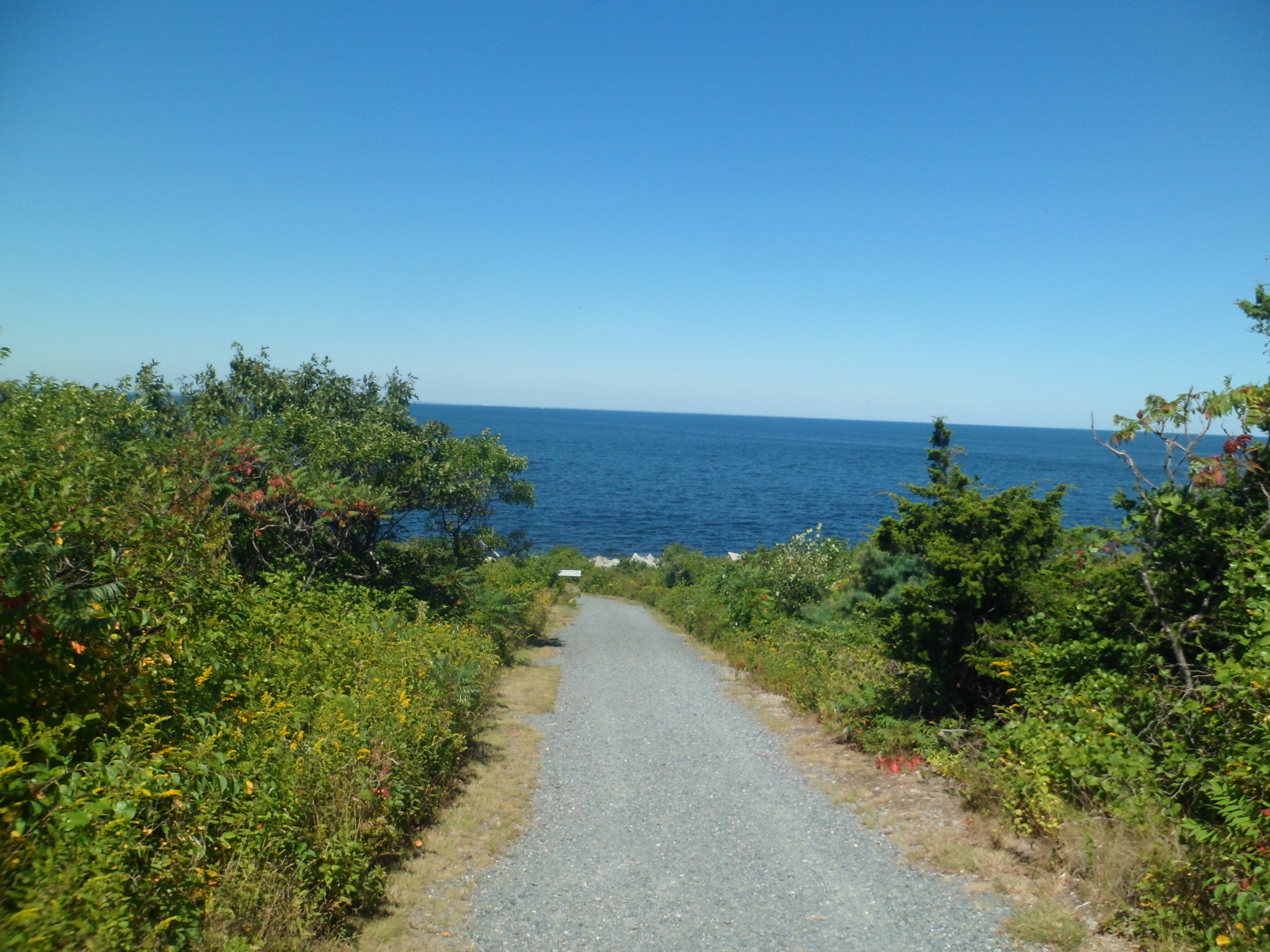
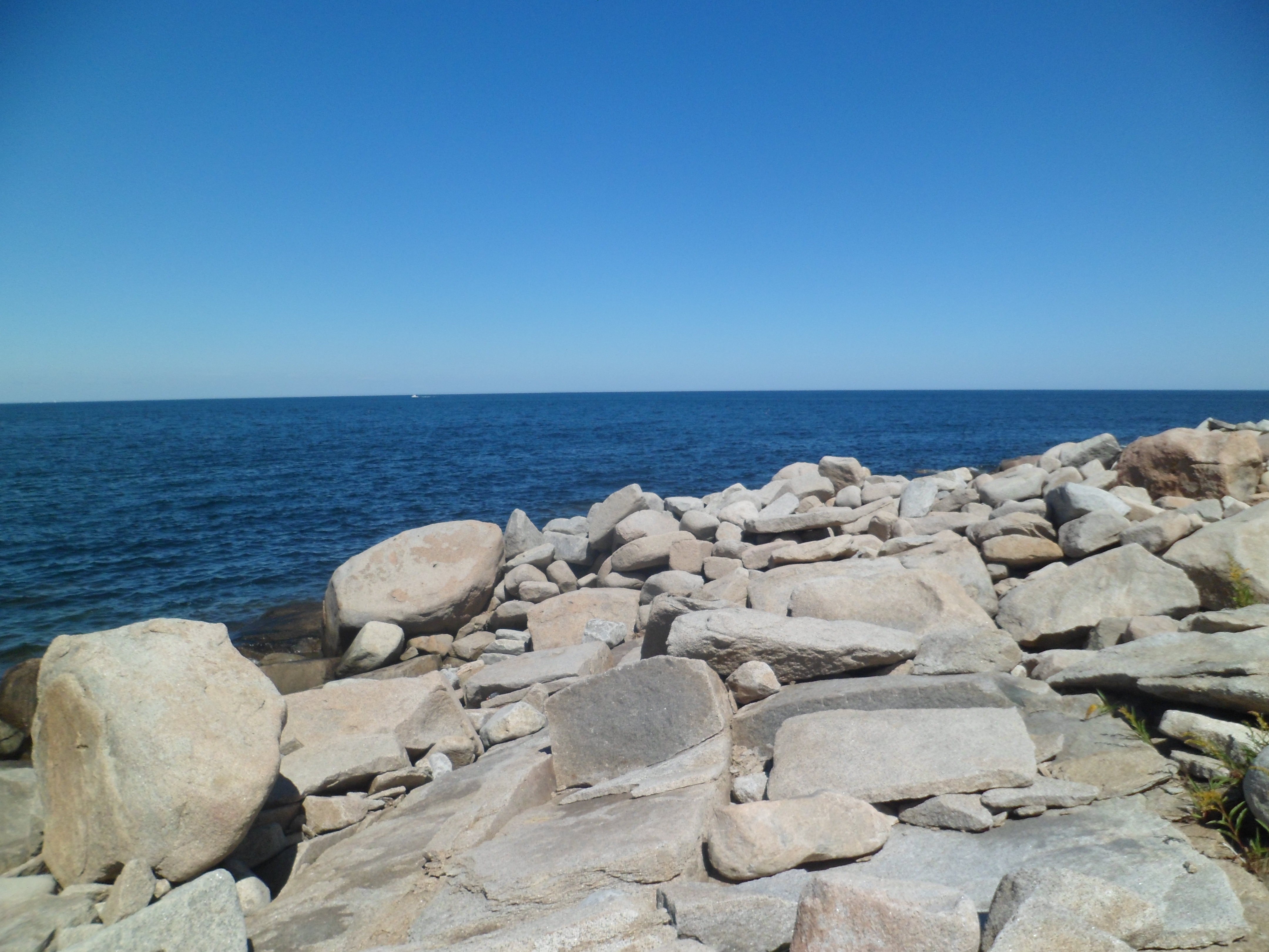
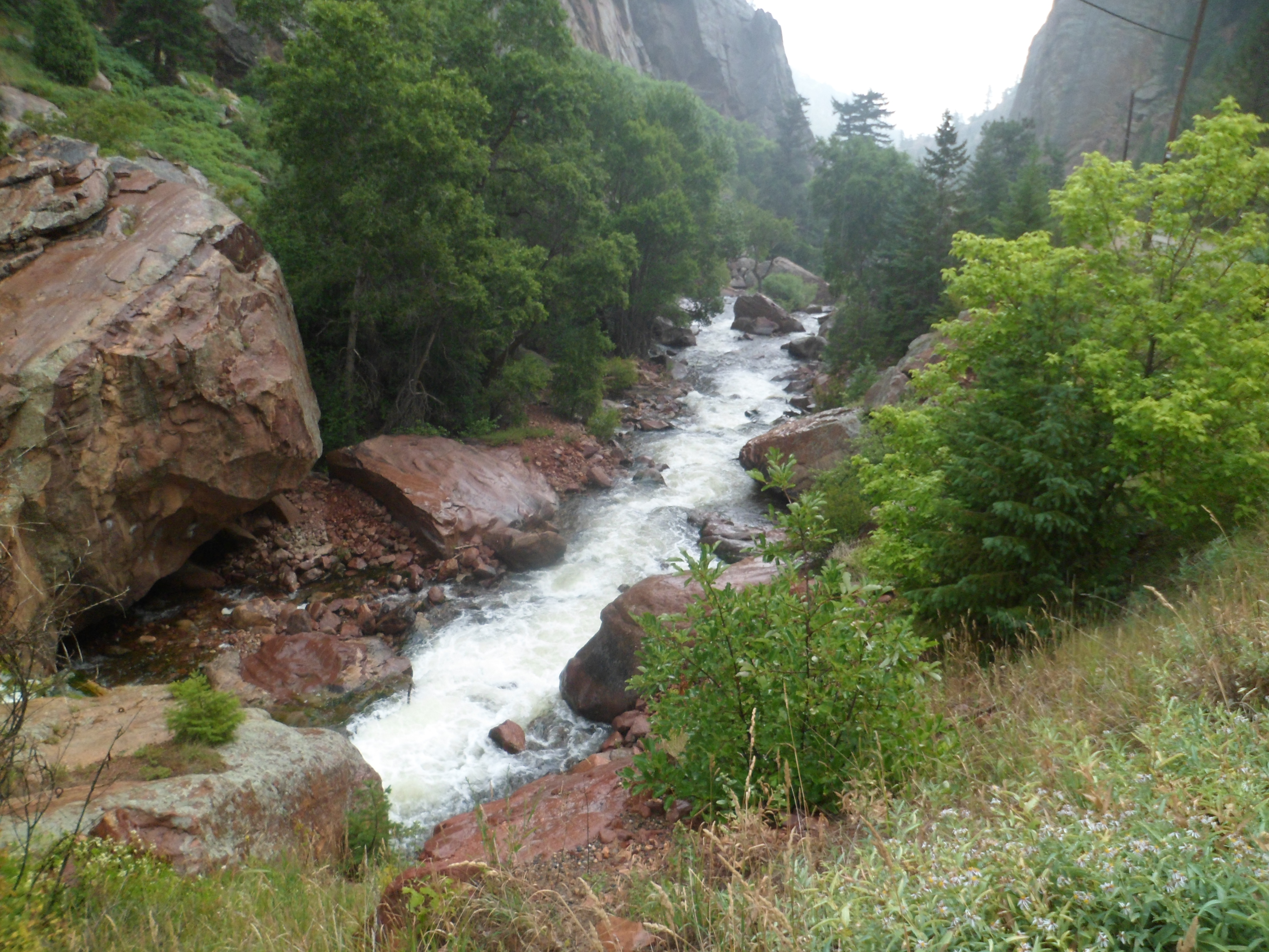
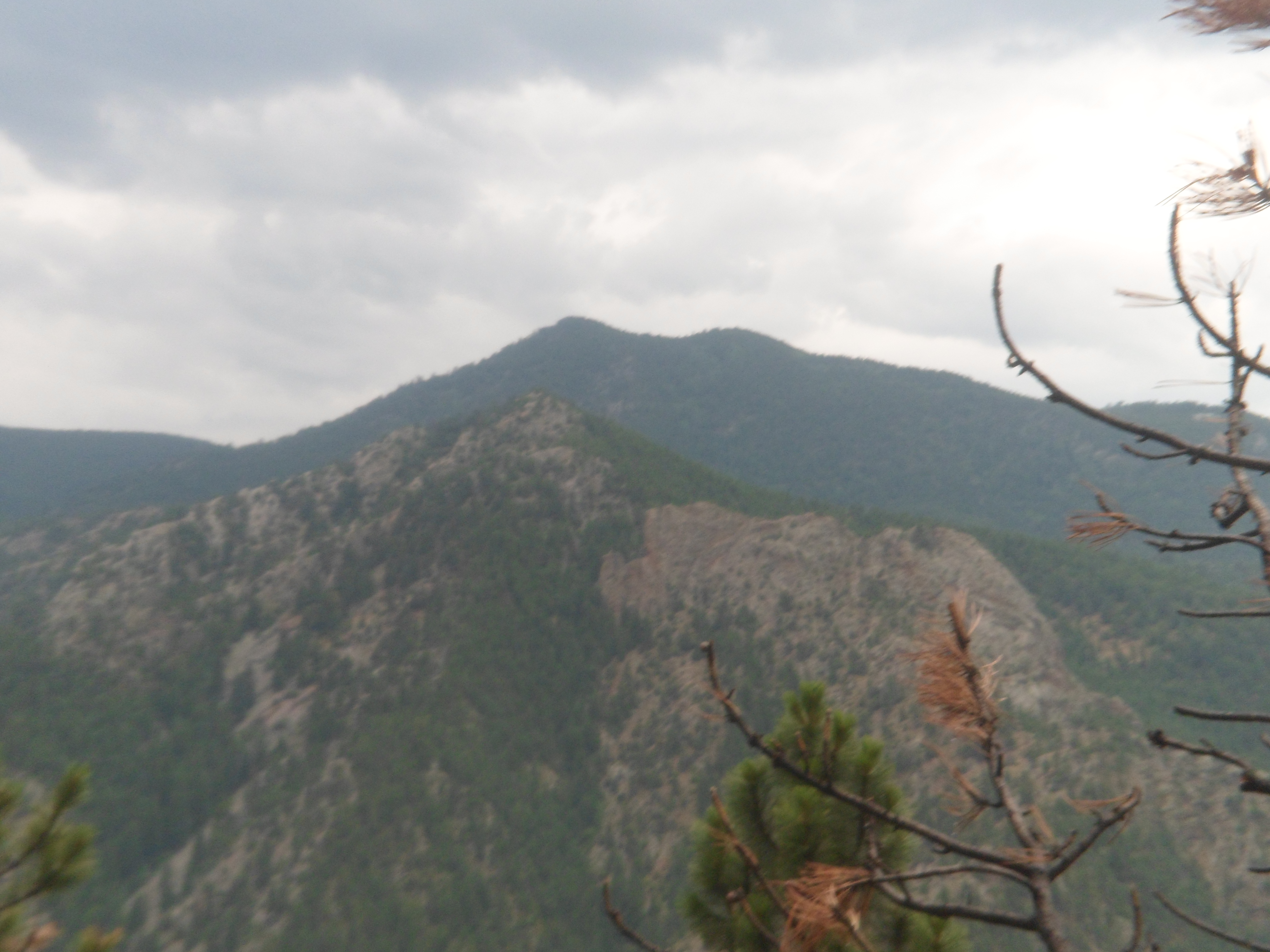
One may sit for hours here, and contemplate the sea.

SAM_6755

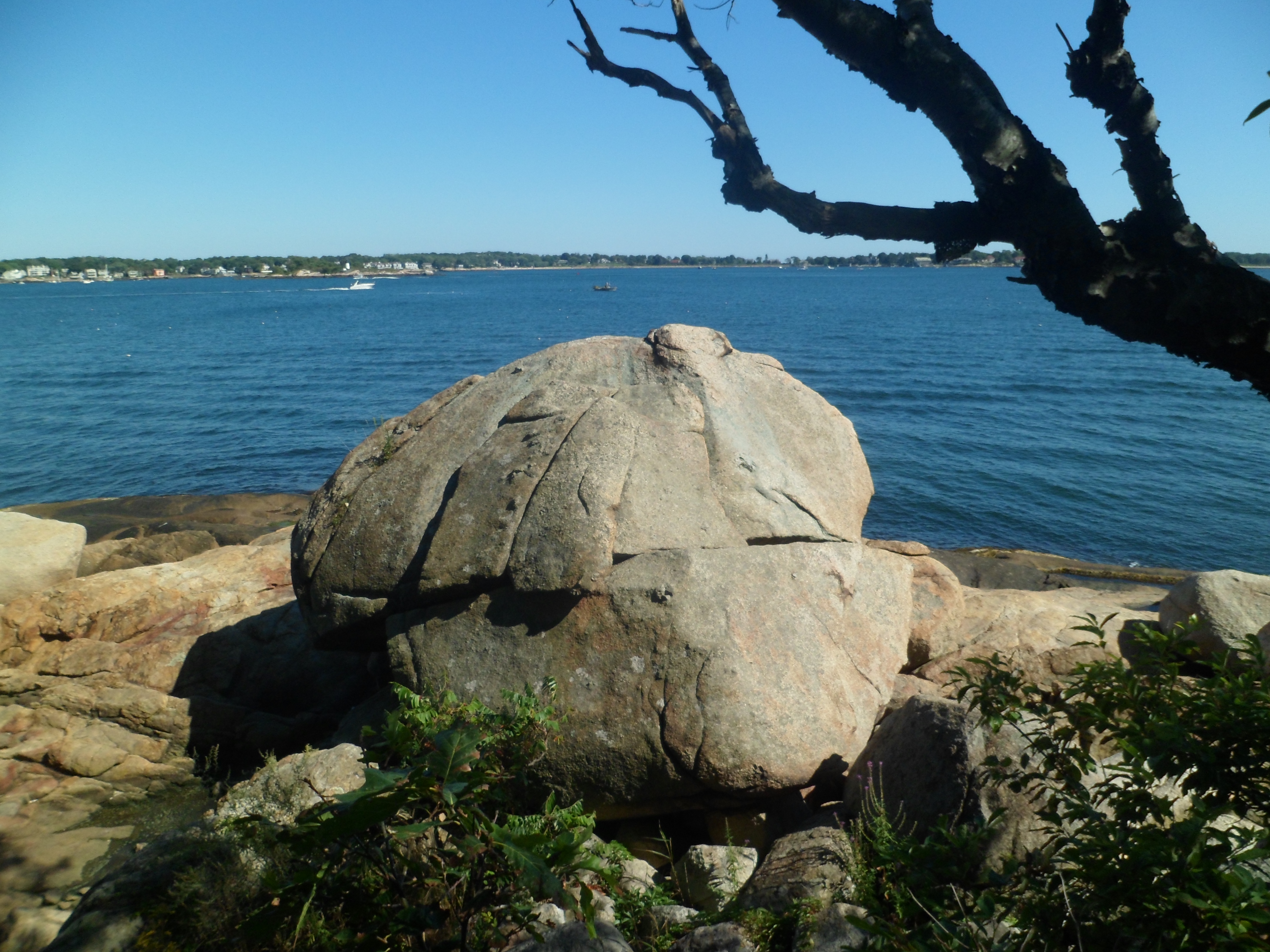
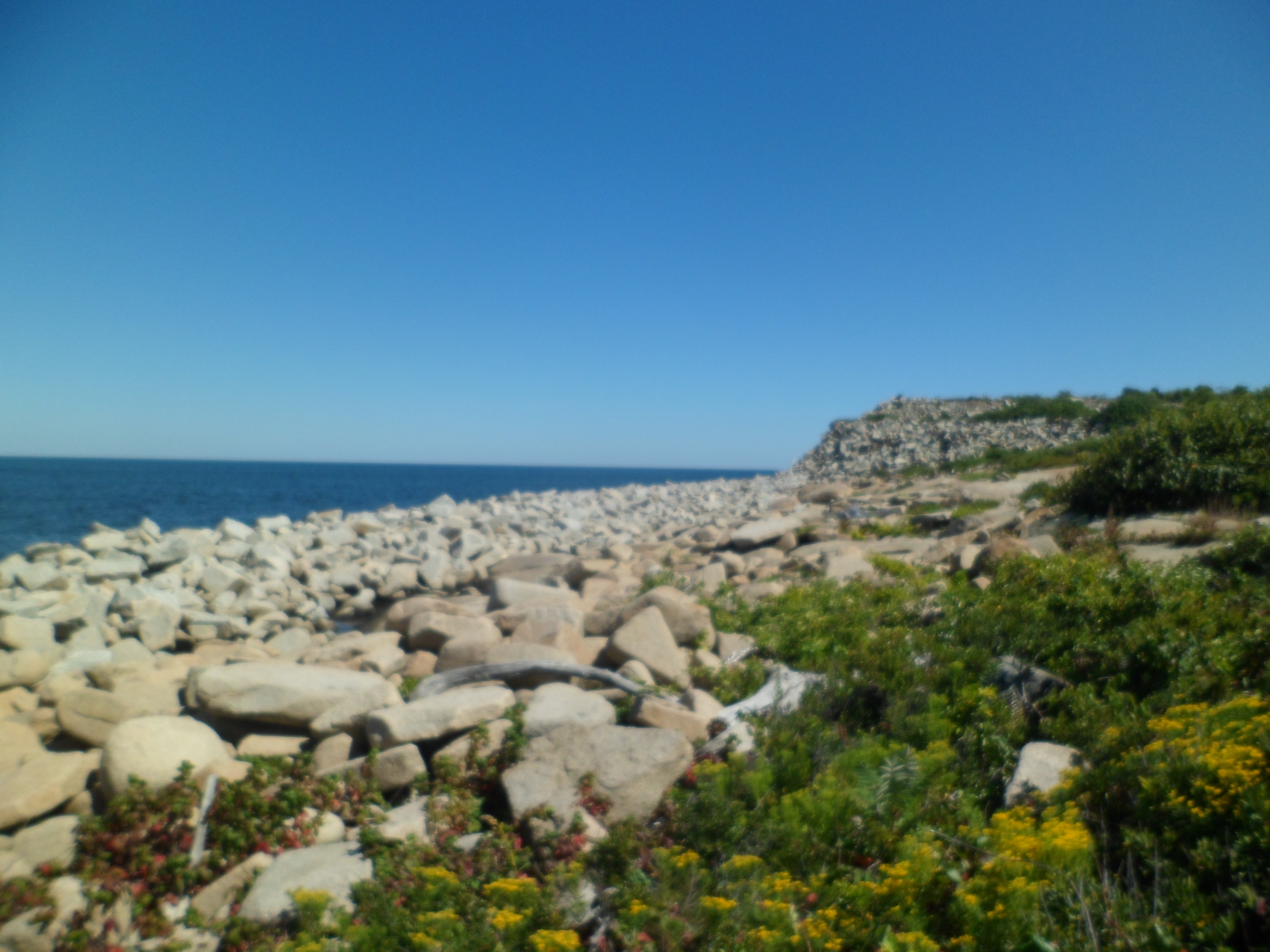
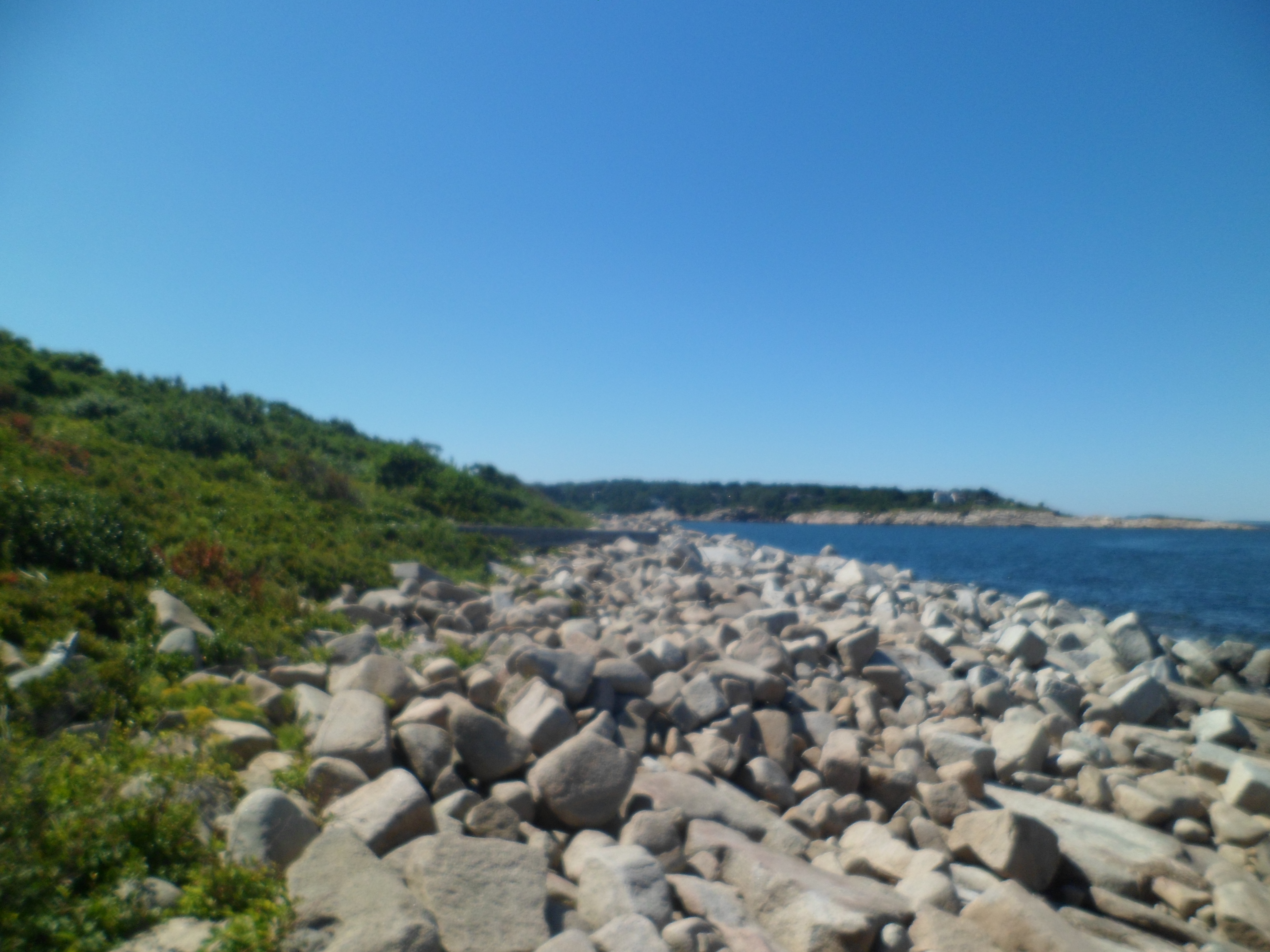
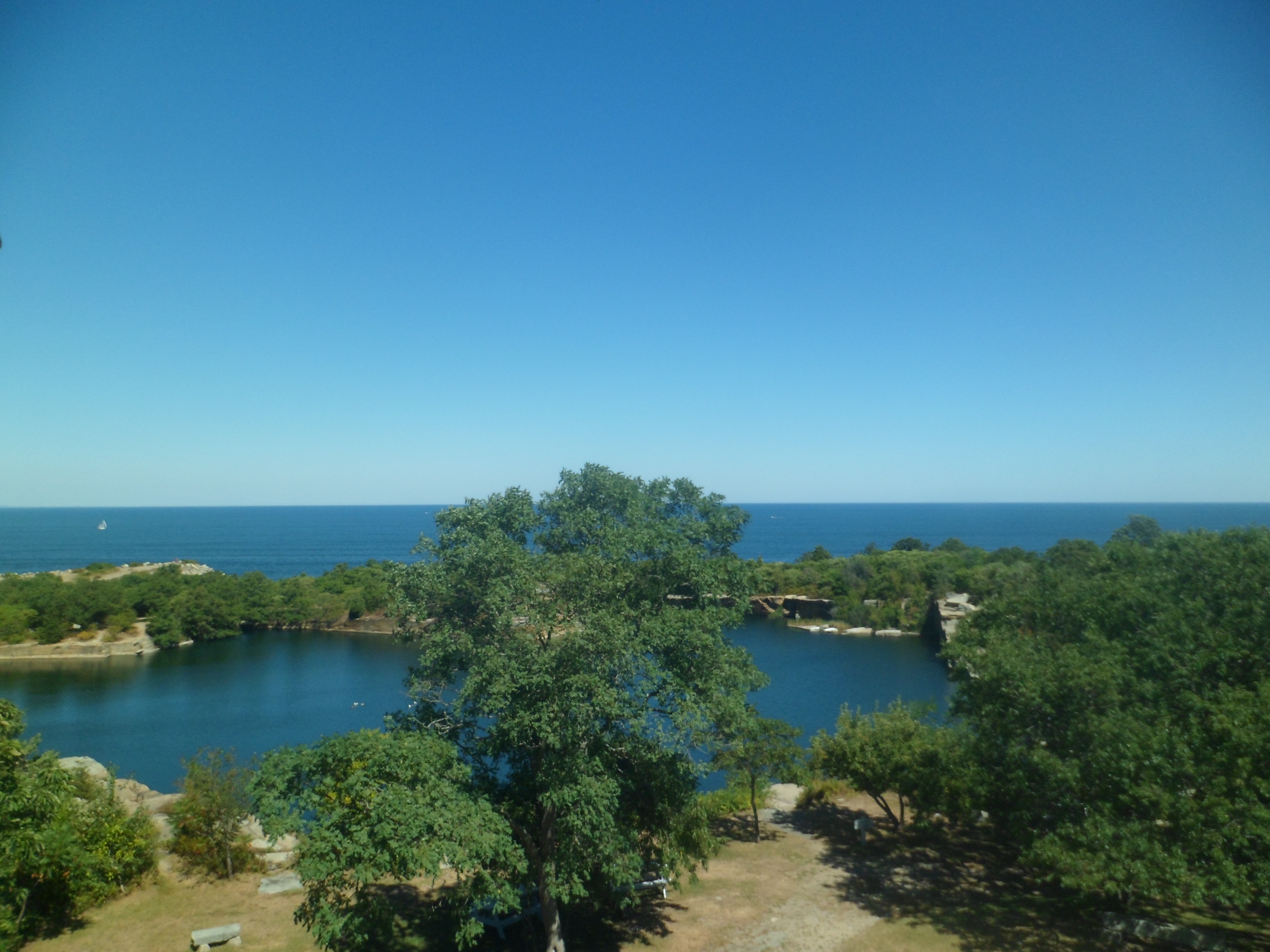
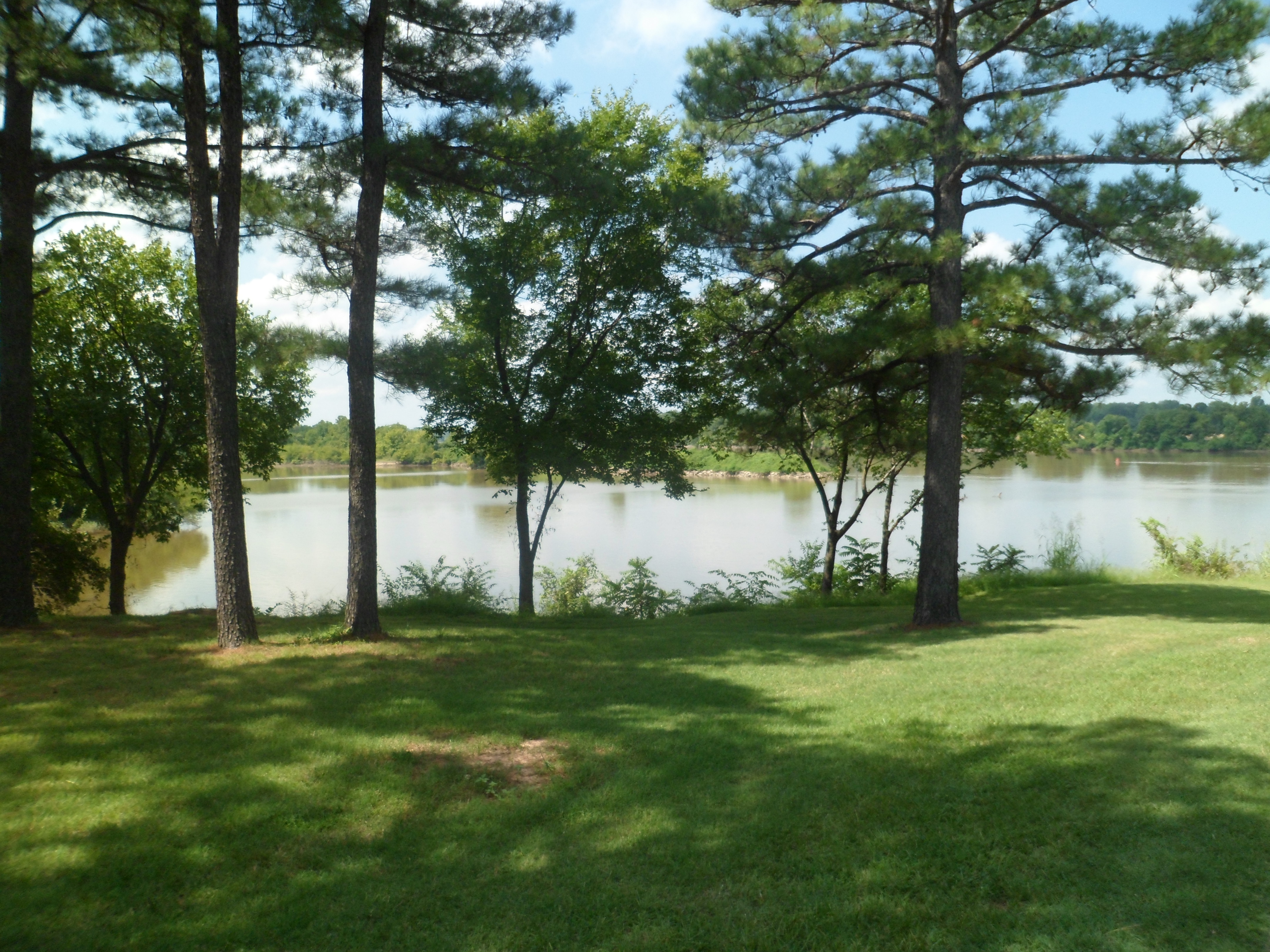
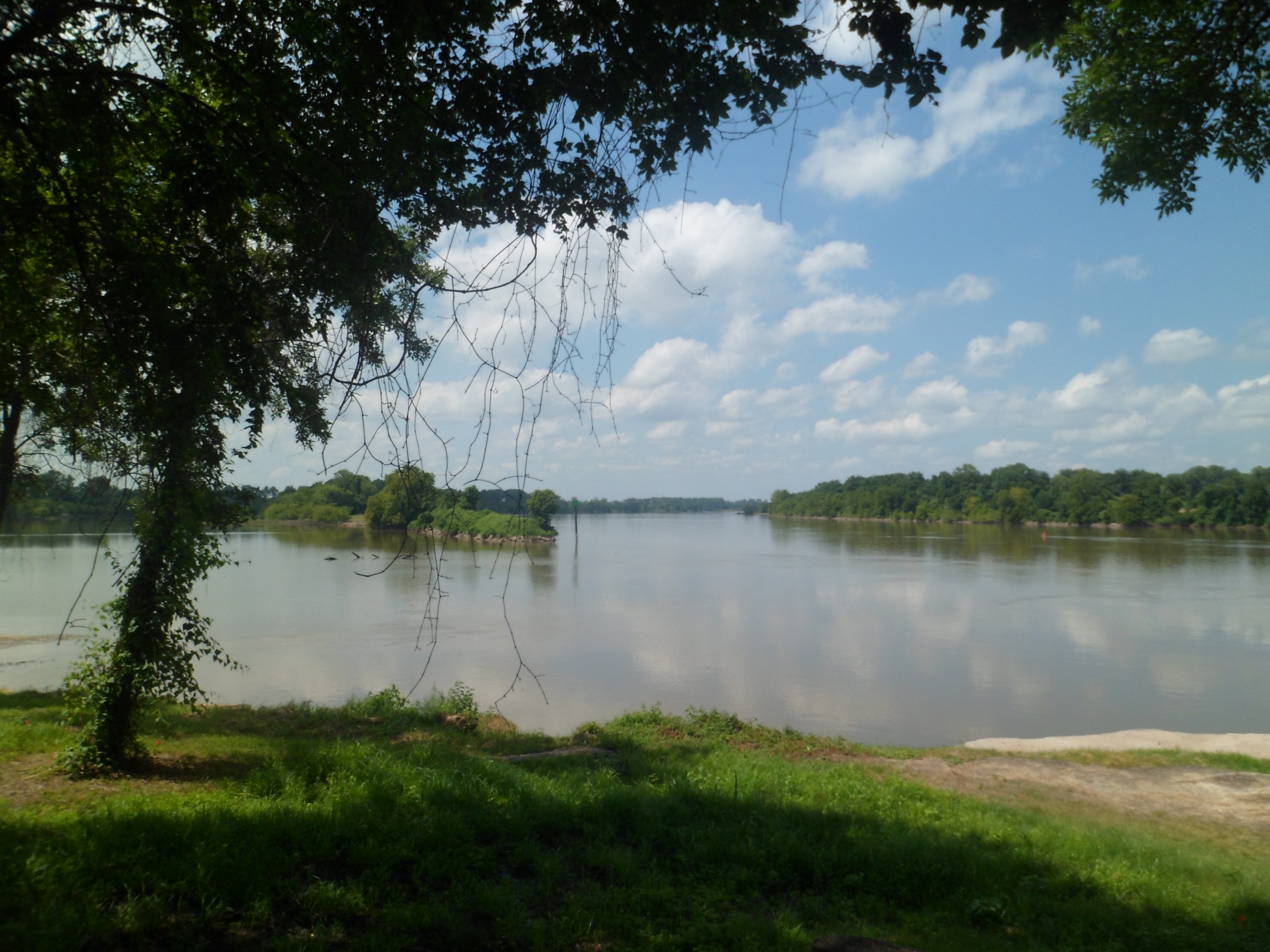
Along any beach in New England, there are small forested islets.

SAM_6757

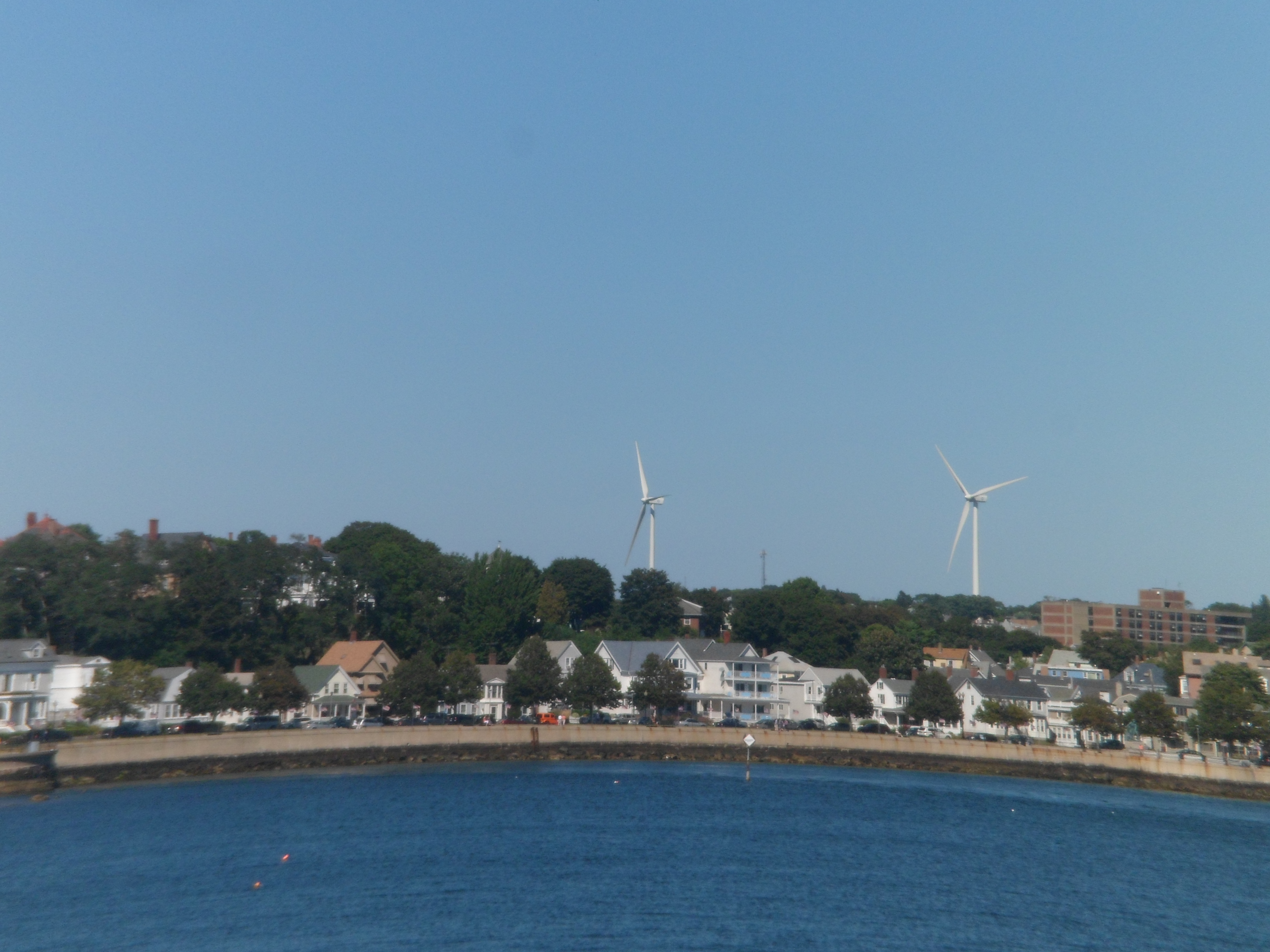
Looking across Gloucester harbor, one sees abandoned factory buildings, where fish used to be processed.

SAM_6758

Wind power is a growing focus, along the coast.

SAM_6759

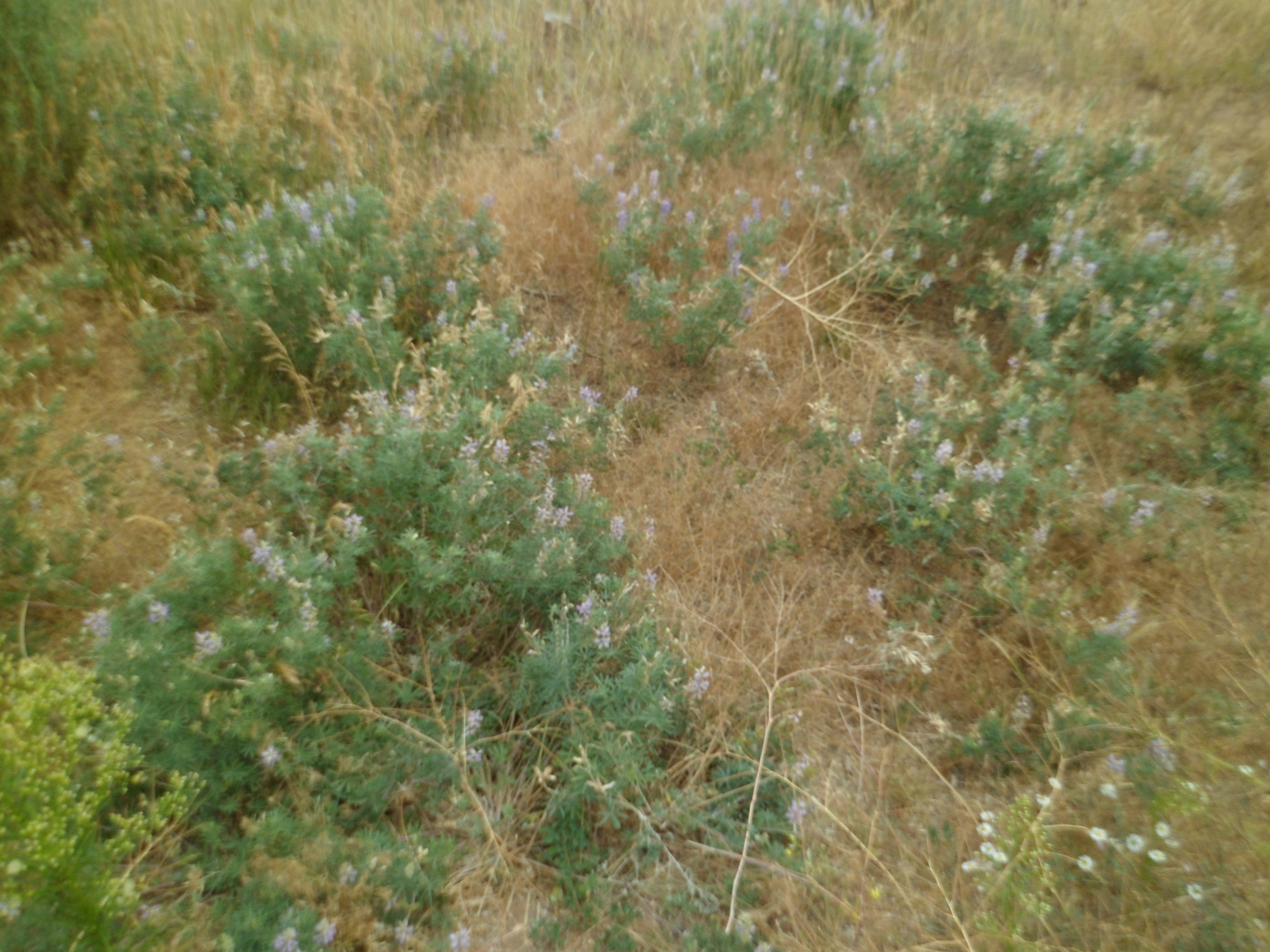
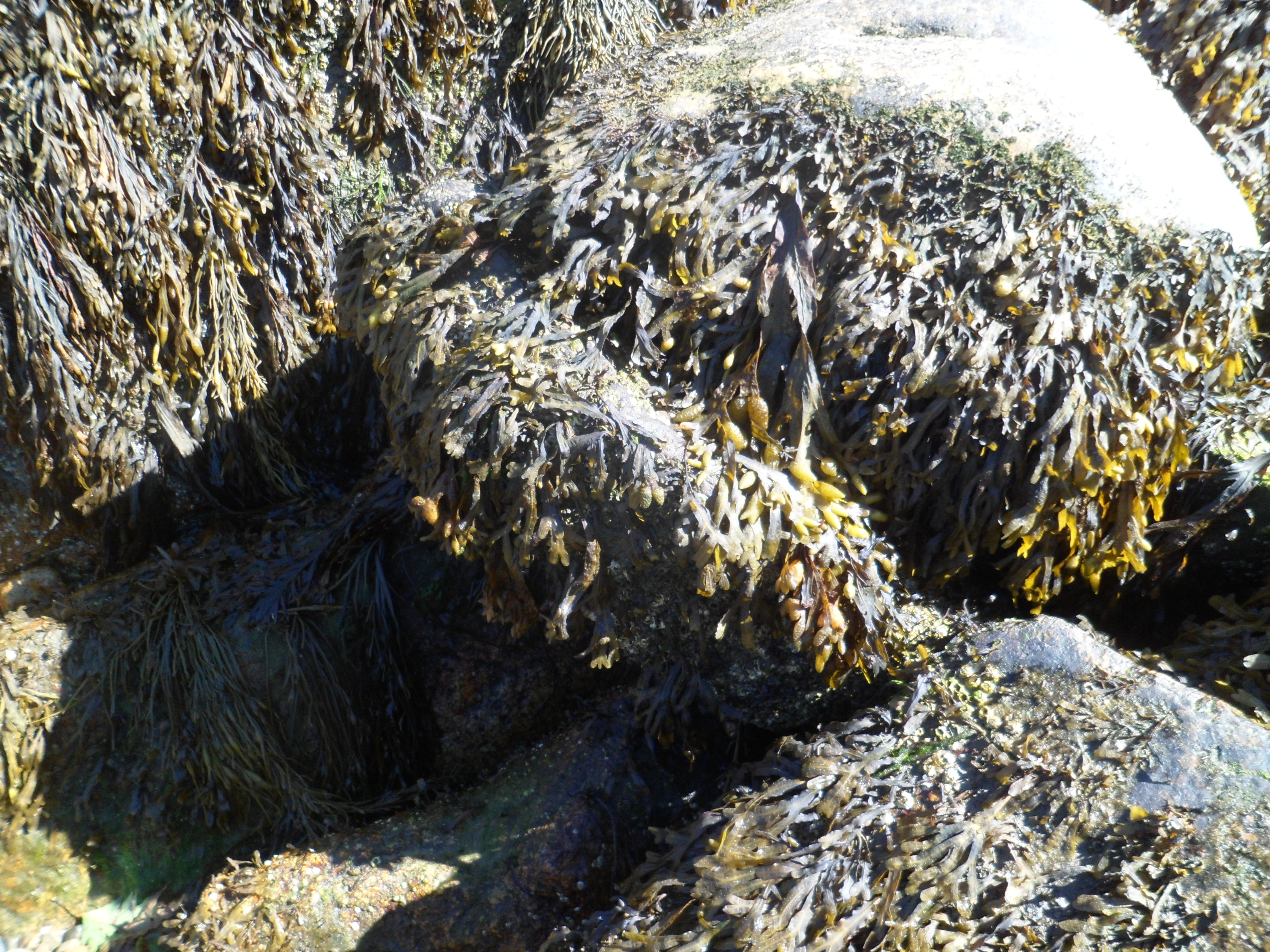
Kelp is a major product of the northeast coast.  Altogether now, “EEEWWW”! 😛  Seriously, tough, this product is great for pregnant women, seeking to keep their iron intake up.

SAM_6760

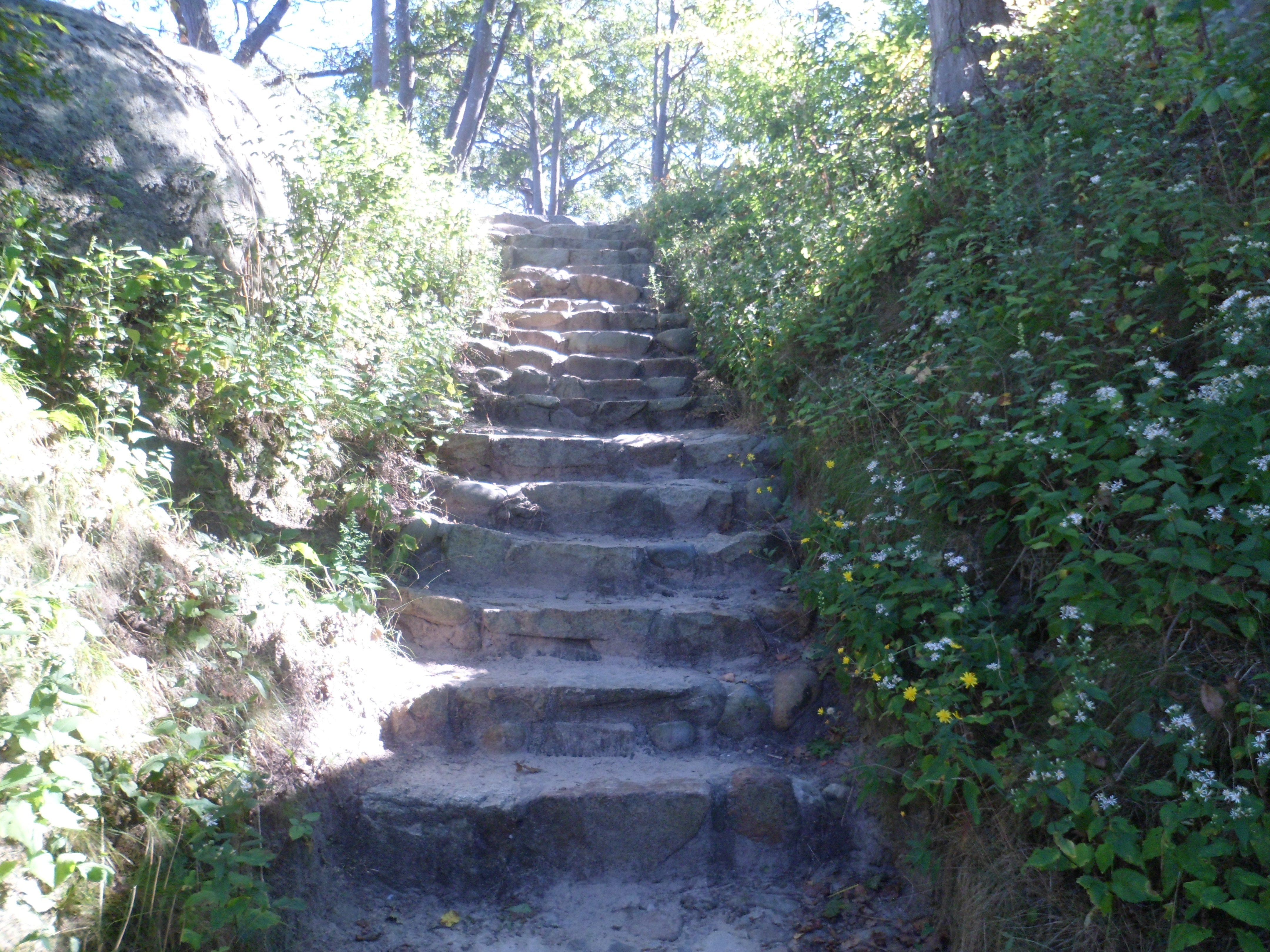
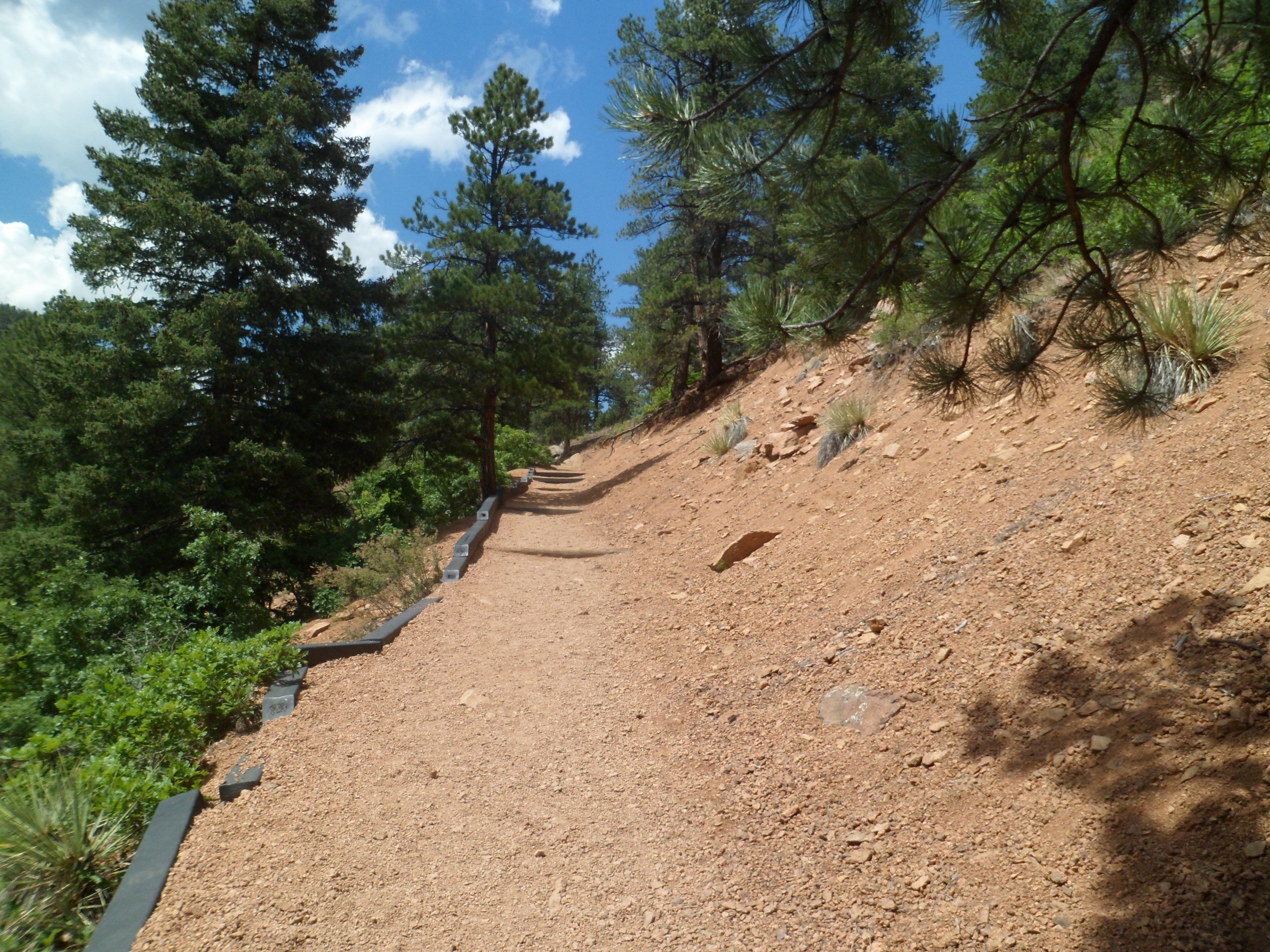
There are stairs aplenty, for those needing aerobic exercise.

SAM_6762

Octopus Head Rock sits atop an eastern cliff in Stage Fort.

SAM_6764

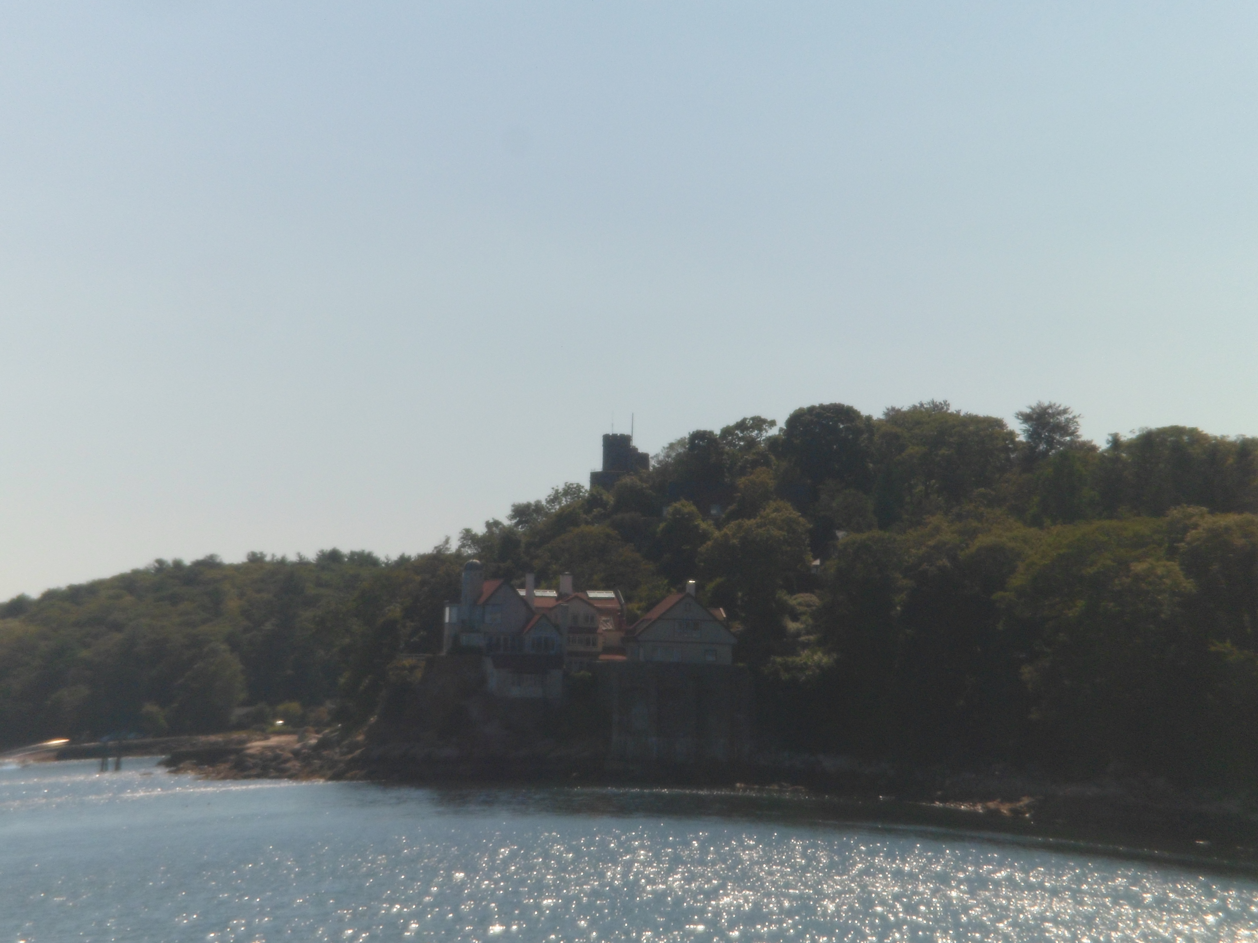
I spotted the turret of Hammond Castle, across the way, on the far south side of Gloucester.

SAM_6766

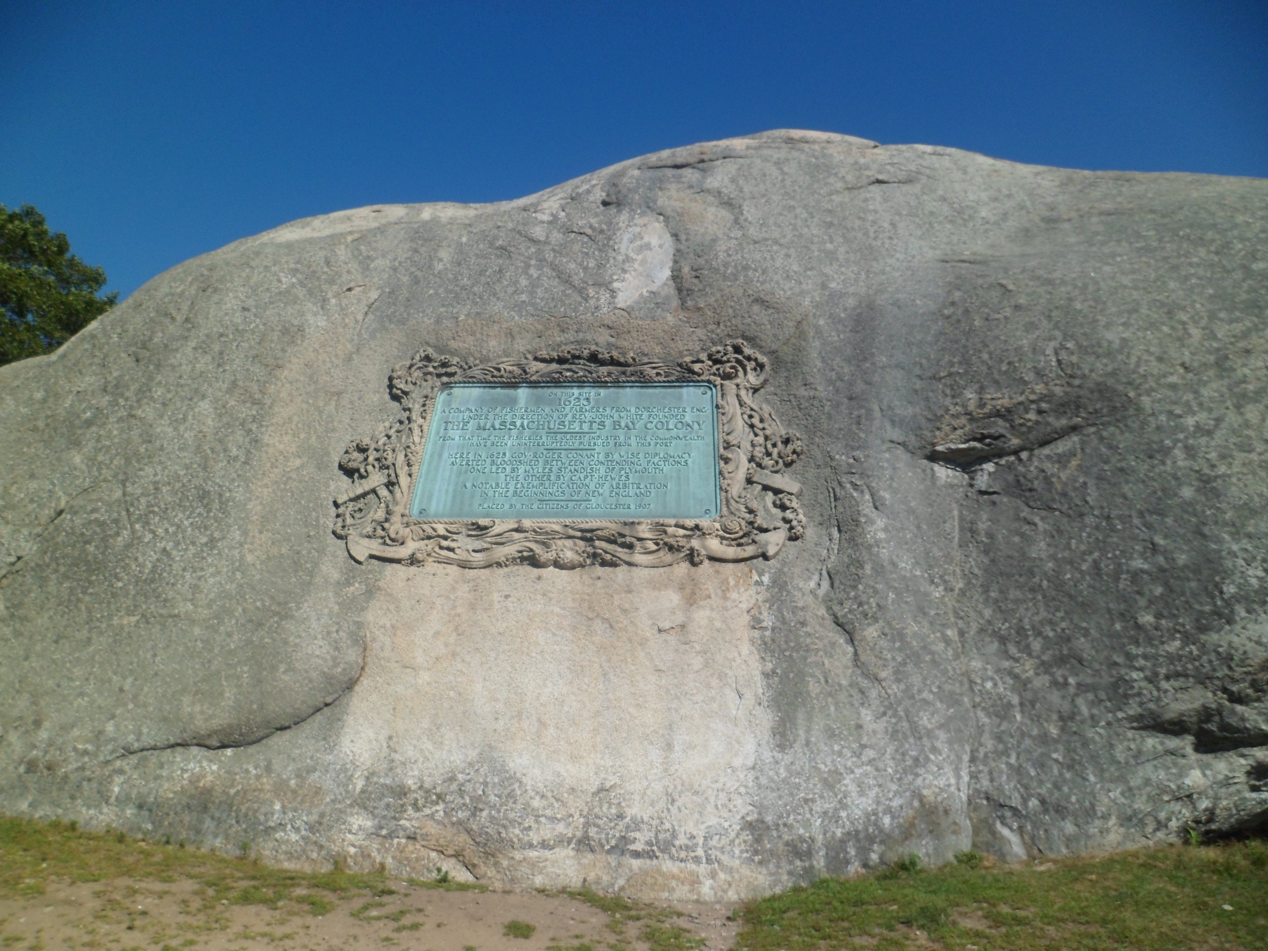
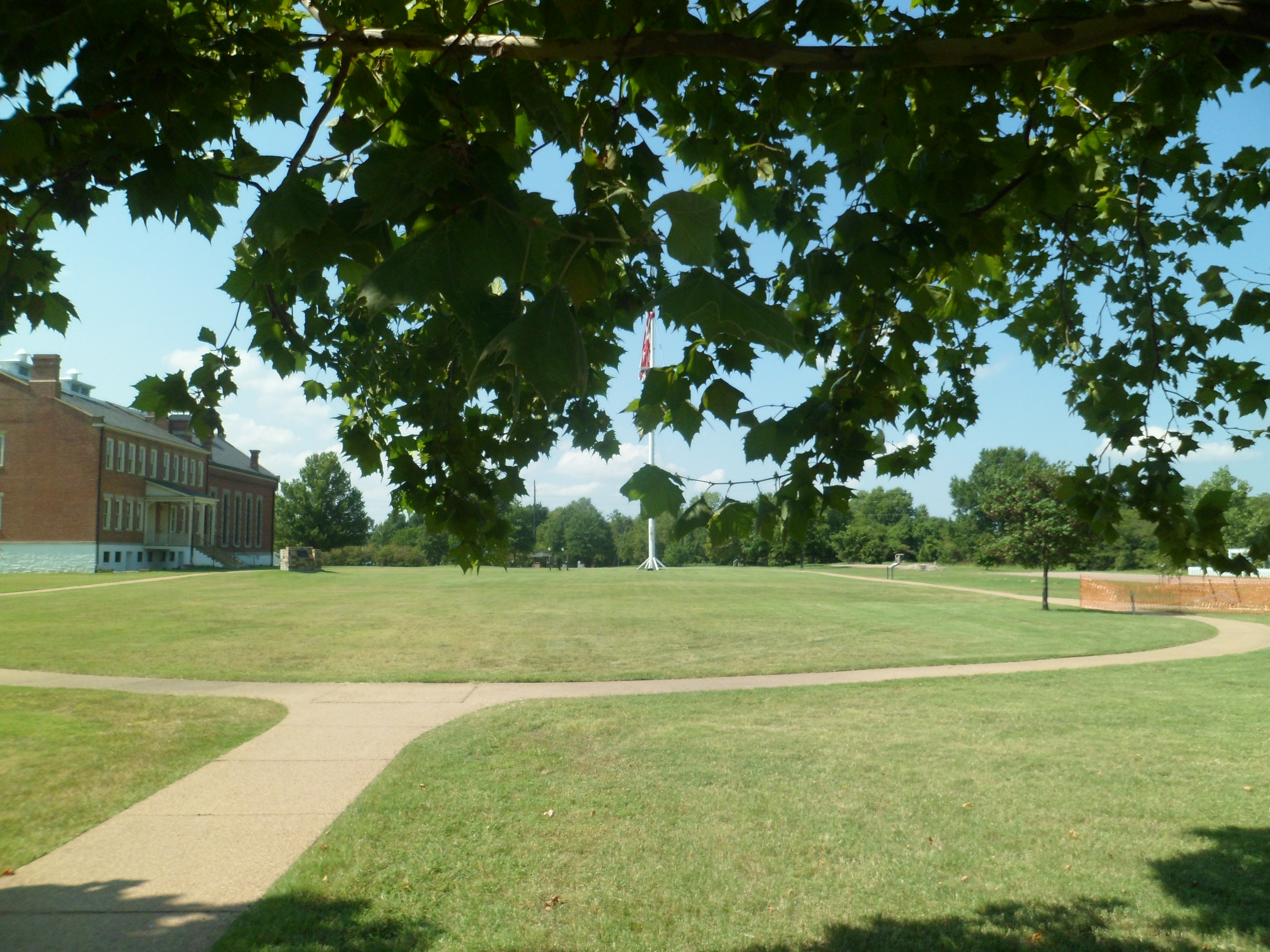
Atop Stage Fort Park, the Girls’ Track Team, from Gloucester High School, was having a practice.  Since I don’t photograph other people’s children, without their parents’ permission, my focus went to reminders of Gloucester’s place in Colonial America.

SAM_6767

SAM_6769

Gloucester, like most small towns, has a gazebo in its main park.

SAM_6768

Finally, Stage Fort Park’s southwest corner has a statue of Triton, mythical son of Poseidon.

SAM_6771

Next;  Gloucester, Part 3, the Interior of Downtown and the North Side.

Above The Seven Falls of Colorado Springs

8

I had one more self-made task in Colorado Springs, on July 31.  The course of Cheyenne Creek, above Seven Falls, is itself an interesting region, with breathtaking views of the city below, and of Garden of the Gods, on a great day.

Here is what I saw, above the Falls.

SAM_6220

SAM_6222

SAM_6225

SAM_6226

There is a Hidden Falls, above the seven.

SAM_6228

After that, the trail gets serious,j just for a bit.

SAM_6230

Pikes Peak lurks in the background- always the 800- pound gorilla.

SAM_6232

There are also impressive peaks, nearby.

SAM_6233

Helen Hunt Jackson, whose tomb is there, was one of the driving forces behind conservation of this area.

SAM_6236

The same could be said of Melvin Weimer.

SAM_6237

They oversee the promised views.

SAM_6238

SAM_6241

That is, until Mayhem, like me, gets in the way.

SAM_6242

SAM_6243

I didn’t need it that day, but there is an elevator, to and from the parking lot, to the mid-point of the Falls.

SAM_6245

A couple of postscripts to this paean to Seven Falls.  On my way down to the Four Corners, I caught these scenes in Del Norte, one of my favourite SoCo towns.

SAM_6248

One of these days, I am going to stay at La Casa Bonita.  The plumbing was sitting outside the cabin, on that last night in July.  It was all good, though, since I got to sleep under the stars.

SAM_6249

Next:; Chimney Rock

Colorado Springs’ Seven Falls

11

Arizonans are justifiably proud of their Seven Falls, east of Tucson.  Coloradans are, with equal justification, proud of THEIR Seven Falls, south of Colorado Springs.   http://www.colorado-hiking-vacations.com lists the falls, like so:

“Seven Falls is made up of seven separate waterfalls which each have their own name.

1) Ramona Falls-this one is named after Helen Hunt Jackson’s book “Ramona”.

2) Feather Falls-this one is named for the way it looks.

3) Bridal Veil Falls-yes, because it looks like a bridal veil.

4) Shorty Falls-you guessed it: because of its short drop.

5) Hull Falls-this one is named after the 1880s owner of the falls.

6) Weimer Falls-Weimer was the name of the second owner of Seven Falls.

7) Hill Falls-and last but not least, Hill is the name of the current owners of this seven tiered waterfall.”

The falls may be reached by climbing up two sets of stairs, or by taking an elevator up the first elevation change, and taking the steps up the other set.  First, here are a few views of the mountain, down which Cheyenne Creek flows, creating the falls.

SAM_6184

SAM_6185

SAM_6186

SAM_6188

SAM_6190

SAM_6191

SAM_6194

Here are some views of the stairs, followed by the falls themselves.

SAM_6196

SAM_6197

SAM_6201

SAM_6207

SAM_6210

SAM_6213

SAM_6215

SAM_6217

In the next post of this series, we will look at the trails above the falls.

From Home to Home, and Back, Day 13, Part II: Pigeon Cove and Halibut Point

4

The west side of Rockport has the village of Pigeon Cove, and Halibut Point State Park.  The latter gave me the first of two good hiking opportunities, on Sept. 3.  It offers clifftop to beach and quarryside walks.

Here are several views of the trail, the ocean, the quarry pond and the Visitor Center, at Halibut Point, followed by a shot or two of Pigeon Cove.  The first photo is of the old quarry master’s house, at Halibut Point.

SAM_6698

Next, is a farm shed and well.

\SAM_6699

Now, on down the trail to the seaside.

SAM_6701

SAM_6702

SAM_6703

SAM_6706

The above scenes evoke Bandon, OR and Kalalaoch, WA.

SAM_6709

SAM_6714

Cairn art, similar to this, is found on several New England beaches.SAM_6717

Now, for several views of the abandoned quarry, now a gorgeous little pond.

SAM_6710

SAM_6711

SAM_6719

SAM_6724

The last views at Halibut Point are of the watch tower.  An osprey graced the roof peak, as I walked around below.

SAM_6722

SAM_6723

Here is a range of  rock samples obtained from the quarry.

SAM_6728

Lastly, here are the two most prominent structures in the village of Pigeon Cove. First is the community church, followed by a private home.

SAM_6729

SAM_6730

Next:  The first of three posts on Gloucester, MA

A Paradise Called El Dorado

4

In May, 2012, a  very dear friend showed me the way to El Dorado Springs State Park.  We weren’t able to do much more than view the falls area, that day, but I kept the scene in my heart.  On July 29,of this year, I was able to ignore the intermittent rain and take the canyon hike, up to the junction with a longer loop trail, then back again.  It is among the most gorgeous trails I’ve yet seen.

So, meet El Dorado Canyon! 🙂  There are a  lot of photos here, so take your time.

SAM_6080

SAM_6081

SAM_6083

SAM_6085

SAM_6088

SAM_6089

SAM_6091

SAM_6094

SAM_6095

SAM_6096

SAM_6099

SAM_6101

SAM_6102

SAM_6106

SAM_6109

SAM_6112

SAM_6116

SAM_6120

SAM_6122

SAM_6123

SAM_6126

A narrow-gauge rail system goes through El DoradoCanyon, regularly.

SAM_6127

Prickly Pear cacti do nicely,at 10,000 feet.

SAM_6128

SAM_6130

SAM_6133

SAM_6139

Location, location, location!

SAM_6140

SAM_6141

So, there you have it.  This was not just any hike; it was the one that led me to overcome a few barriers- both physical and emotional.

Next:  Manitou Springs, Part 1:  The North Side

Spiritual Anchor on The Prairie

8

SAM_6007

I last visited Cahokia Mounds National Monument in September, 2011, when it was dusk.  This time, July 25, 2013, it was a bright afternoon.  The difference was palpable.  At dusk, there is a sense of the spiritual, the ephemeral.  In bright sunshine, tour groups and easily-spooked people, jumping when I walked by them, were all over the park.

No matter, this area is home to intense spiritual energy, which not everyone can handle.  It was built by an ancient nation of traders, and appears to be an array of tumuli, burial mounds.  Overlooking the scene is Monks Mound, across the highway from the main park area.

I spent about 40 minutes in the Visitor Center.

SAM_6008

A clockwise jaunt around the main park revealed several mounds.

SAM_6015

SAM_6022

SAM_6033

It was soon time to mount the stairs to Monks Mound. Here, priests conducted observations of the sky and presided over ceremonies, relative to the solstices, equinoxes and phases of the moon.

SAM_6030

There are some fine views of the surrounding countryside, including the city of St. Louis.

SAM_6038

SAM_6039

To the east, there is a  fence, built by the U.S. Army, during the Trail of Tears, in the 1830’s.

SAM_6047

Finally, I visited Woodhenge, a mile west of Cahokia Mounds, and largely viewed as another place where the indigenous people could observe and measure celestial events.

SAM_6050

SAM_6049

With this important site being offered tribute in both light and darkness, I crossed the Father of Waters, to St. Louis, and the Gateway Arch.

From Home to Home, and Back, Day 3, Part 3: Little Rock’s River Walk.

13

Arkansas’ state capital has been in the forefront of a statewide effort, that started with Bill Clinton as Governor, and has continued through the Huckabee and Beebe administrations, to get the populace up and at ’em.  A good part of this effort, in the capital city, revolves around the Arkansas River, and the recreational opportunities it, and its banks, provide.

The focus is fitness, for one and all, starting with the children.  I saw people of all ages and ethnicities getting into the act.  Count Kasimir Pulaski, who aided in the first U.S. Army, is honoured here, well west of the first frontier of the United States.  Here are Pulaski Way and a bust of the Count.

SAM_6433         SAM_6443

The message is clear about fitness, from the outset of the trail system along the Arkansas.

SAM_6441

SAM_6444

There are some obstacles and sculptures along the way.

SAM_6437

SAM_6438

The river inspires both LR and the City of North Little Rock.

SAM_6446

Kids have a high bar to reach, with grandpa getting to “relax’.  It wouldn’t be that way with my grandbabies.

SAM_6449

There is a light at the end of the tunnel.

SAM_6442

This includes shopping!  Here is River Market.

SAM_6434

SAM_6451

Yes, in Little Rock, life is getting increasingly sweet, with plenty of hard work being done.

SAM_6440

Arkansas treated me nicely that day. I made it to Memphis, late at night, and would blaze to northwest Virginia the following night.  There was a deadline to meet.

Home to Home, and Back, Day 3, Part 1: Fort Smith National Monument

6

On Monday, August 26, I started the day with a couple of hours at the fort which established to stop fighting between  the indigenous Osage people and the Cherokee, who had been pushed into the area, by the policies of President Andrew Jackson.  Thus, Fort Smith is indelibly associated with the Trail of Tears.

The place is named for one Col. Thomas A. Smith, who commanded the fort at its establishment.  Another person by that name was a friend of mine, who recently passed on, so it was poignant to read of Col. Smith’s efforts at peacekeeping.

Here are some views of the grounds of this national monument, and of the River Trail, which follows the Arkansas River, along its path through western Arkansas’ commercial center.

We start with the Courthouse and Jails of the fort, now a museum.

SAM_6370

Here’s a view of one of the fortifications.

SAM_6369

Now, here’s a look at where bad actors spent their time, courtesy of Judge Isaac Parker.

SAM_6381

Here is a glimpse of Judge Parker’s dungeon,

SAM_6379

and one of his courtroom.

SAM_6389

The soldiers, then as now, had to parade in formation, before their superiors.

SAM_6376

The remnants of the original Fort Smith may be seen here and there.

SAM_6373

SAM_6399

Here is the quartermaster’s store.

SAM_6375

Then we come to the gallows.

SAM_6393

The less said, the better about this place of ghoulish amusement.

My favourite section is the River Trail.  Oklahoma lies across the Arkansas River.

SAM_6400

SAM_6402

SAM_6406

At the end of River Trail lies Fort Smith Train Station.

SAM_6412

It does not take a train, though, to go the scant 17 miles to Van Buren, the next stop of mine on August 26.