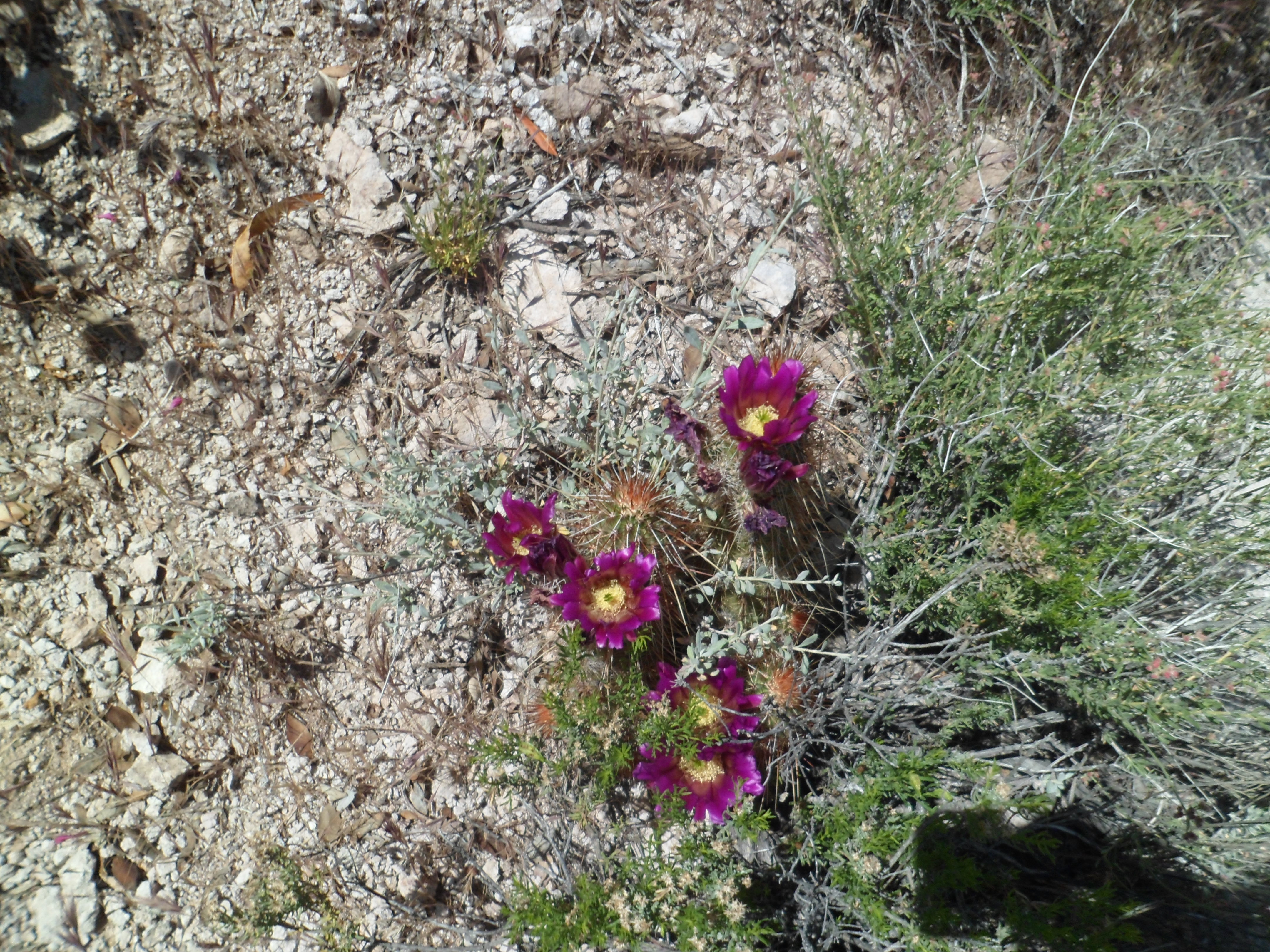
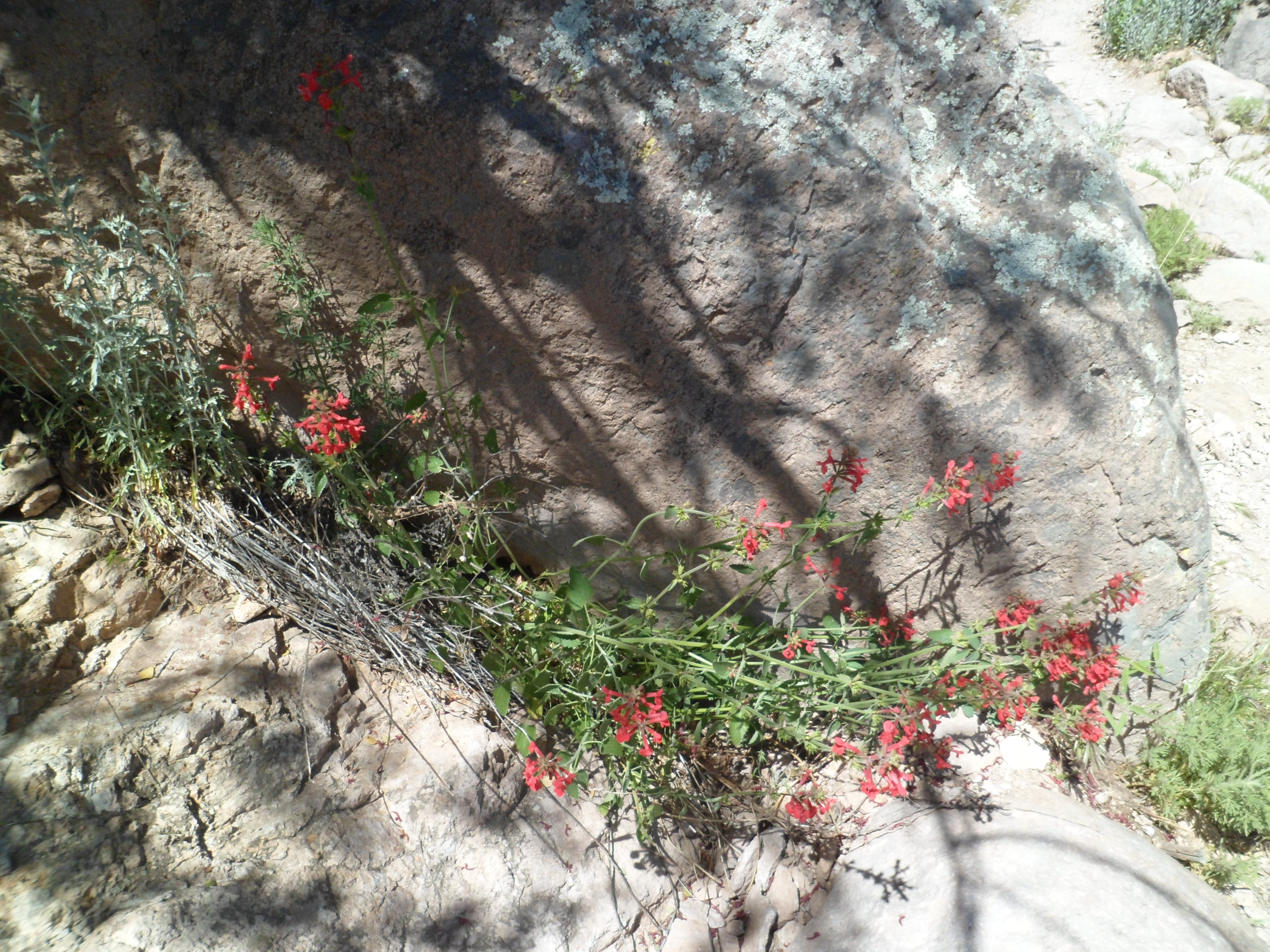
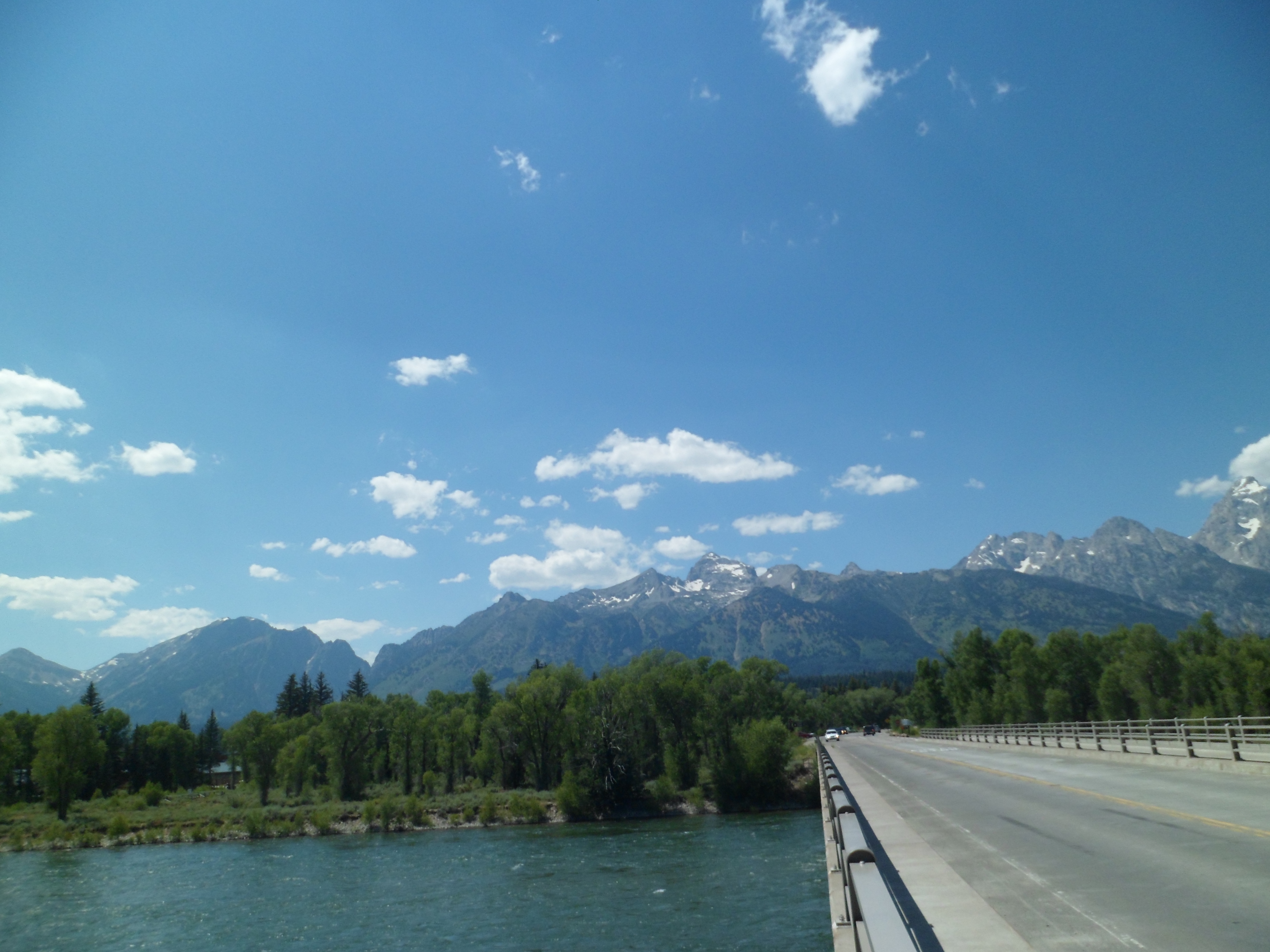
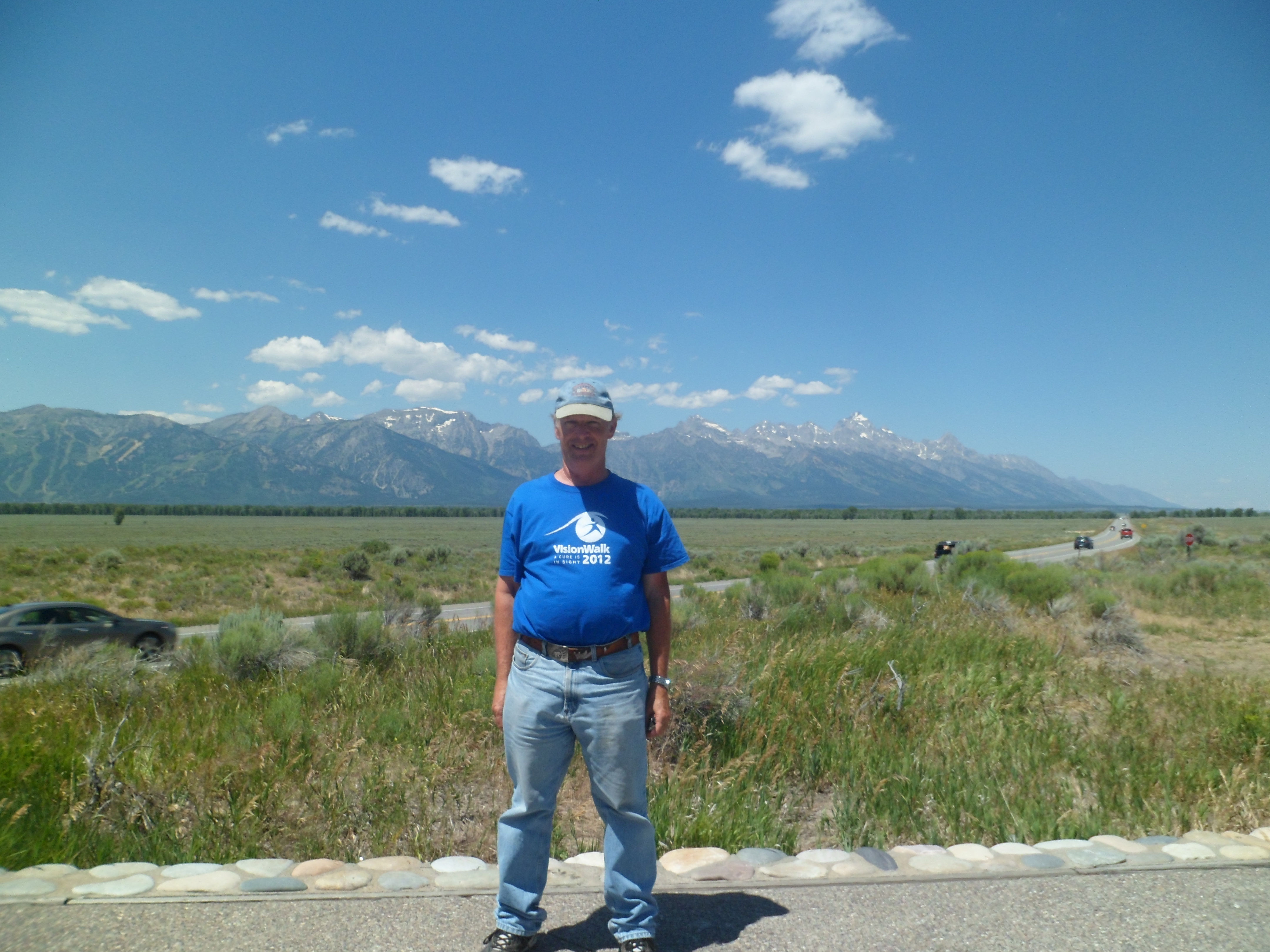
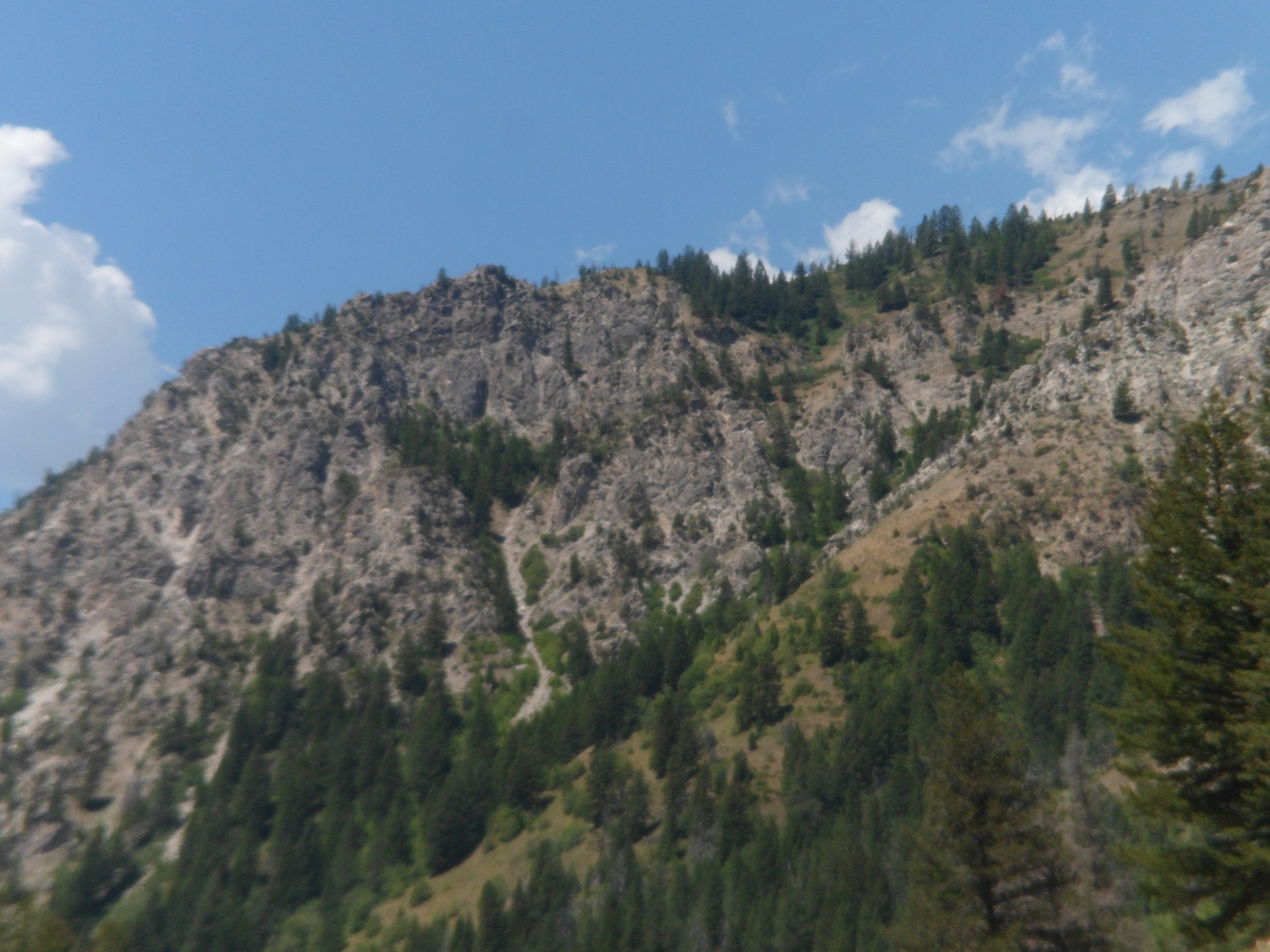
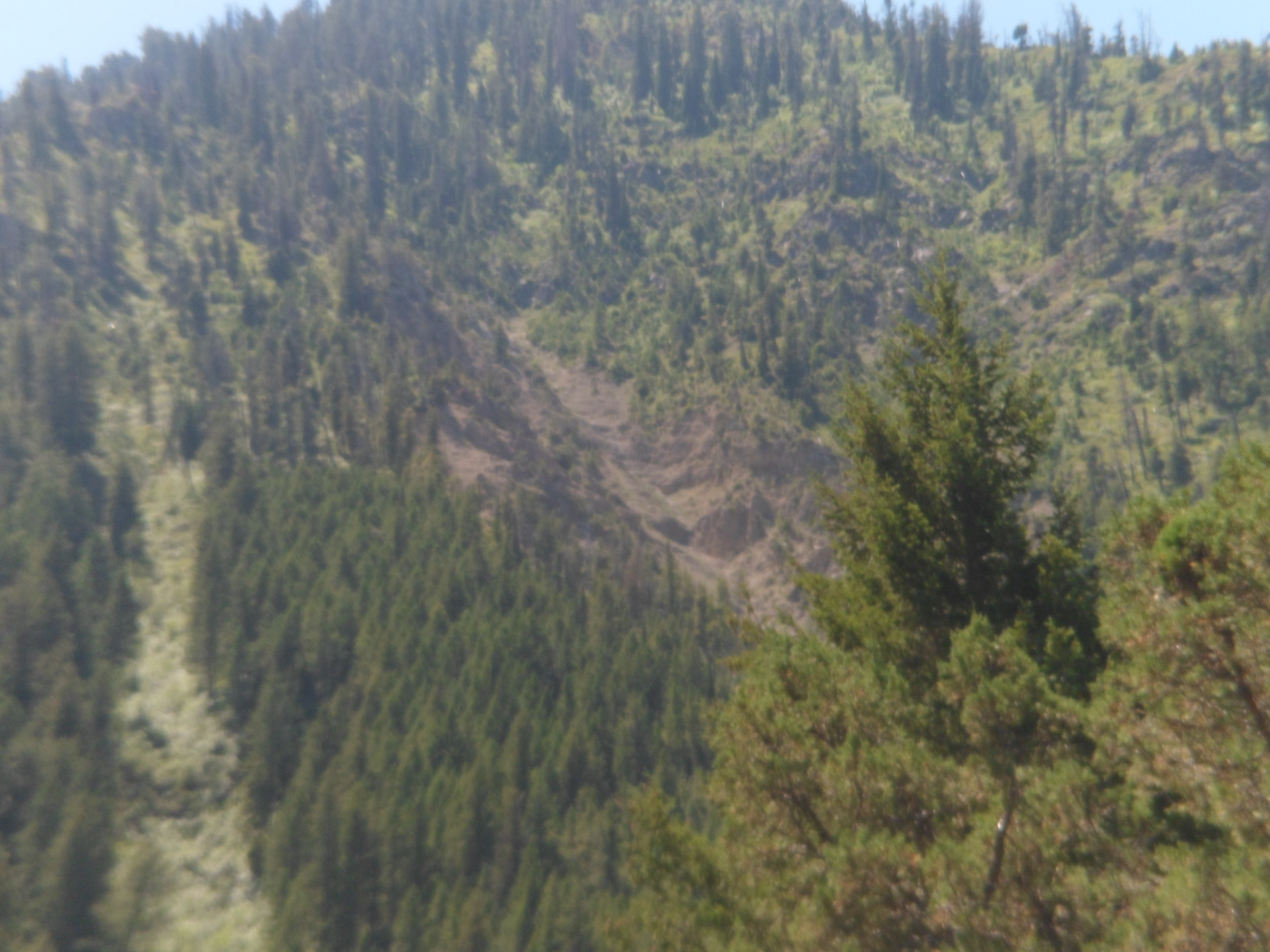
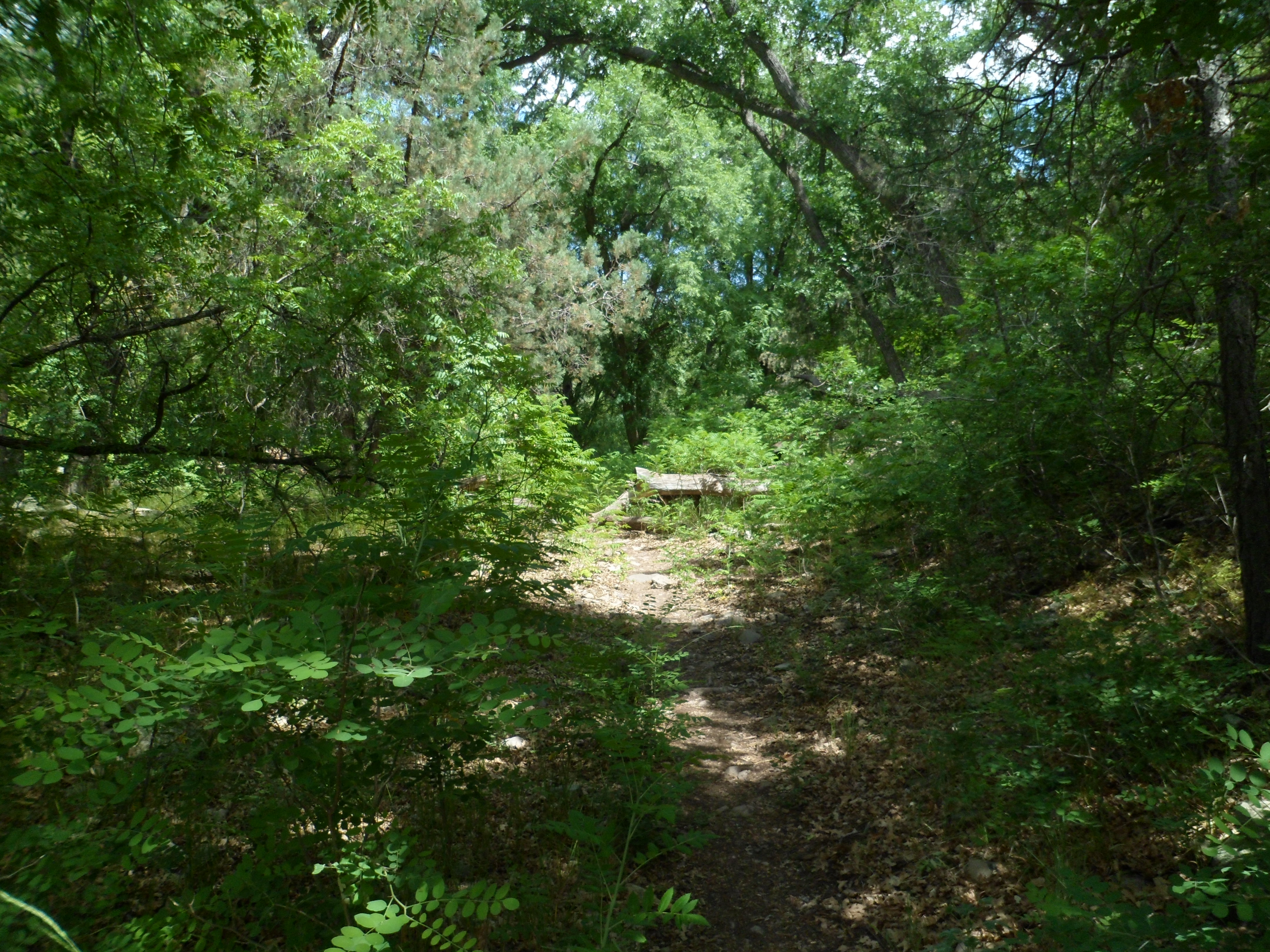
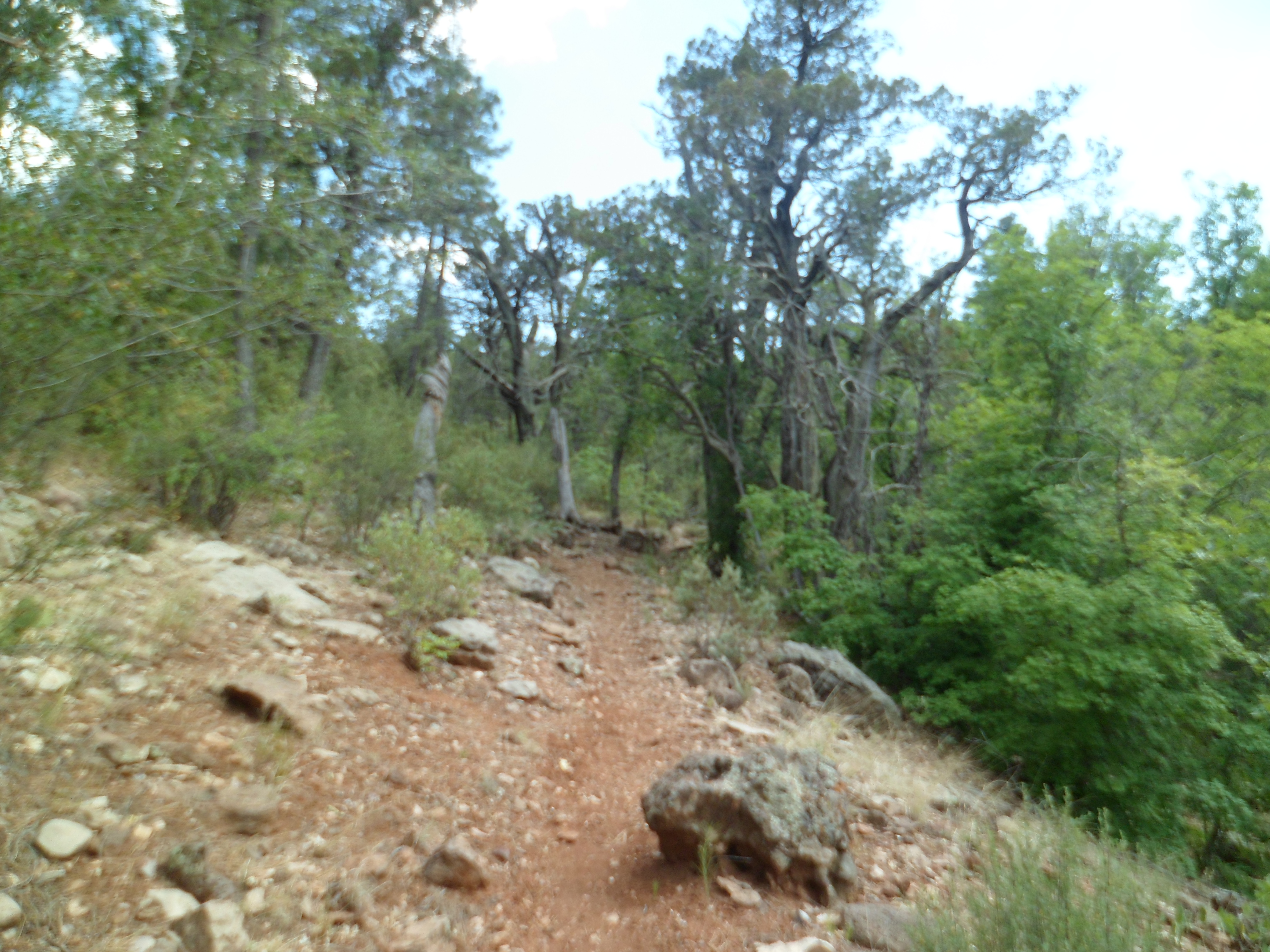
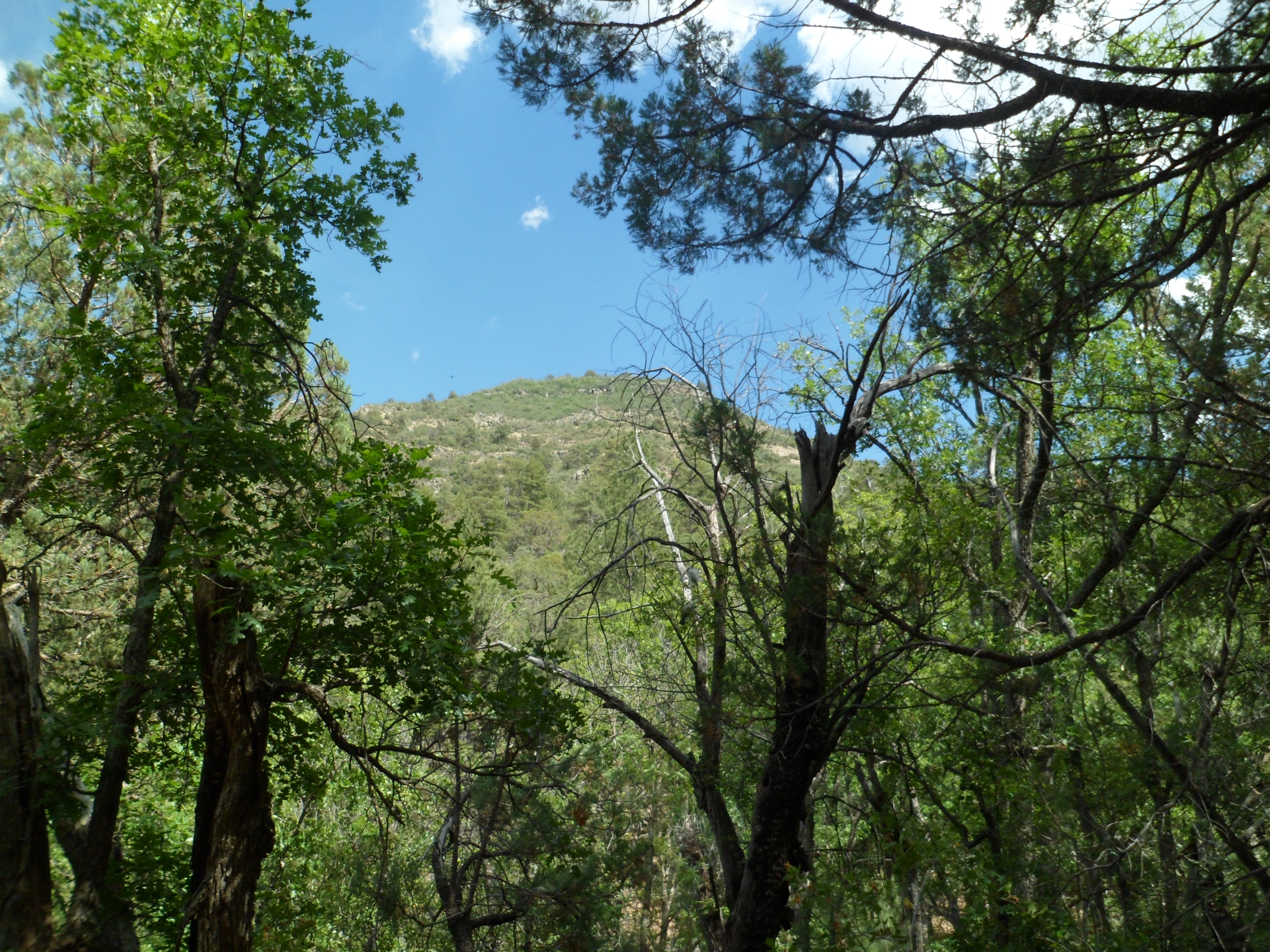
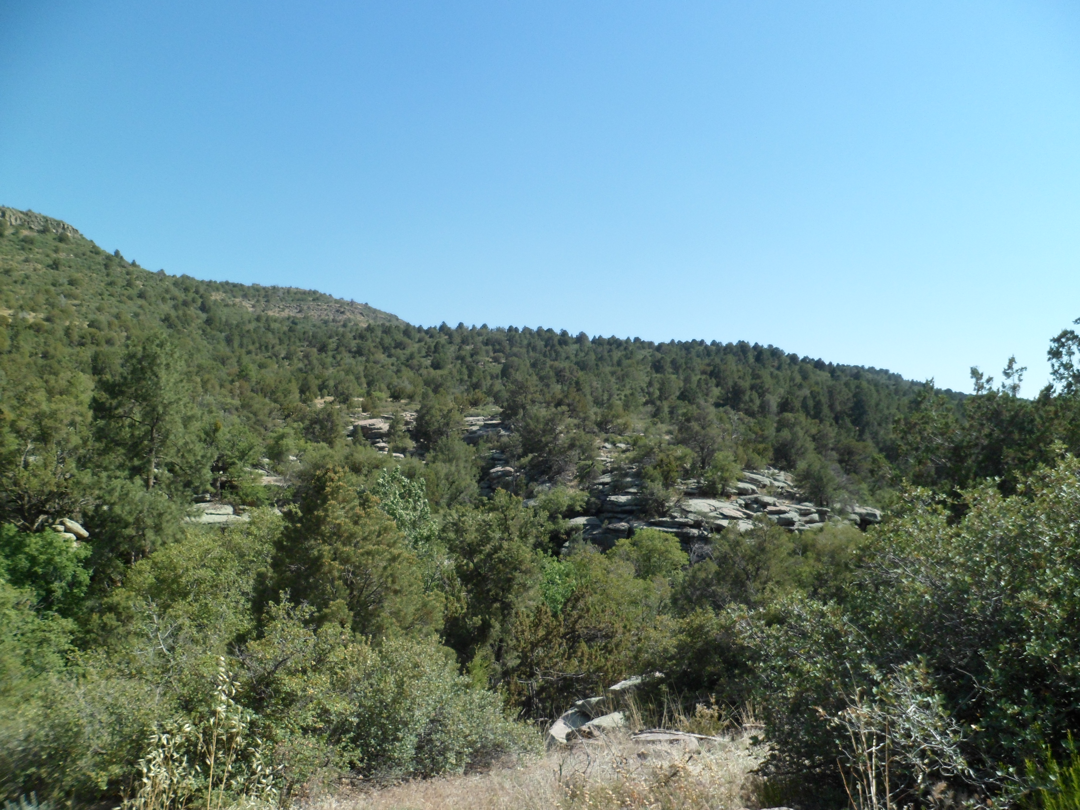
Yellowstone, to me, has always meant a jaunt to Old Faithful. This time, though, I focused solely on the eastern portion of the park. My goal was to at least reach Greybull, in the north central area of Wyoming, by bedtime. There was plenty to see, hear, touch and smell. The area from Moose Falls to Cody Peak is as full of exquisite experiences as anywhere in the world. Between the south entrance and Lewis Lake, there are at least two herds of American bison. 
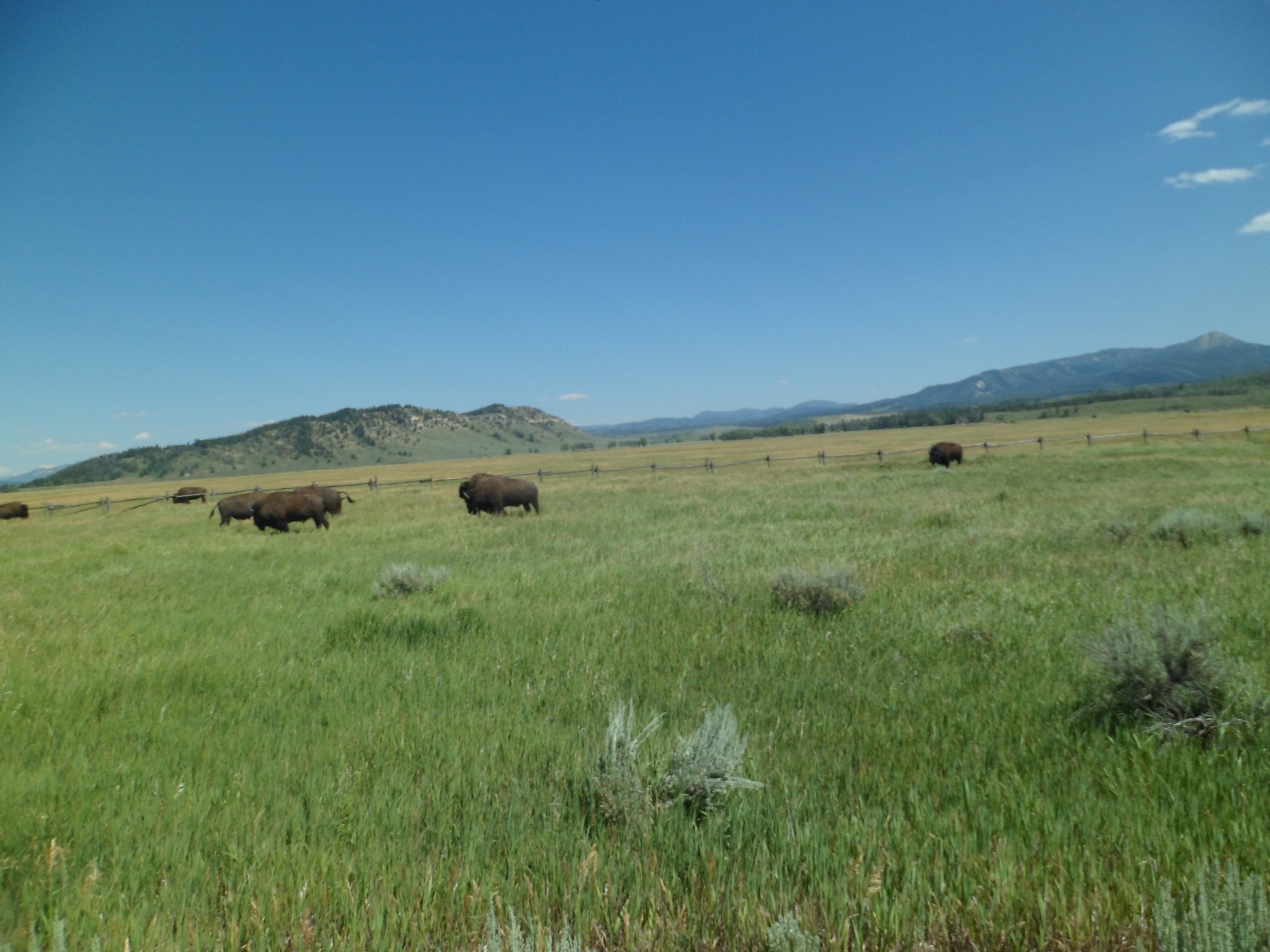
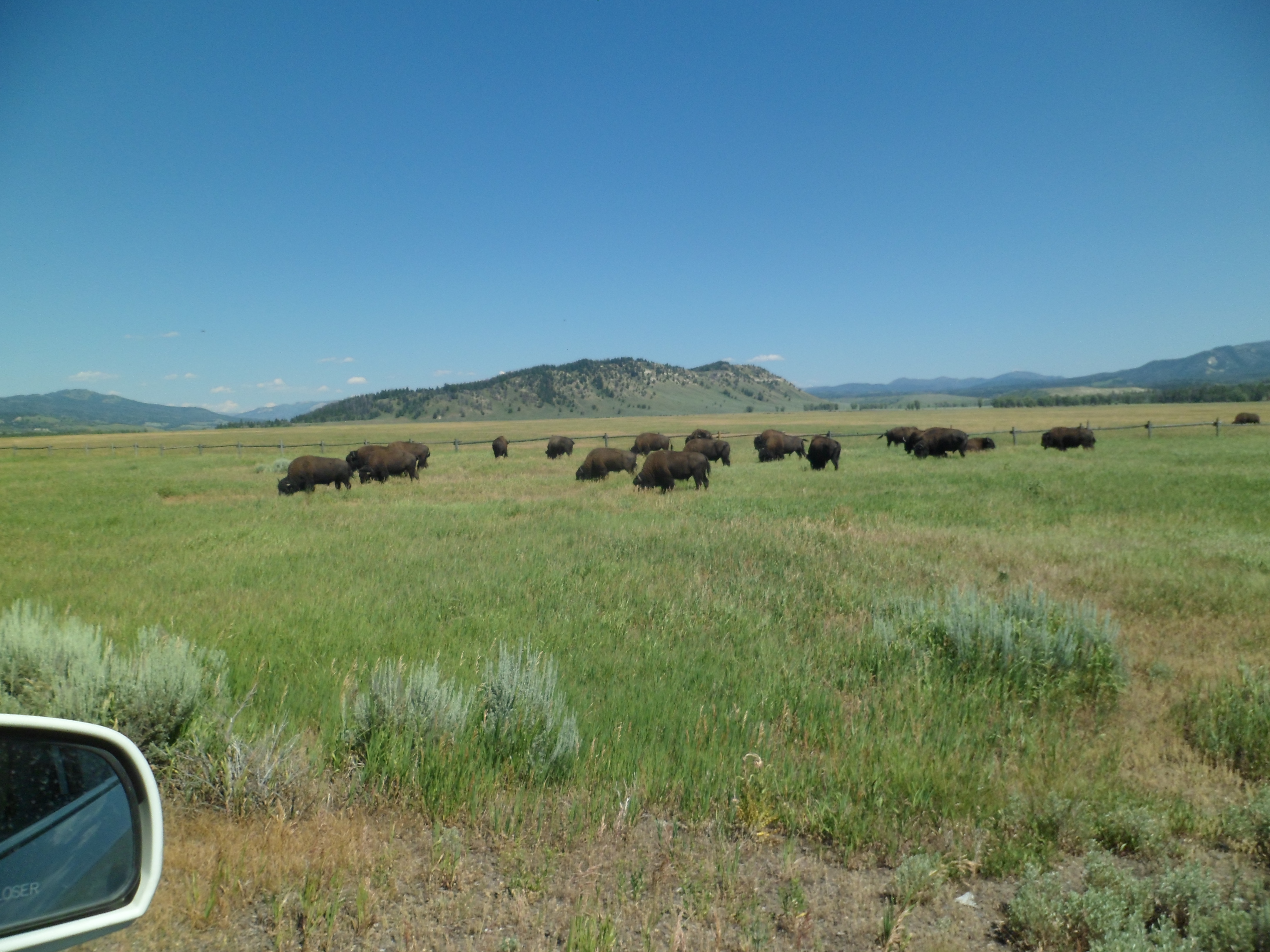
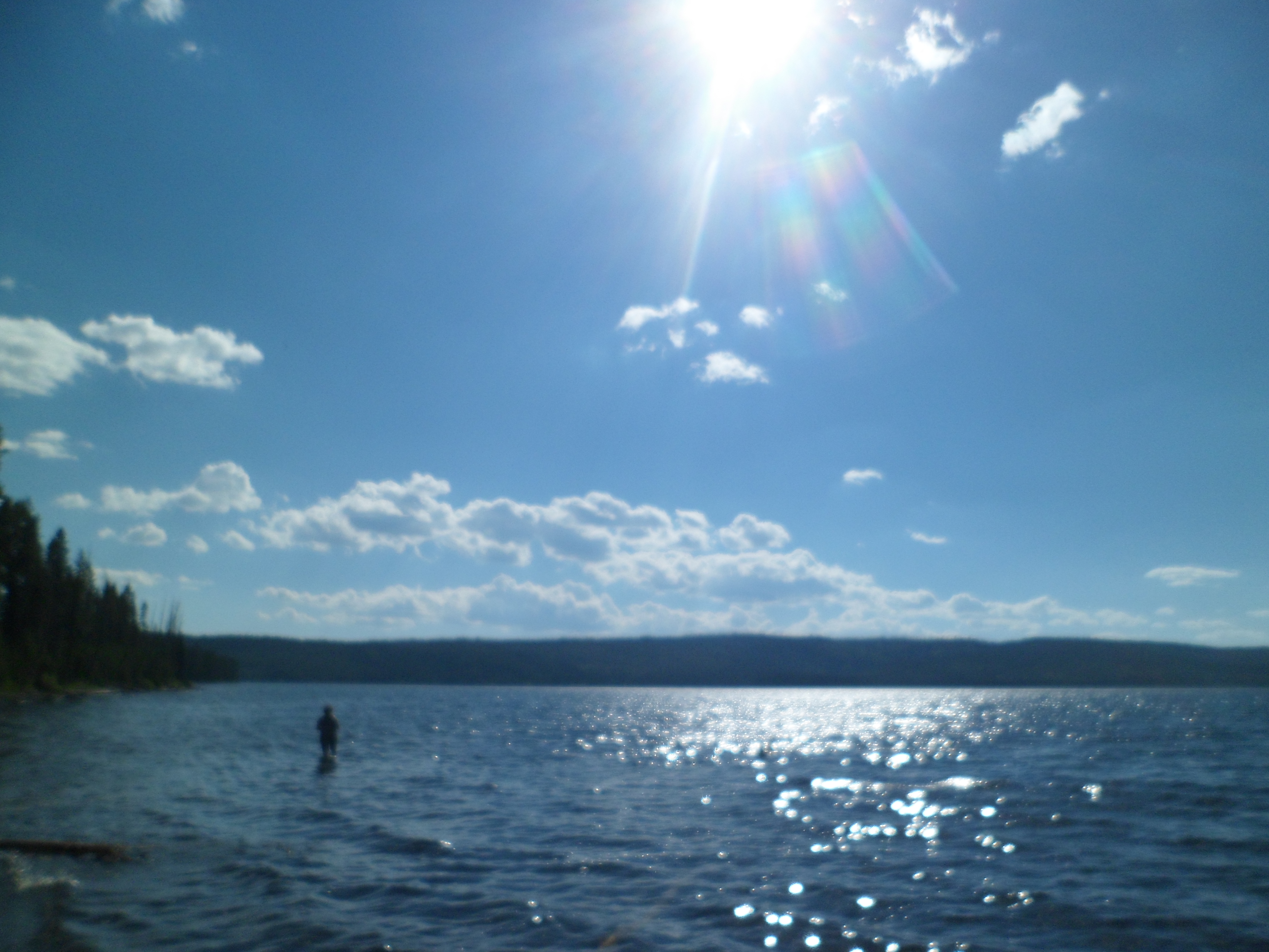
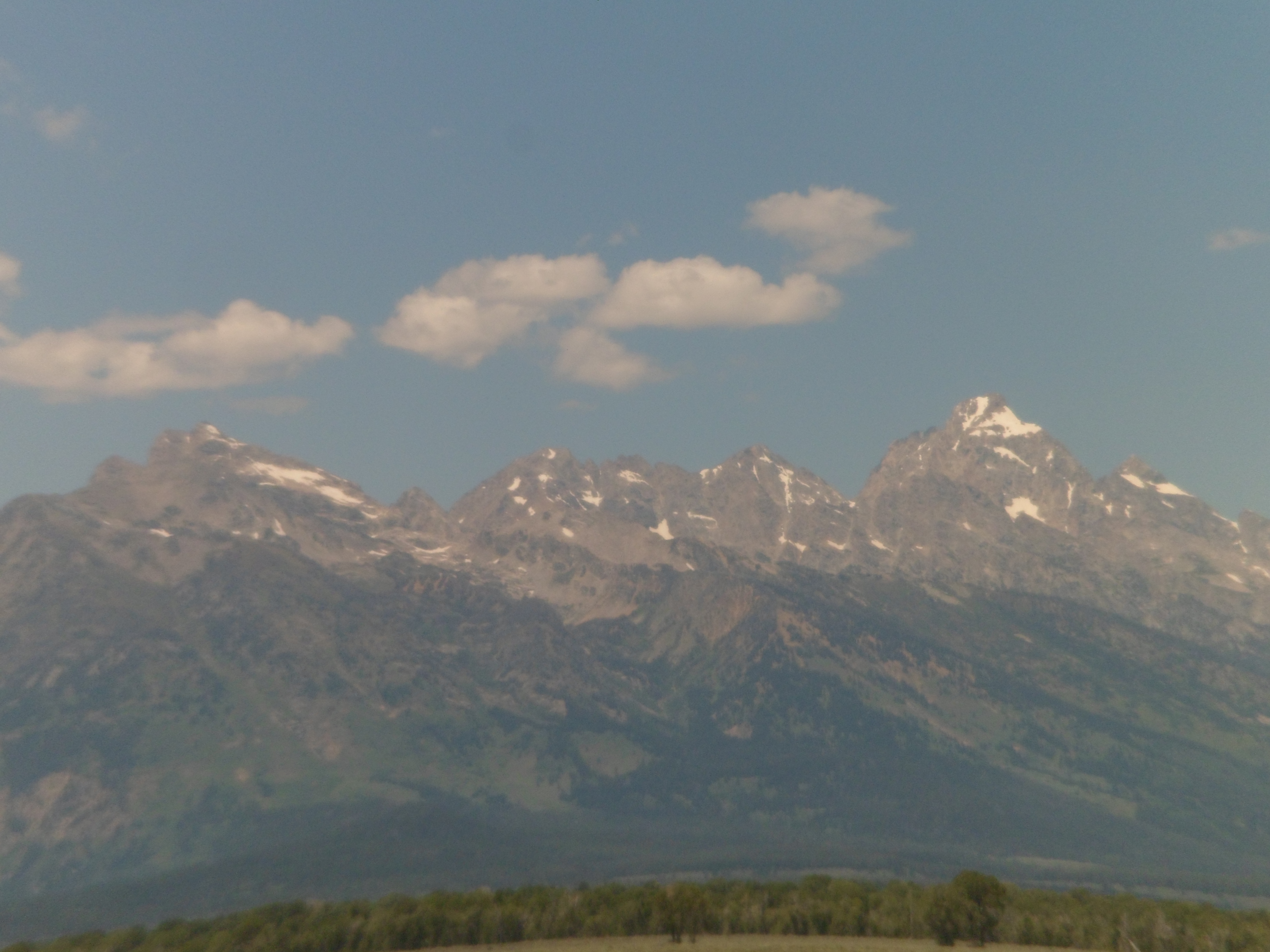
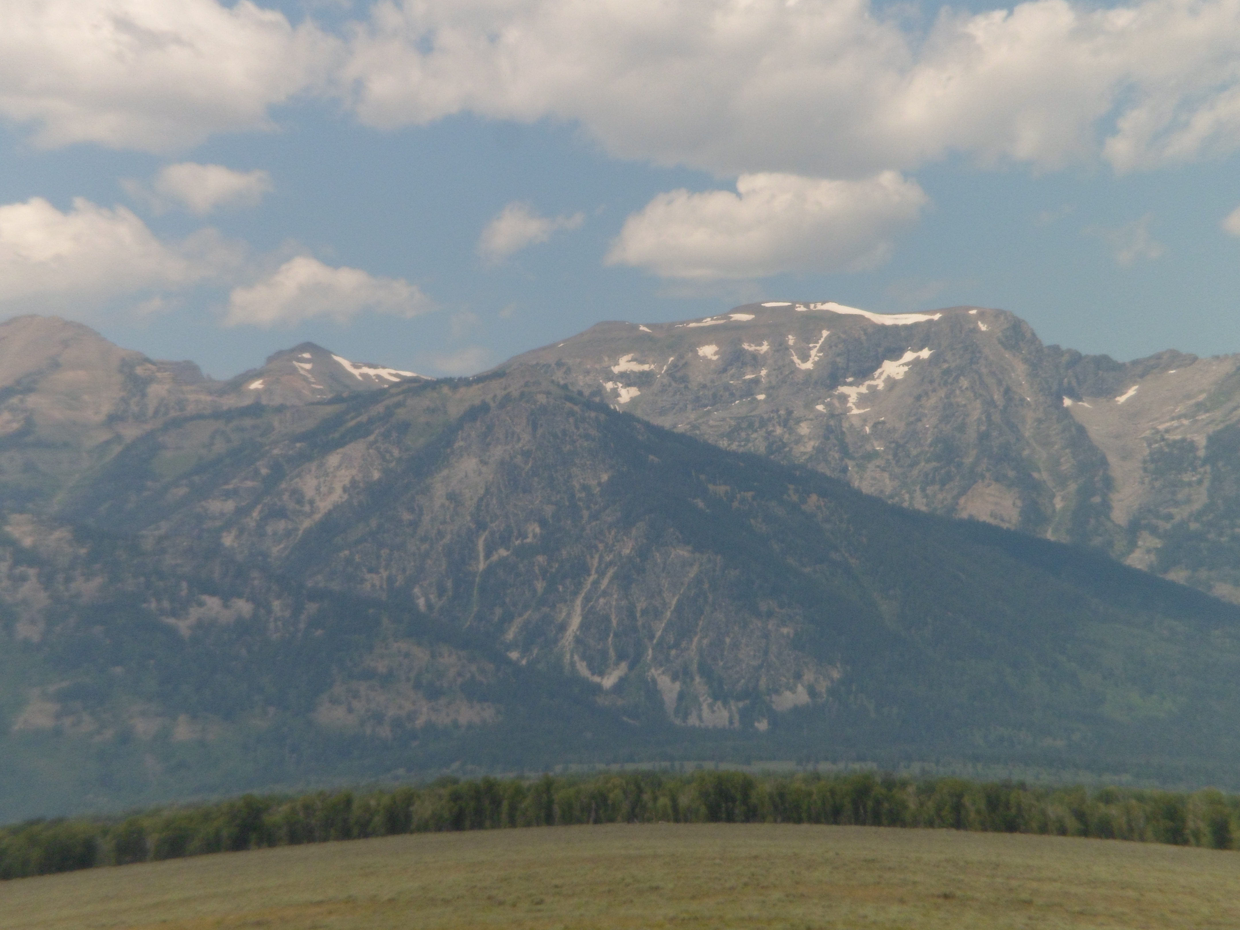
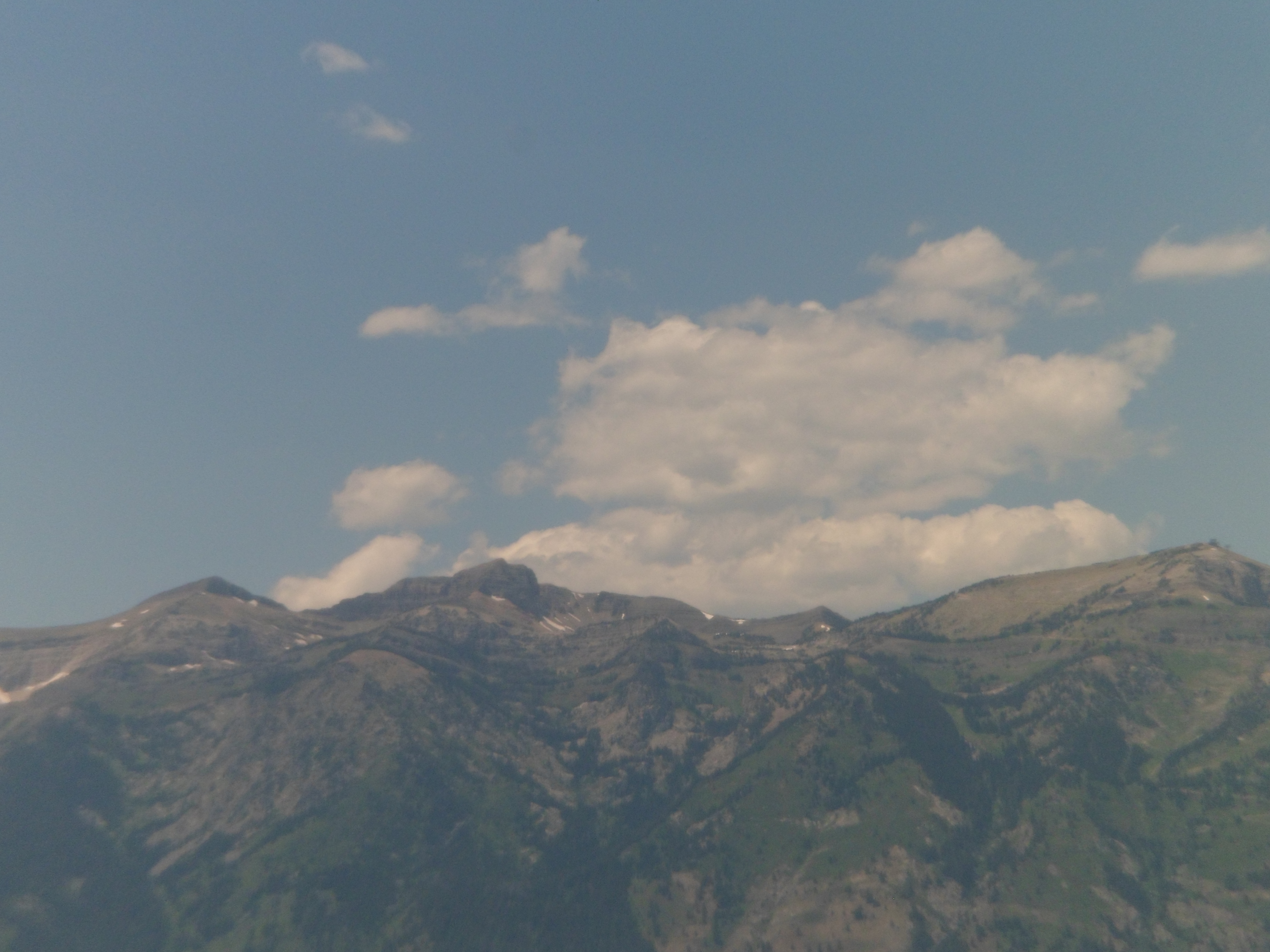
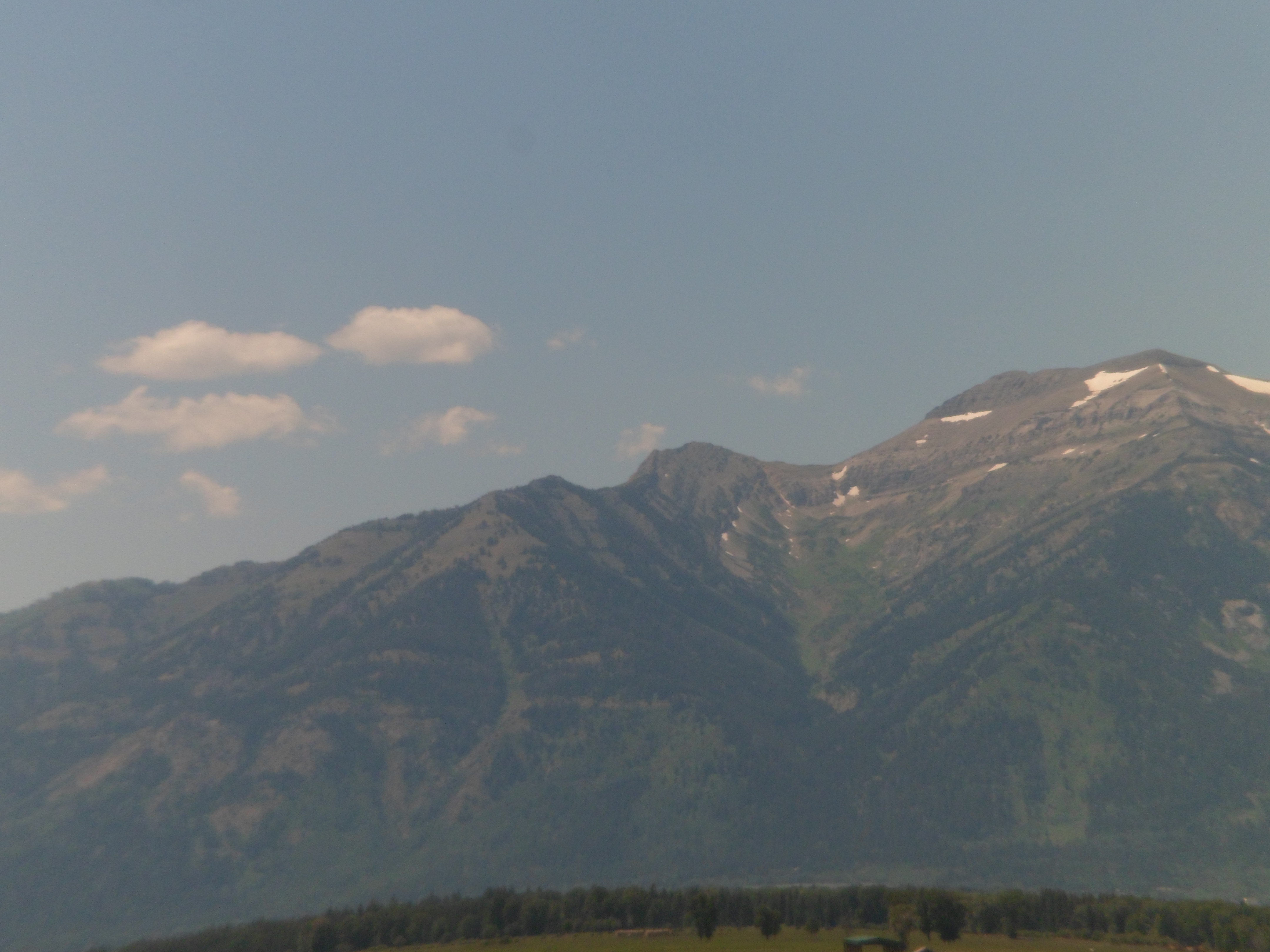
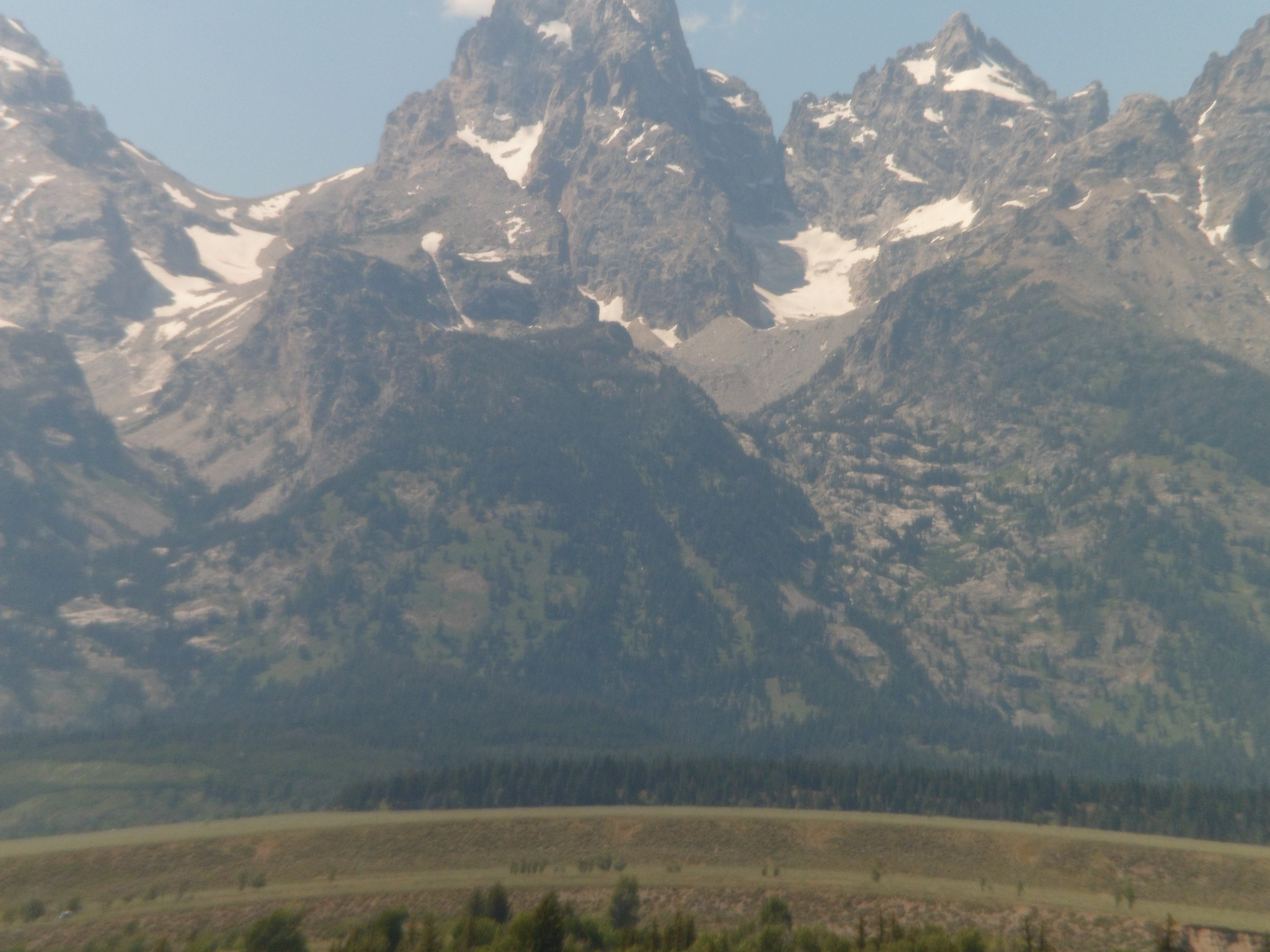
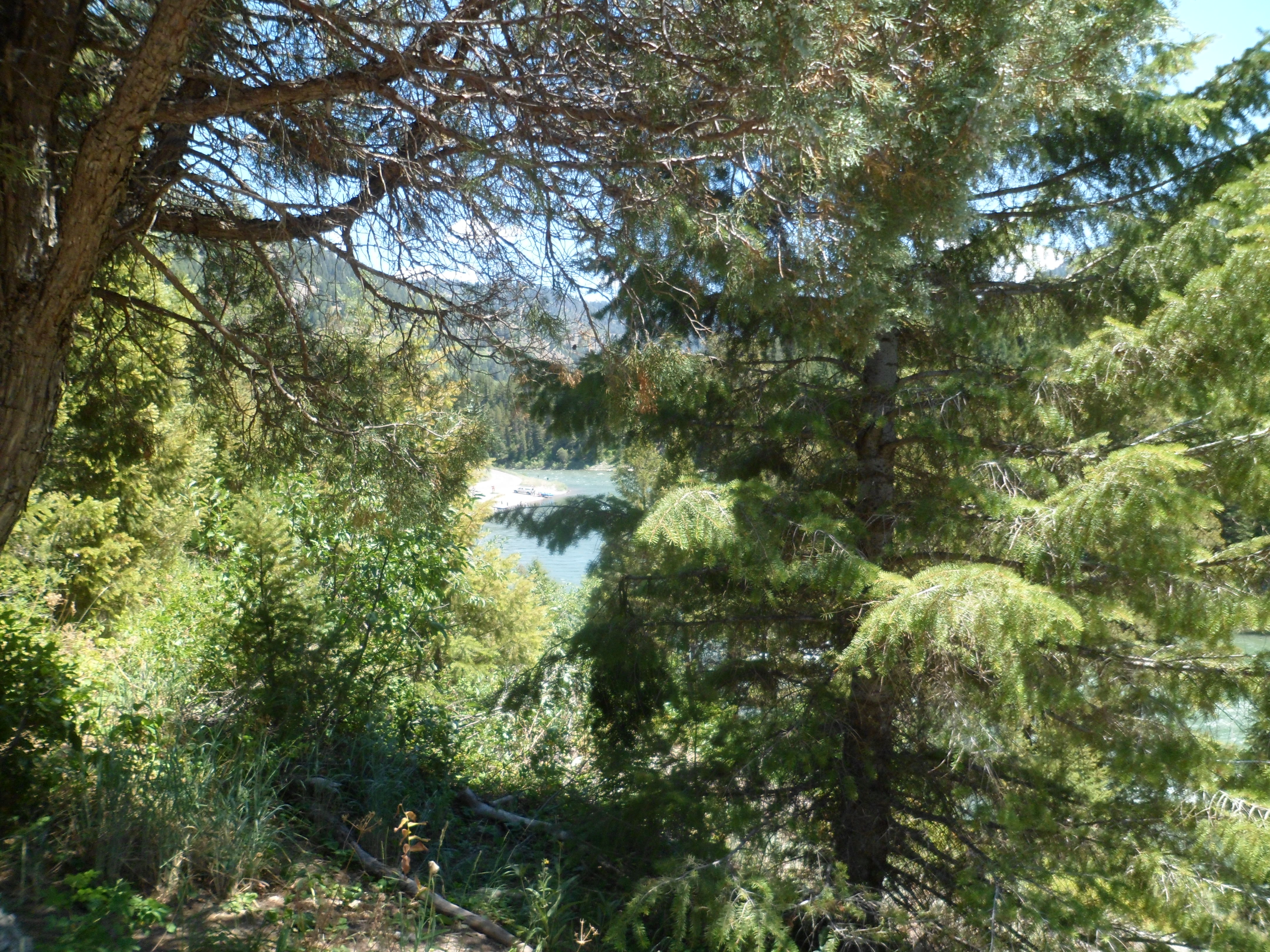
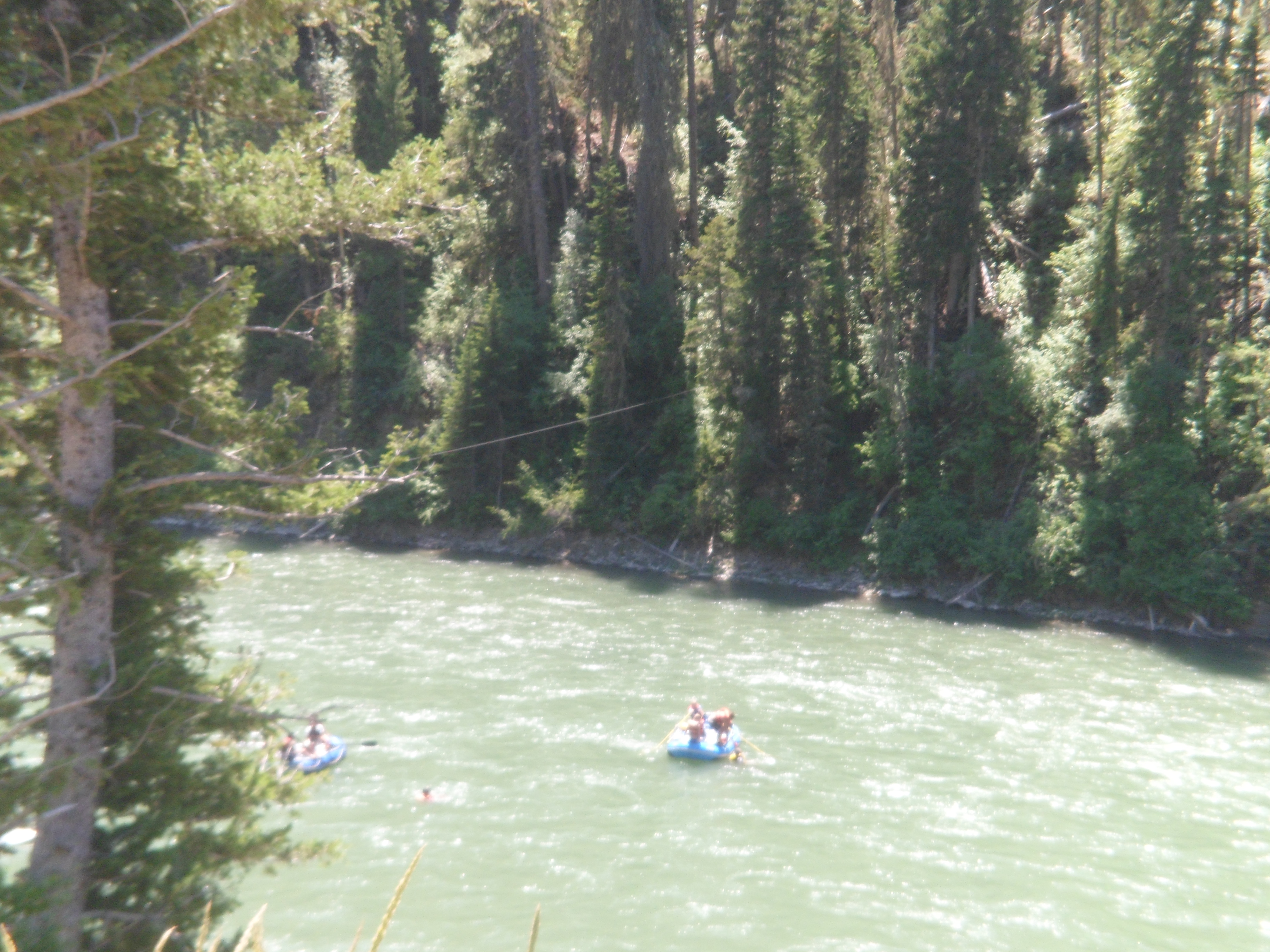
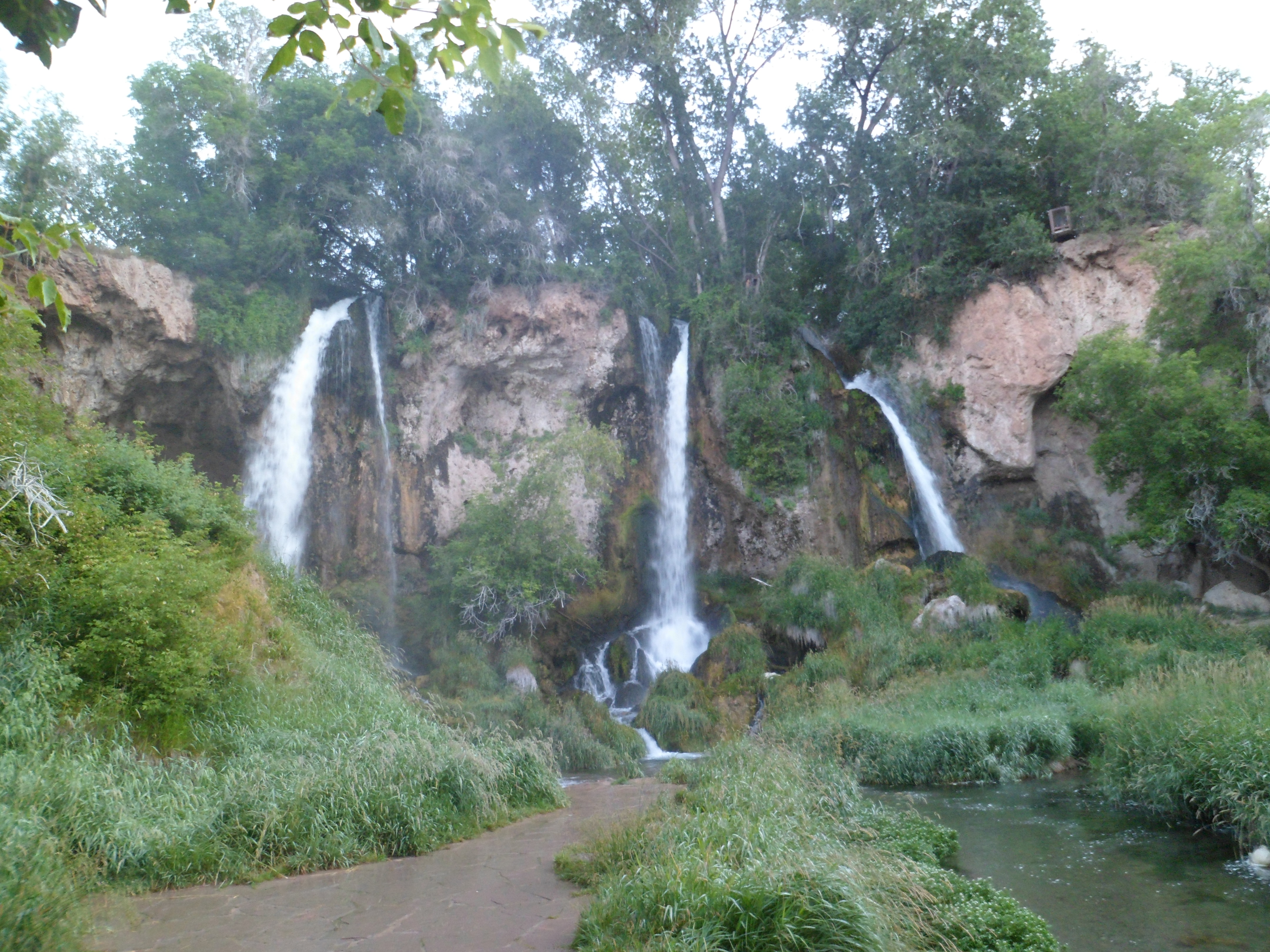
The main thing about bison is- know that you, the human, are their favourite kind of throw toy. Get closer than 300 yards and you’d better be the Kipchoge Keino of your family. Bison bulls can haul it! Lewis Lake, and its neighbour, Shoshone Lake, are warm- bath water warm. The pine forest gave one of my fellow travelers the impression that Shoshone Lake would be quite cold. She dipped her foot in, ever so apprehensively, and gave a shout of joy, as she then immersed herself, full-on, in the humongous mineral bath. Here are some views of Lewis Lake. Note that the Teton Range stays with us, as a magnificent backdrop.


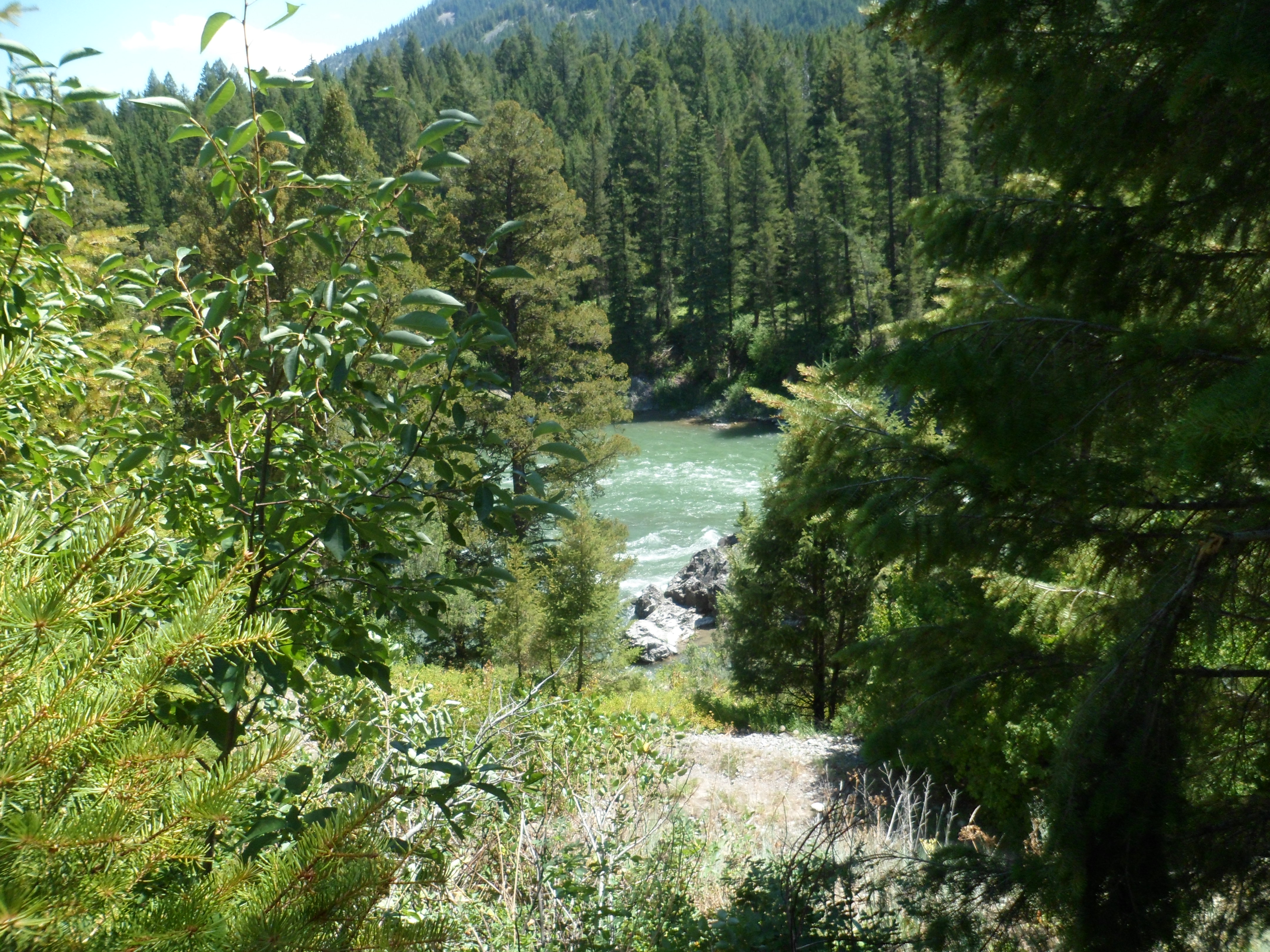
The lake is fed by the river of the same name. Both are named for Meriwether Lewis, commander of the early 19th Century expedition to the mouth of the Columbia River.

Shoshone Lake, named for the indigenous people who inhabited the area on all sides of the great parks, is nearly twice the size of Lewis. It also appeared to draw more swimmers.

These lakes call out: “Slow down and soak awhile”. Yet onward I go.
Next: West Thumb and Yellowstone Lake.


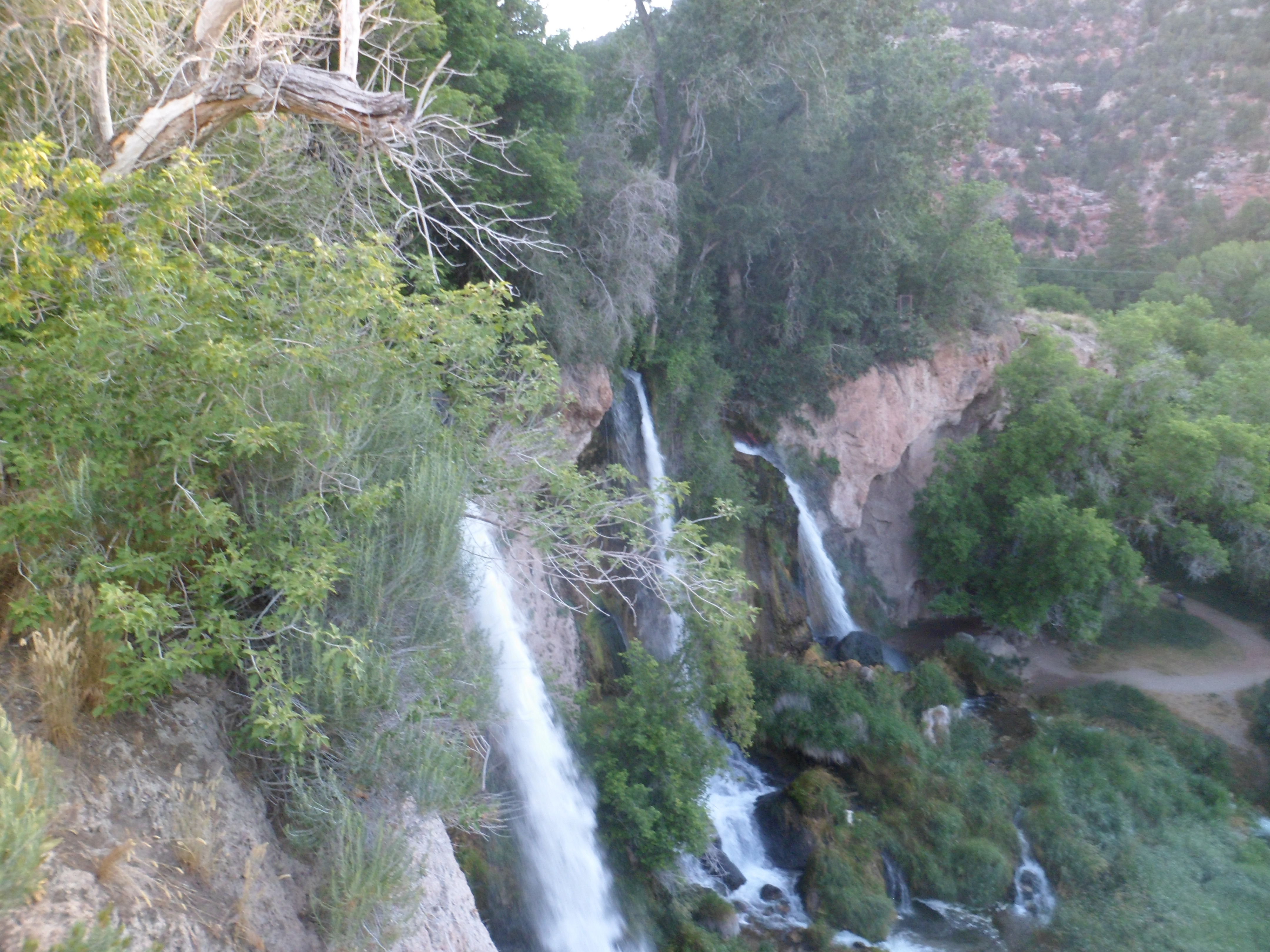


 .
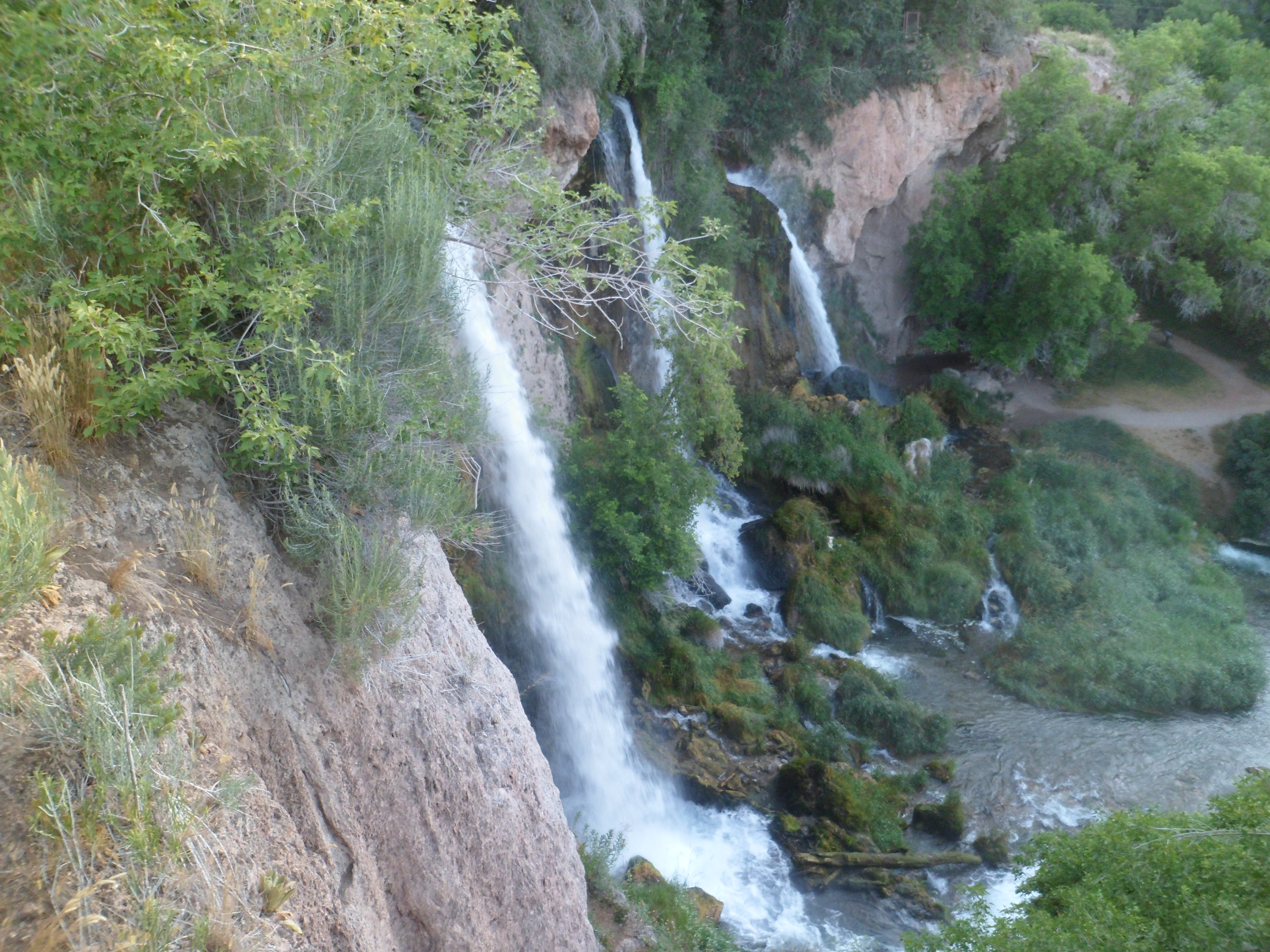
.