There is, at Gettysburg Battlefield National Historical Park, an eerie stillness- even in midday, and even with tourist hordes disgorging from buses, filling the Visitor Center, and lining up for bicycle and Segway tours. The fallen rule these precincts.
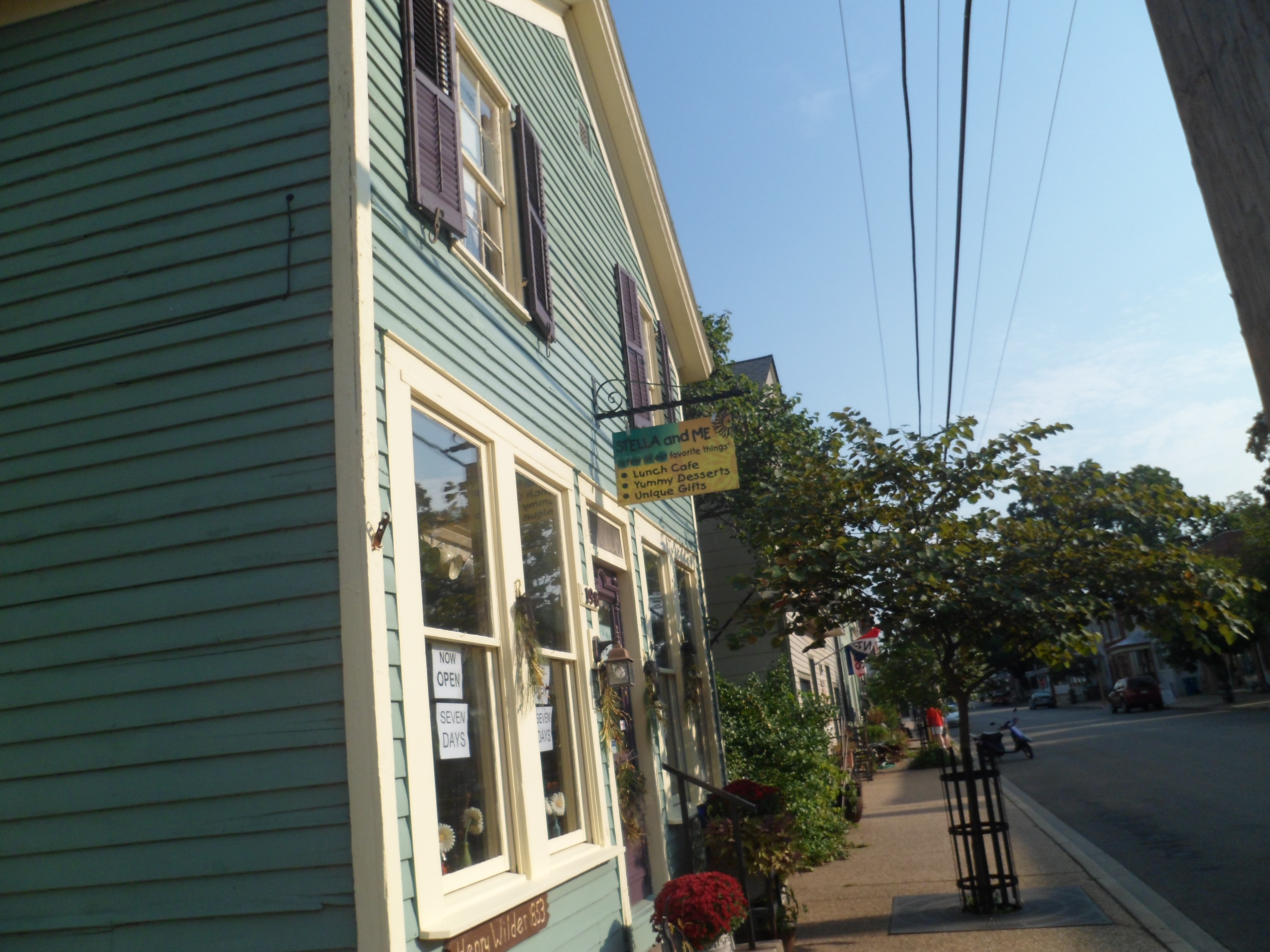
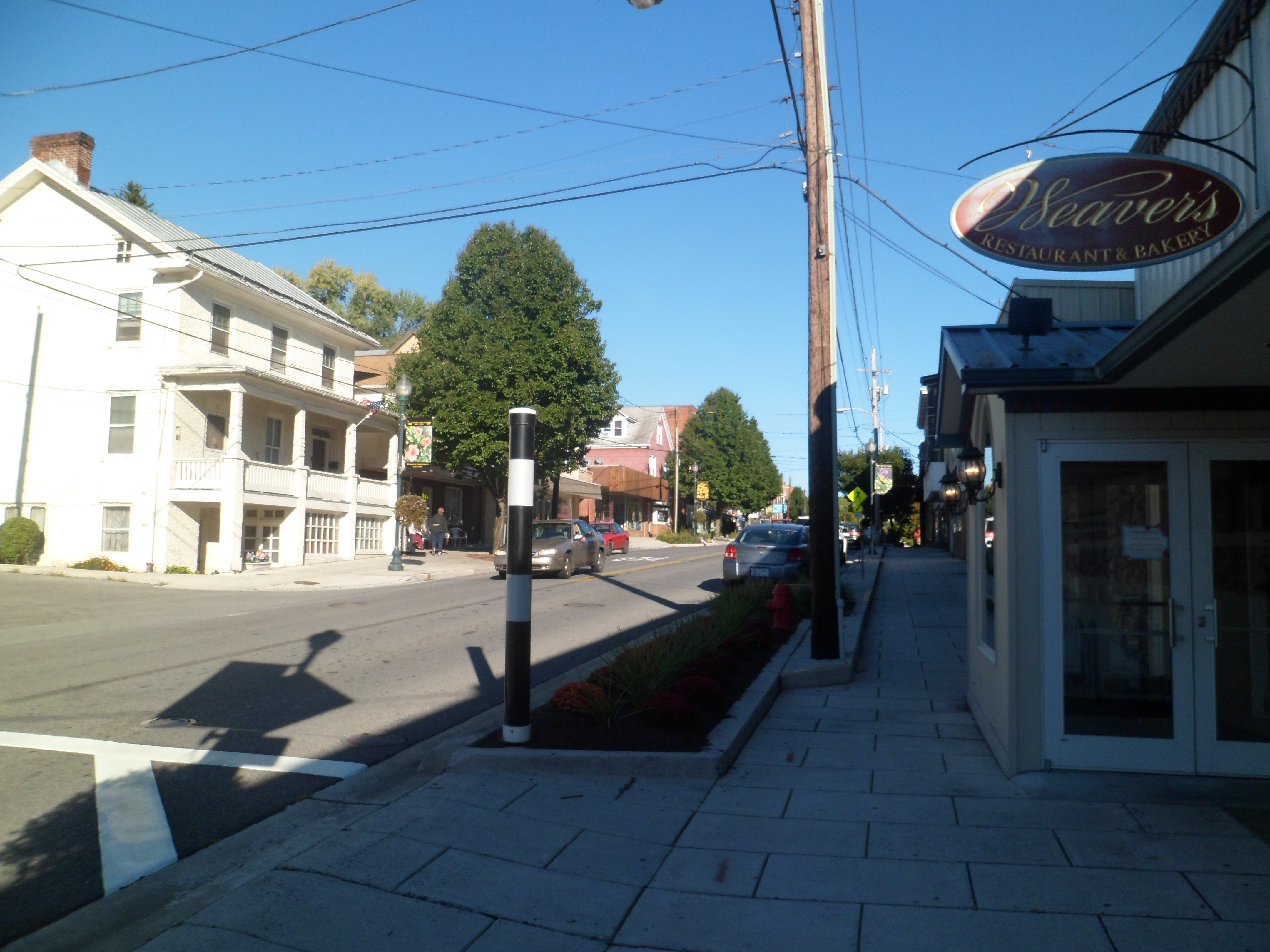
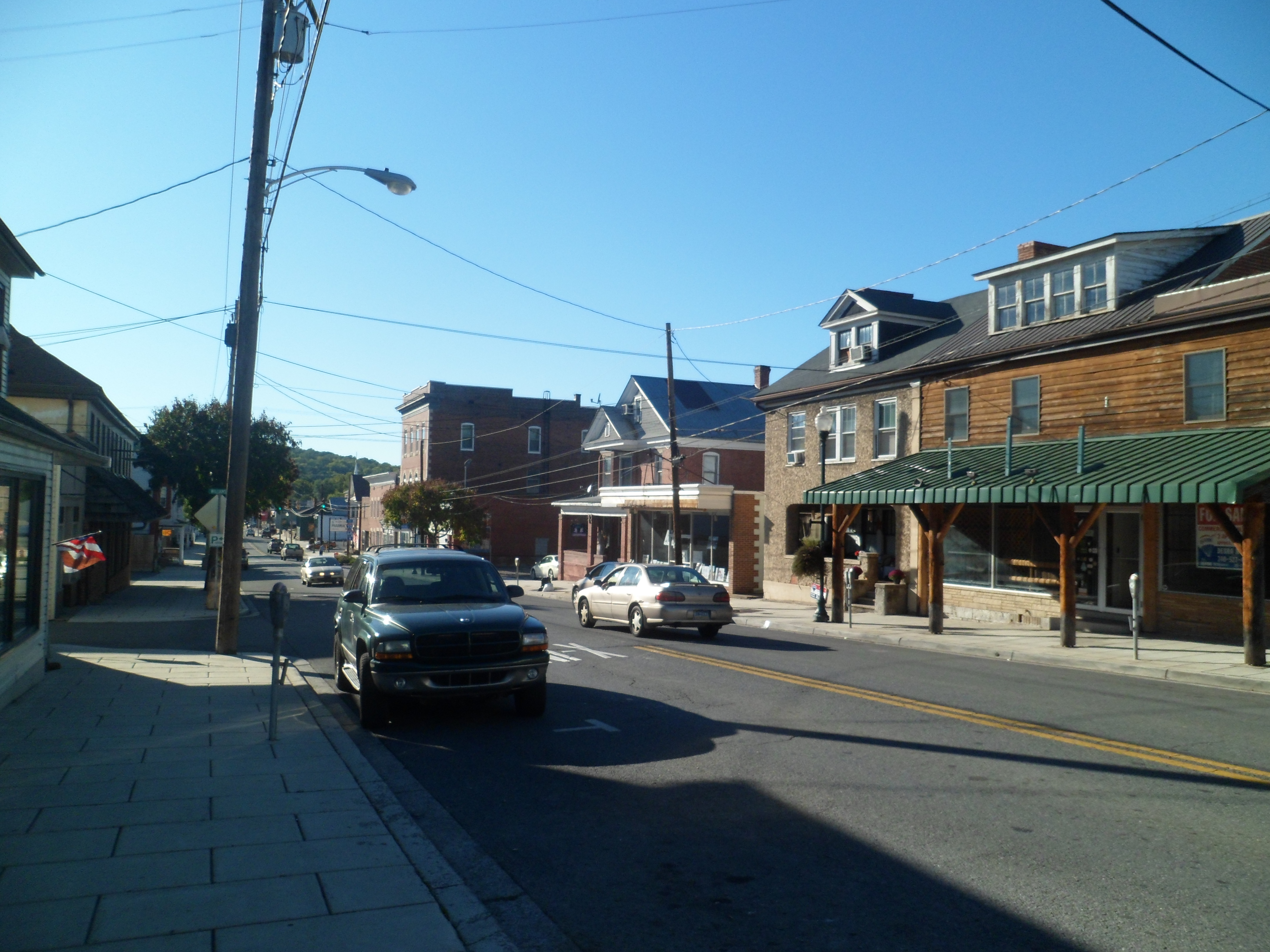
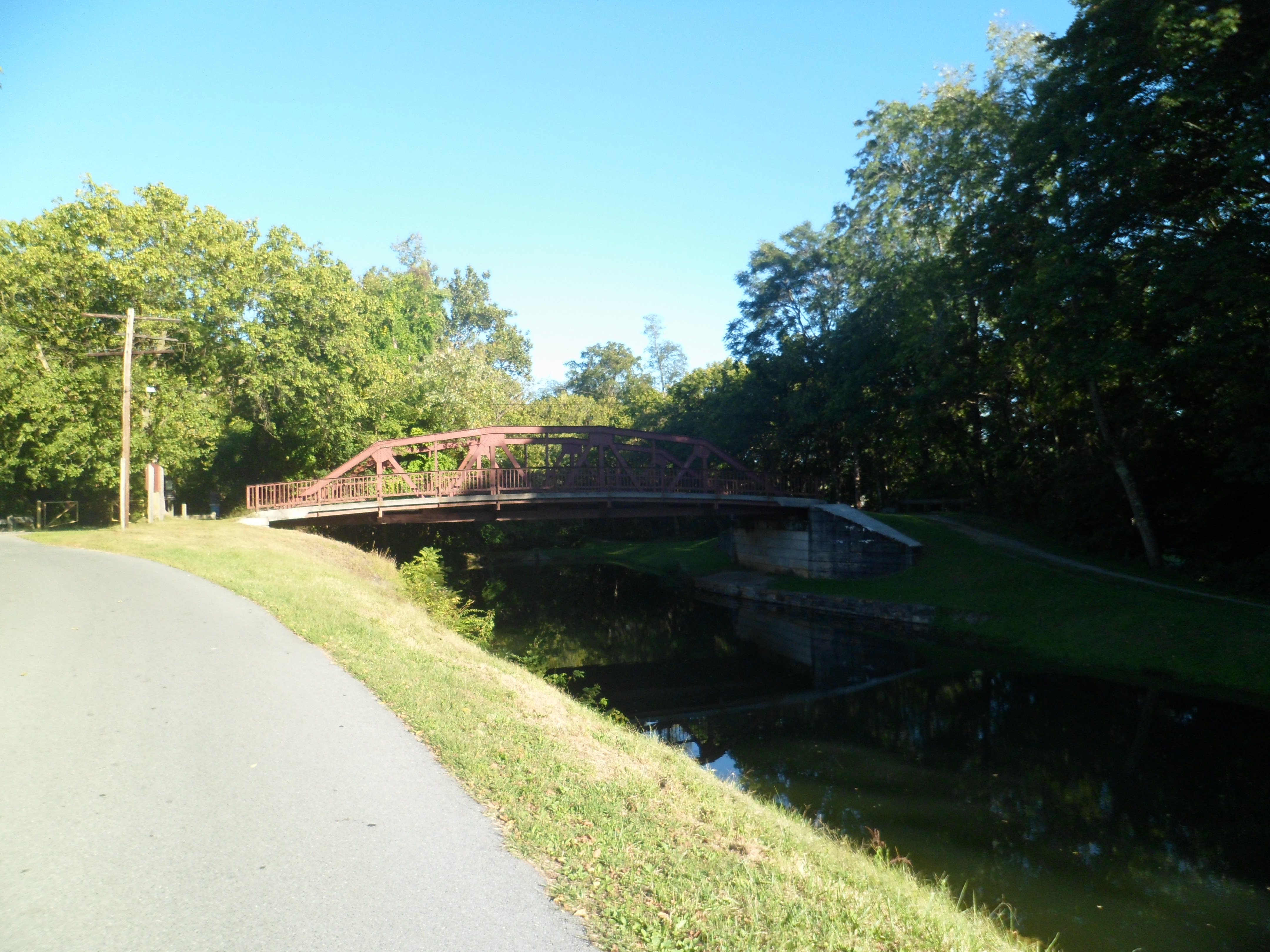
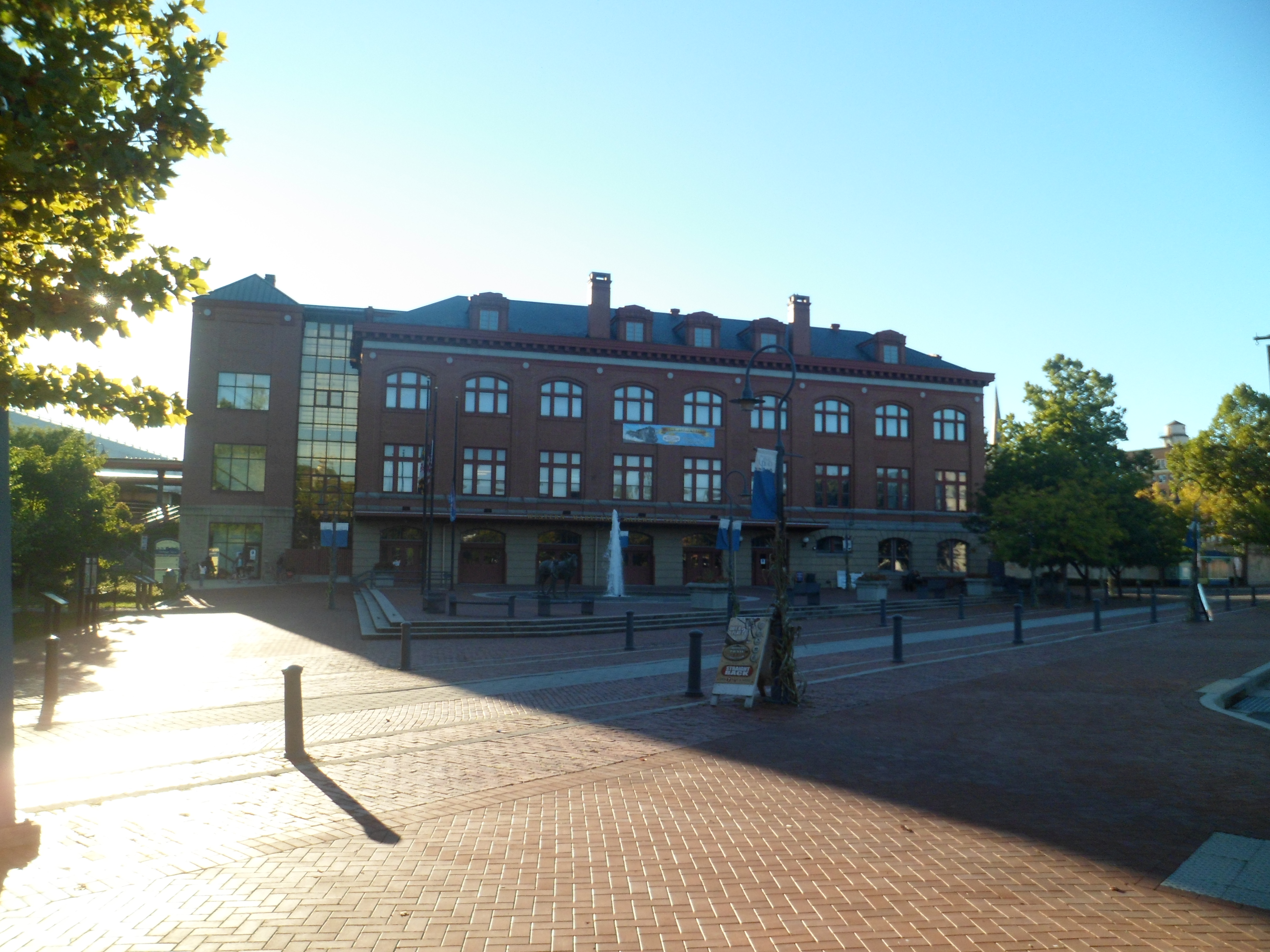
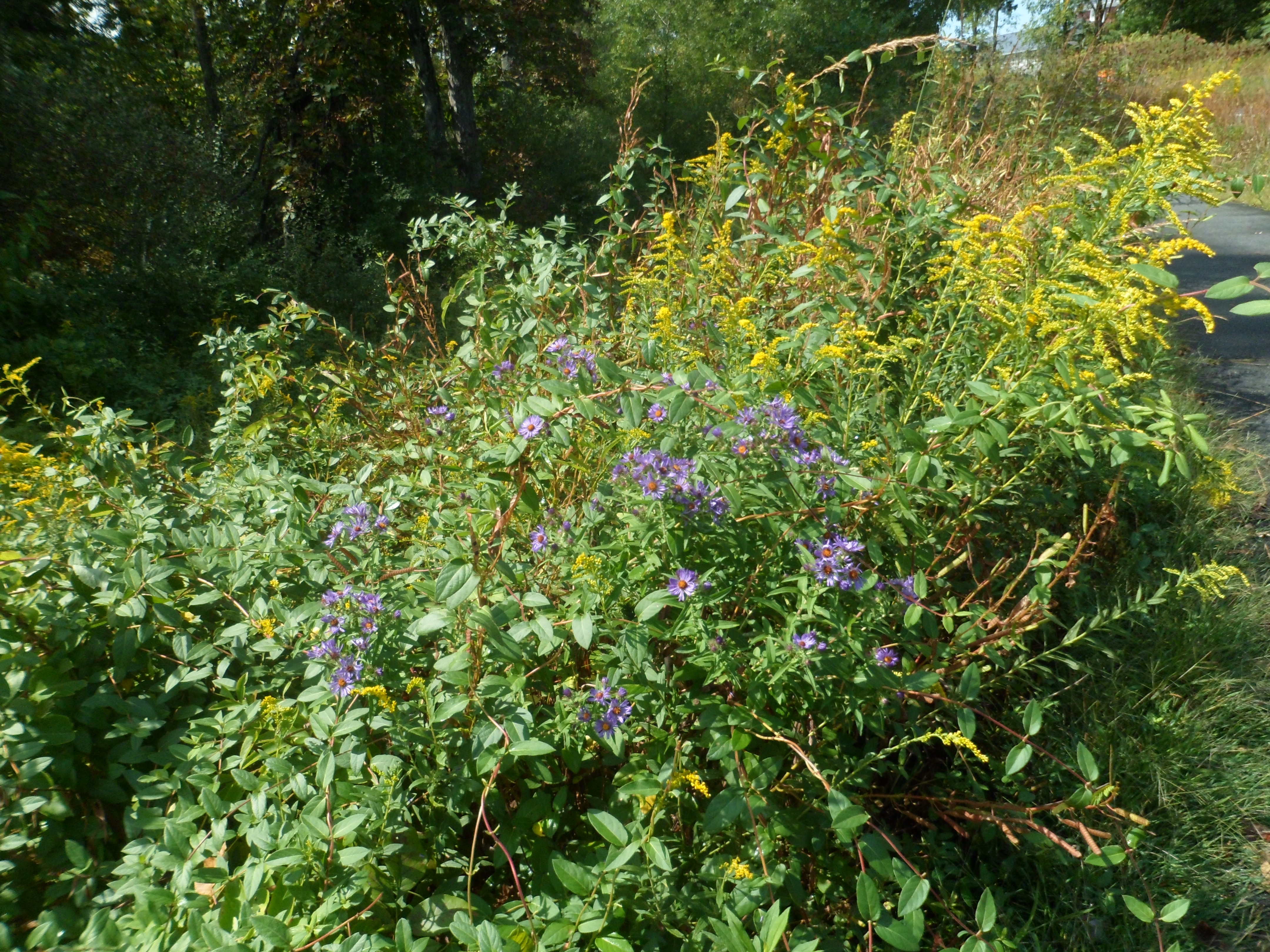
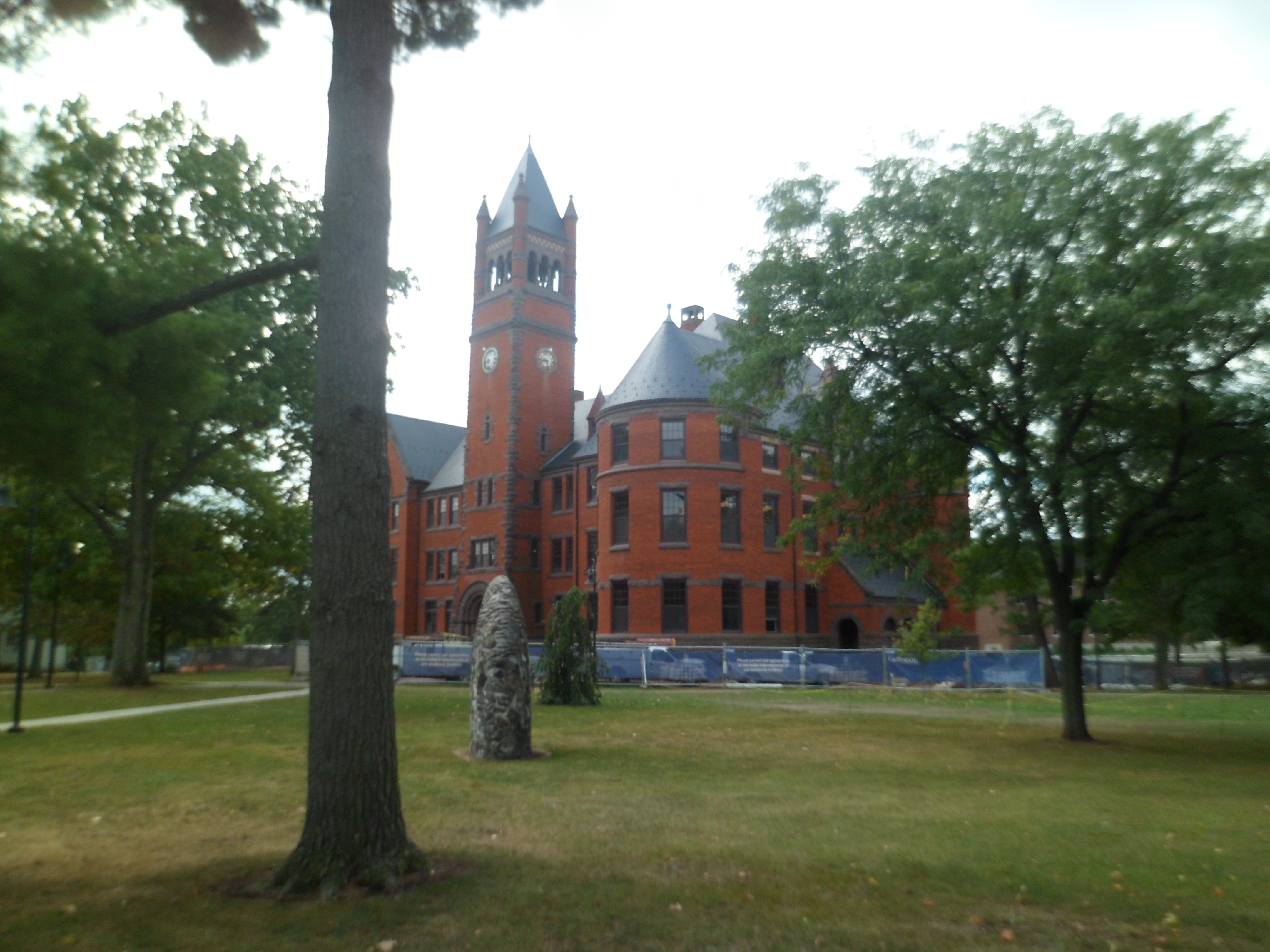
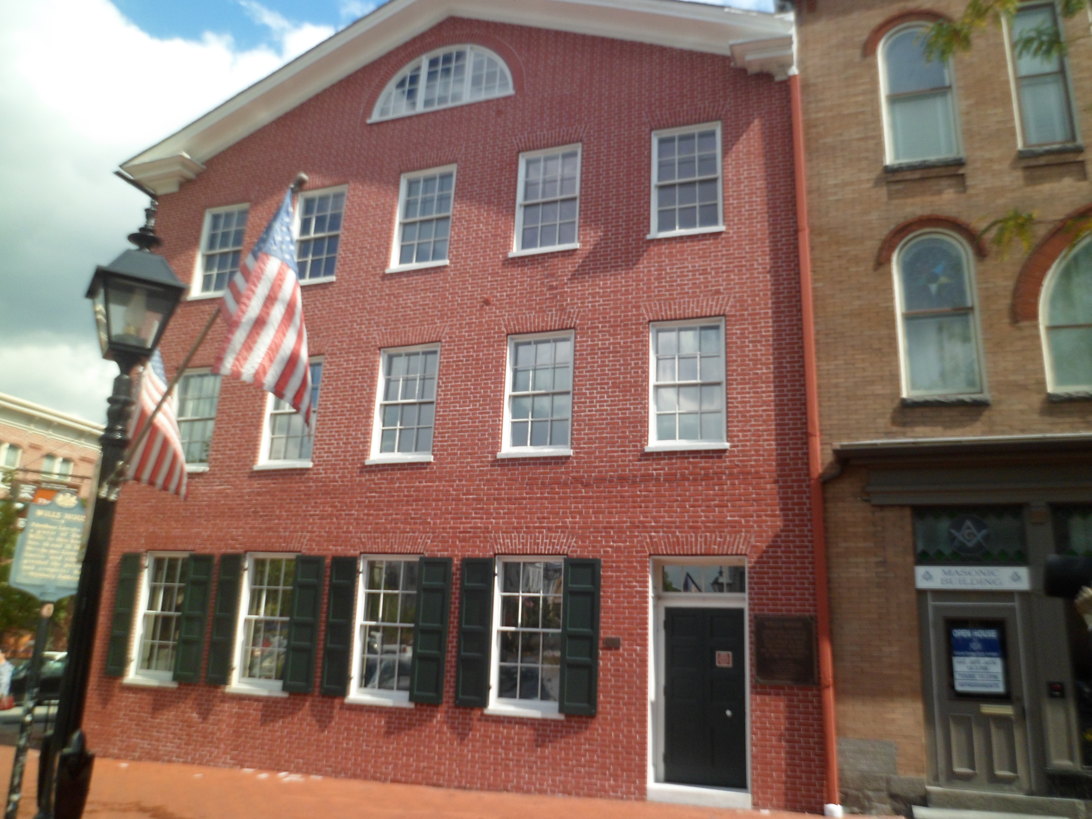
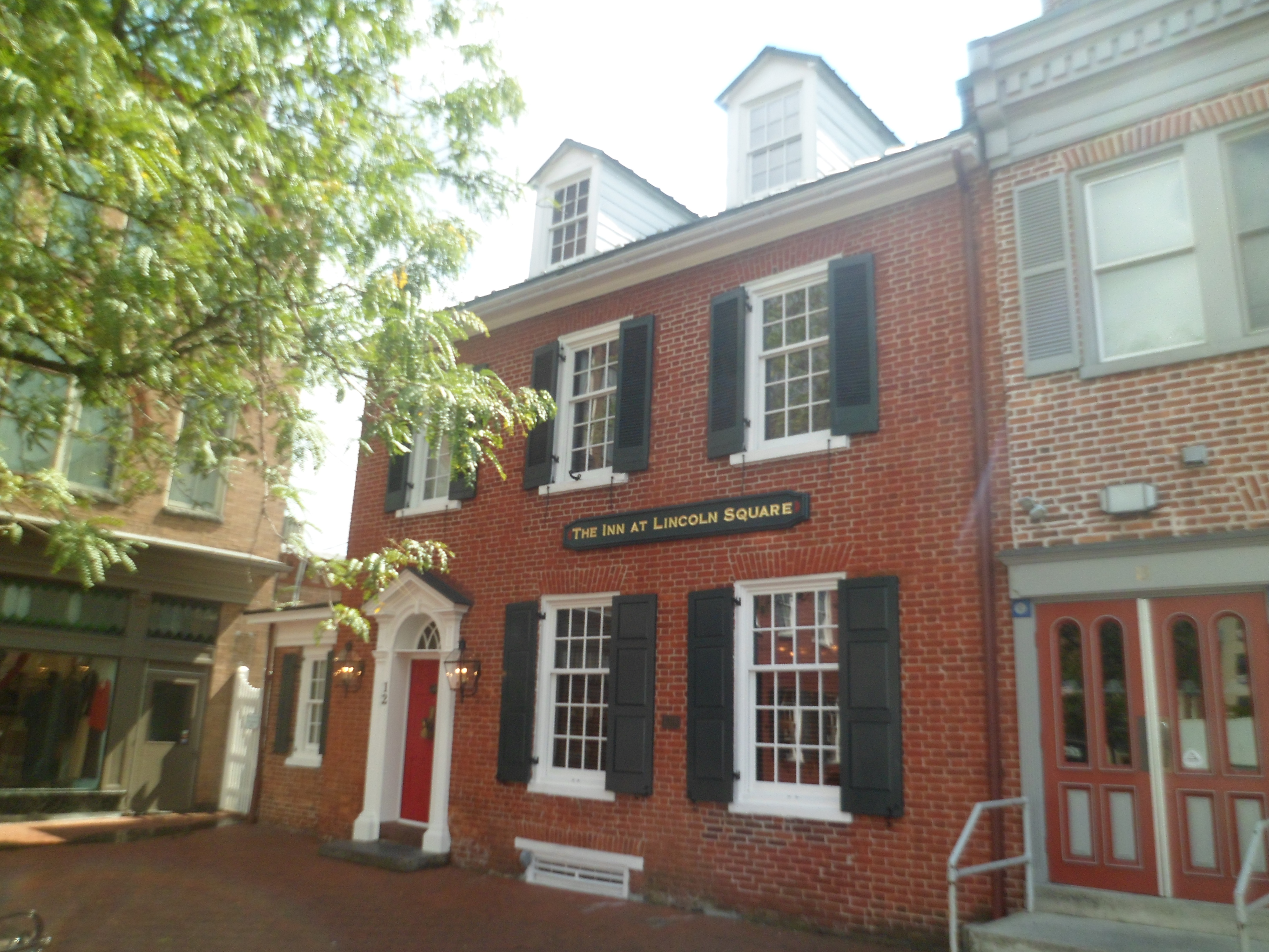
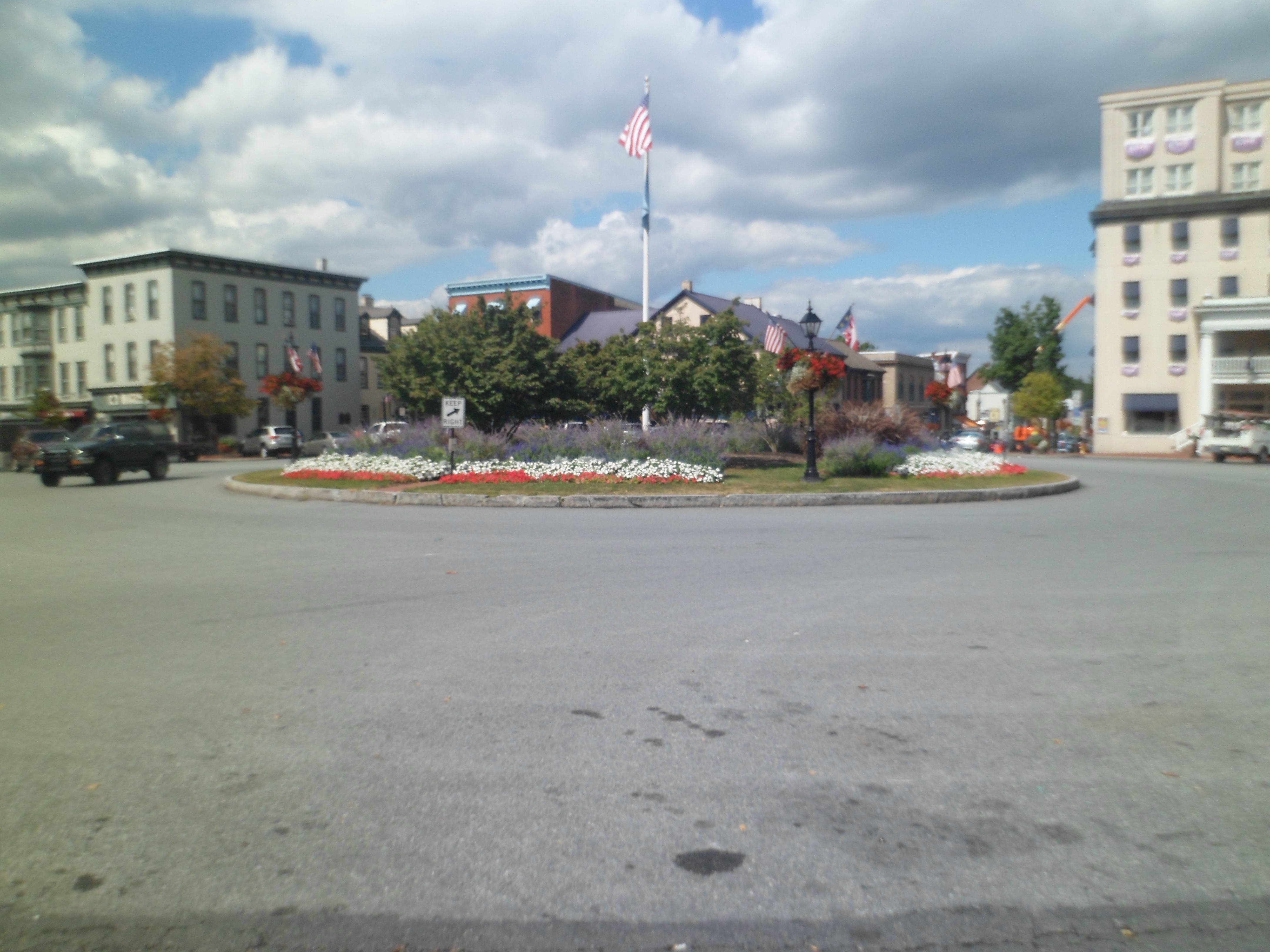
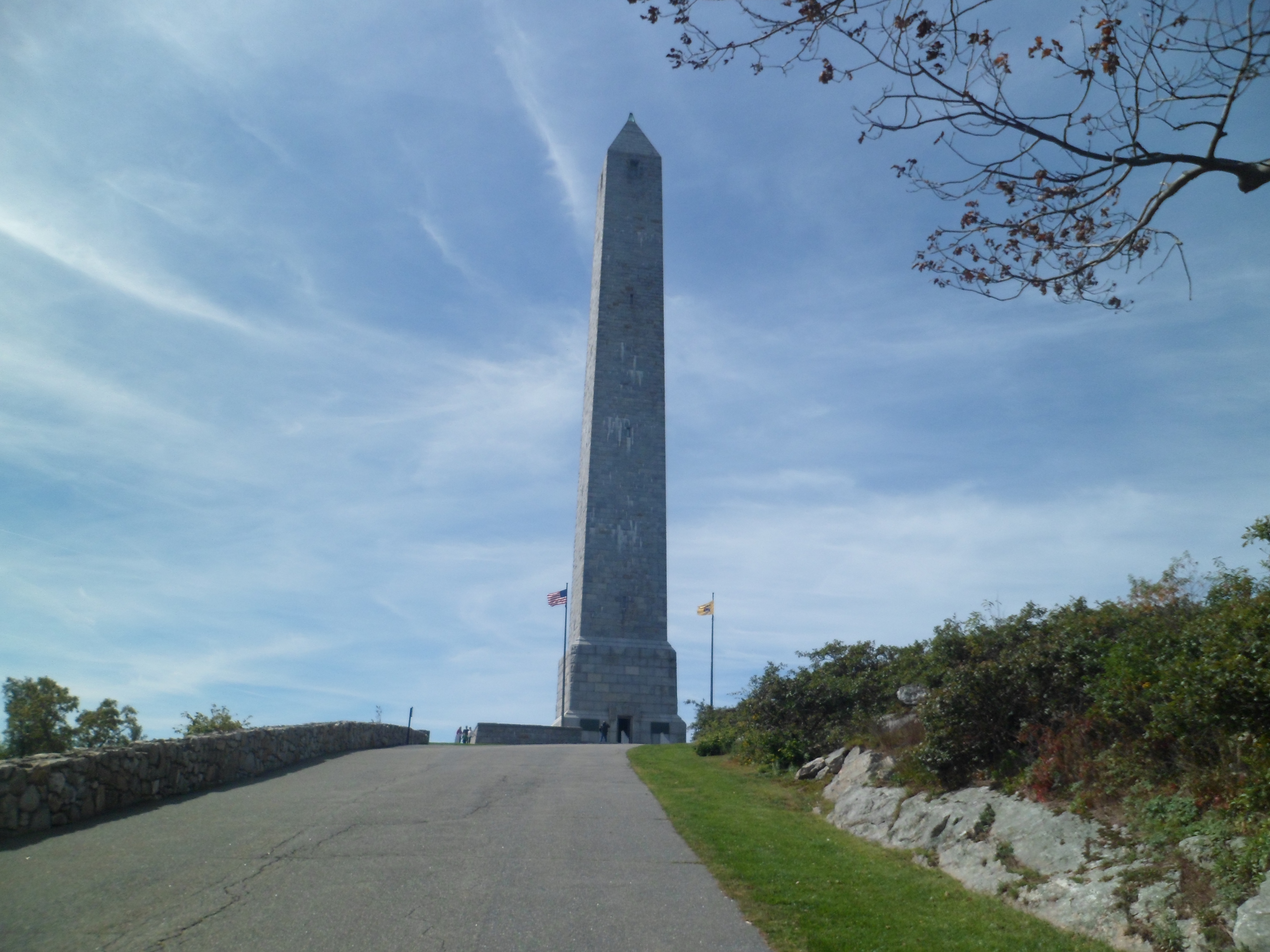
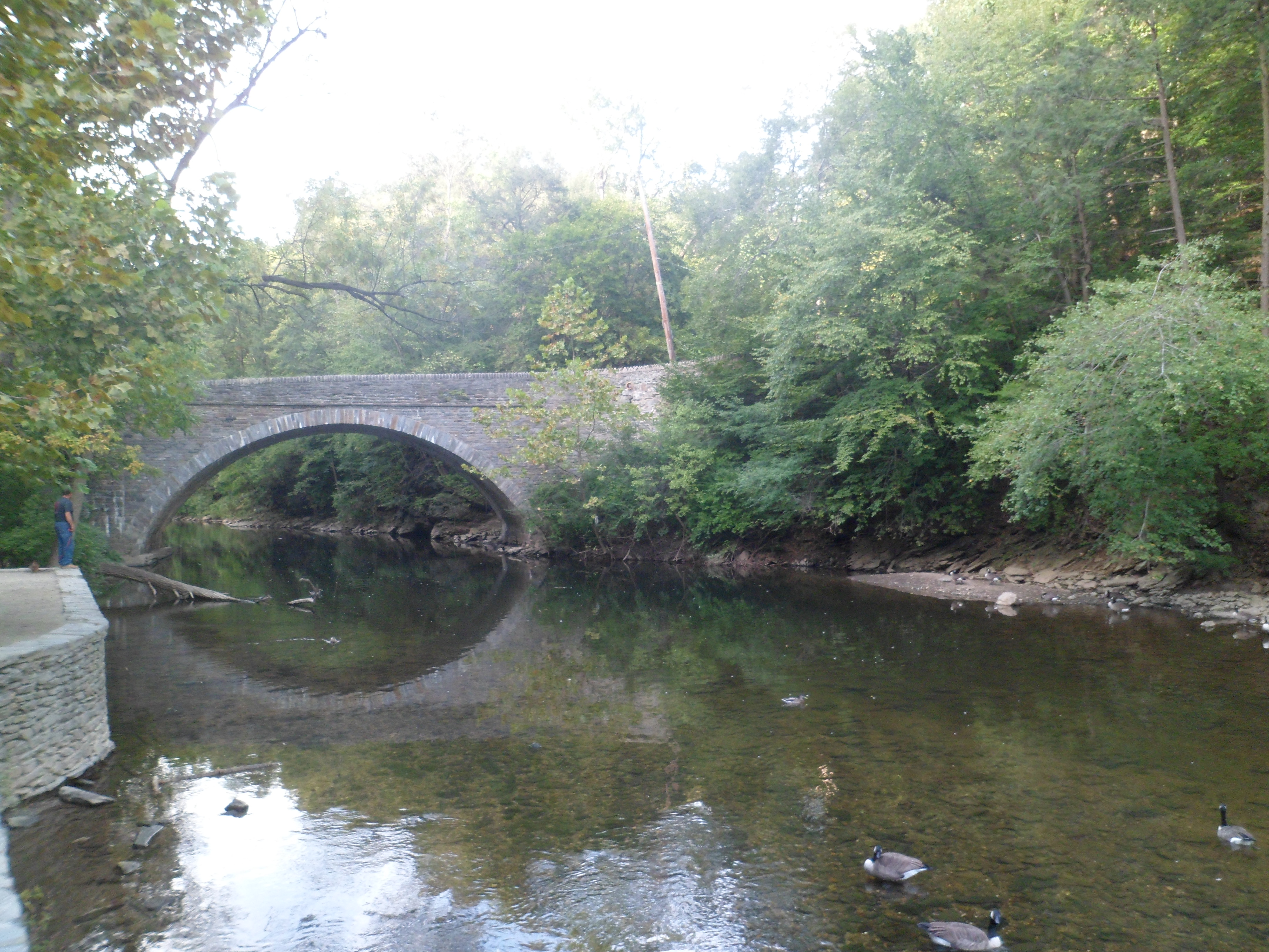
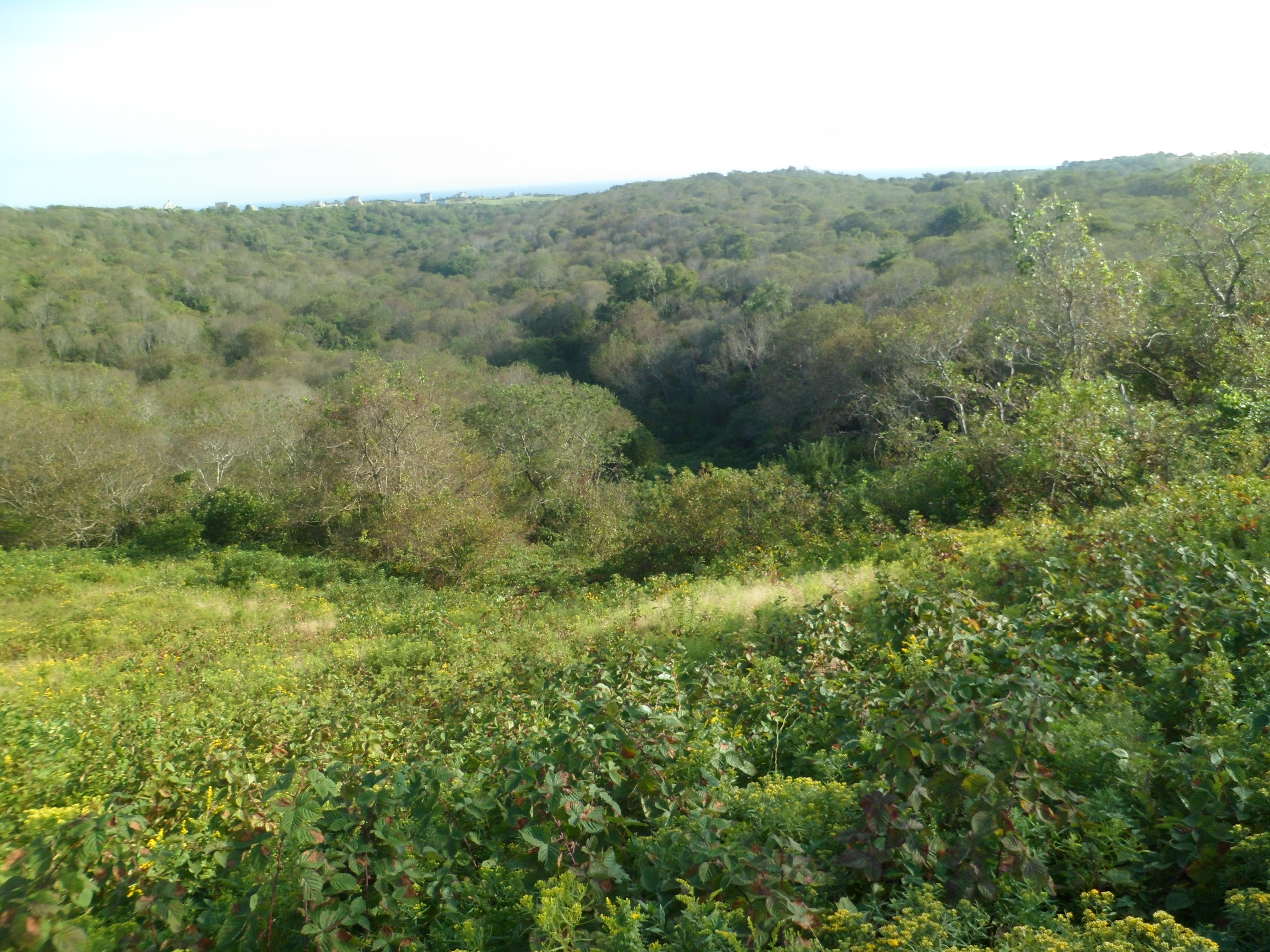
Central Pennsylvania is filled with natural beauty, and the approaches to he battlefield are filled with same.


The Visitor Center is huge, and always full.

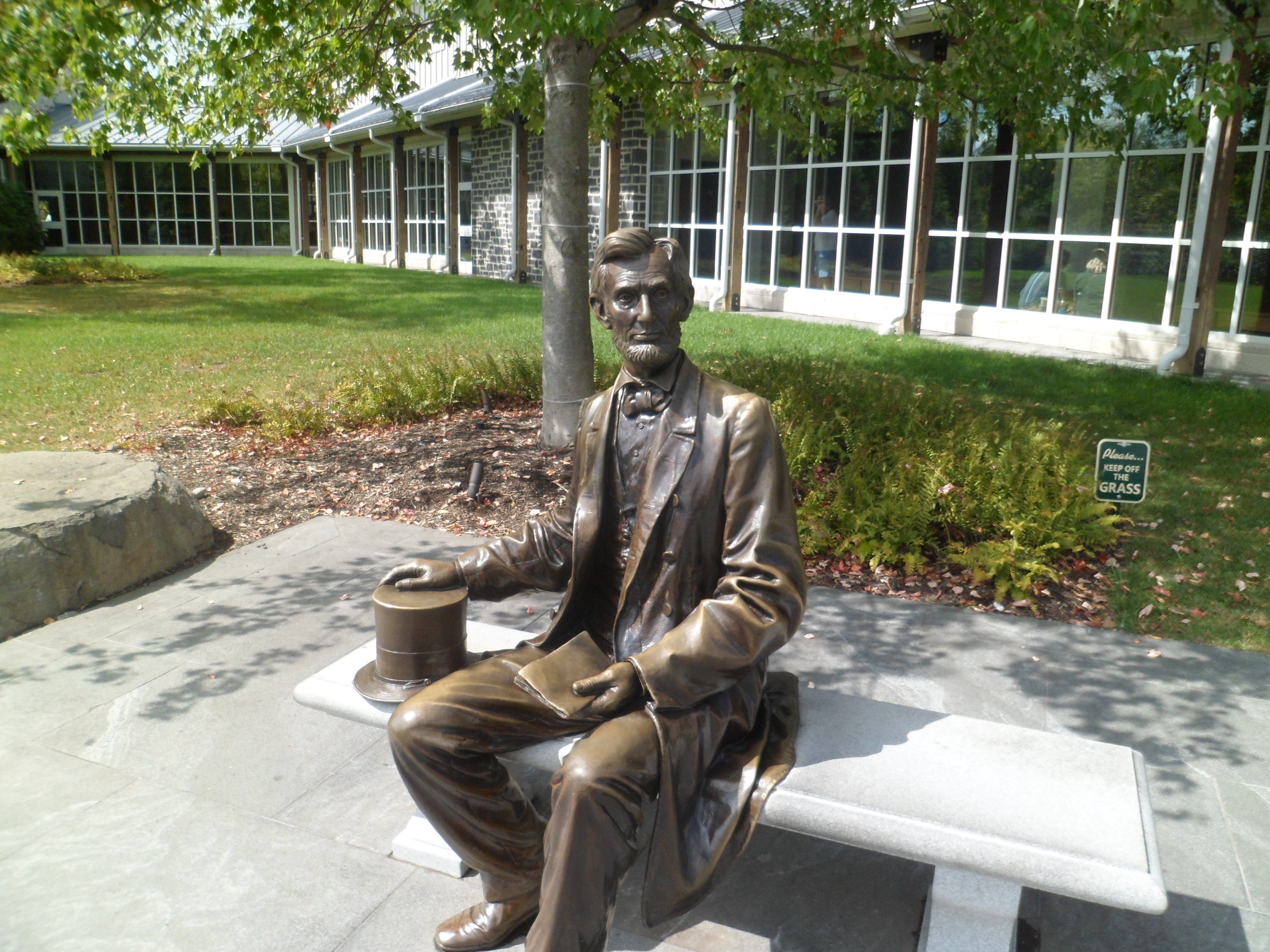
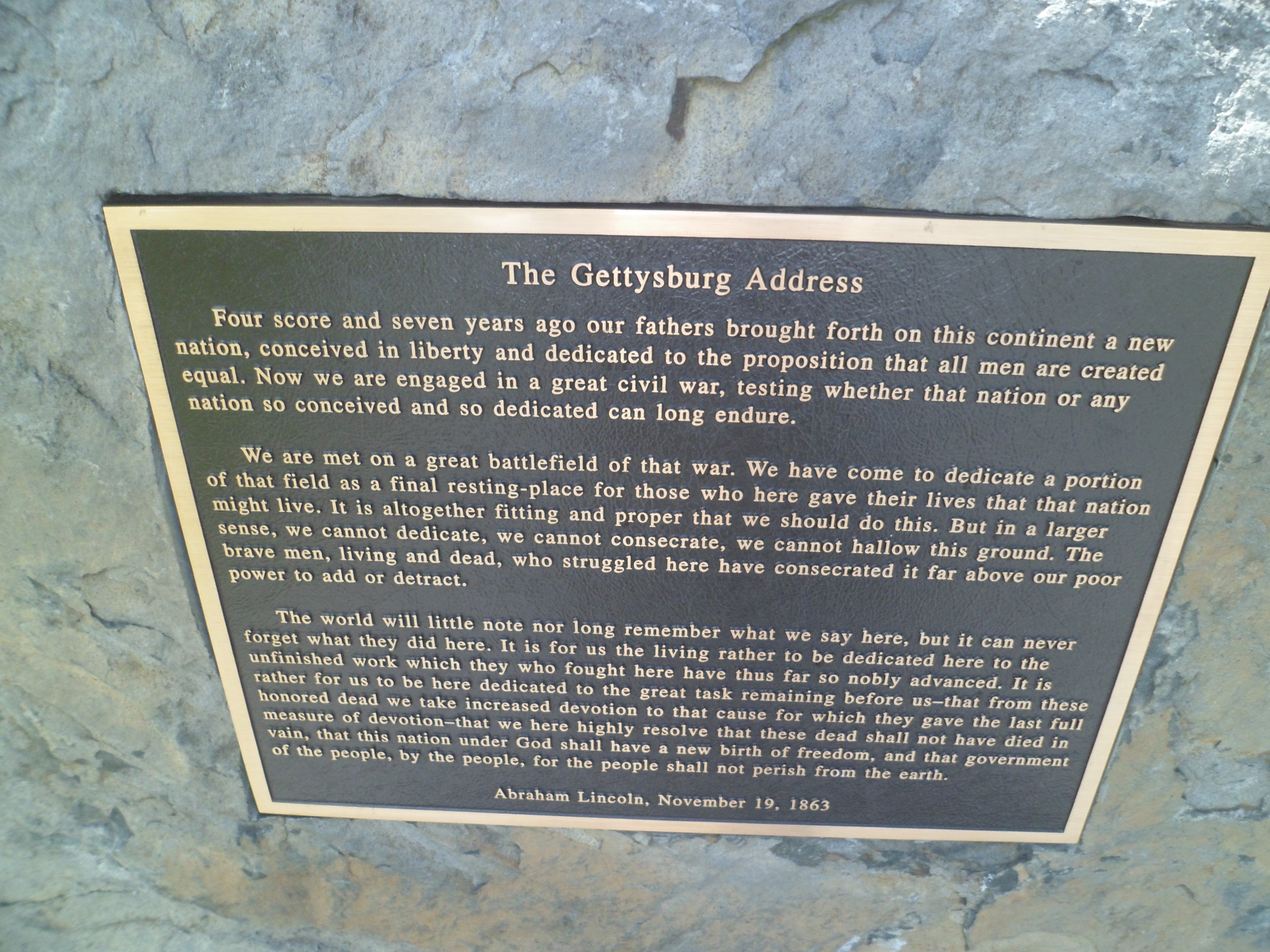
There is one figure, though, who remains unruffled by it all, having spoken his peace, so long ago.


Once in the cemetery and monument areas, the horror of the three-day battle is underscored by every grave, every monument and every southward view, towards the Mason-Dixon Line, a scant 12 miles away. It’s said, by frequent visitors, that ghosts congregate here, on a regular basis. I post the following photos, without individual comment. Please note that all are of Union soldiers and regiments.


This is a look back north, towards the Union commander’s headquarters.
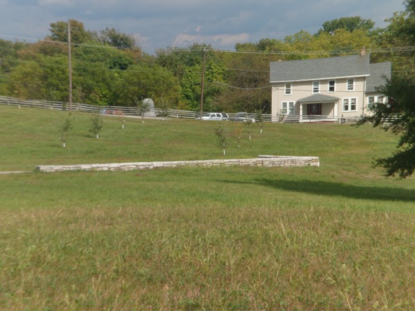


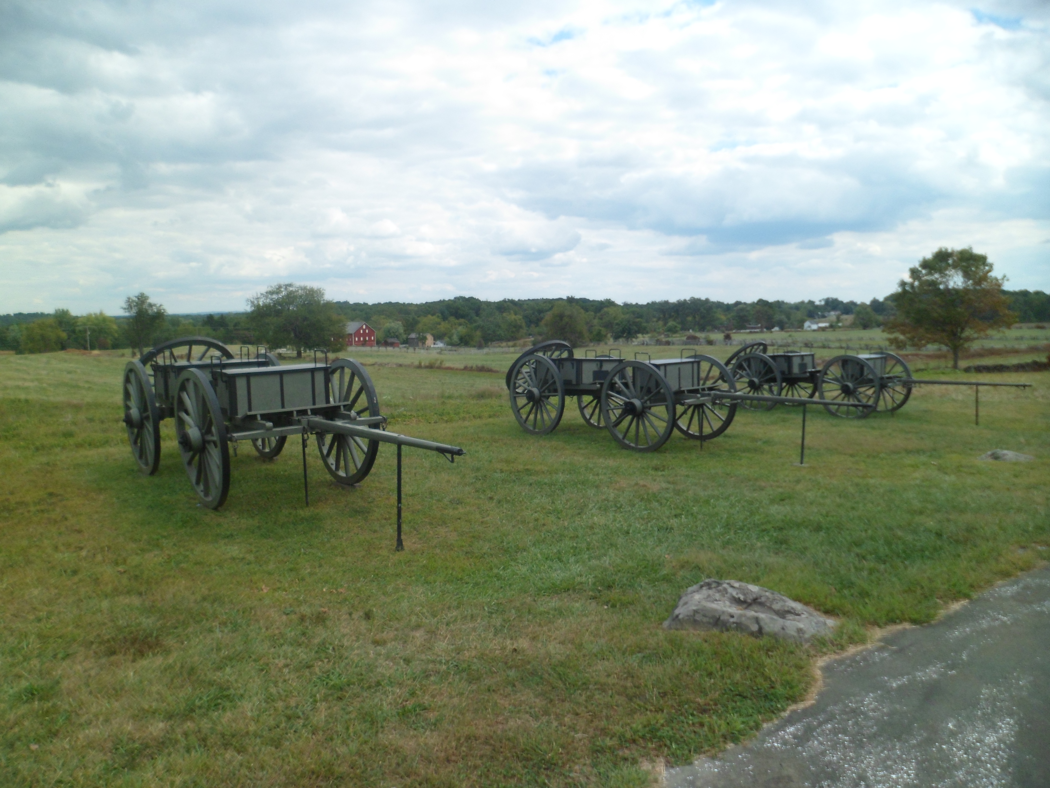
Below, is The Angle, from which the Union advance guard fired on Confederates, who were advancing in the fields below.


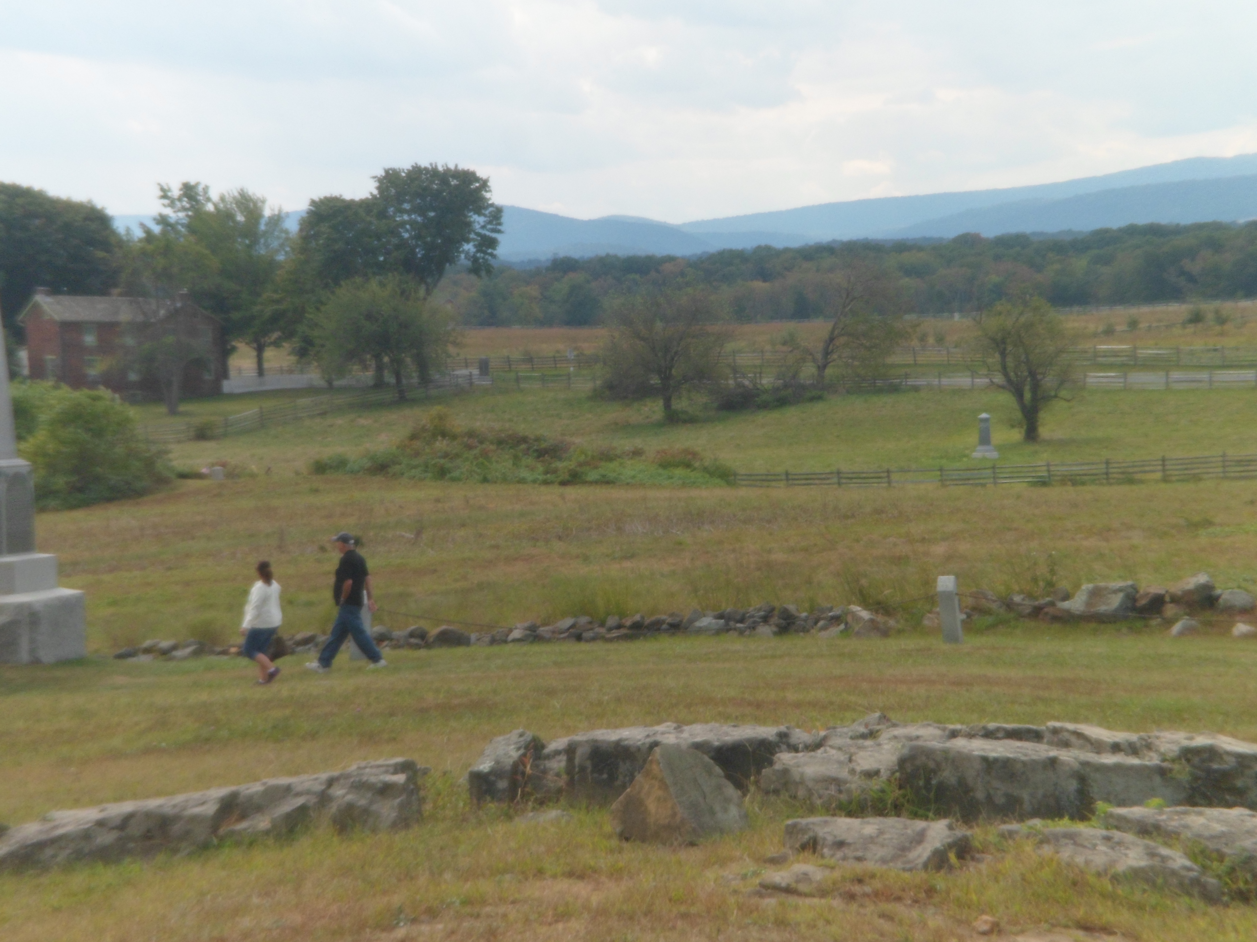
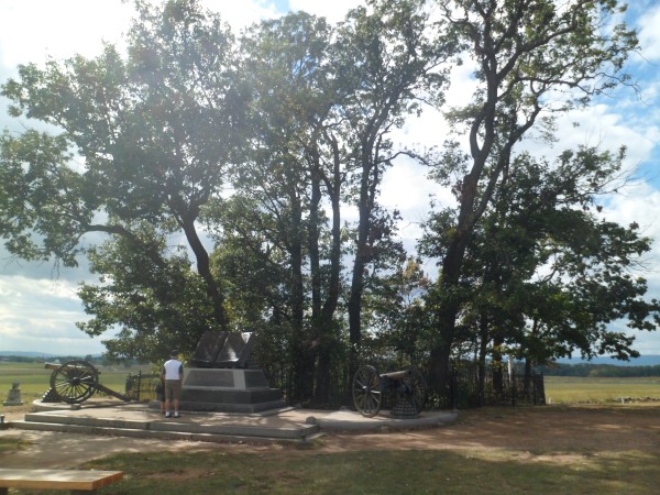
Here is another Union reconnaissance point. This stone wall was defended by Union troops, upon Confederate General Armistead’s troops having advanced to the Copse of Trees, passing just west of the grove, before Union troops engaged them and drove them back.

This obelisk honours the 89th Pennsylvania volunteers.
 \
\
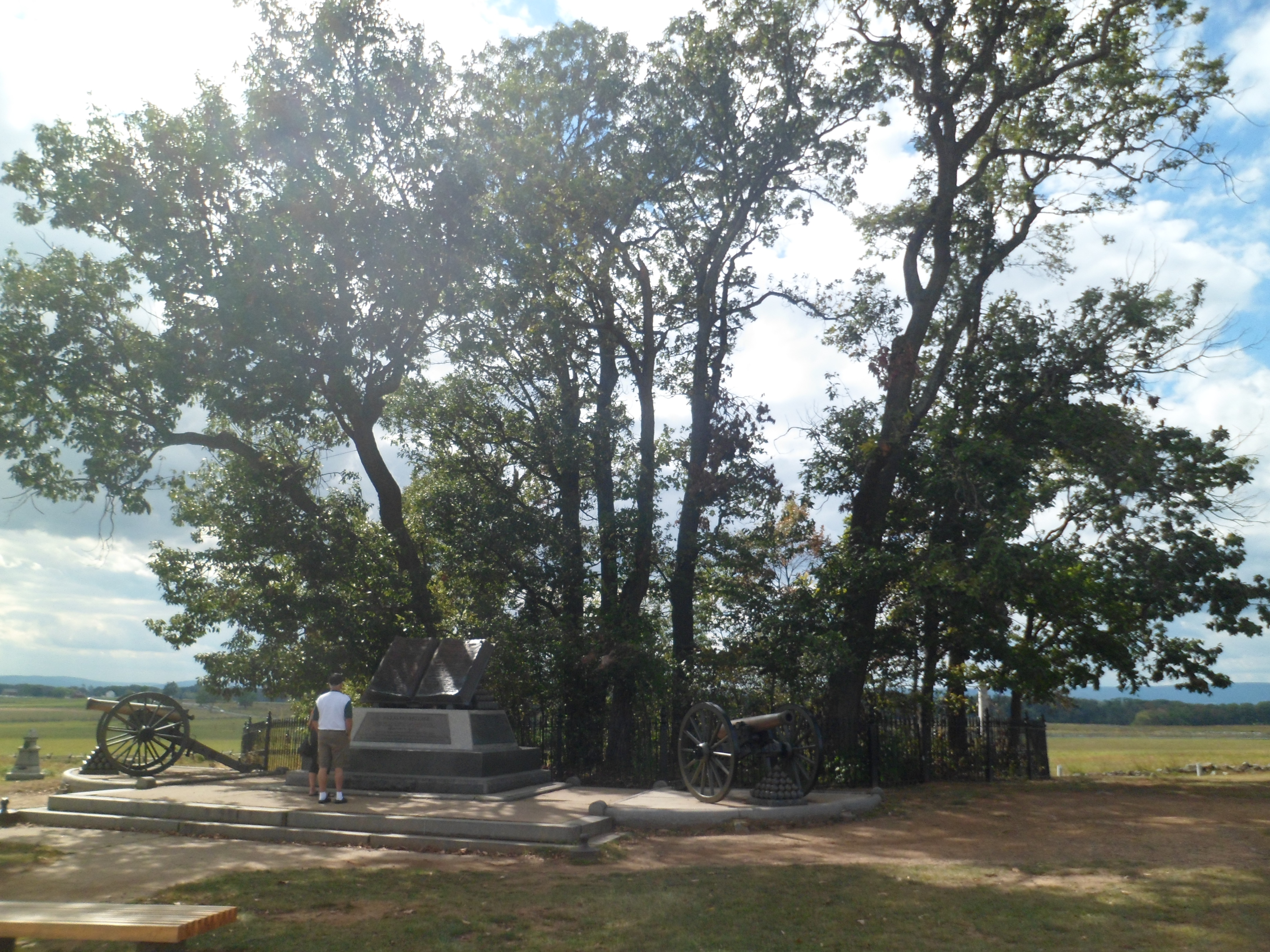
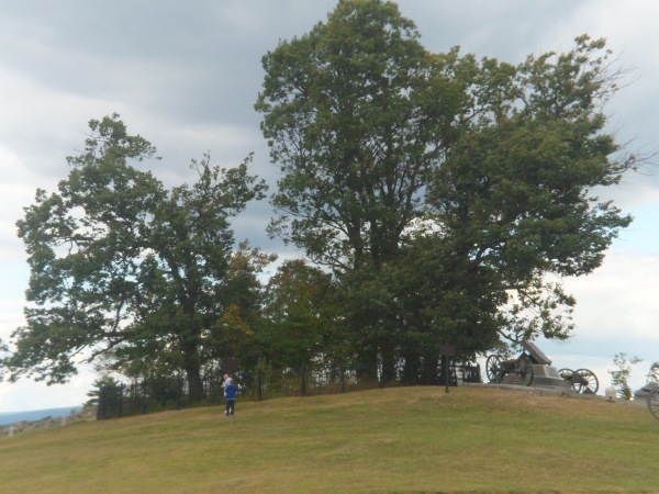
The Copse of Trees, below, represents the northernmost advance point by Confederate forces in the War Between The States. The monument in front of the Copse is called the High Water Mark.
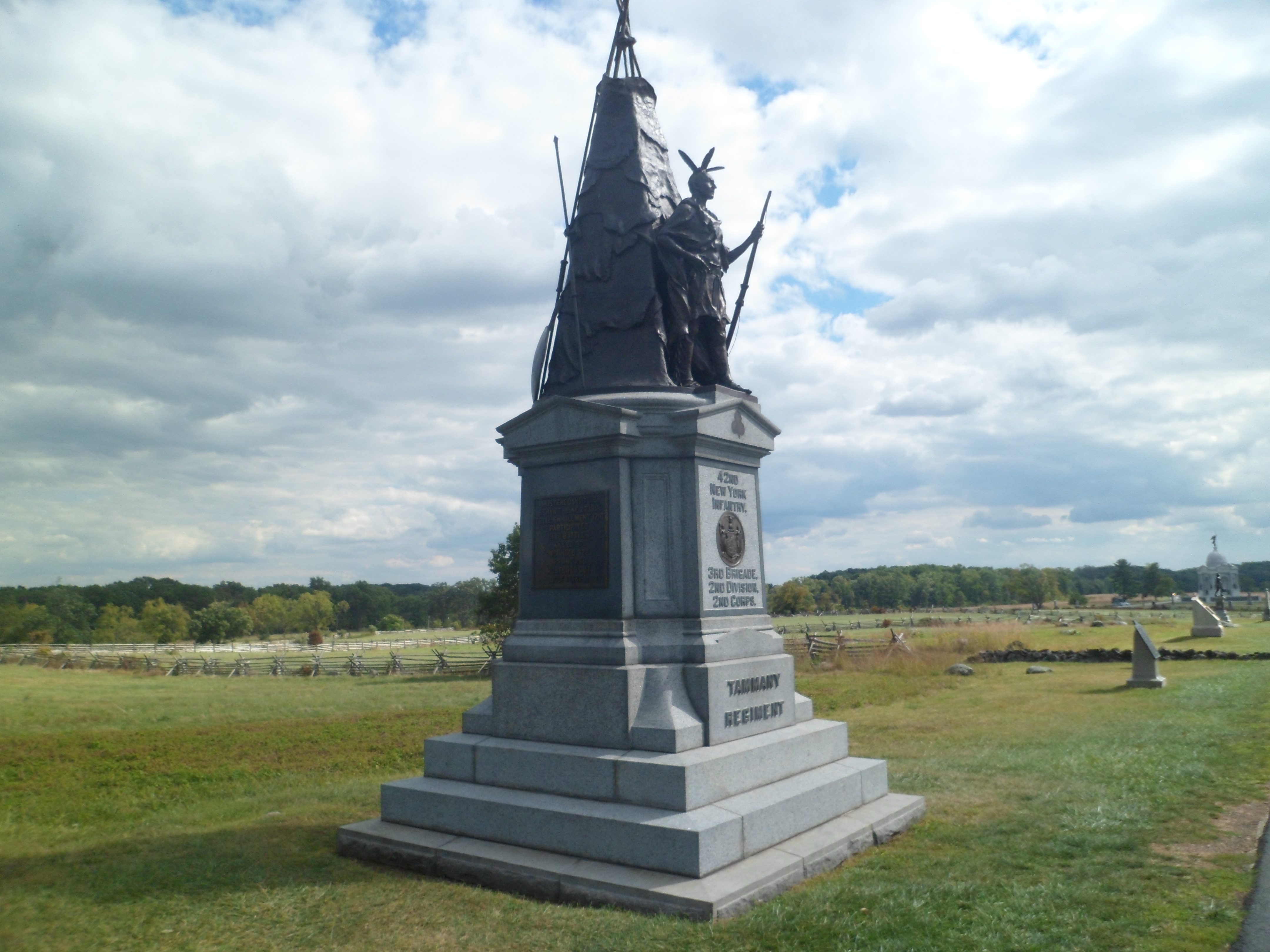
Native Americans fought for both sides in the conflict. This monument honours the Tammany Regiment, from New York City.

The monument below honours the Vermont Regiment, and is shown in two frames.


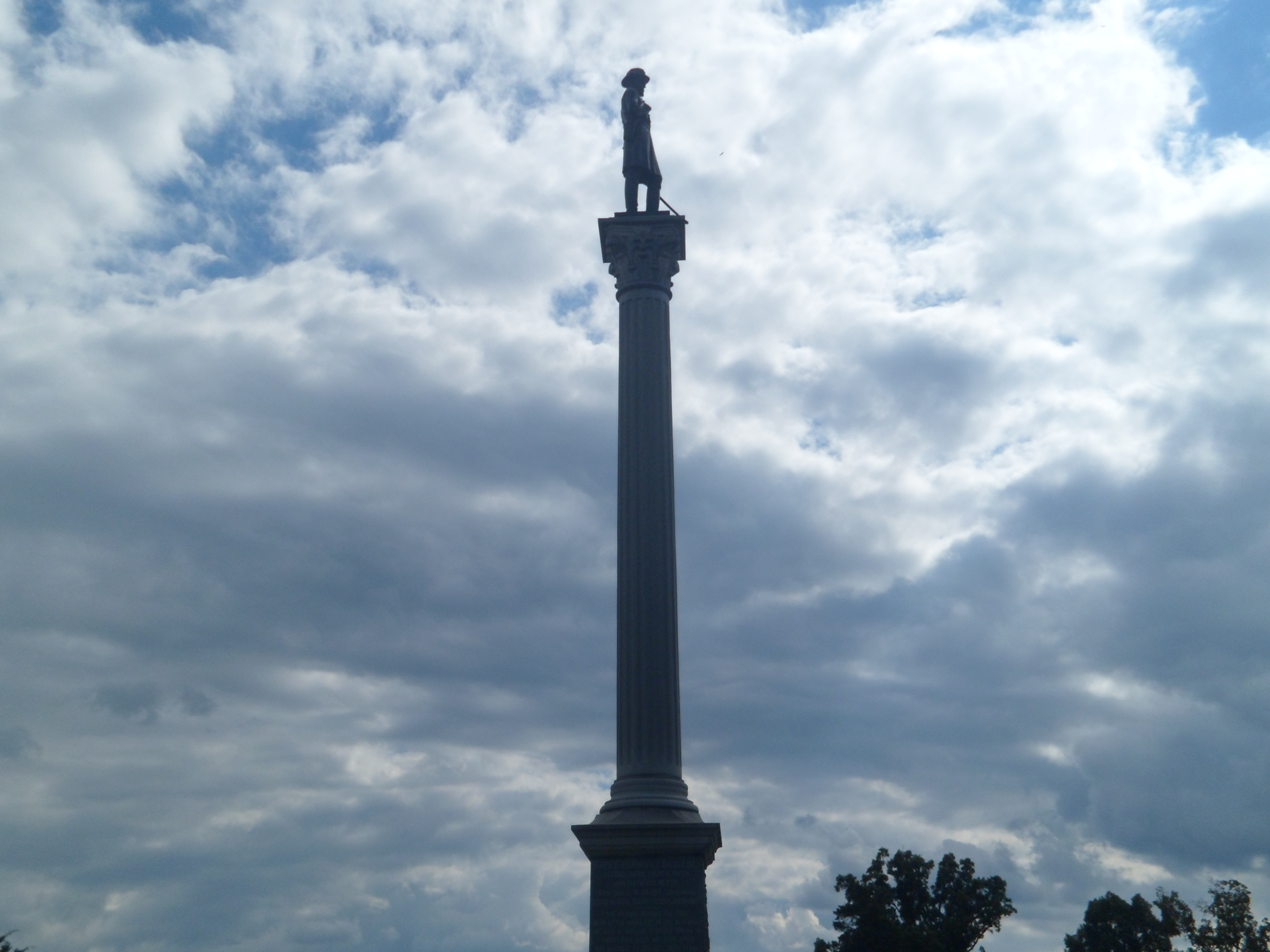
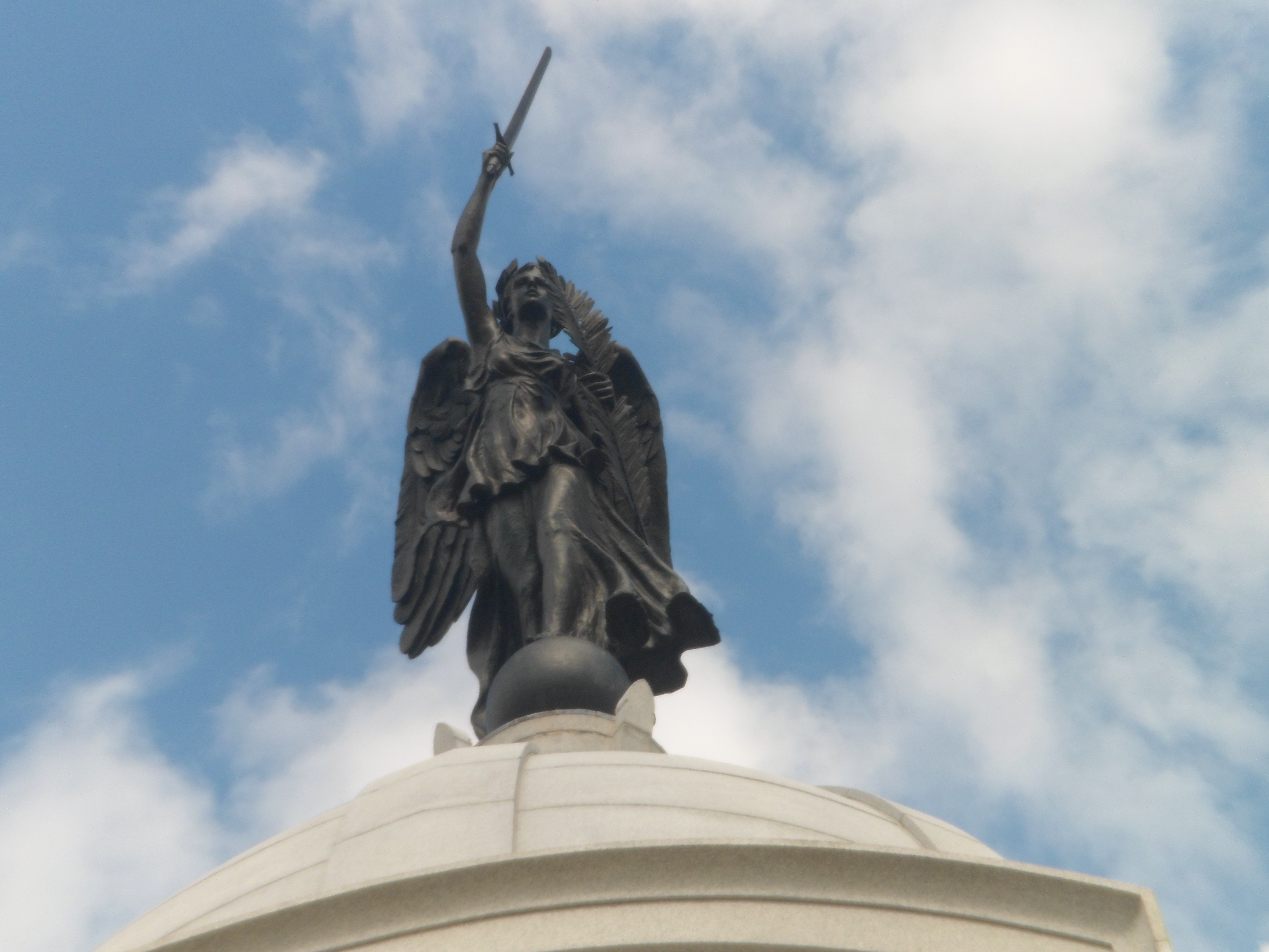
The following frames show the Pennsylvania State Monument, at the eastern edge of the park.


The next two views are from the top of the Pennsylvania State Monument.


I caught one final glimpse of the Copse of Trees. Were it not for this vantage point, the story of our nation may have turned out far differently.
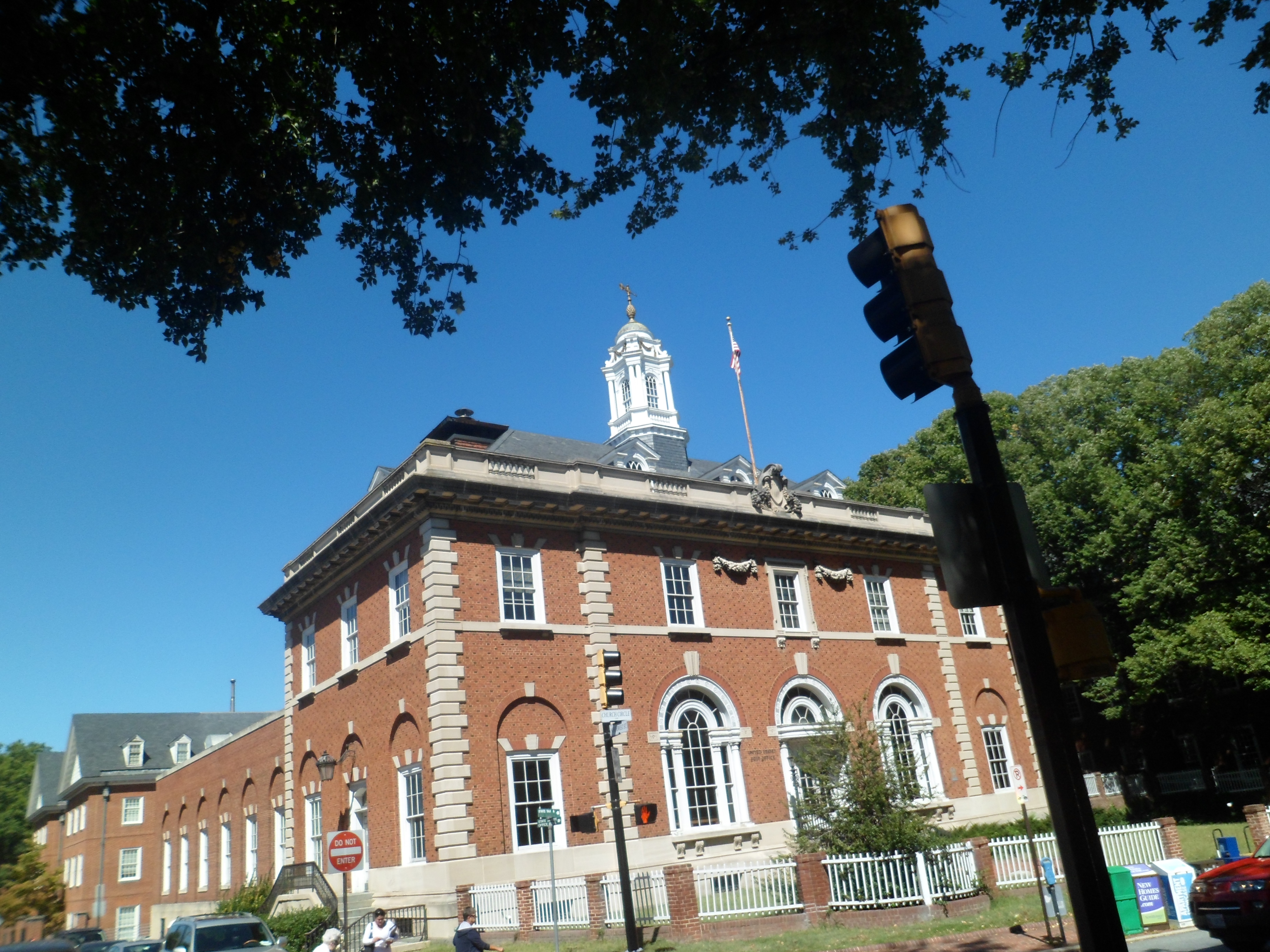
I was in a somber mood, the rest of the day. Driving through the Brandywine Valley, Chadds Ford, Wilmington and the University of Delaware at Newark, I was in no further mood for photography. At North East, MD, I learned what else had transpired that day- 12 innocent lives were snuffed out, at Anacostia Navy Yard, a place I visited twice, as a soldier, in 1970.
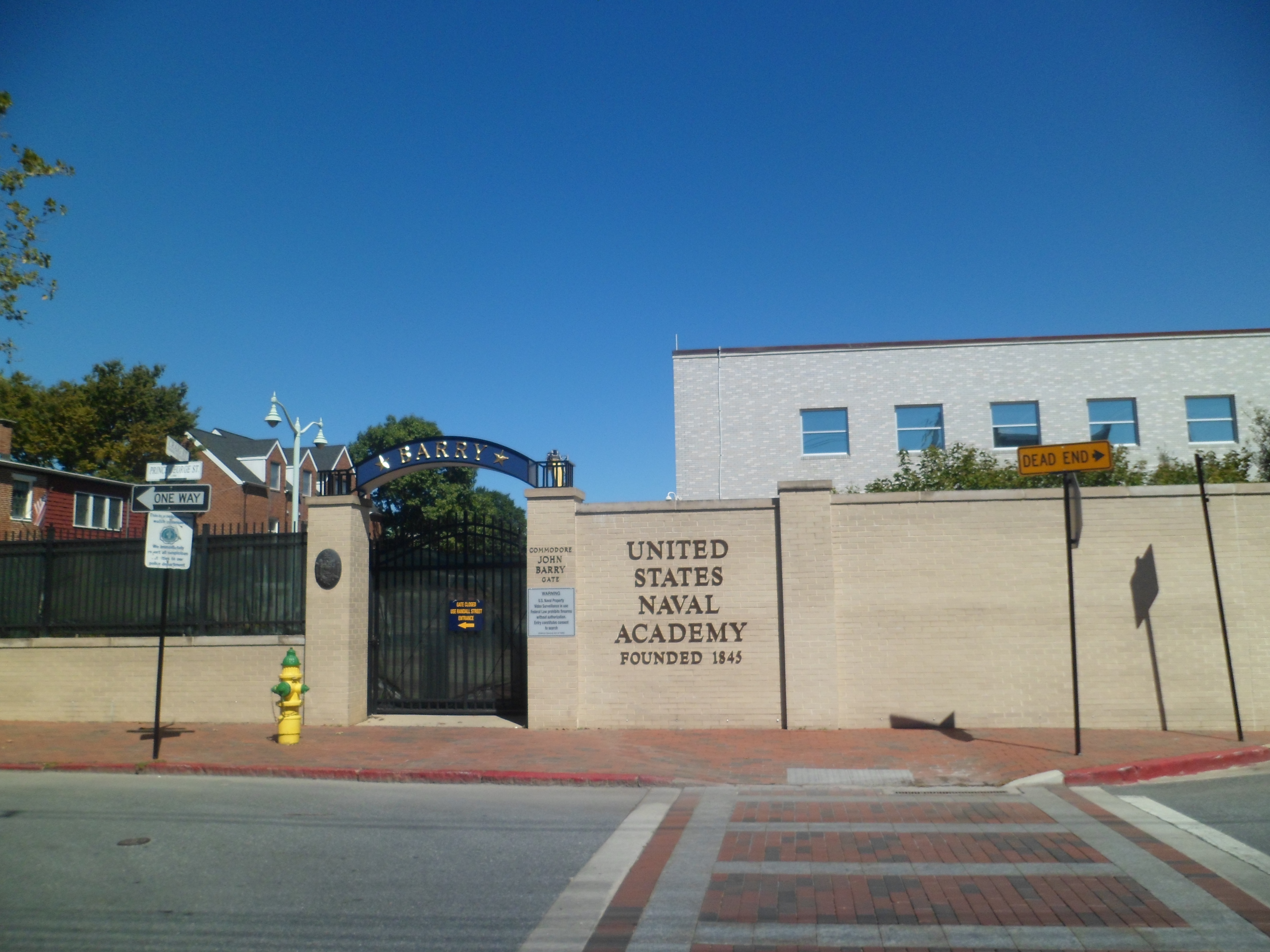
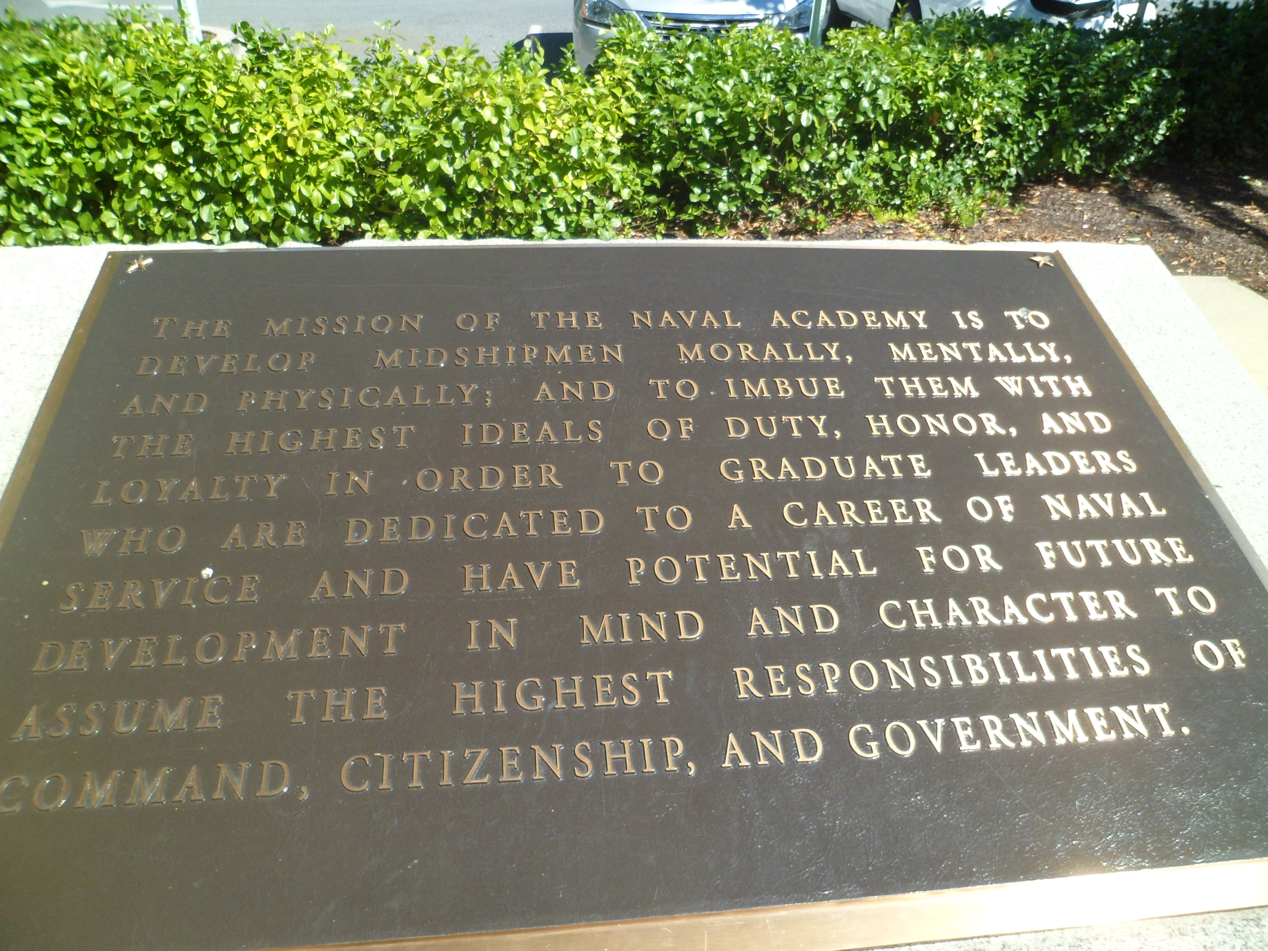
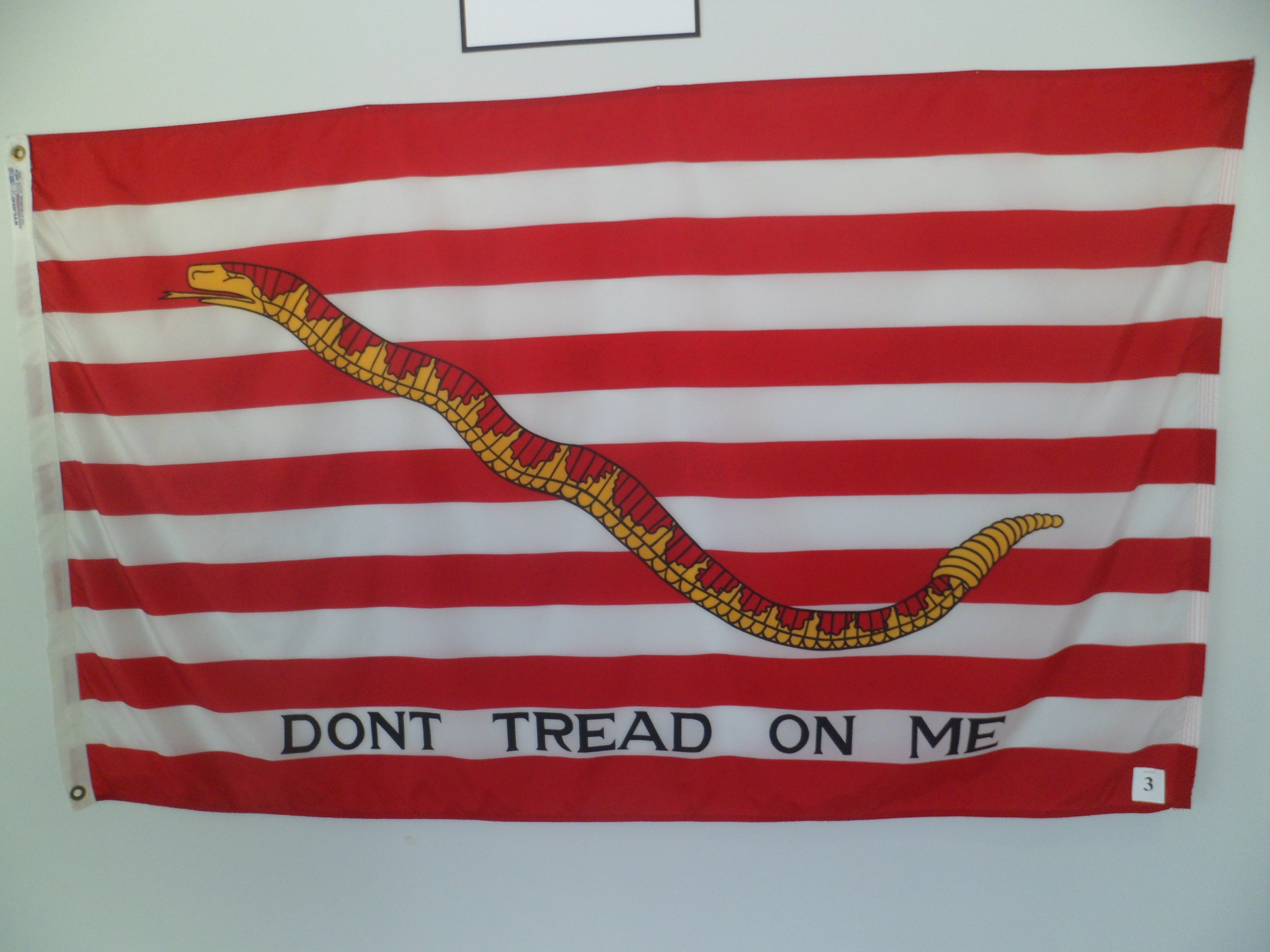
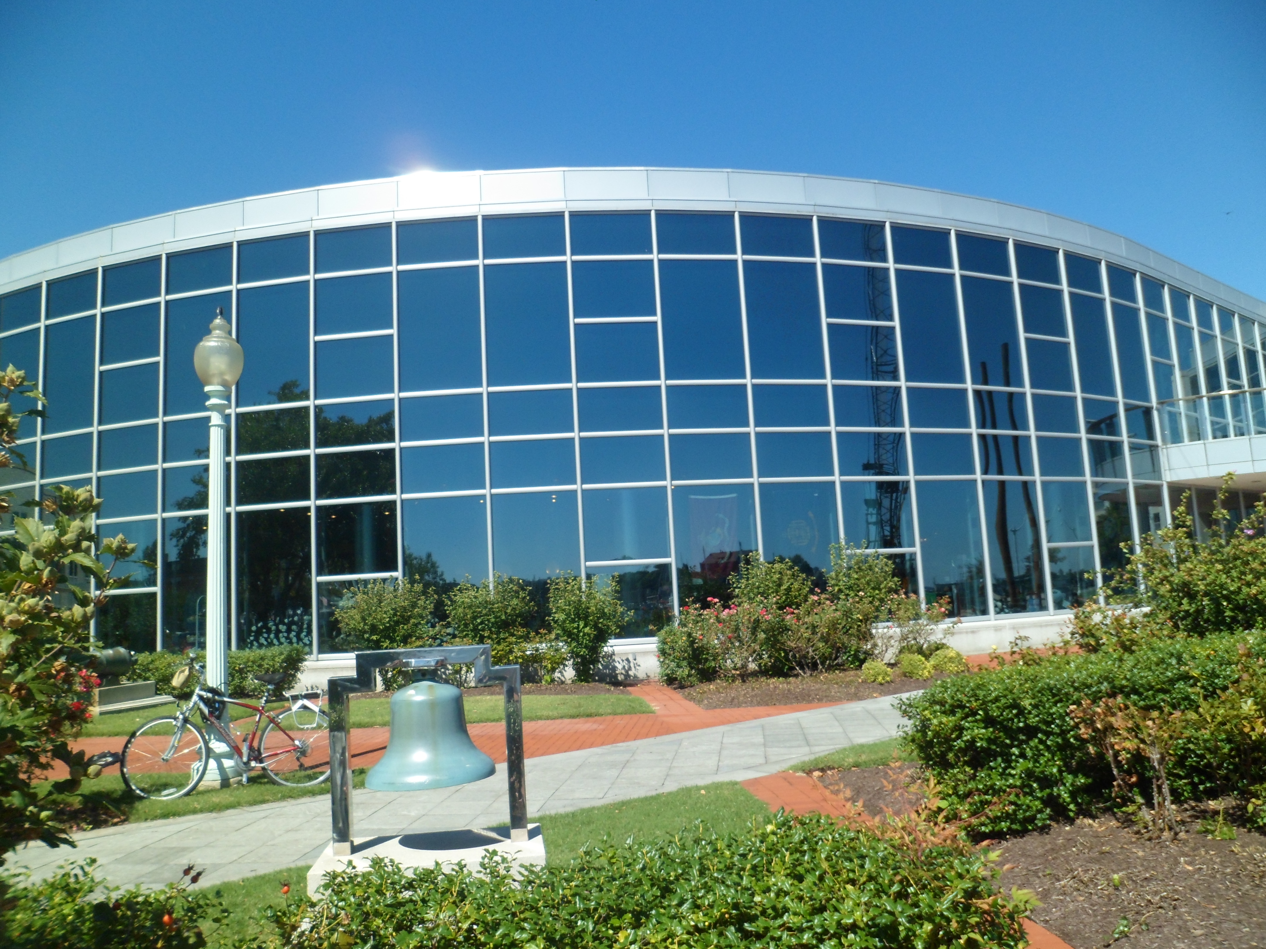
My planned visit the following day, to the United States Naval Academy, took on a graver mien.