From Home to Home, and Back, Day 18: The Trees of Brooklyn, The Towers of Liberty

6

I made two very distinct stops, during my first visit to New York City in nearly 20 years:  The headquarters of Slow Food USA, in Brooklyn and the emerging Liberty Towers in lower Manhattan, on September 9.

Slow Food USA is an outgrowth of a movement which began in Italy, several years ago, as a reaction to the proliferation of fast food restaurants in Rome and the cities of the north.  Today, many countries have Slow Food movements, promoting the gathering of people around a carefully-cooked meal, preferably one with fresh ingredients.

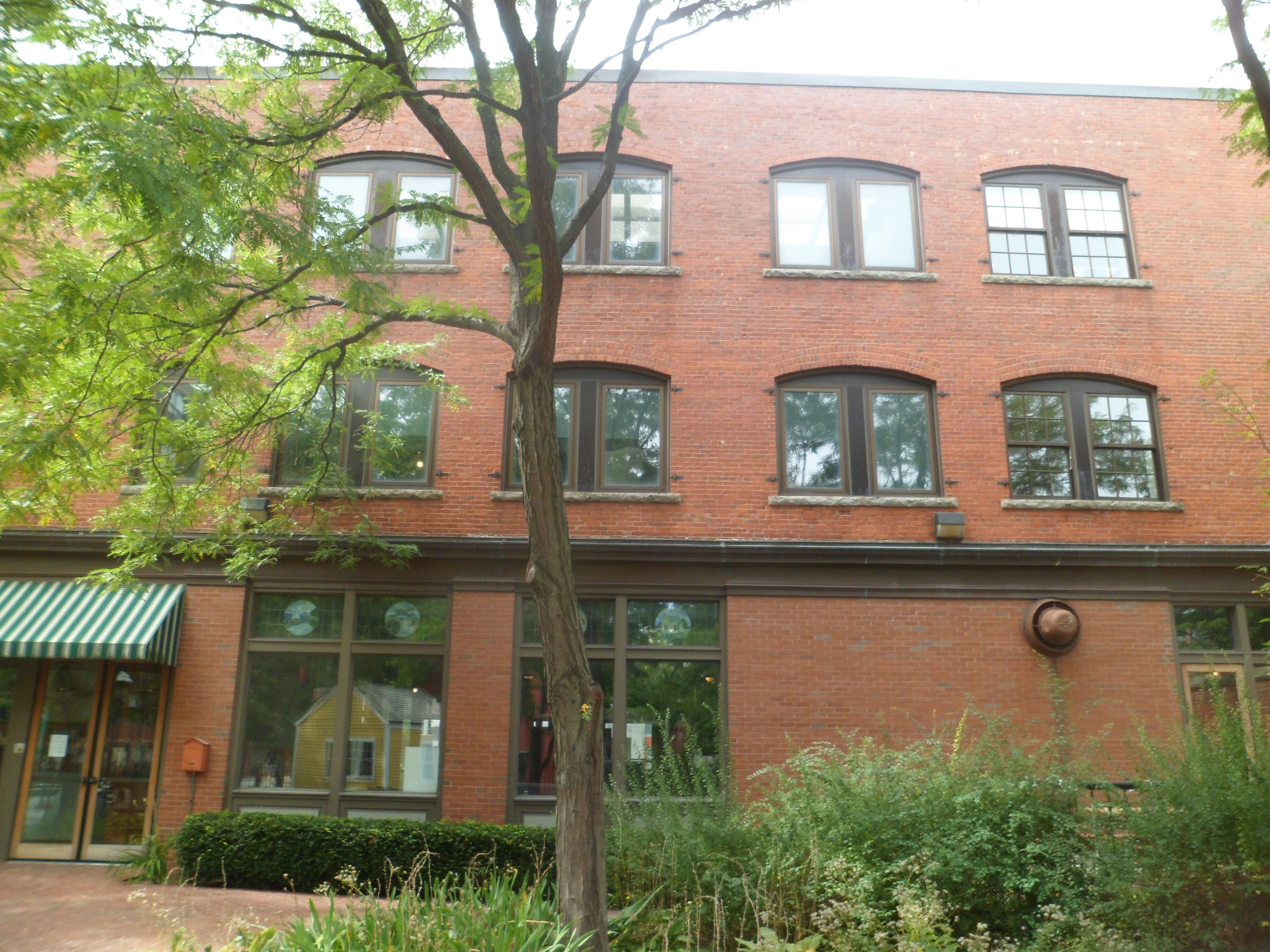
I joined the HQ team, arriving at the tail end of their lunch break, as the younger members began to move back towards their desks.  The following photos show the area of Brooklyn near the Headquarters, and the office itself.

SAM_6838
SAM_6840

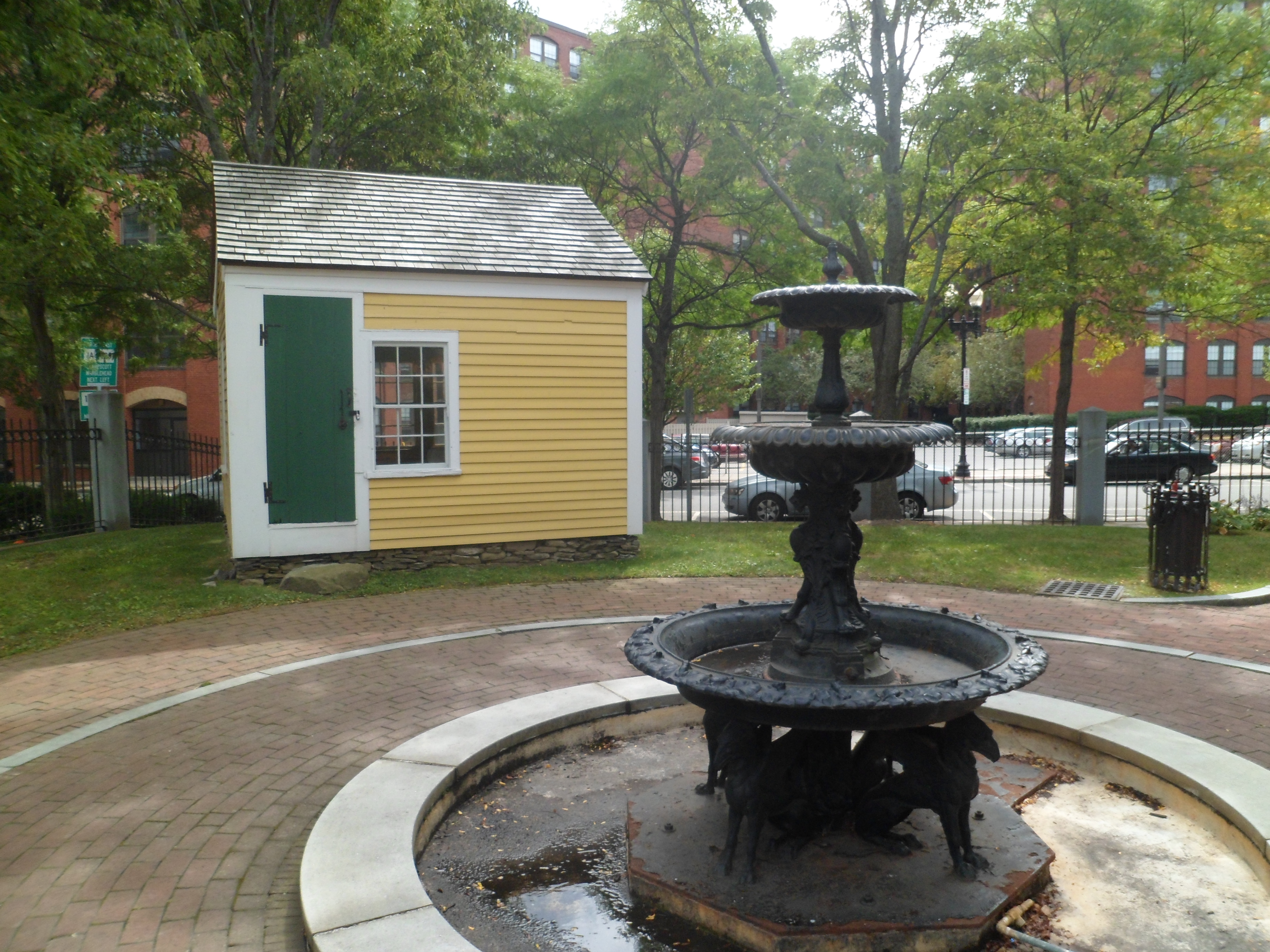
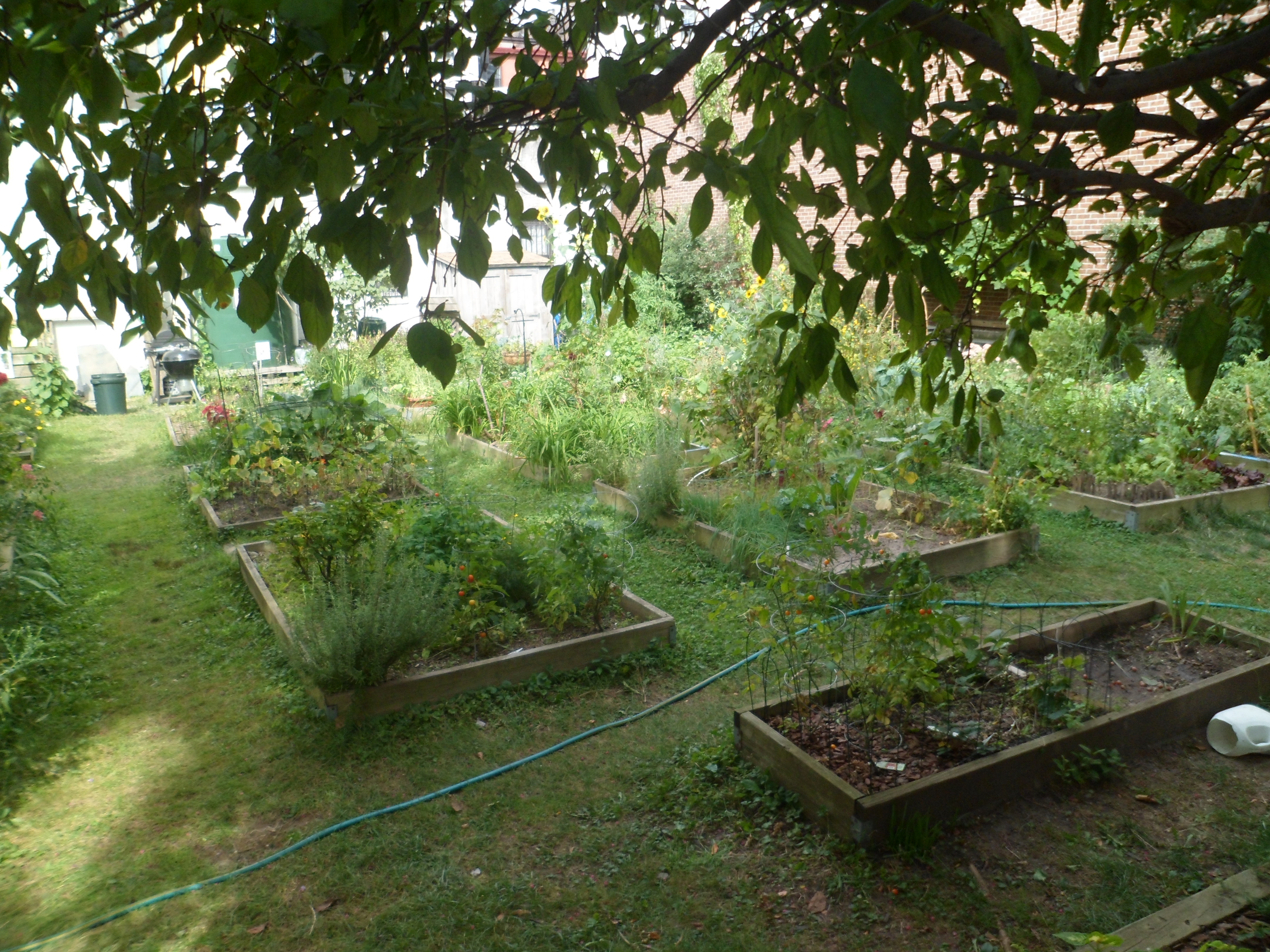
Once back outside, I took a few moments, while walking along Brooklyn’s busy streets, to admire a community garden, across the street from Slow Food, and a few tall buildings, en route to the subway.

SAM_6841
SAM_6842

Below are some views of Santa Maria SS Addolorata Catholic Church, in a still heavily Italian neighbourhood.

SAM_6843
SAM_6844
SAM_6845

A few other spires caught my eye, from a distance, just outside Mocha Bagel Shop, near the Carroll Street subway.

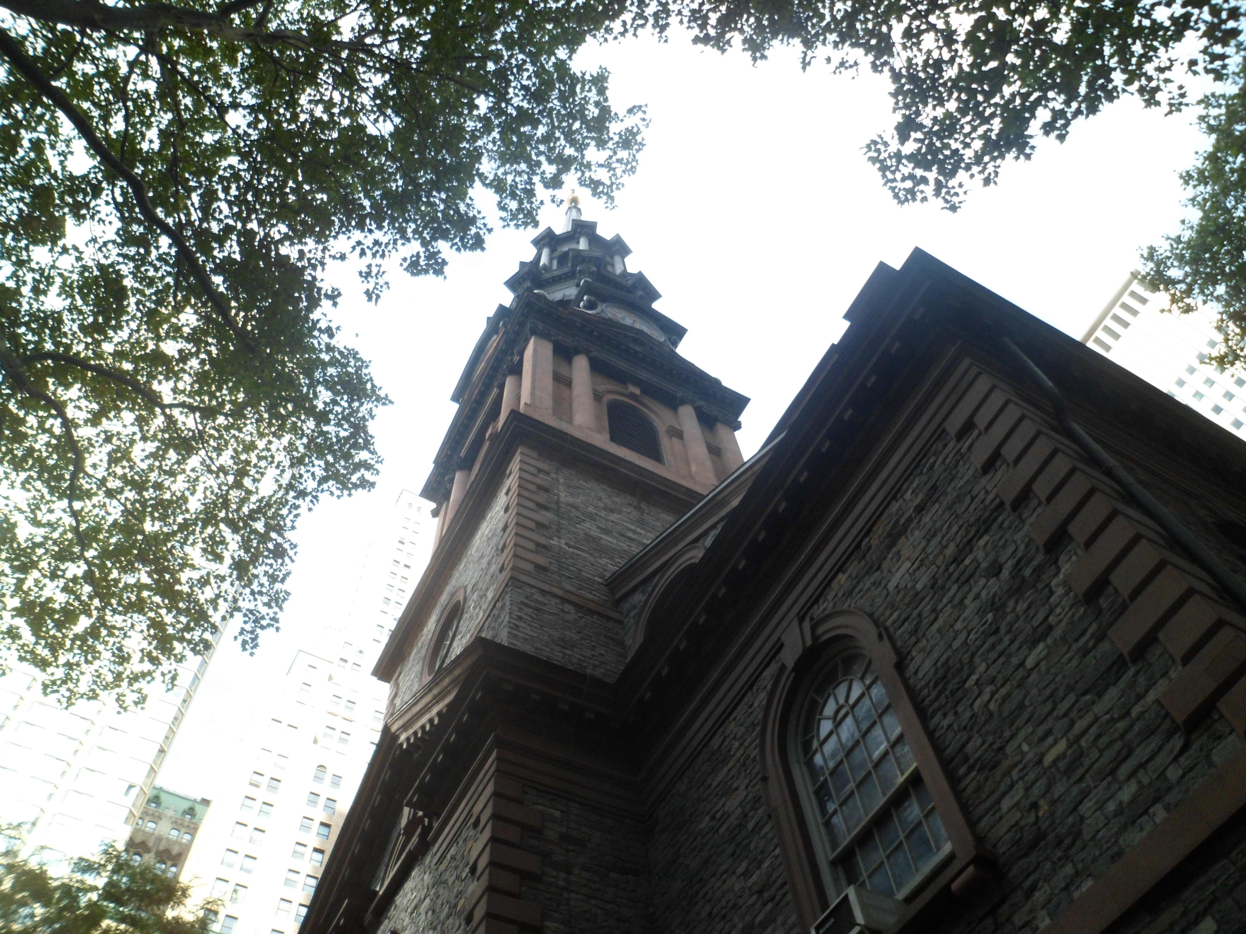
SAM_6846
SAM_6847

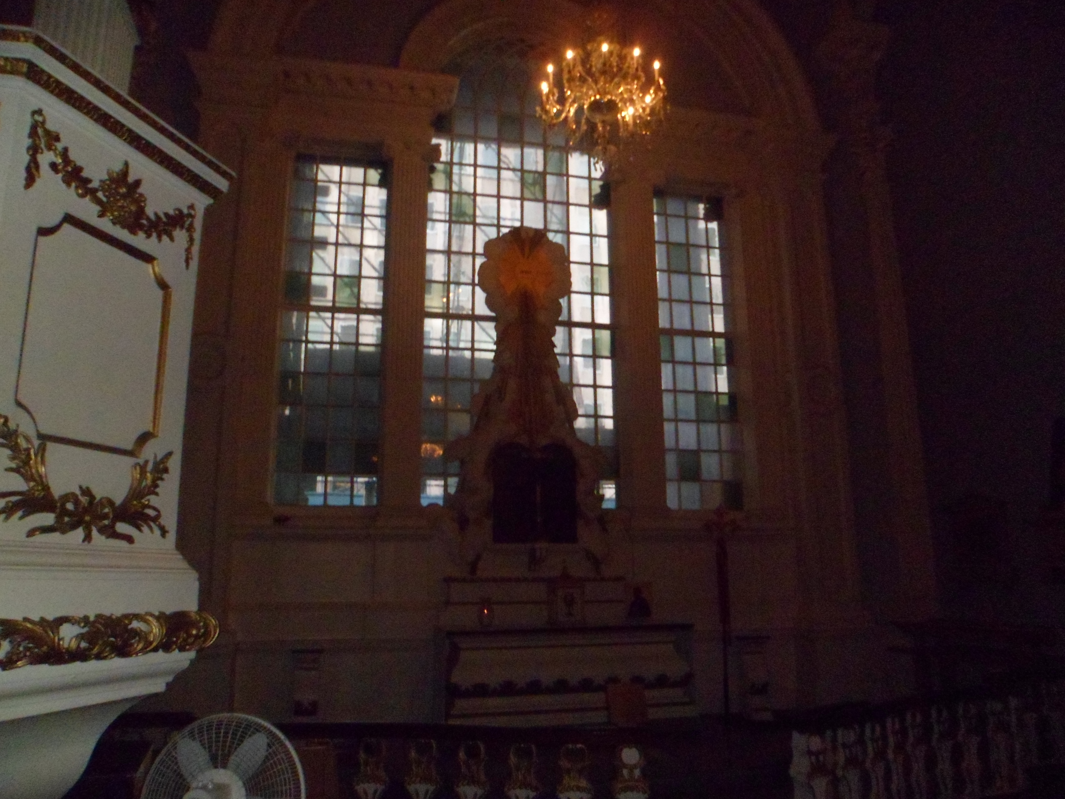
Upon arriving in the area of Ground Zero, I sought solace in St. Paul Chapel.
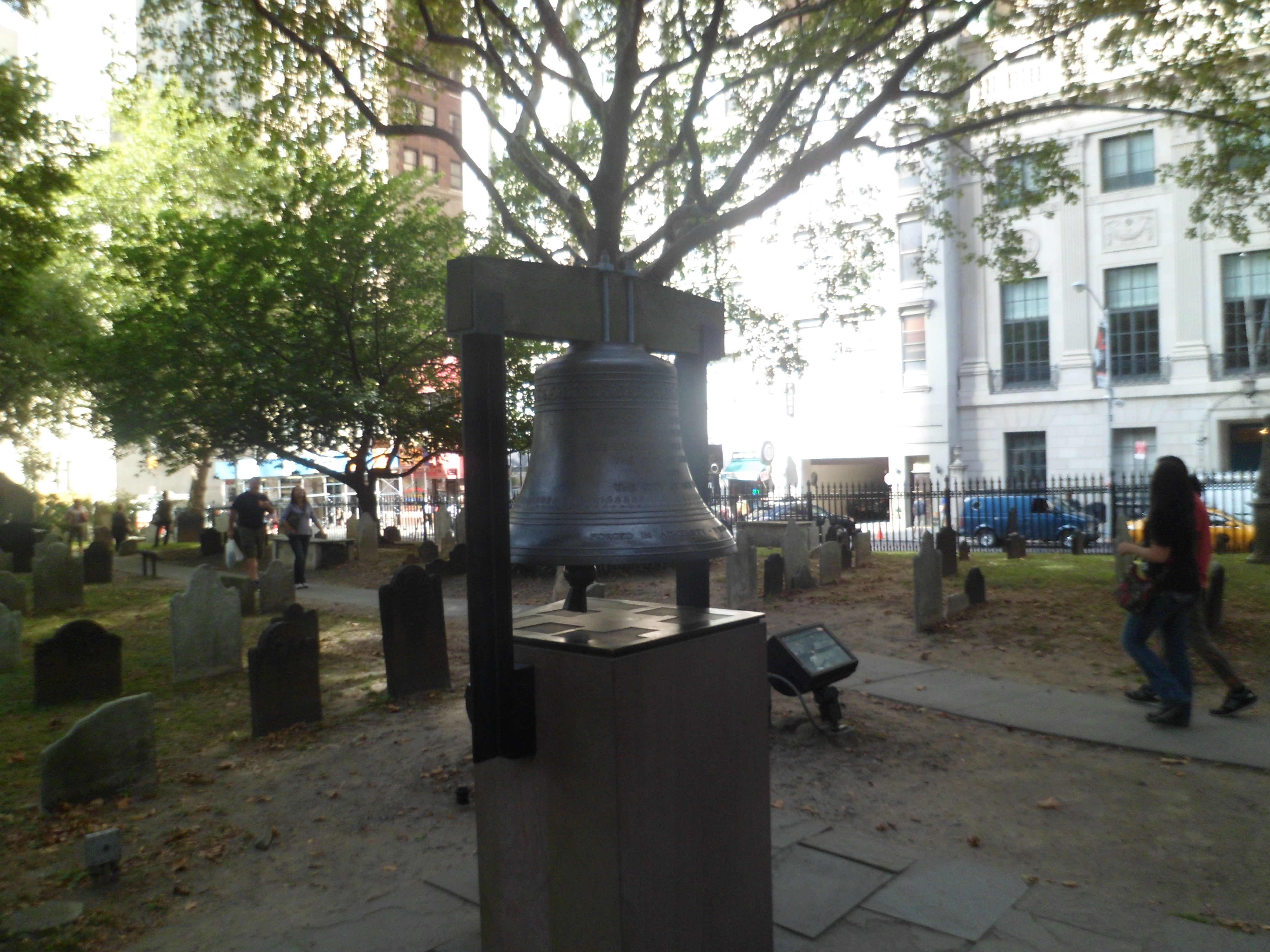
SAM_6849
SAM_6850
SAM_6851

Memorabilia of the horrible day are on display in the Chapel.

SAM_6852
SAM_6854

I found looking at the site, a good deal less daunting than I had anticipated.  It is still jarring- a work in progress, where once, there had been majesty and strength.  Now, at least, there is resilience.
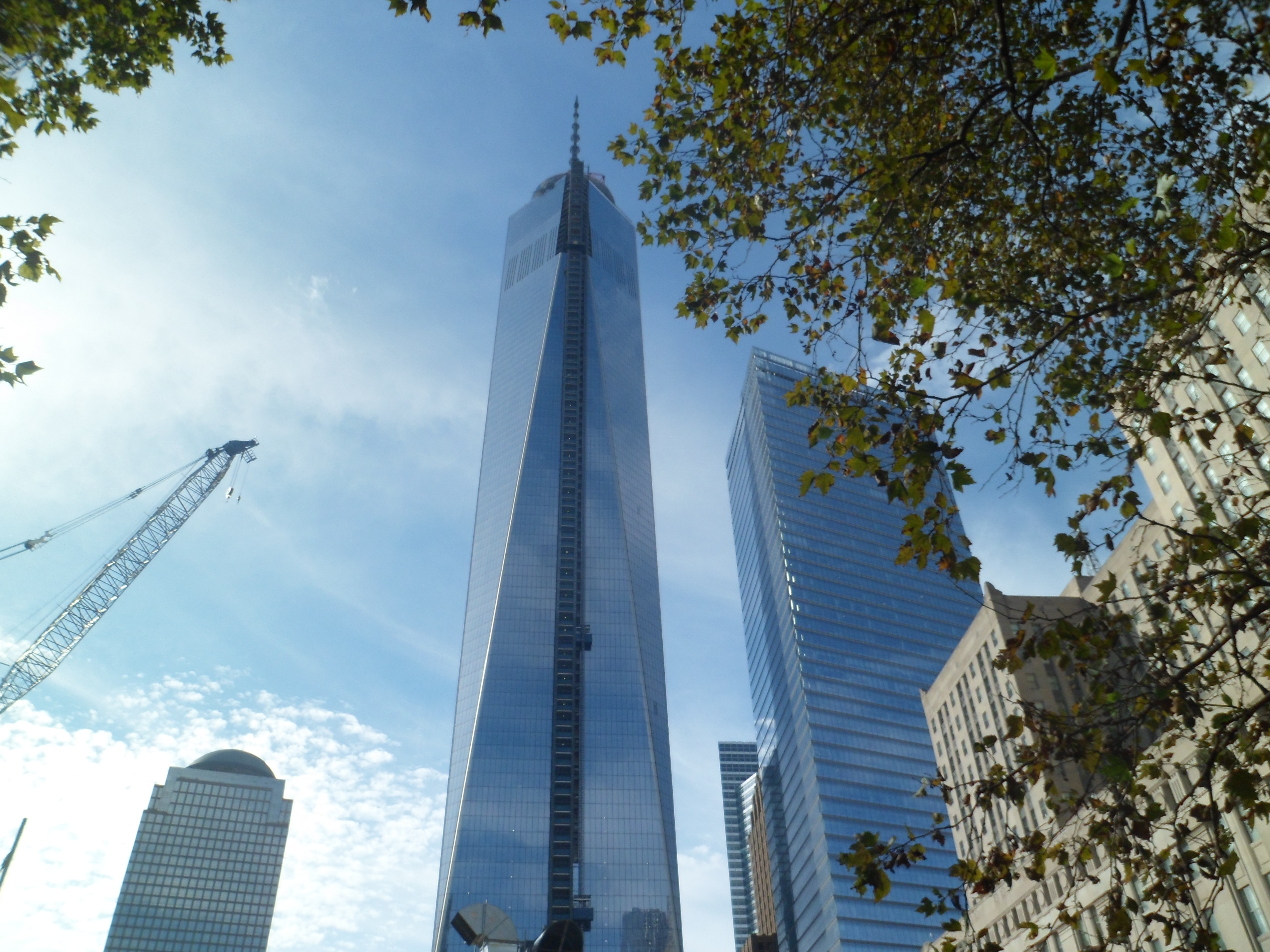
SAM_6855

Somehow, whenever I feel trepidation, or any other time I have needed it, one of these shows up- on the sidewalk, on the trail, or in a rock formation.  This one is of oak bark, and I found it on a Brooklyn sidewalk.  Someone looks out for me, all day, every day.

SAM_6858

From Home to Home, and Back, Day 17: Connecticut Interlude

4

On Thursday, Friday and Saturday of my first week in Massachusetts, I basically kicked back, visited with a childhood friend, and attended a Navy Band concert at Breakheart.  On Sunday, Sept. 8, I drove down to Killingworth, CT, to visit with a member of the Baha’i community in the New London area.

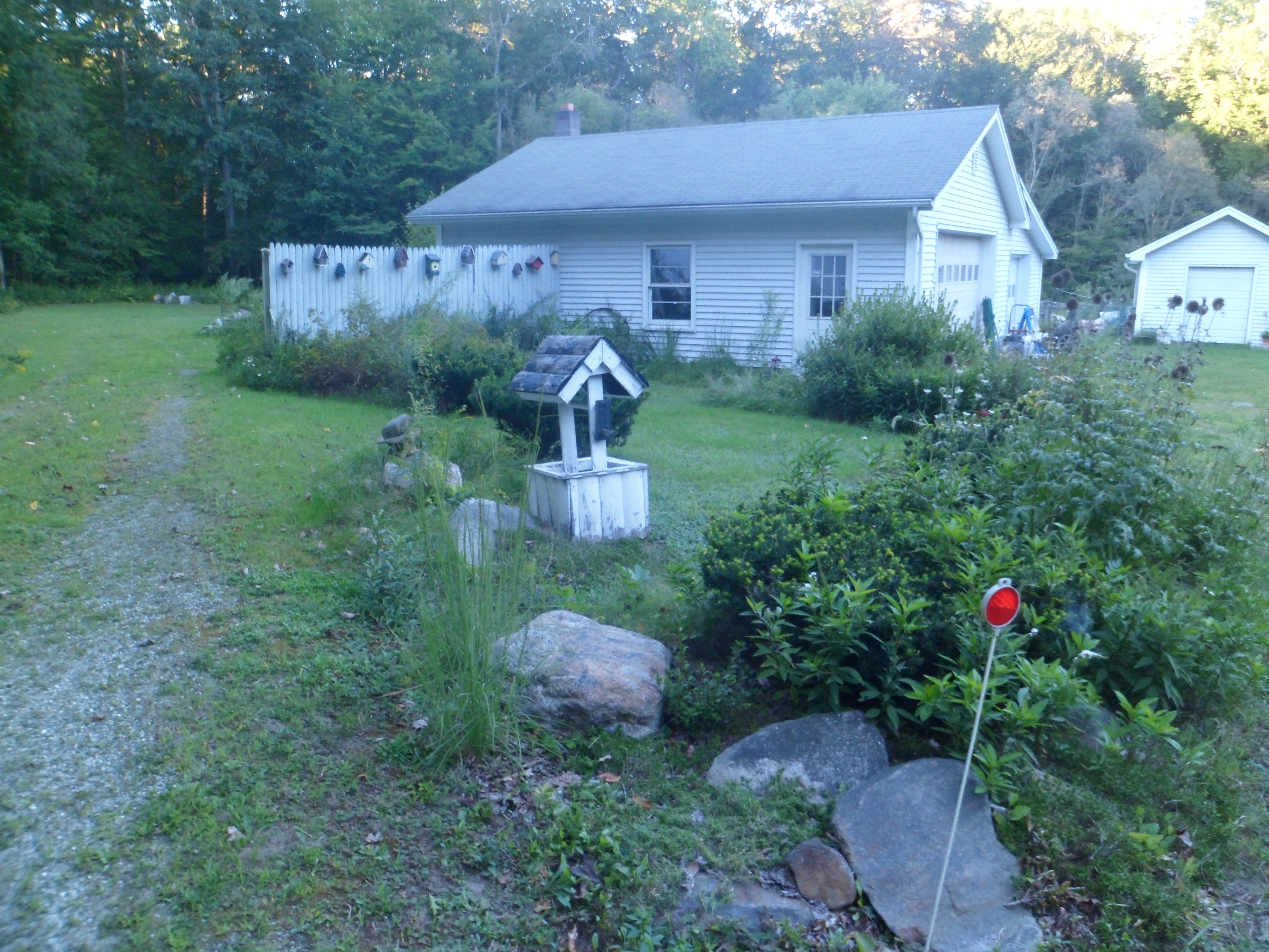
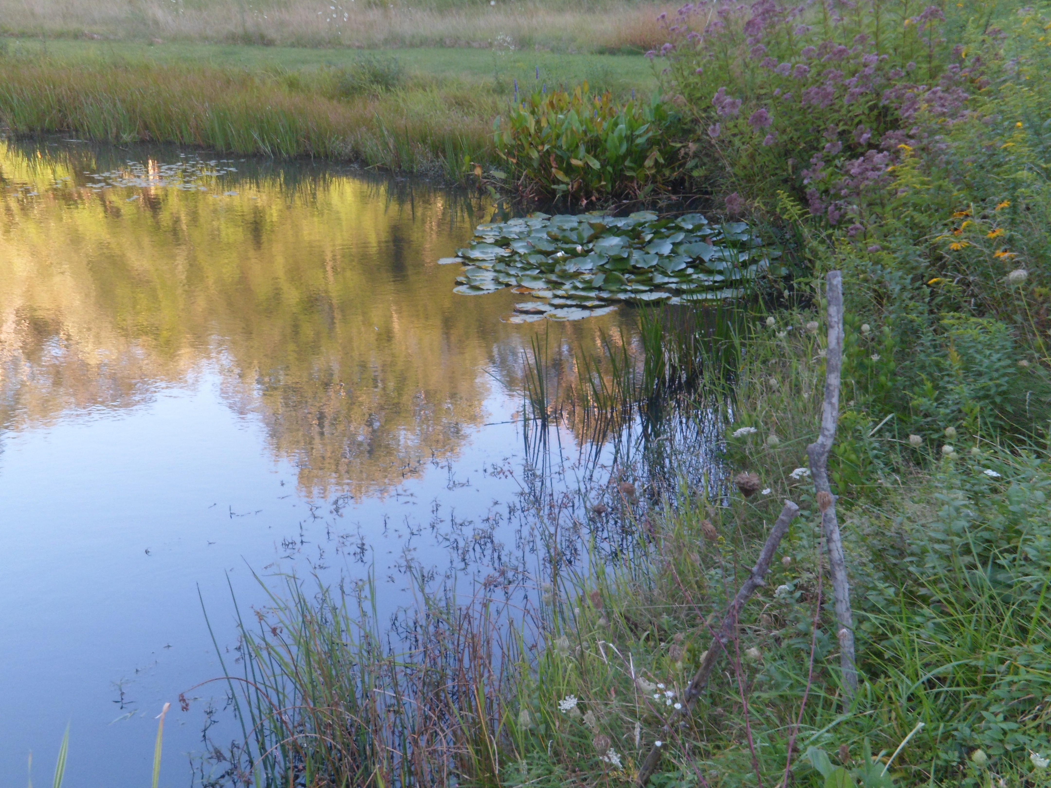
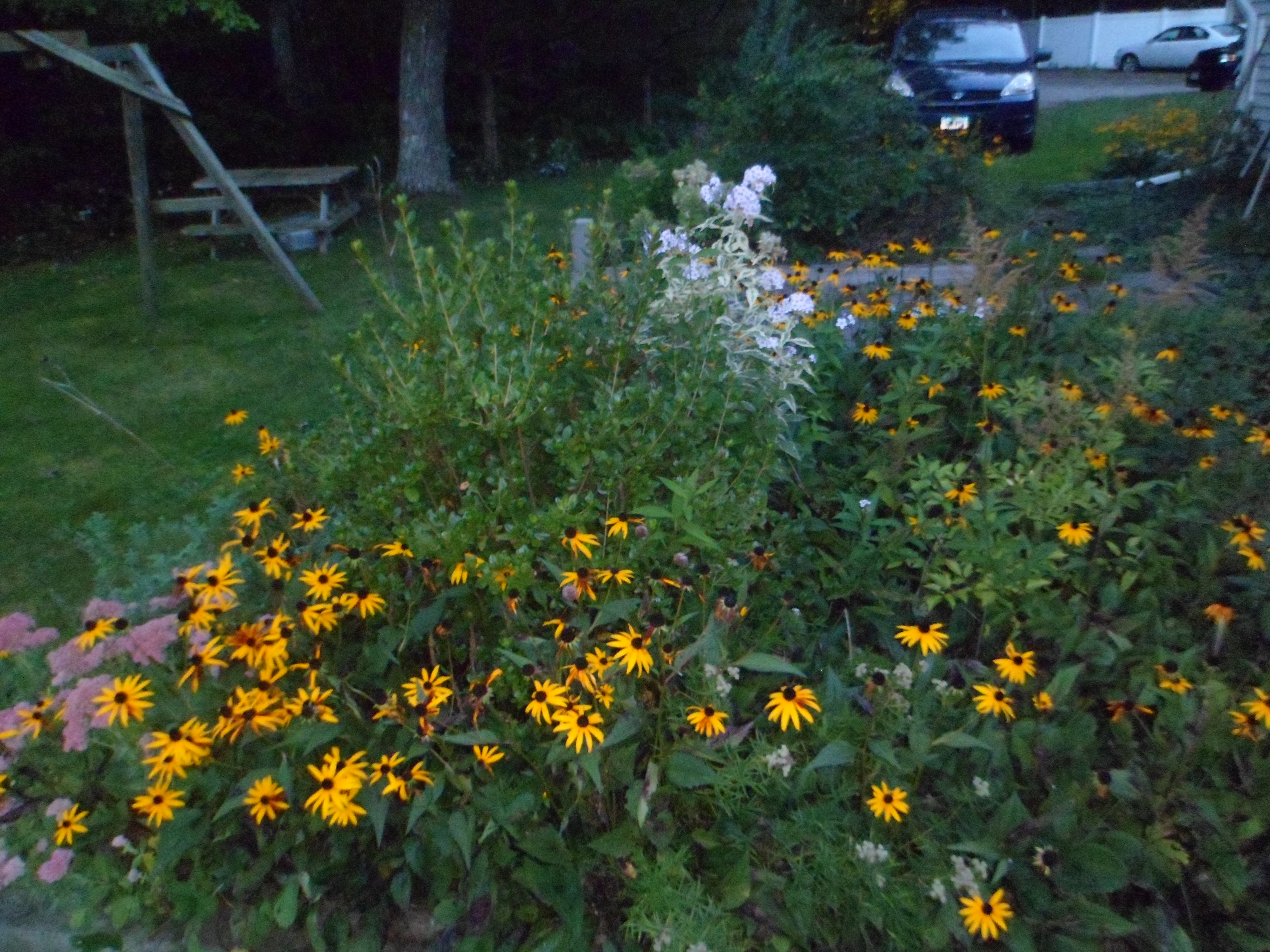
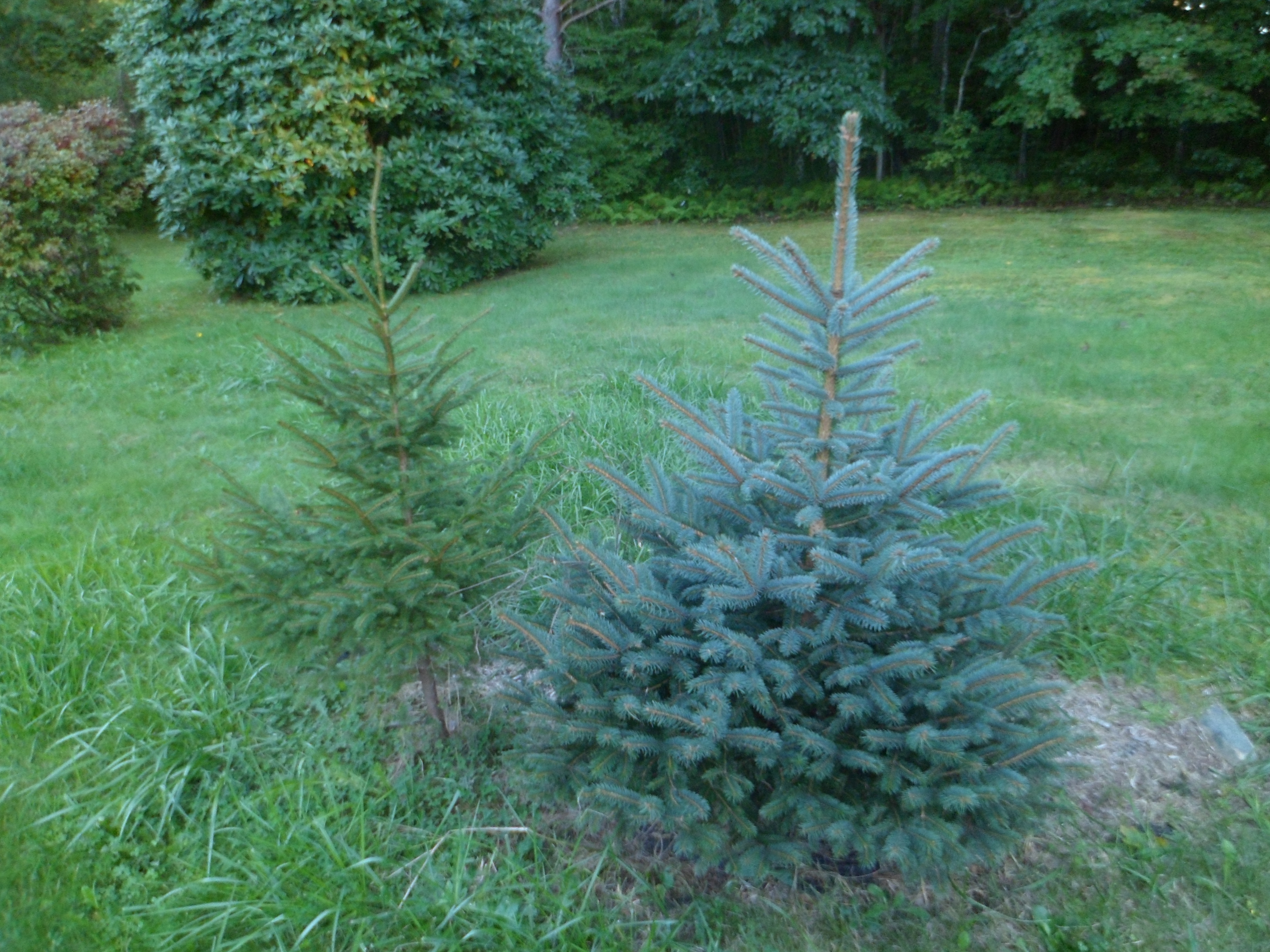
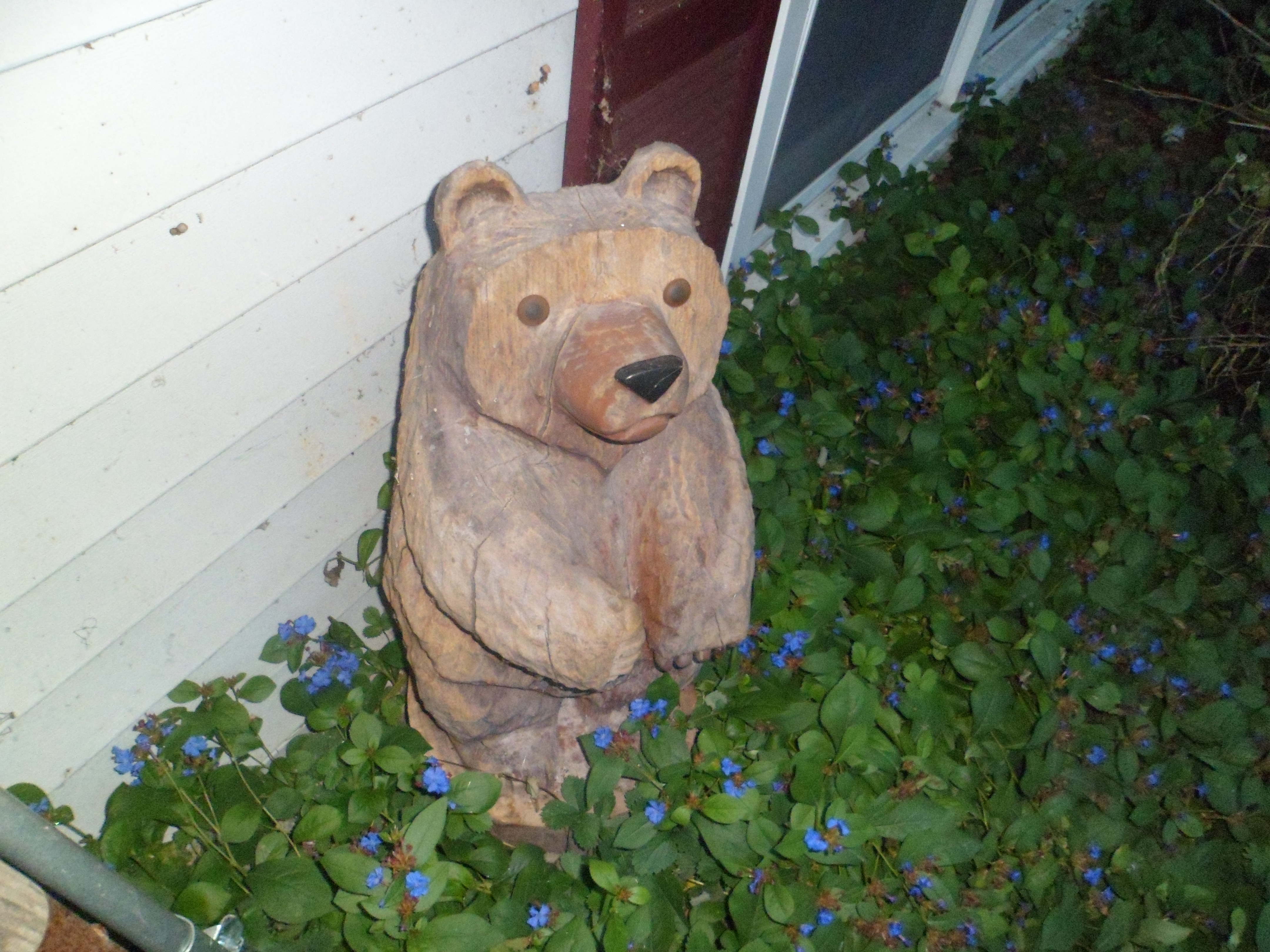
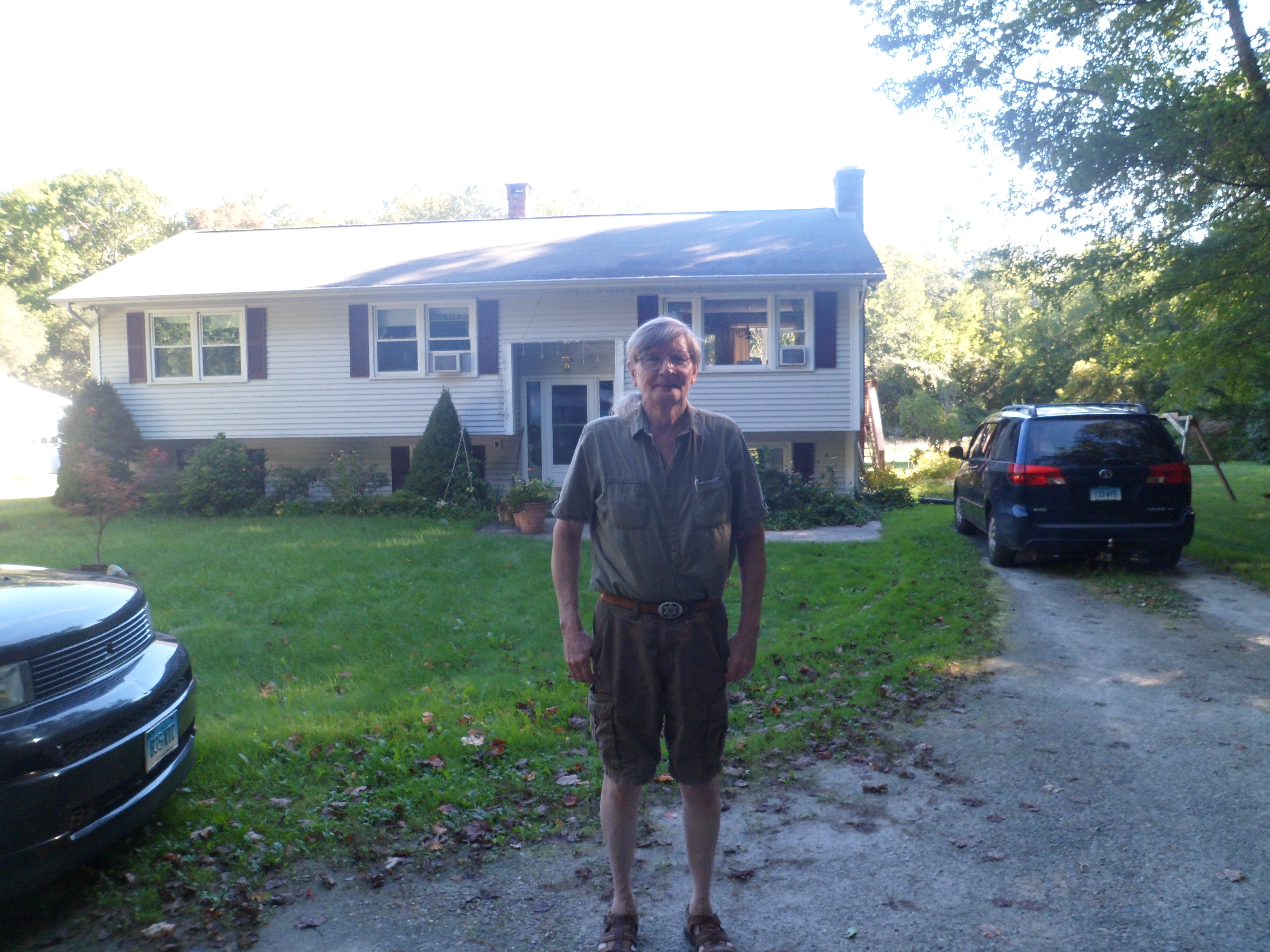
Tom S. is a Renaissance man and has as many ideas in his head, as I have hairs on mine.  Here is a look at his garden-bounded home.

SAM_6822
SAM_6823
SAM_6825
SAM_6827
SAM_6831
SAM_6830
SAM_6832
SAM_6834
SAM_6835
SAM_6836
SAM_6837

I will long remember this Sunday, in the serenity of Connecticut, as turmoil starts to build in my life, once again.

From Home to Home, and Back, Day 14: A Trip Back to Lynn

4

The place I  knew as “downtown”, to which I ran errands for my mother by taking the bus, to which we went to the ocean for a swim, where we often went hiking in the woods, was Lynn.  One of the earliest towns in Massachusetts Bay Colony, a bastion of Puritanism, Lynn became, in the Industrial Age, known as the “City of Sin”, for its gin mills, pubs and houses of ill repute.

The city is now moving forward with recognizing its heritage, and is taking steps to expand a long inchoate Museum of History.

SAM_6791
SAM_6792

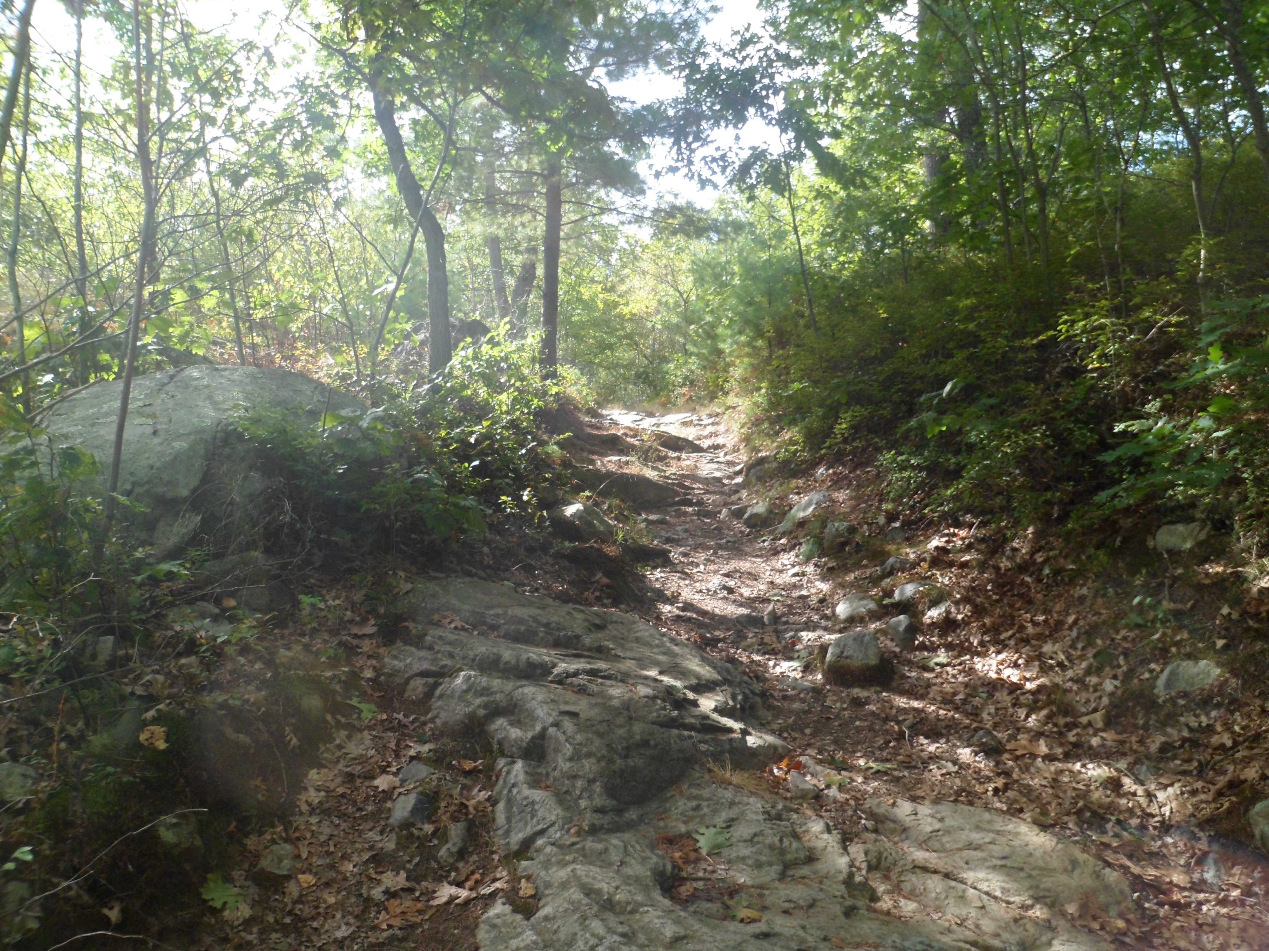
It was to Lynn Woods, though, that my feet needed to go, and so, after a half-hour walk around the museum, I headed five miles west.

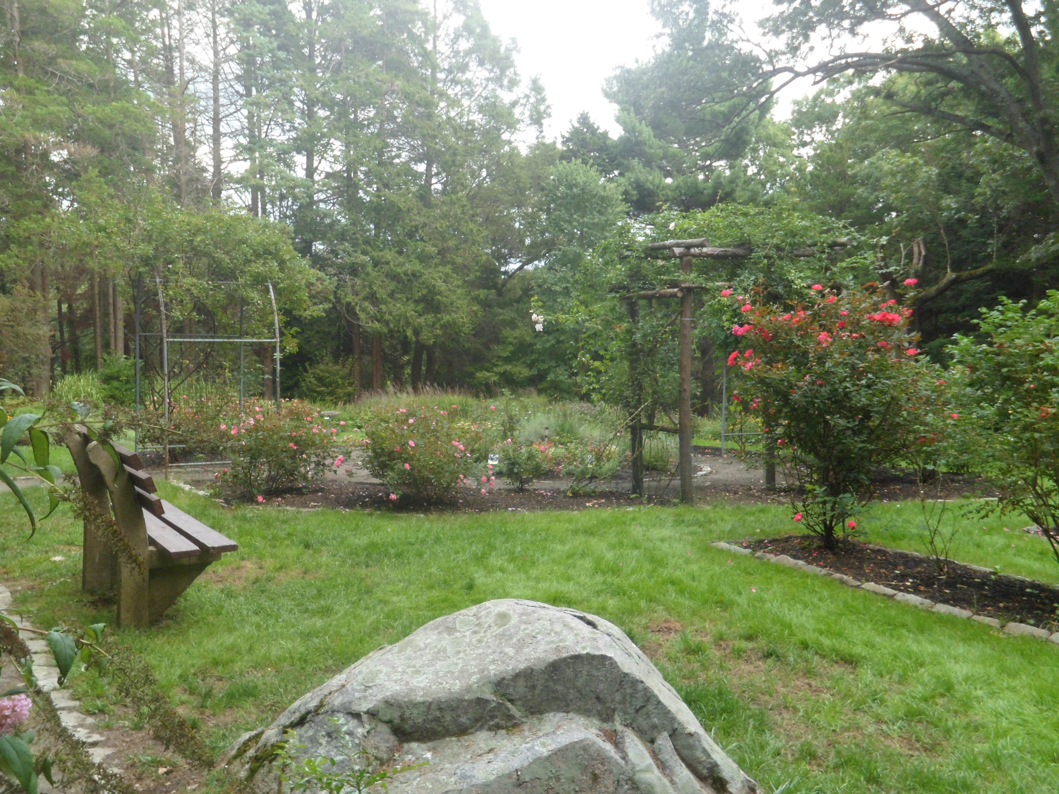
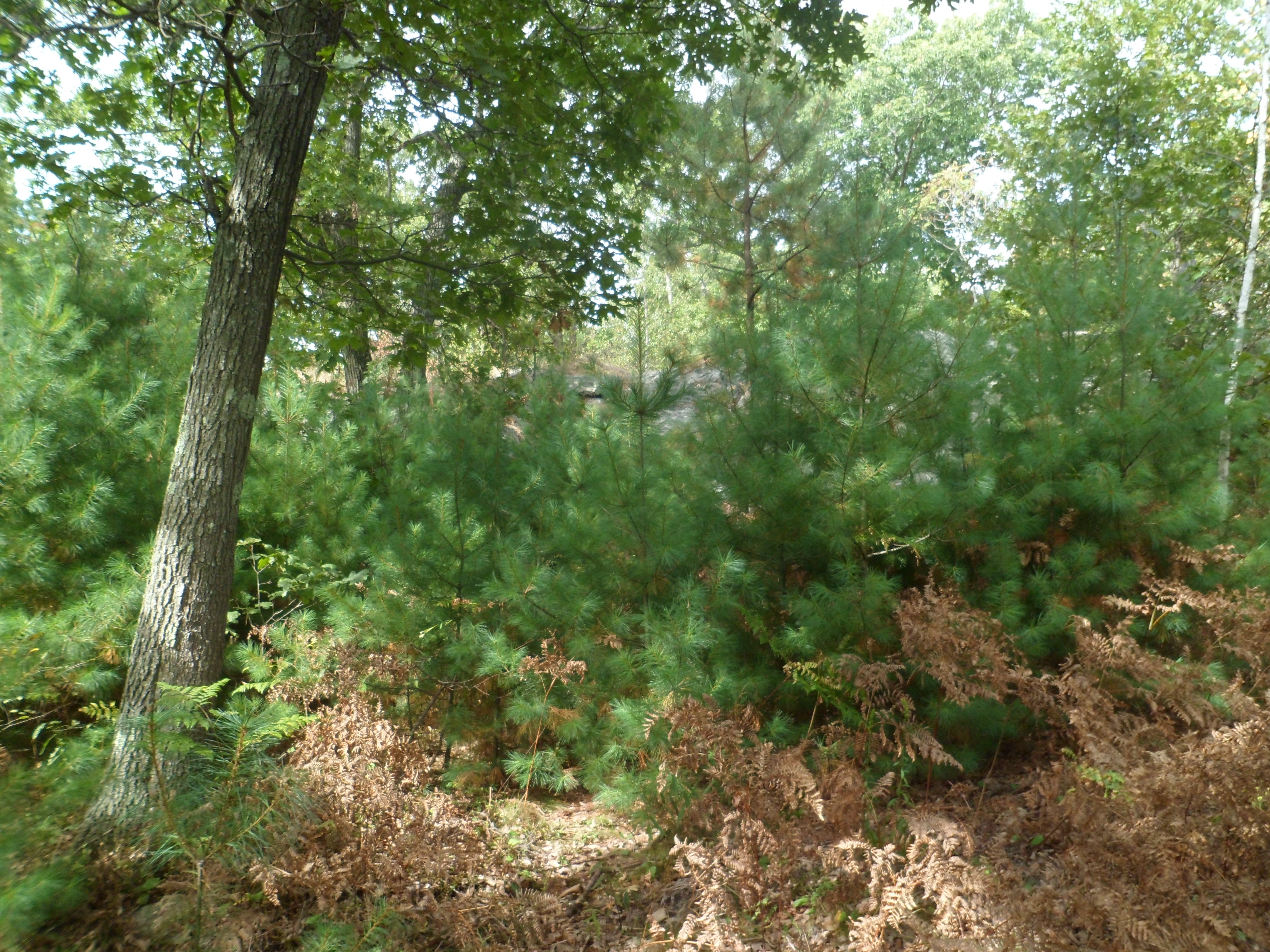
The Preserve has wide bicycle paths, a small rose garden and a shore along Lily Pond.  Mostly, though, there are the trees, and rocks, that are the legacy of a glacial period.

SAM_6793
SAM_6794
SAM_6796
SAM_6798
SAM_6800
SAM_6801
SAM_6802
SAM_6806

Once arriving at these two rock gateposts, know that you have arrived at the park’s western limit.

SAM_6808

Views of Lynn’s Walden Pond (not to be confused with the eponymous body of water in Concord, MA), are off to the north.

SAM_6809
SAM_6810

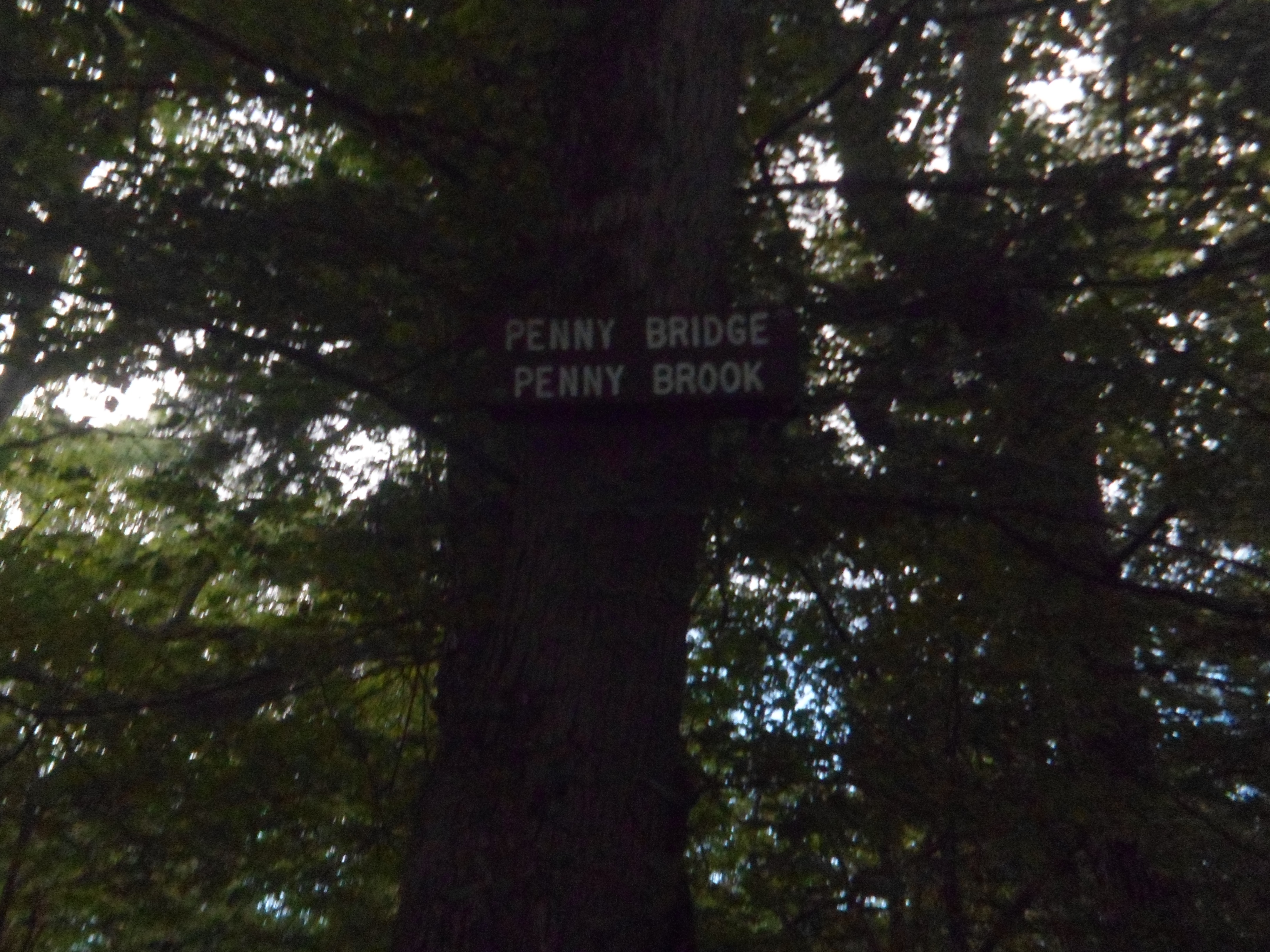
Of course, there is no connection between Penny and this bridge, but it touched my heart, anyway.

SAM_6811

This encounter with my youthful past reminded me that there are good things, marvels, in anyone’s life, at any stage.

Mesa Verde’s Wetherill Side, Part 2- Step House

2

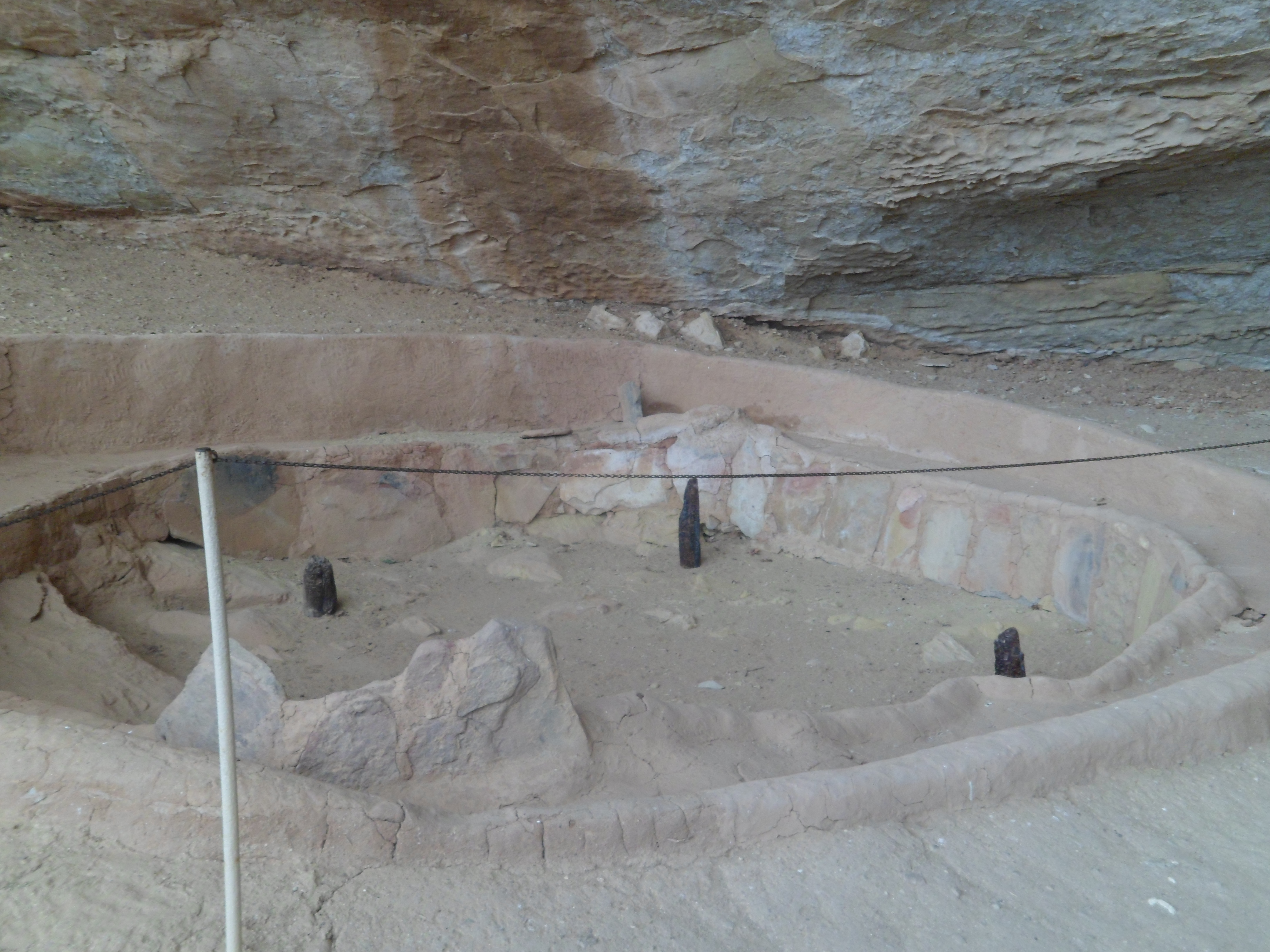
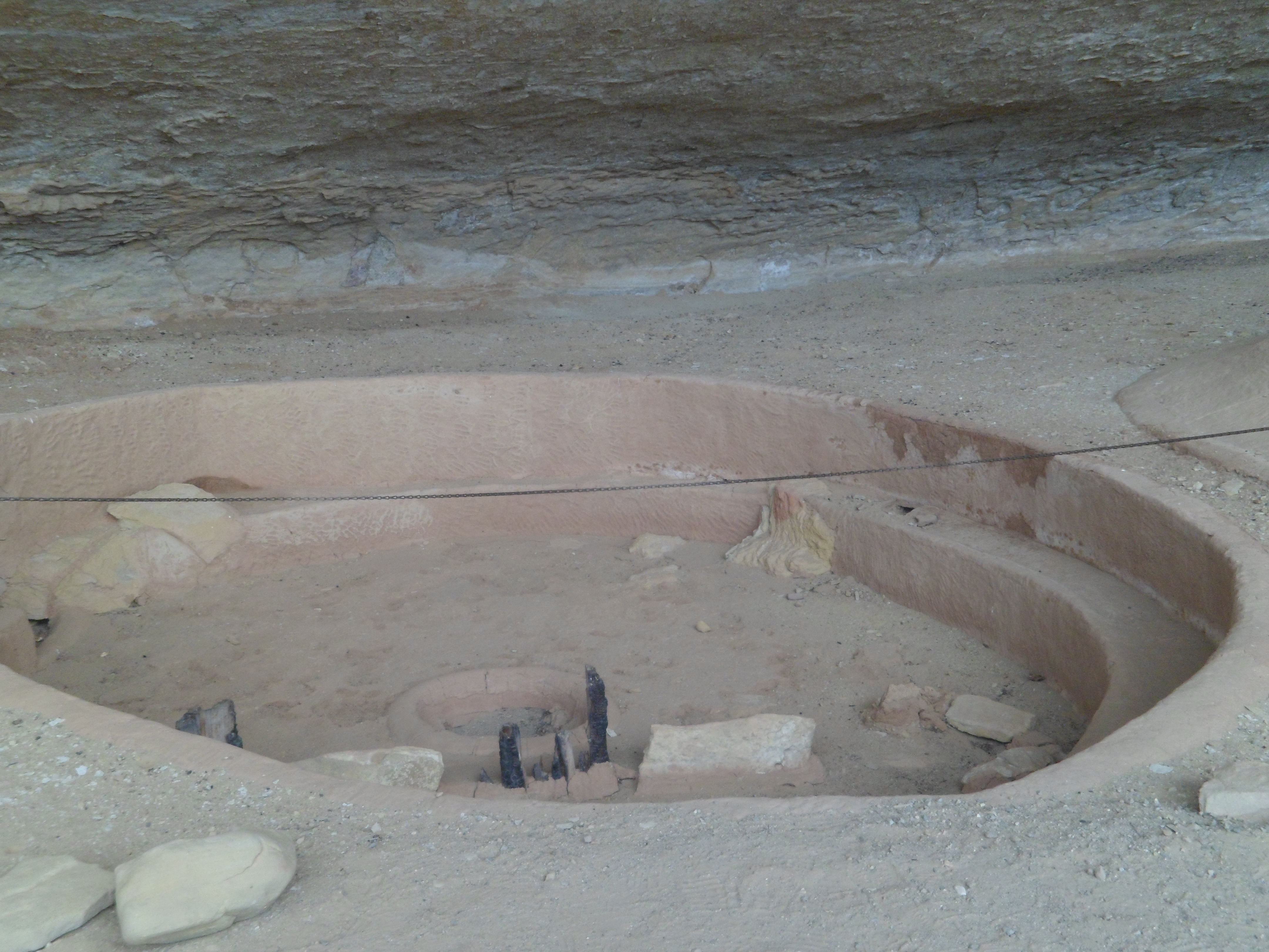
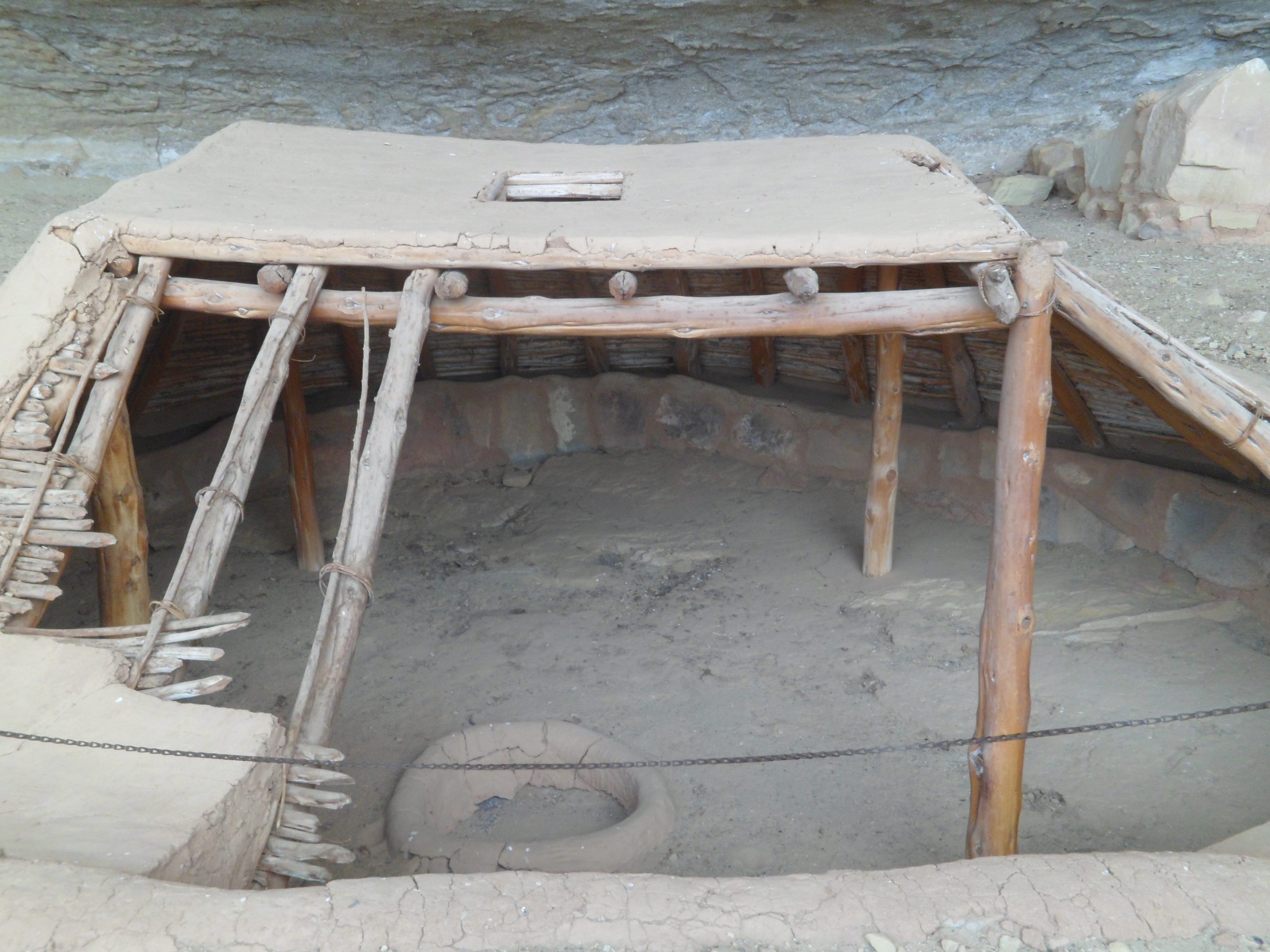
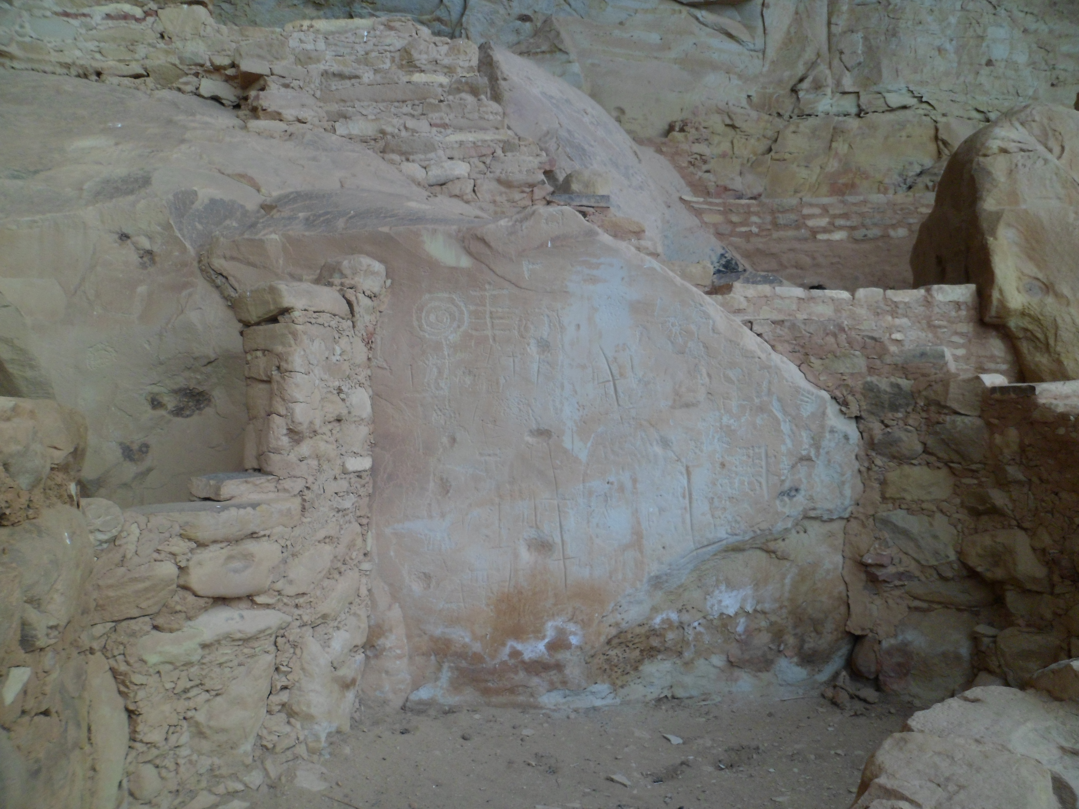
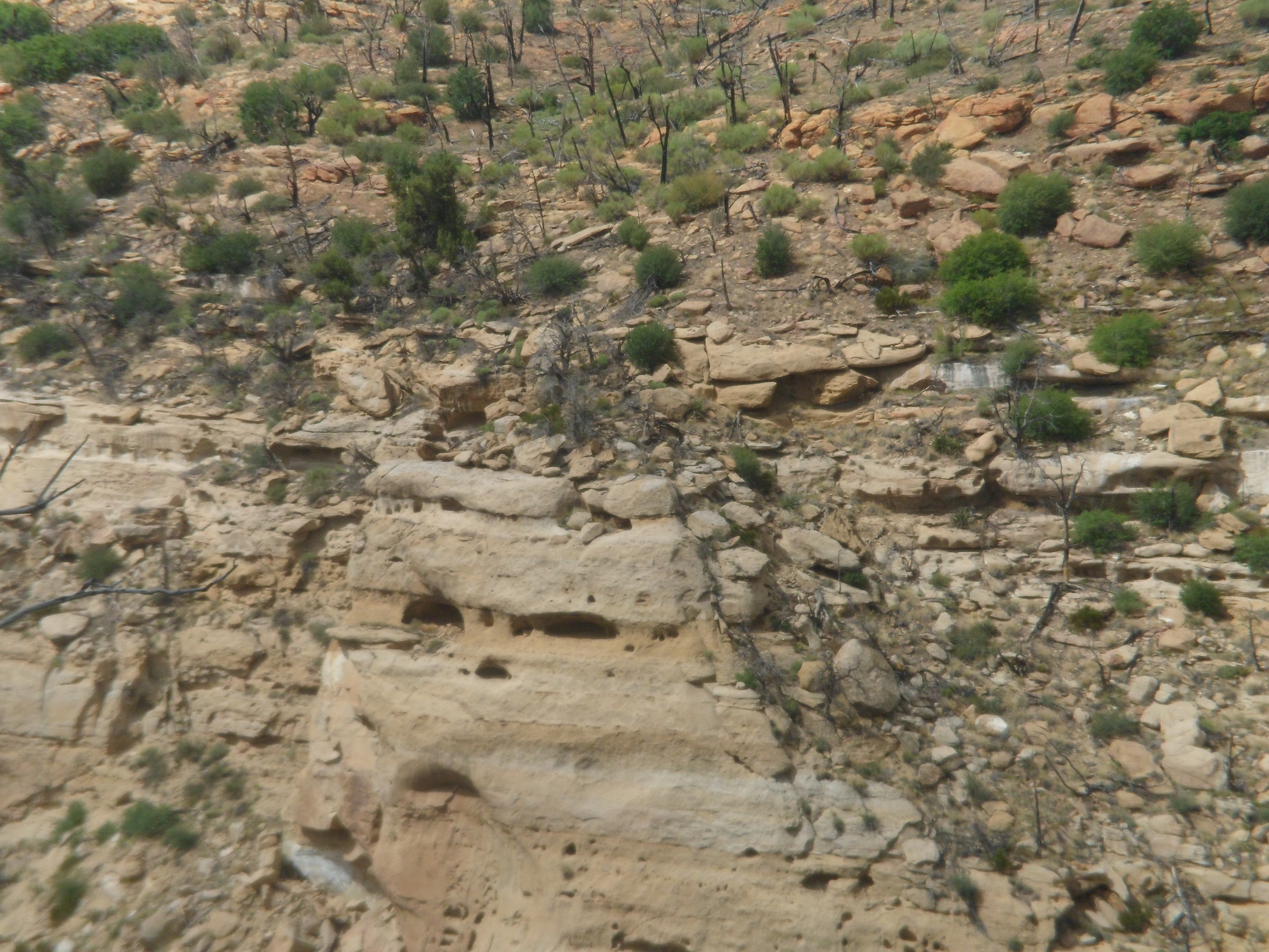
Here are several more specific scenes of Step House, which is the self-guided portion of the mesa.  Long House, which I will visit sometime in the future, is only accessible via guided tour.

SAM_6320
SAM_6321
SAM_6322
SAM_6323
SAM_6324
SAM_6325
SAM_6326
SAM_6329
SAM_6330
SAM_6331
SAM_6333
SAM_6335
SAM_6337
SAM_6338

Then, it was time to climb back out of Step House Canyon.

SAM_6339
SAM_6344
SAM_6345
SAM_6346
SAM_6349
SAM_6352

In the end, a lone bird made the statement that nature is the most resilient of forces.

SAM_6353

So, another fine visit to Colorado came to an end, following dinner at Jack and Janelle’s, in Cortez, on August 1.  Ironically, a second such visit will end on Thursday.

Mesa Verde’s Wetherill Side- Part 1, The Gate to Step House

10

Wetherill Mesa, on the west side of the park, is one of the more patience-building areas in our National Park system.  This is because it’s off-limits, much of the year, and is only open 6 hours a day, when it is accessible.

I recognize the reason- the narrow road, with sheer drop-offs in spots, would be horrific places to end one’s life.

Here are some scenes from this final stop on my earlier spiritual quest, on August 1.

This is in two parts.  First, from the gate to the trailhead for Step House, one of two preserved ruins at Wetherill.

SAM_6289
SAM_6290
SAM_6292

A hawk graced the sky overhead, on that warm day.
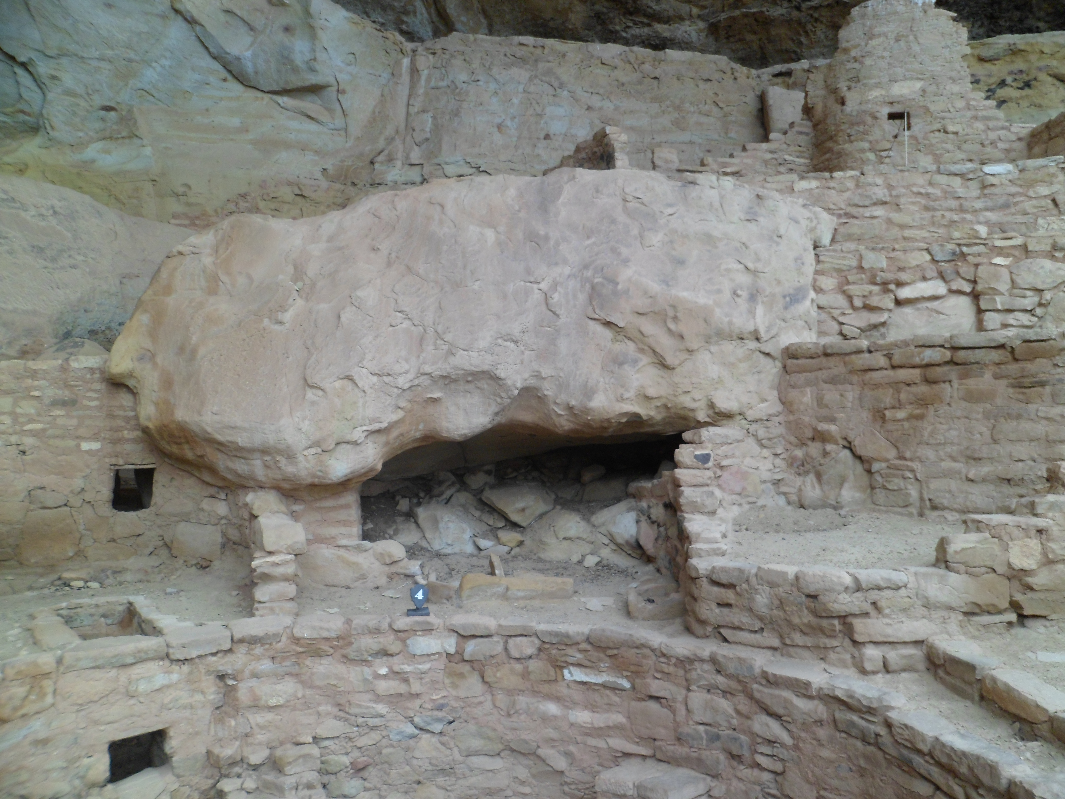
SAM_6294
SAM_6295
SAM_6297
SAM_6298
SAM_6300

Much of the area was ravaged by wild fire, in 2011.

SAM_6303

Much of it is coming back, however.

SAM_6304
SAM_6306
SAM_6311

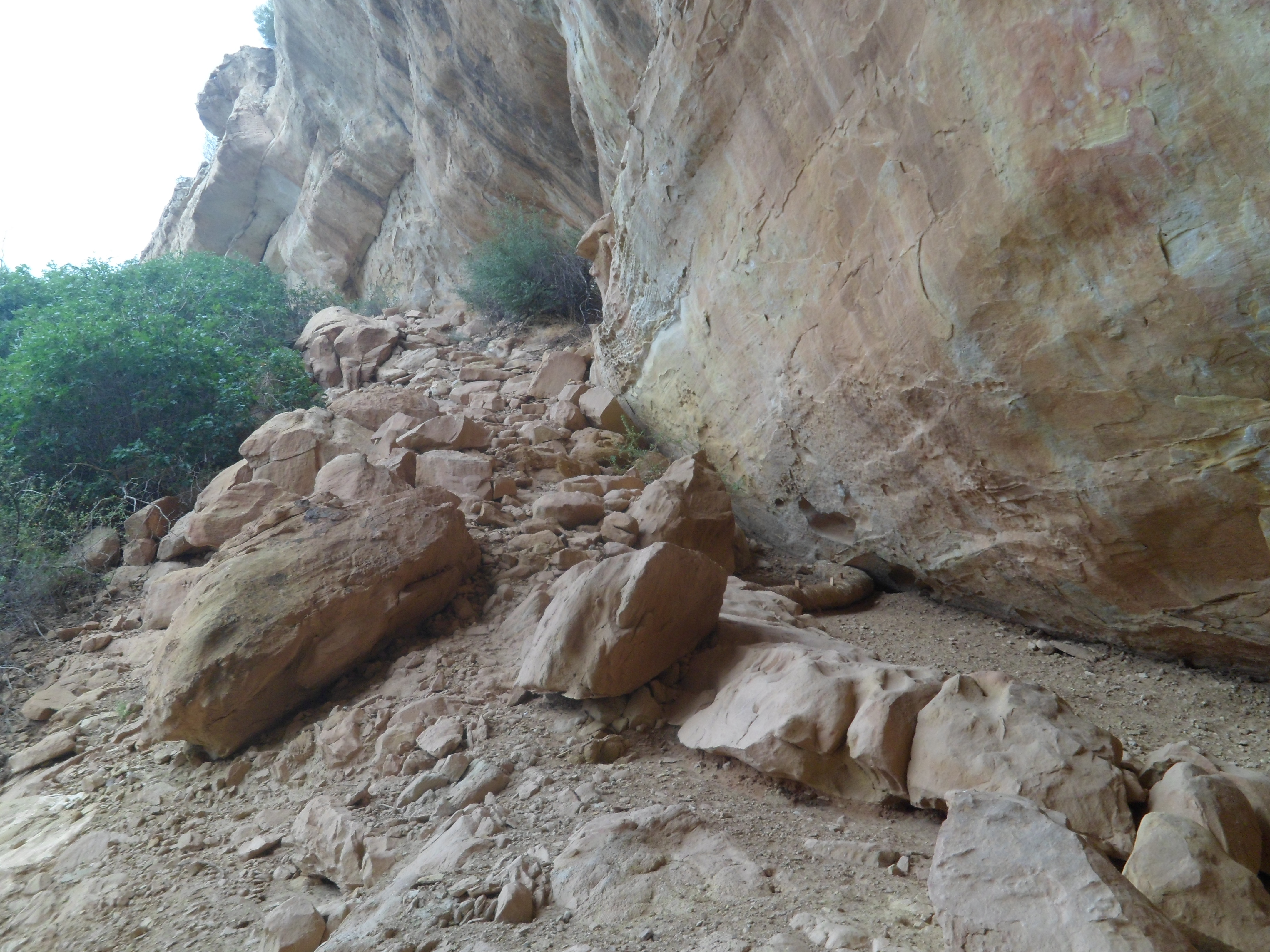
There are a fair number of pictographs and petroglyphs, along the approach to Step House.

SAM_6312
SAM_6314
SAM_6315
SAM_6319

Next: Step House’s Preserved Ruins

From Home to Home, Day 13, Gloucester, Part 3: The Hillside and North Harbor

5

Gloucester’s Italian and Portuguese communities tend to live on the hillside, west of the harbor.  Government structures are also found there.

I started my journey away from harbourside, by crossing to the Botanic Garden, in the median.

SAM_6772

On the west side of the street is this memorial to Gloucester’s WWII veterans.

SAM_6773

To get up into the neighbourhood, it is necessary to cross this canal bridge.

SAM_6774

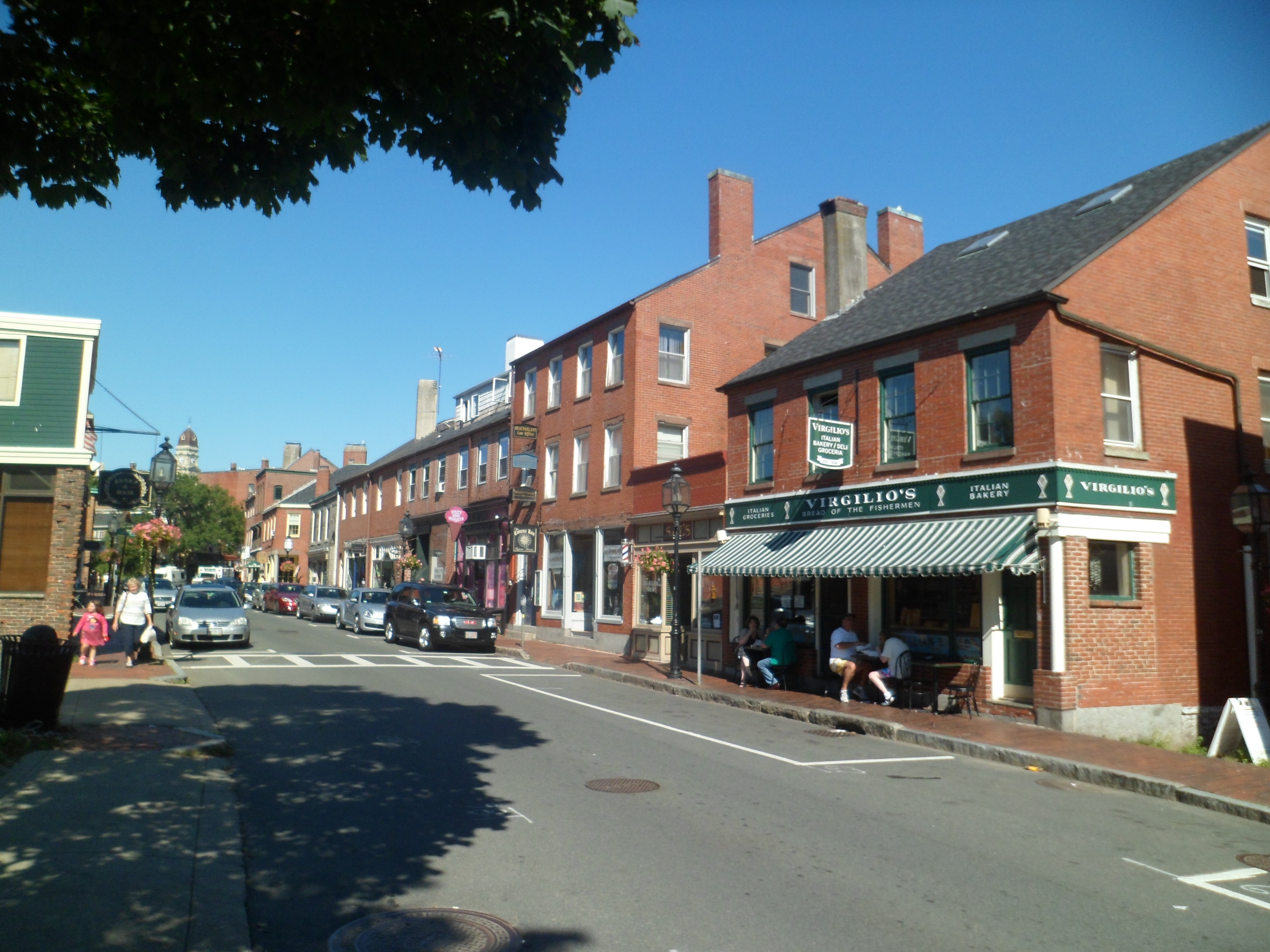
There is a mini-version of Boston’s North End here, in on Gloucester’s West Side.

SAM_6775

Culture is well-represented.

SAM_6776

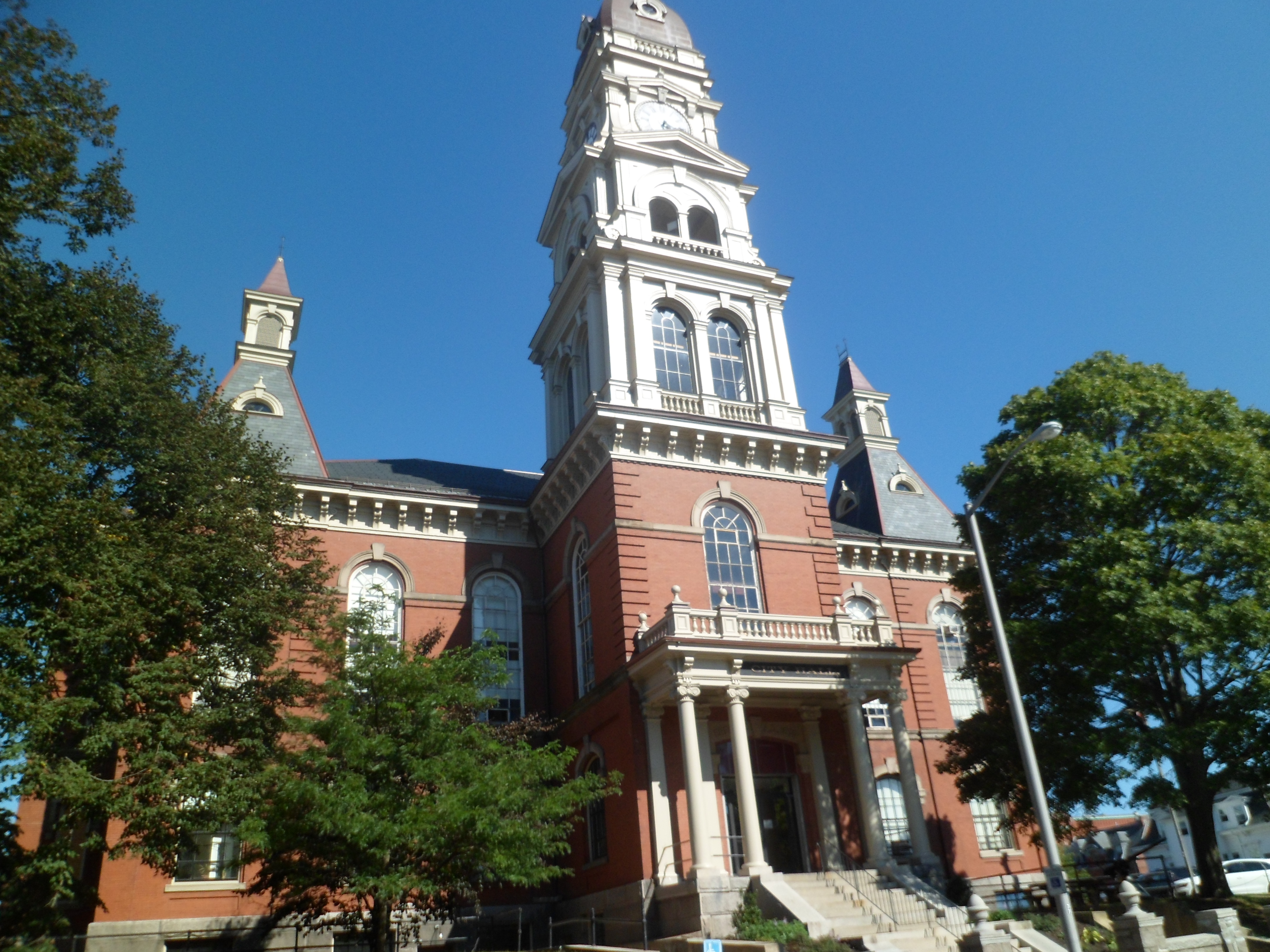
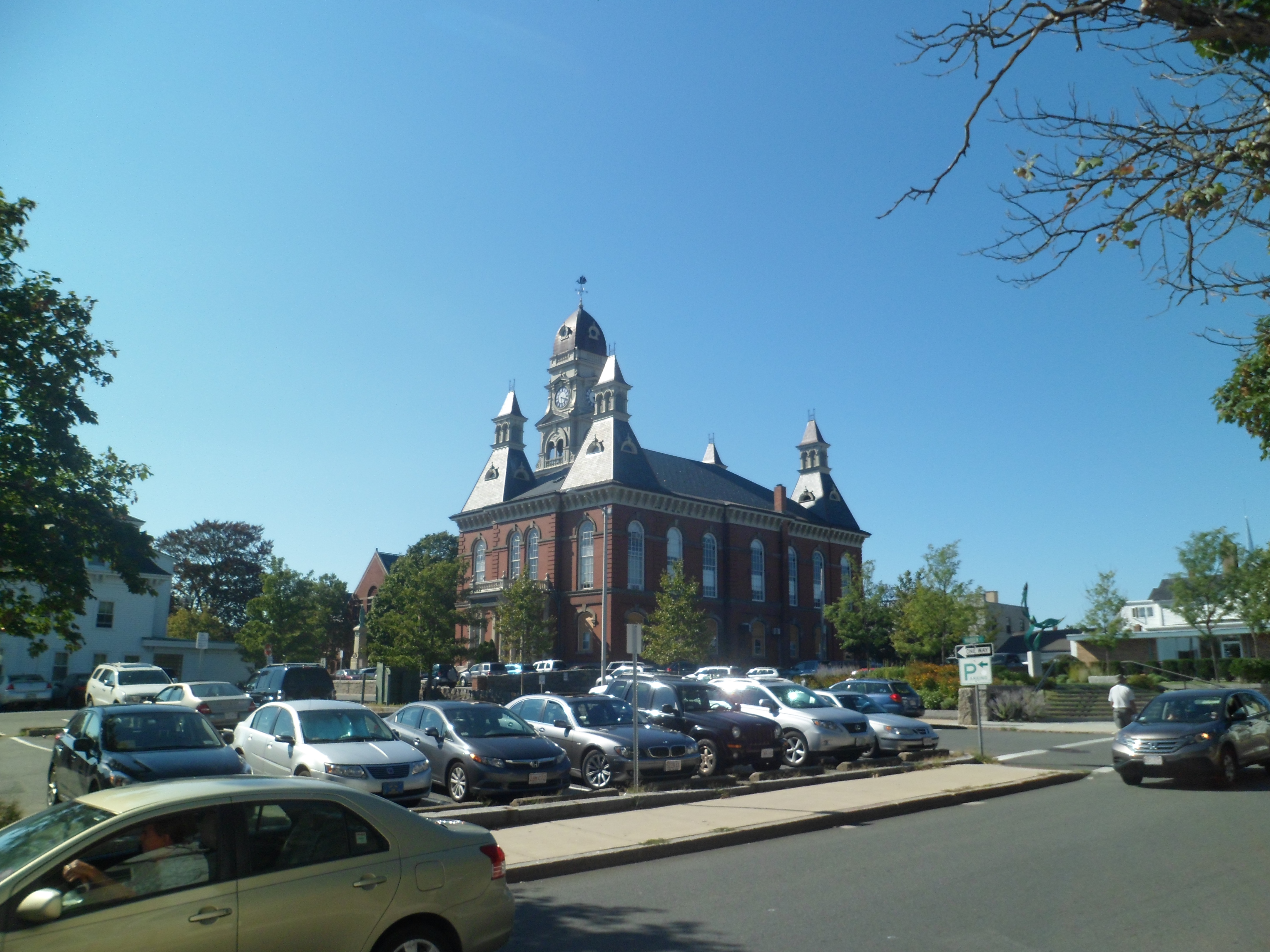
Here are a near and a far view of Gloucester City Hall.

SAM_6781
SAM_6783

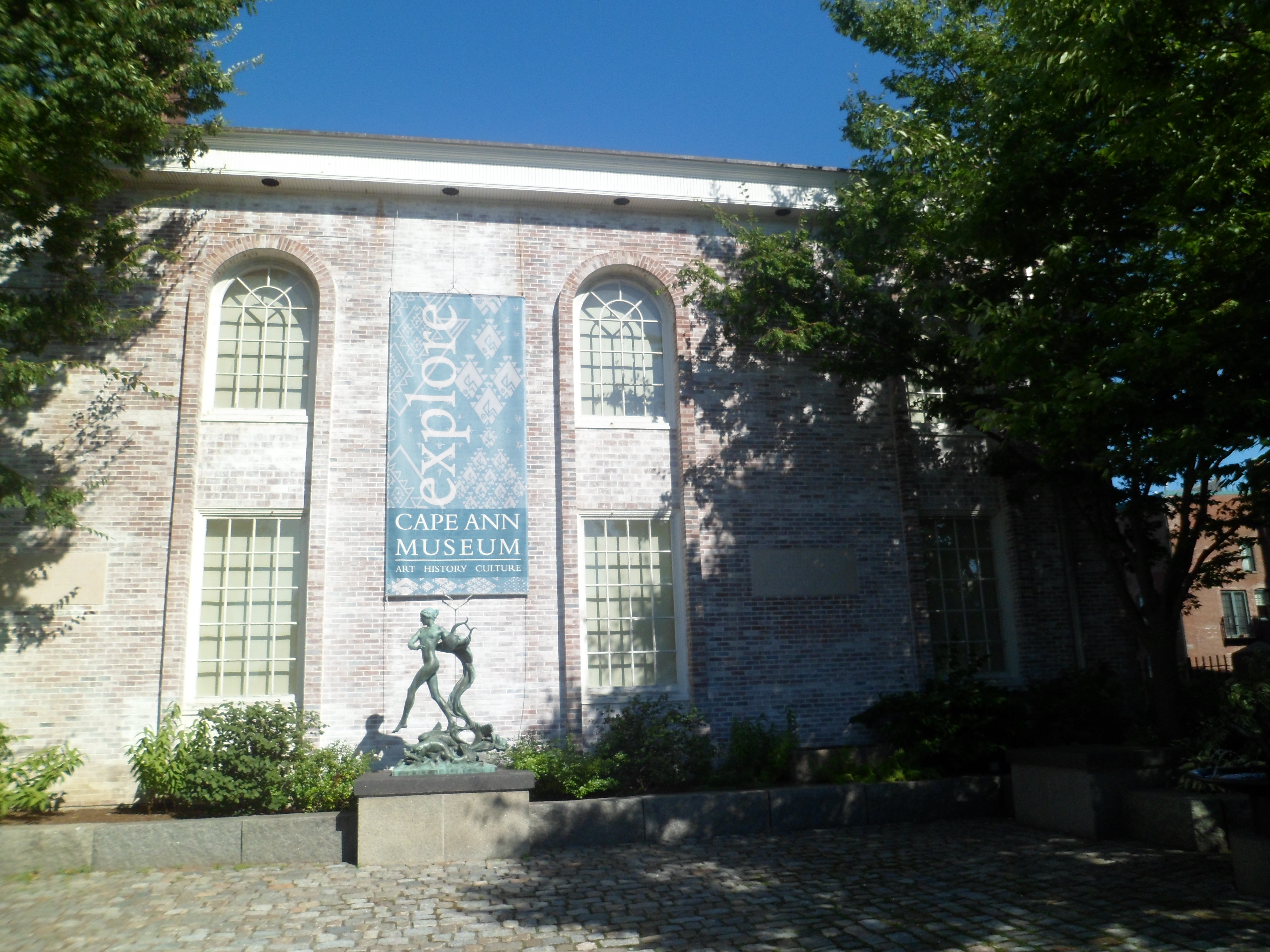
I tend to stay out of museums, when the weather is nice, but here is the Cape Ann Museum of History, for another day.
SAM_6784

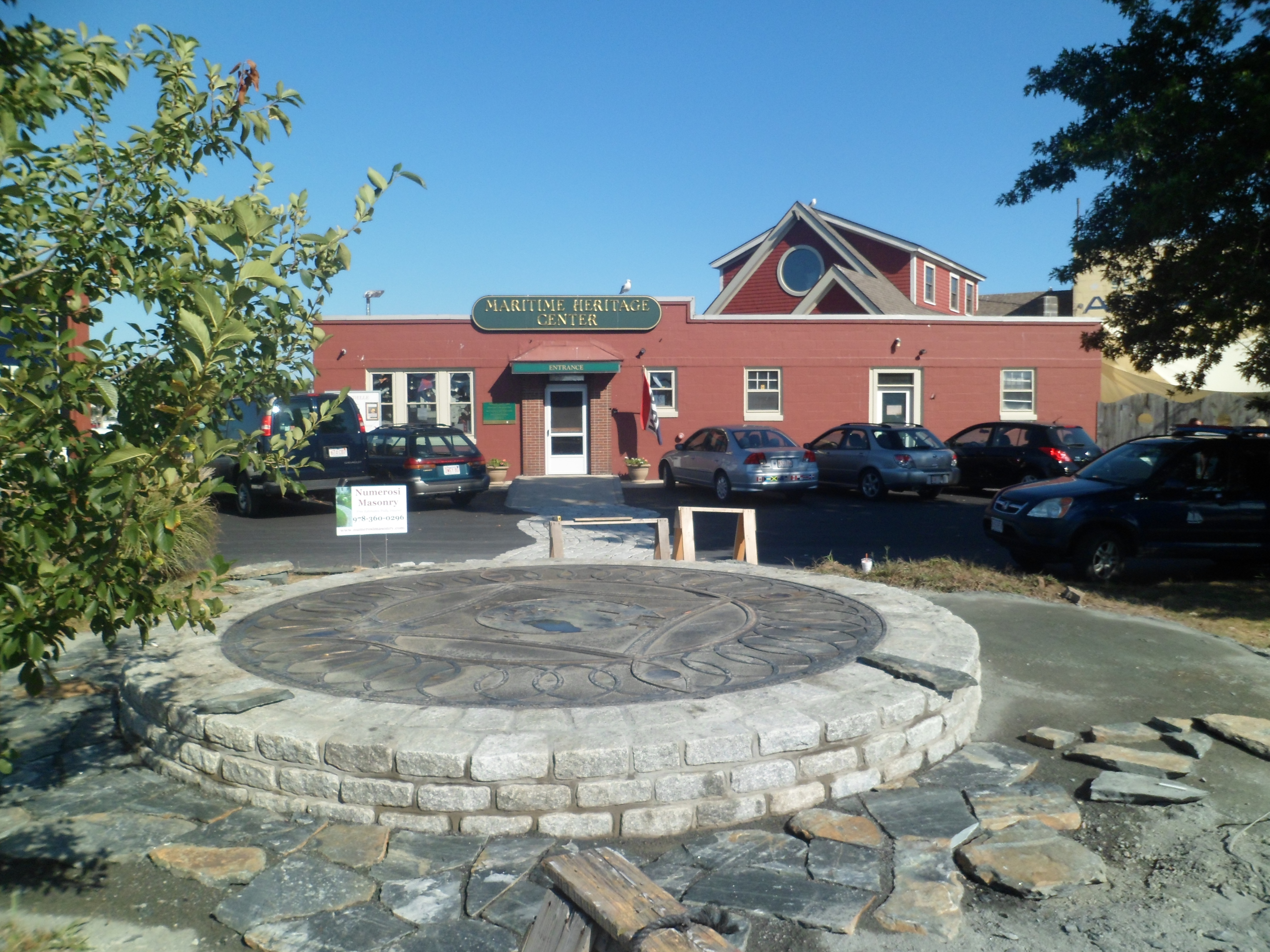
Maritime Heritage Center is also a must, for those who seek to understand a hard-working seaside community.

SAM_6787

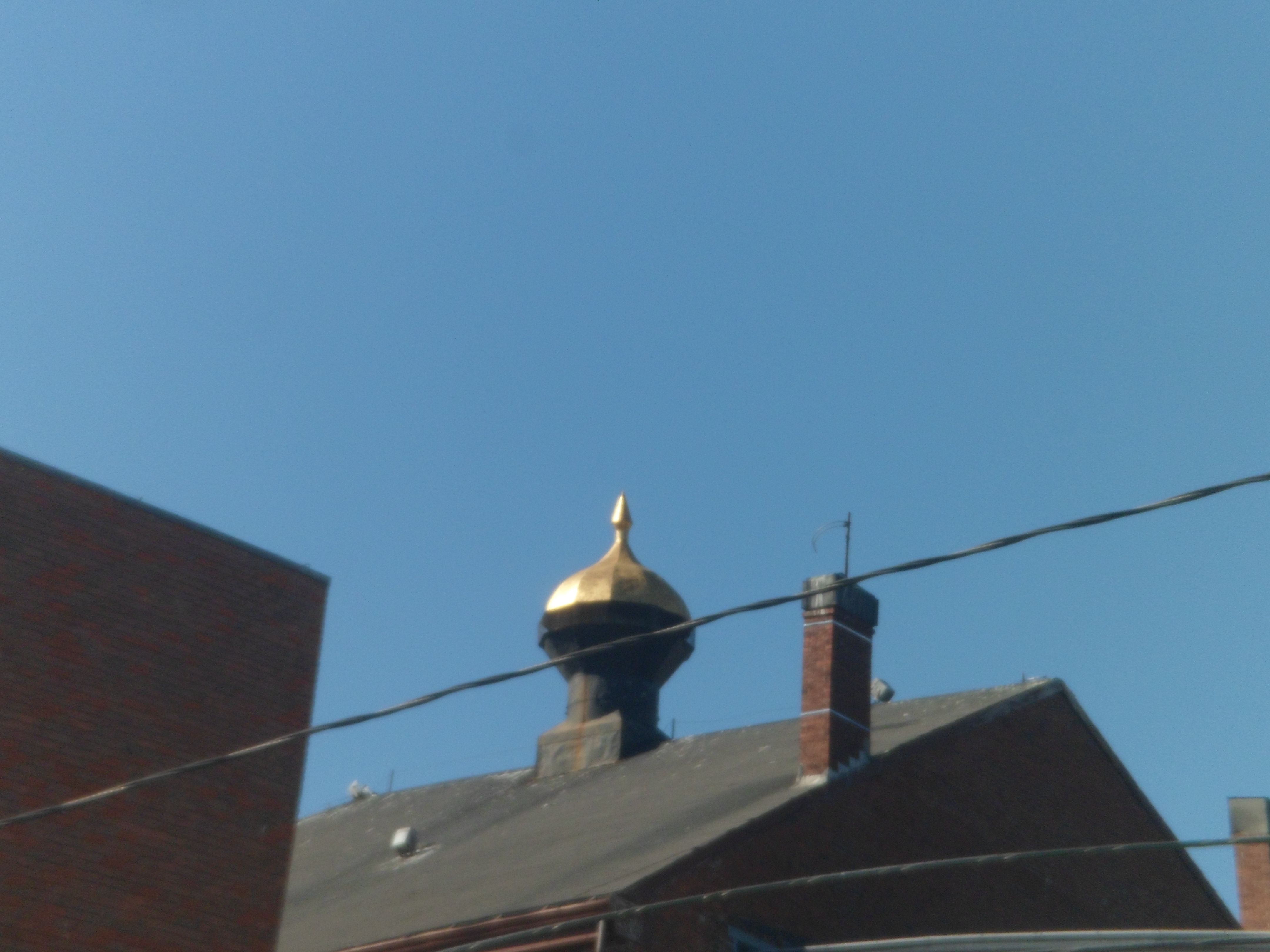
I ended my day by contemplating this roof cupola.

SAM_6790

I am always proud of my New England heritage, so these three posts on Gloucester show what matters to me, in terms of nature, community and honest work.

Chimney Rock National Monument

8

This abandoned settlement, east of Mesa Verde, predates the larger sets of ruins by 300-500 years.  The settlement was built by people known these days only as “Ancient Puebloans”. They are regarded as the ancestors of those who built Mesa Verde and of the modern Zuni,  Keresan and Tewa peoples, of New Mexico.

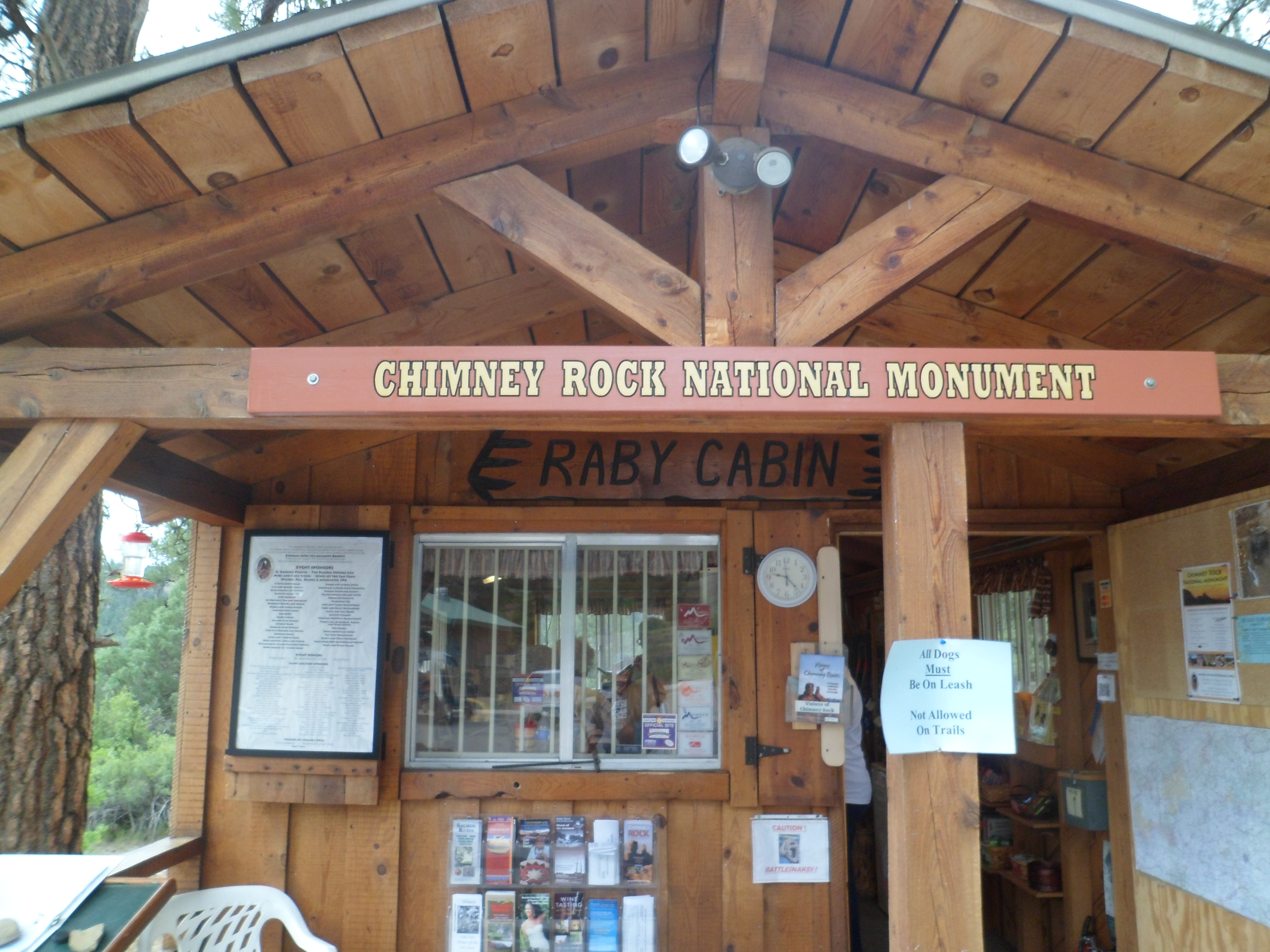
Here are some scenes of the area, taken during a guided tour, on August 1.  All tours begin and end HERE.

SAM_6253

Then, visitors pile into their vehicles and follow the guide, up the road.  Scenes like this may be had, from the upper parking lot, near the first ruins.

SAM_6255
SAM_6256

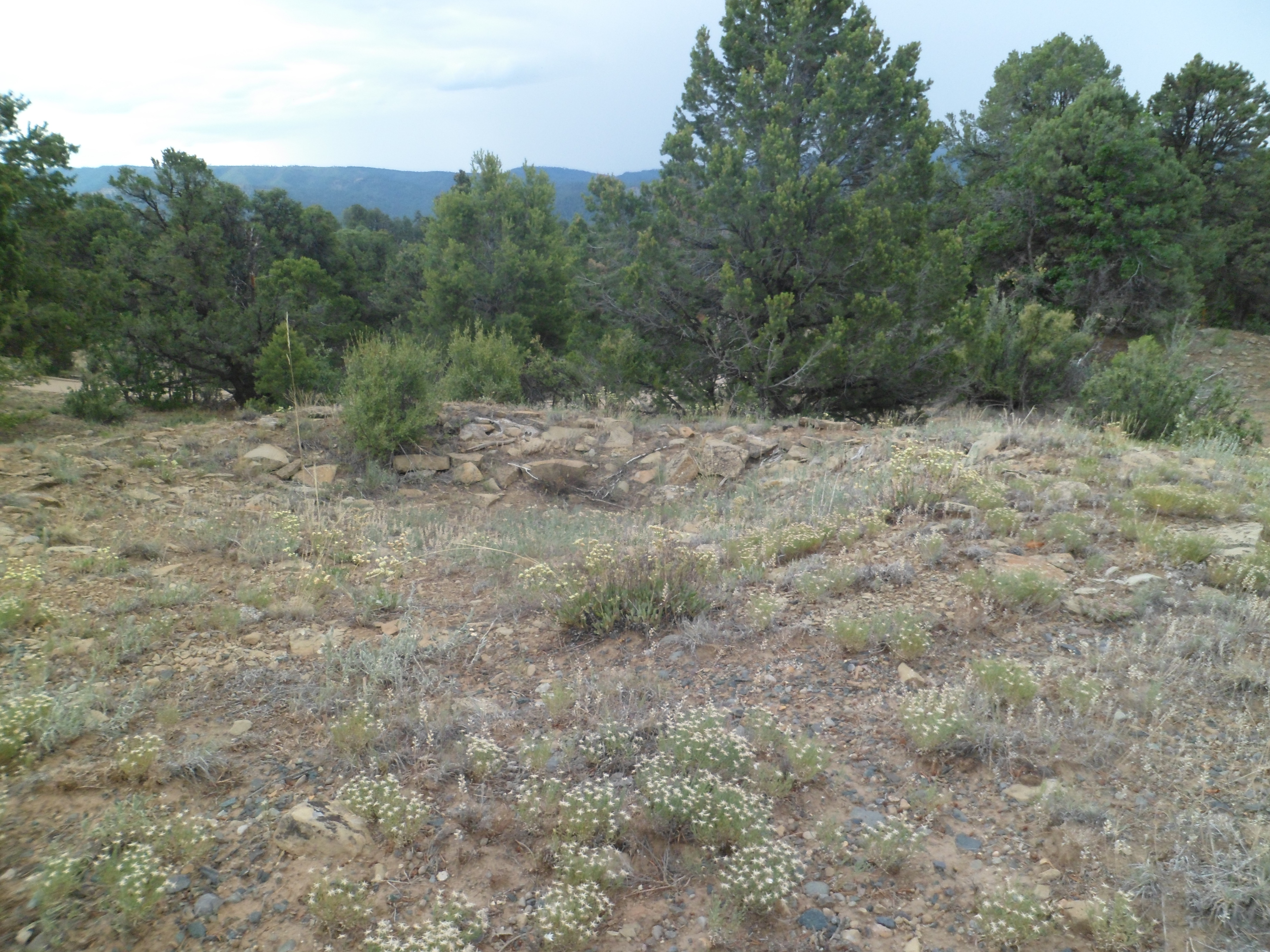
Here is an example of an unexcavated house site.

SAM_6257

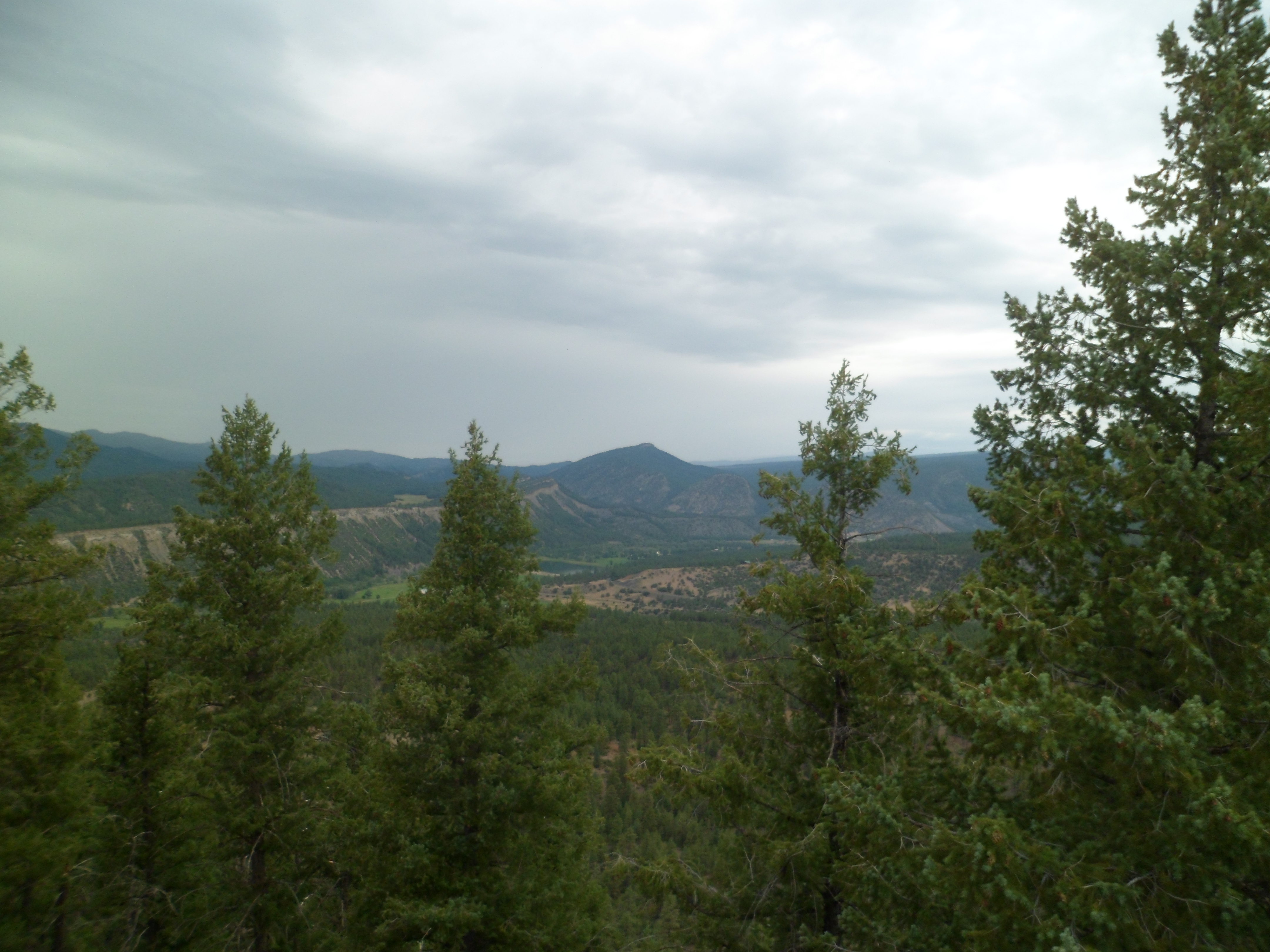
It was pretty hazy on that day, but one could get a sense of the ruggedness of this area.

SAM_6265
SAM_6268
SAM_6257

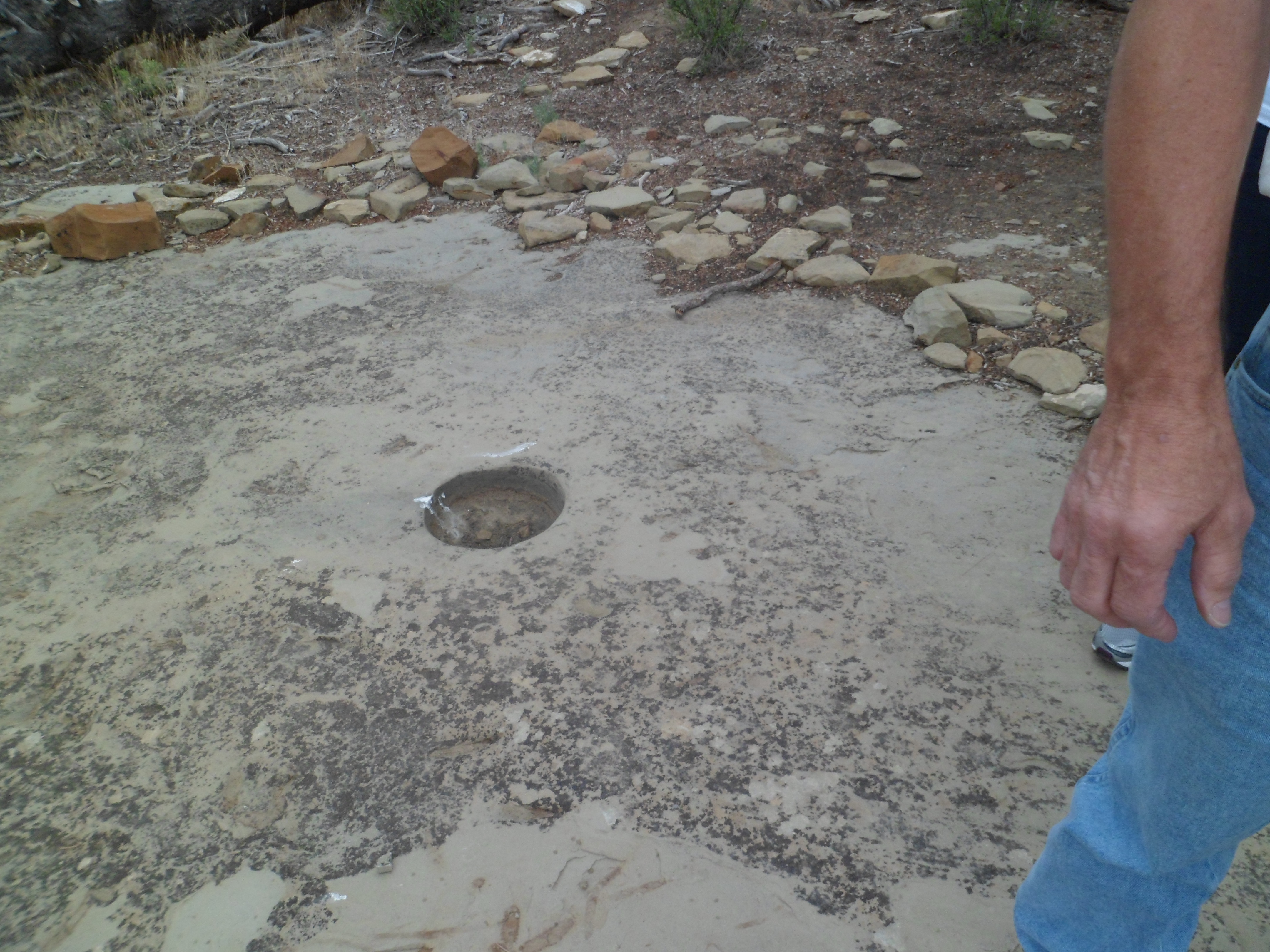
Here’s a semi-excavated site. ^  Below, is a marker, used by the ancients, for astronomical positioning.

SAM_6258

Here is one of the granite formations near the first set of dwellings.

SAM_6259

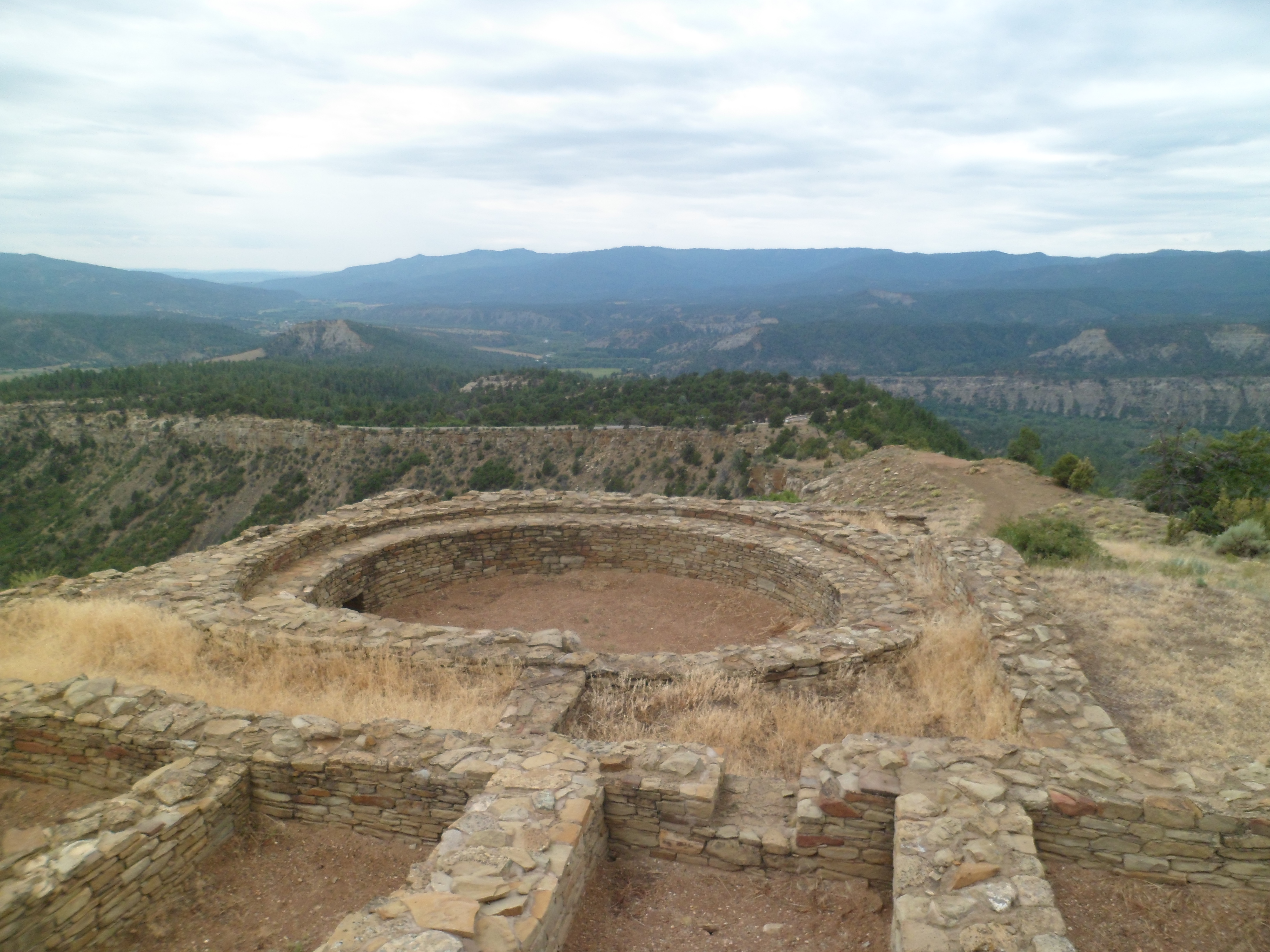
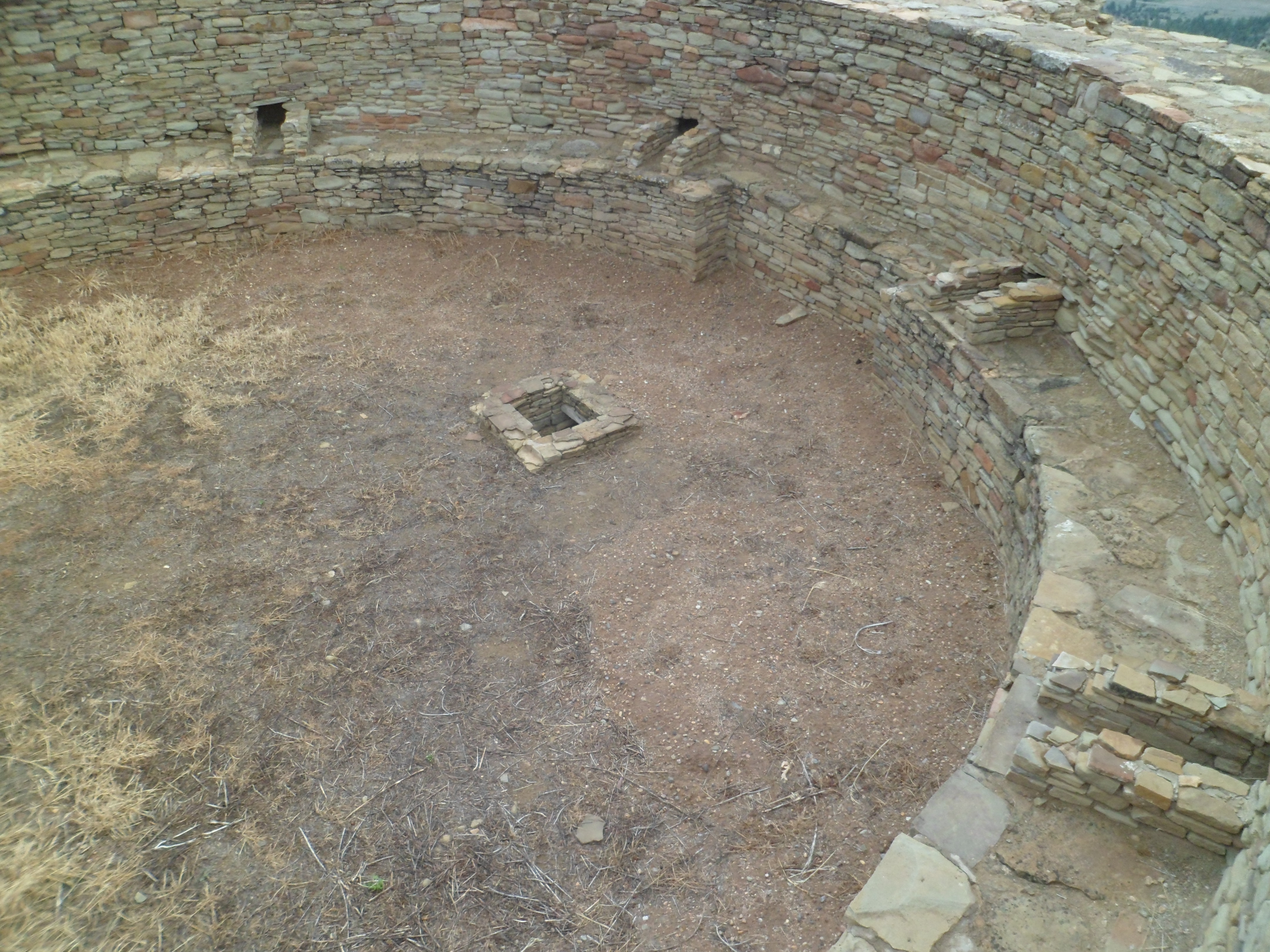
Now, we are at the major set of structures, including the kivas and larger dwellings.

SAM_6260

This limestone bench made for a good resting place, for some of the disabled members of our tour group.

SAM_6270
SAM_6273

This alcove, on the south side of the Great House, was intended to provide support for the structure.

SAM_6278
SAM_6281

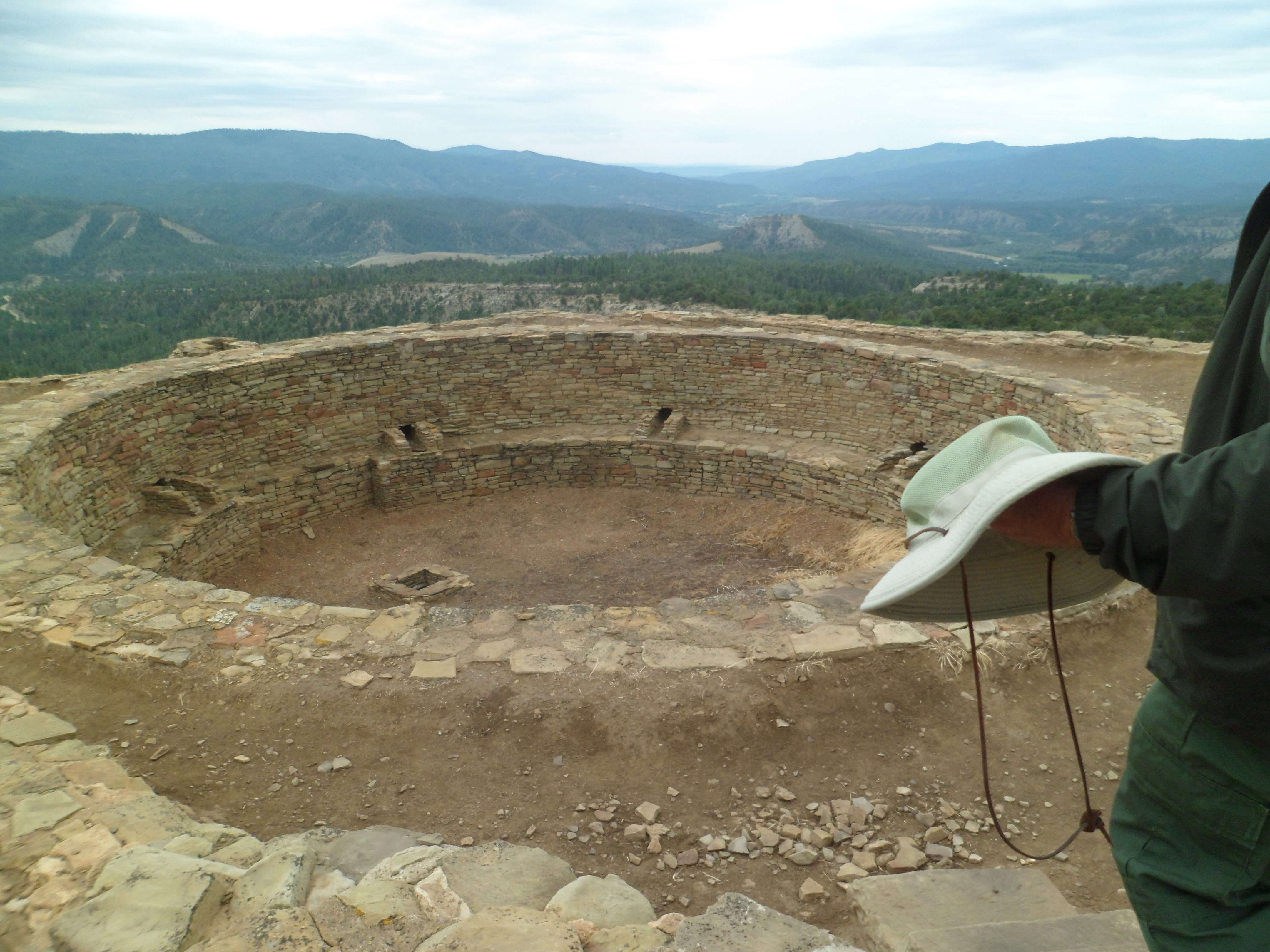
Here are some shots of the Grand Kiva, the major ceremonial site in the complex.

SAM_6282
SAM_6283
SAM_6285

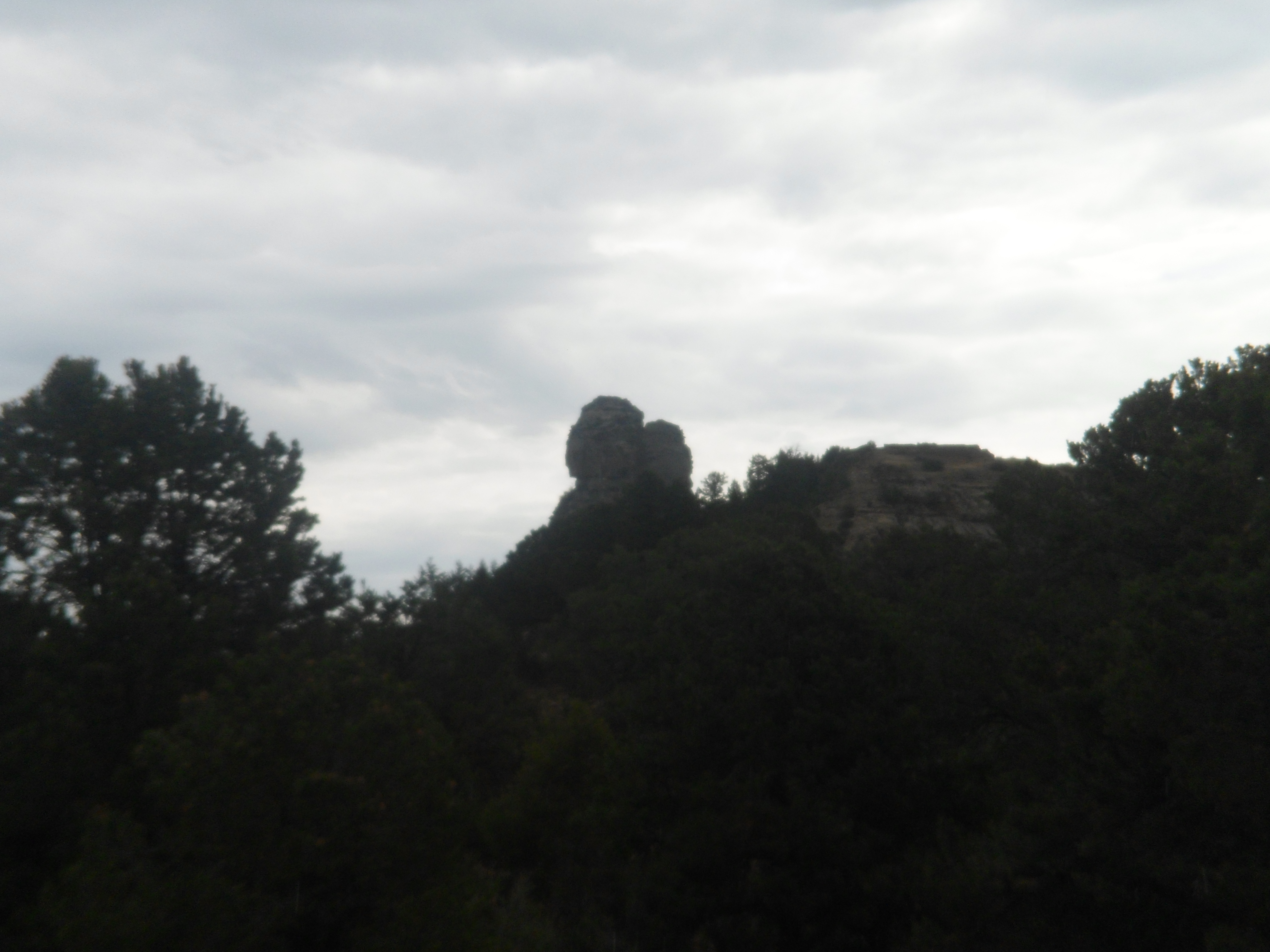
These granite formations are among those which give Chimney Rock its name.

SAM_6288

Once I had finished here, one more goal remained on this spiritual journey:  Wetherill Mesa.

From Home to Home, and Back, Day 13: Gloucester, Part 2- Stacy Esplanade and Stage Fort Park

6

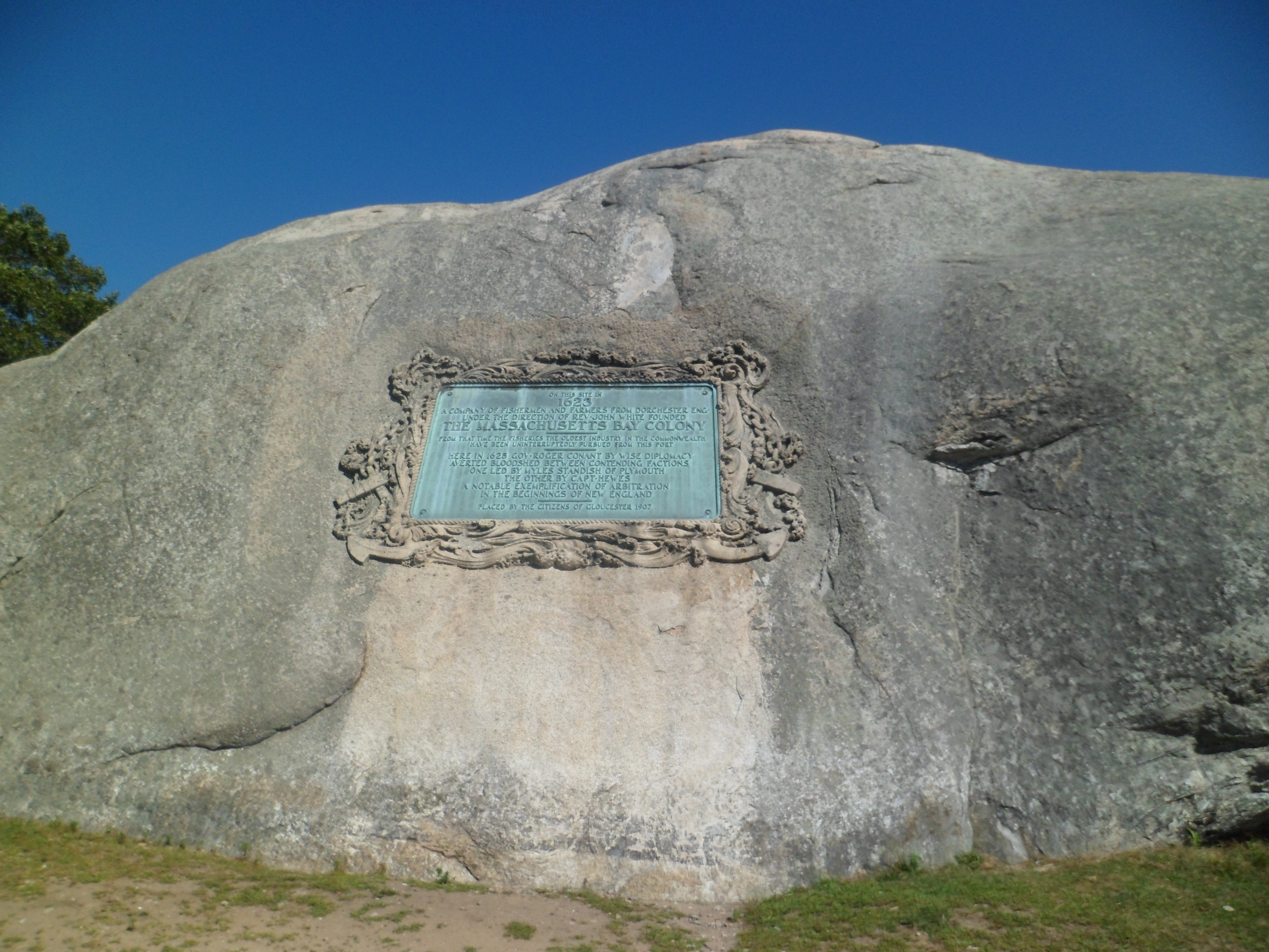
Gloucester is a walking town, though if it hadn’t been, I’d have made it so.  As it is, Stacey Promenade, named for a local hero, guides one along the harbor beach.  South of the beach, Stage Fort Park has trails that wind around, the cliffs above Gloucester Harbor.

Here we go- scenes from the afternoon of September 4.

Meet Gloucester Harbor.

SAM_6742
SAM_6743

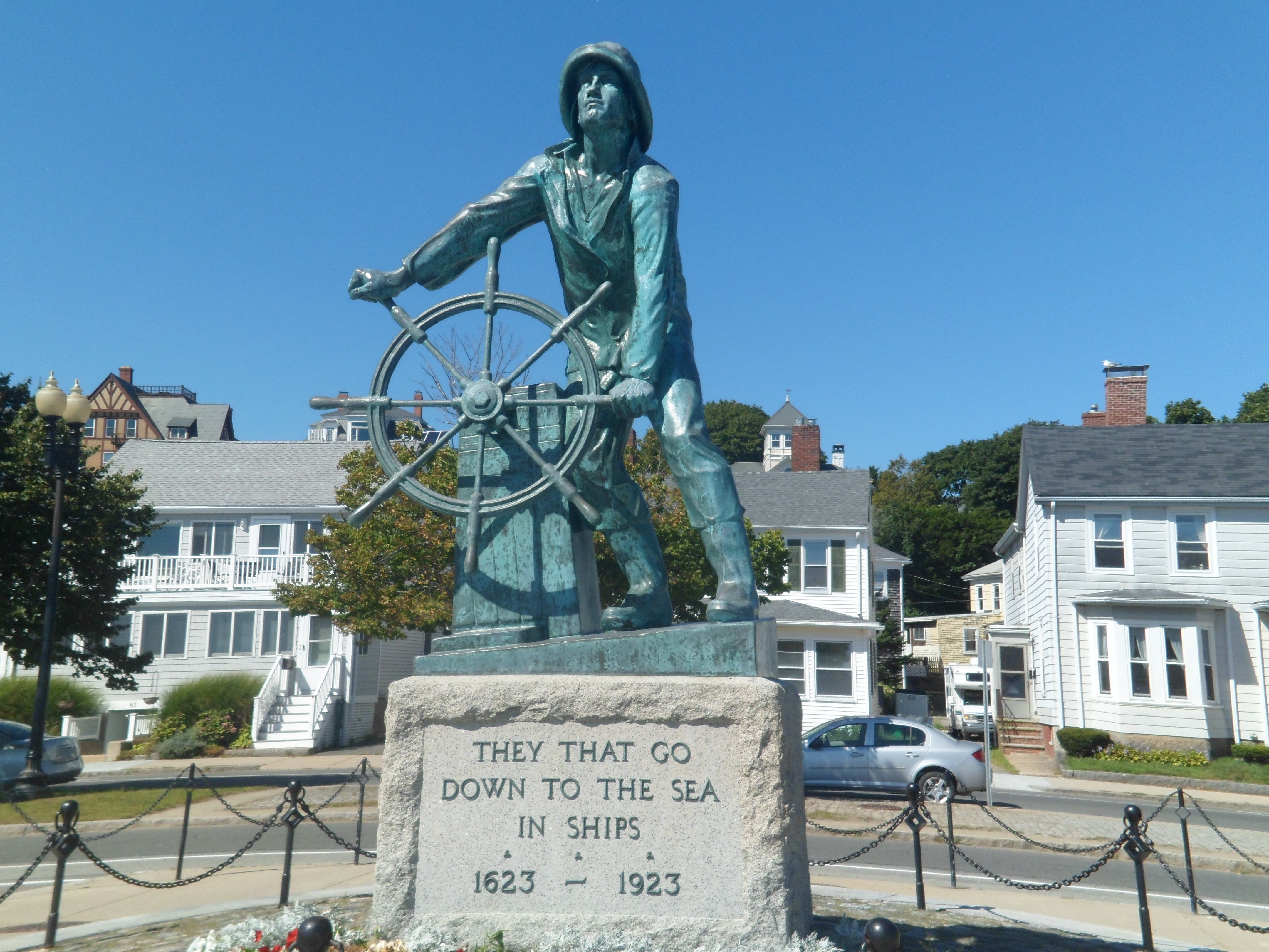
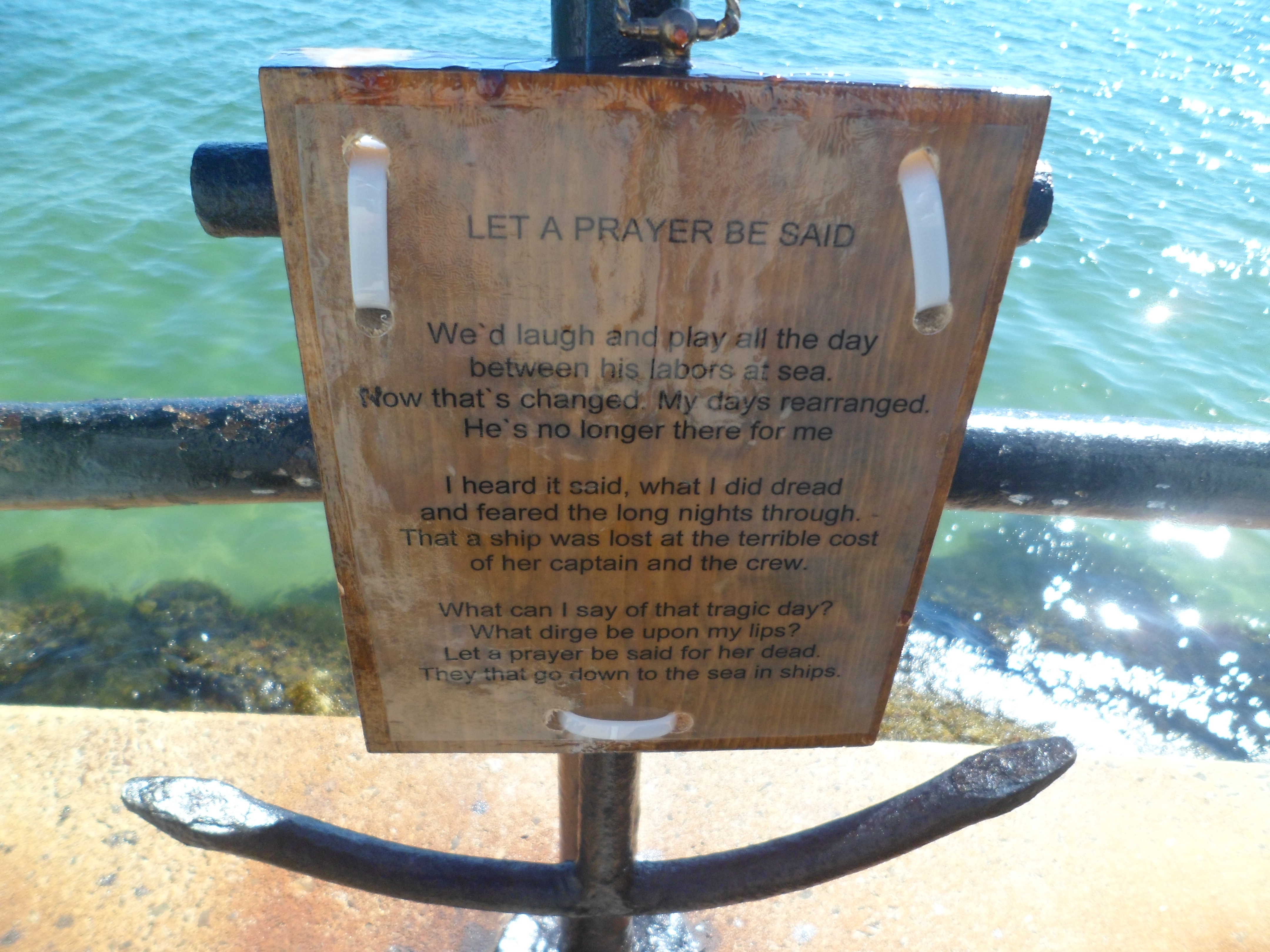
There are two stand-out statues along Stacy Esplanade.  The first is the Fishermen’s Memorial.

SAM_6745
SAM_6746

A shoutout is here, to George O. Stacy, for whom the Esplanade is named.

SAM_6747

The second important statue commemorates the wives of fishermen.

SAM_6749

Once the Esplanade ends, Lucy Brown Trail begins, and takes one into Stage Fort Park.

SAM_6751

This remarkable cliffside path reminds me of Golden Gate Park, in San Francisco.

SAM_6752

These cannonades are reminders of the War of 1812.

SAM_6754

One may sit for hours here, and contemplate the sea.

SAM_6755

Along any beach in New England, there are small forested islets.

SAM_6757

Looking across Gloucester harbor, one sees abandoned factory buildings, where fish used to be processed.

SAM_6758

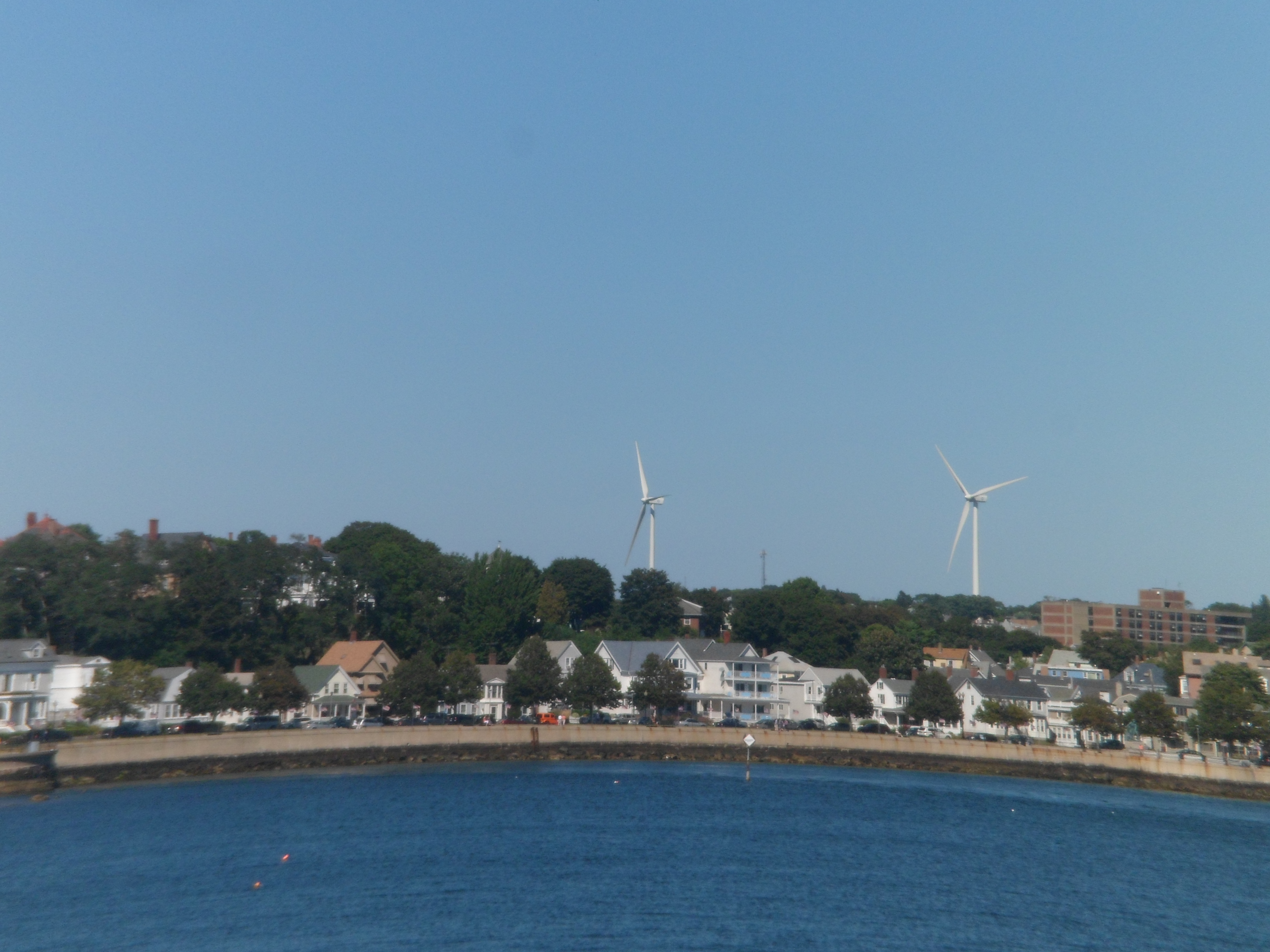
Wind power is a growing focus, along the coast.

SAM_6759

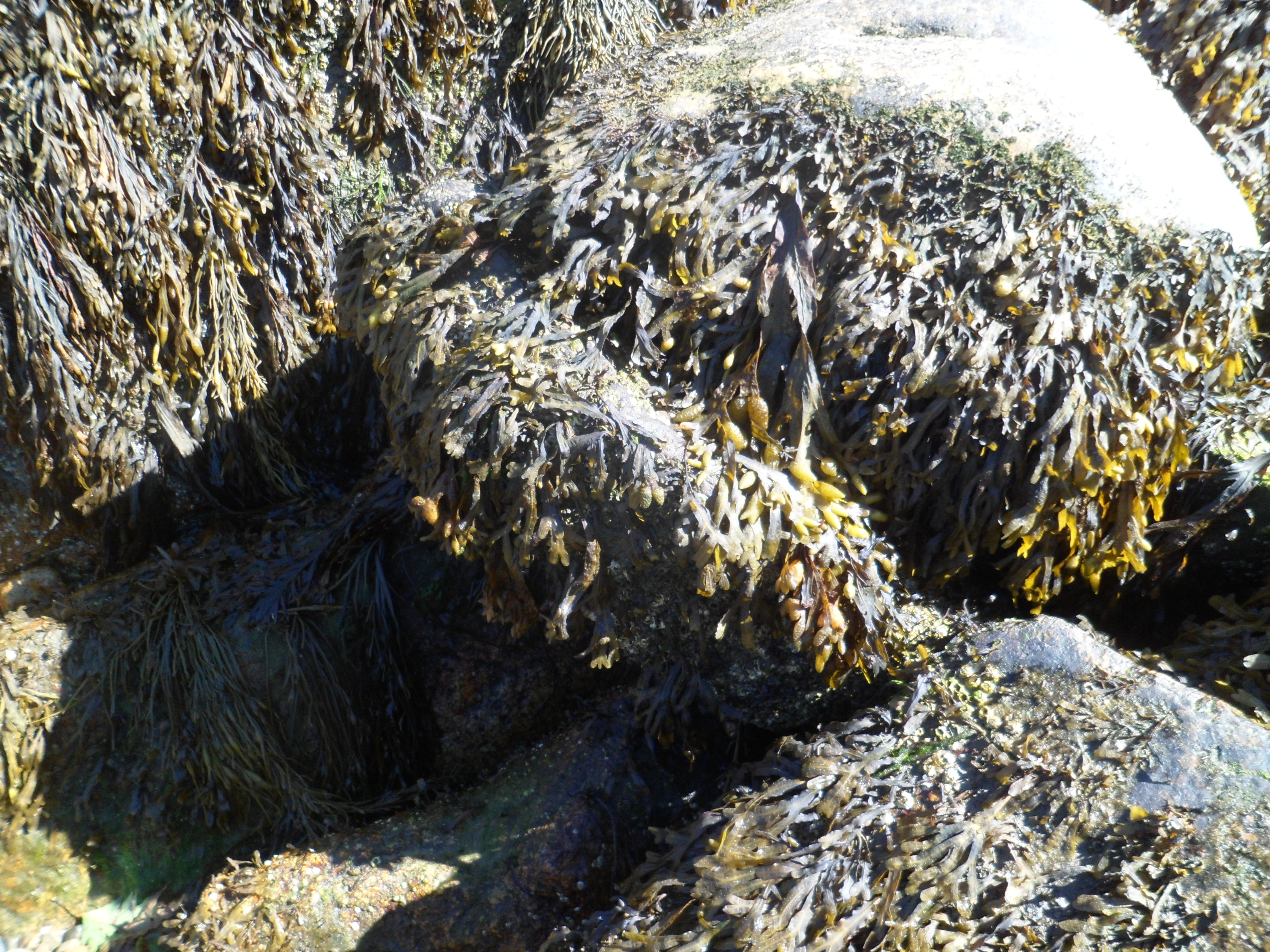
Kelp is a major product of the northeast coast.  Altogether now, “EEEWWW”! 😛  Seriously, tough, this product is great for pregnant women, seeking to keep their iron intake up.

SAM_6760

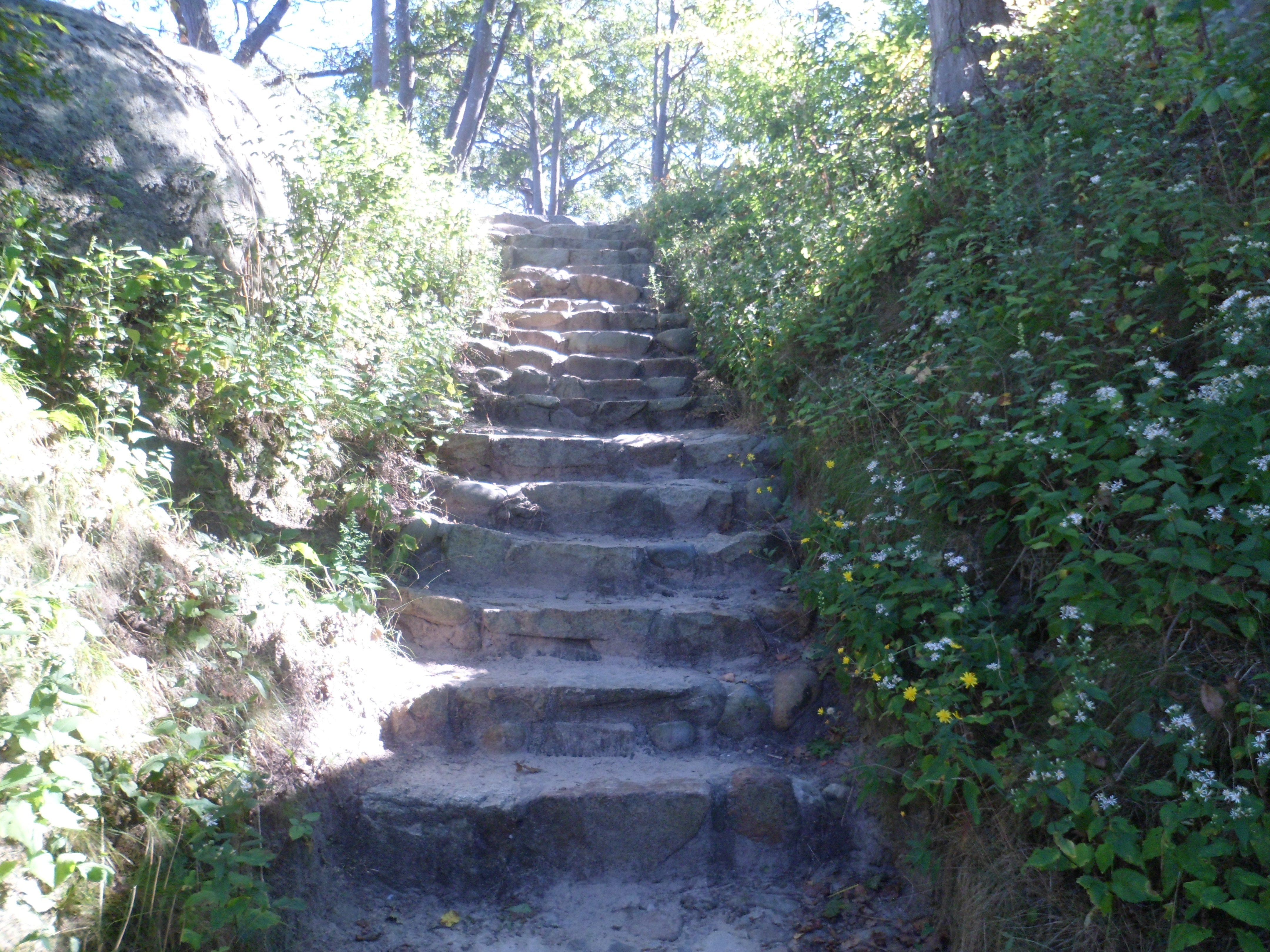
There are stairs aplenty, for those needing aerobic exercise.

SAM_6762

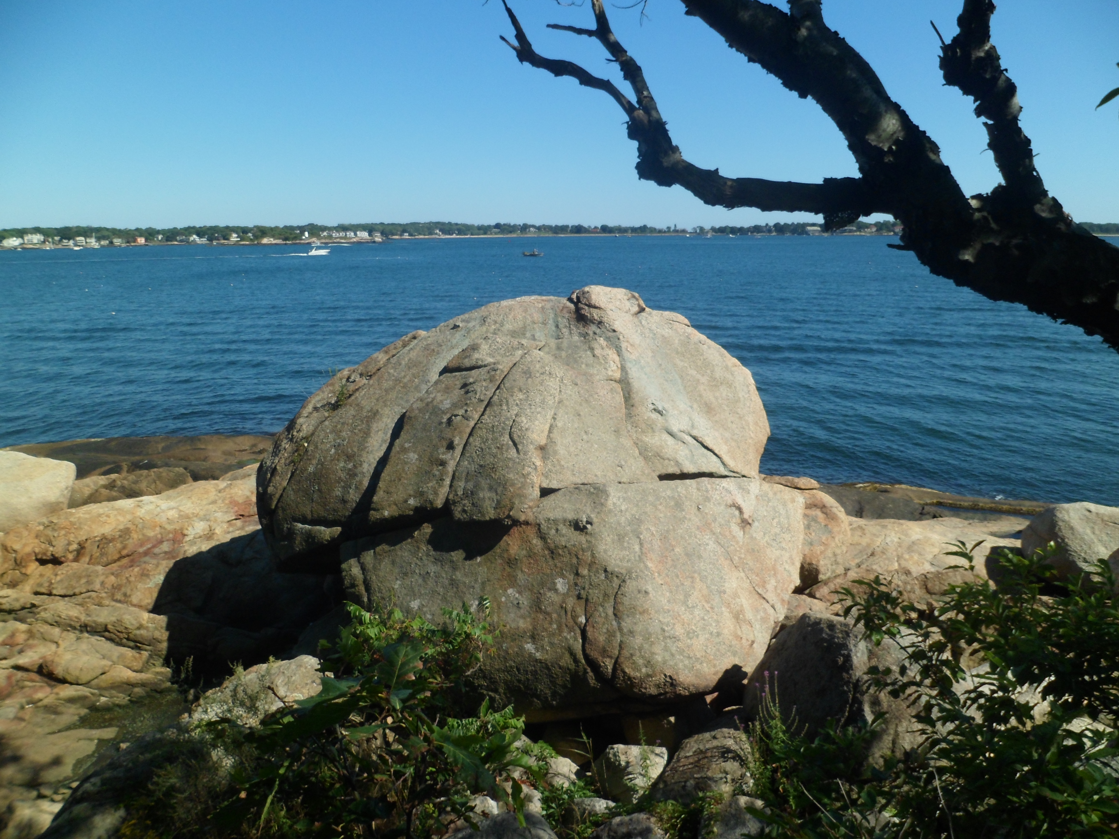
Octopus Head Rock sits atop an eastern cliff in Stage Fort.

SAM_6764

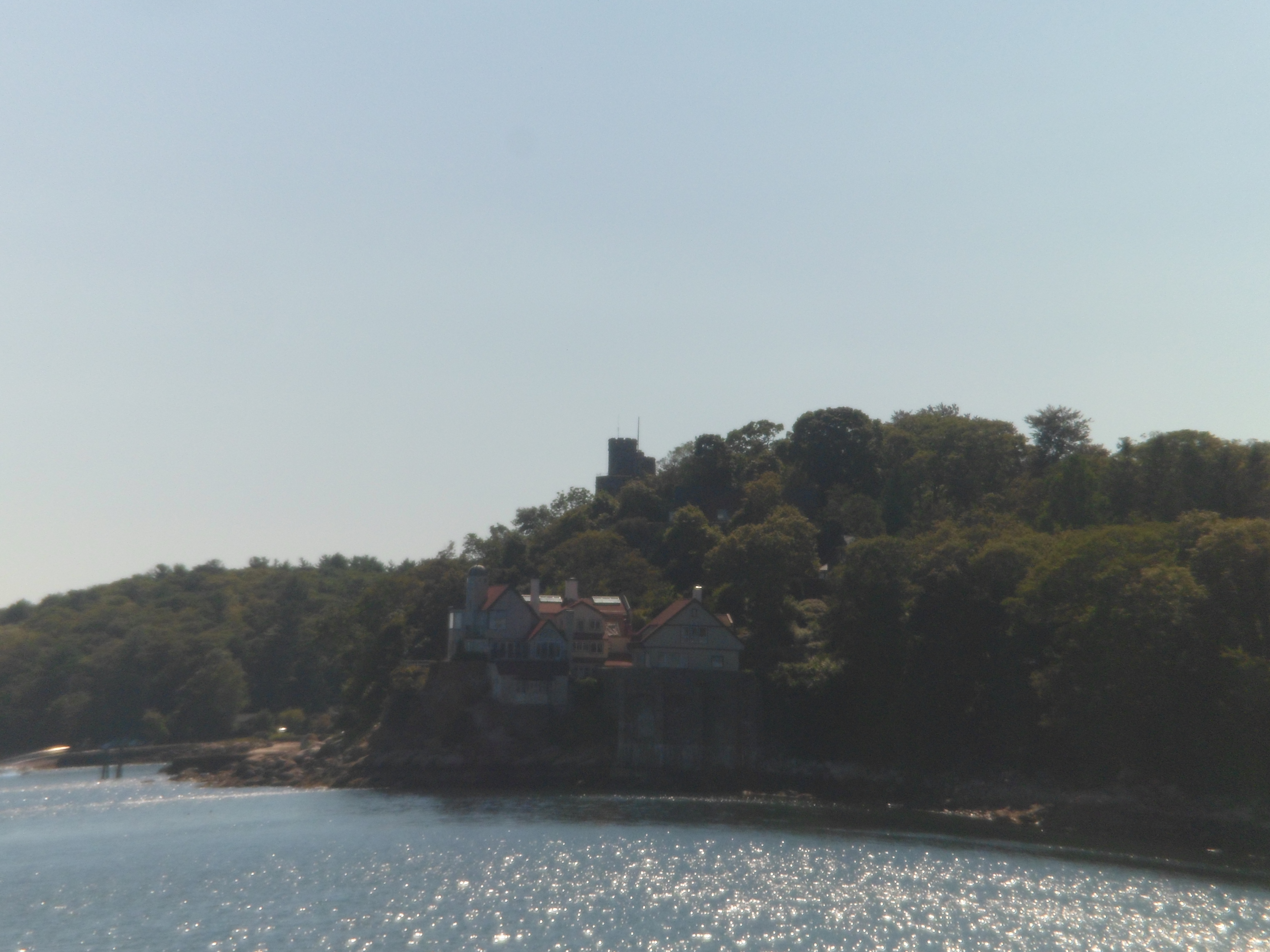
I spotted the turret of Hammond Castle, across the way, on the far south side of Gloucester.

SAM_6766

Atop Stage Fort Park, the Girls’ Track Team, from Gloucester High School, was having a practice.  Since I don’t photograph other people’s children, without their parents’ permission, my focus went to reminders of Gloucester’s place in Colonial America.

SAM_6767
SAM_6769

Gloucester, like most small towns, has a gazebo in its main park.

SAM_6768

Finally, Stage Fort Park’s southwest corner has a statue of Triton, mythical son of Poseidon.

SAM_6771

Next;  Gloucester, Part 3, the Interior of Downtown and the North Side.

Above The Seven Falls of Colorado Springs

8

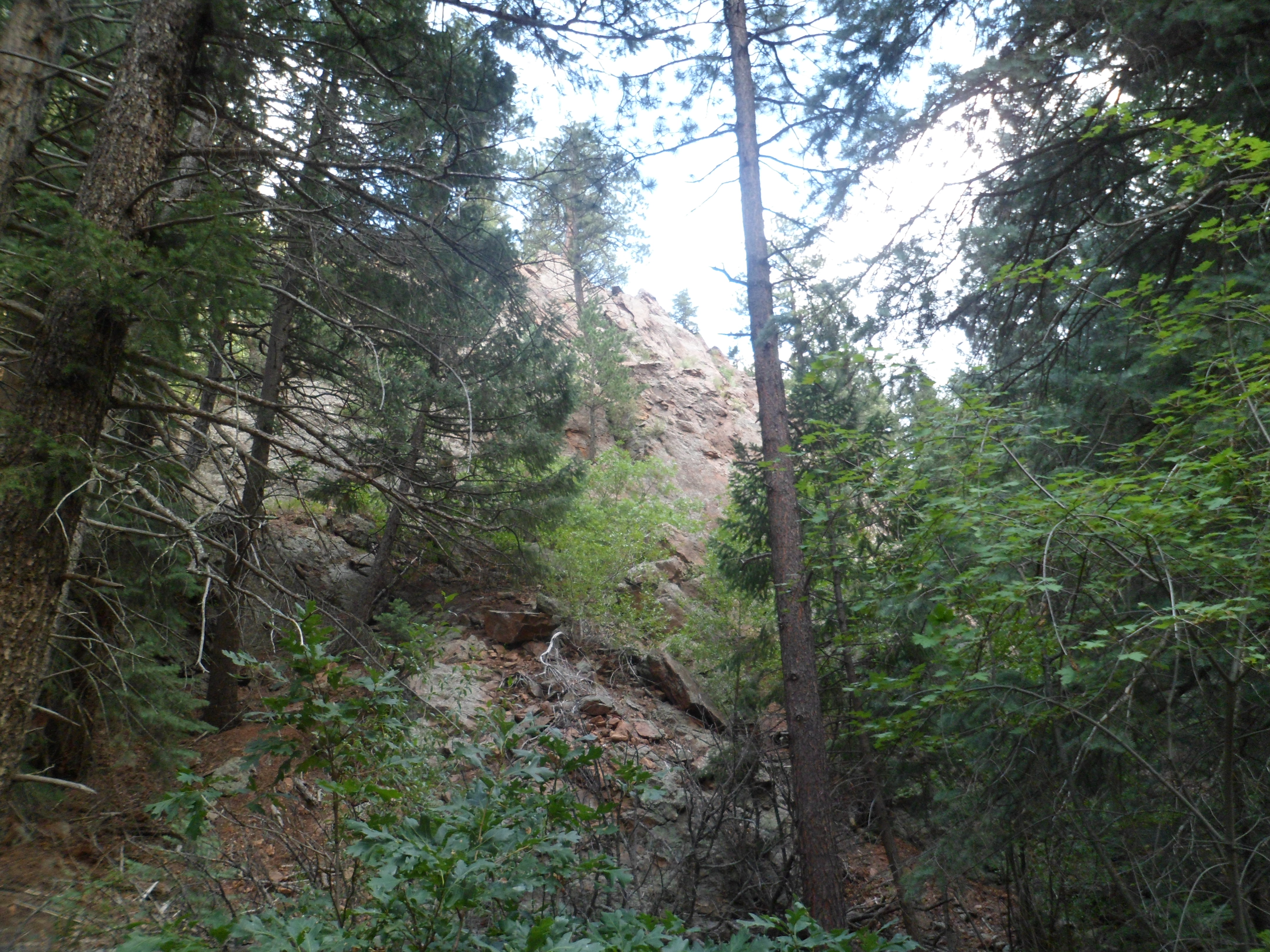
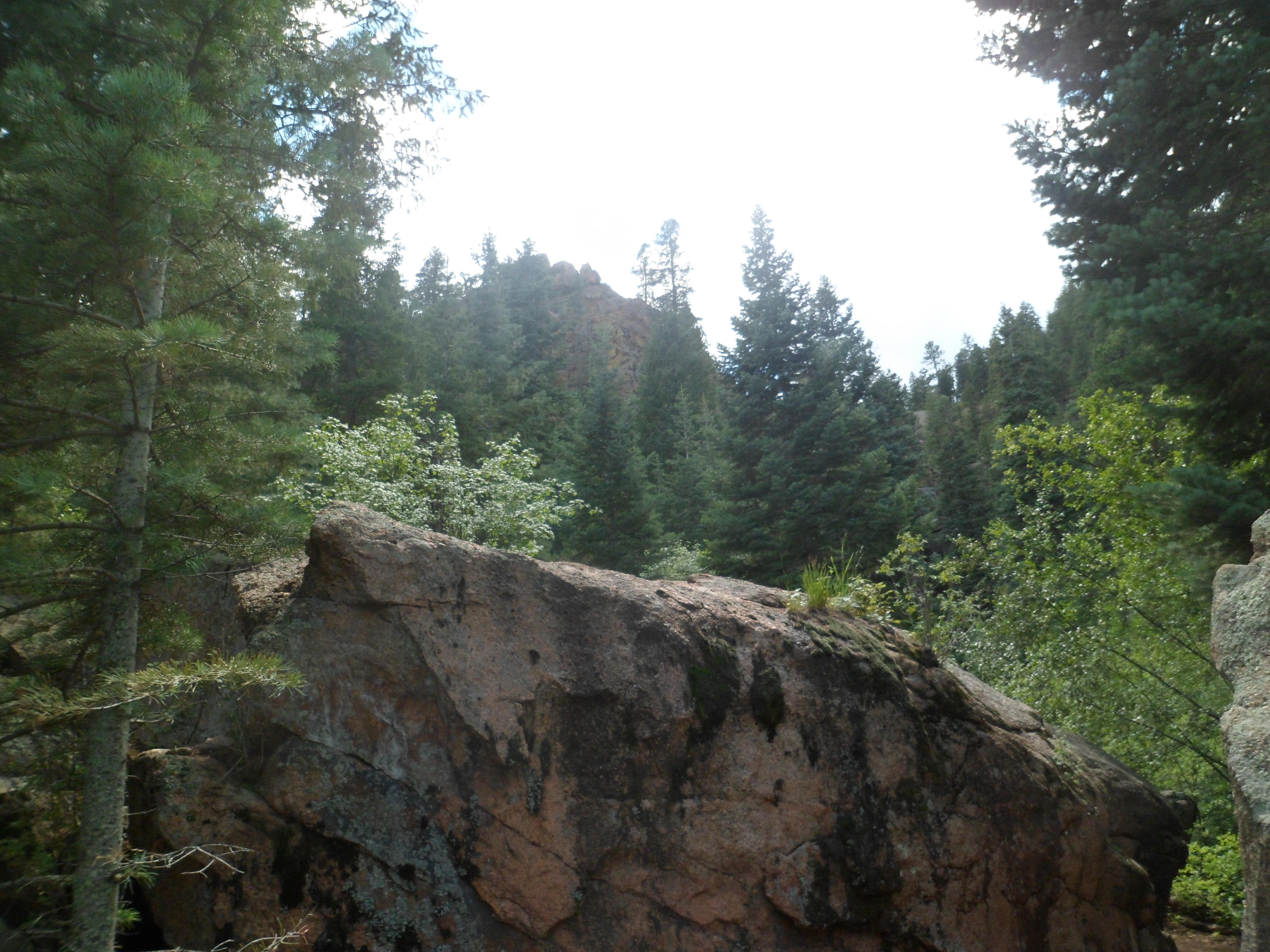
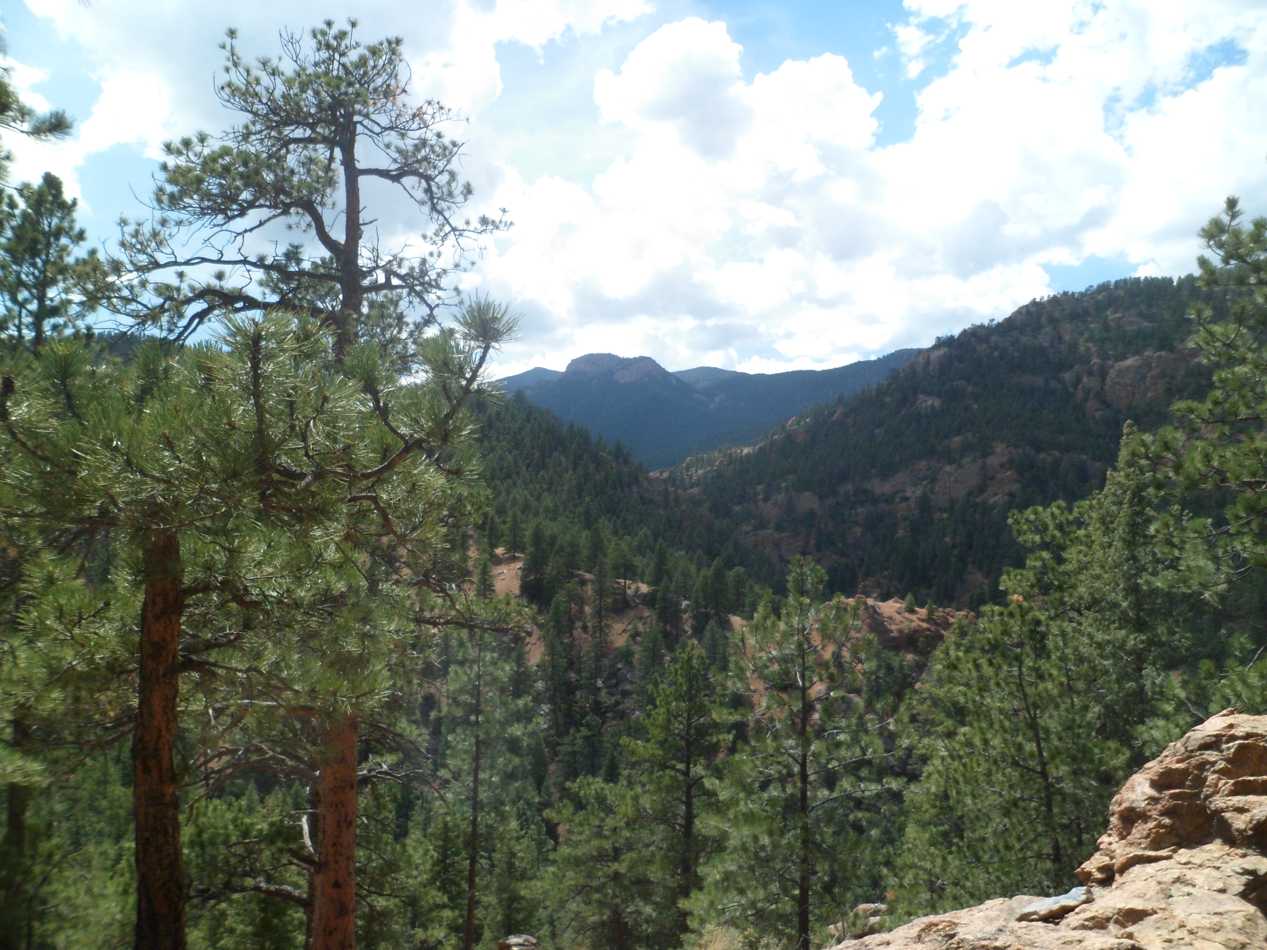
I had one more self-made task in Colorado Springs, on July 31.  The course of Cheyenne Creek, above Seven Falls, is itself an interesting region, with breathtaking views of the city below, and of Garden of the Gods, on a great day.
Here is what I saw, above the Falls.

SAM_6220
SAM_6222
SAM_6225
SAM_6226

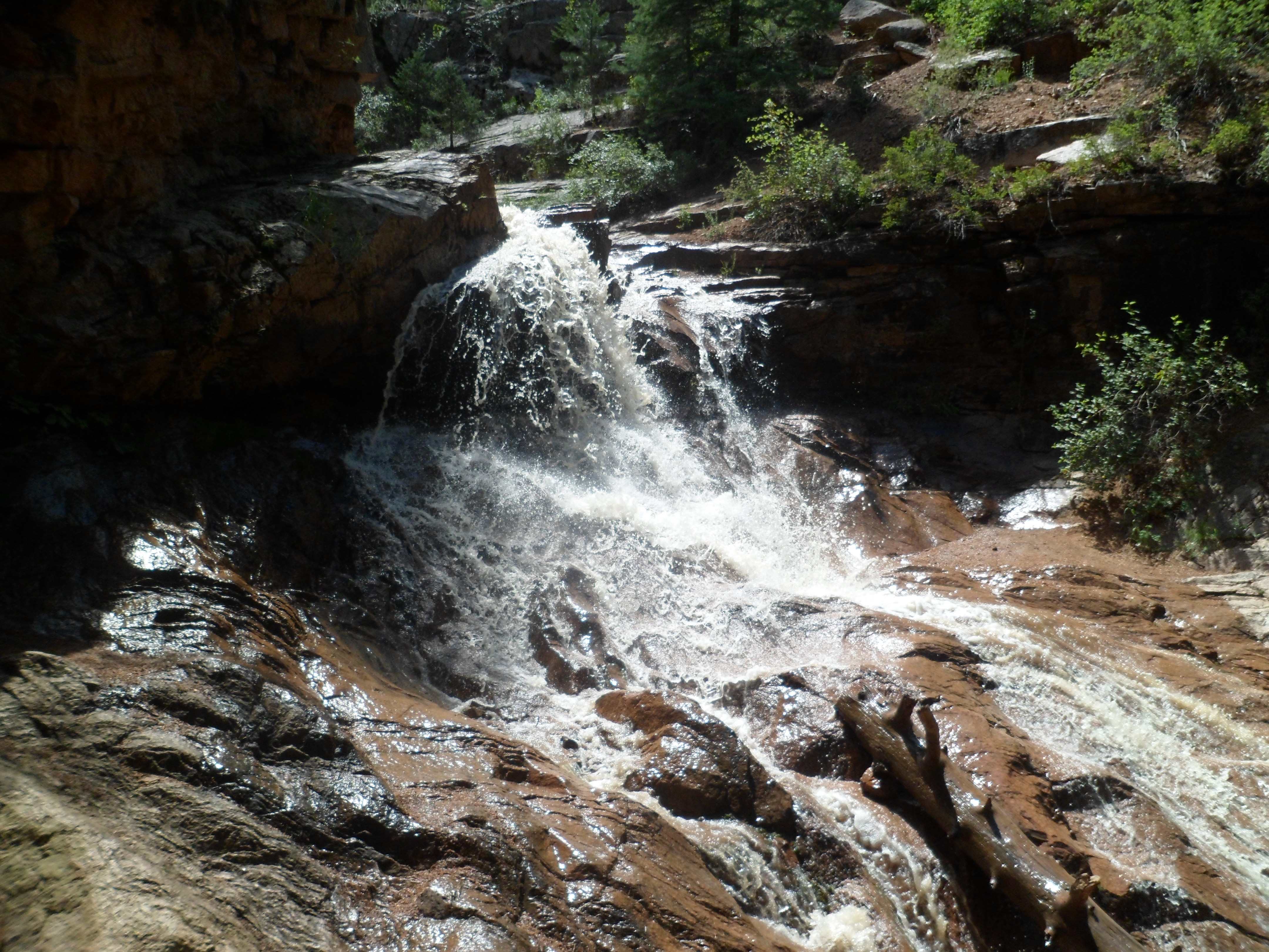
There is a Hidden Falls, above the seven.

SAM_6228

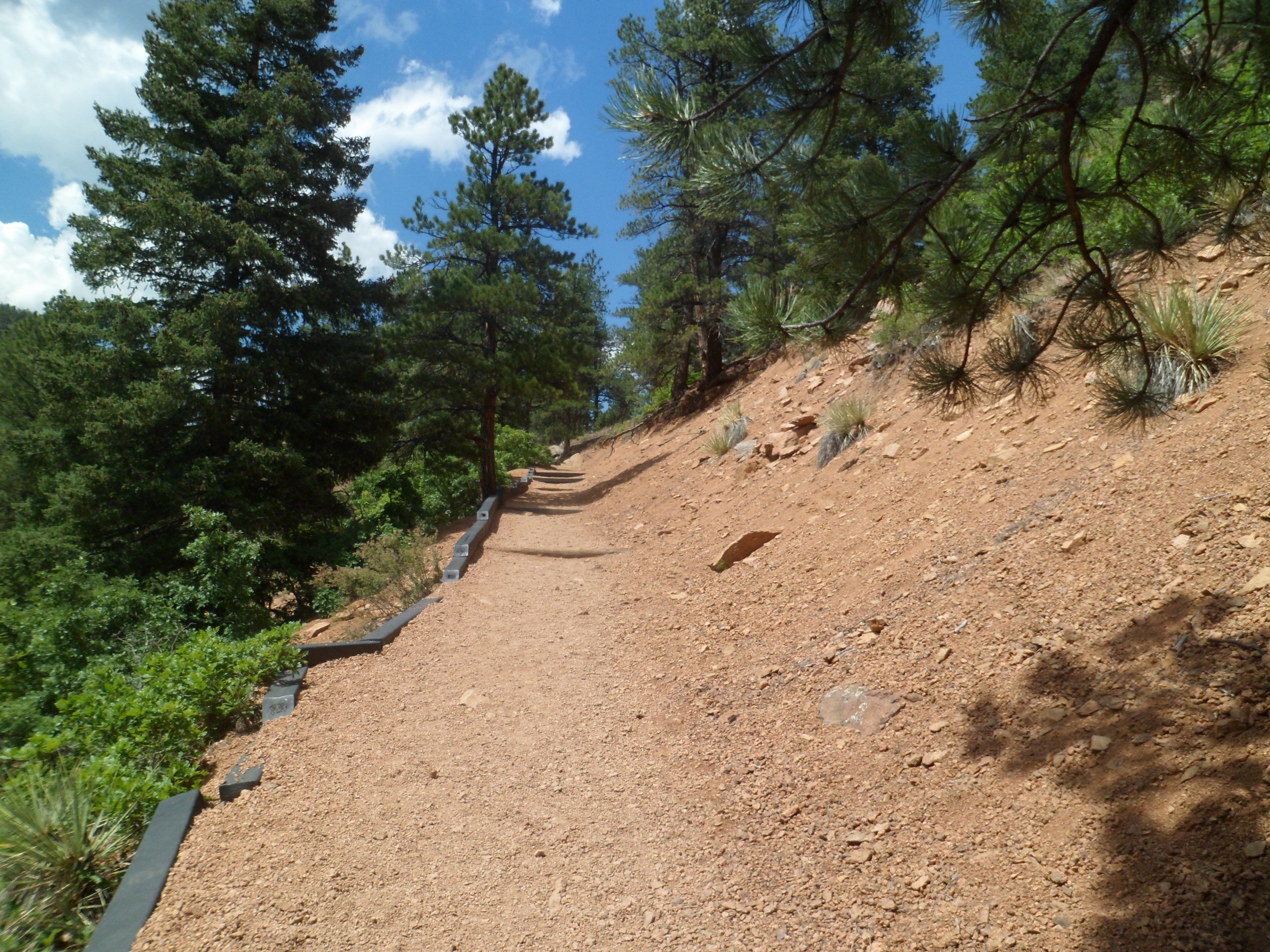
After that, the trail gets serious,j just for a bit.

SAM_6230

Pikes Peak lurks in the background- always the 800- pound gorilla.

SAM_6232

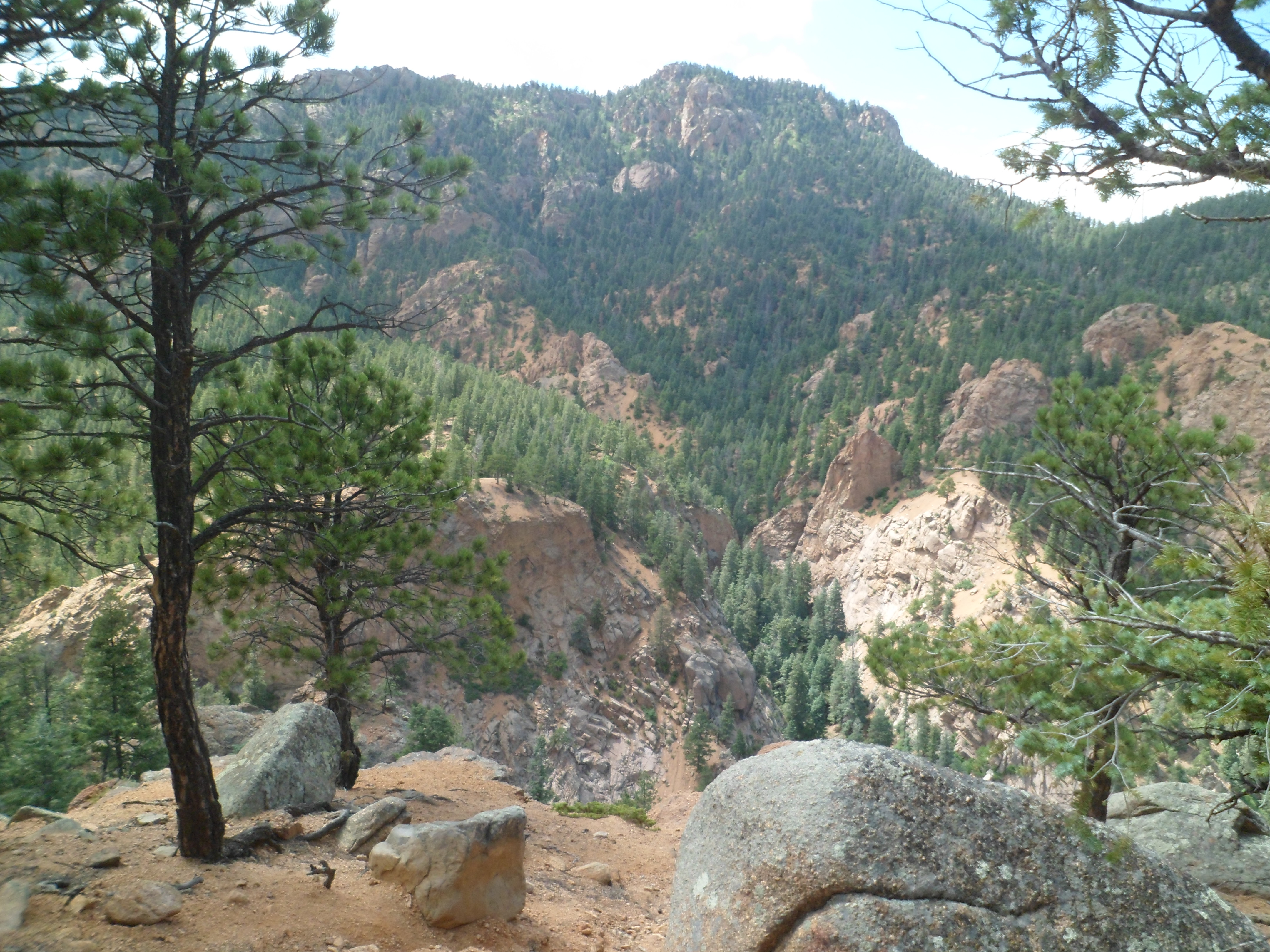
There are also impressive peaks, nearby.

SAM_6233

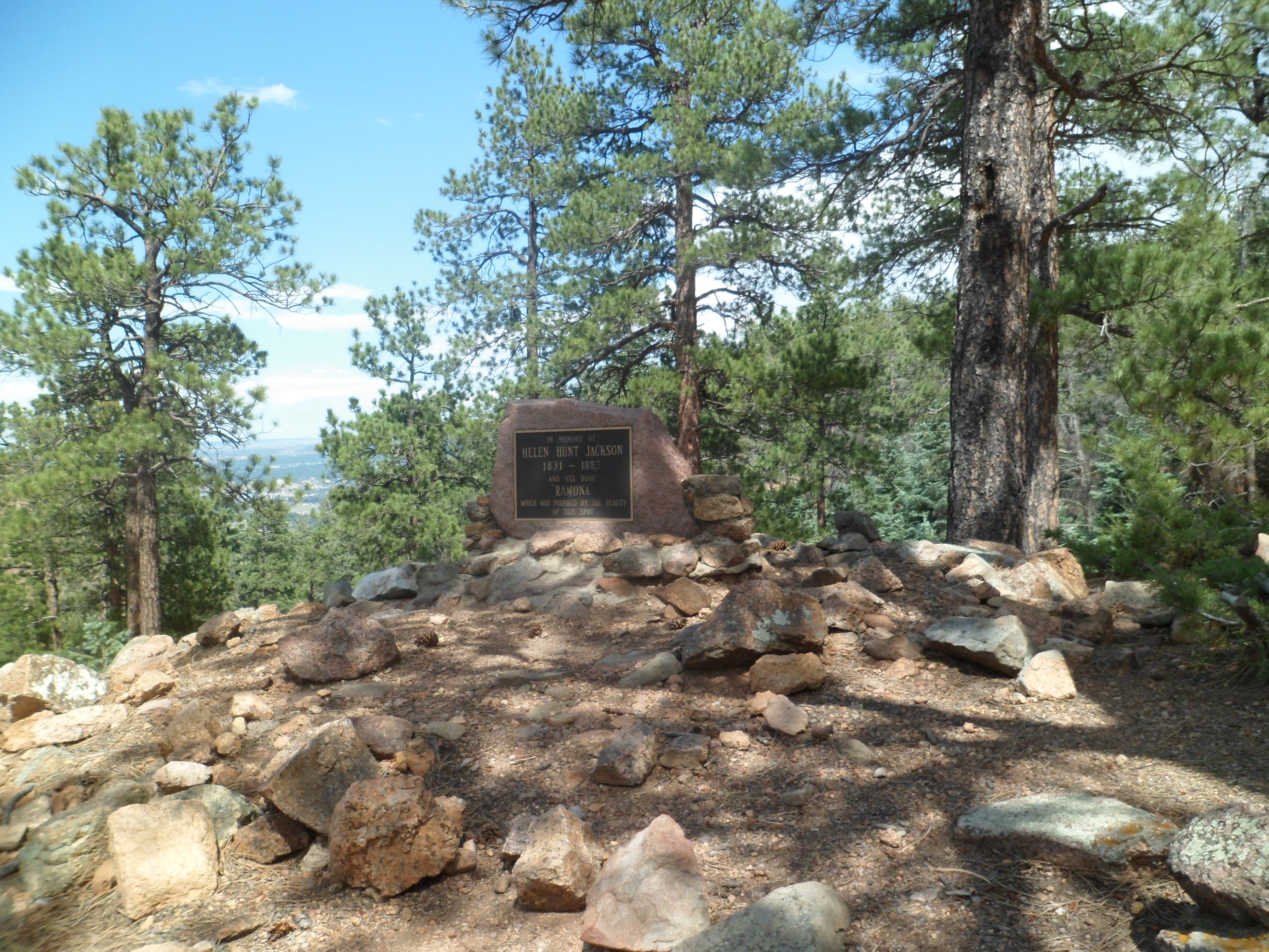
Helen Hunt Jackson, whose tomb is there, was one of the driving forces behind conservation of this area.
SAM_6236

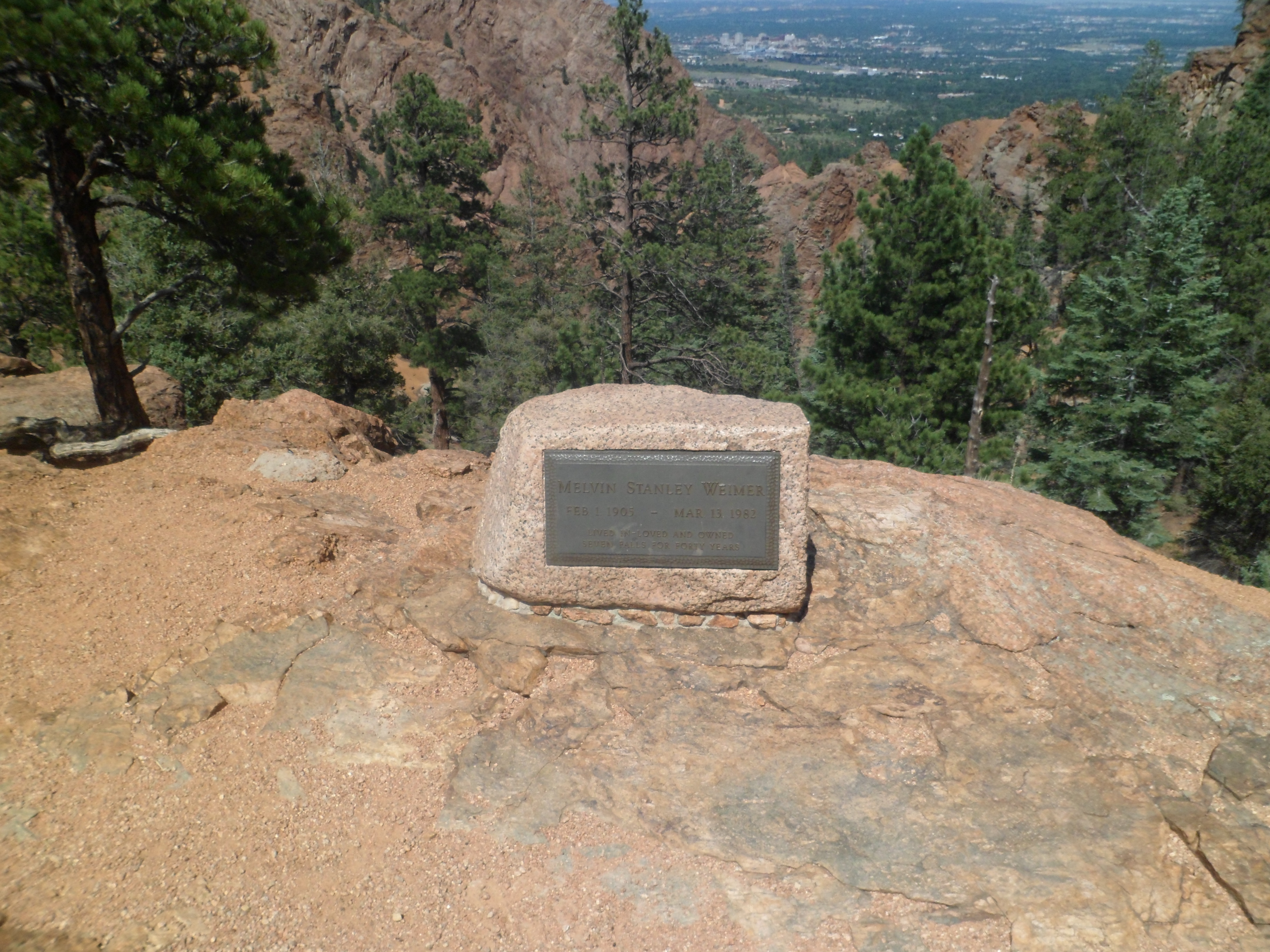
The same could be said of Melvin Weimer.

SAM_6237

They oversee the promised views.

SAM_6238
SAM_6241

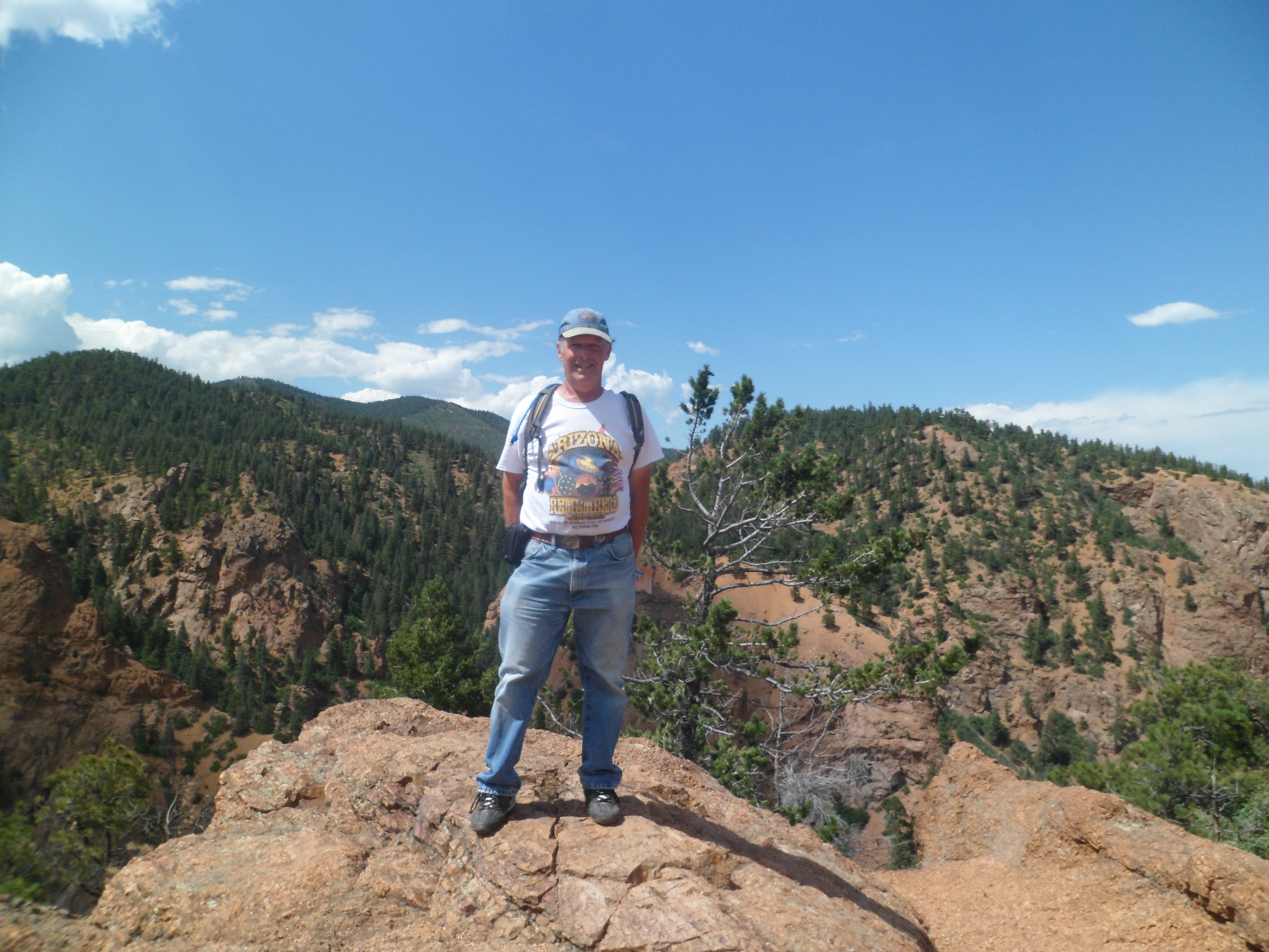
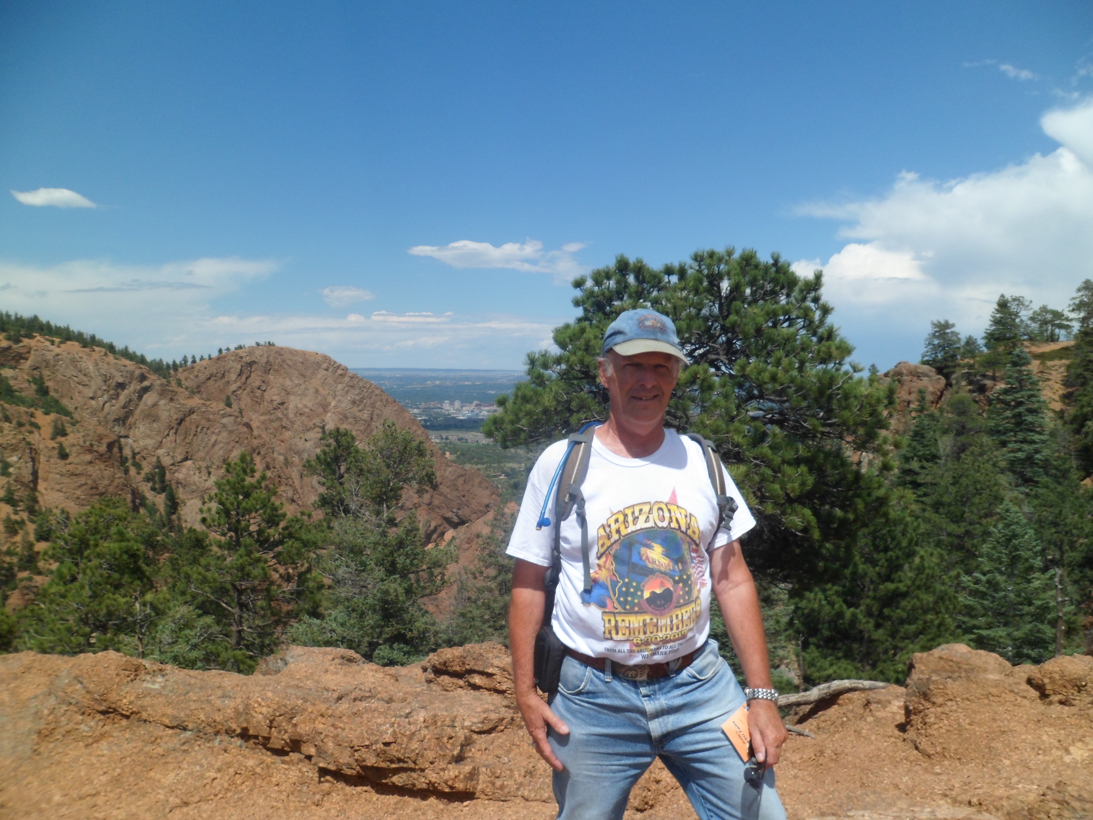
That is, until Mayhem, like me, gets in the way.

SAM_6242
SAM_6243

I didn’t need it that day, but there is an elevator, to and from the parking lot, to the mid-point of the Falls.

SAM_6245

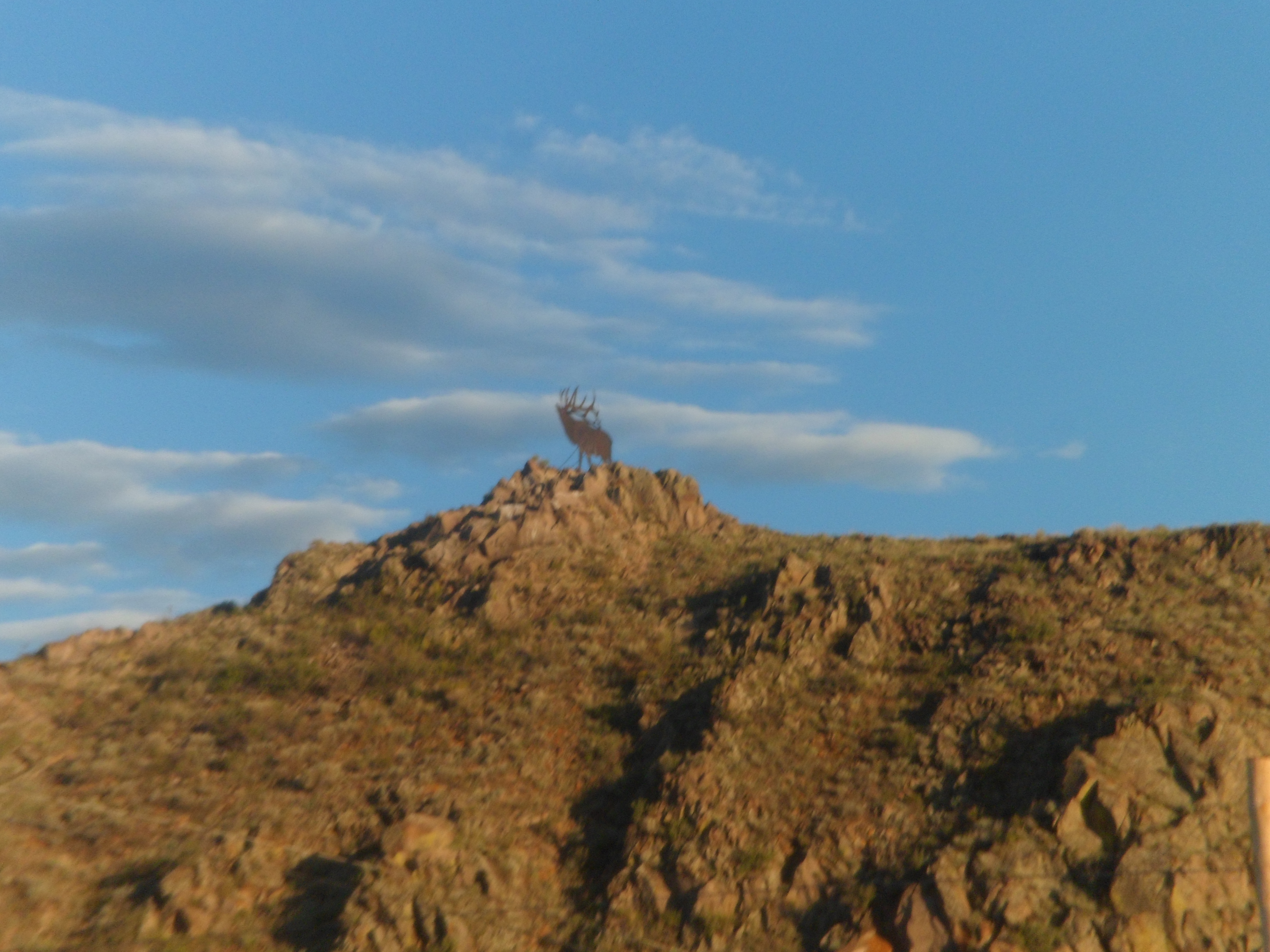
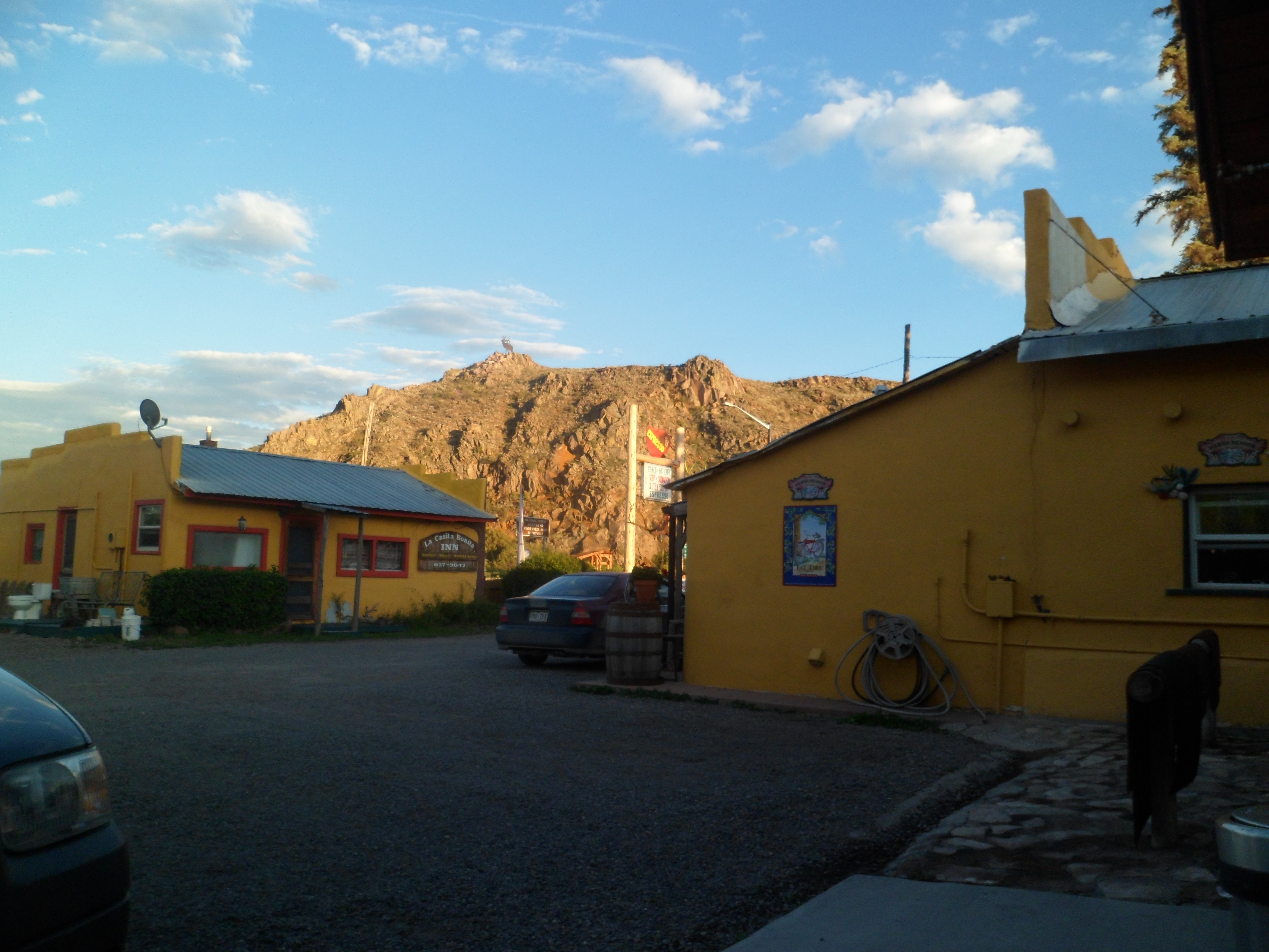
A couple of postscripts to this paean to Seven Falls.  On my way down to the Four Corners, I caught these scenes in Del Norte, one of my favourite SoCo towns.

SAM_6248

One of these days, I am going to stay at La Casa Bonita.  The plumbing was sitting outside the cabin, on that last night in July.  It was all good, though, since I got to sleep under the stars.

SAM_6249

Next:; Chimney Rock

Colorado Springs’ Seven Falls

11

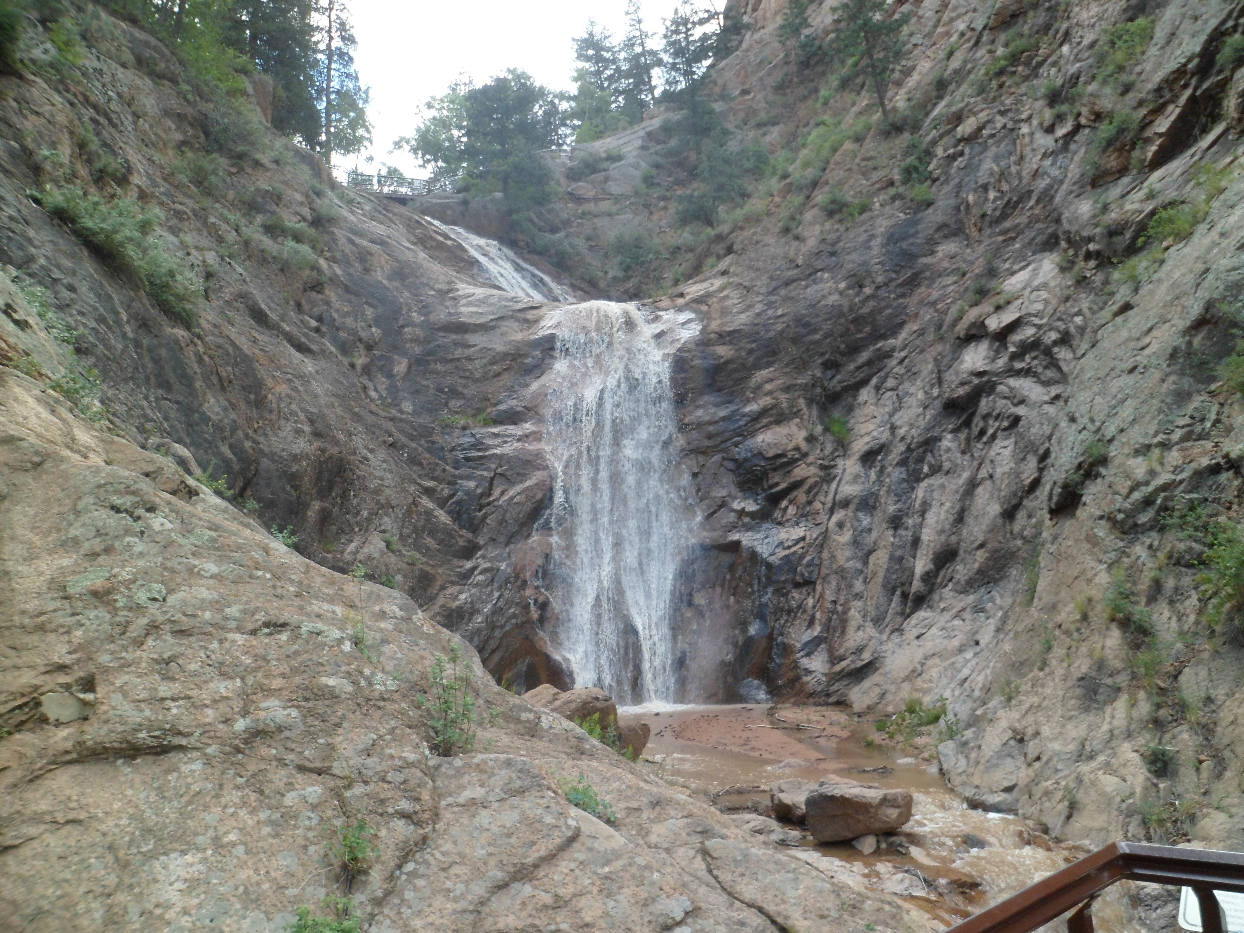
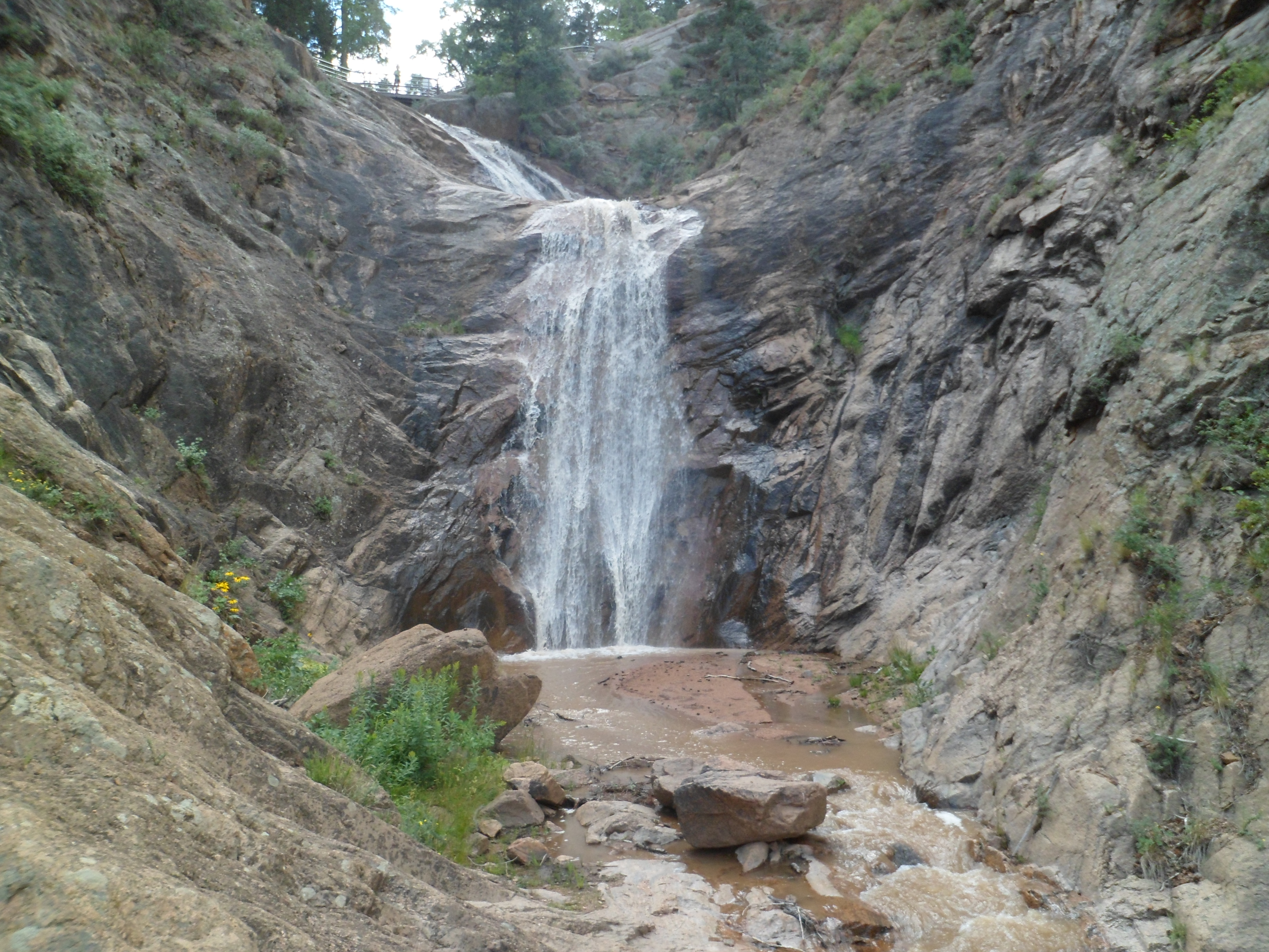
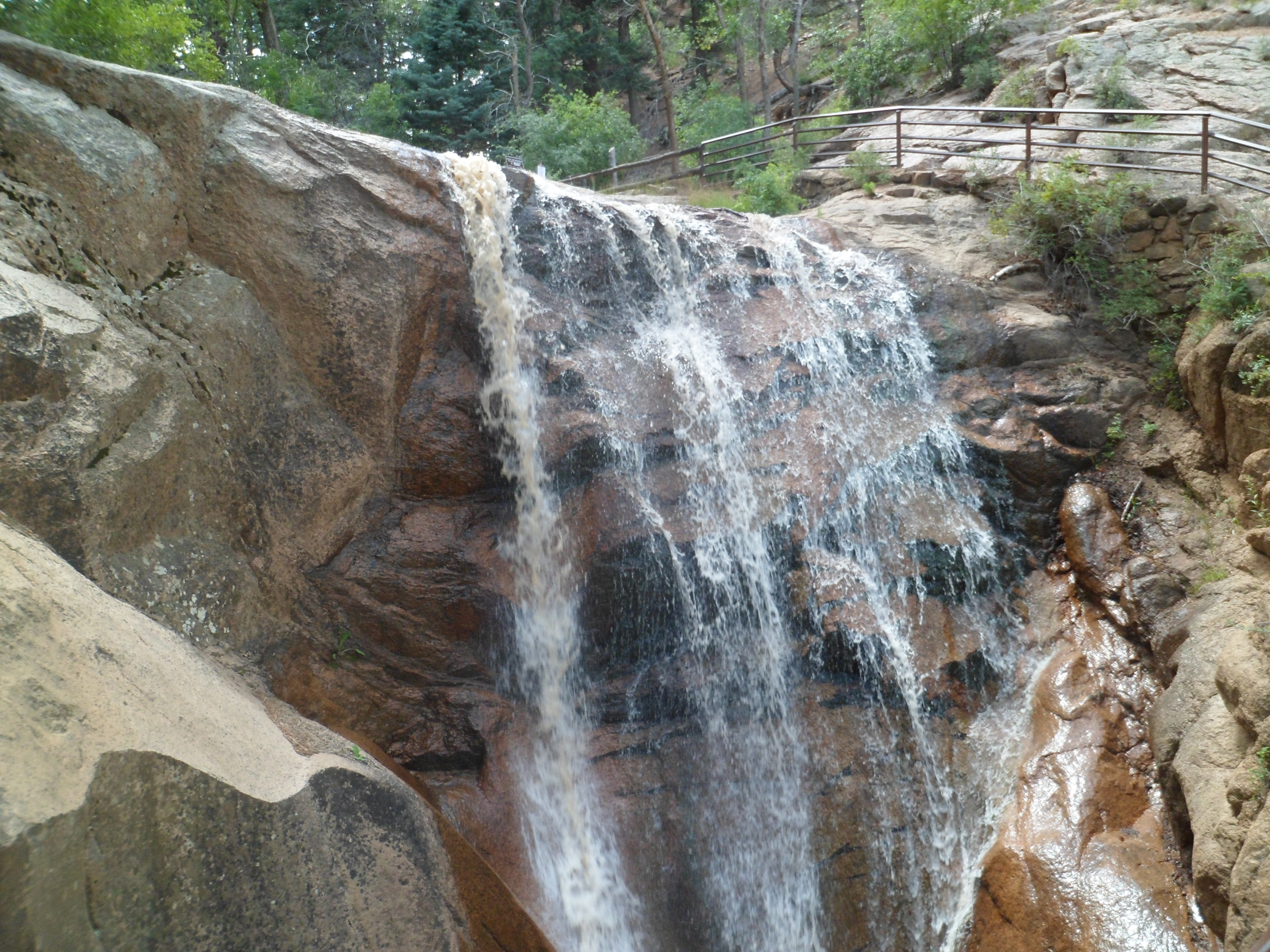
Arizonans are justifiably proud of their Seven Falls, east of Tucson.  Coloradans are, with equal justification, proud of THEIR Seven Falls, south of Colorado Springs.   http://www.colorado-hiking-vacations.com lists the falls, like so:

“Seven Falls is made up of seven separate waterfalls which each have their own name.

1) Ramona Falls-this one is named after Helen Hunt Jackson’s book “Ramona”.

2) Feather Falls-this one is named for the way it looks.

3) Bridal Veil Falls-yes, because it looks like a bridal veil.

4) Shorty Falls-you guessed it: because of its short drop.

5) Hull Falls-this one is named after the 1880s owner of the falls.

6) Weimer Falls-Weimer was the name of the second owner of Seven Falls.

7) Hill Falls-and last but not least, Hill is the name of the current owners of this seven tiered waterfall.”

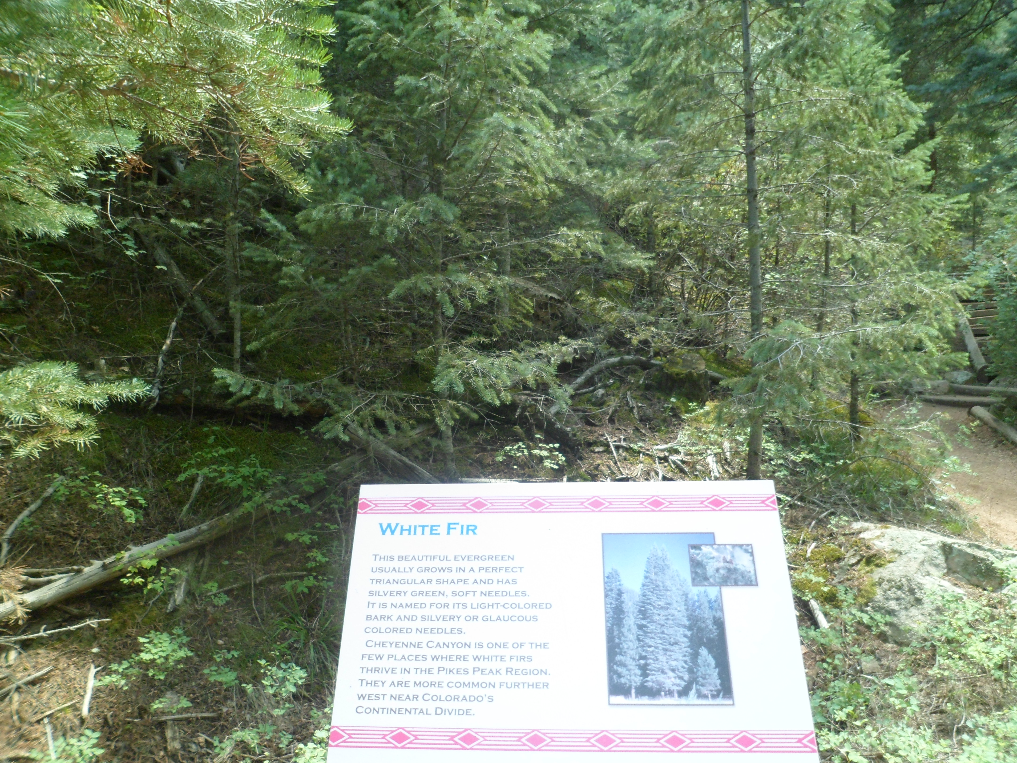
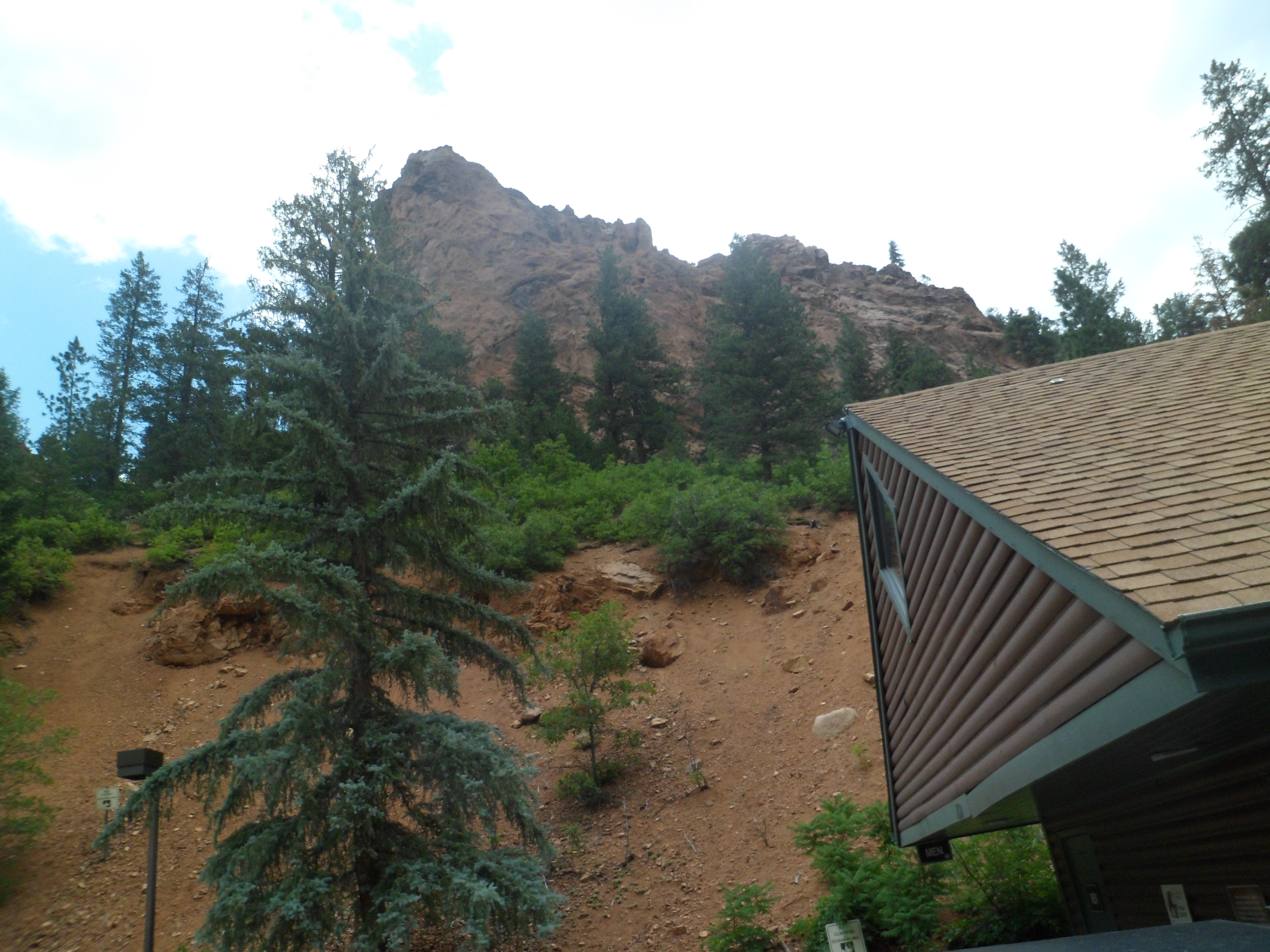
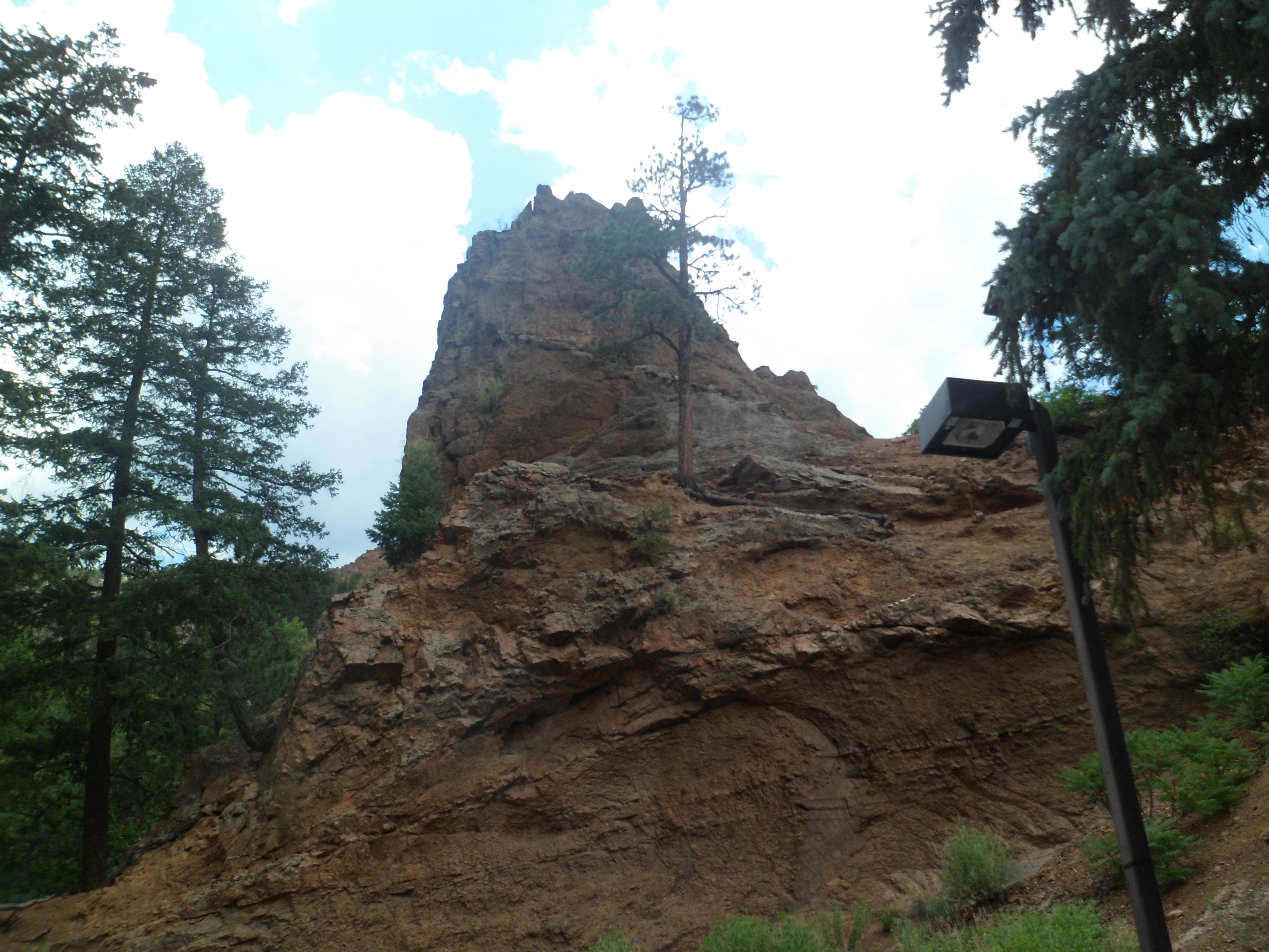
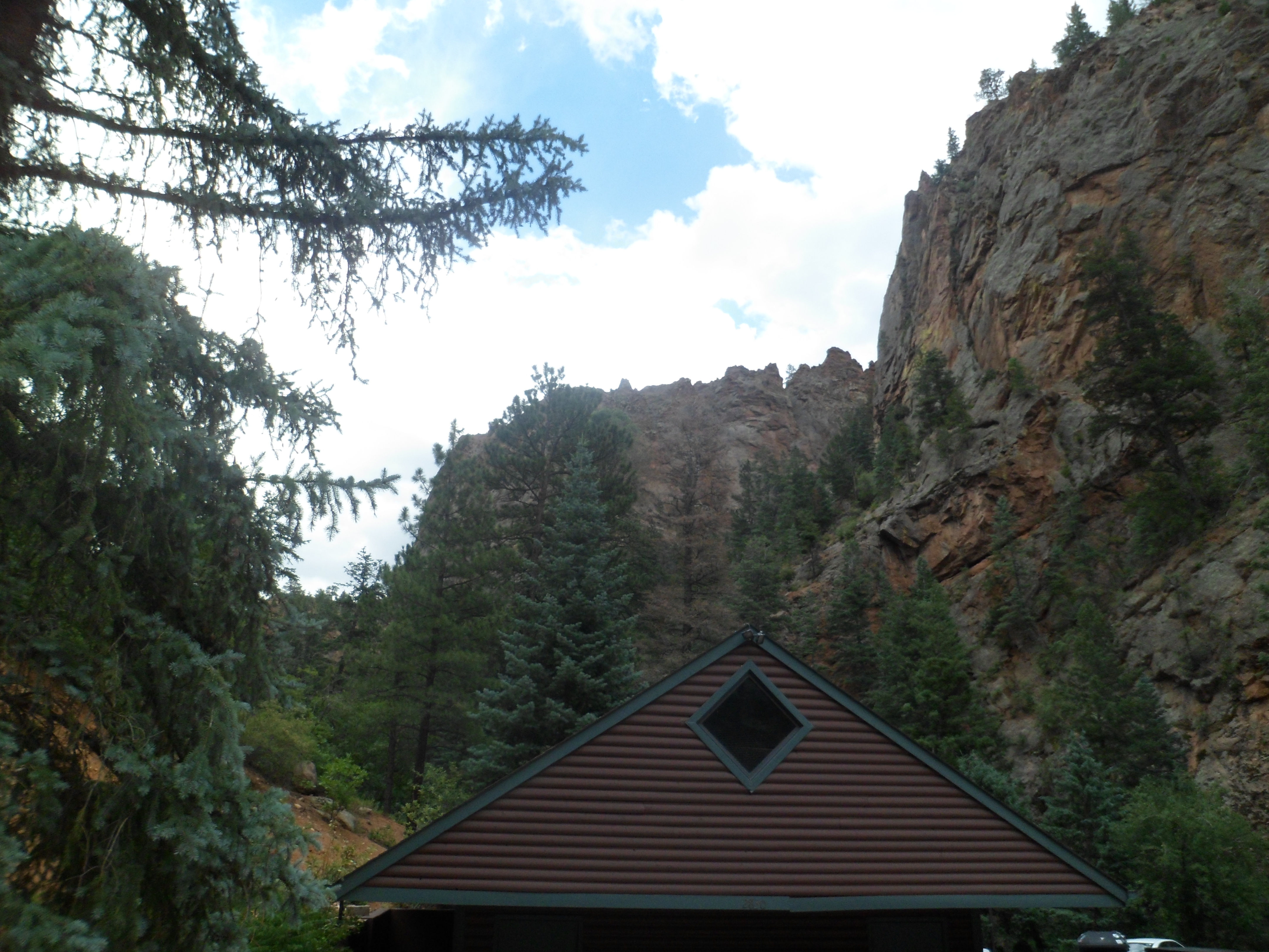
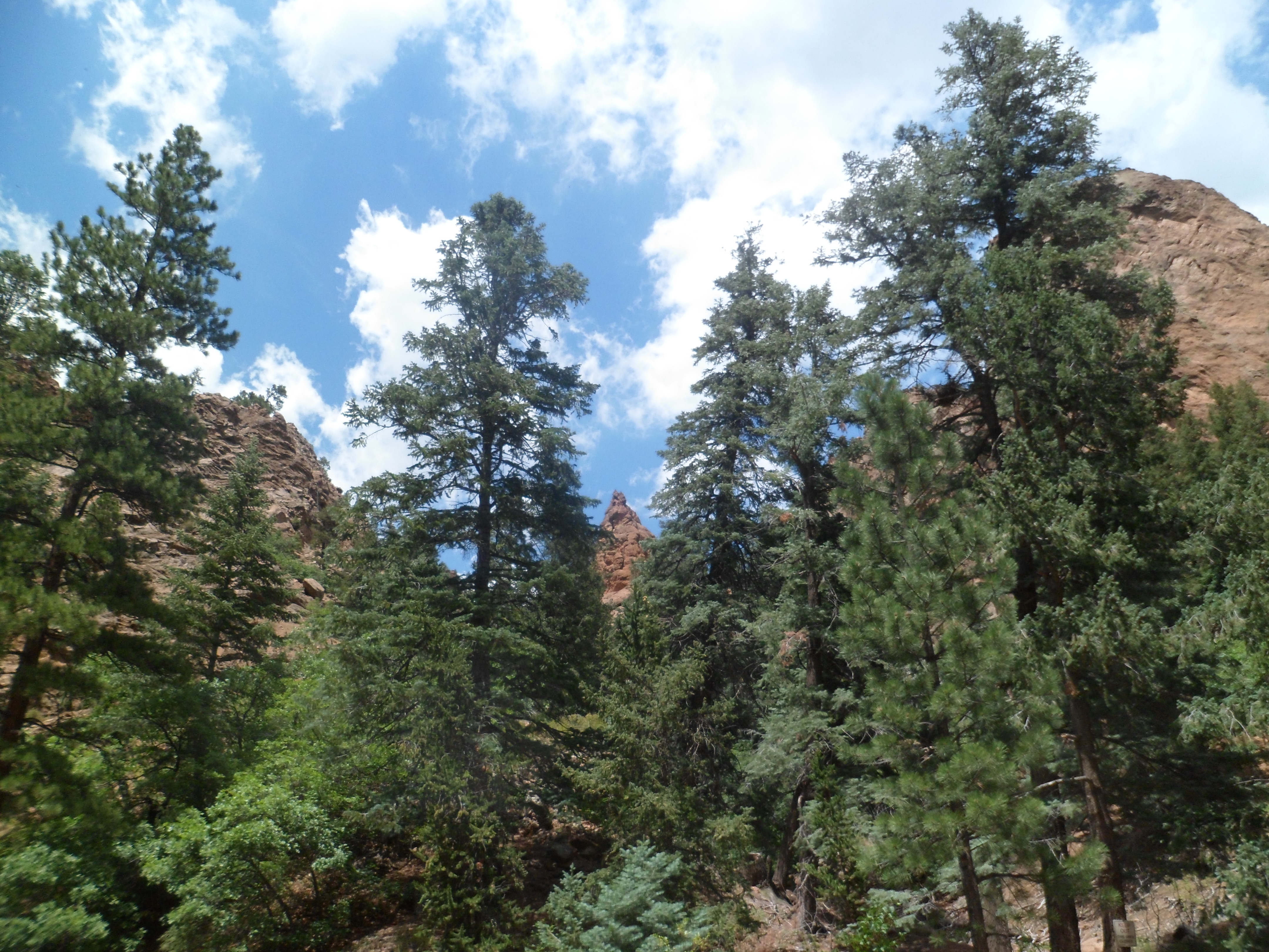
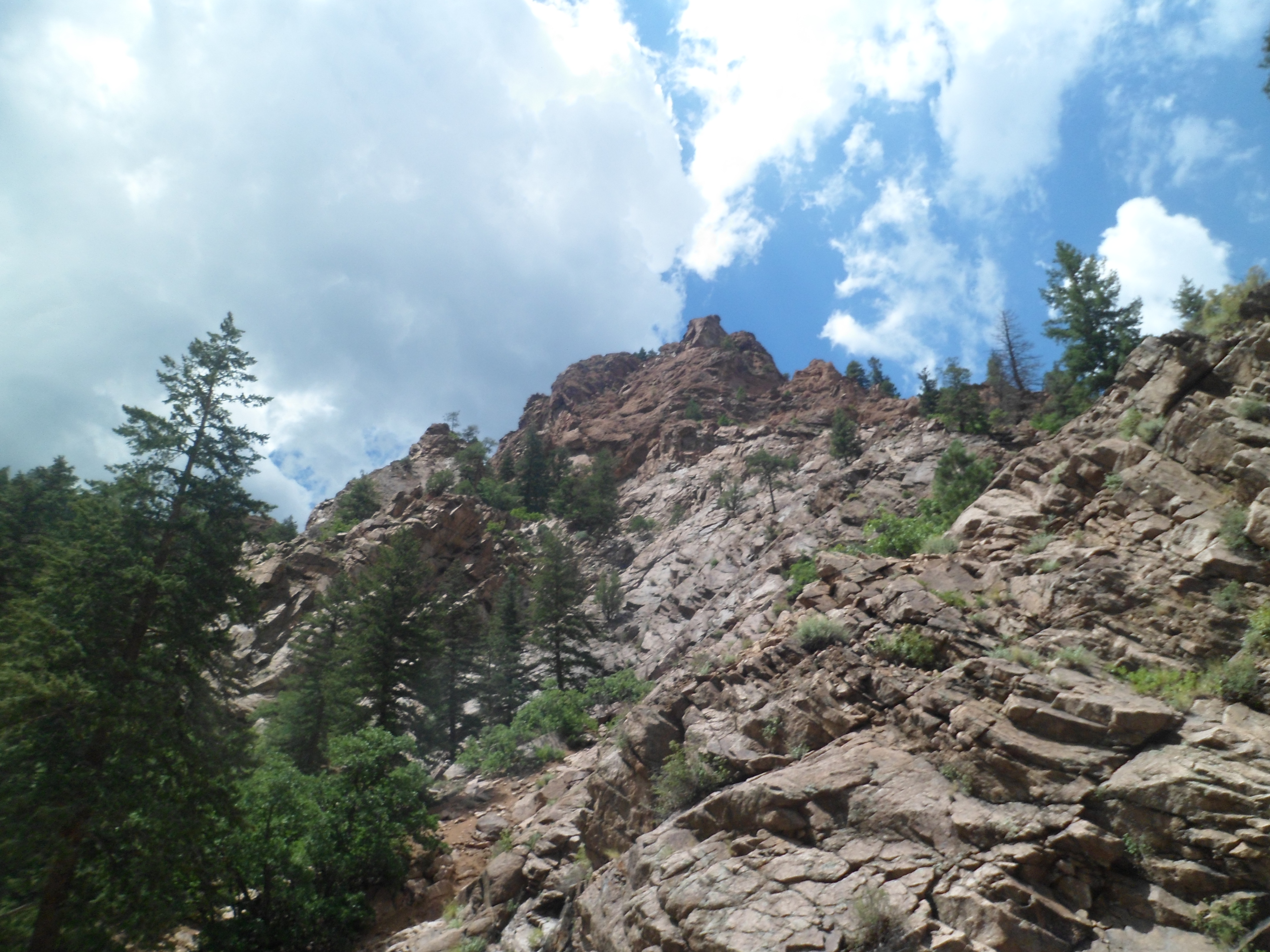
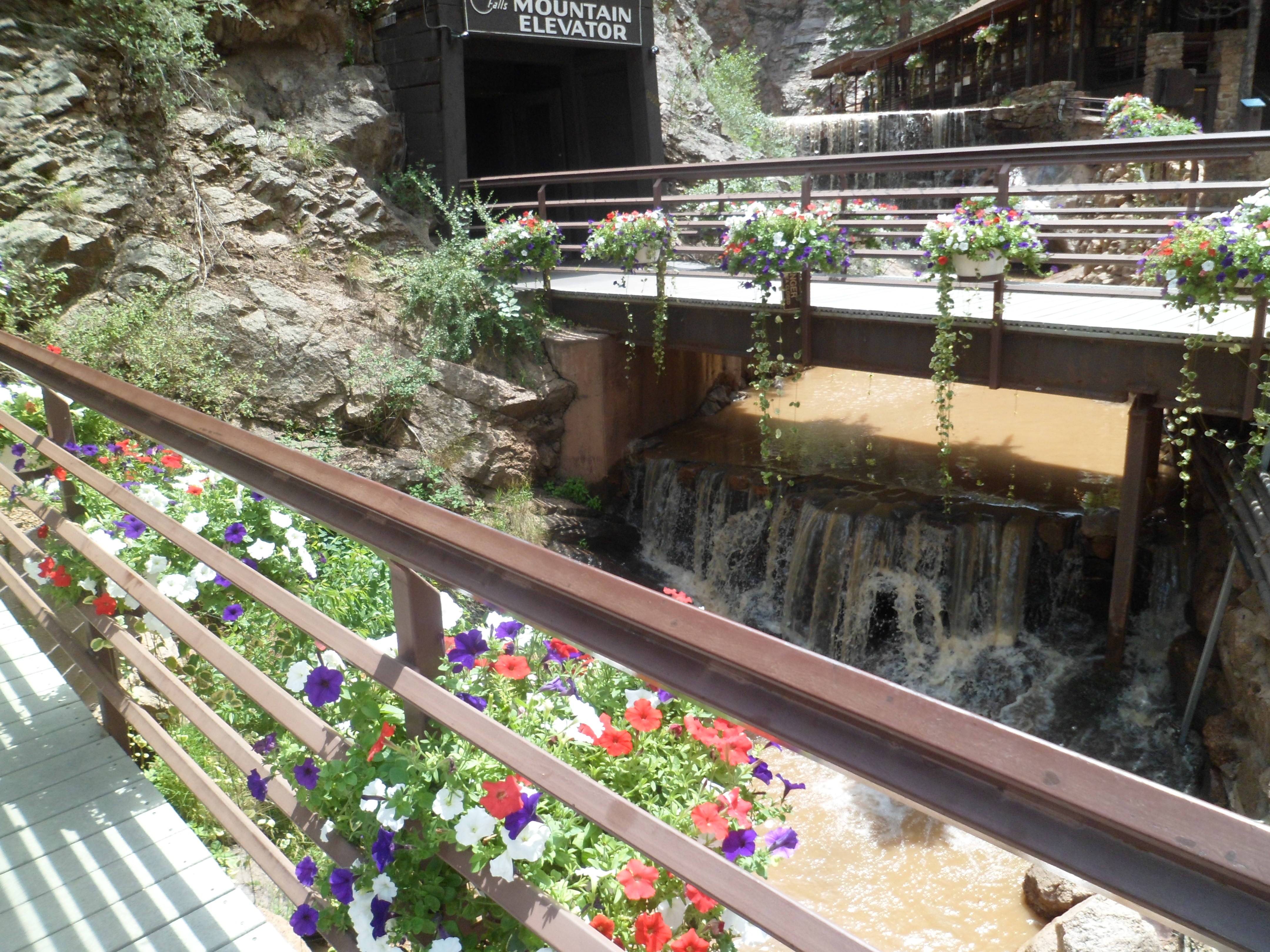
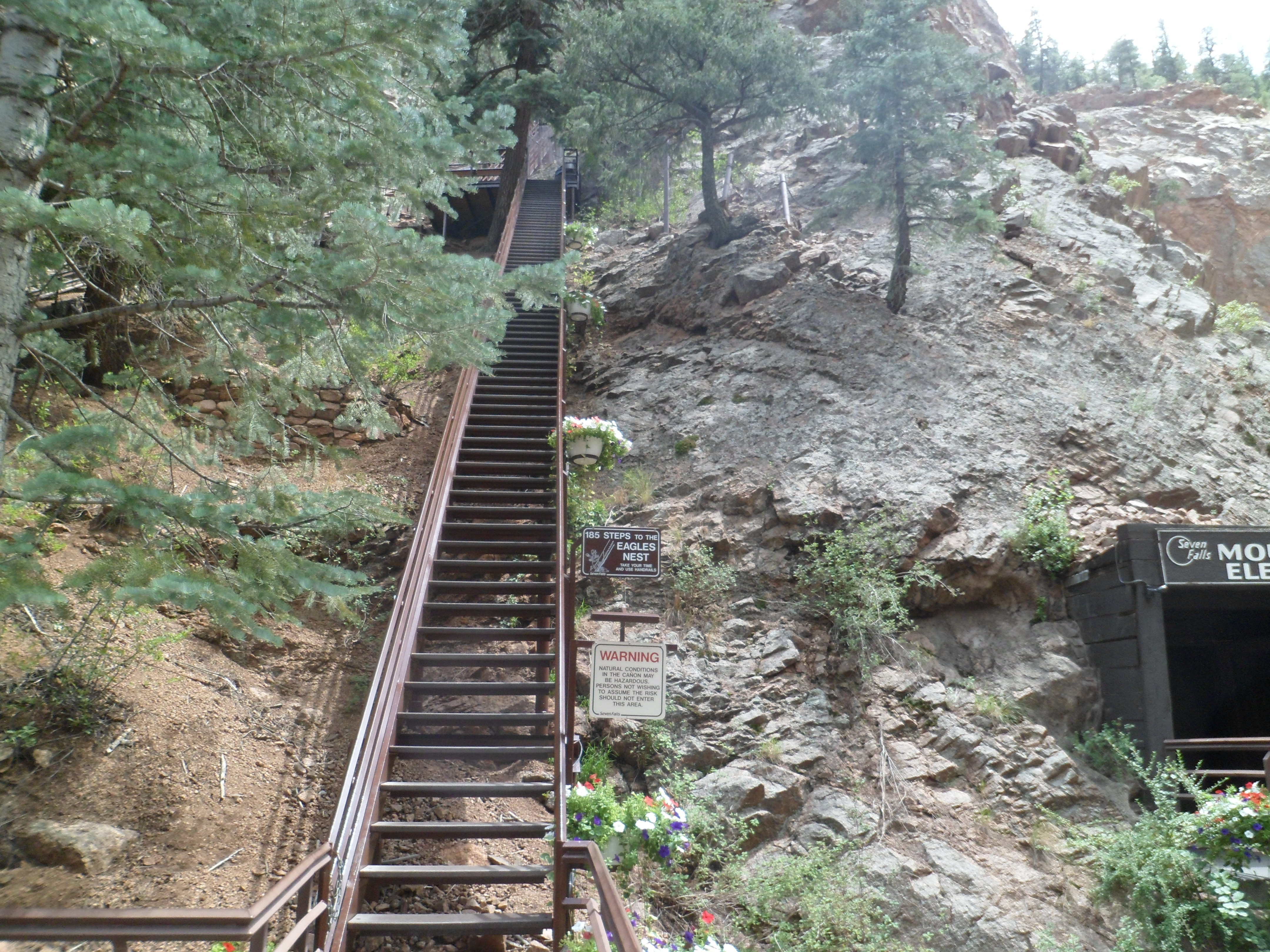
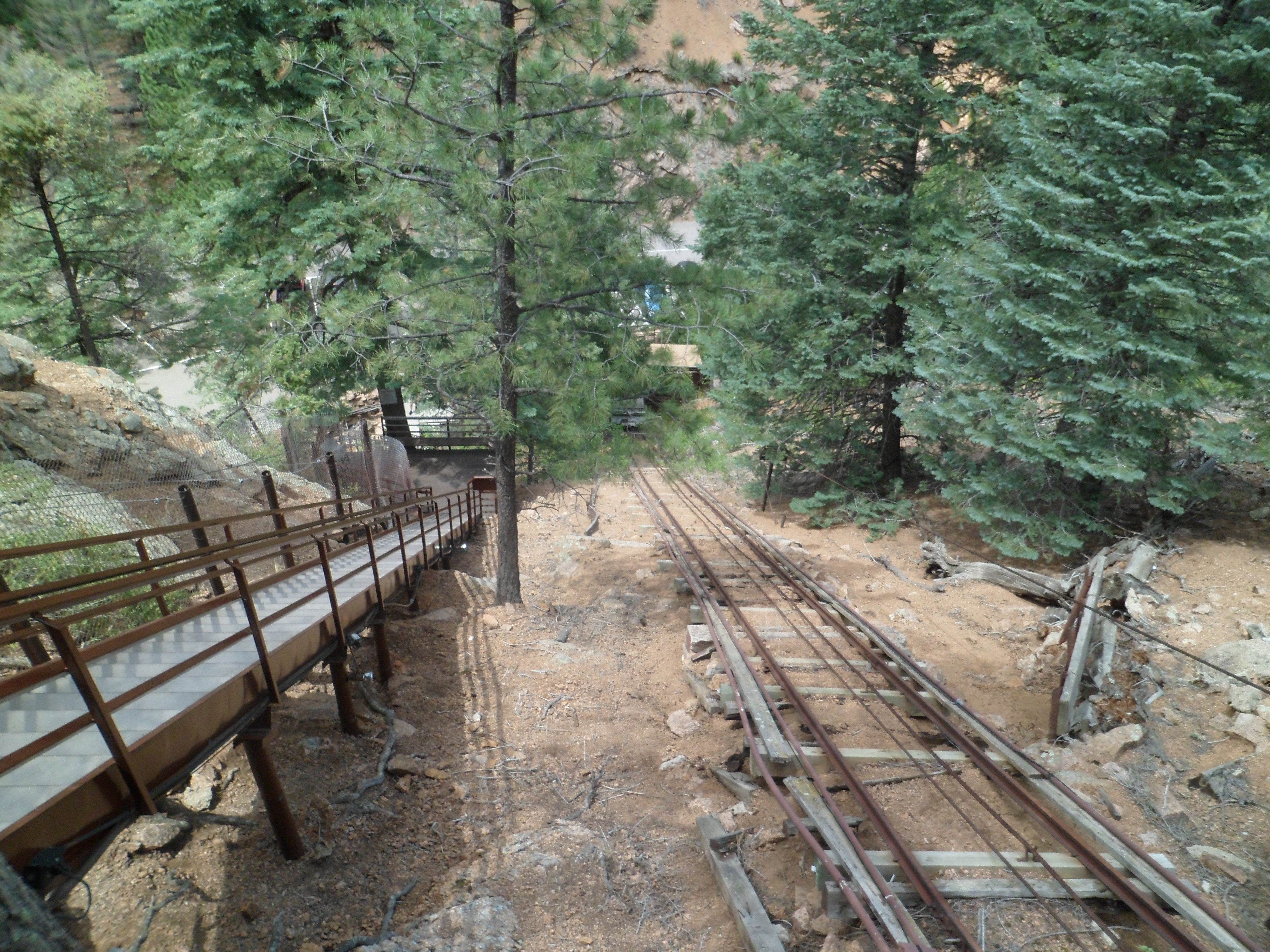
The falls may be reached by climbing up two sets of stairs, or by taking an elevator up the first elevation change, and taking the steps up the other set.  First, here are a few views of the mountain, down which Cheyenne Creek flows, creating the falls.

SAM_6184
SAM_6185
SAM_6186
SAM_6188
SAM_6190
SAM_6191
SAM_6194

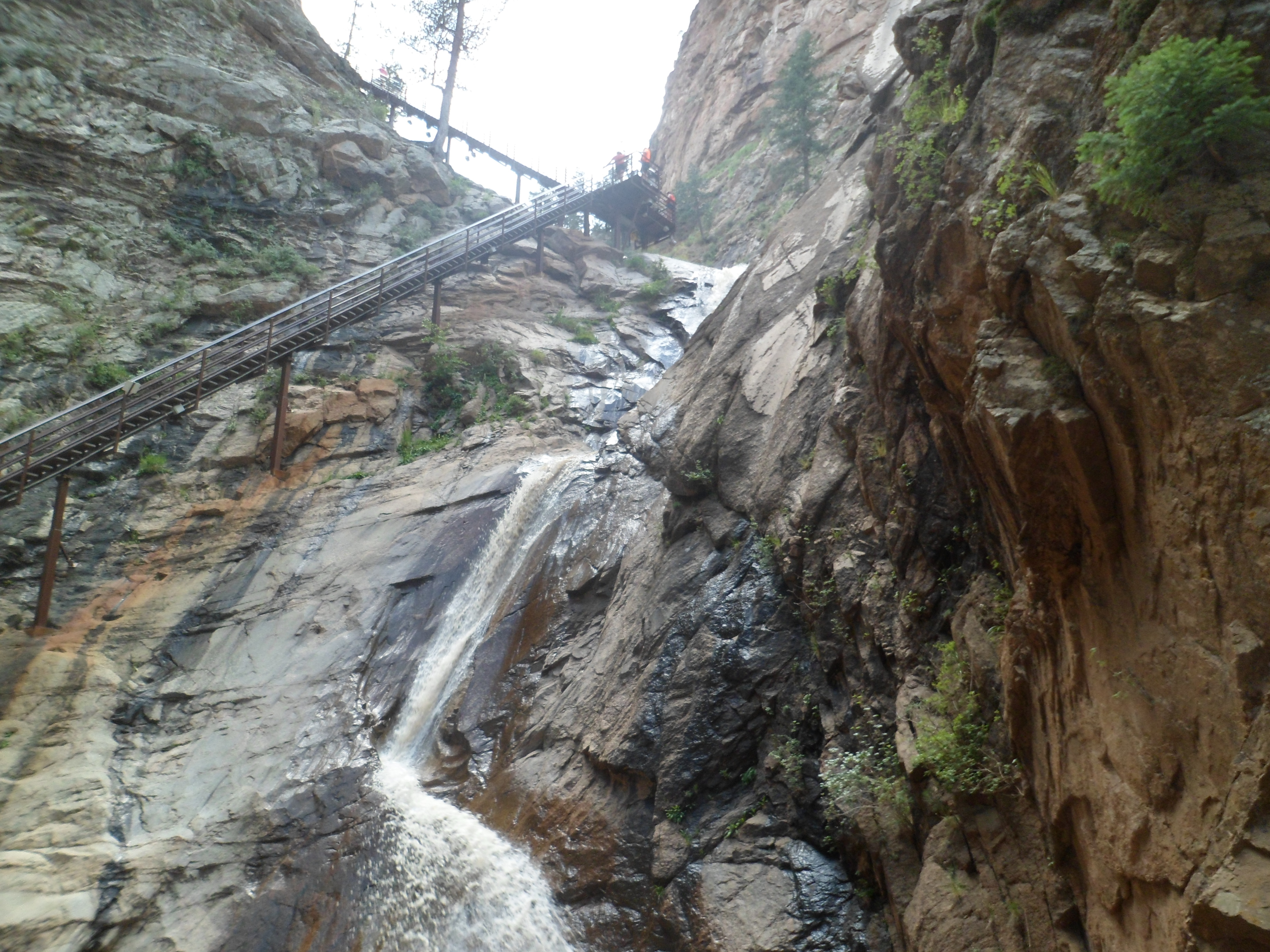
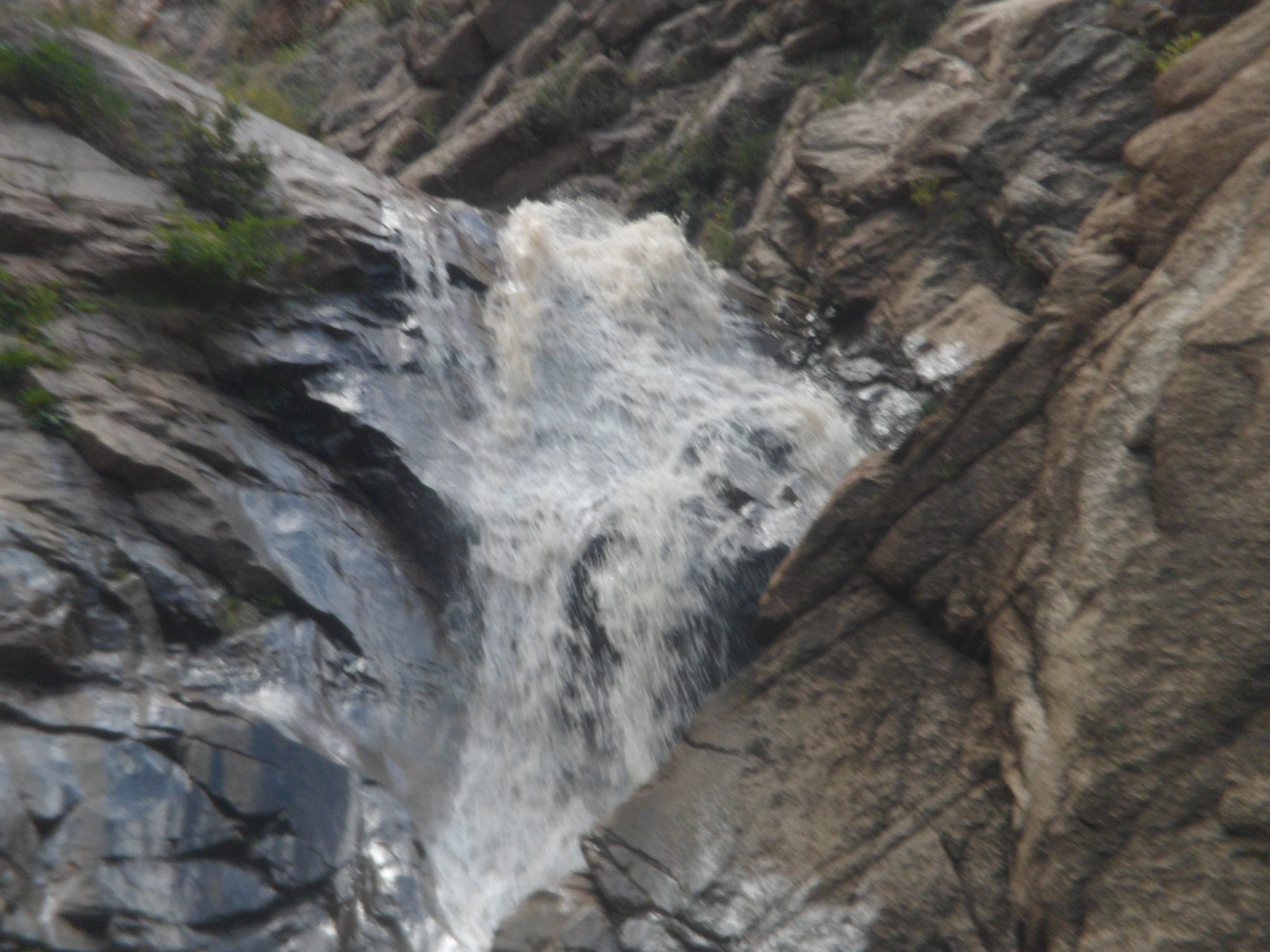
Here are some views of the stairs, followed by the falls themselves.

SAM_6196
SAM_6197
SAM_6201
SAM_6207
SAM_6210
SAM_6213
SAM_6215
SAM_6217

In the next post of this series, we will look at the trails above the falls.