A San Diego Thanksgiving, 2013.

2

Thursday, November 28 was:  Thanksgiving, the first day of Chanukah, the anniversary of the Ascension of ‘Abdu’l-Baha, another day in the dissolution of the comet that was challenging the Sun’s atmosphere.  It was also my 63rd birthday.  As such, all made for a perfect opportunity to spend a couple of days with my son, Aram, at and near his naval base, in San Diego.  We shared things of which we are mutually passionate:  Julian, CA and a couple of hiking trails, the latest installments of “The Hunger Games” and “Thor”,  dinner at Applebee’s and DVD’s of the first season of “Game of Thrones”.  He also introduced me to Zorba’s, a Greek-buffet.  I sat out his Black Friday excursion, merely helping to transport the loot from my room at Navy Lodge, which is near the Navy Exchange, to his room, across base.  He didn’t go to excess, for which I feel validated as a father.

Here is a photo-based chronology of November 27-28.

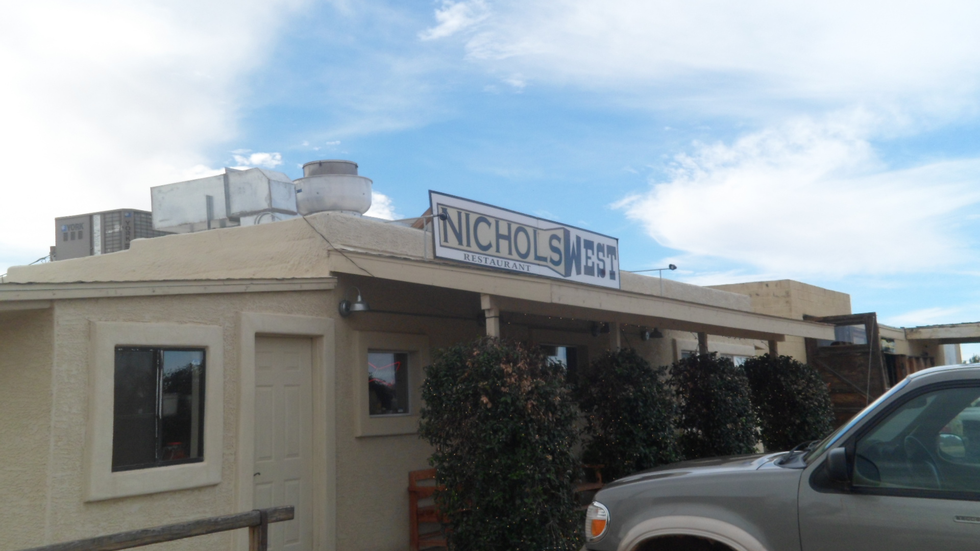
I left Prescott around 10 AM, on 11/27.  Lunch consisted of superb shrimp tacos, at Nichols West, in Congress, AZ.

SAM_7435

The owner said there is a Nichols East, somewhere in Long Island, NY.  That’s as good a reason as any to explore Long Island.  If the restaurant is closed, there are always Amagansett, Sag Harbor and Montauk, on which to fall back.

I continued on, after lunch, through Arizona’s Outback- only to read what I’ve often thought:

SAM_7436

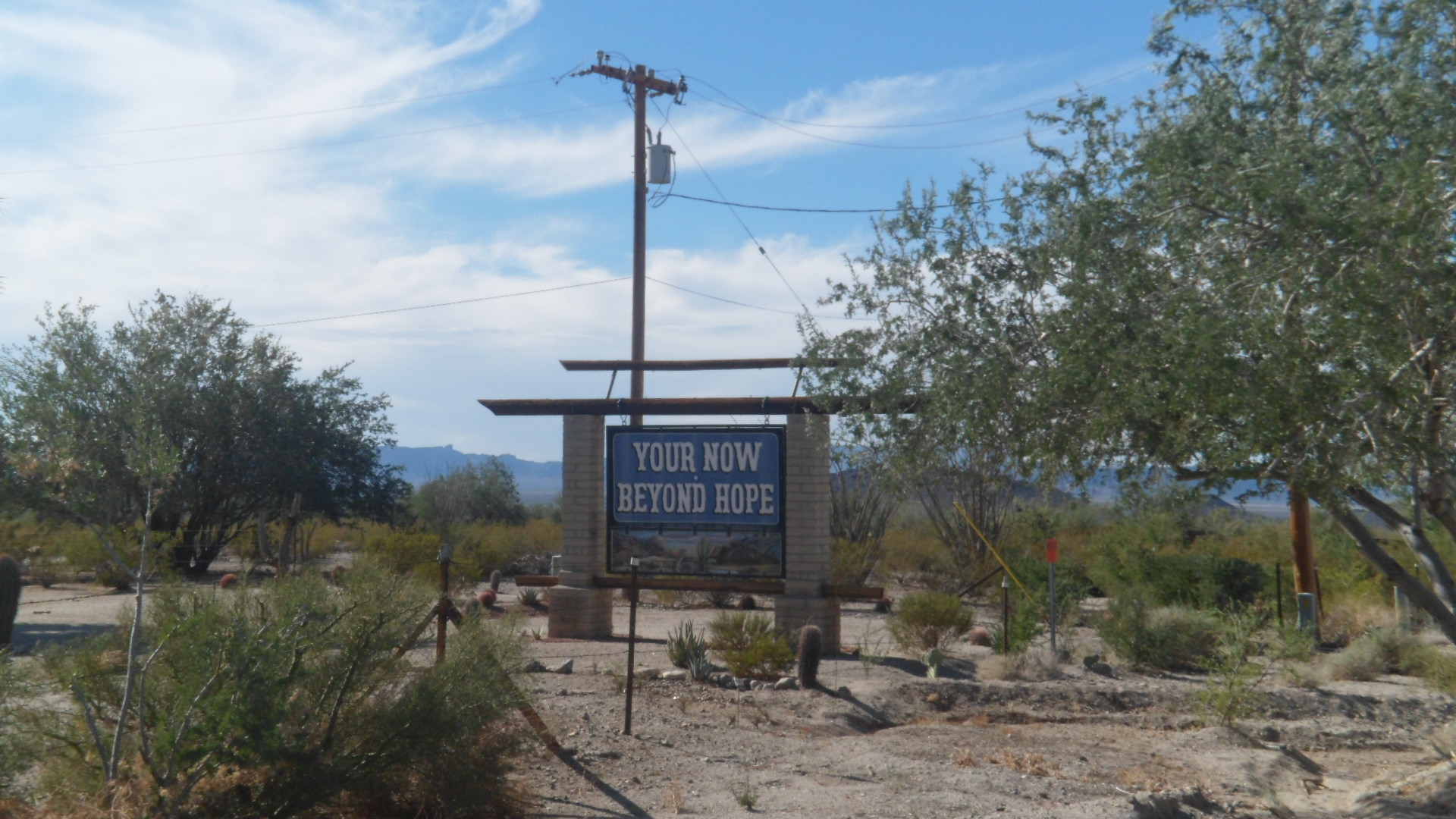
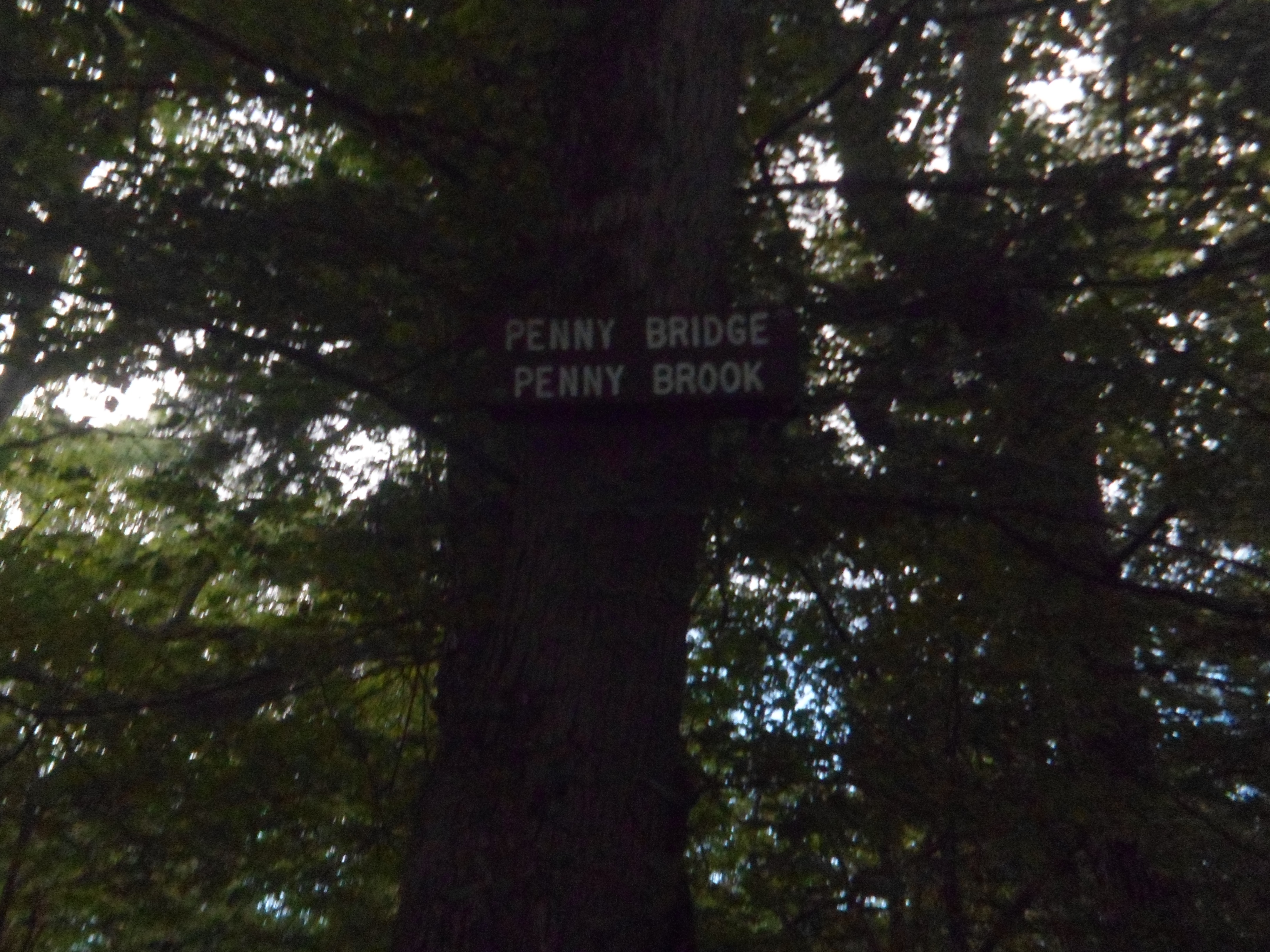
My inner Grammar Nazi got me through this one, just fine.  It’s their Beyond Hope, not mine- LOL.

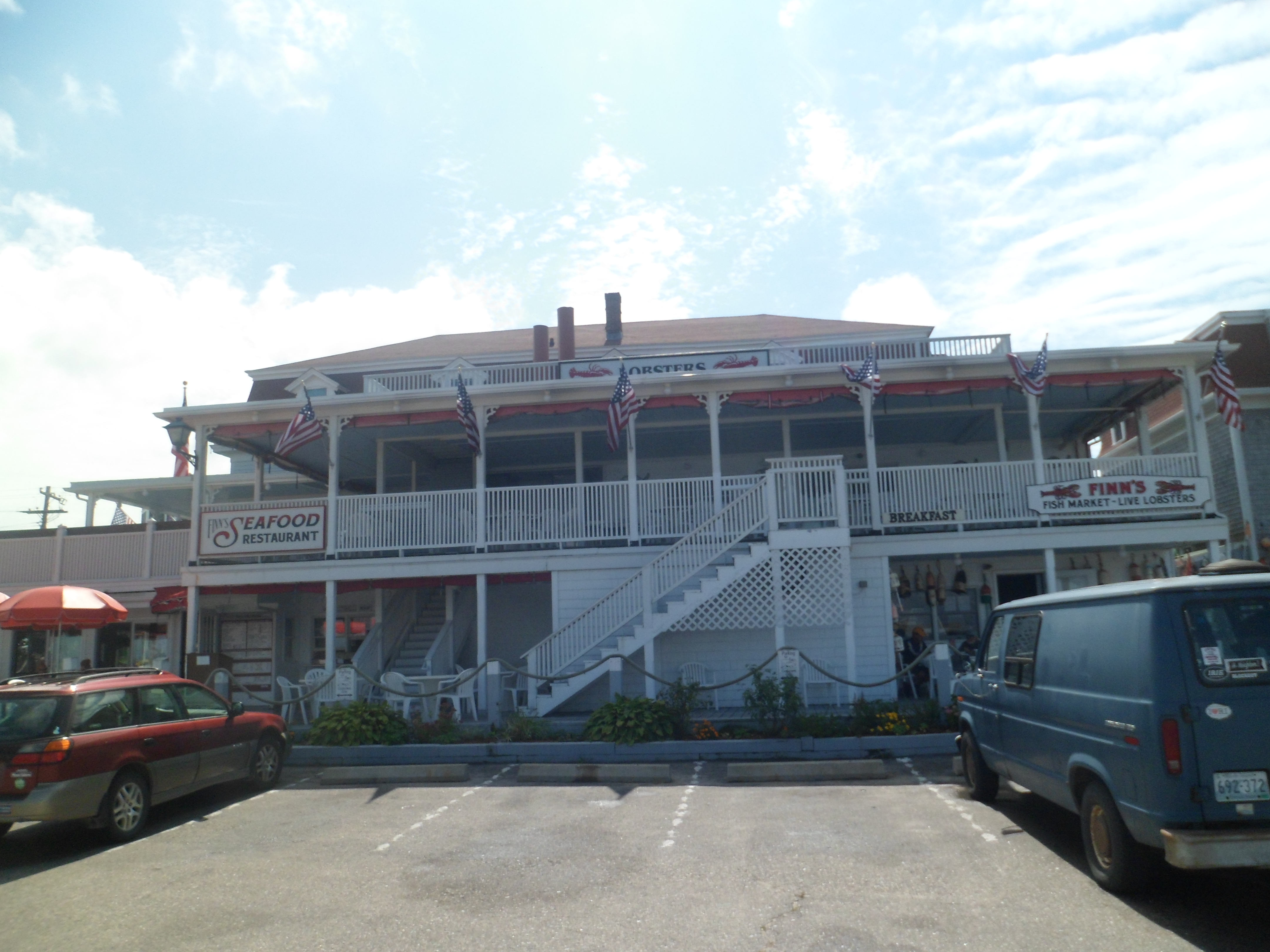
I arrived in San Diego around 6, courtesy of a couple of serious high-speed-induced crashes that led to traffic tie-ups for the rest of us. We got MOI settled into a cozy room at the Navy Lodge, and drove to Applebee’s in Plaza Bonita, near Chula Vista, on the south end of Metro.  Afterwards, I joyously crashed and Aram went back to his barracks.

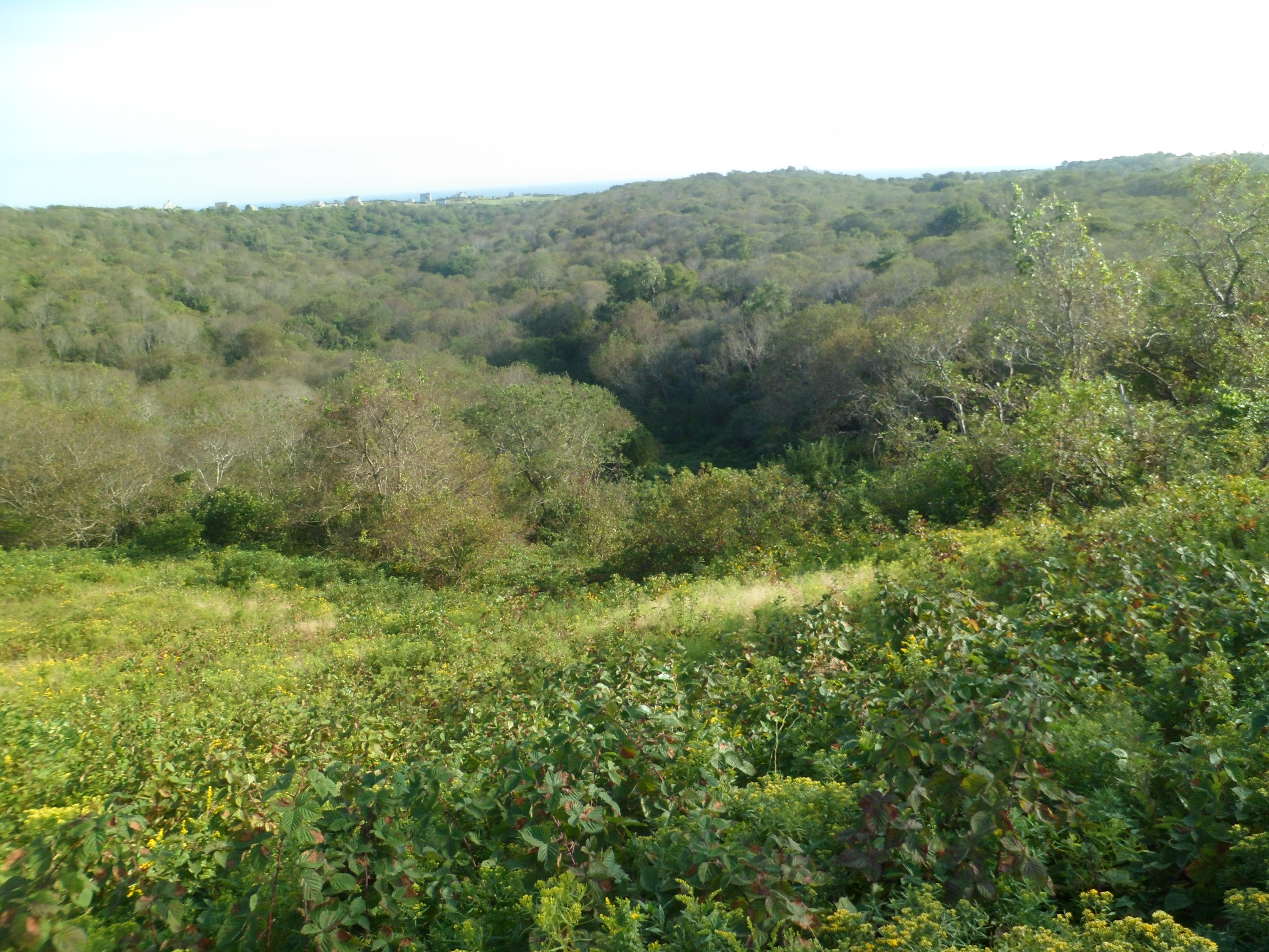
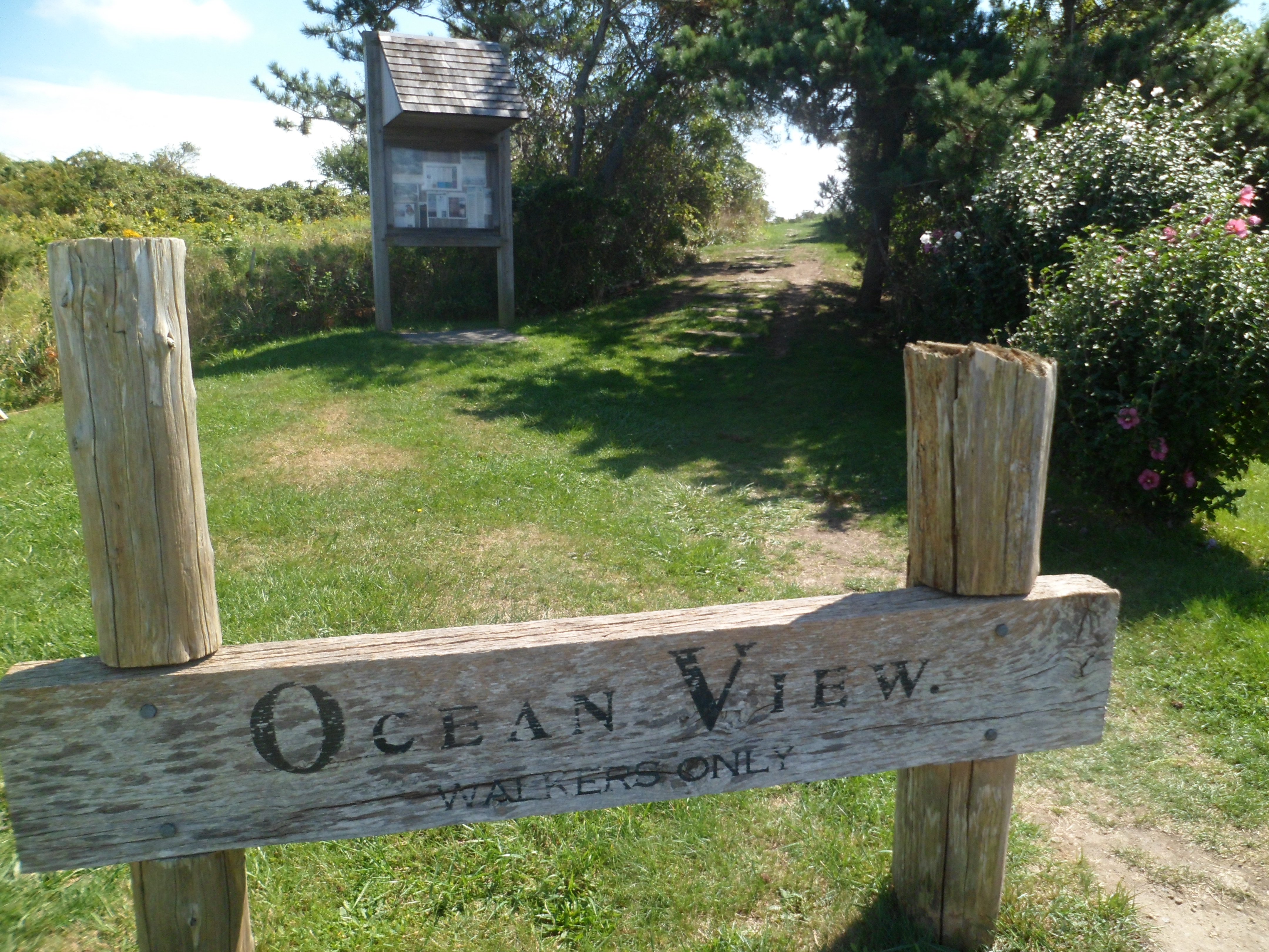
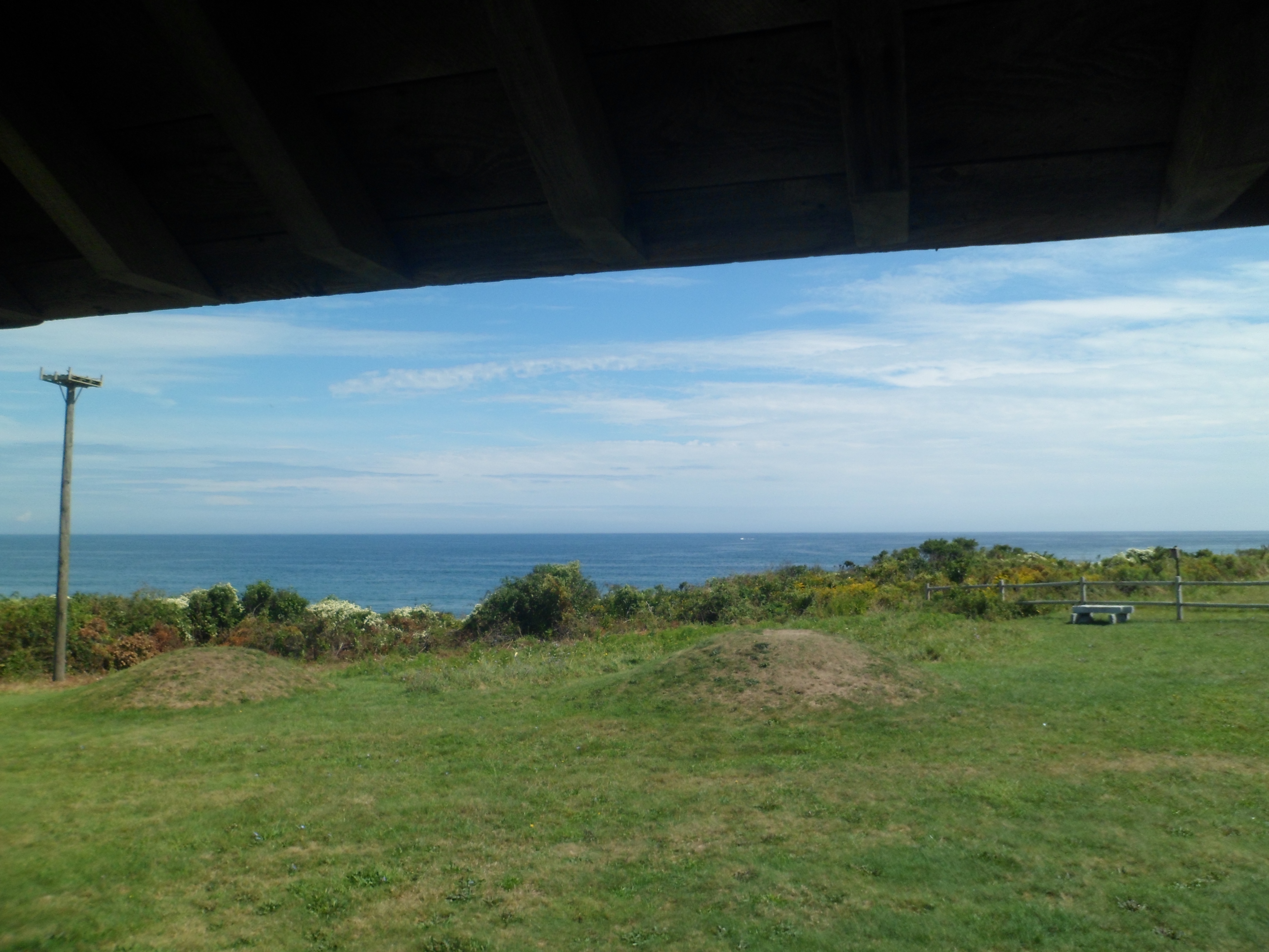
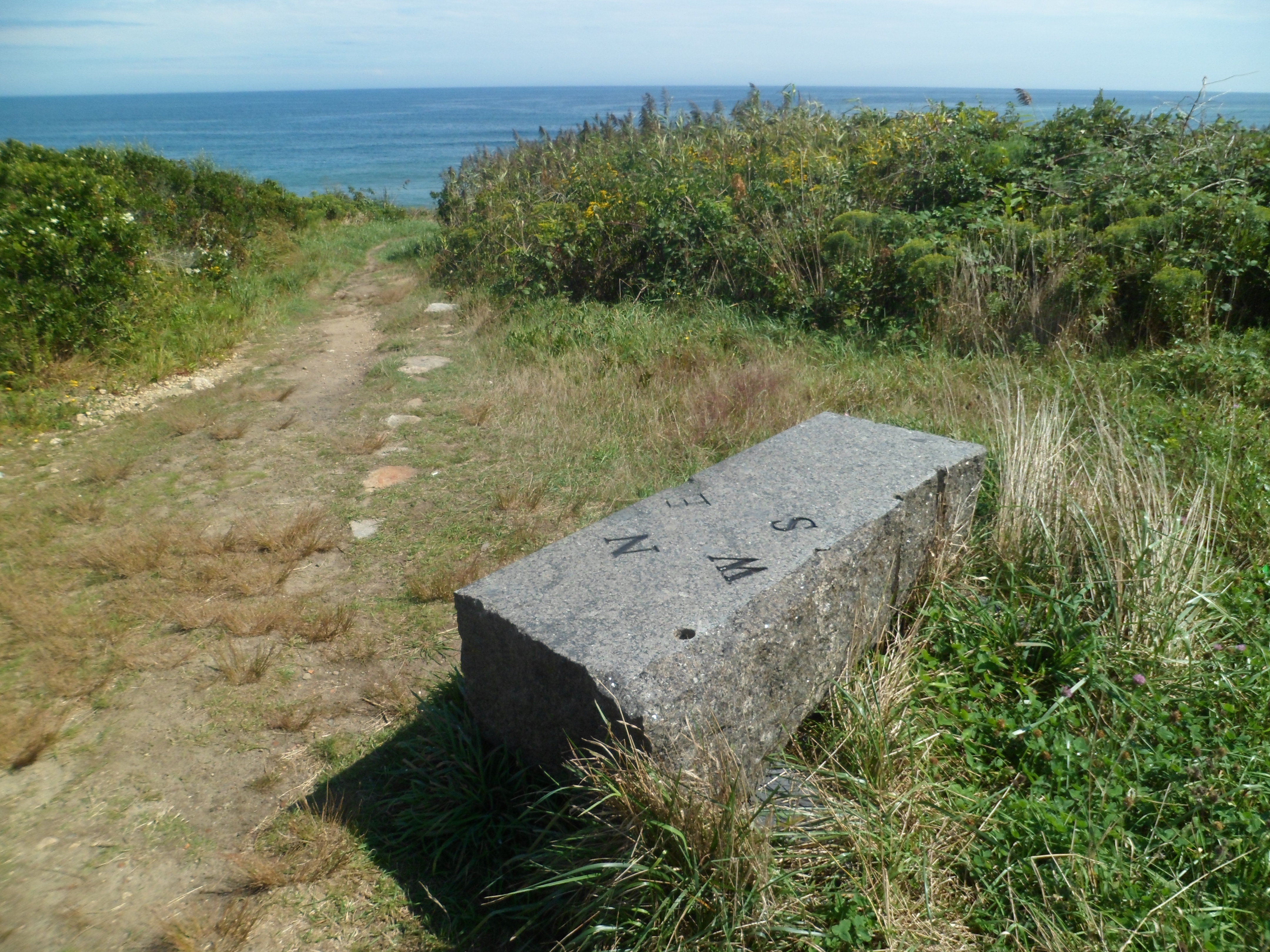
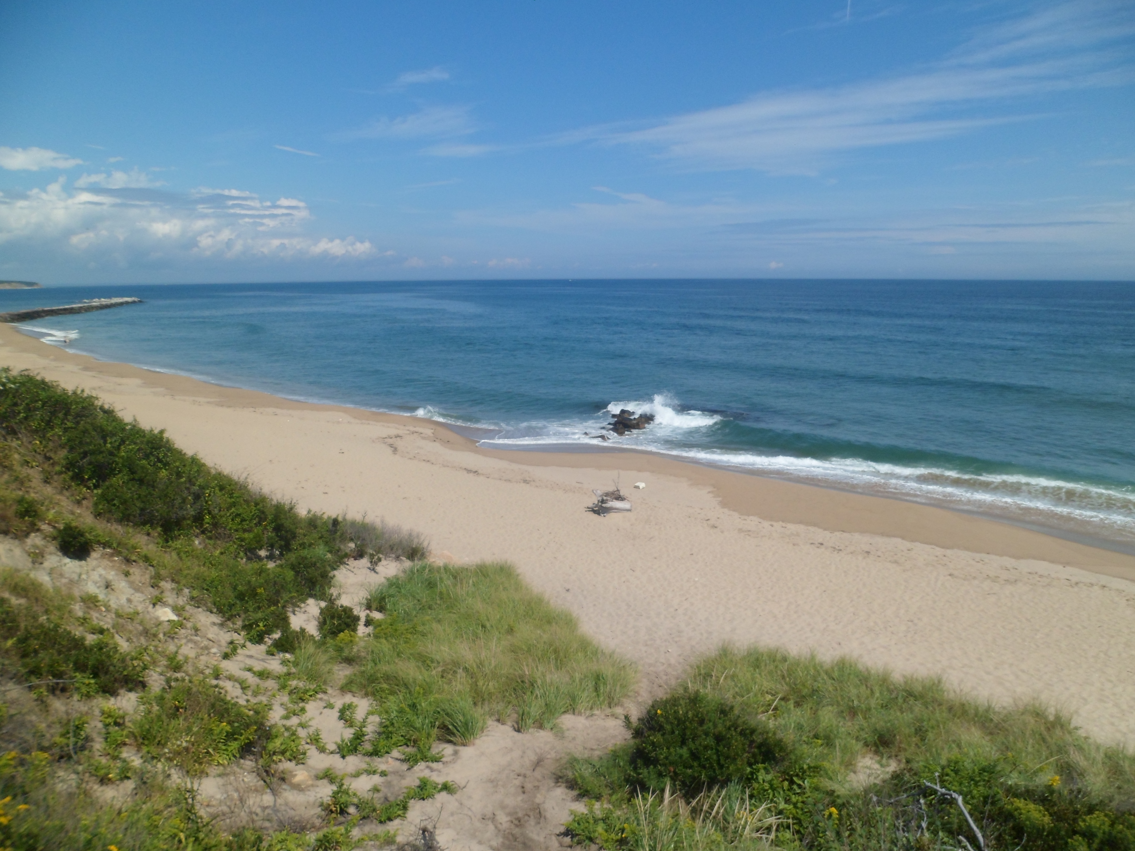
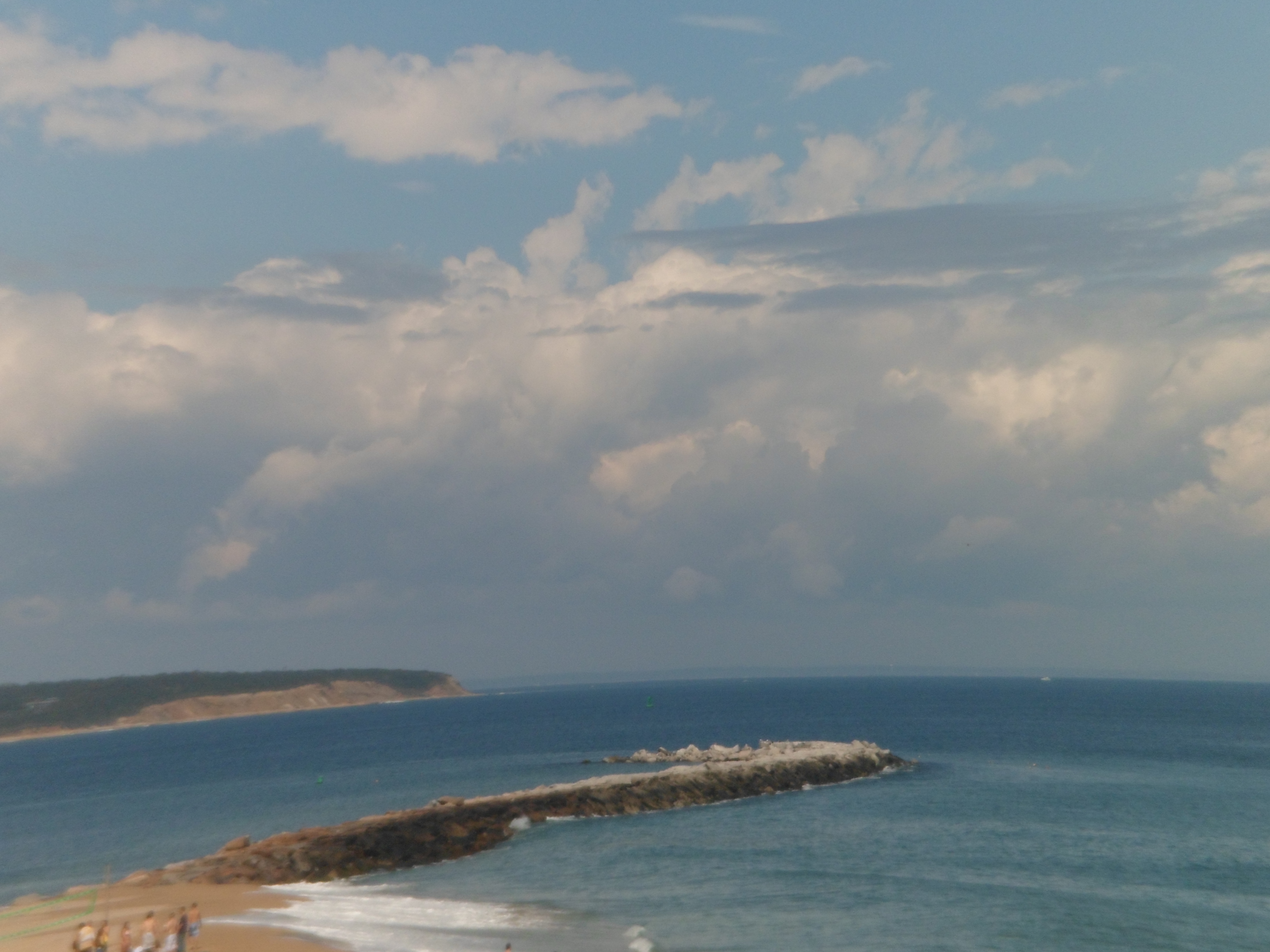
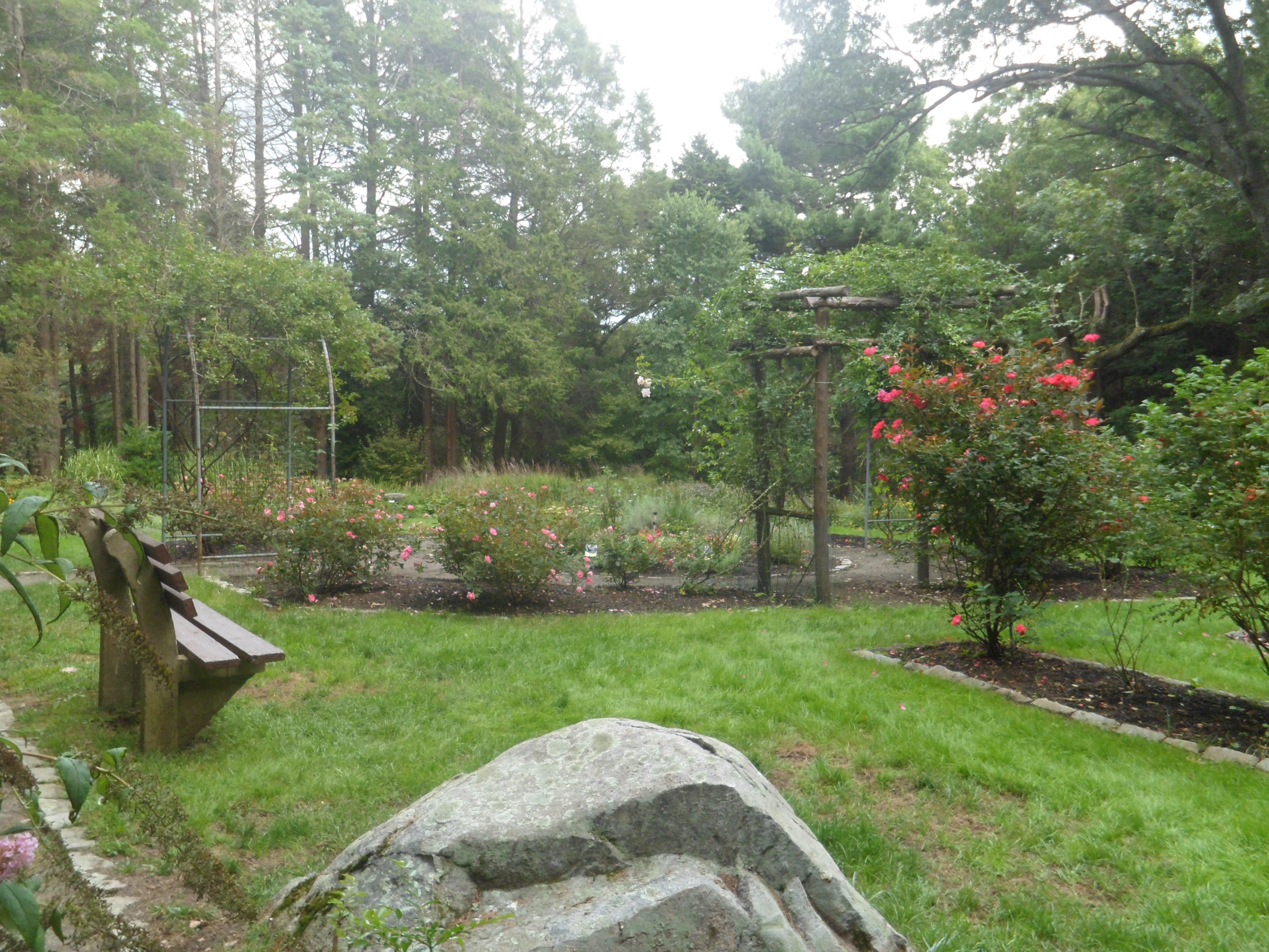
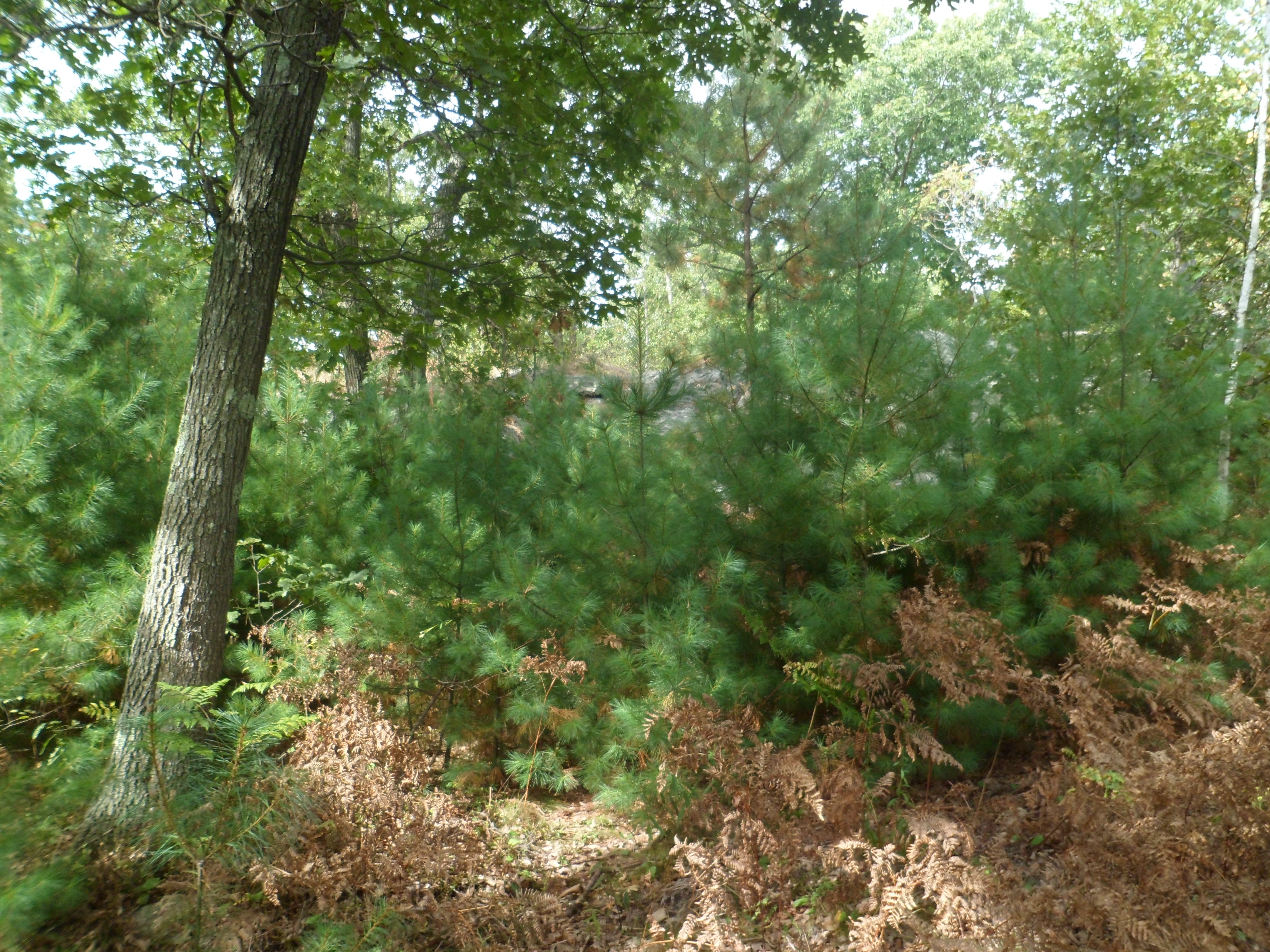
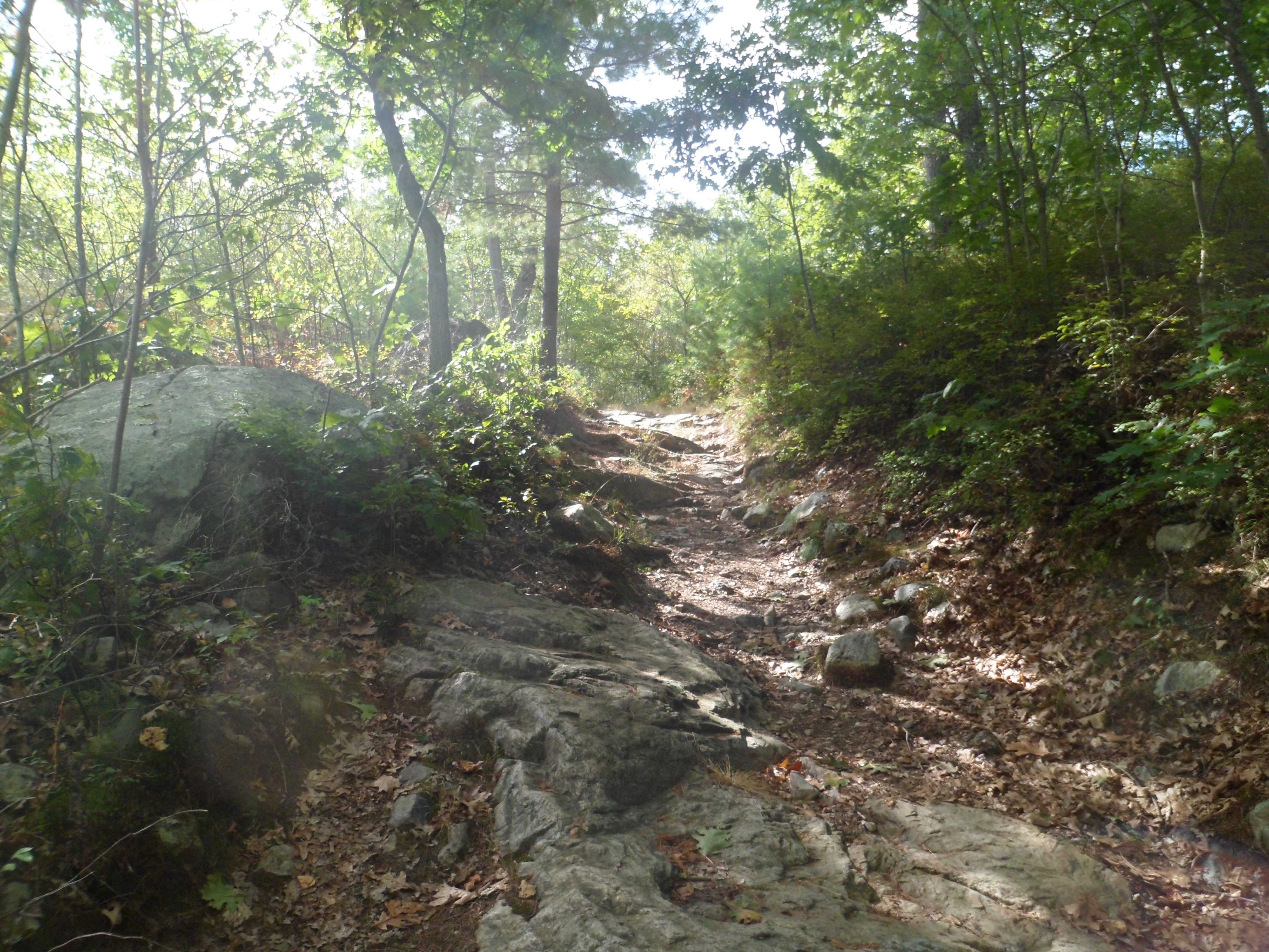
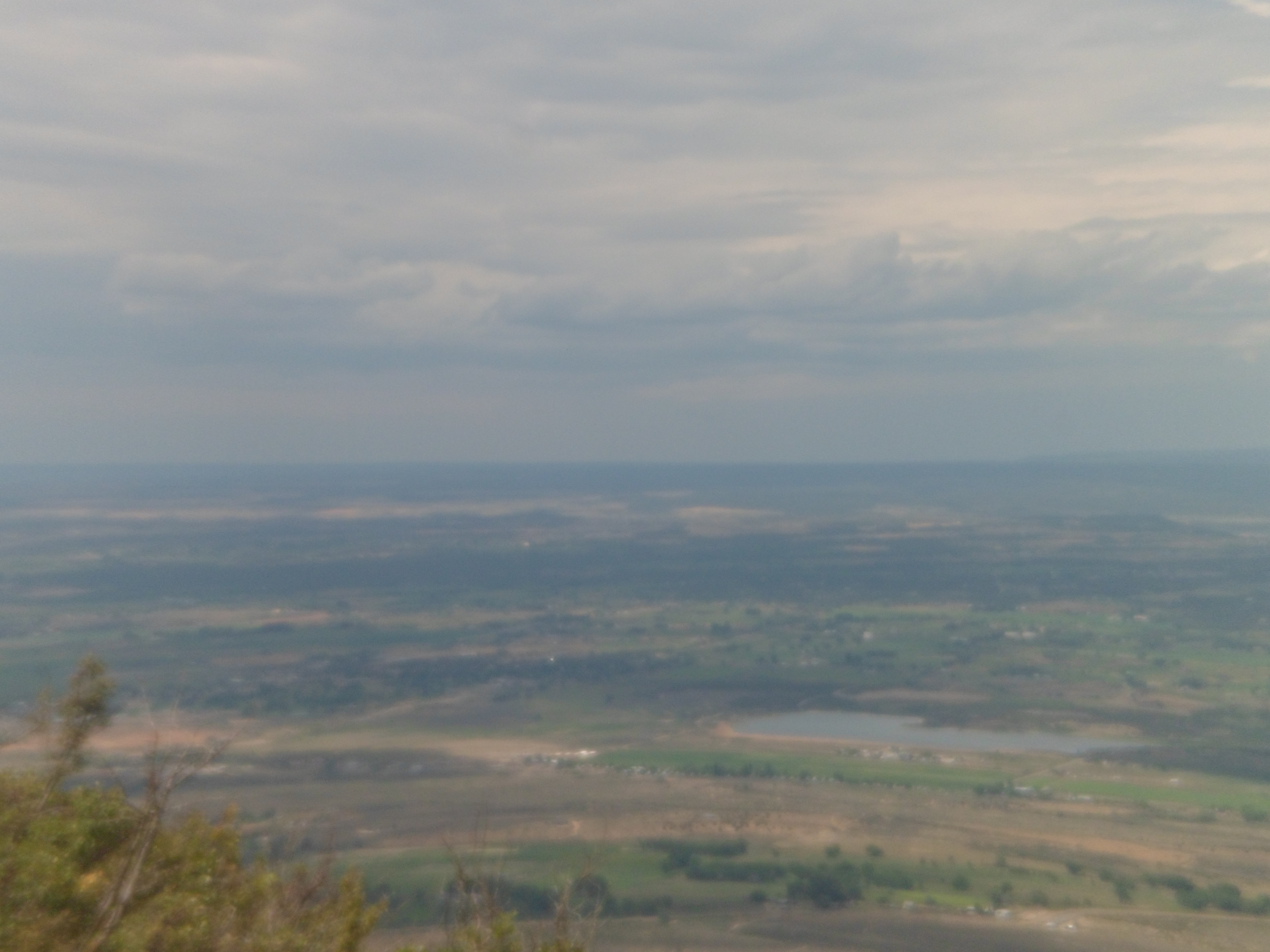
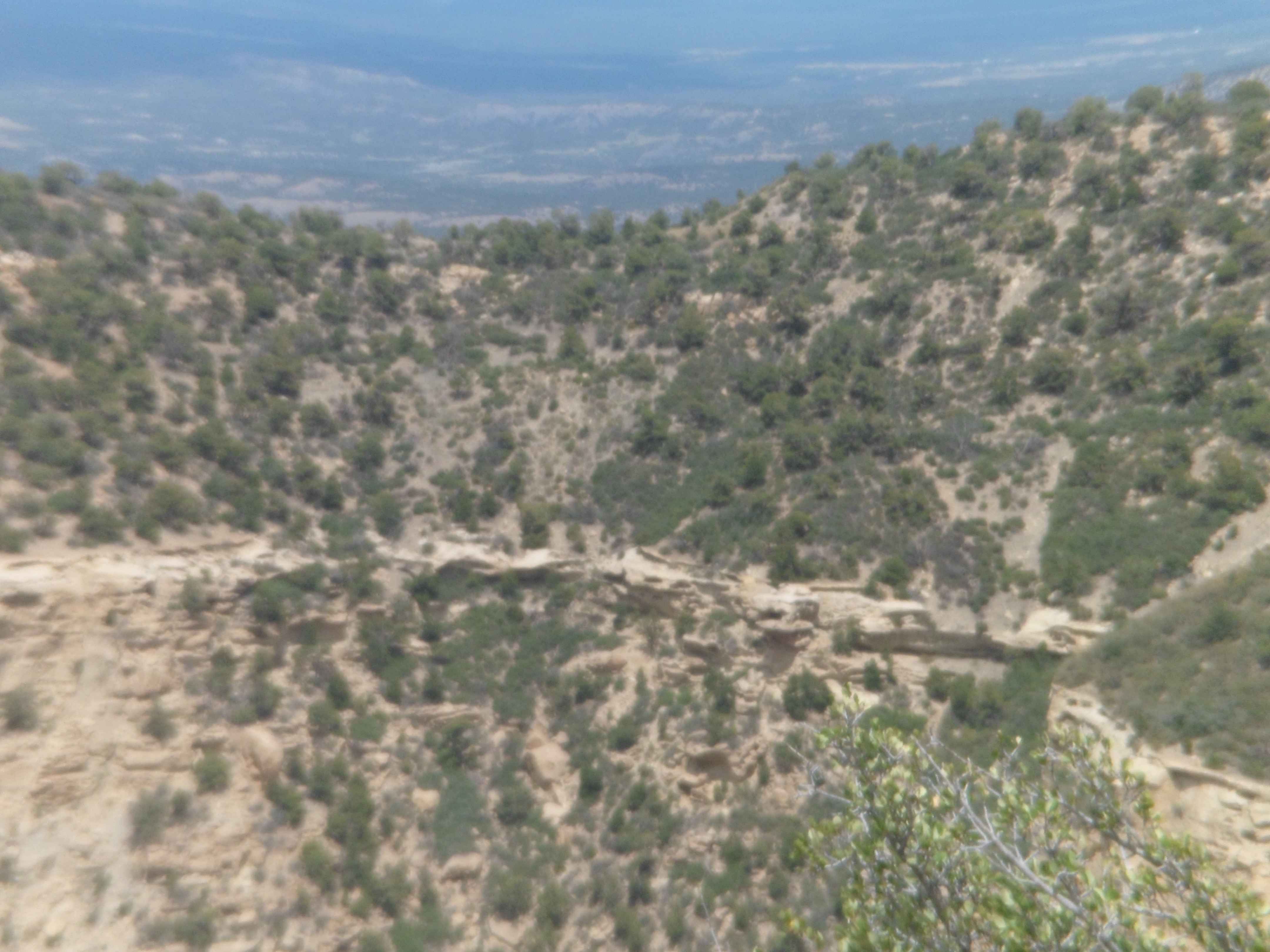
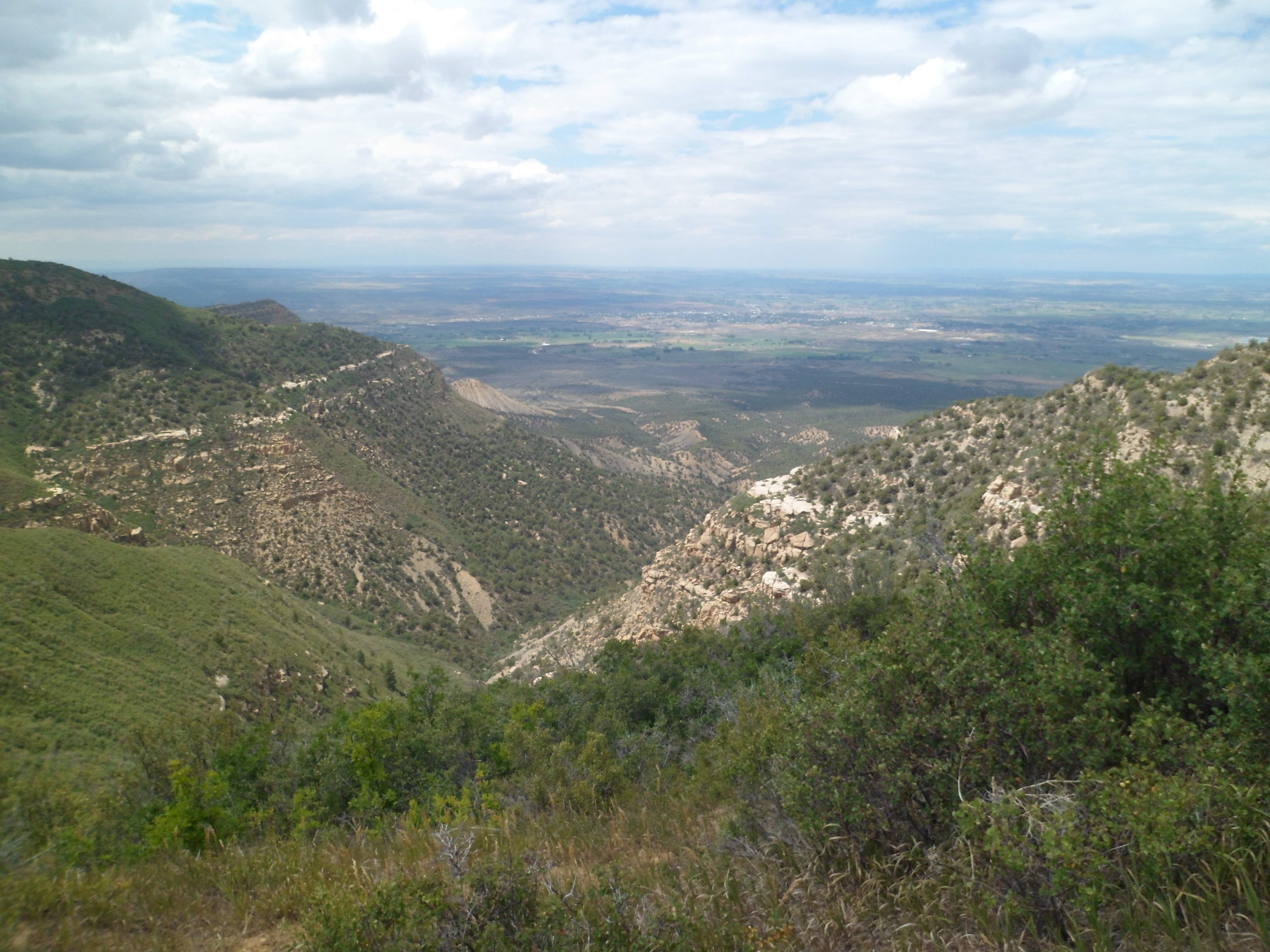
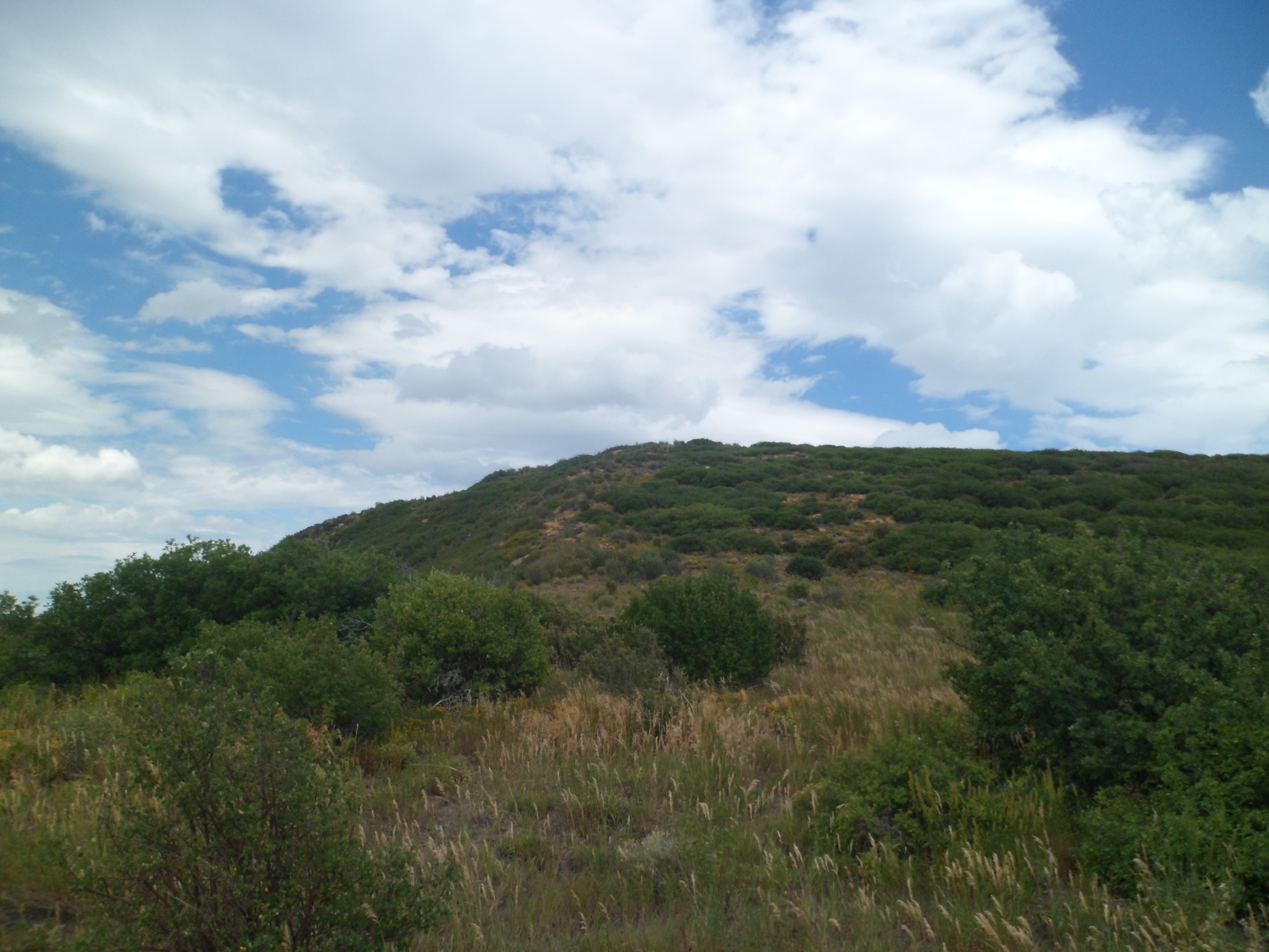
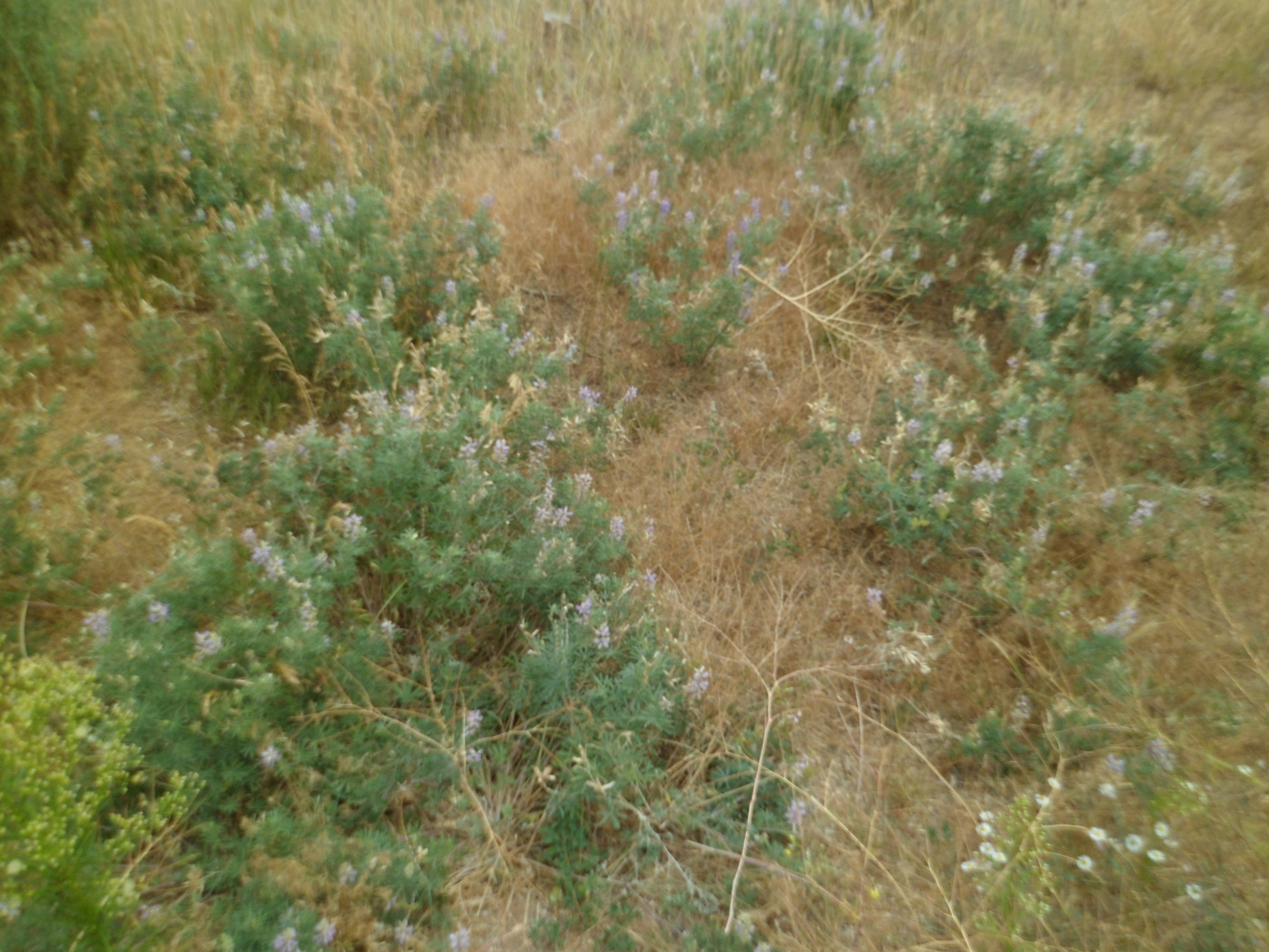
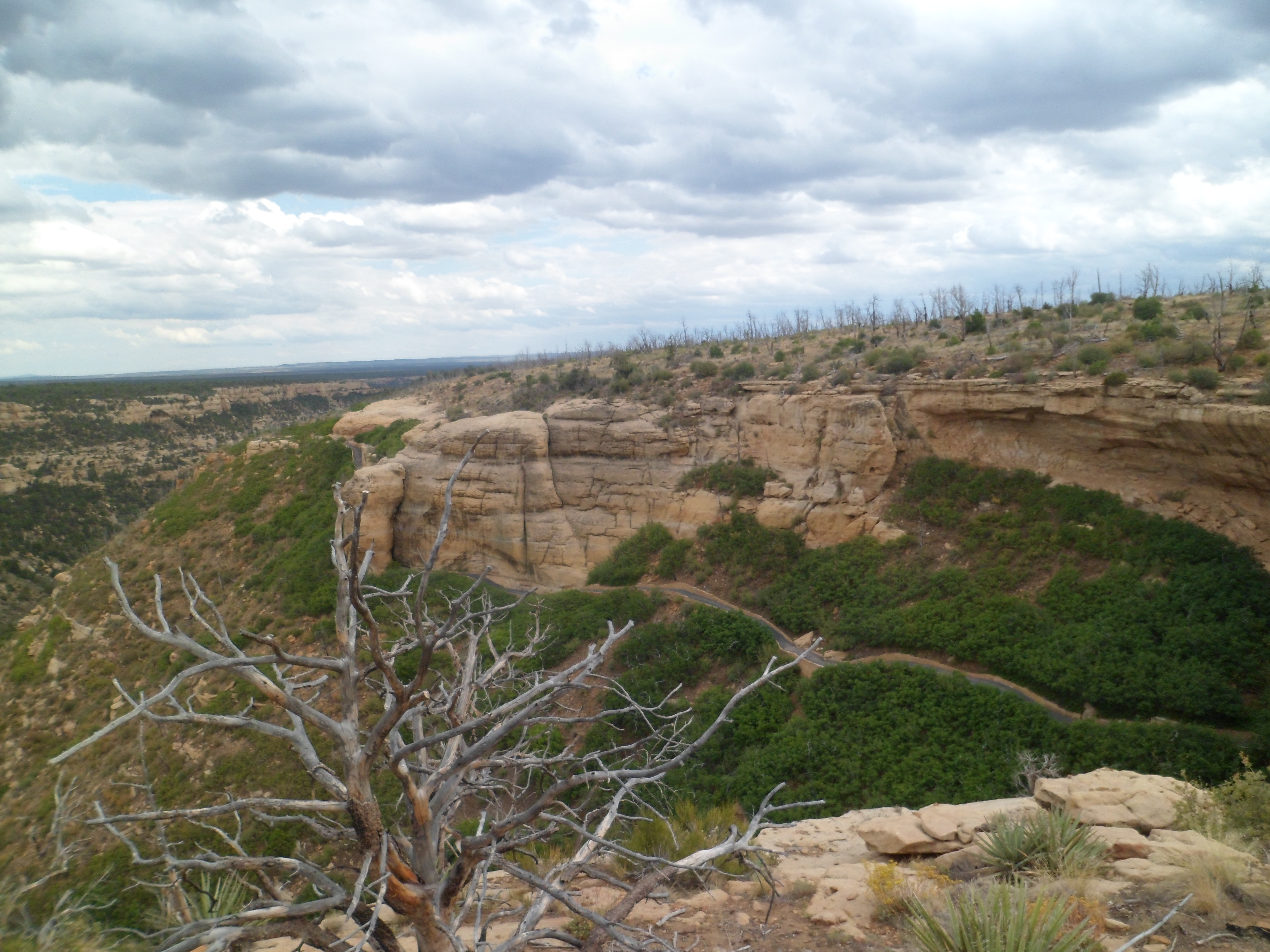
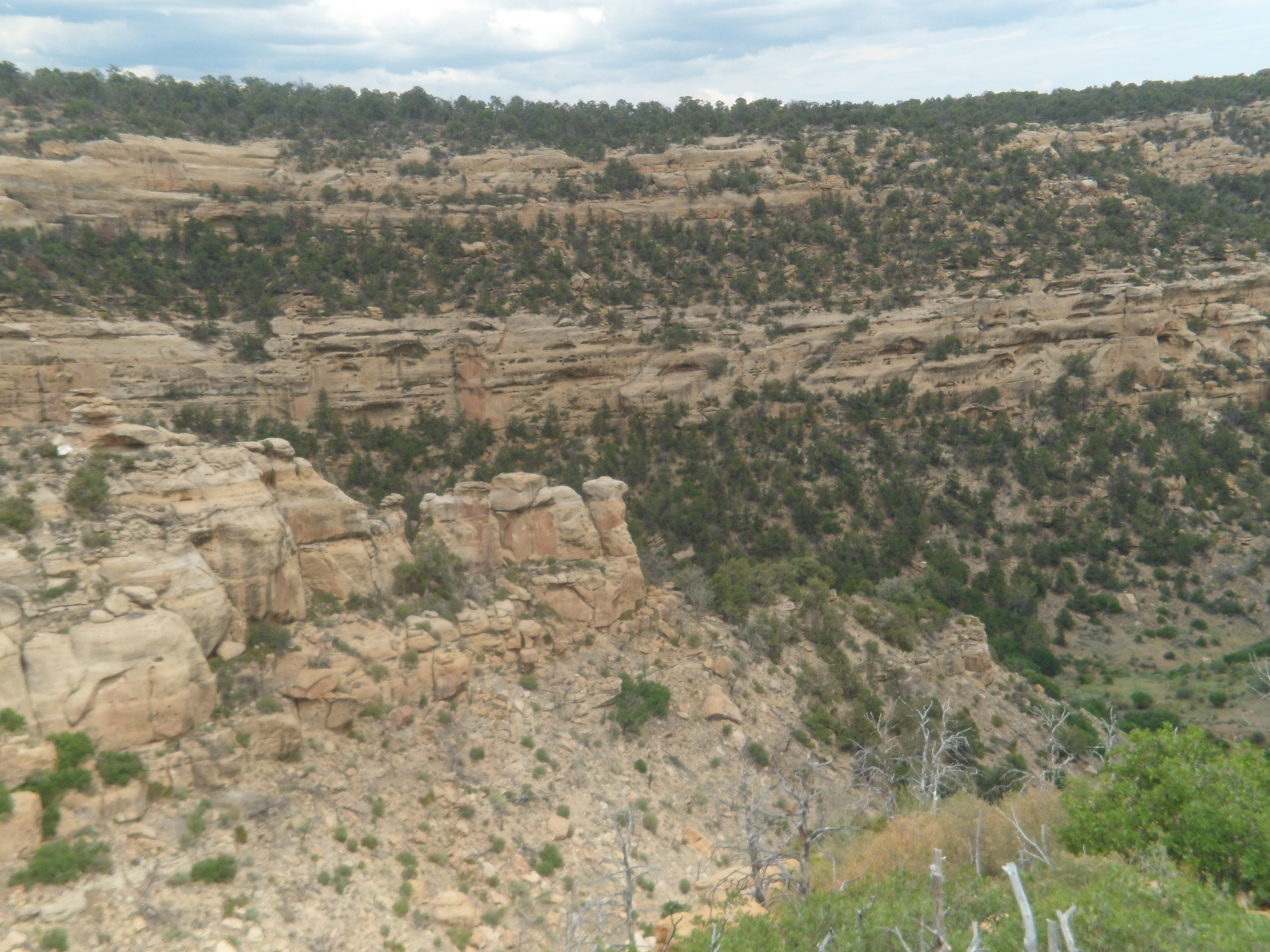
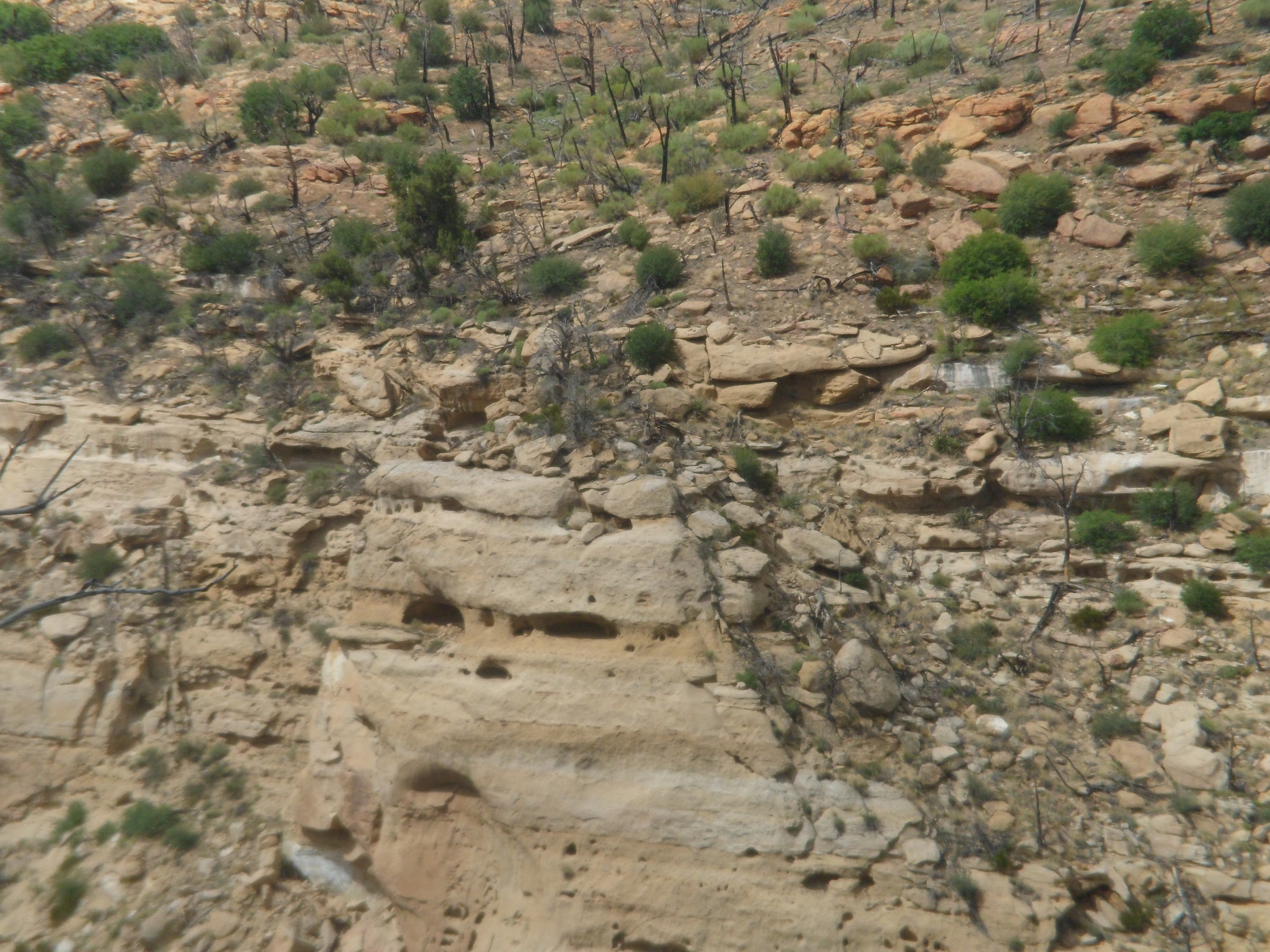
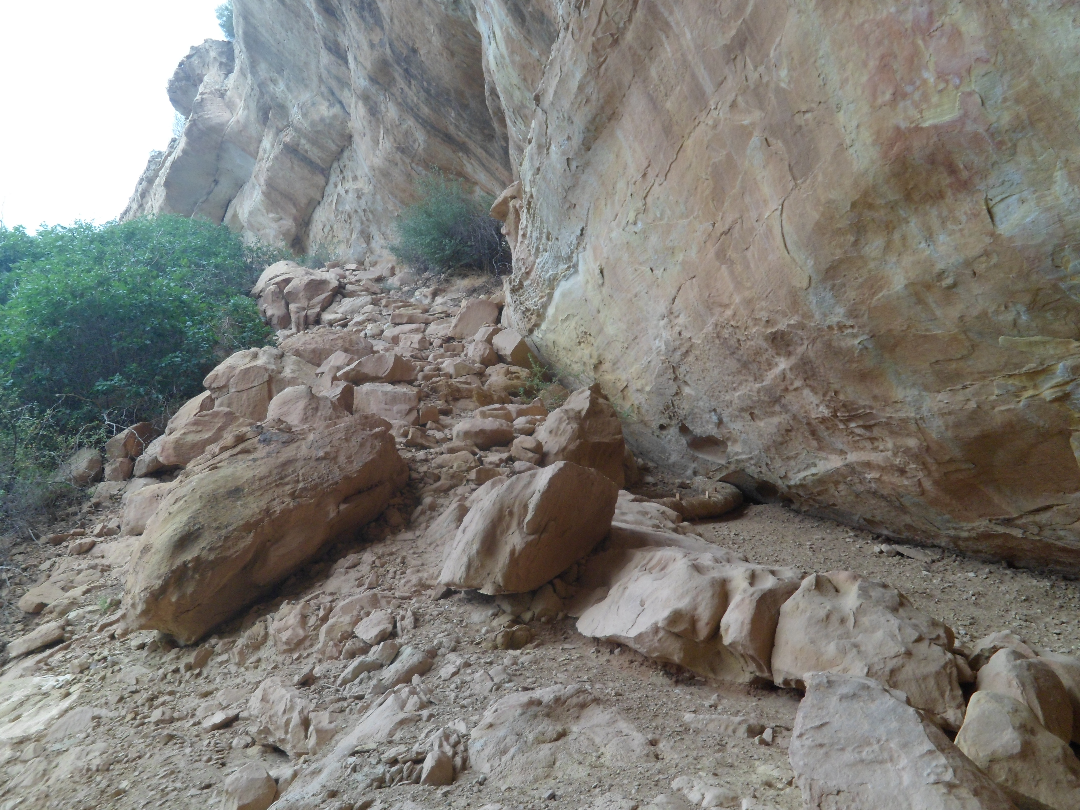
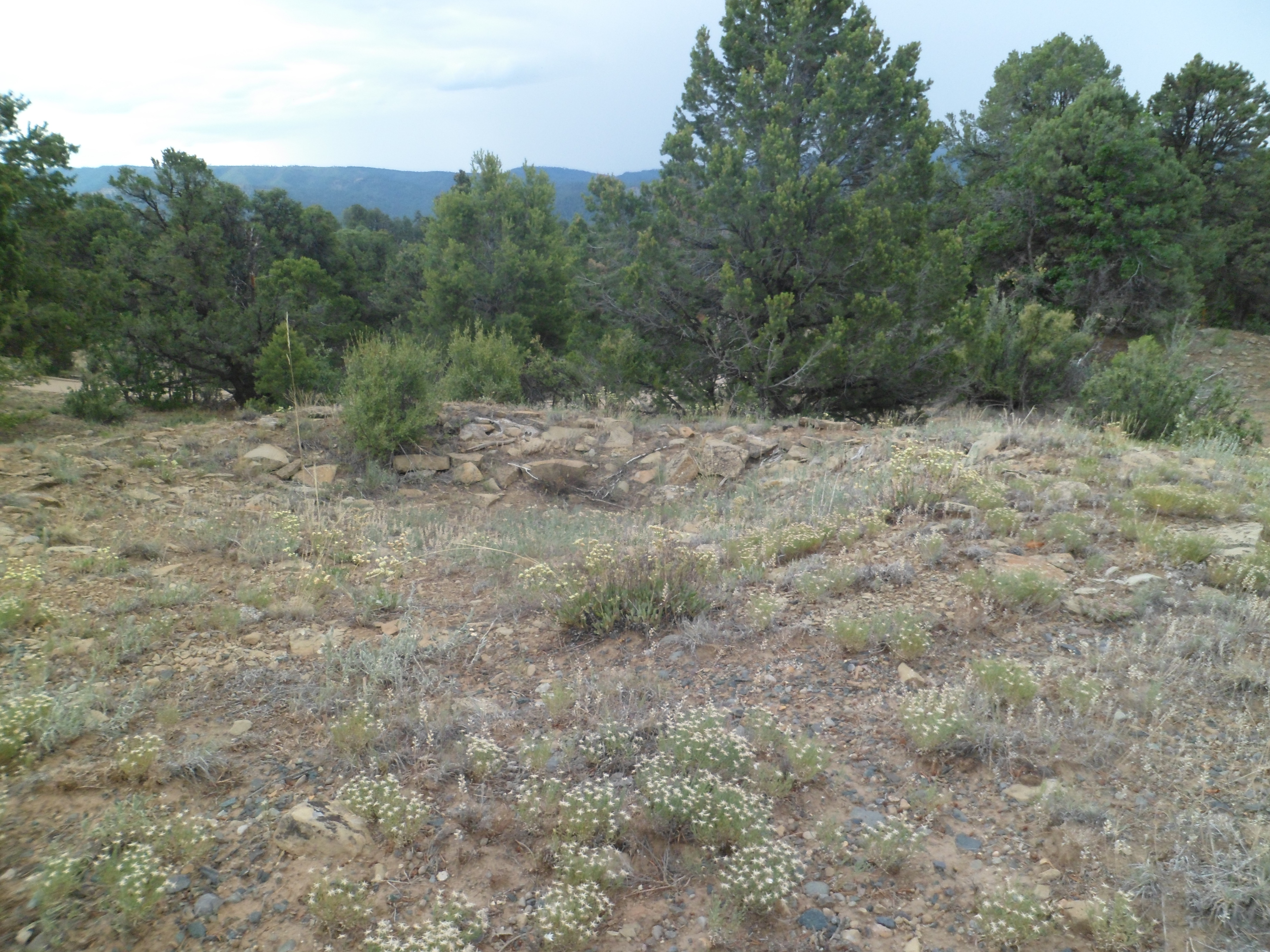
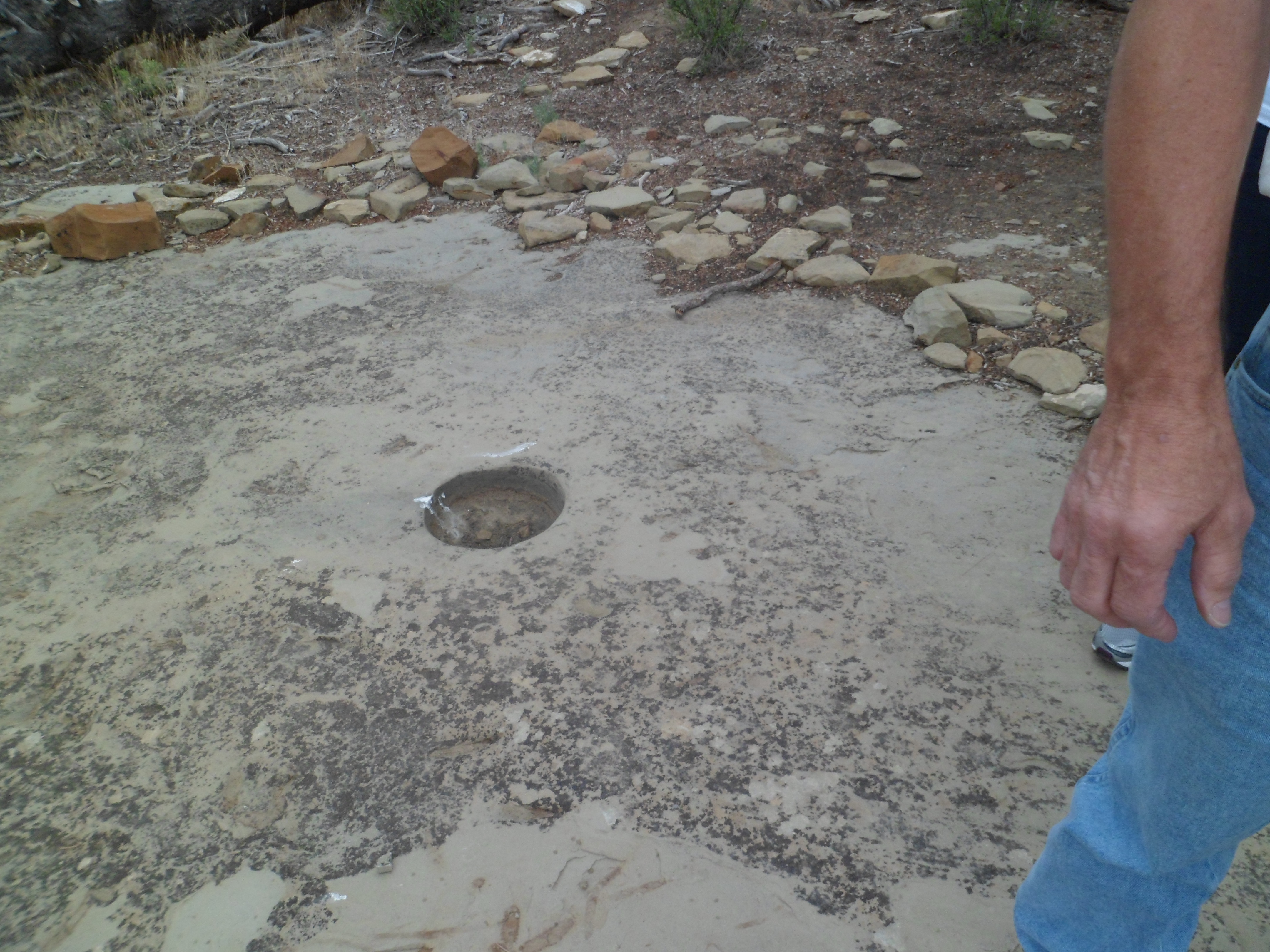
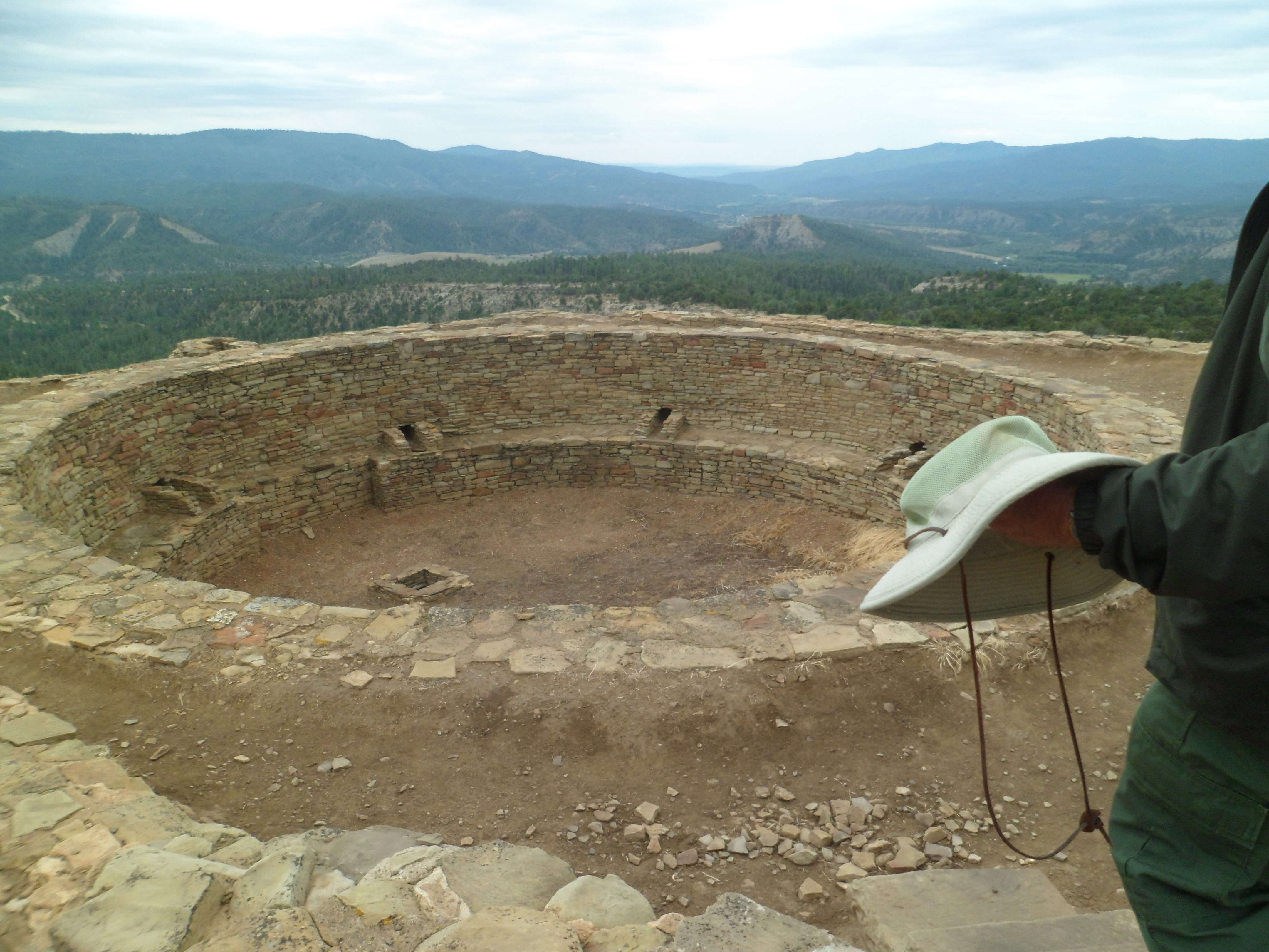
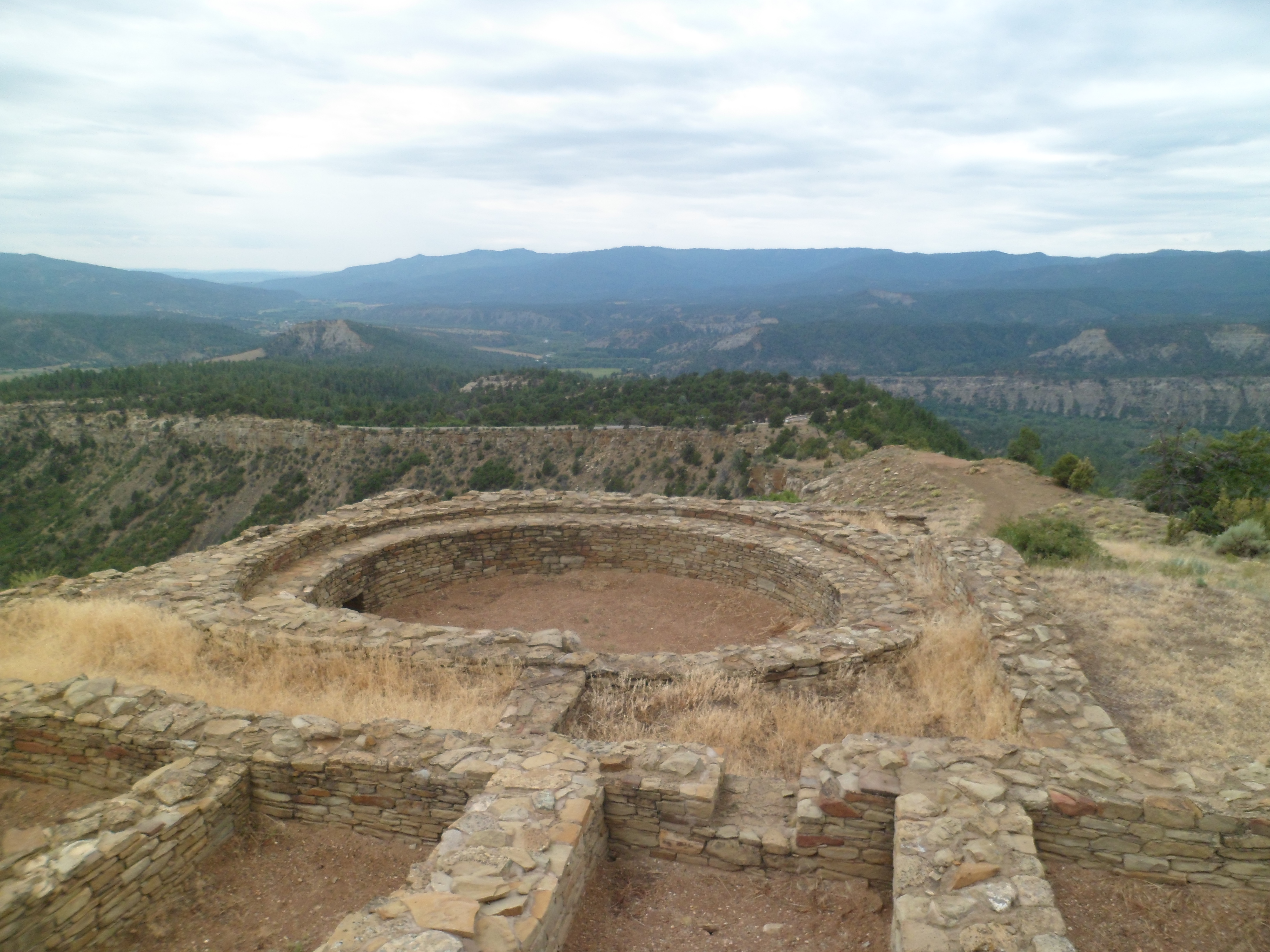
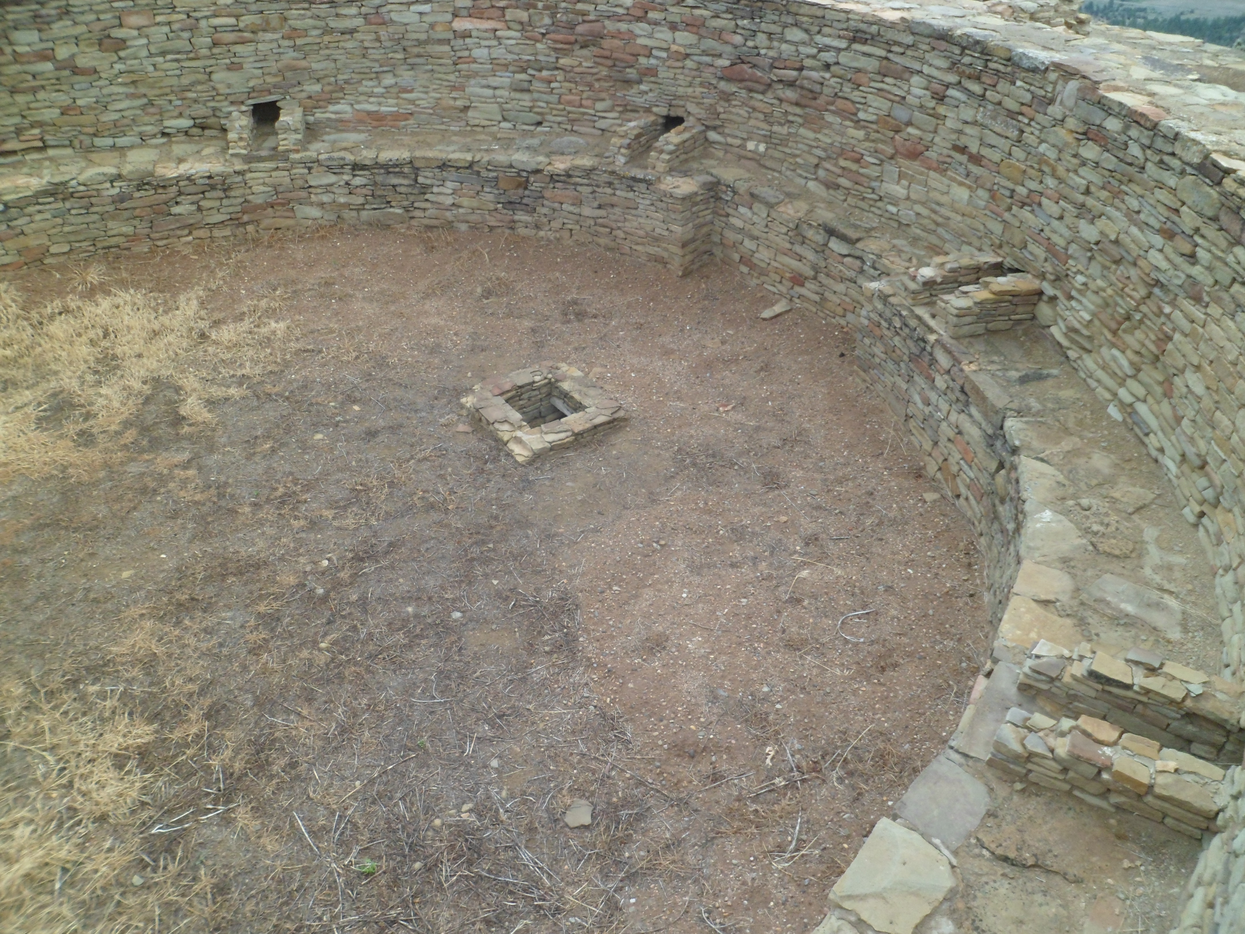
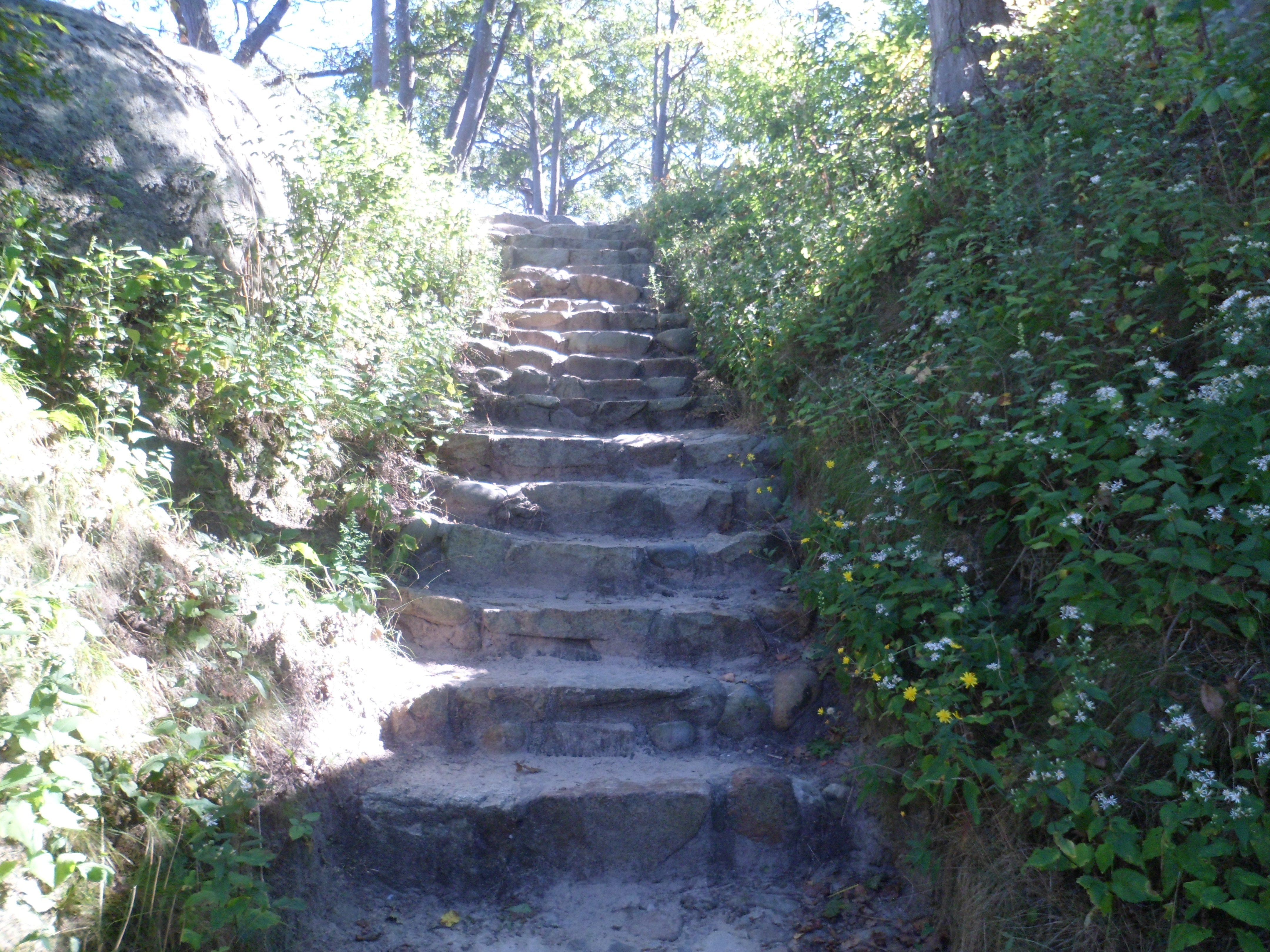
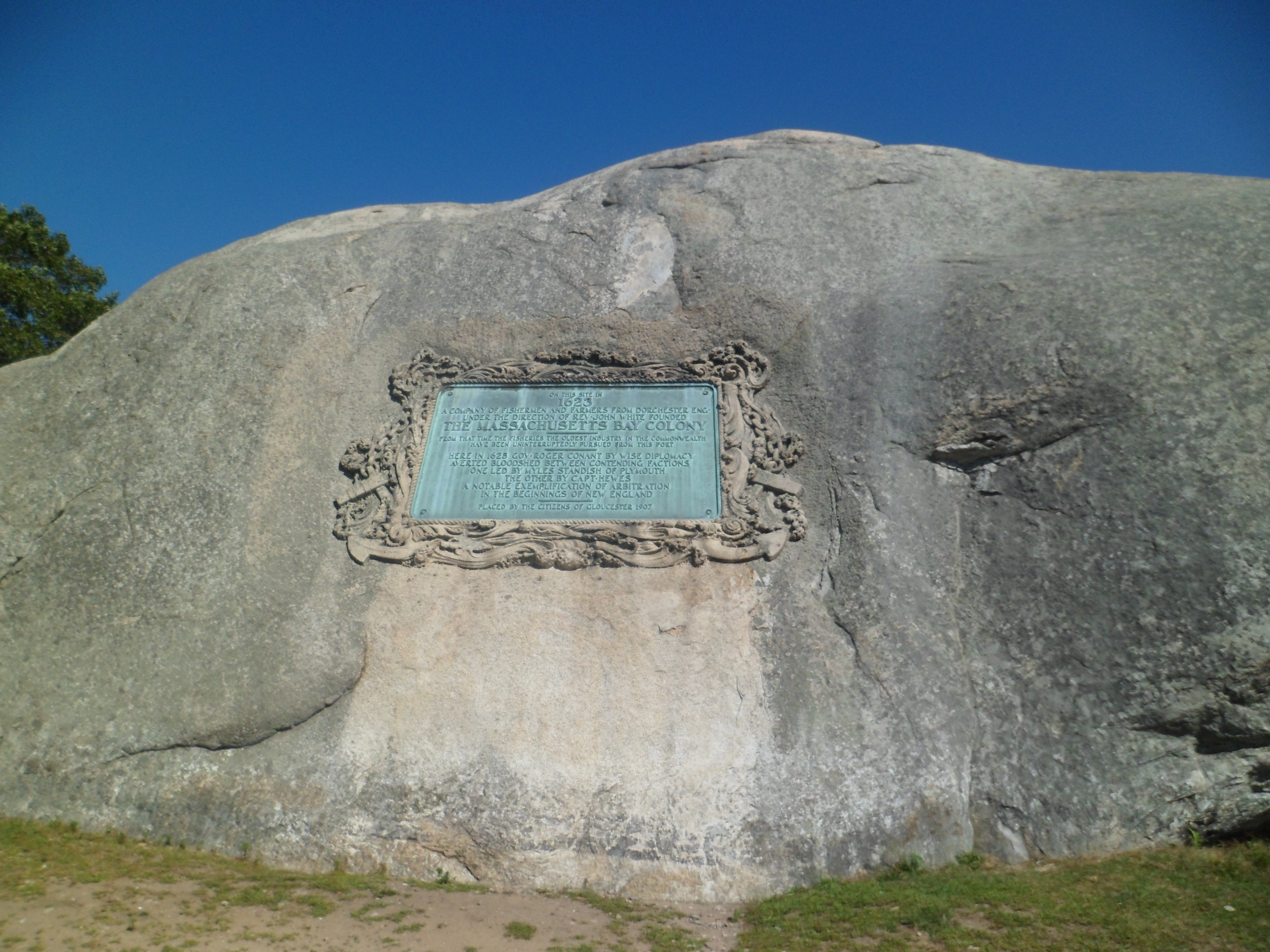
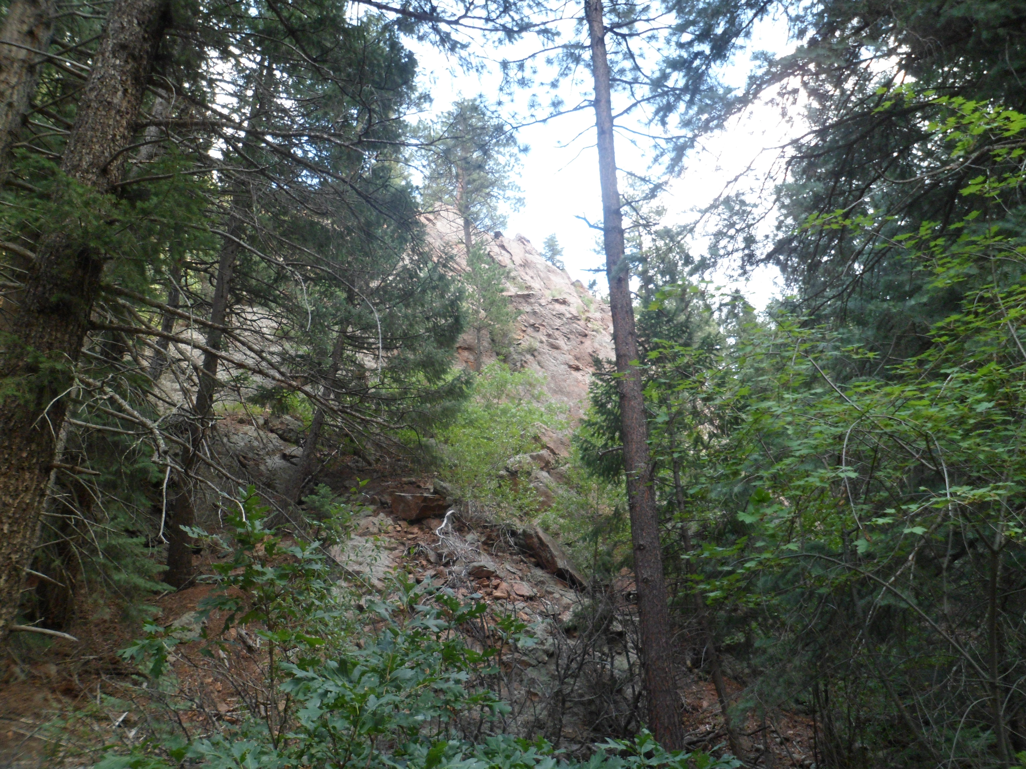
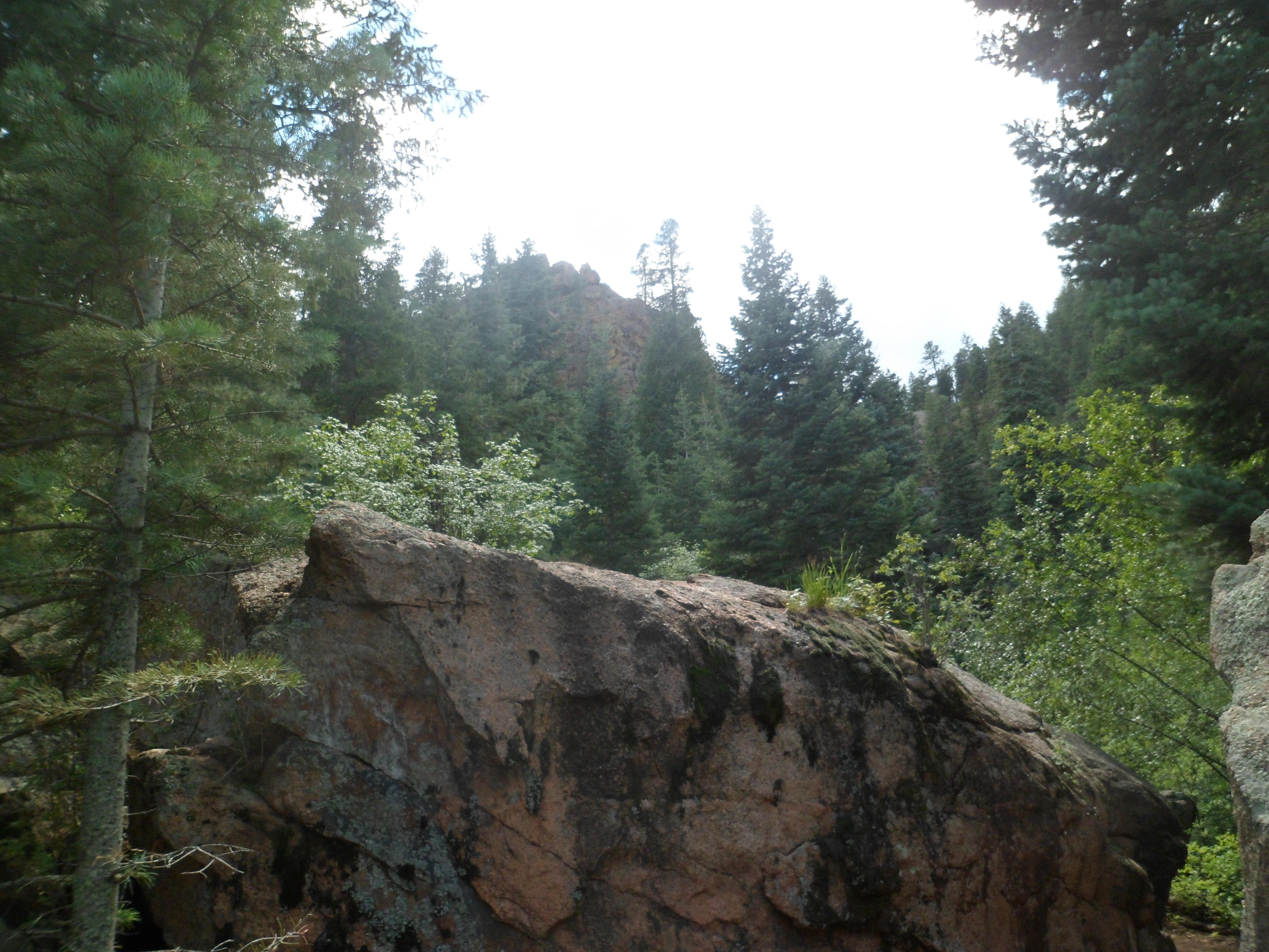
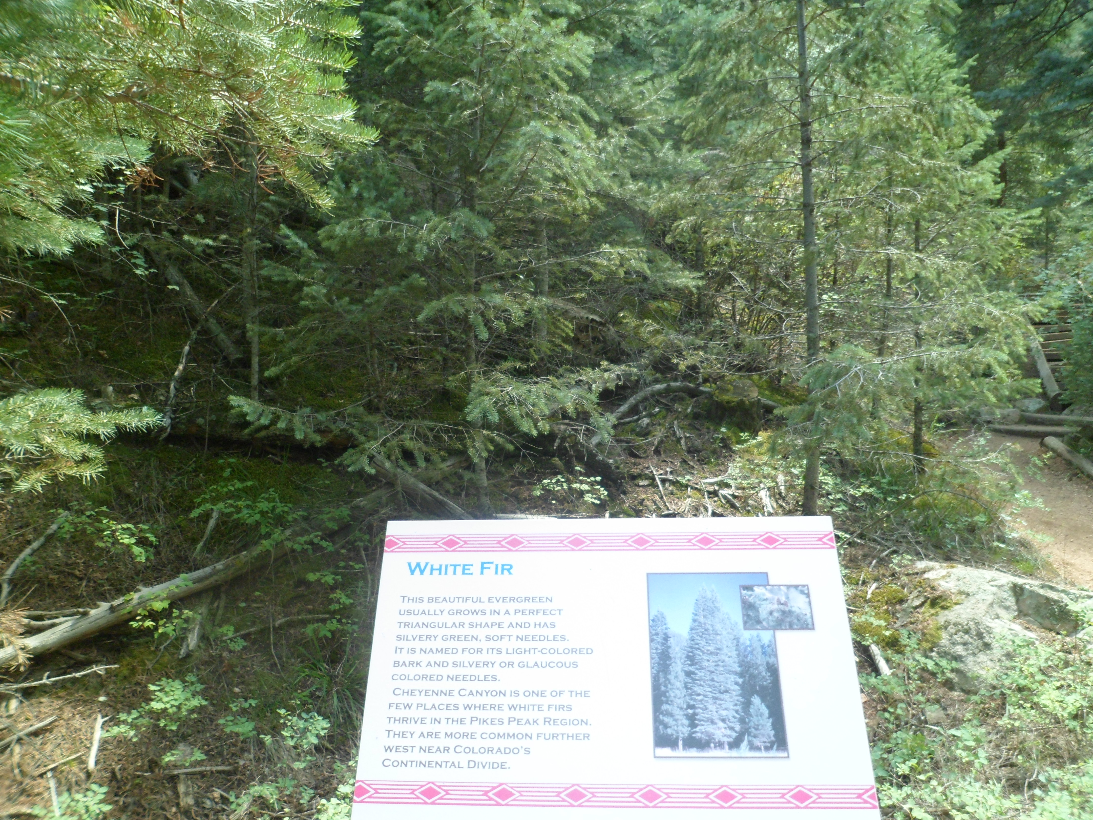
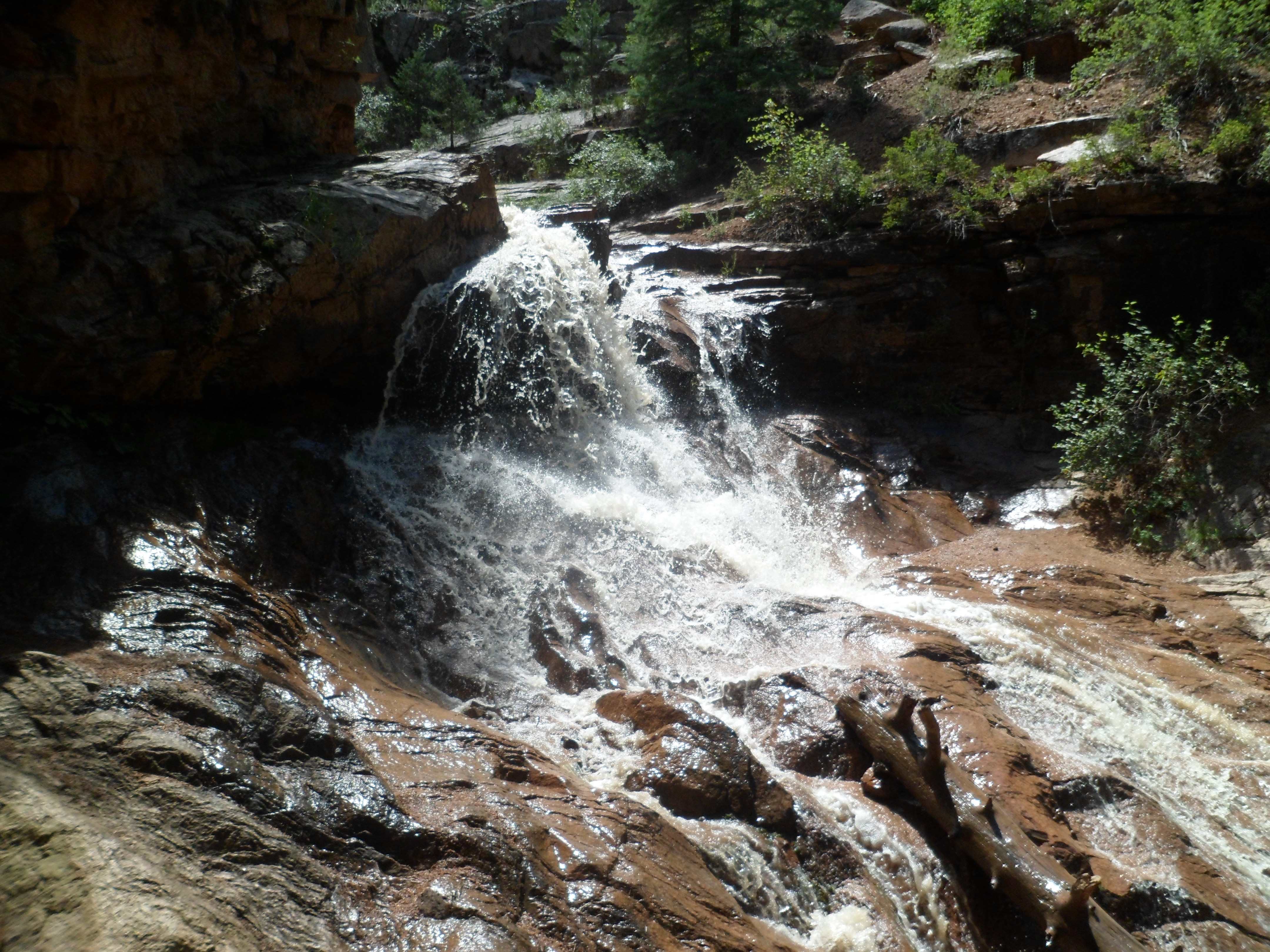
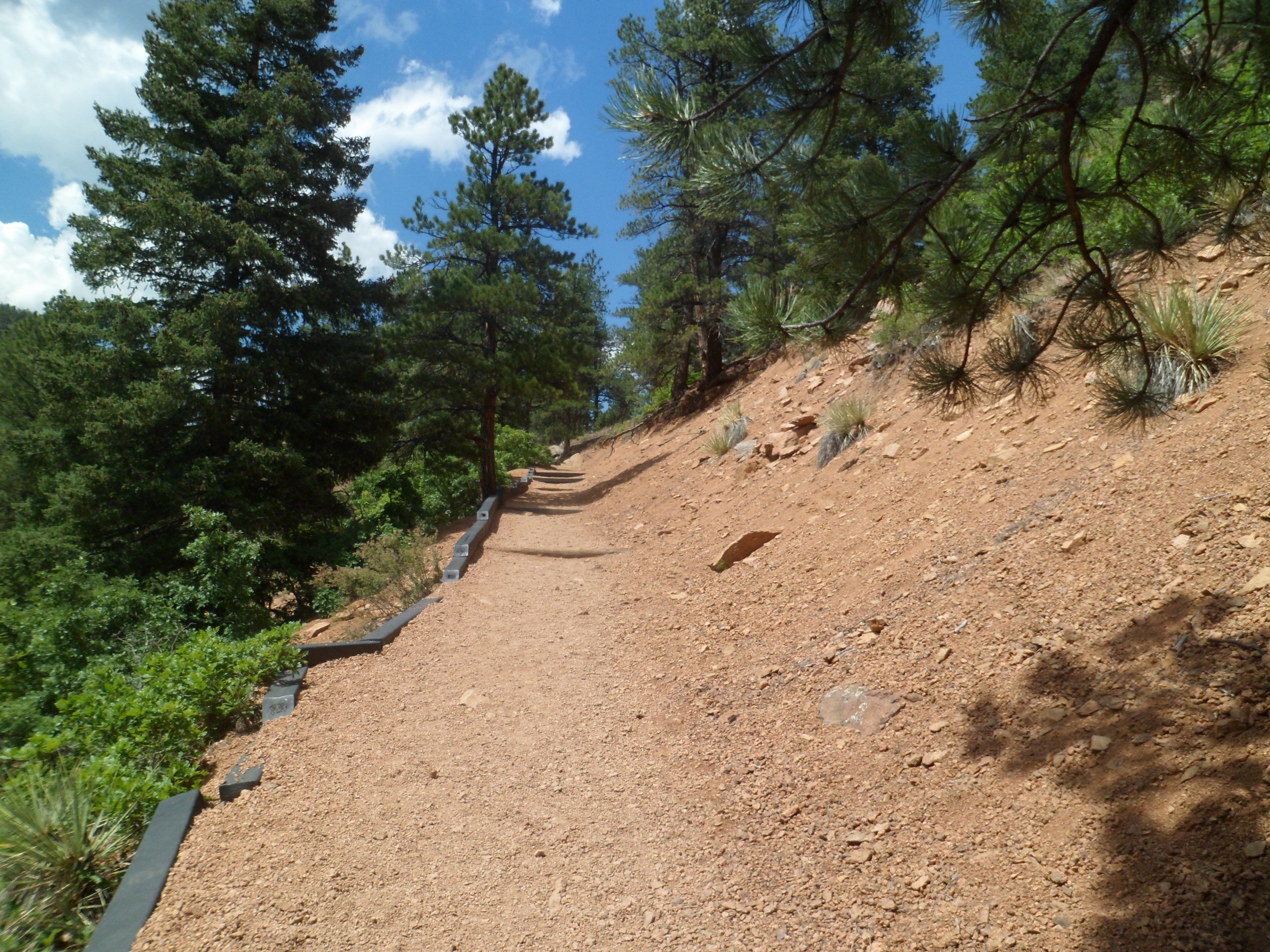
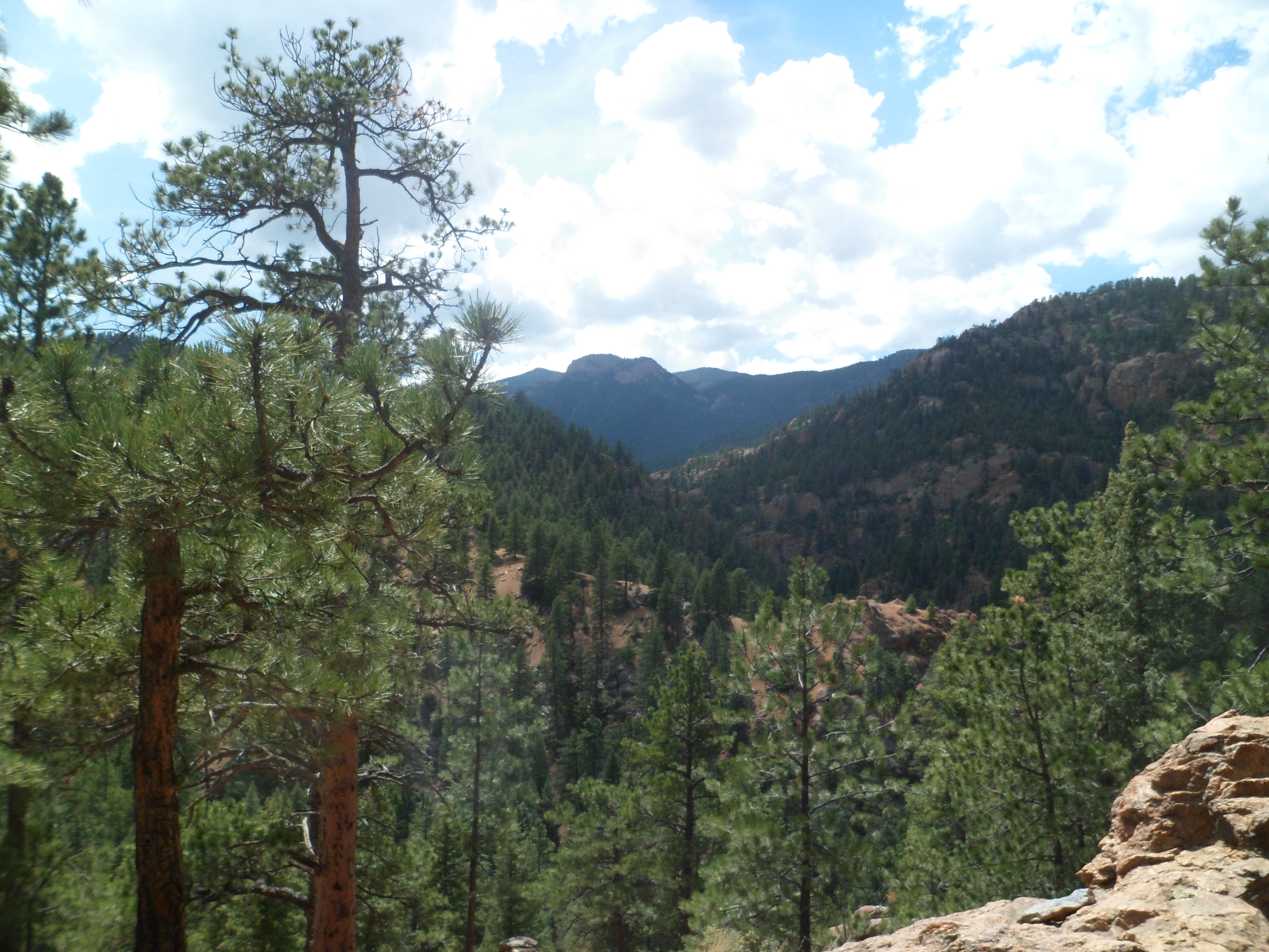
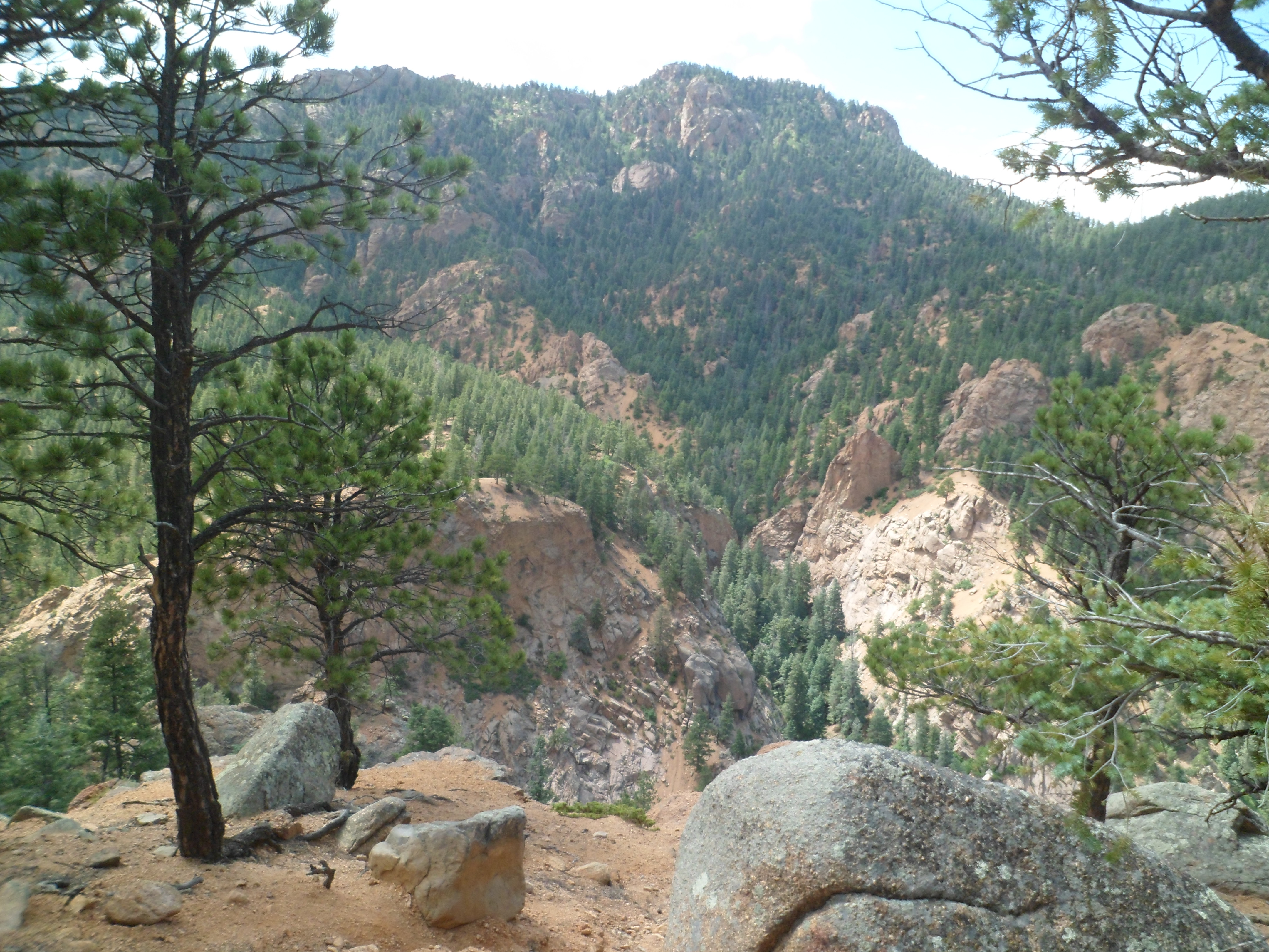
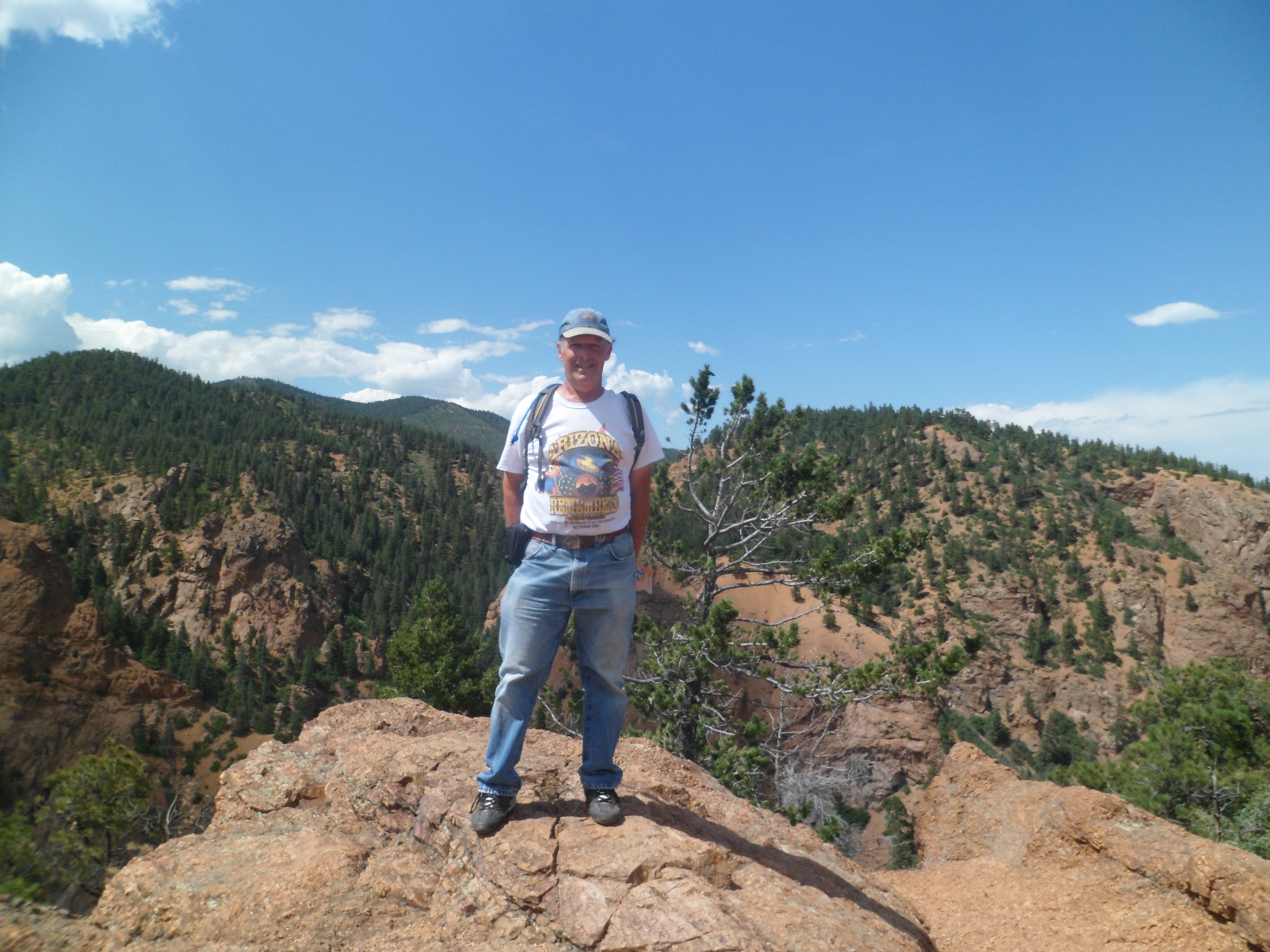
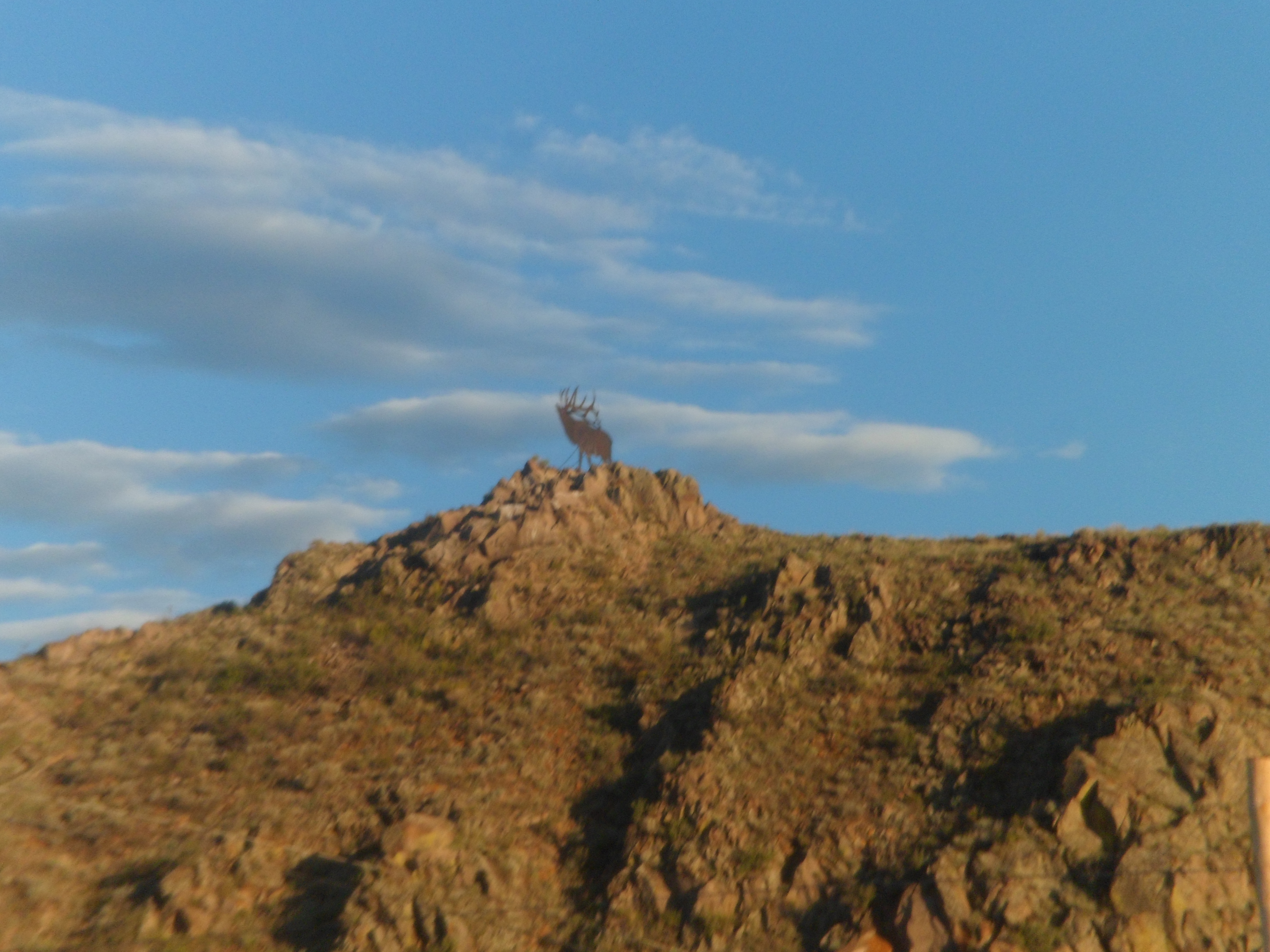
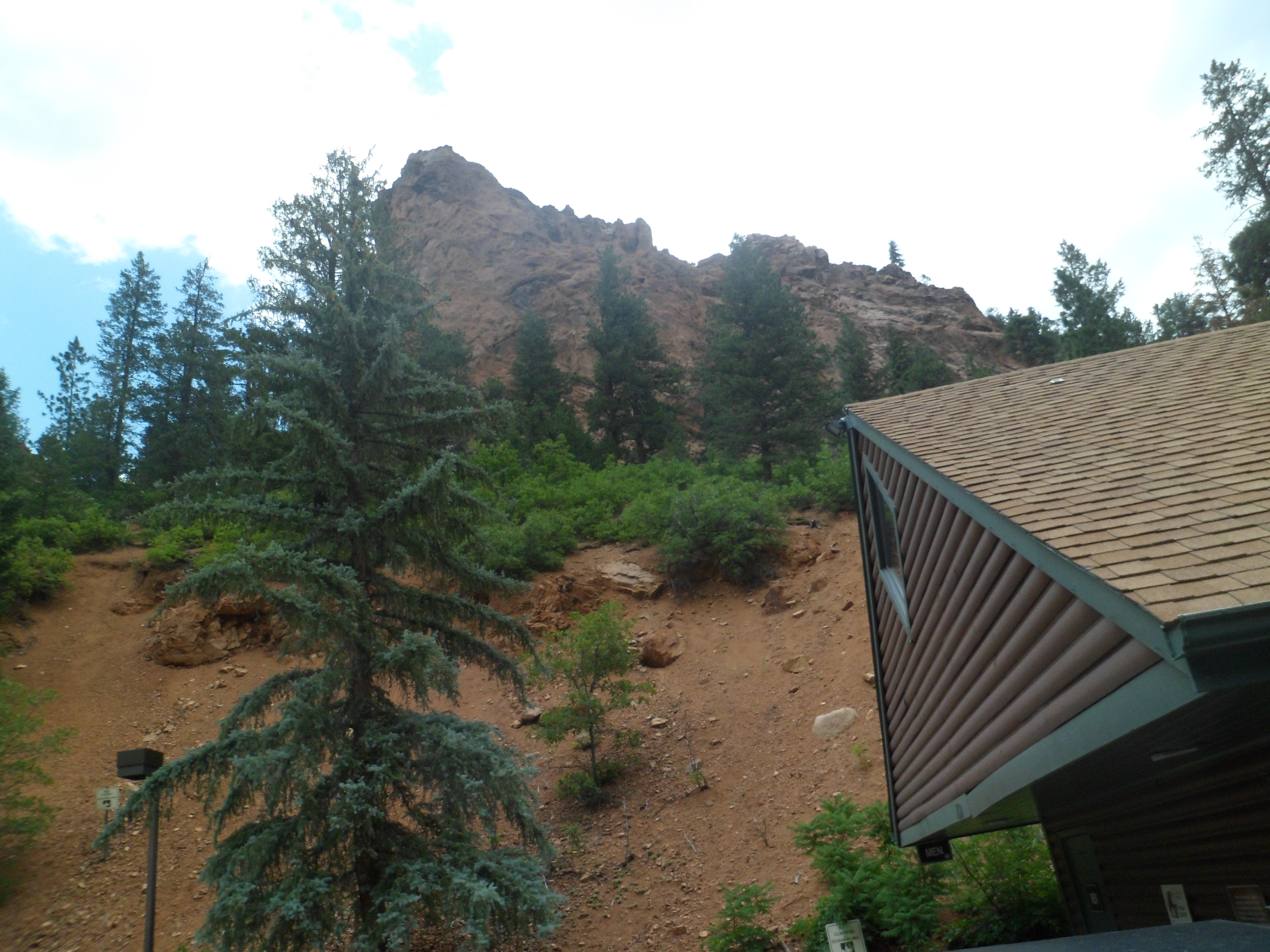
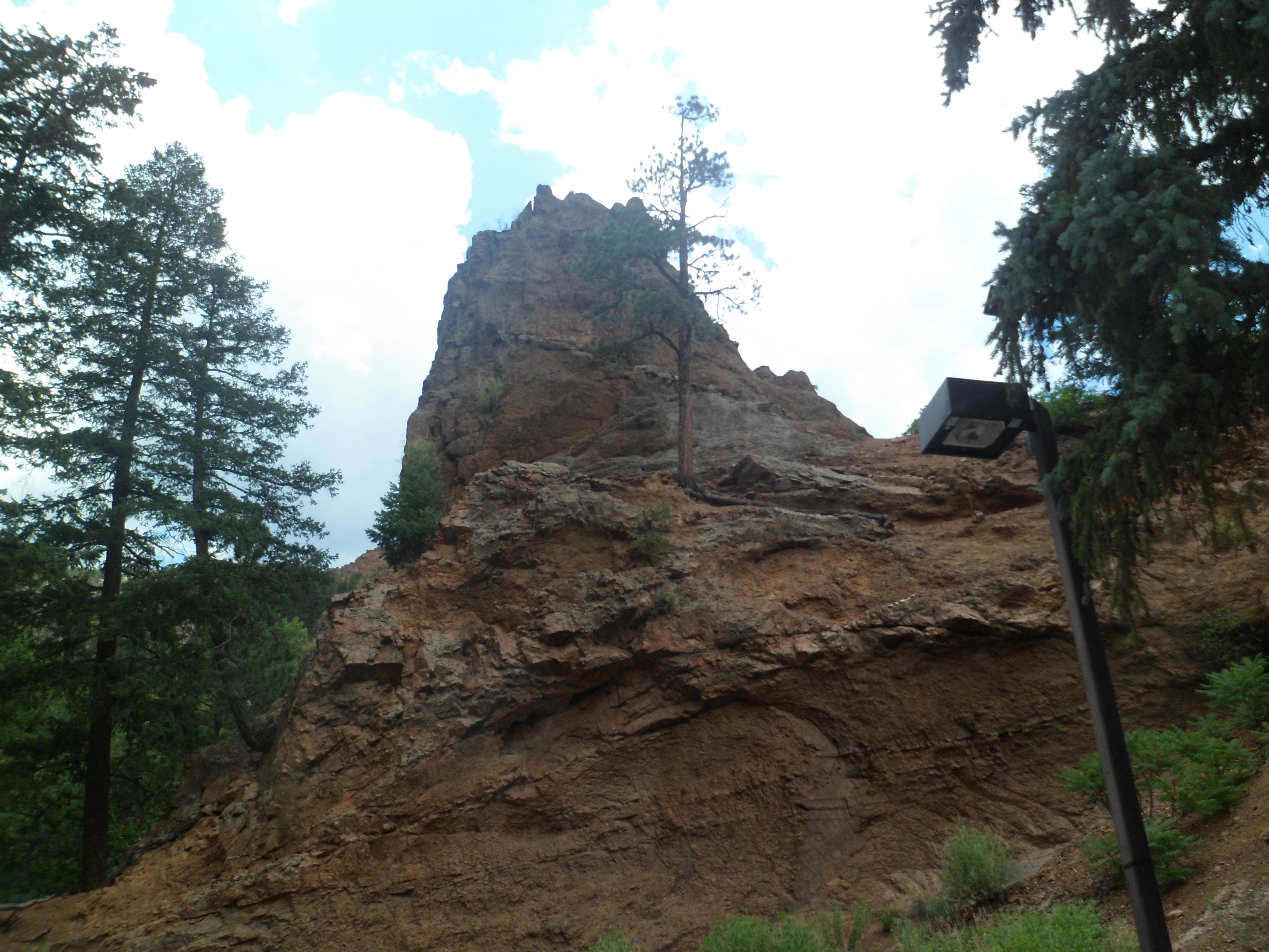
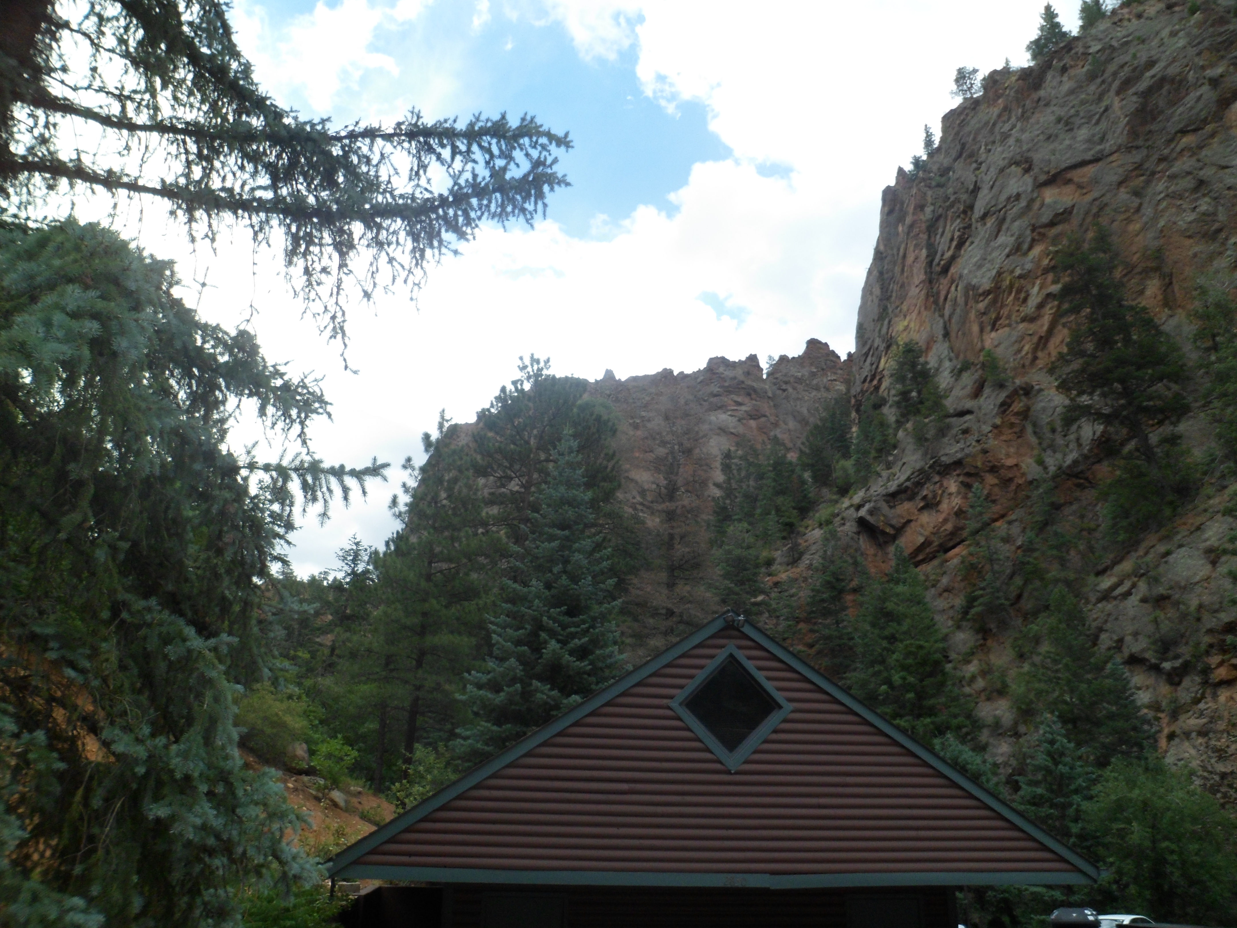
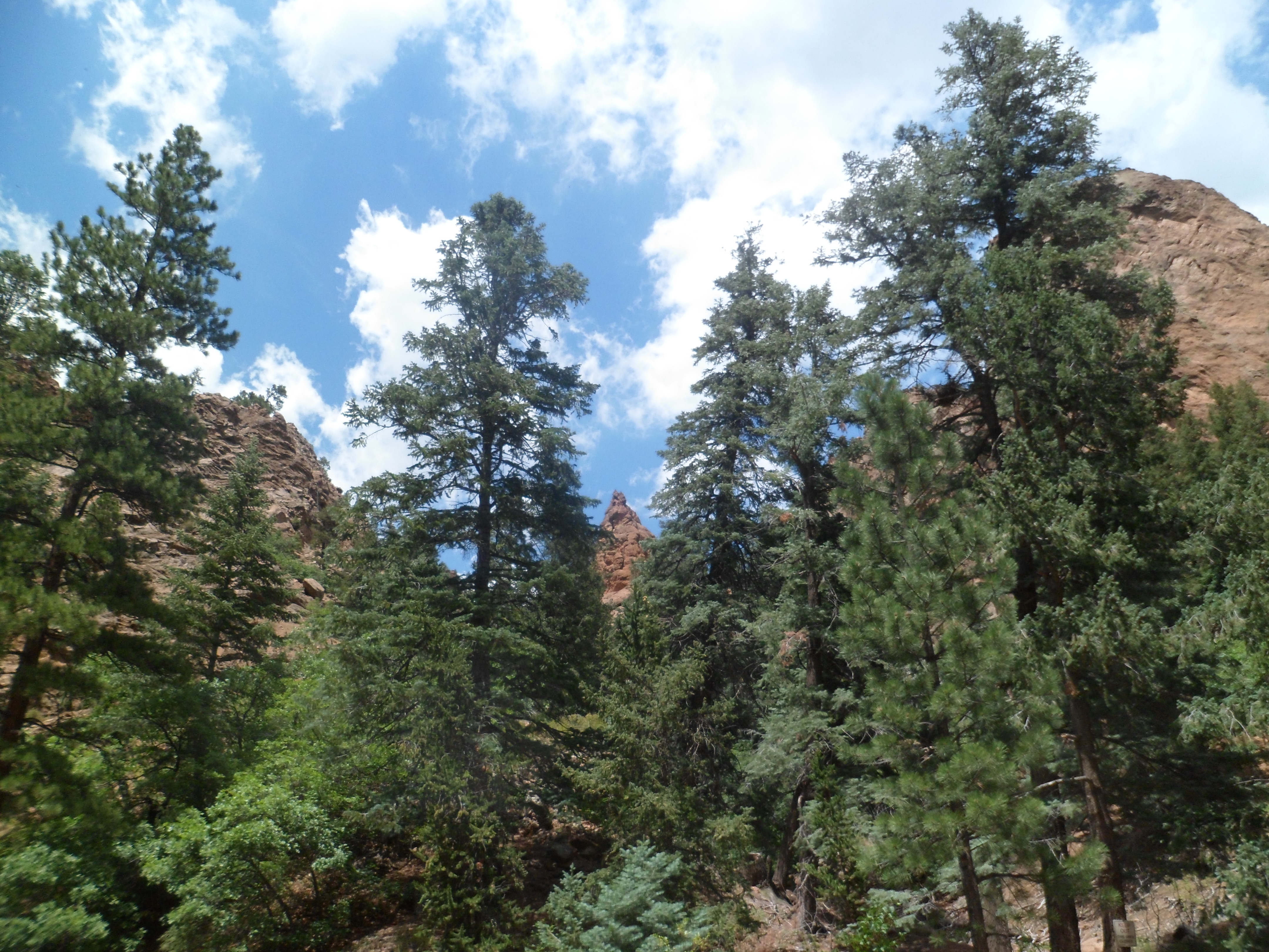
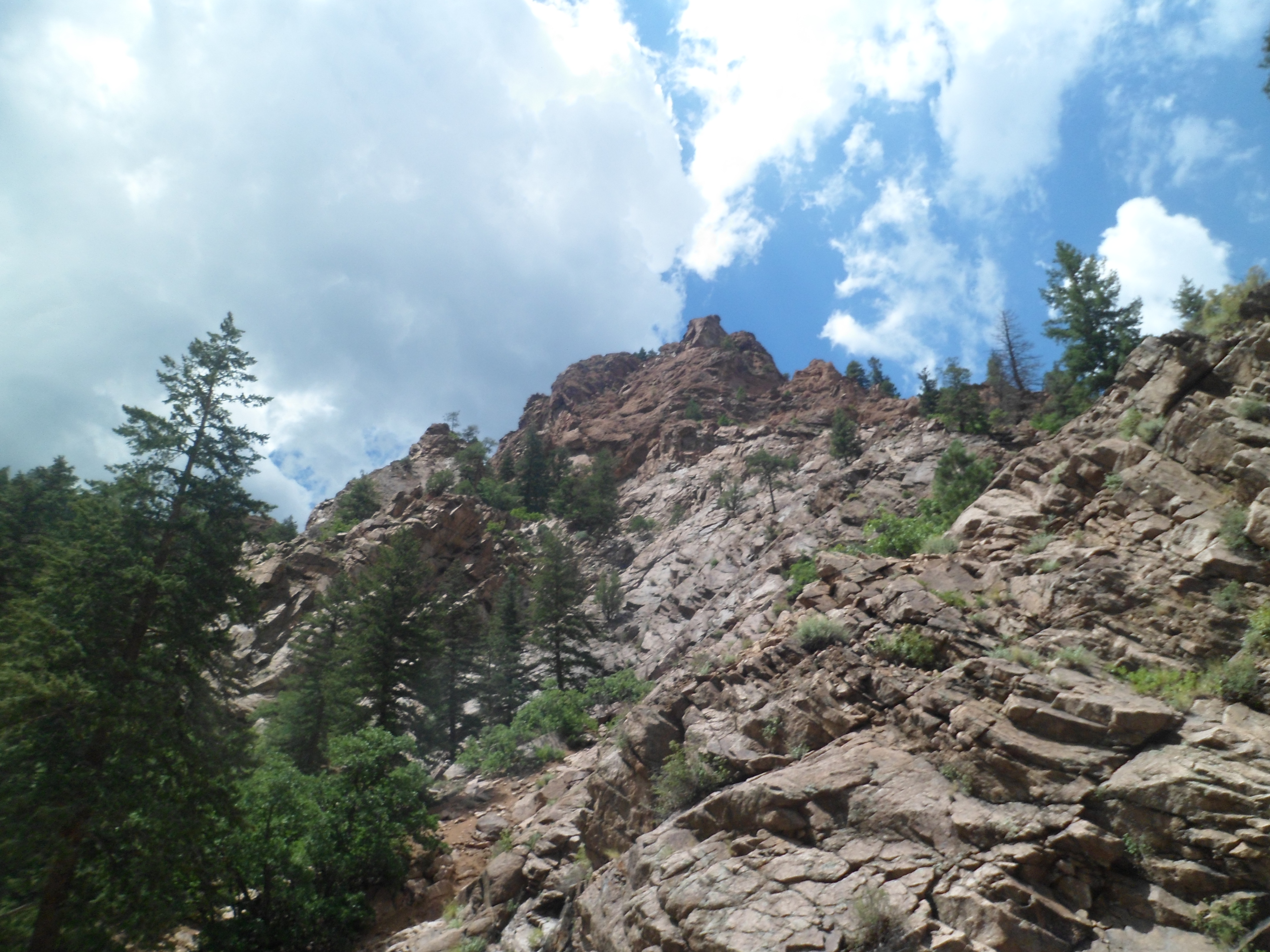
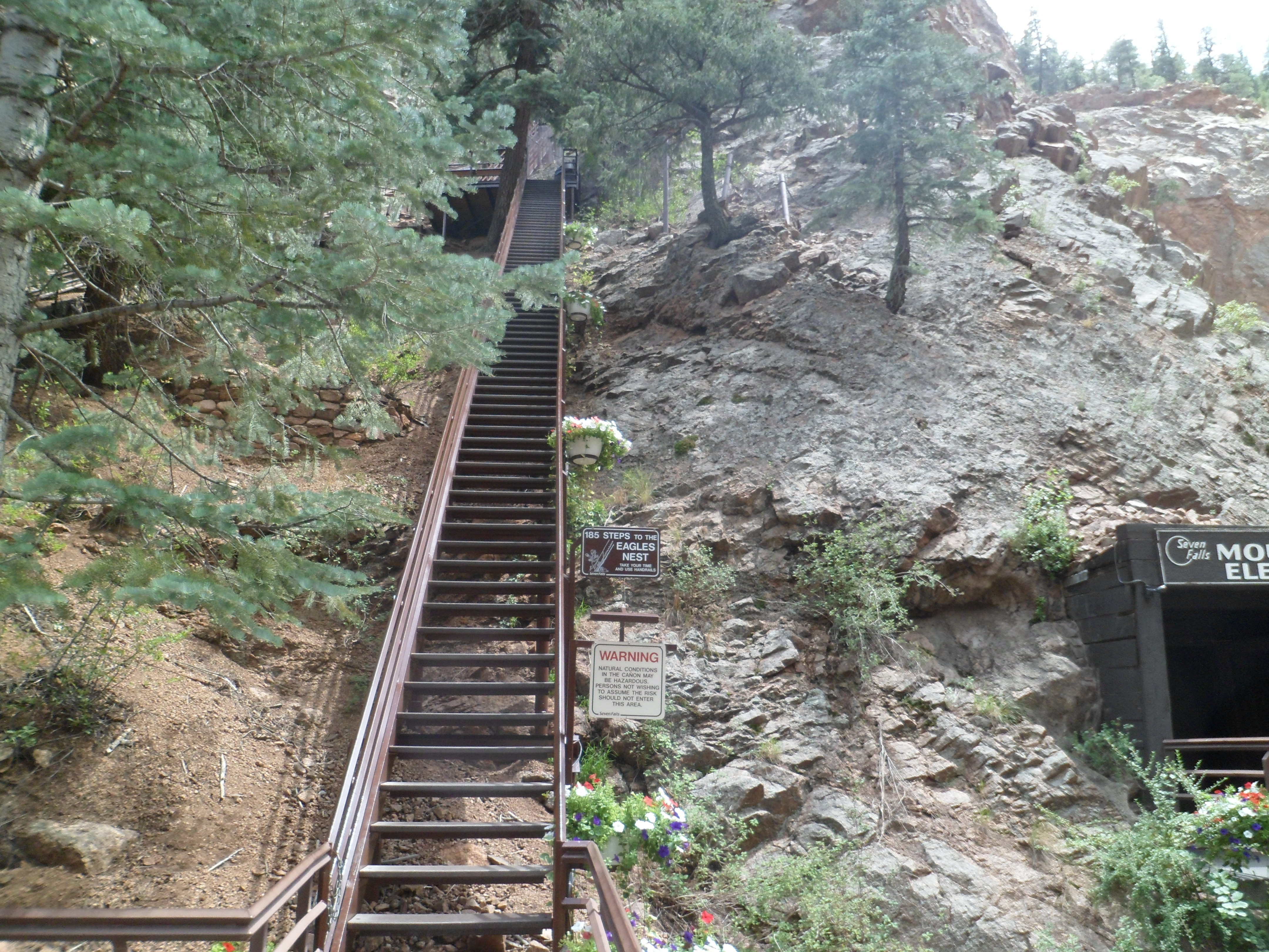
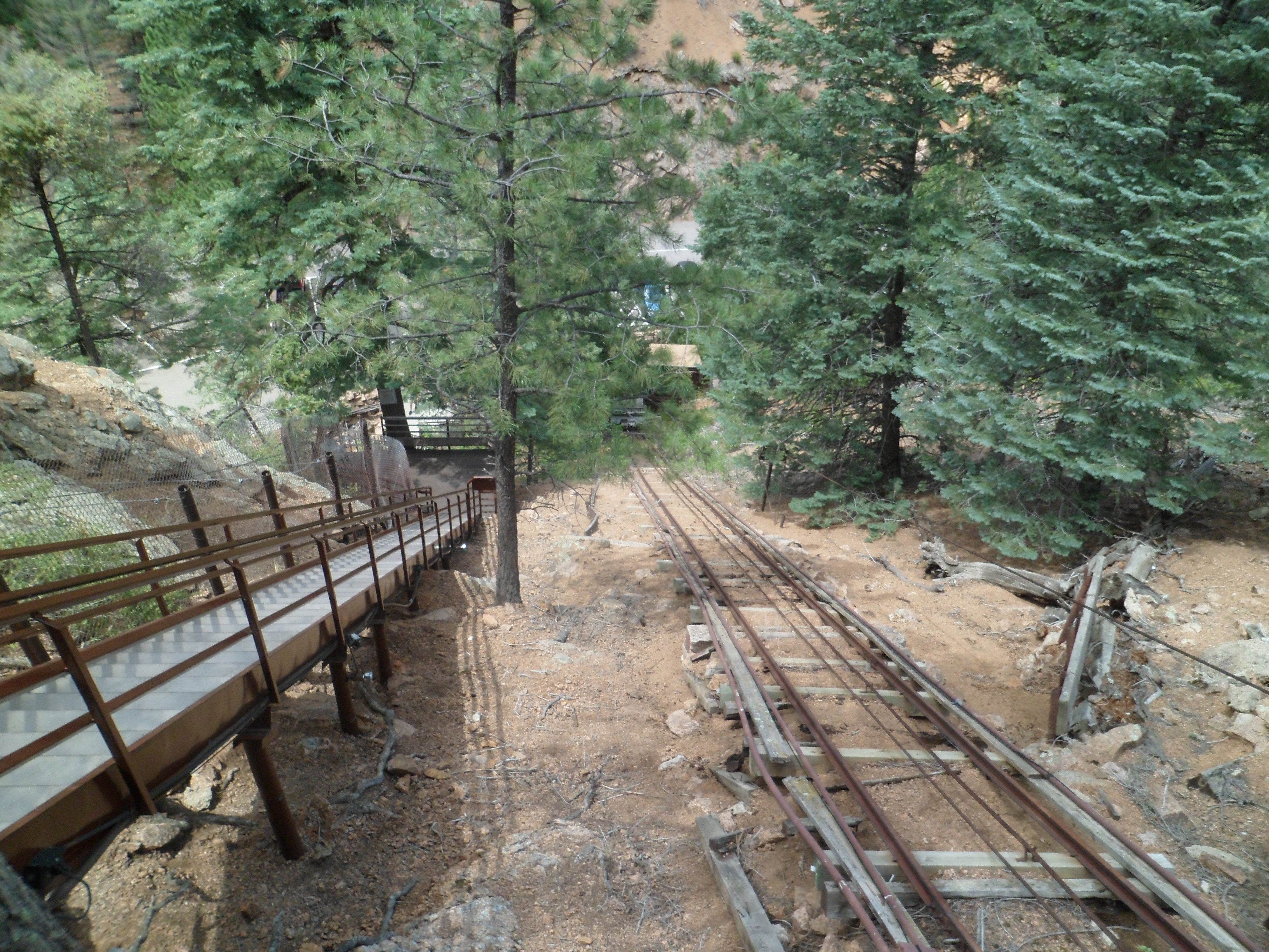
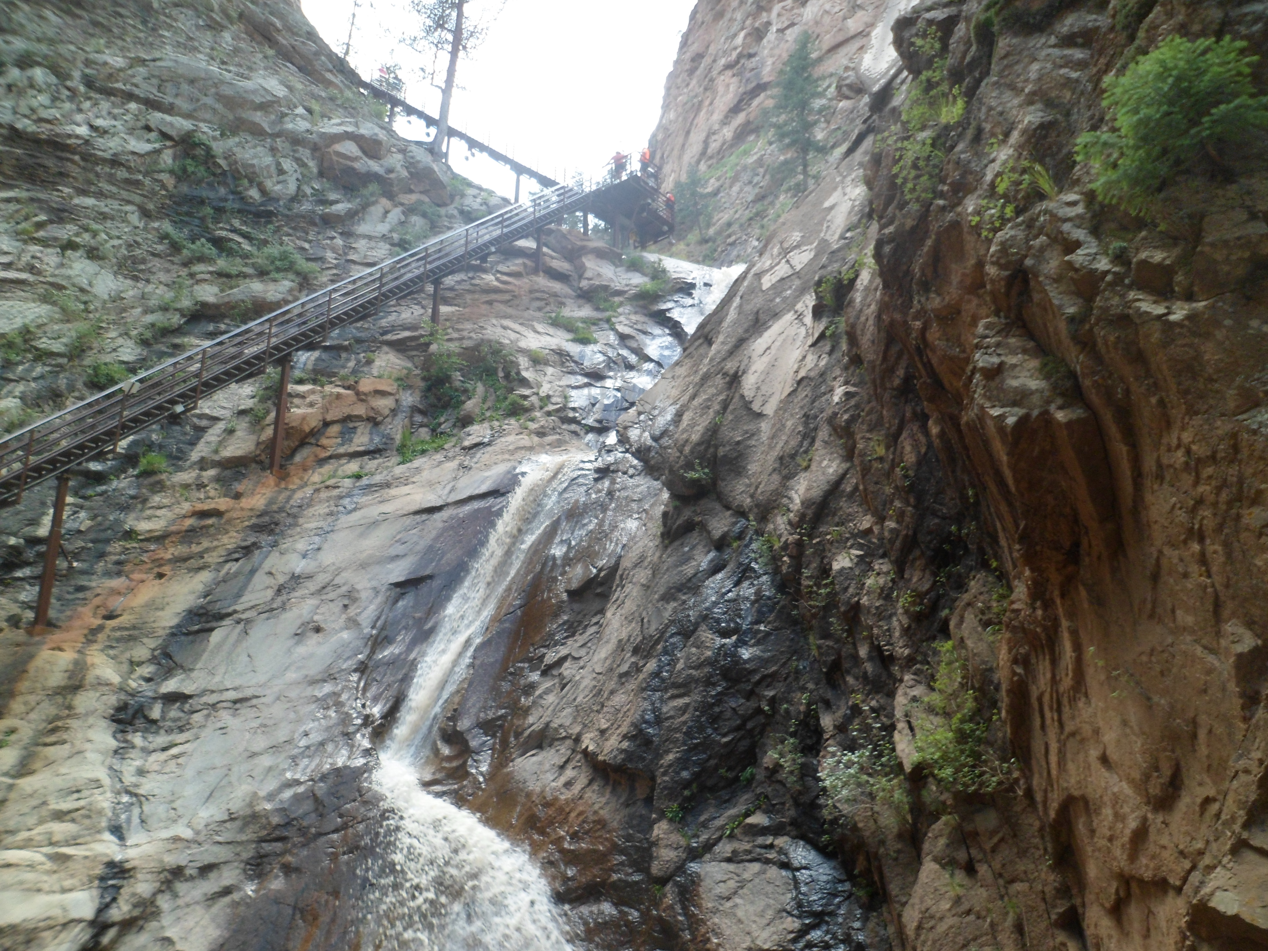
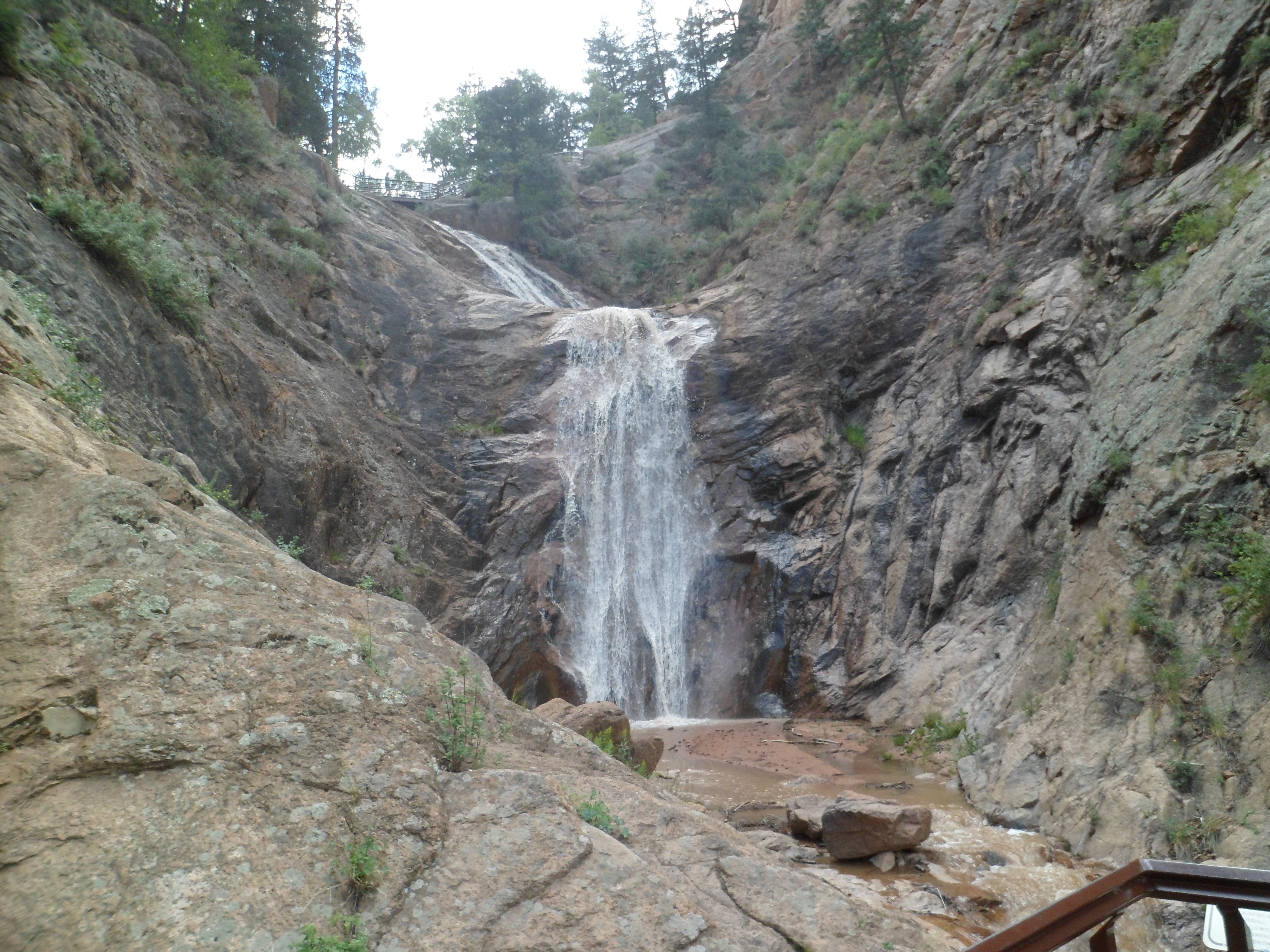
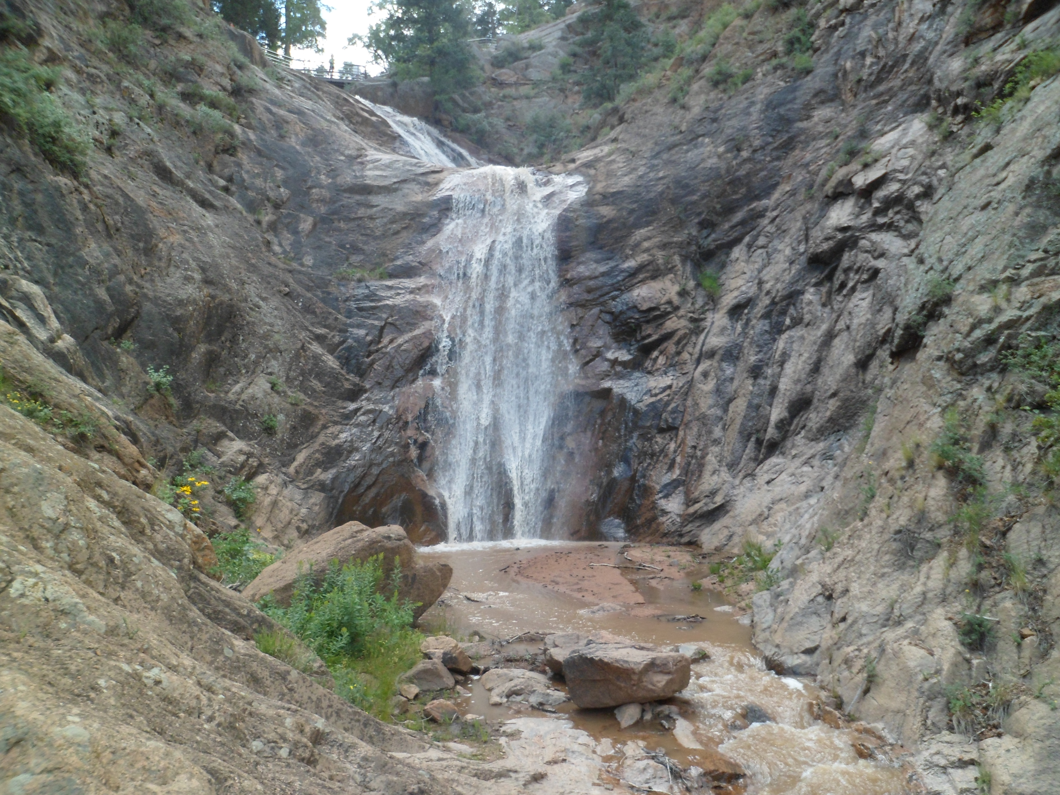
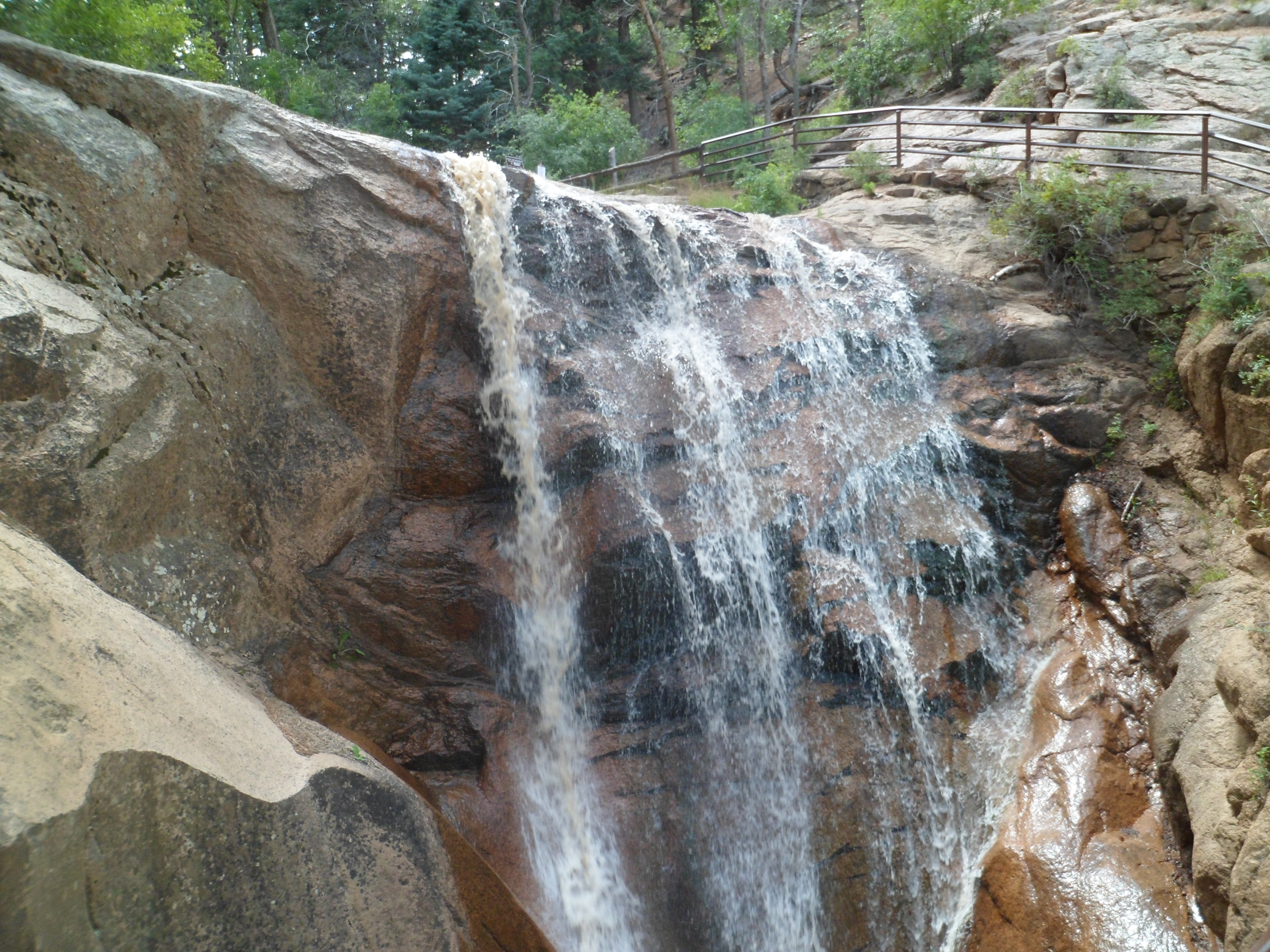
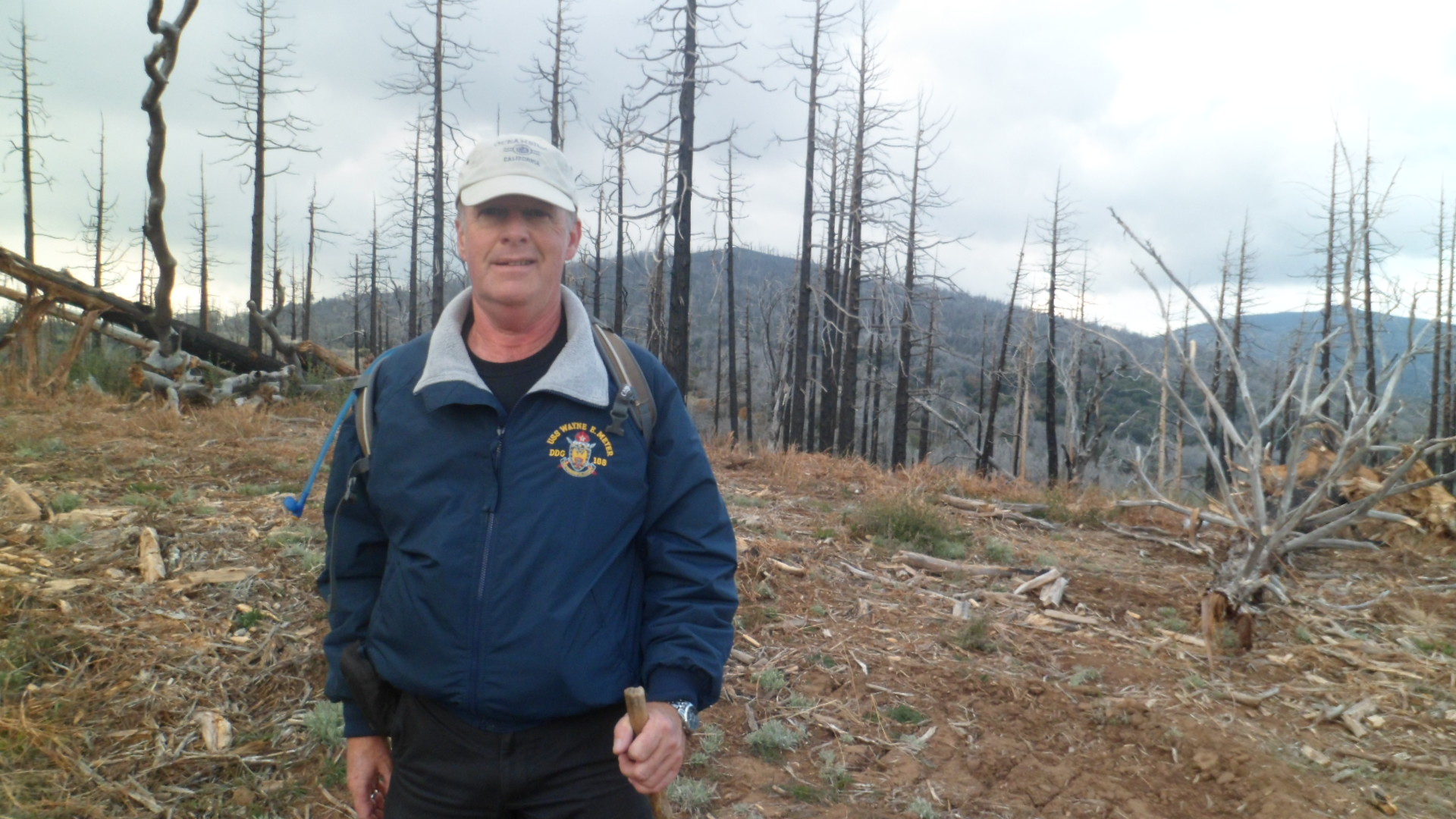
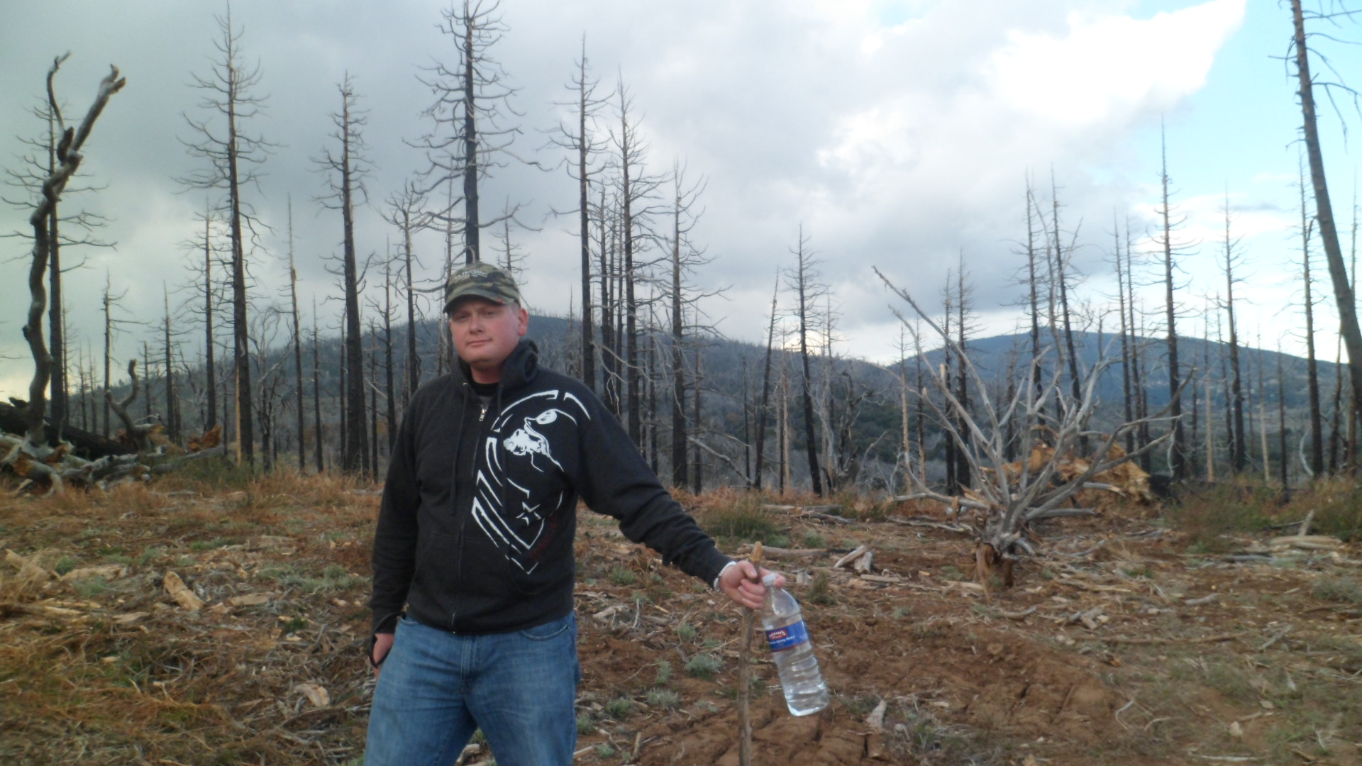
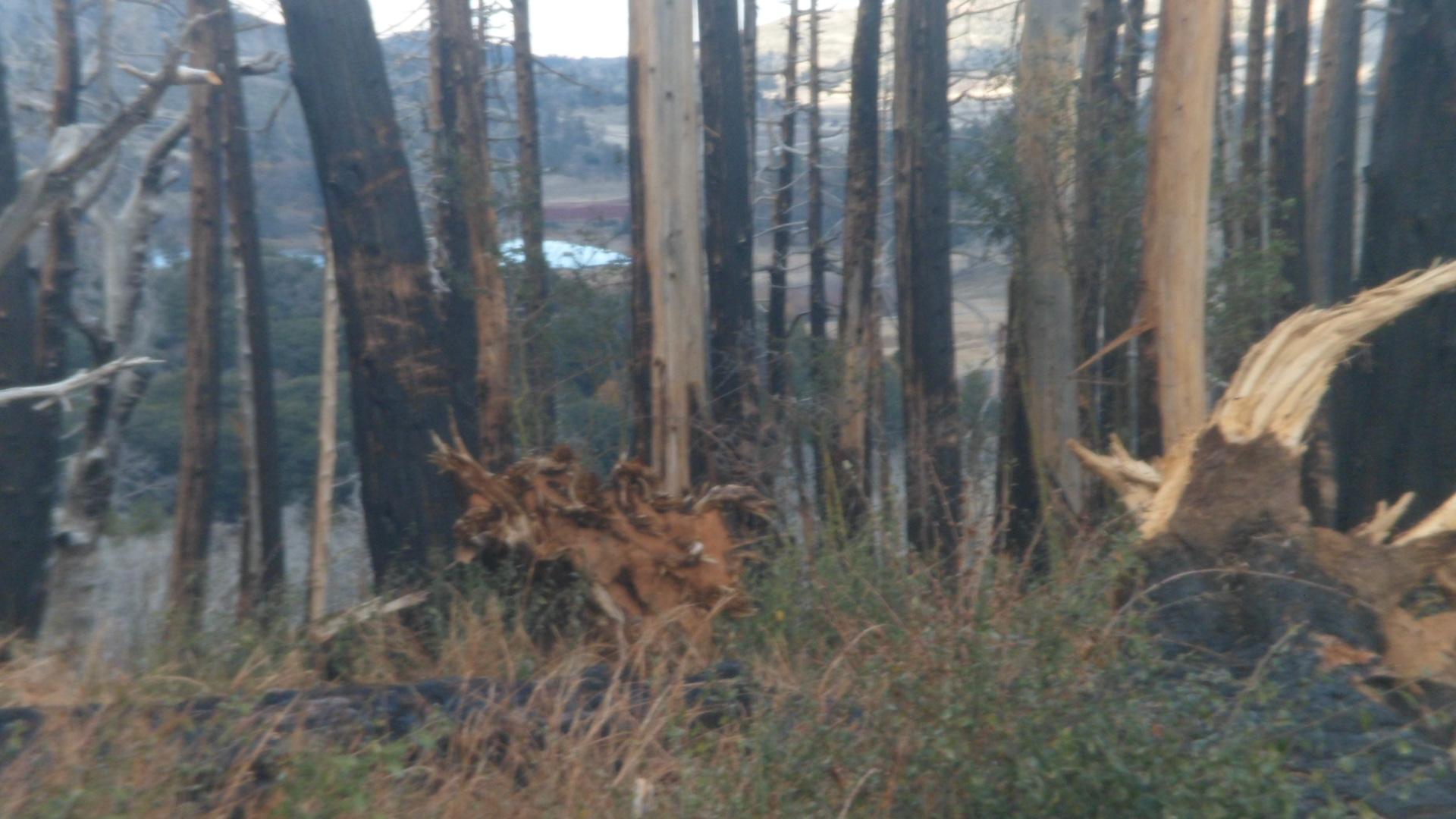
Thursday, Thanksgiving et al, was spent on the trail.  The venue was Cuyamaca Park, a section of Anza-Borrego State Park, in the foothills of the Laguna Mountains, east of San Diego.  There was a serious forest fire here, about three years ago.  We were  just happy to get out and enjoy the modest trails, even in the charred surroundings.

SAM_7445

SAM_7446

SAM_7438

SAM_7440

SAM_7441

SAM_7444

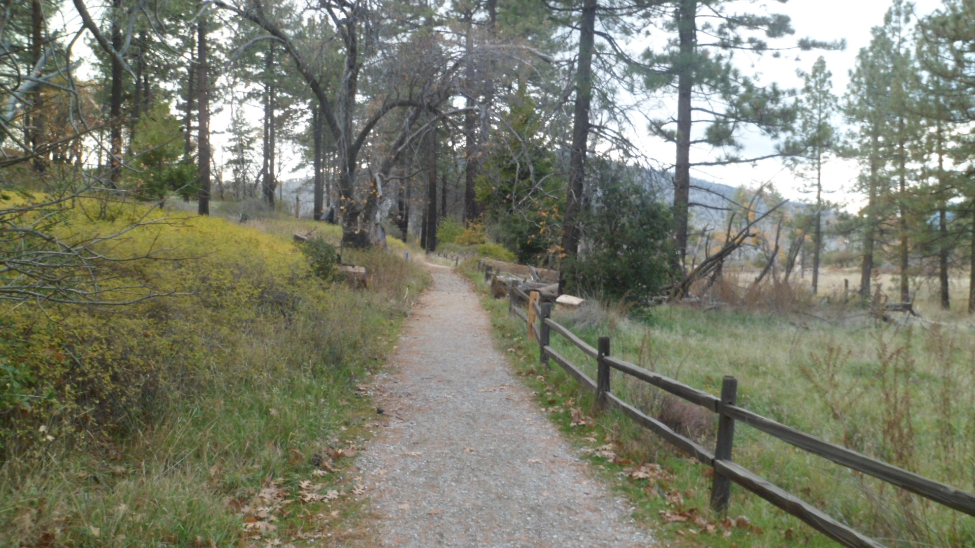
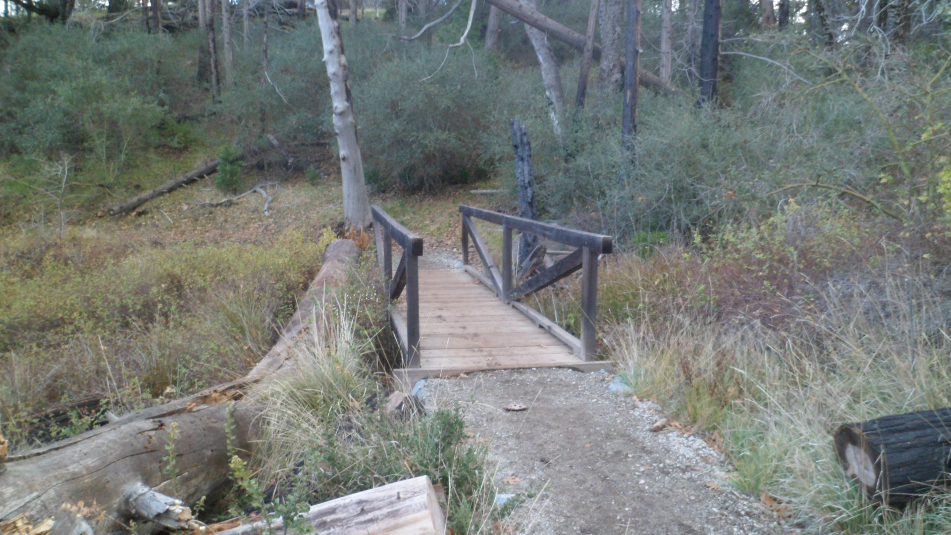
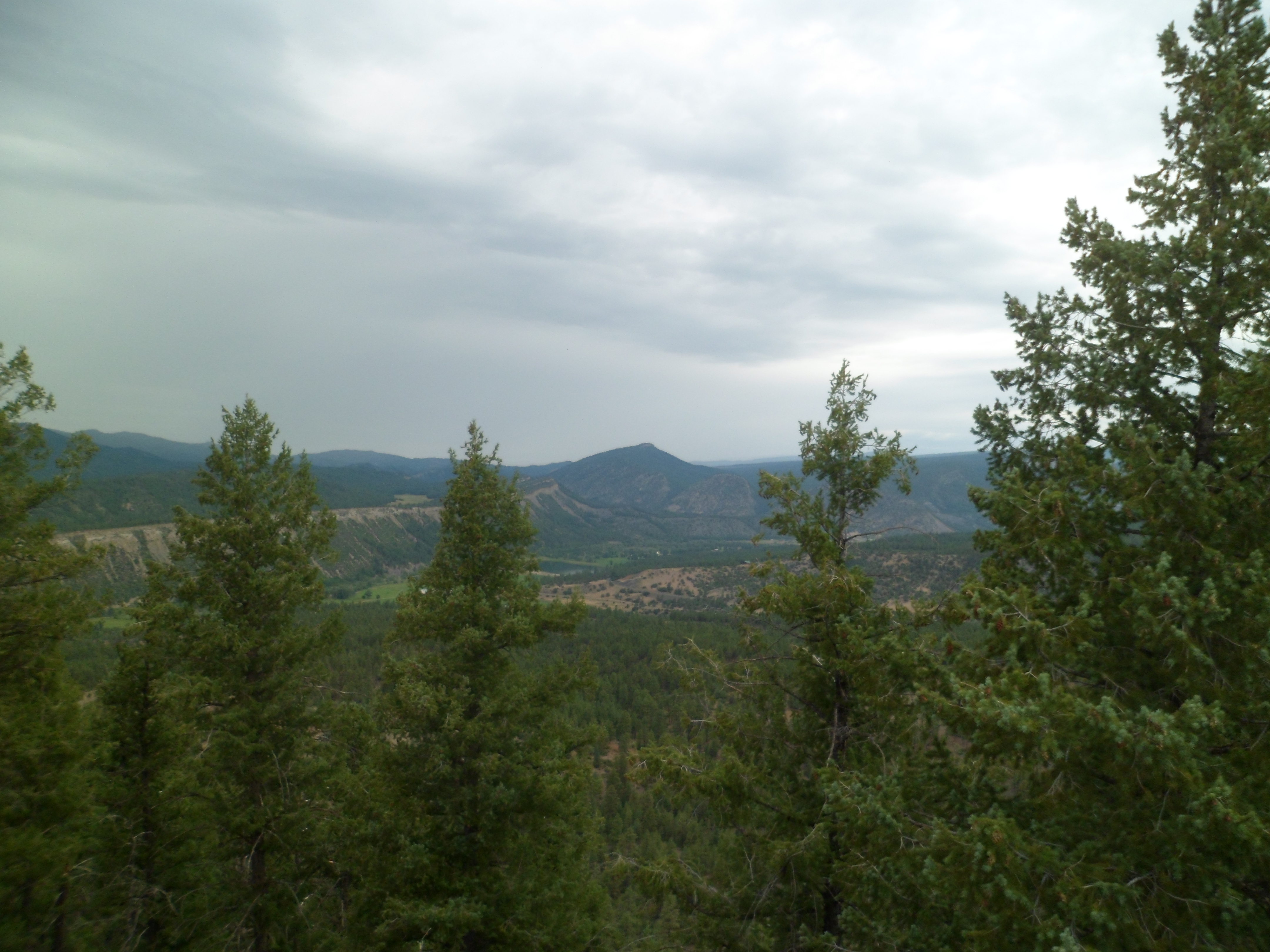
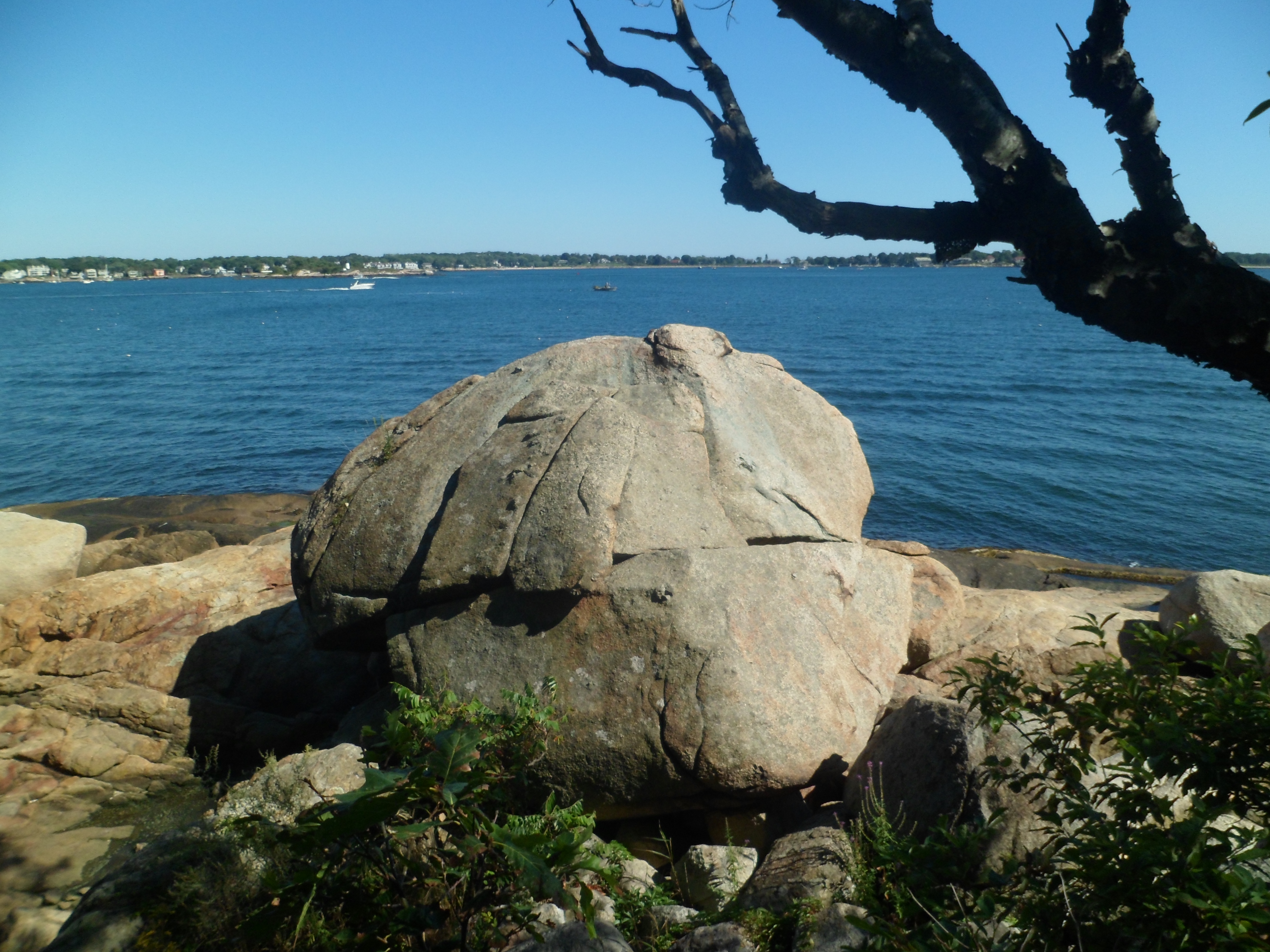
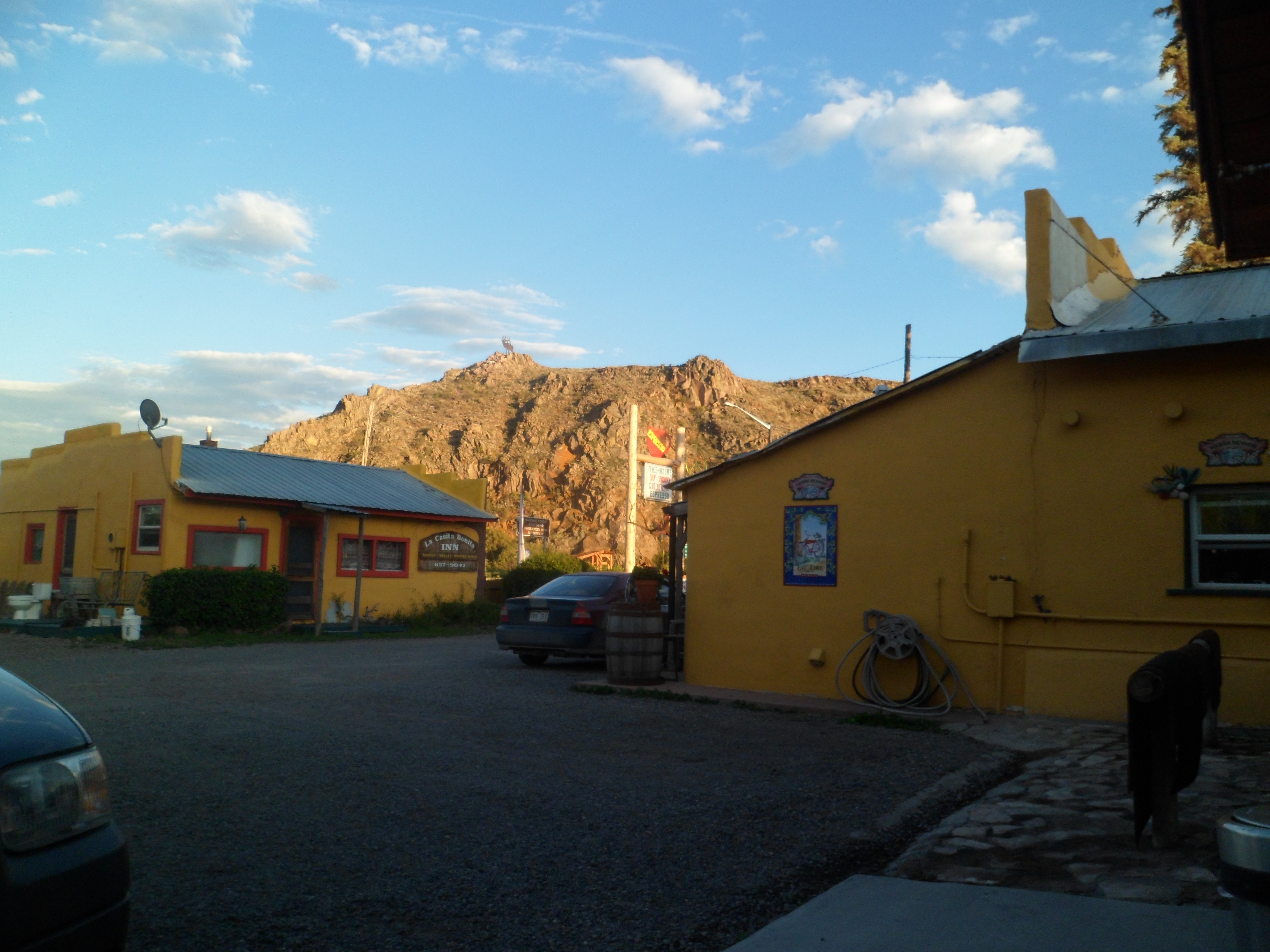
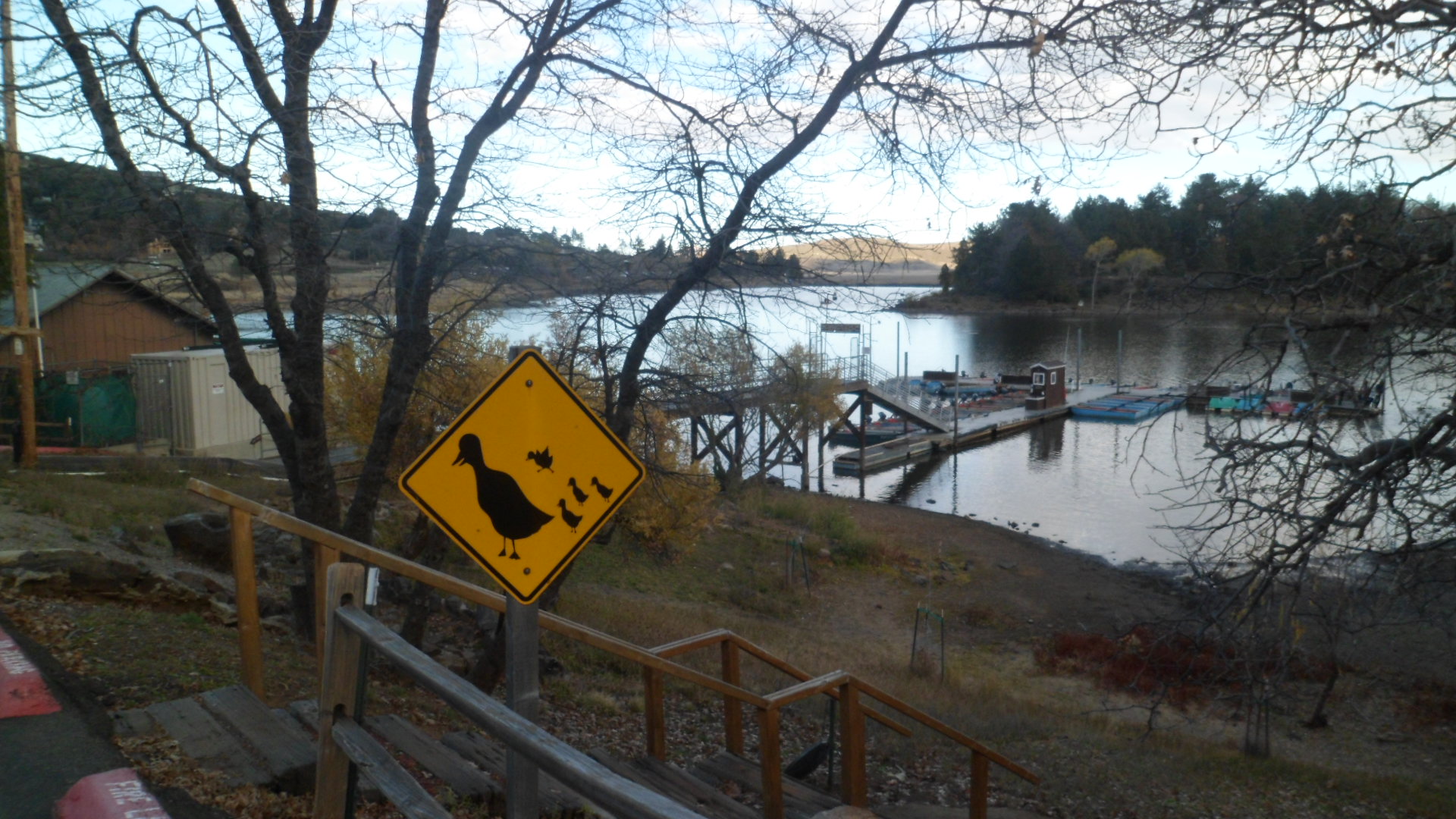
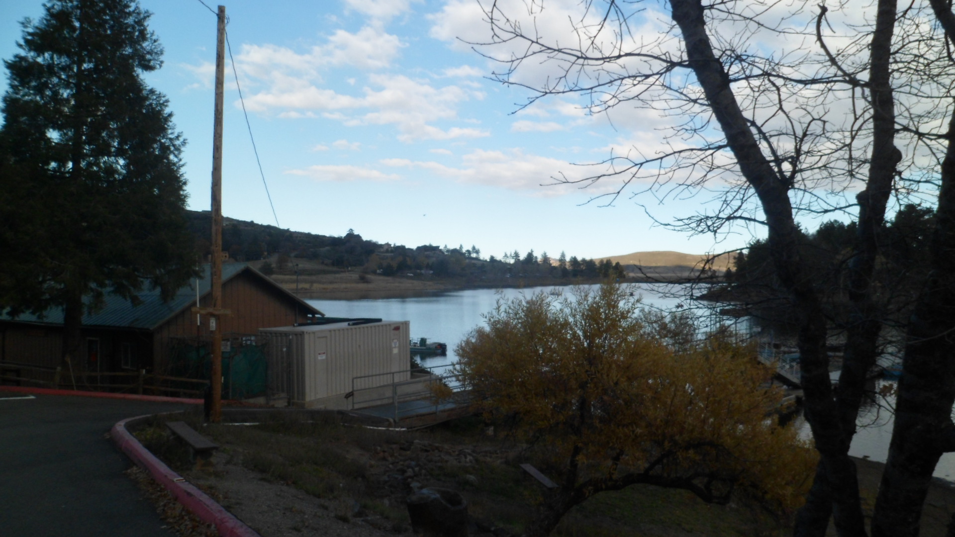
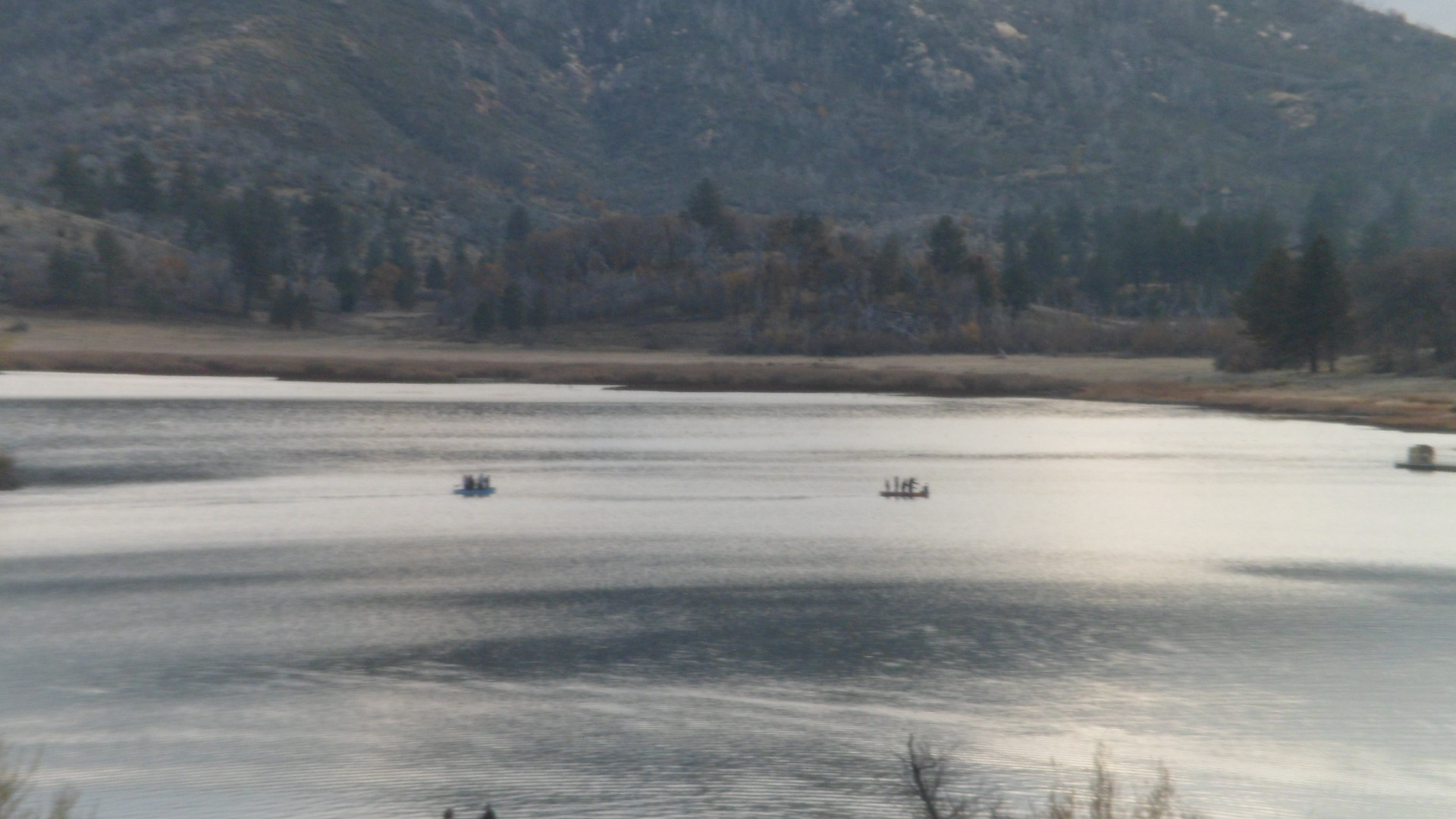
We continued back towards Julian, after an hour or so of hiking.  It’s good to give a nod or two to Lake Cuyamaca.

SAM_7447

SAM_7449

SAM_7451

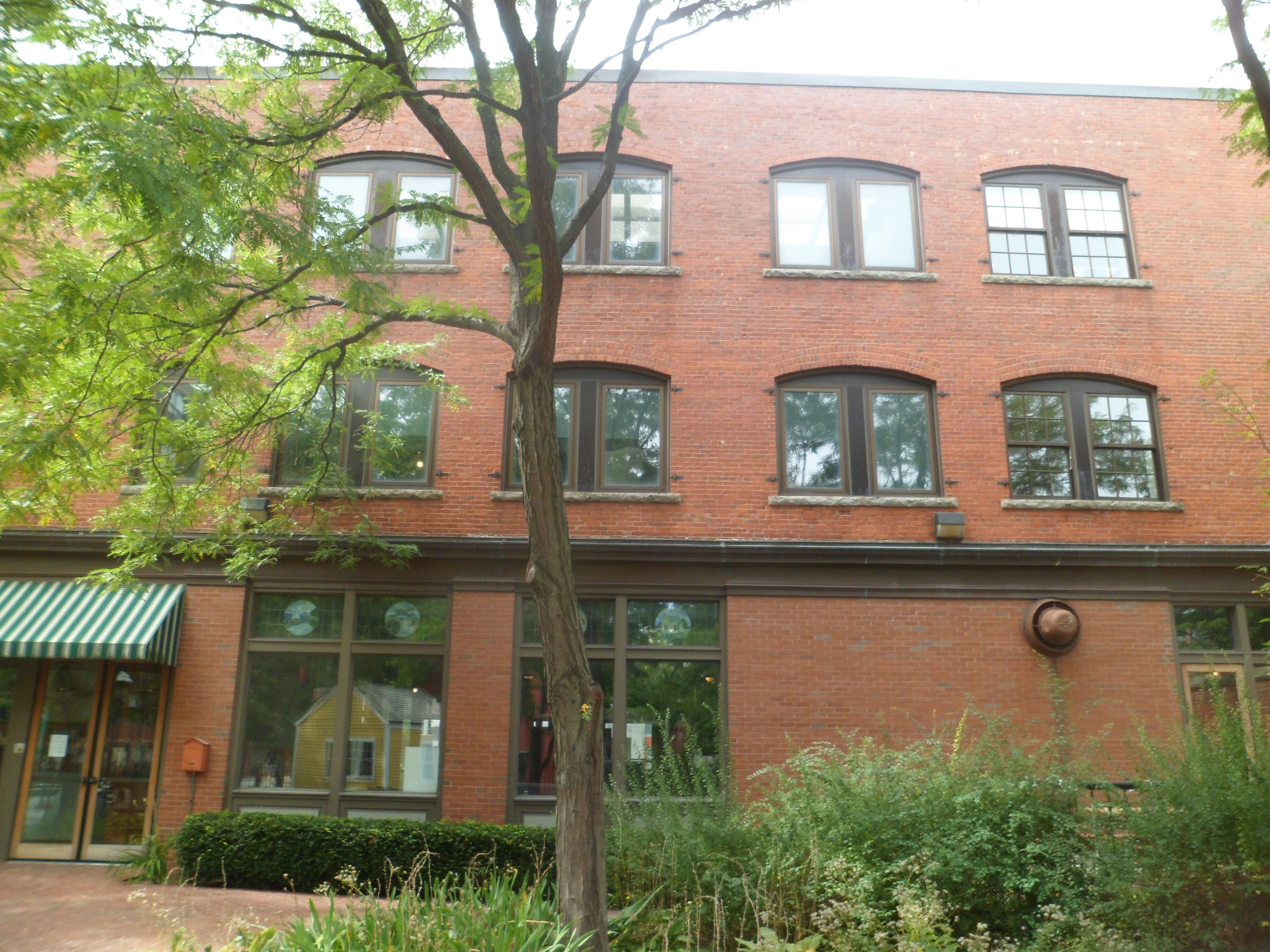
Julian offered a few options for Thanksgiving Dinner.  We chose Julian Cafe, where we had dined last year, on a different occasion. The traditional meal was fabulous, from apple-pumpkin soup and hot cider, through the full dinner plate centered on roast turkey and cornbread stuffing with chicken sausage.  There was no dessert included, but I had hot pumpkin bread, as part of the meal and Aram got his caramel apple.  So this Thanksgiving/birthday dinner was worth it.

The day was topped off with Jen.  Ms. Lawrence and Company did a smashing job with “The Hunger Games:  Catching Fire”.  Even Donald Sutherland did a much better job this time, as the villain.  There are some plot twists, especially at the end- no spoiler here.

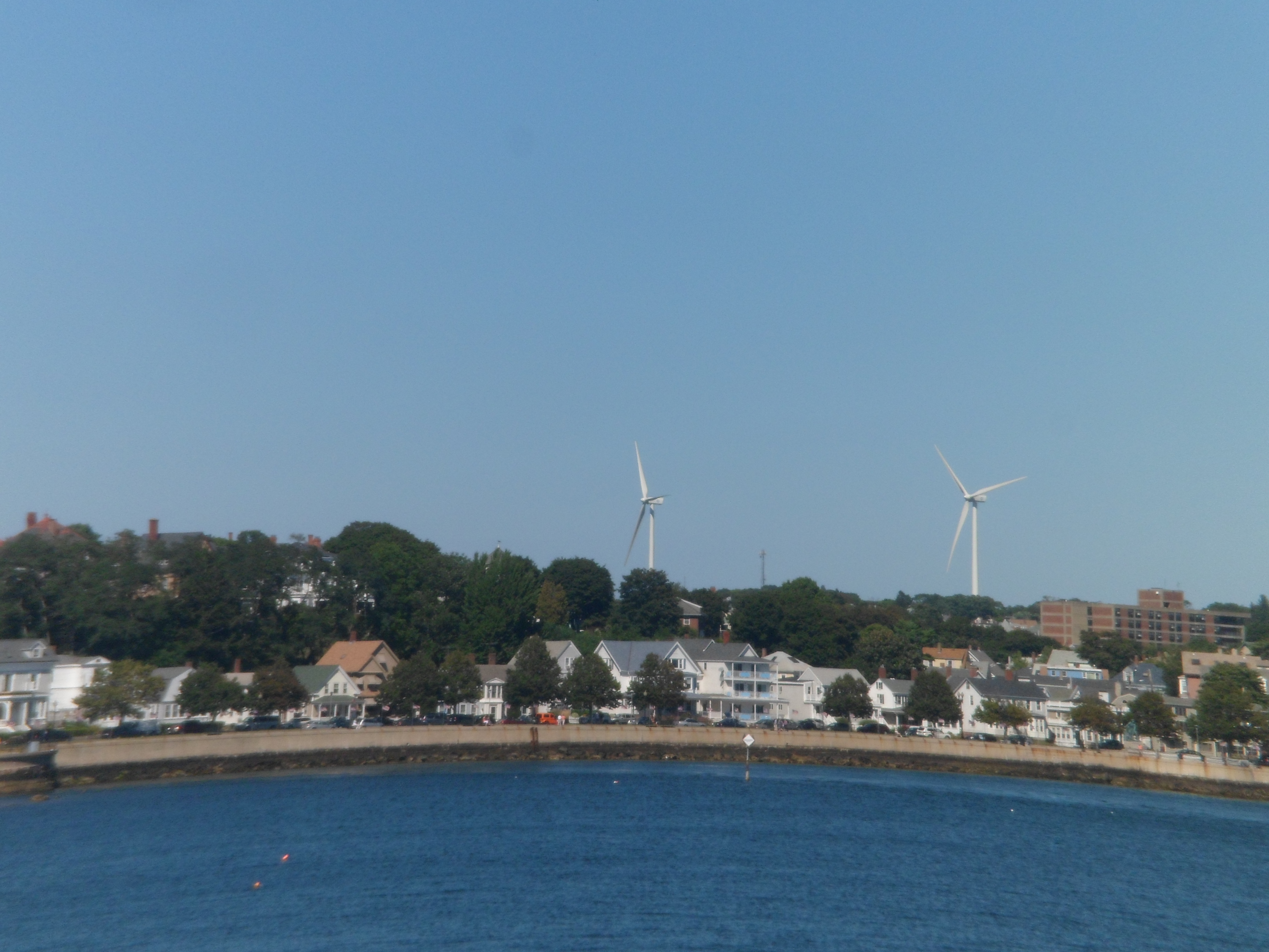
So, the convergence of special days was a fine one.  San Diego, Julian, and so many points in between, will always register dearly with me, because of over 30 years of family connections to the area.

Friday was lower key, being rather overcast.  After tending to Aram’s stuff, and my trying on his gift of new hiking boots (great fit!), we went to see “Thor:  The Dark World”.  Tom Hiddleston excels again, as Loki, and Asgard looks like the kind of multi-racial world where all is going so well- until stuff happens, courtesy of some dark forces.   The film is topsy-turvy, as is the universe during its plot unfoldment.  After this, we went to Zorba’s, taking along one of Aram’s barracks mates, and had fine Greek buffet fare.  The day ended with us watching several episodes from the first season of “Game of Thrones”- an HBO quasi-medieval-meets- Westerns series, that several of us have surely seen.  Unsettling, but entertaining, in a quirky way, the series is mostly faithful to the serial novels of  “A Song of Ice and Fire”, by George R.R. Martin.

The two days and three nights were among my fondest visits to SD.  Next:  Another fine day in the OC.

From Home to Home, and Back, Day 22, Block Island,Part 3: The Payne Steps to New Harbor

6

I undertook the Payne Steps, from the overlook to the seashore, as I can’t pass up an opportunity for a cardiovascular workout, especially when faced with luscious New England seafood.  SAM_6956

These are examples of cairn art, a pastime I have seen elsewhere along the New England coast.  It seems to be in full flower here along Block Island’s eastern shore.

SAM_6959

SAM_6960

Here is a piece of detritus, actually adding some ambiance to the beach.

SAM_6962

This “catapult” is of recent vintage, though several indigenous nations counciled here in the 17th Century, around the time of King Philip’s War.

SAM_6963

SAM_6965

The gypsum and limestone cliffs that ring the island provided a measure of protection for the gathered nations.

SAM_6964

Moving inland, just a bit, one finds static, catchment-type ponds.

SAM_6968

Along the approach to the glacial moraines of Rodman’s Hollow, an invitation to take a few swings at life.

SAM_6969

Then, we get to Rodman’s Hollow.

SAM_6975

SAM_6976

Once out of the glacial moraines, I passed the airport and New Shoreham’s Town Hall.

SAM_6978

Back in town, en route to New Harbor, I passed three more of Block island’s great hotels.  First, is the  National.

SAM_6980

Next is the Surf Hotel.

SAM_6981

Finally, here is the Harborside Inn.

SAM_6982

I came to New Harbor, a mile west of the Old, as the day was drawing to a close.

SAM_6984

SAM_6985

SAM_6987

There is “lethal” twist to New Shoreham’s rather formidable line of restaurants.

SAM_6988

Finally, as the ferry back to Point Judith pulled out, I caught the sunset.

SAM_6993

This island, like its Massachusetts and New York neighbours, is a place of dreams.

From Home to Home, and Back, Day 22: Block Island, Part 2: Eastern Resorts to Payne Overlook

9

I spent about two hours on this stretch of the walk, and found it the most varied in scenery.  The crowds congregated around the great houses, between New Shoreham and North Point Fibers.SAM_6909

Here is the Manisses Hotel, owned by the Abrams family.

SAM_6911

SAM_6912

SAM_6913

SAM_6914

Lightburne House is a bed and breakfast, just south of the Manisses.

SAM_6915

The Abrams’ also have an organic farm and exotic stock ranch.  The animals may be fed with pellets, which are purchased outside the pens.

SAM_6916

As it happened, only the donkey was much interested in eating.

SAM_6918

Tank, the Galapgos tortoise, was just glad to be out and about.

SAM_6922

I have always liked long-haired, shaggy-looking Scottish cattle.

SAM_6923

This seems to be my summer for emus.

SAM_6927

The dromedaries were making a racket, but kept back from feeding.

SAM_6930

The Birds of Paradise were not flying up anyone’s nose, in this early afternoon.

SAM_6931

Free-ranging alpacas are the sources of wool for North Light Fibers, whose store is adjacent to the ranch.

SAM_6932

SAM_6934

SAM_6937

1661 House is the southernmost of the Abrams Family properties.

SAM_6938

The Spring House is the last of the great resorts in the southeast quadrant.

SAM_6940

Occasional views from the road reminded me that there is good reason for these resorts to be expensive.

SAM_6942

SAM_6946

I arrived at Southeast Light House around 2:30.  The house is unoccupied, but is maintained by the Block Island Historical Society.

SAM_6947

SAM_6949

SAM_6955

Like other communities, Block Island suffered a loss on September 11, 2001.

SAM_6952

The view from Southeast Light is, nonetheless, breathtaking.

SAM_6950

SAM_6953

There were other gems awaiting:  Payne Overlook, and its Steps to the Shore, and Rodman’s Hollow.

These will be featured in Part 3.

From Home to Home, and Back, Day 22: Block Island, Part 1- New Shoreham

6

The small island that lies between Rhode Island’s southern coast and Long Island’s eastern tip has elements of both New England and New York.  New Shoreham, the village on the north side of the island, is the business and administrative center of the island, and is home to most of the 900 or so year-round residents.

It is to New Shoreham that regular ferry boats come, each day, year round, from Point Judith (Galilee), RI, New London, CT and Montauk, NY.  I took the 11 AM from Point Judith, arriving in New Shoreham at noon, on Friday the 13th.   It turned out to be a fine day, and no one was brandishing a scythe.

I spent the day on foot, exploring much of the eastern portion of the island, from New Shoreham  to Rodman’s Hollow and Black Rock Point. This post shows New Shoreham, and Ocean View, its town park, overlooking the sea to the east.

Here are some views of North Point, as we steamed towards the island’s Old Harbor.

SAM_6875

SAM_6881

Around noon, we came into New Shoreham.

SAM_6883

SAM_6885

The Visitors Center greets one and all.

SAM_6886

I enjoyed lunch at Finn’s, choosing an al fresco table.

SAM_6888

Old Harbor Inn is one of nearly two dozen establishments where one could spend the night.  I, of course, was a day traveler.

SAM_6887

The island’s sole rotary is in the middle of New Shoreham.

SAM_6889

Another Cape Cod style structure is the chapel on the hill.

SAM_6891

Just east of the chapel is Ocean View, with its meditation pavilion and short, but scenic trails.

SAM_6905

SAM_6892

SAM_6893

Here are the stairs to nowhere.  Actually, the area is a remnant of a small farm house, from the 18th Century.

SAM_6894

A small cenotaph memorializes a fisherman from New Shoreham.

SAM_6895

From the overlook, one can see Ballard’s Beach and jetty.

SAM_6896

SAM_6897

SAM_6906

The inland trail takes one around to a small farm, run by the town’s public school.  Ruins abound, of the abandoned farm.

SAM_6898

SAM_6899

SAM_6901

The children decorated and laid these stones.

SAM_6904

From Ocean View, the path took me past some other small farms.

SAM_6909

Next:  Part 2, East Side resorts to the Payne Overlook.

From Home to Home, and Back, Day 14: A Trip Back to Lynn

4

The place I  knew as “downtown”, to which I ran errands for my mother by taking the bus, to which we went to the ocean for a swim, where we often went hiking in the woods, was Lynn.  One of the earliest towns in Massachusetts Bay Colony, a bastion of Puritanism, Lynn became, in the Industrial Age, known as the “City of Sin”, for its gin mills, pubs and houses of ill repute.

The city is now moving forward with recognizing its heritage, and is taking steps to expand a long inchoate Museum of History.

SAM_6791

SAM_6792

It was to Lynn Woods, though, that my feet needed to go, and so, after a half-hour walk around the museum, I headed five miles west.

The Preserve has wide bicycle paths, a small rose garden and a shore along Lily Pond.  Mostly, though, there are the trees, and rocks, that are the legacy of a glacial period.

SAM_6793

SAM_6794

SAM_6796

SAM_6798

SAM_6800

SAM_6801

SAM_6802

SAM_6806

Once arriving at these two rock gateposts, know that you have arrived at the park’s western limit.

SAM_6808

Views of Lynn’s Walden Pond (not to be confused with the eponymous body of water in Concord, MA), are off to the north.

SAM_6809

SAM_6810

Of course, there is no connection between Penny and this bridge, but it touched my heart, anyway.

SAM_6811

This encounter with my youthful past reminded me that there are good things, marvels, in anyone’s life, at any stage.

Mesa Verde’s Wetherill Side- Part 1, The Gate to Step House

10

Wetherill Mesa, on the west side of the park, is one of the more patience-building areas in our National Park system.  This is because it’s off-limits, much of the year, and is only open 6 hours a day, when it is accessible.

I recognize the reason- the narrow road, with sheer drop-offs in spots, would be horrific places to end one’s life.

Here are some scenes from this final stop on my earlier spiritual quest, on August 1.

This is in two parts.  First, from the gate to the trailhead for Step House, one of two preserved ruins at Wetherill.

SAM_6289

SAM_6290

SAM_6292

A hawk graced the sky overhead, on that warm day.

SAM_6294

SAM_6295

SAM_6297

SAM_6298

SAM_6300

Much of the area was ravaged by wild fire, in 2011.

SAM_6303

Much of it is coming back, however.

SAM_6304

SAM_6306

SAM_6311

There are a fair number of pictographs and petroglyphs, along the approach to Step House.

SAM_6312

SAM_6314

SAM_6315

SAM_6319

Next: Step House’s Preserved Ruins

Chimney Rock National Monument

8

This abandoned settlement, east of Mesa Verde, predates the larger sets of ruins by 300-500 years.  The settlement was built by people known these days only as “Ancient Puebloans”. They are regarded as the ancestors of those who built Mesa Verde and of the modern Zuni,  Keresan and Tewa peoples, of New Mexico.

Here are some scenes of the area, taken during a guided tour, on August 1.  All tours begin and end HERE.

SAM_6253

Then, visitors pile into their vehicles and follow the guide, up the road.  Scenes like this may be had, from the upper parking lot, near the first ruins.

SAM_6255

SAM_6256

Here is an example of an unexcavated house site.

SAM_6257

It was pretty hazy on that day, but one could get a sense of the ruggedness of this area.

SAM_6265

SAM_6268

SAM_6257

Here’s a semi-excavated site. ^  Below, is a marker, used by the ancients, for astronomical positioning.

SAM_6258

Here is one of the granite formations near the first set of dwellings.

SAM_6259

Now, we are at the major set of structures, including the kivas and larger dwellings.

SAM_6260

This limestone bench made for a good resting place, for some of the disabled members of our tour group.

SAM_6270

SAM_6273

This alcove, on the south side of the Great House, was intended to provide support for the structure.

SAM_6278

SAM_6281

Here are some shots of the Grand Kiva, the major ceremonial site in the complex.

SAM_6282

SAM_6283

SAM_6285

These granite formations are among those which give Chimney Rock its name.

SAM_6288

Once I had finished here, one more goal remained on this spiritual journey:  Wetherill Mesa.

From Home to Home, and Back, Day 13: Gloucester, Part 2- Stacy Esplanade and Stage Fort Park

6

Gloucester is a walking town, though if it hadn’t been, I’d have made it so.  As it is, Stacey Promenade, named for a local hero, guides one along the harbor beach.  South of the beach, Stage Fort Park has trails that wind around, the cliffs above Gloucester Harbor.

Here we go- scenes from the afternoon of September 4.

Meet Gloucester Harbor.

SAM_6742

SAM_6743

There are two stand-out statues along Stacy Esplanade.  The first is the Fishermen’s Memorial.

SAM_6745

SAM_6746

A shoutout is here, to George O. Stacy, for whom the Esplanade is named.

SAM_6747

The second important statue commemorates the wives of fishermen.

SAM_6749

Once the Esplanade ends, Lucy Brown Trail begins, and takes one into Stage Fort Park.

SAM_6751

This remarkable cliffside path reminds me of Golden Gate Park, in San Francisco.

SAM_6752

These cannonades are reminders of the War of 1812.

SAM_6754

One may sit for hours here, and contemplate the sea.

SAM_6755

Along any beach in New England, there are small forested islets.

SAM_6757

Looking across Gloucester harbor, one sees abandoned factory buildings, where fish used to be processed.

SAM_6758

Wind power is a growing focus, along the coast.

SAM_6759

Kelp is a major product of the northeast coast.  Altogether now, “EEEWWW”! 😛  Seriously, tough, this product is great for pregnant women, seeking to keep their iron intake up.

SAM_6760

There are stairs aplenty, for those needing aerobic exercise.

SAM_6762

Octopus Head Rock sits atop an eastern cliff in Stage Fort.

SAM_6764

I spotted the turret of Hammond Castle, across the way, on the far south side of Gloucester.

SAM_6766

Atop Stage Fort Park, the Girls’ Track Team, from Gloucester High School, was having a practice.  Since I don’t photograph other people’s children, without their parents’ permission, my focus went to reminders of Gloucester’s place in Colonial America.

SAM_6767

SAM_6769

Gloucester, like most small towns, has a gazebo in its main park.

SAM_6768

Finally, Stage Fort Park’s southwest corner has a statue of Triton, mythical son of Poseidon.

SAM_6771

Next;  Gloucester, Part 3, the Interior of Downtown and the North Side.

Above The Seven Falls of Colorado Springs

8

I had one more self-made task in Colorado Springs, on July 31.  The course of Cheyenne Creek, above Seven Falls, is itself an interesting region, with breathtaking views of the city below, and of Garden of the Gods, on a great day.

Here is what I saw, above the Falls.

SAM_6220

SAM_6222

SAM_6225

SAM_6226

There is a Hidden Falls, above the seven.

SAM_6228

After that, the trail gets serious,j just for a bit.

SAM_6230

Pikes Peak lurks in the background- always the 800- pound gorilla.

SAM_6232

There are also impressive peaks, nearby.

SAM_6233

Helen Hunt Jackson, whose tomb is there, was one of the driving forces behind conservation of this area.

SAM_6236

The same could be said of Melvin Weimer.

SAM_6237

They oversee the promised views.

SAM_6238

SAM_6241

That is, until Mayhem, like me, gets in the way.

SAM_6242

SAM_6243

I didn’t need it that day, but there is an elevator, to and from the parking lot, to the mid-point of the Falls.

SAM_6245

A couple of postscripts to this paean to Seven Falls.  On my way down to the Four Corners, I caught these scenes in Del Norte, one of my favourite SoCo towns.

SAM_6248

One of these days, I am going to stay at La Casa Bonita.  The plumbing was sitting outside the cabin, on that last night in July.  It was all good, though, since I got to sleep under the stars.

SAM_6249

Next:; Chimney Rock

Colorado Springs’ Seven Falls

11

Arizonans are justifiably proud of their Seven Falls, east of Tucson.  Coloradans are, with equal justification, proud of THEIR Seven Falls, south of Colorado Springs.   http://www.colorado-hiking-vacations.com lists the falls, like so:

“Seven Falls is made up of seven separate waterfalls which each have their own name.

1) Ramona Falls-this one is named after Helen Hunt Jackson’s book “Ramona”.

2) Feather Falls-this one is named for the way it looks.

3) Bridal Veil Falls-yes, because it looks like a bridal veil.

4) Shorty Falls-you guessed it: because of its short drop.

5) Hull Falls-this one is named after the 1880s owner of the falls.

6) Weimer Falls-Weimer was the name of the second owner of Seven Falls.

7) Hill Falls-and last but not least, Hill is the name of the current owners of this seven tiered waterfall.”

The falls may be reached by climbing up two sets of stairs, or by taking an elevator up the first elevation change, and taking the steps up the other set.  First, here are a few views of the mountain, down which Cheyenne Creek flows, creating the falls.

SAM_6184

SAM_6185

SAM_6186

SAM_6188

SAM_6190

SAM_6191

SAM_6194

Here are some views of the stairs, followed by the falls themselves.

SAM_6196

SAM_6197

SAM_6201

SAM_6207

SAM_6210

SAM_6213

SAM_6215

SAM_6217

In the next post of this series, we will look at the trails above the falls.