January 1, 2016, Prescott- Yes, I know it’s still 2015, here in the American West. It’s New Year’s Day in Rouen, France, one of my ancestral homes. It’s also 2016 in: Silesia, Poland; Bremen, Germany; and Tours, France- three of my other ancestral homes. In 5 1/2 hours, the New Year will come to Old Town, Maine, where my Native American relatives still live. I am starting to beat a dead horse.
I will use the road motif for this year’s posts, much as the Road took me to age 65. Highways indicate assertiveness, clear vision and moving out with a purpose. So I intend 2016 to be.
I came back to Home Base, yesterday, to find I have a financial issue to settle, and will tend to it next week. In the meantime, bills and rent will get paid and I was, thankfully, able to fulfill a promise I made, last week, to help a sick friend. My nest egg isn’t growing right now, but neither is anyone else’s, in Wall Street’s mad rush to sell anything that’s not nailed down. My nest egg IS nailed , though, so the bears can just go back into hibernation.
Meanwhile, I am not hibernating. The next three days will see me on one trail or another, as we enjoy crisp, clear weather. The schools will be back in session next week, and I will be ready for whoever needs my services. The certification process will take a bit longer- ADE doesn’t save transcripts, so those need to be re-sent, and my long-ago teaching internship host will need to verify that I did complete “practice teaching”- in Fall, 1975. So, I see that process being successfully completed by the end of January.
My essential oils have benefited me, health-wise, and I will be at three conferences, this year, that focus on their promulgation. This month, and June will find me in Boulder and September features an International Convention in Salt Lake City.
Travel in the summer will depend on how well I do, work-wise, this winter and spring. A week or so in Reno/Tahoe, at the end of May, is a given. Anything beyond that, though, remains to be seen. In any case, the focus will be on time with friends, not on “Here’s Gary at yet another fabulous site!” I never want the latter to be how all this is viewed.
Reading is still huge for me, and with the Kindle, an excellent library system and three nearby book shops, I will never run short of material. I am currently engrossed in “The Witches: Salem, 1692”, Dick Van Dyke’s “Keep Moving”, “Terra in Cognita”, by a fellow Baha’i: William Barnes, “Extreme Ownership”, and “The Dinosaur Heresies”. My tack is to read at least ten pages of a book, then go to one of the others, and so on.
This year marks the Centenary of ‘Abdu’l-Baha’s initial offerings of “Tablets of the Divine Plan”. I will have much more to say about this remarkable set of documents, during the course of the year. Suffice it so say that, without the guidance I have received as a Baha’i, the person some in my family remember from long ago, and still think they see, would still be stumbling around- and I would not be blogging, to say the least.
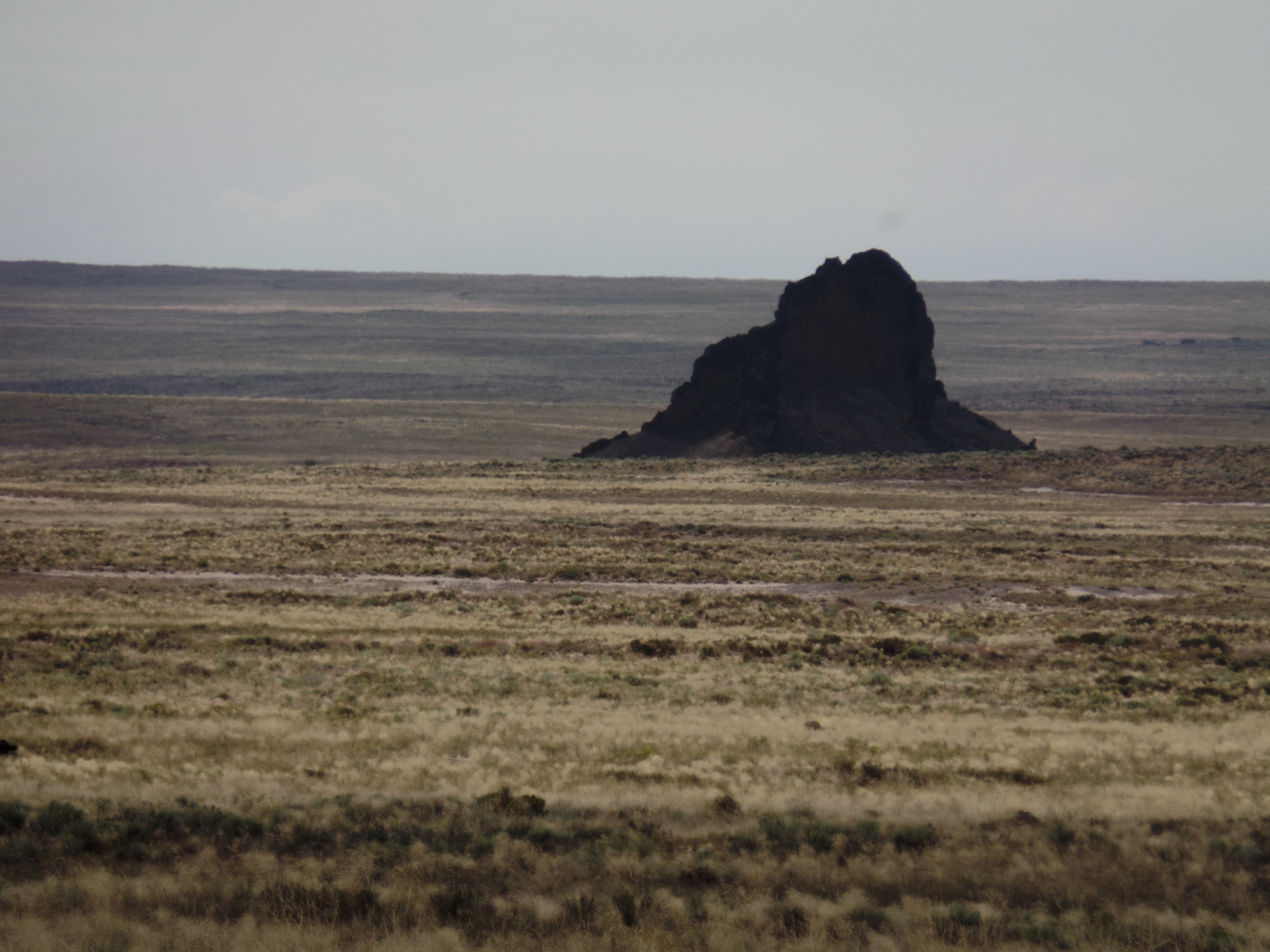
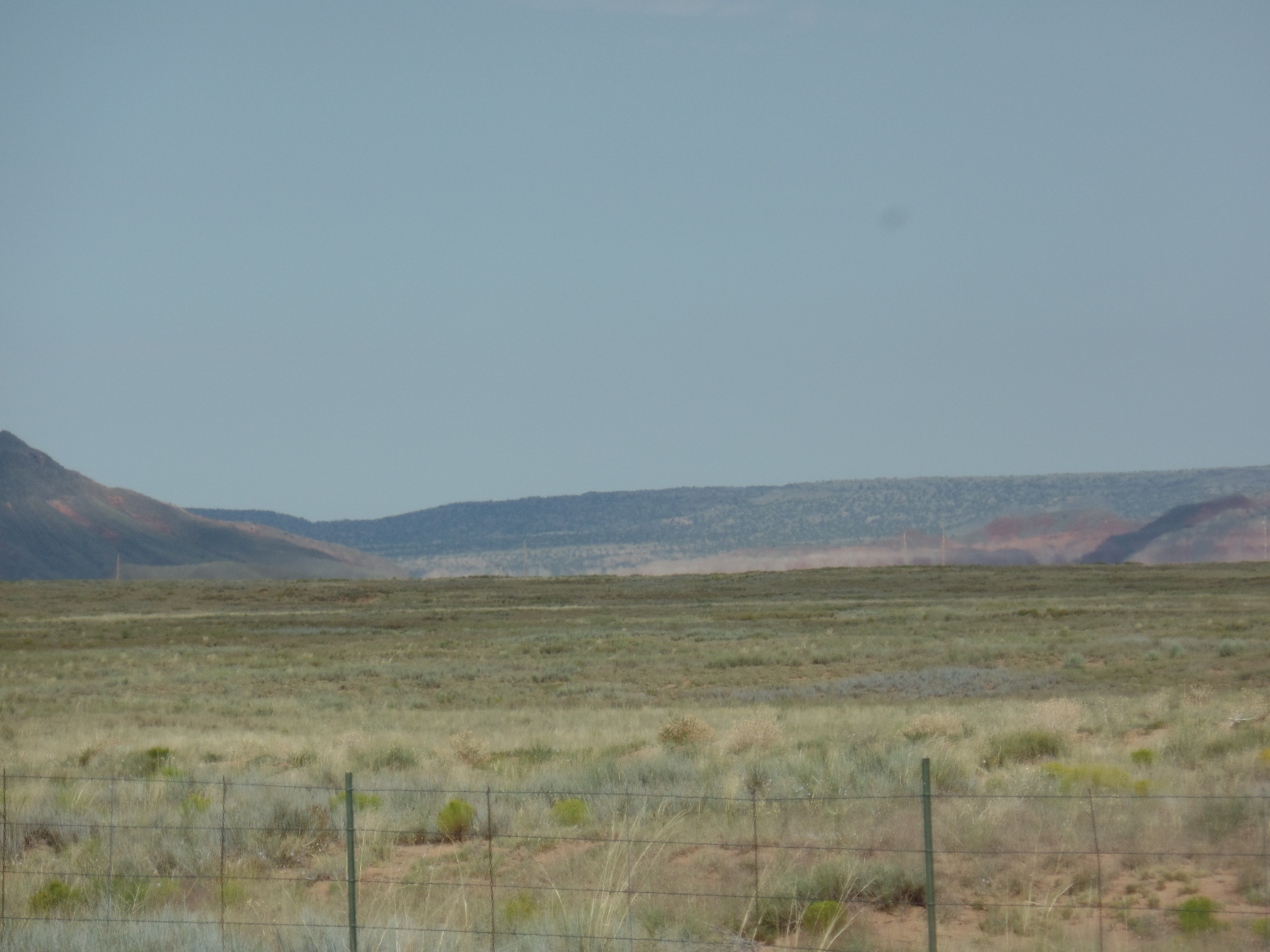
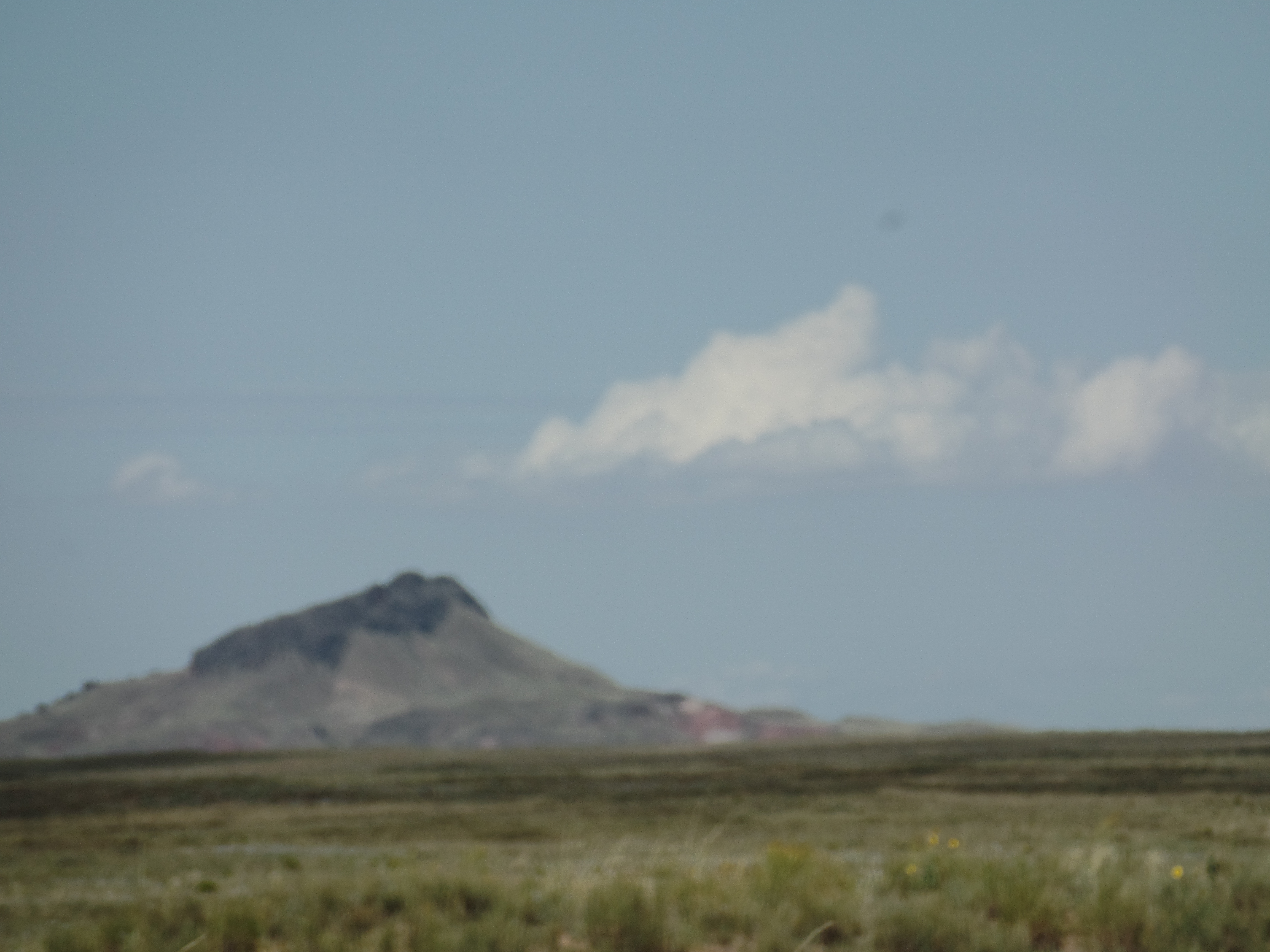
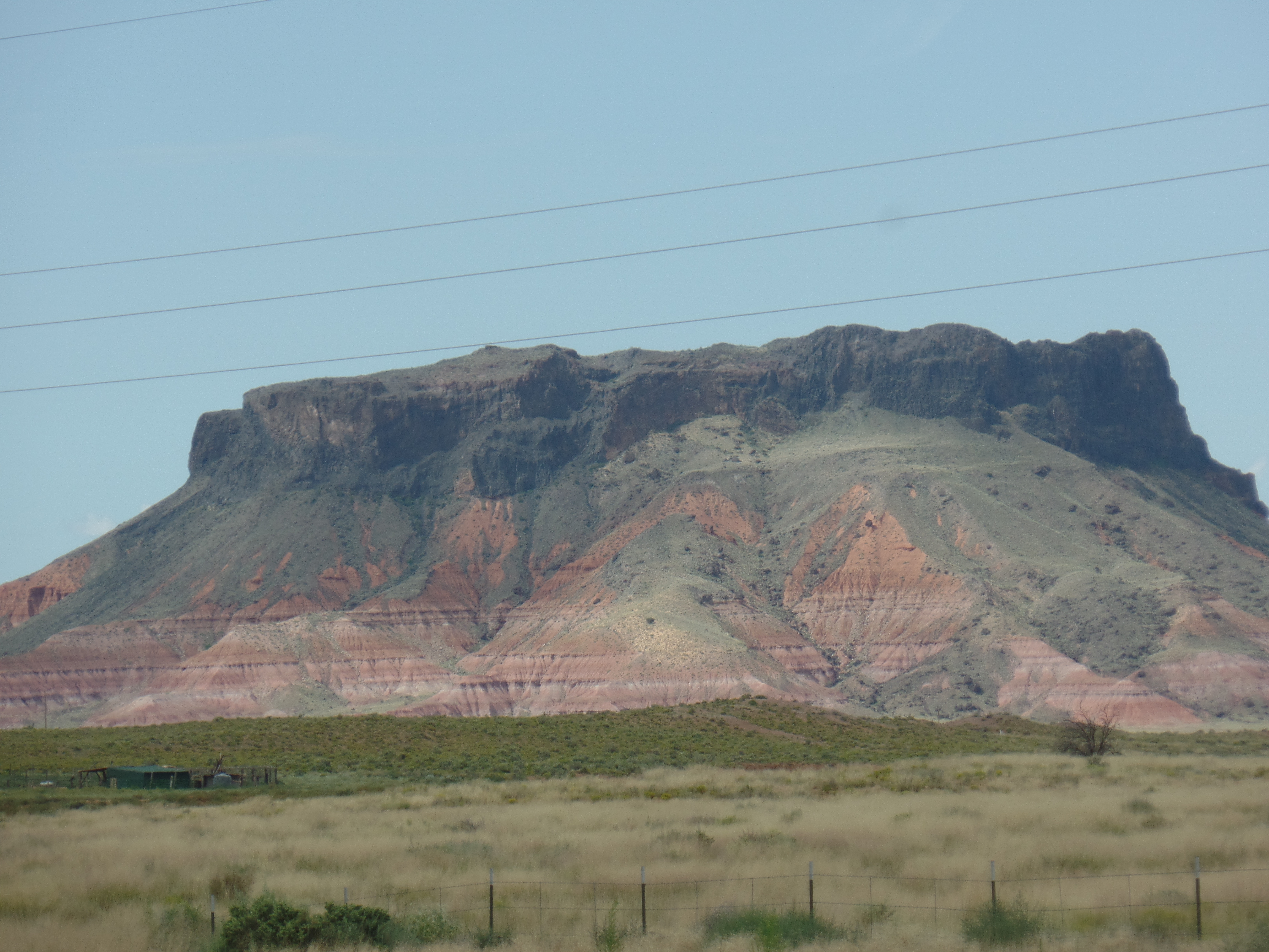
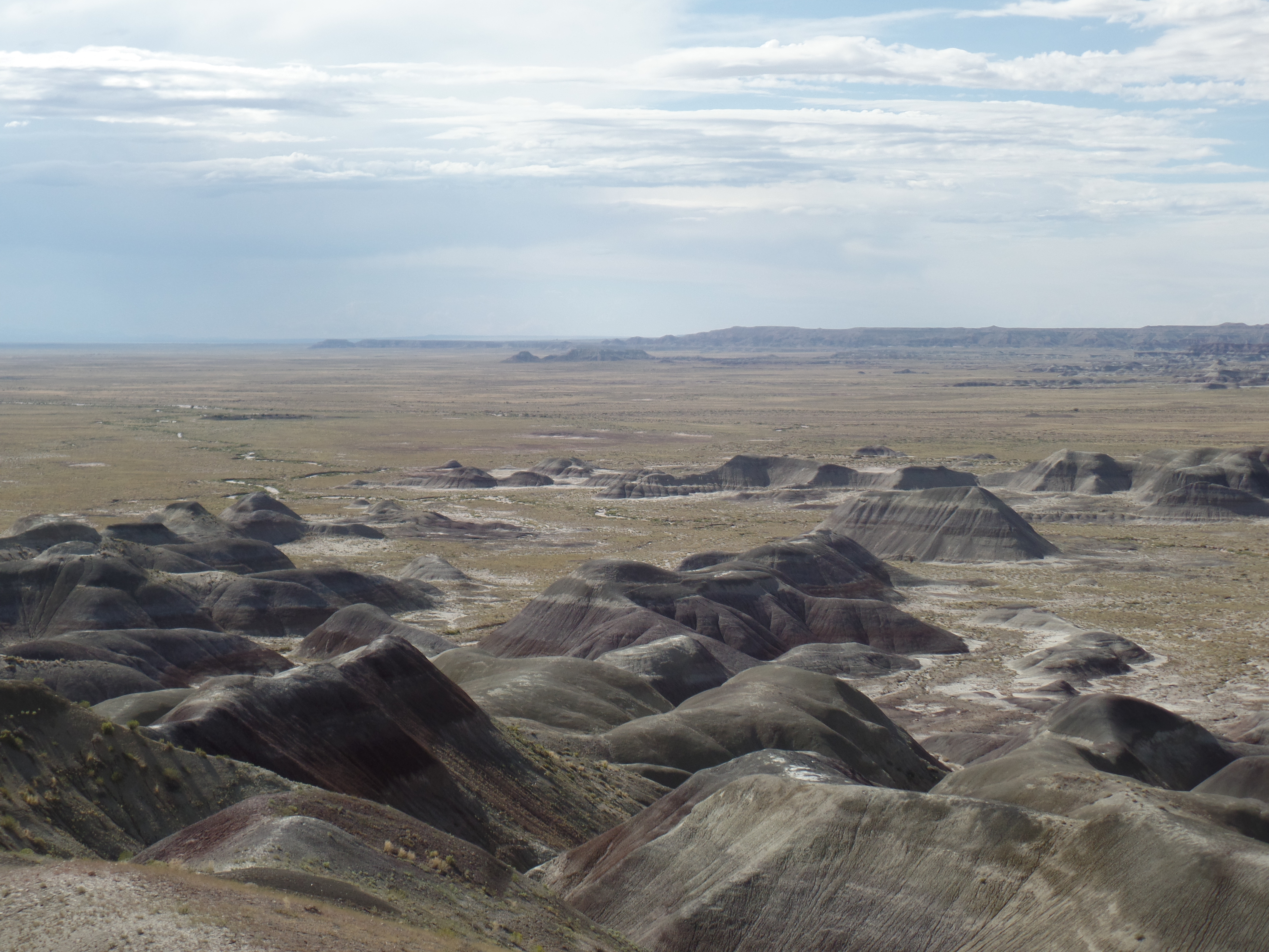
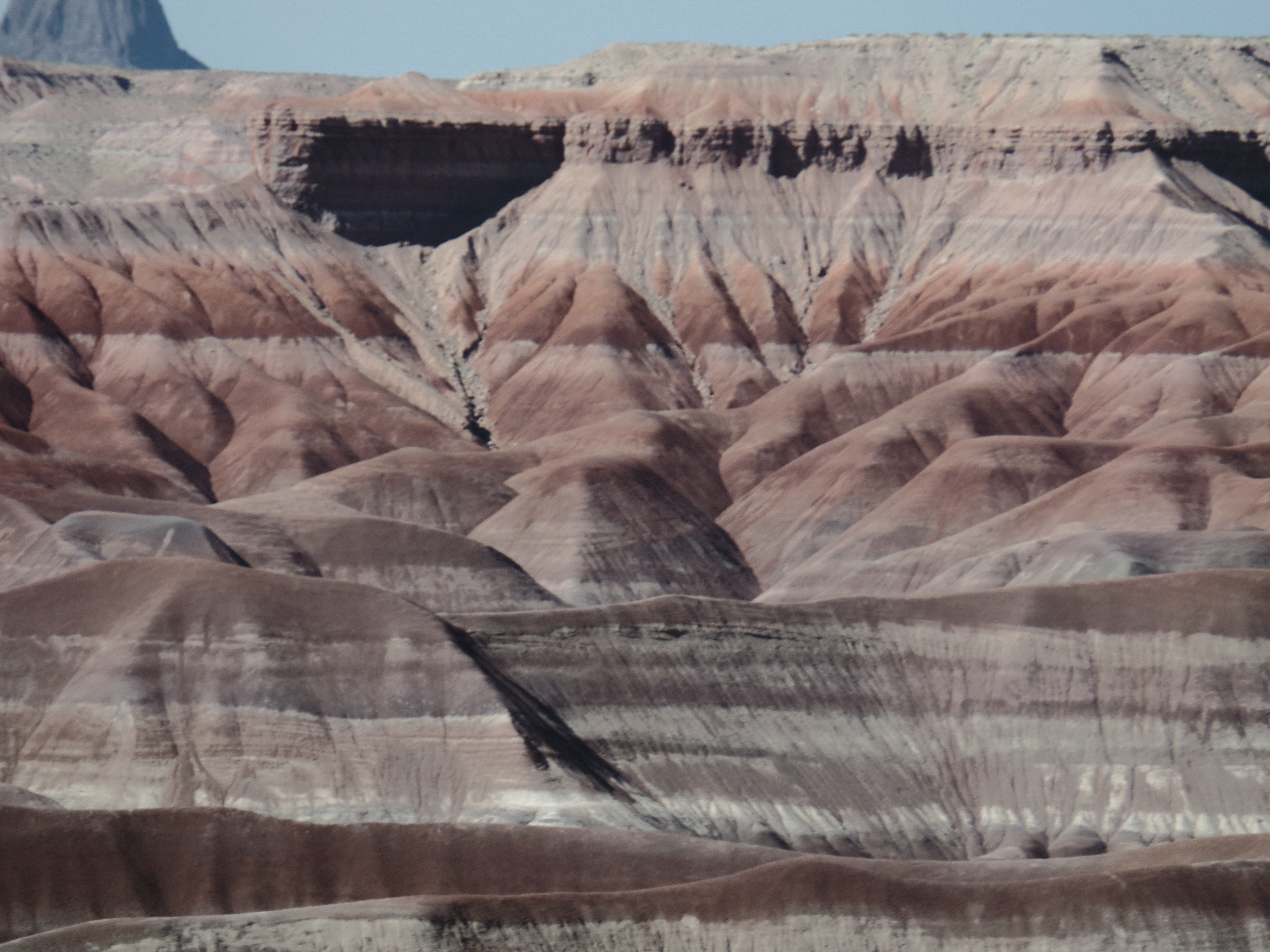
This year also marks the Centenary of the National Park Service. I will visit several National Park holdings in Arizona, and around the Southwest, in the course of this year. Most certainly, my boots will meet some trails of the Grand Canyon, and Canyon de Chelly, for the first time in 18 years.
Most importantly, though, is WHO I am going to be in these next twelve months. That will never be defined by anyone but yours truly. To say otherwise would be to invite chaos. Some, not far from here, want me to move nearer to them. That is not happening. Others would rather I stay as far away from them as possible. So be it. Any given decision could be resolved in at least seventy different ways. The factors, for me, are these: Service to those in need, especially children and youth; my own family’s well-being; my ability to fend for myself (I am not presently, nor will I be, a burden on anyone else); and, lastly, the overall circumstances of the world-at-large.
Happy 2016, one and all!