October 21, 2019, Cottonwood-
Being a sucker for distance trails which can be hiked easily in segments, I’ve managed to complete the Prescott Circle and Black Canyon National Recreation Trails, over the past five years. Limekiln Trail, which stretches from Deadhorse Ranch State Park, here in Cottonwood to Red Rock State Park, in Sedona is the latest undertaking.
It is a fifteen-miler, one way. So, this morning, I headed out on a whim, and parked at the Middle Lagoon, of Deadhorse. Up past the actual Lime Kiln, a defunct lime quarry, I bid a good day to a couple who were inspecting it from a distance and headed towards my goal of what I thought would be the 6.5 mile post. (I ended up at the 4.5 mark, before heading back, due to sunset and park closure concerns, but no matter).
Here is a view of the kiln.
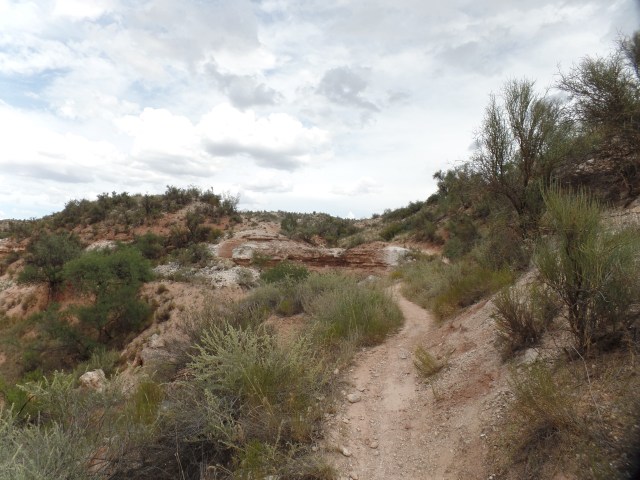
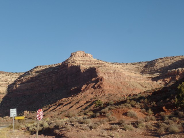
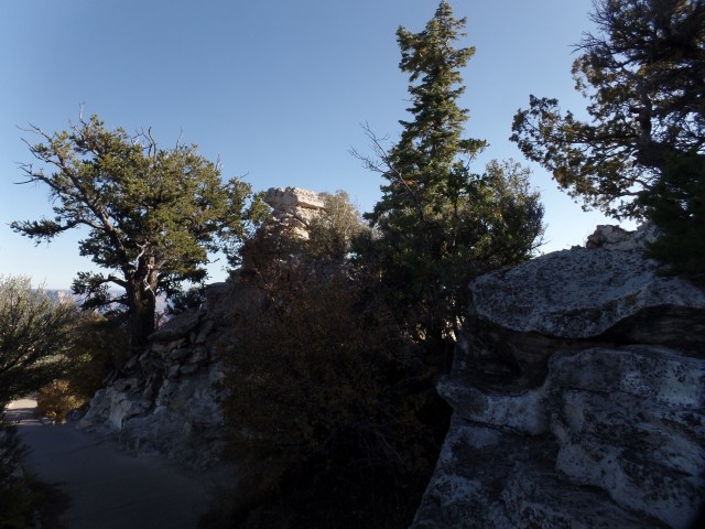
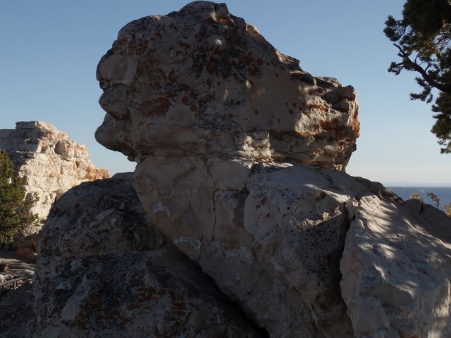
The first 1/2 mile or so, is the only real climb, on this segment of the trail. I spy a rock face, looking me over, from the rim of Rattlesnake Wash Ravine.

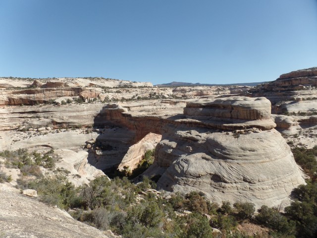
This granite outcropping resembles a dinosaur rib cage.

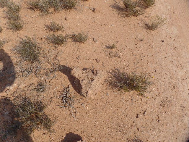
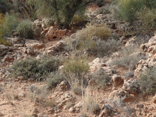
Heart-shaped objects would be abundant, today.
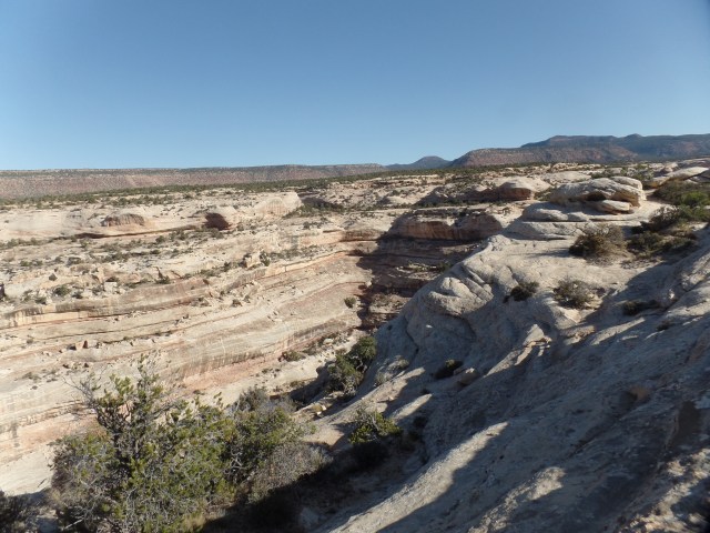
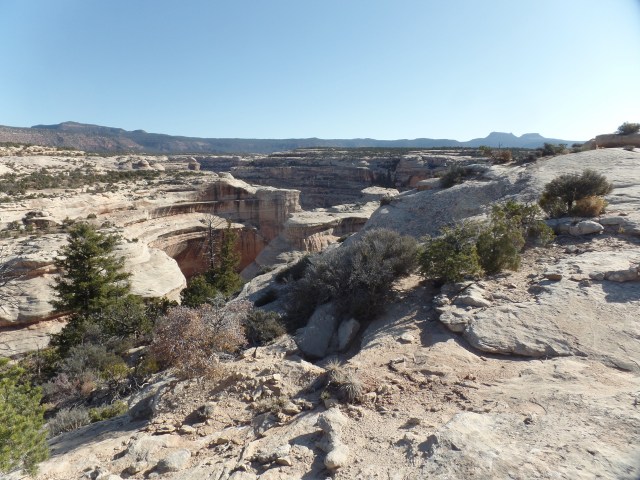
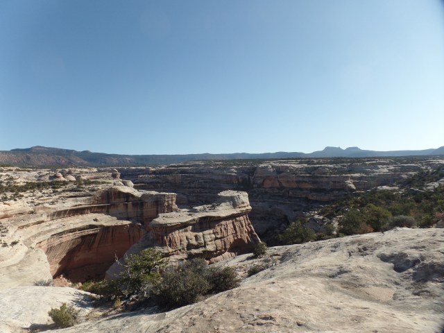
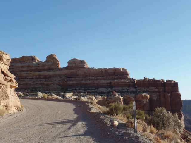
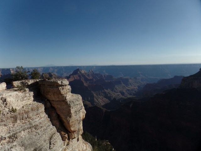
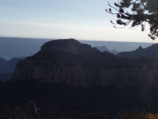
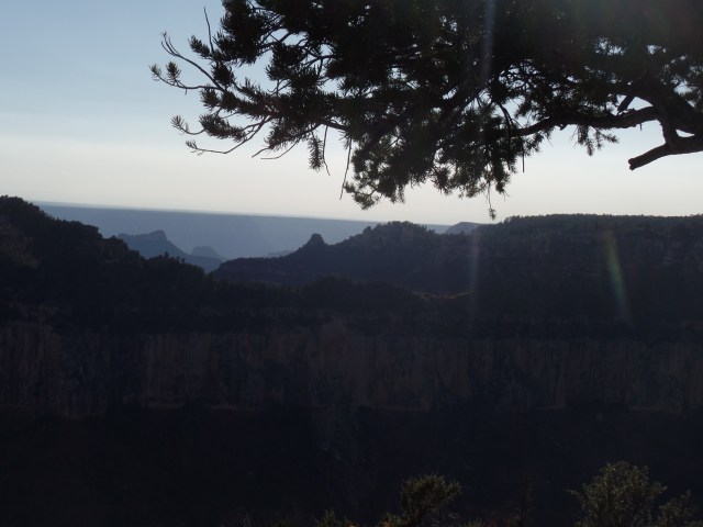
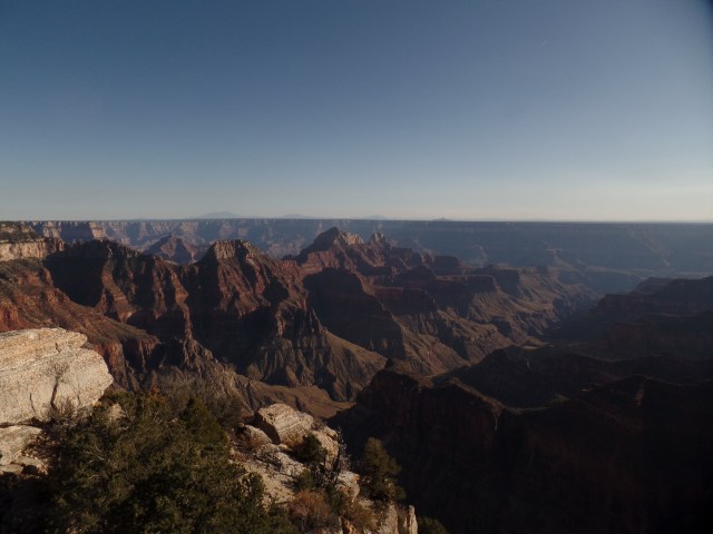
Here are a couple of views, from the north side of Rattlesnake Wash Ravine.

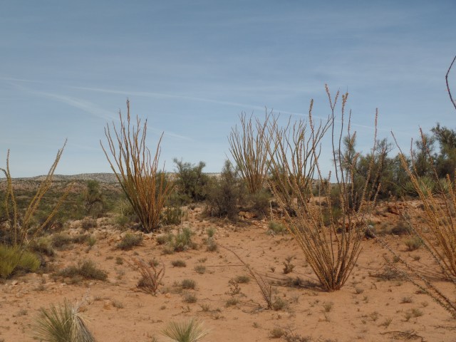
Yes, central Arizona has its fall foliage. These ocotillo are putting on their mini-show.

Yuccas also send their wishes skyward.

Limekiln is a very well-marked trail, especially with other Forest Service trails, intersecting, towards the 2-mile mark.

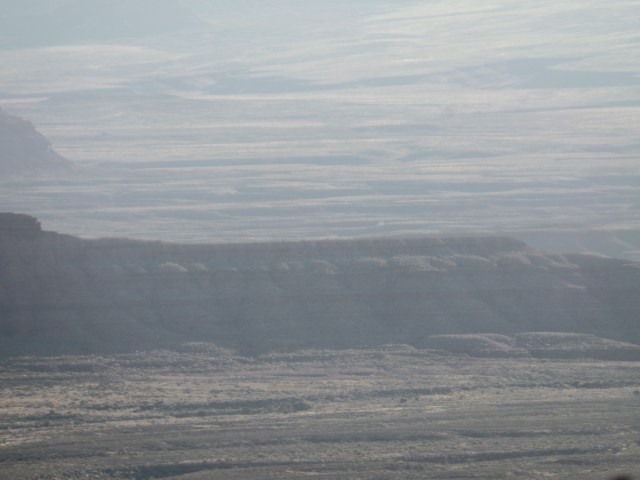
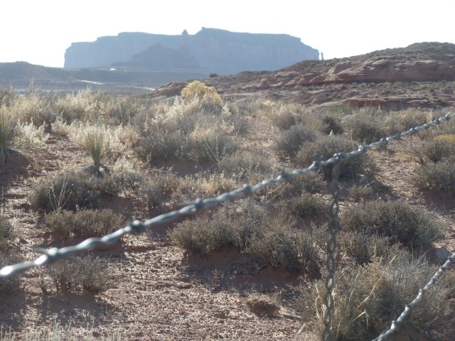
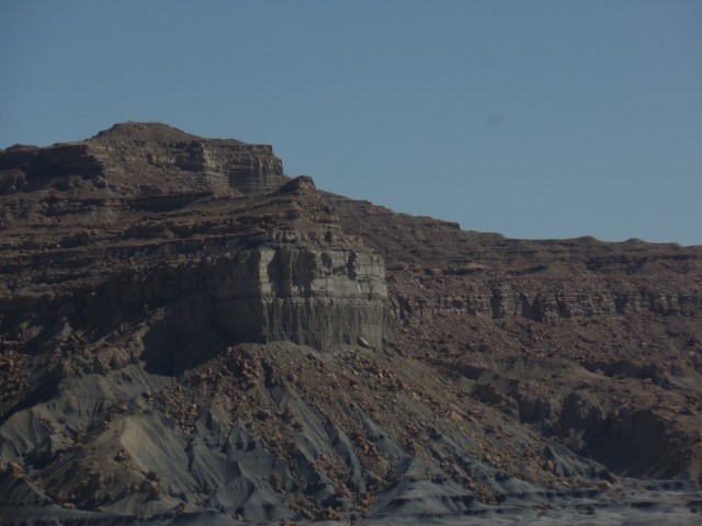
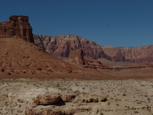
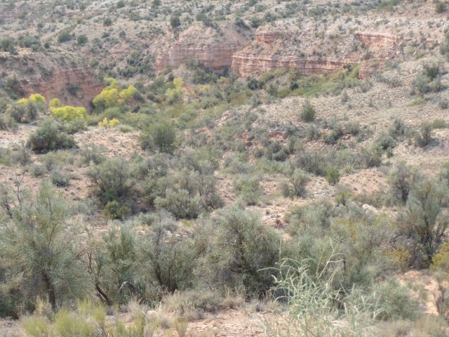
Around the 4.5 mile mark, Highway 89-A is visible in the distance, and long ago volcanic activity is evident.
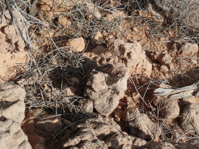
I took a rest break, snacking on beef jerky and baklava, whilst sitting next to this welcoming lichen.

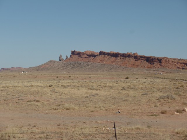
Igneous rocks, of course, also extend their welcome.
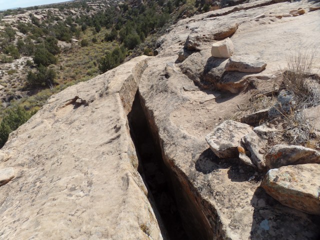
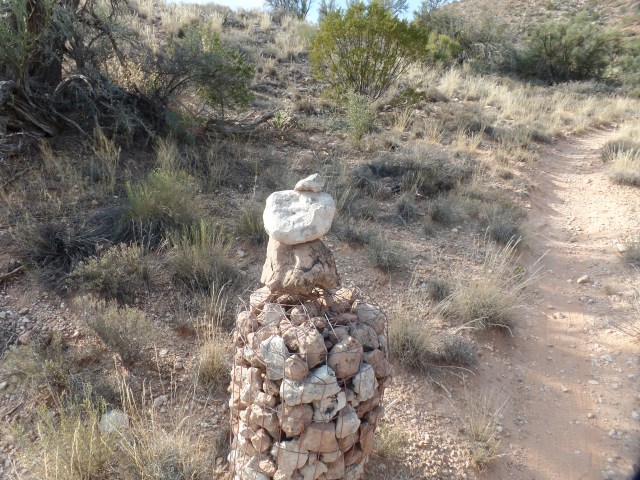
Carefully-maintained cairns keep the visitor on the right path.
Lastly, more ocotillos bade me farewell.

The rest of Limekiln will be hiked in two segments, sometime during the next five weeks: Mile 9, alongside Highway 89-A to the bench where the heart-shaped lichen is found (Mile 4.5) and Red Rock State Park (Mile 15) to Hwy 89-A.